The best mountain hikes around Pentling
3.0
(1)
8
hikers
5
hikes
Mountaineering routes around Pentling are situated on the eastern edge of the Altmühltal Nature Park and along the Danube River, offering varied terrain. The region features river valleys, dense forests, and limestone rock formations, providing opportunities for strenuous hikes and access to rock climbing areas. While not a destination for high-alpine mountaineering, the area's geography supports routes with significant elevation gain and challenging ascents within a hilly landscape.
Best mountaineering routes around Pentling
- The most popular mountaineering route is Jurasteig…
Last updated: October 6, 2026
3
hikers
Hard mountaineering route. Very good fitness required. Mostly accessible paths. Sure-footedness required.
3.0
(1)
1
hikers
6.69km
02:00
200m
200m
Moderate mountaineering route. Good fitness required. Easily-accessible paths. Suitable for all skill levels.

2
hikers
3.65km
01:05
110m
110m
Easy mountaineering route. Great for any fitness level. Easily-accessible paths. Suitable for all skill levels.
1
hikers
Easy mountaineering route. Great for any fitness level. Easily-accessible paths. Suitable for all skill levels.
1
hikers
6.88km
01:54
120m
120m
Hard mountaineering route. Great for any fitness level. Sure-footedness, sturdy shoes and alpine experience required.
Our route recommendations are based on thousands of hikes, rides, and runs completed by other people on komoot.
Start today with a free account
Your next adventure awaits.
Tips from the Community

Hidden behind bushes & hedges... a real lost place!
4
0

The Frauenhäusl-Trail, the "Flow-Trail Niederbayern", the Holy Josef Trail and the Goldberg-Trail (Kelheim) lie on a line. It's best to start at the top at Frauenhäusl. There is also the signpost of the UrTrails Altmühltal. Very nice long trail down towards Kehlheim. Complete route: either 1. Goldrush (UrTrails Altmühltal) https://www.herzstueck.bayern/poi/detail/goldrush-urtrails-altmuehltal-629d1307dc or 2. Pure Pleasure (UrTrails Altmühltal) https://www.herzstueck.bayern/poi/detail/pure-pleasure-urtrails-altmuehltal-d5276ff868
2
0

Beautiful restaurant with a shady beer garden, great snacks, friendly service, and fair prices.
7
0

Feel free to drag your brakes here! *fg*
0
0

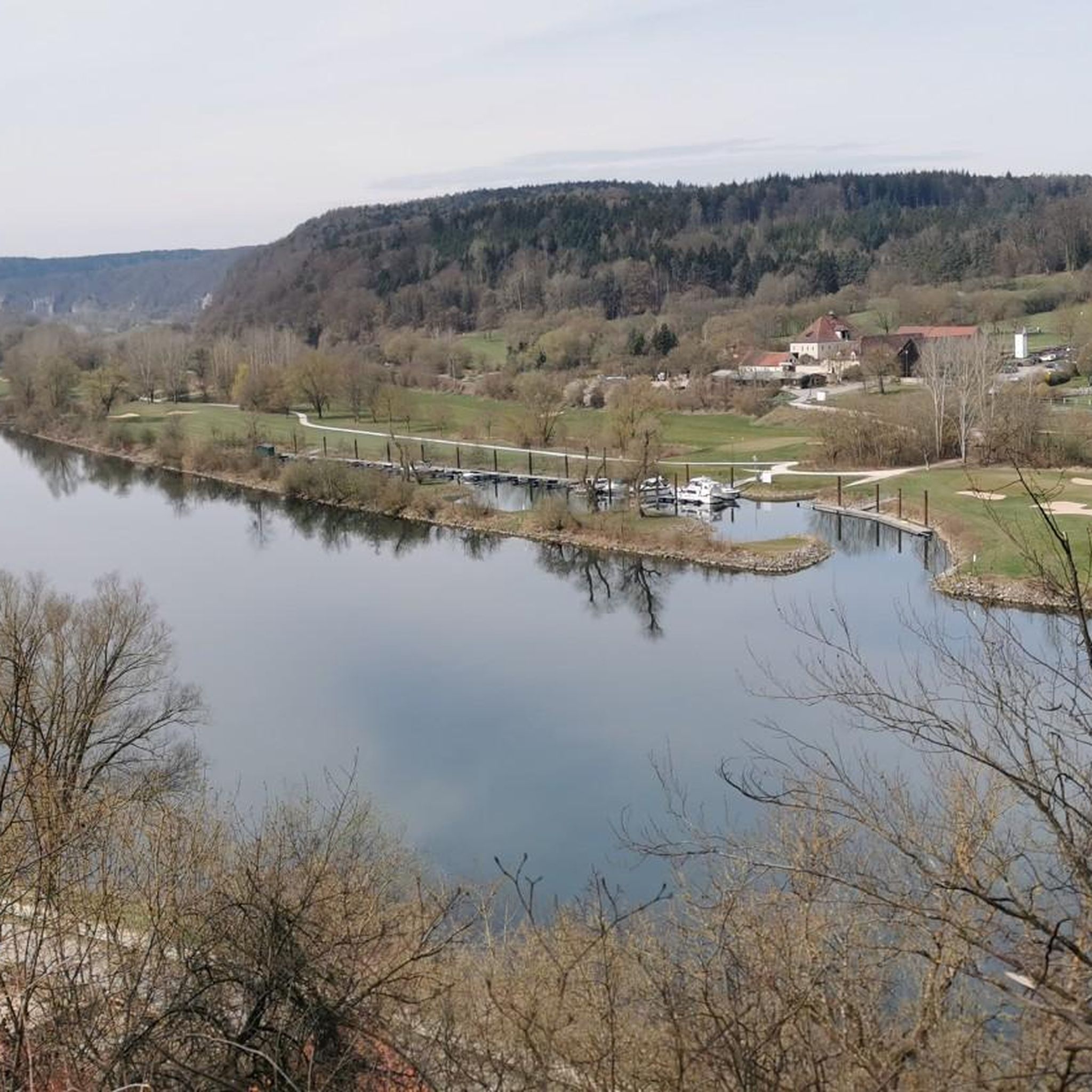
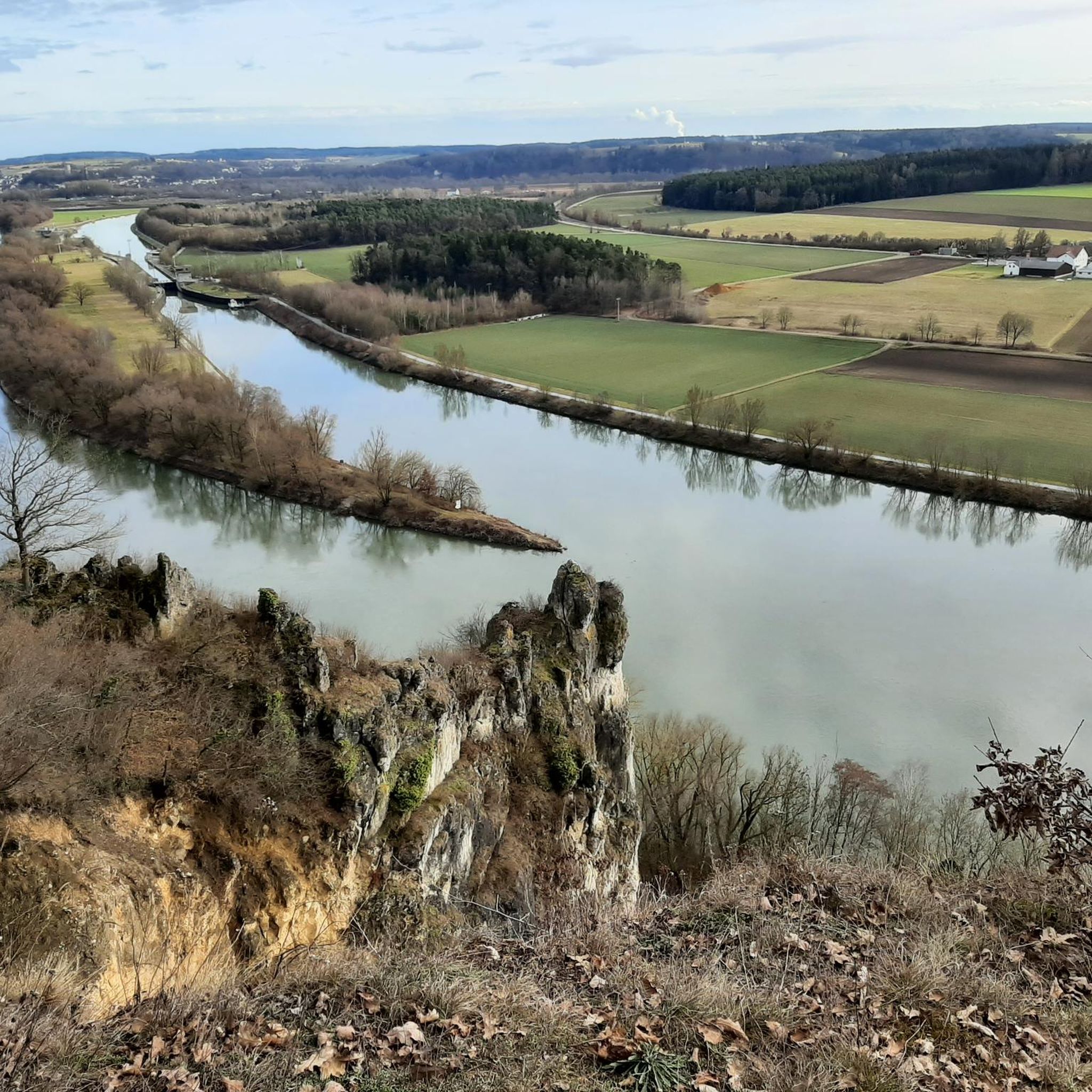
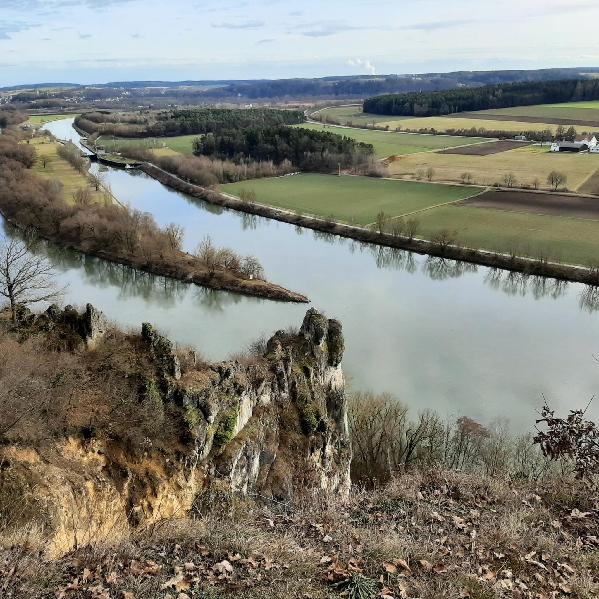
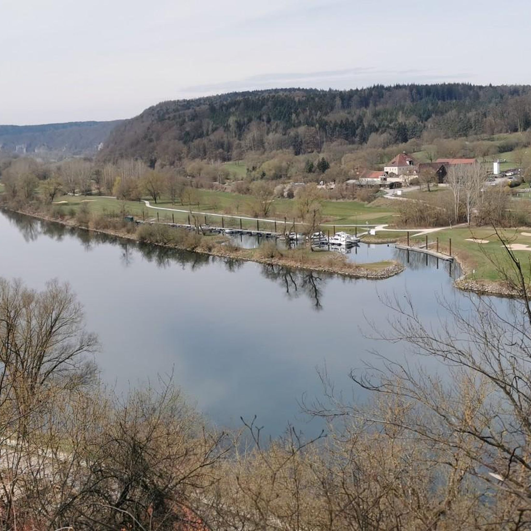
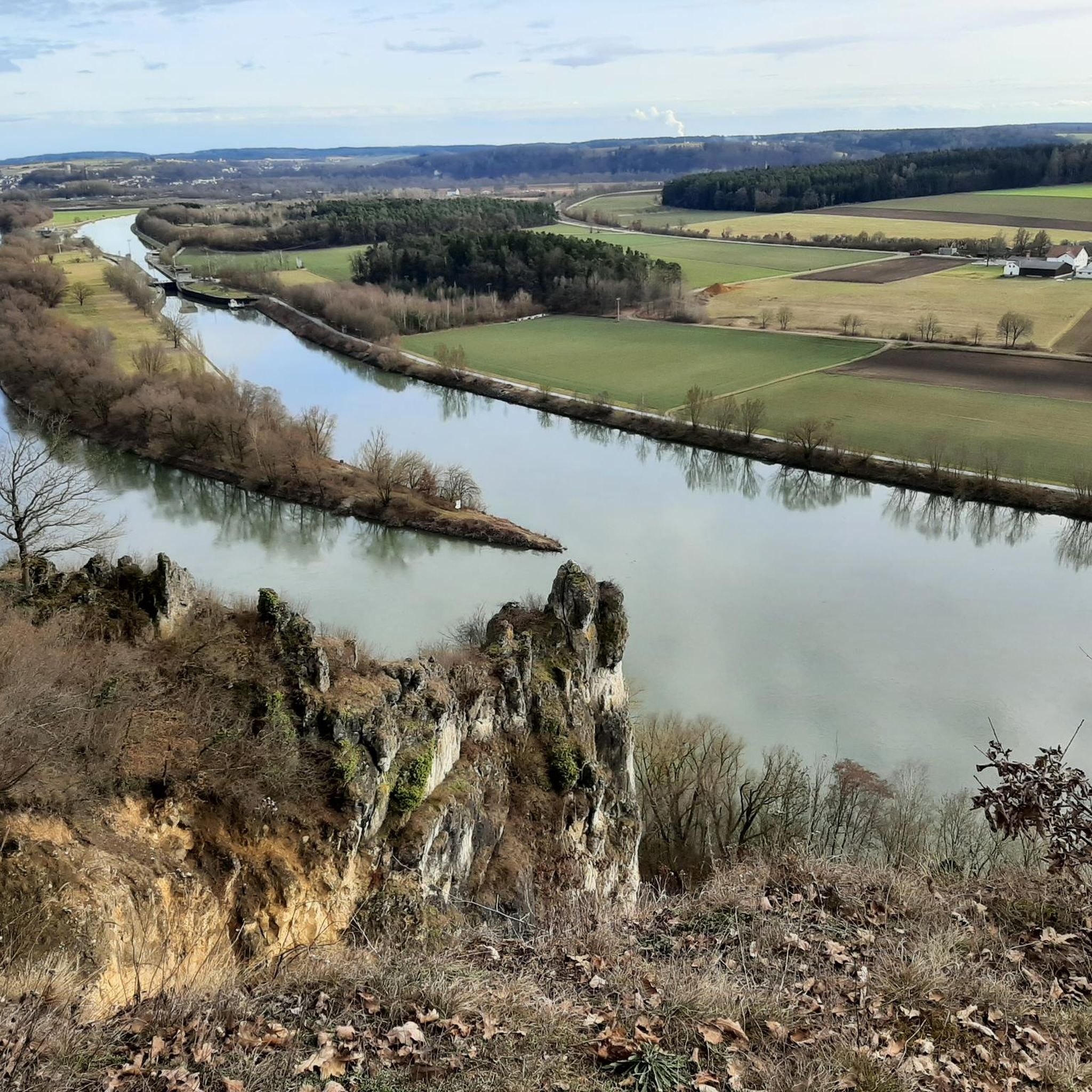
A magnificent view of the Danube Valley and all the way to Regensburg. There's also an overview map and information panels with many explanations about the flora and fauna along the Geotrail.
4
0

The Höhlenburg Loch > a geotope The Höhlenburg Loch is one of only two cave castles in Bavaria (the second is in Stein an der Traun in Upper Bavaria). The lower, flatter part of the castle complex lies in slab dolomites belonging to the Velburg Horizon. The steep wall, at the base of which the (residential) caves appear, is formed by mass dolomites of the Middle Franconian Alb Formation. Bavarian State Office for the Environment (LfU). https://www.umweltatlas.bayern.de/standortauskunft/rest/reporting/sb_geotope/generate?additionallayerfieldvalue=375A026
1
0

A wonderful view here.
3
0
Frequently Asked Questions
How many mountaineering routes are available around Pentling?
There are 5 mountaineering routes documented around Pentling on komoot, offering a range of experiences from easy ascents to more challenging, longer routes. These routes explore river valleys, dense woodlands, and limestone rock formations characteristic of the region.
Are there any easy mountaineering routes suitable for beginners in Pentling?
Yes, Pentling offers a couple of easier routes perfect for beginners or those looking for a less strenuous experience. Consider the Flowing trail – Dynamite Trail at Keilstein loop from Tegernheim, which is 3.6 km long, or the Frauenhäusl forest restaurant – Etzenberg loop from Frauenhäusl, a 4.1 km route.
What are some challenging mountaineering routes near Pentling?
For those seeking a challenge, Pentling offers routes with significant elevation gain and varied terrain. The Jurasteig Forest Trail – View of the Naab Valley loop from Etterzhausen is a difficult 19.5 km trail with substantial elevation gain through forest paths. Another difficult option is the Labertal Wall, Schönhofen – Loch Cave Castle Ruins loop from Nittendorf, which is 7.0 km and explores rock formations and historical ruins.
Are there any circular mountaineering routes in the Pentling area?
Yes, many of the mountaineering routes around Pentling are designed as loops, allowing you to start and end at the same point. Examples include the Jurasteig Forest Trail – View of the Naab Valley loop from Etterzhausen and the Fellinger Berg – Marien Chapel in the dense forest loop from Tegernheim.
What kind of natural landmarks or viewpoints can I expect to see along these routes?
The routes around Pentling offer diverse natural features. You can expect views of the Naab Valley, river valleys, dense forests, and impressive limestone rock formations, especially in areas bordering the Altmühltal Nature Park and Bavarian Jura. Some routes, like the Labertal Wall, Schönhofen – Loch Cave Castle Ruins loop from Nittendorf, pass by historical ruins such as the Loch Cave Castle Ruins.
What is the best time of year for mountaineering around Pentling?
Pentling's varied terrain, with its river valleys and forests, makes it suitable for mountaineering for much of the year. Spring and autumn offer pleasant temperatures and vibrant scenery. While winter sports like skiing are available nearby, technical mountaineering is not a primary activity in Pentling itself, which focuses more on strenuous hikes in hilly terrain.
Are there any interesting attractions or points of interest near the mountaineering routes?
Absolutely! The region around Pentling is rich in natural and historical attractions. You can explore various lakes like Guggenberger Lake or Neutraublinger Lake. There are also fascinating caves and ruins, including Schutzfels Pentling and the Robber's Cave. The Grotto Chapel in the Rock (Mattinger Hänge) also offers a unique historical and natural experience.
What do other mountaineers say about the routes in Pentling?
The mountaineering routes in Pentling are highly rated by the komoot community, with an average score of 3.0 stars from over 1 review. Users often appreciate the varied terrain, from dense forest paths to routes with views of river valleys and rock formations.
Is Pentling a good base for rock climbing?
While Pentling itself doesn't offer high-alpine mountaineering, its strategic location provides excellent access to renowned rock climbing areas. The nearby Altmühltal Nature Park and the broader Bavarian Jura are known for their extensive crags and diverse sport climbing routes on limestone, suitable for various skill levels. The famous Frankenjura, a major climbing hotspot, is also within reach.
Are there any routes that pass by historical sites or ruins?
Yes, some routes incorporate historical elements. For instance, the Labertal Wall, Schönhofen – Loch Cave Castle Ruins loop from Nittendorf specifically passes by the Loch Cave Castle Ruins, offering a blend of natural beauty and historical exploration.
What kind of terrain can I expect on mountaineering routes around Pentling?
The terrain around Pentling is diverse, characterized by river valleys, dense woodlands, and limestone rock formations. You'll encounter forest paths, ascents in hilly landscapes, and areas with impressive rock features, providing a varied and engaging experience for mountaineers.
Most popular routes around Pentling
Most popular attractions around Pentling

Get inspired with the komoot mobile app


Explore more
Browse the best Mountain Hikes & Routes in other regions.
