The best mountain hikes around Pettendorf
3.0
(1)
8
hikers
2
hikes
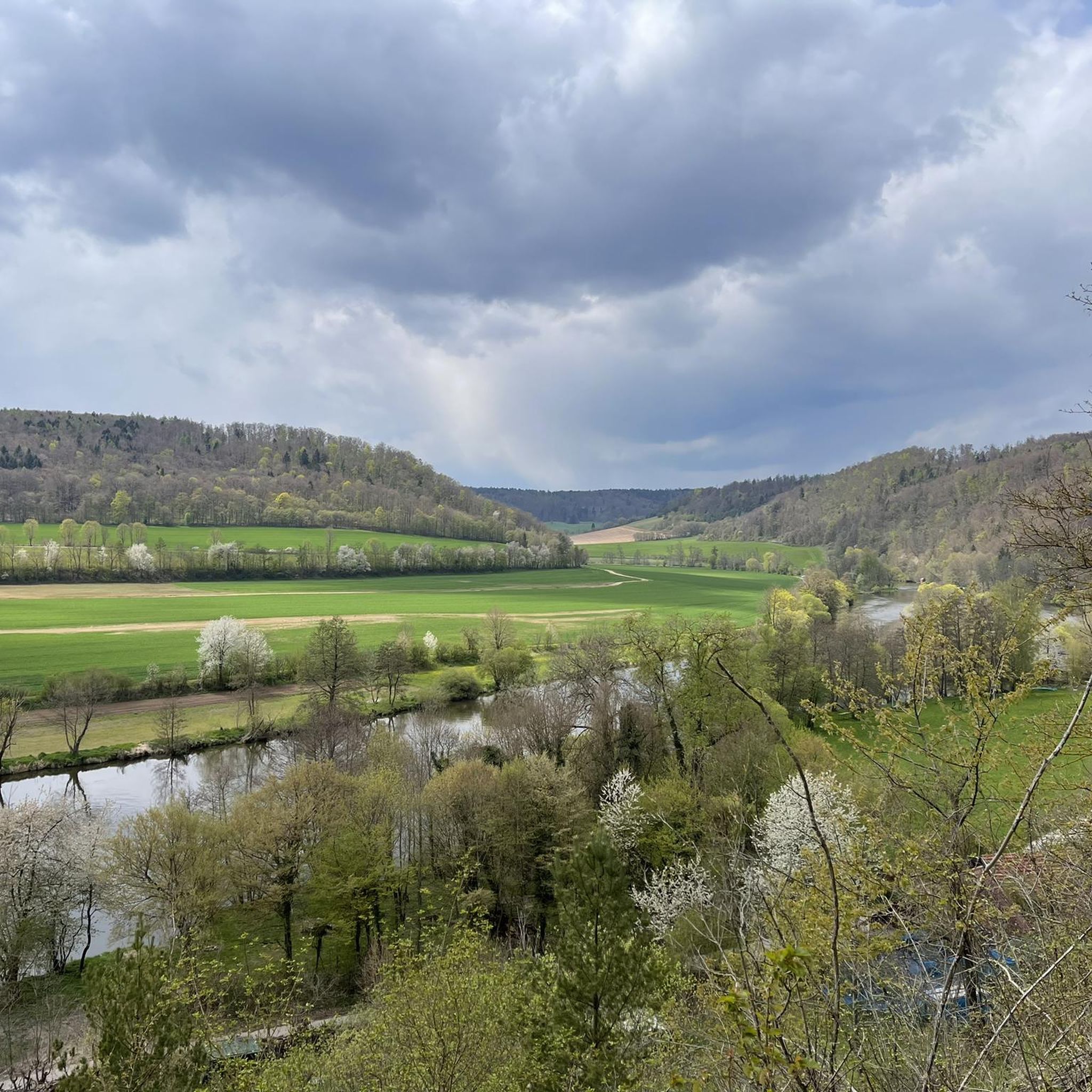
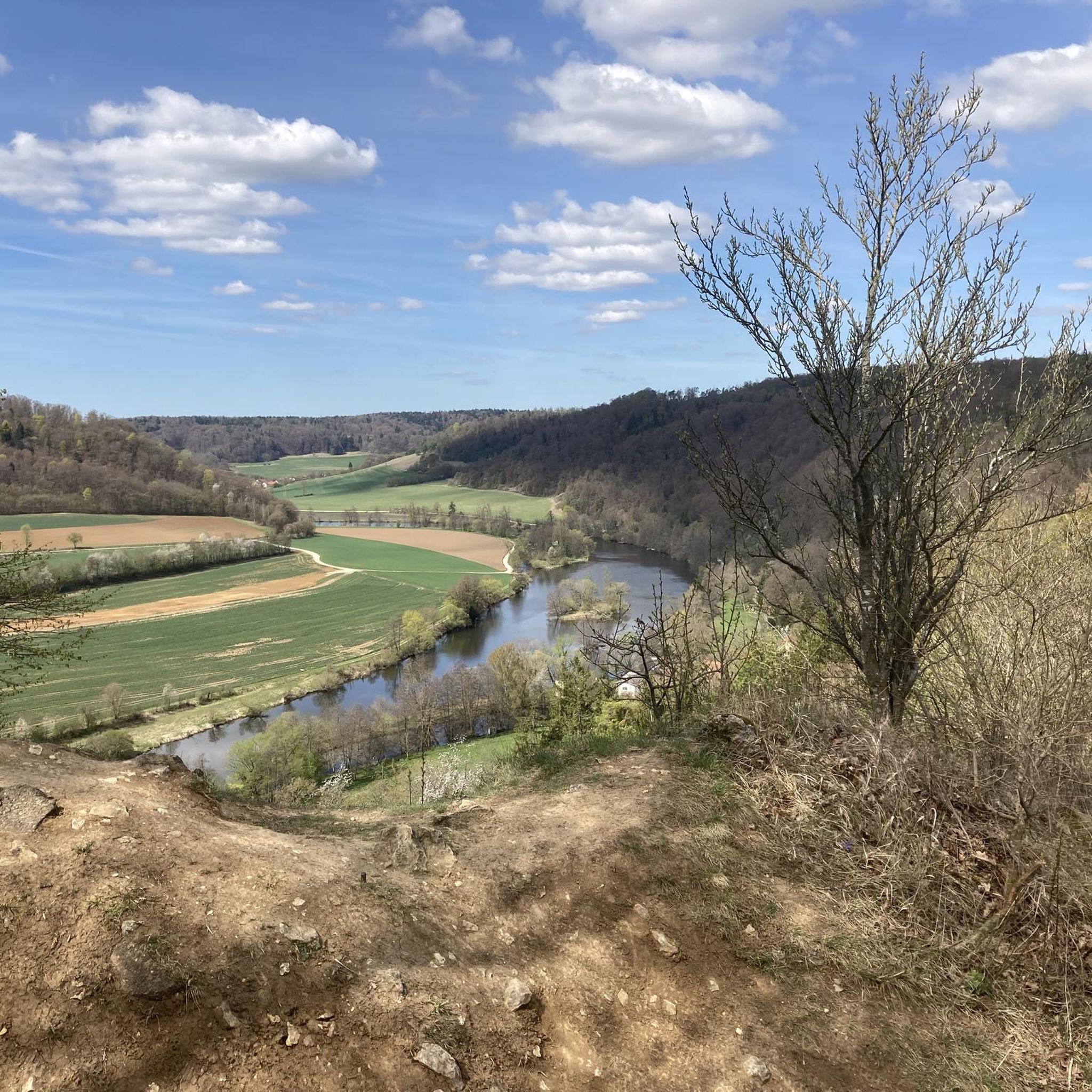
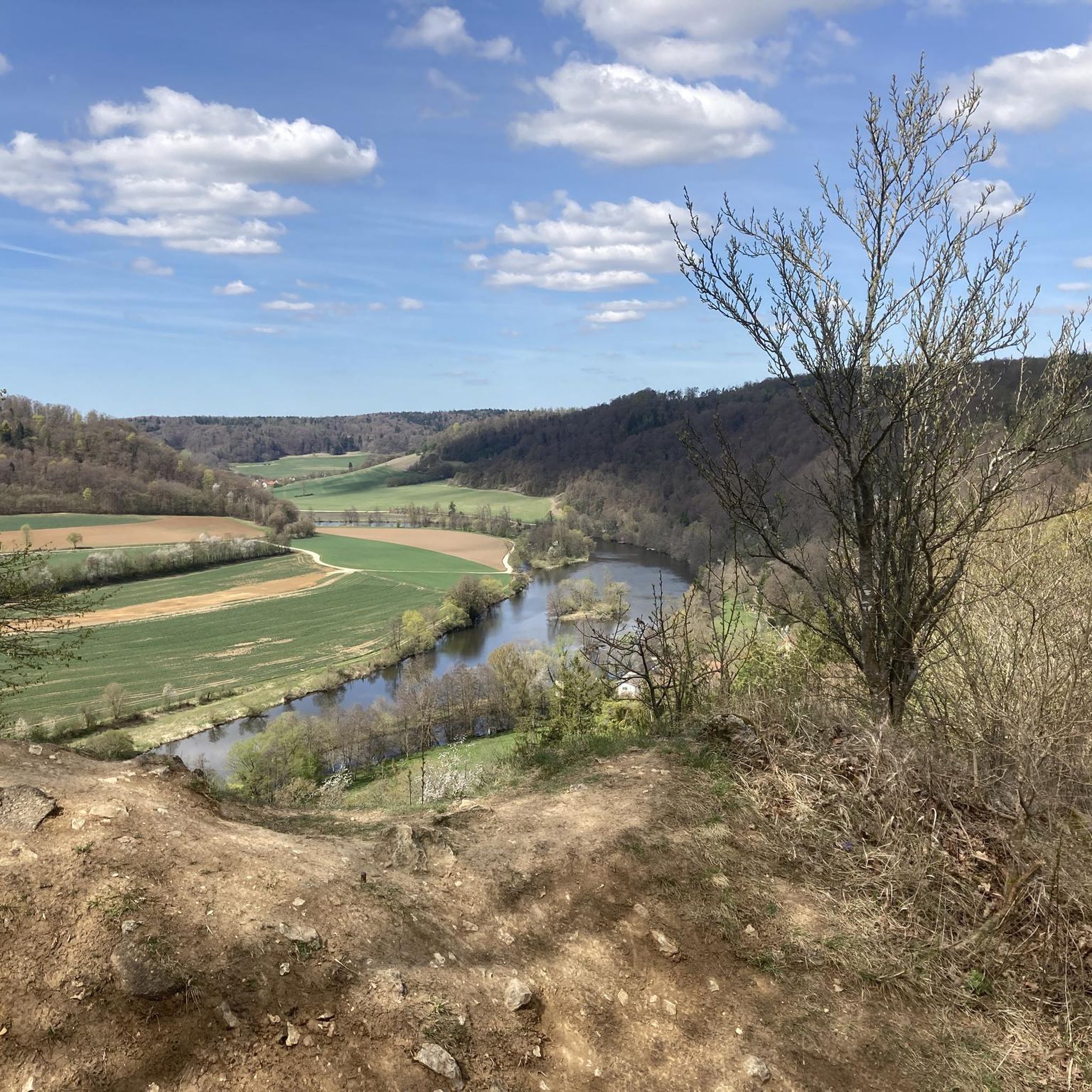
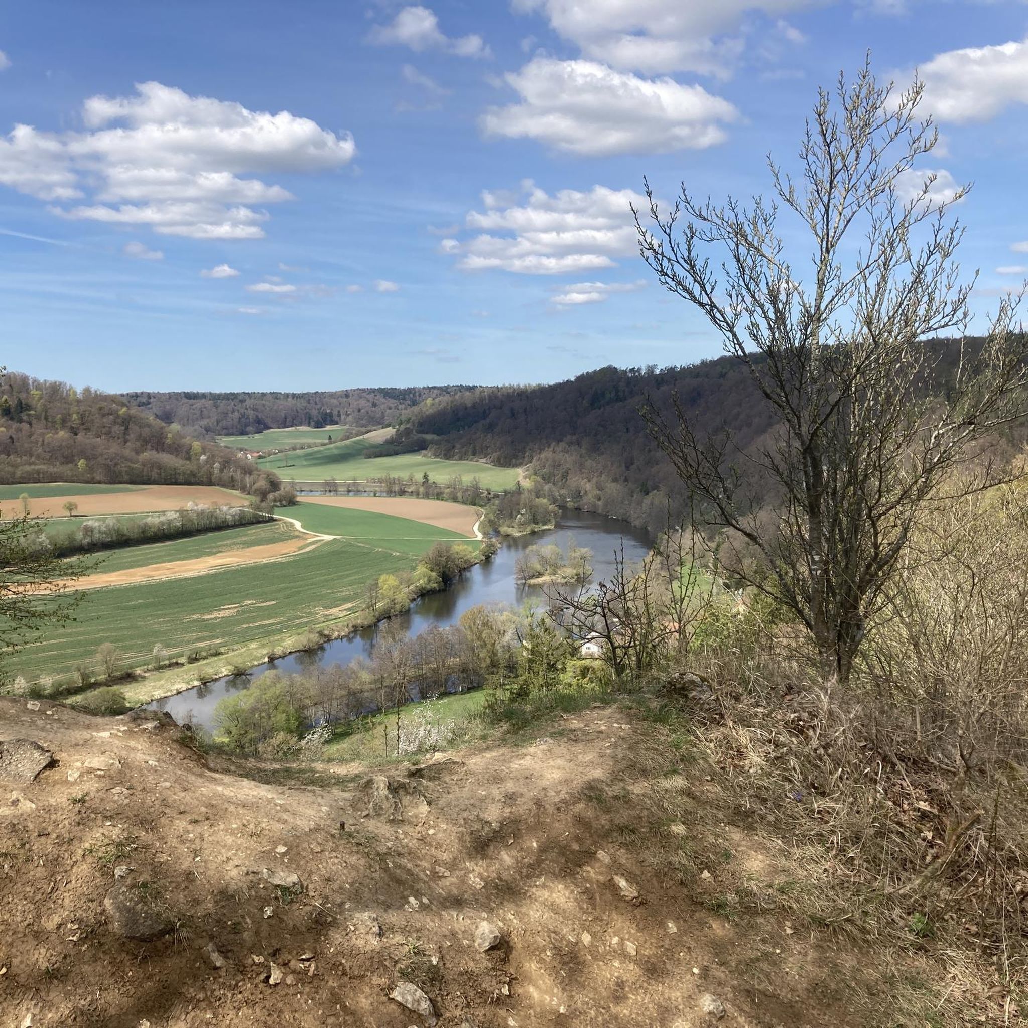
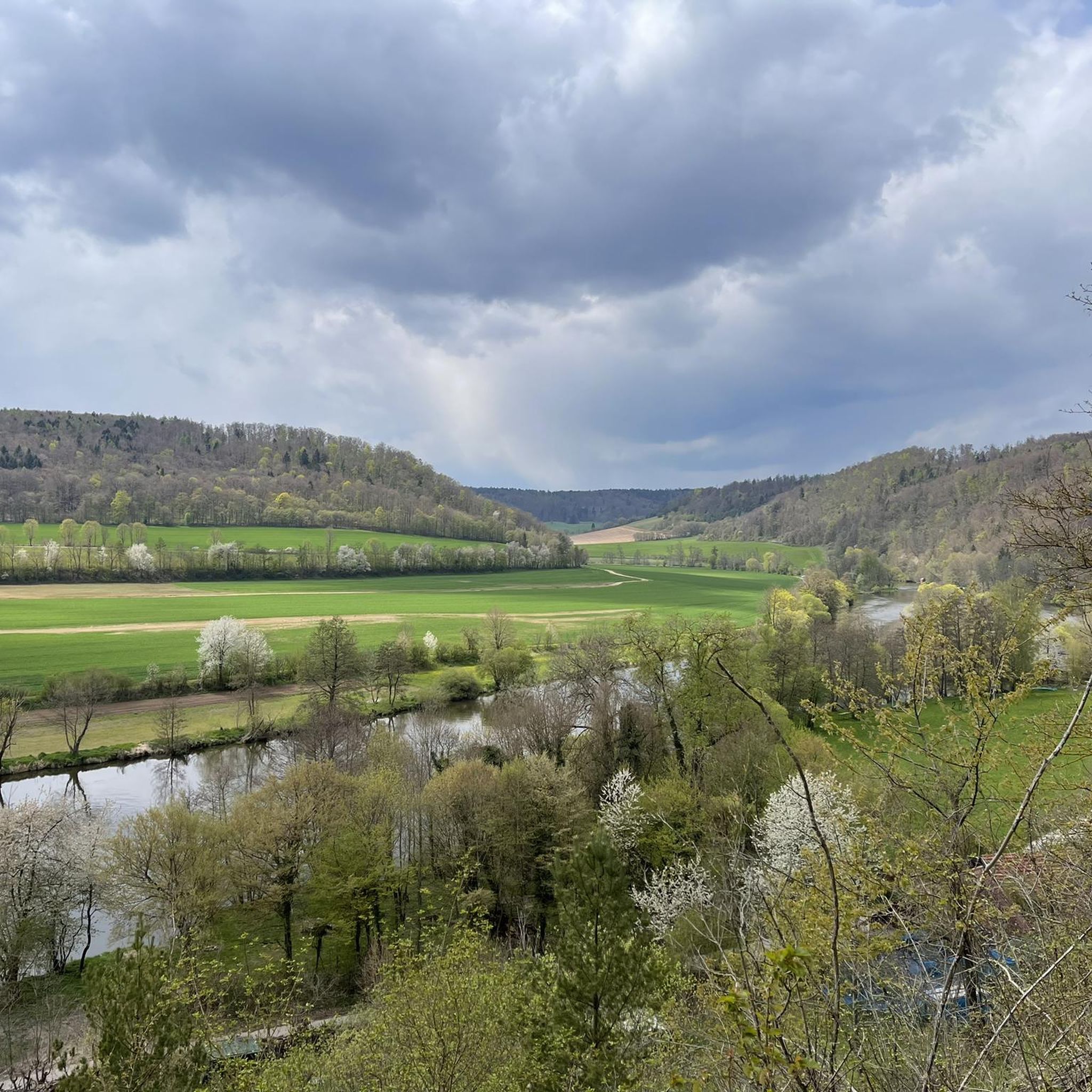
Mountaineering routes around Pettendorf are characterized by a diverse landscape featuring dense woodlands, river valleys, and geological formations. The region offers varied terrain, from the expansive views of the Naab Valley to the secluded paths within deep forests. Elevations are moderate, providing accessible challenges for mountaineers.
Best mountaineering routes around Pettendorf
- The most popular mountaineering route is Jurasteig Forest Trail – View of the Naab Valley loop from Etterzhausen, a 12.1 miles (19.5 km) difficult trail that takes about…
Last updated: July 16, 2026
3
hikers
19.5km
05:44
480m
480m
Hard mountaineering route. Very good fitness required. Mostly accessible paths. Sure-footedness required.
3.0
(1)
2
hikers
6.91km
02:04
210m
210m
Moderate mountaineering route. Good fitness required. Easily-accessible paths. Suitable for all skill levels.

Sign up for free
2
hikers
3.65km
01:05
110m
110m
Easy mountaineering route. Great for any fitness level. Easily-accessible paths. Suitable for all skill levels.
1
hikers
7.04km
01:57
120m
120m
Hard mountaineering route. Great for any fitness level. Sure-footedness, sturdy shoes and alpine experience required.
Our route recommendations are based on thousands of hikes, rides, and runs completed by other people on komoot.
Start today with a free account
Your next adventure awaits.
Login or Signup
Tips from the Community

Hidden behind bushes & hedges... a real lost place!
3
0

Feel free to drag your brakes here! *fg*
0
0

A magnificent view of the Danube Valley and all the way to Regensburg. The geotrail also features an overview map and information panels with many explanations about the flora and fauna.
4
0
A magnificent view of the Danube Valley and all the way to Regensburg. There's also an overview map and information panels with many explanations about the flora and fauna along the Geotrail.
4
0

The Höhlenburg Loch > a geotope The Höhlenburg Loch is one of only two cave castles in Bavaria (the second is in Stein an der Traun in Upper Bavaria). The lower, flatter part of the castle complex lies in slab dolomites belonging to the Velburg Horizon. The steep wall, at the base of which the (residential) caves appear, is formed by mass dolomites of the Middle Franconian Alb Formation. Bavarian State Office for the Environment (LfU). https://www.umweltatlas.bayern.de/standortauskunft/rest/reporting/sb_geotope/generate?additionallayerfieldvalue=375A026
1
0

A wonderful view here.
3
0

A very beautiful landscape
2
0

With a great beer garden, delicious food and fast and good service
1
0
Frequently Asked Questions
Are there any easy mountaineering routes suitable for beginners in Pettendorf?
Yes, for those new to mountaineering, the Flowing trail – Dynamite Trail at Keilstein loop from Tegernheim offers an accessible option. This route is approximately 3.6 miles (5.8 km) long and takes about an hour to complete, providing a gentle introduction to the region's trails.
What are the typical lengths and durations of mountaineering routes around Pettendorf?
Mountaineering routes in Pettendorf vary in length and duration. You can find shorter trails like the Fellinger Berg – Marien Chapel in the dense forest loop from Tegernheim, which is about 4.3 miles (6.9 km) and takes around 2 hours. For a longer challenge, consider the Jurasteig Forest Trail – View of the Naab Valley loop from Etterzhausen, spanning 12.1 miles (19.5 km) and typically requiring over 5 hours to complete.
Are there family-friendly mountaineering options in Pettendorf?
While many routes offer varied terrain, the Flowing trail – Dynamite Trail at Keilstein loop from Tegernheim is a good choice for families due to its shorter distance and easier difficulty. It's a great way to enjoy the outdoors together without an overly strenuous climb.
Can I bring my dog on the mountaineering routes in Pettendorf?
Many of the natural trails around Pettendorf are suitable for dogs, provided they are kept on a leash and you adhere to local regulations regarding wildlife and livestock. Always ensure your dog is well-behaved and that you carry waste bags to keep the trails clean for everyone.
What is the best season for mountaineering in Pettendorf?
The best seasons for mountaineering in Pettendorf are generally spring, summer, and autumn. During these times, the weather is more predictable, and the trails are usually clear. Spring brings lush greenery, summer offers warm days, and autumn provides beautiful foliage. Winter mountaineering is possible but requires appropriate gear and caution due to potential snow and ice.
Are there any circular mountaineering routes available in Pettendorf?
Yes, all the highlighted mountaineering routes in Pettendorf are designed as loops, allowing you to start and end at the same point. This includes trails like the Labertal Wall, Schönhofen – Loch Cave Castle Ruins loop from Nittendorf, which offers a circular journey through forests and past historical ruins.
What kind of views or natural features can I expect on these routes?
The mountaineering routes in Pettendorf offer diverse scenery. You can expect expansive views of the Naab Valley, dense woodlands, and geological formations. For example, the Jurasteig Forest Trail – View of the Naab Valley loop from Etterzhausen is particularly known for its panoramic valley vistas.
Are there any historical sites or points of interest along the mountaineering routes?
Yes, some routes incorporate historical elements. The Labertal Wall, Schönhofen – Loch Cave Castle Ruins loop from Nittendorf, for instance, takes you past the Loch Cave Castle Ruins, offering a glimpse into the region's past. Additionally, the Fellinger Berg – Marien Chapel in the dense forest loop from Tegernheim leads past a charming chapel.
What do other mountaineers say about the trails in Pettendorf?
The komoot community appreciates the varied terrain and natural beauty of Pettendorf's mountaineering routes. More than 8 mountaineers have used komoot to explore the area, often highlighting the peaceful forest paths and scenic viewpoints.
Are there any hidden gems or less-trafficked routes for a quieter experience?
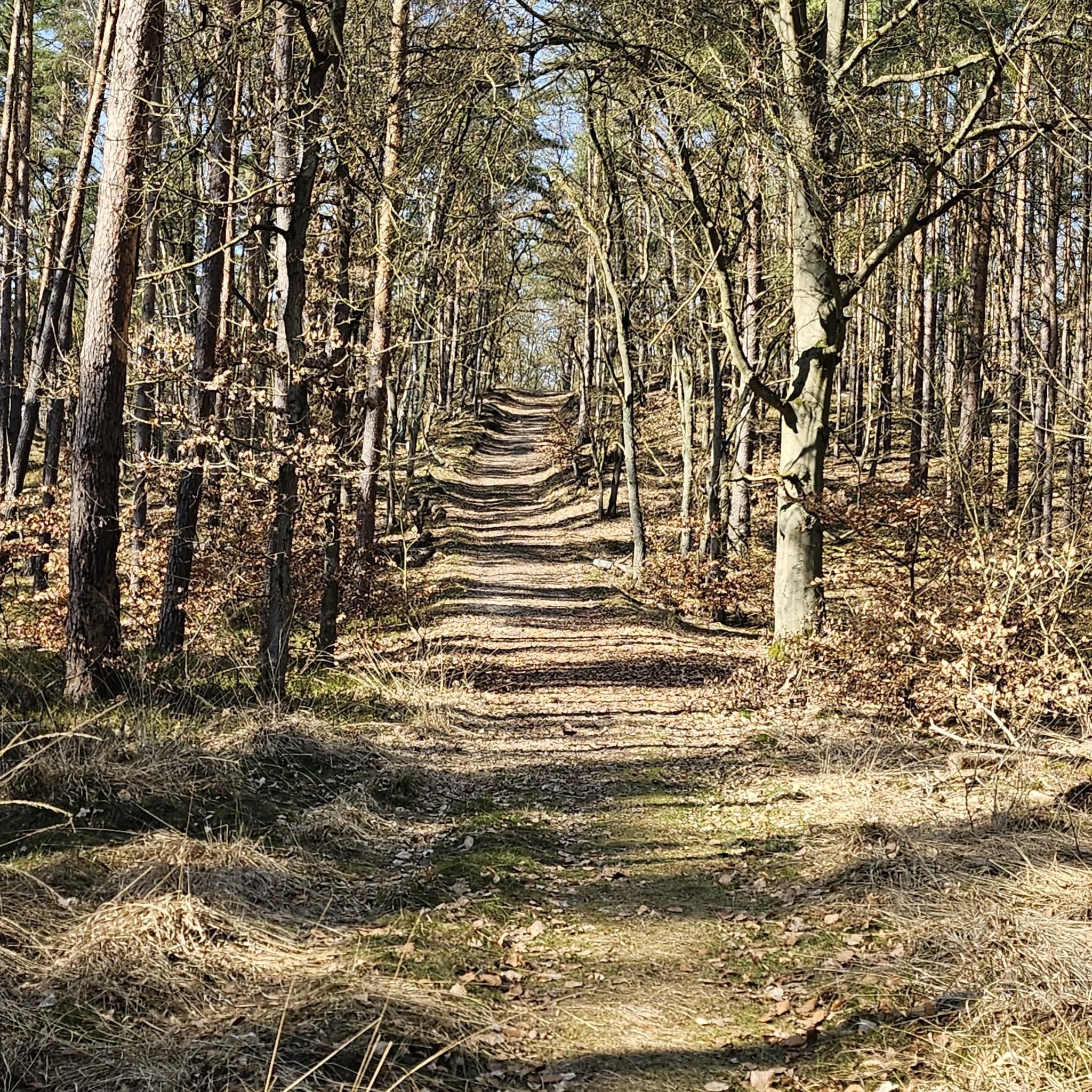
For a potentially quieter experience, consider exploring routes that delve deeper into the dense woodlands. The Fellinger Berg – Marien Chapel in the dense forest loop from Tegernheim, for example, winds through a dense forest, offering a serene escape.
What should I know about parking when planning a mountaineering trip in Pettendorf?
While specific parking details vary by trailhead, many starting points for mountaineering routes in Pettendorf are accessible by car. It's advisable to check the individual route descriptions on komoot for information on designated parking areas or nearby public parking options before you set out.
Most popular routes around Pettendorf
Most popular attractions around Pettendorf

Get inspired with the komoot mobile app


Explore more
Browse the best Mountain Hikes & Routes in other regions.
