The best running trails in Storlidalen
7
runners
1
run
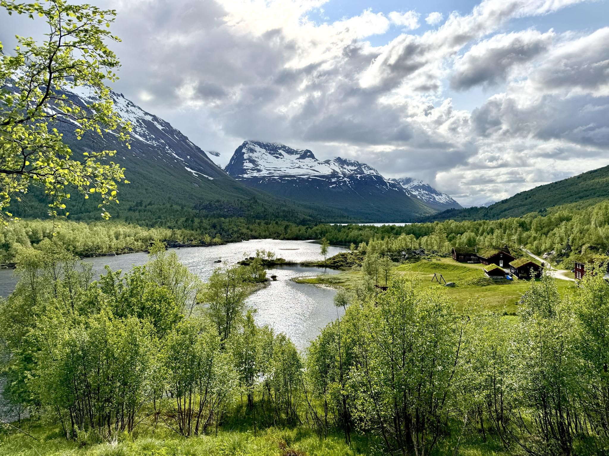
Jogging routes in Storlidalen traverse a vibrant mountain valley in Oppdal, Norway, characterized by impressive peaks and varied terrain. The region is nestled amidst mountains like Neådalssnota and Kråkvasstind, offering a dramatic backdrop for running. Runners can explore paths alongside Tovatna lake and through diverse landscapes that include both open spaces and areas suggesting forest trails. The valley provides a range of elevation gains, from gentle paths to more strenuous climbs, catering to different fitness levels.
Best jogging routes in…
Last updated: July 6, 2026
2
runners
6.38km
00:45
100m
100m
Moderate run. Good fitness required. Mostly paved surfaces. Suitable for all skill levels.
3
runners
10.6km
01:17
360m
360m
Hard run. Very good fitness required. Mostly paved surfaces. Suitable for all skill levels.

Sign up for free
2
runners
11.5km
01:22
380m
370m
Hard run. Very good fitness required. Mostly paved surfaces. Suitable for all skill levels.
Our route recommendations are based on thousands of hikes, rides, and runs completed by other people on komoot.
Start today with a free account
Your next adventure awaits.
Login or Signup
Other adventures in Storlidalen

Tips from the Community

Gjevilvasshytta’s got that old-school charm – basic rooms, big views, and loads of character.
0
0

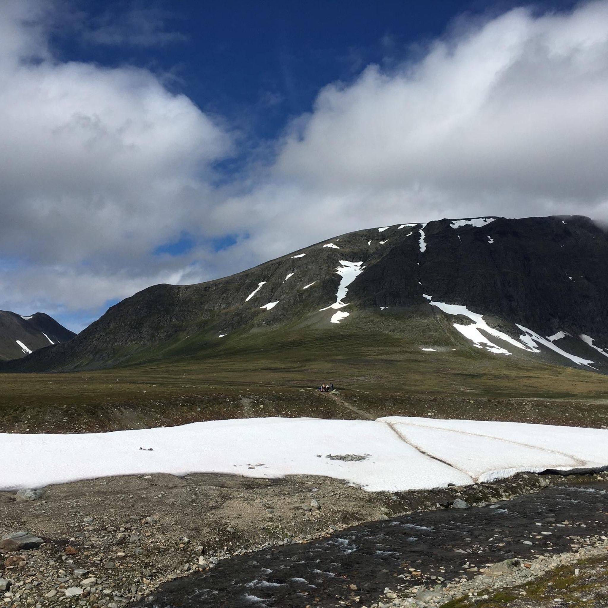
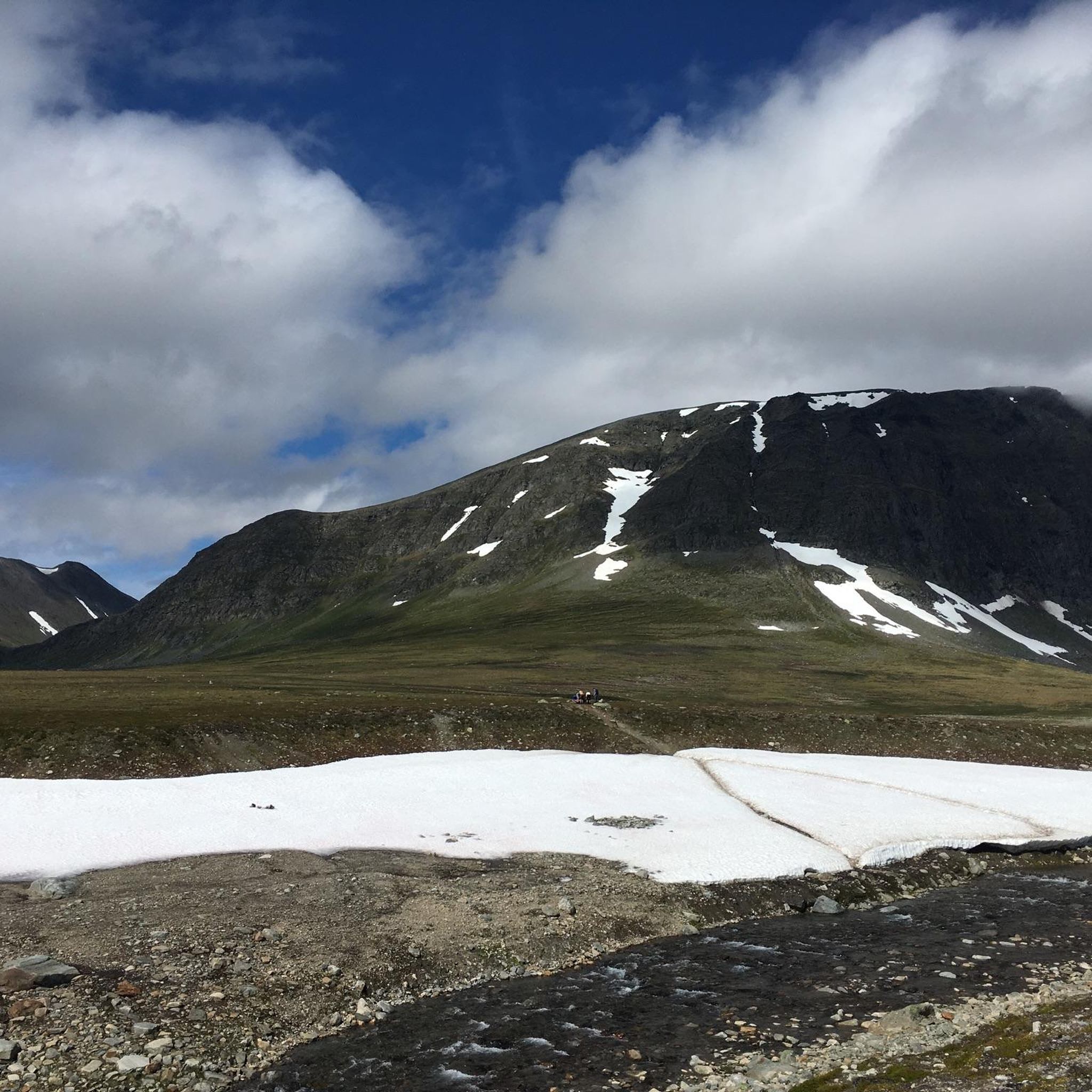
As soon as you reach the treeline, the view opens up over the plain, with the sunken stream winding through it and the surrounding mountain panorama—dominated by Blåhøa, standing at 1,610 metres (5,282 ft).
1
0

Small peak with strong views all the way to Trollheimen National Park.
2
0
...varied with great views.
2
0
...every now and then passing beautiful huts with a view of the lake.
2
0
Easy to run downhill from the summit too.
2
0
Here in Osen you have the first opportunity to get to the lake from the valley.
2
0

One of the oldest cabins in Norway and also one of the most beautiful. The rooms are simply furnished. Dinner is not to be missed. There (as in many other staffed cabins) are excellent Norwegian dishes. The cabin's age comes at a price: leaving your cell phone unattended or charging it overnight is a fire hazard.
1
0
Frequently Asked Questions
How many running routes are available in Storlidalen?
Komoot features several running routes in Storlidalen, offering a variety of experiences. Currently, there are over 4 routes documented, ranging from moderate to difficult, ensuring options for different fitness levels.
What kind of terrain can I expect on the running trails in Storlidalen?
Storlidalen offers a diverse landscape for runners. You'll find routes traversing a vibrant mountain valley, nestled amidst impressive peaks like Neådalssnota and Kråkvasstind. Expect varied terrain, including paths alongside Tovatna lake, forest singletracks, and open spaces with expansive mountain views. The elevation can range from gentle paths to more challenging climbs.
Are there any easy running routes suitable for beginners in Storlidalen?
While Storlidalen is known for its mountainous terrain, there are options for various fitness levels. The valley offers paths with moderate elevation changes, suitable for those looking for a less strenuous run. For example, the DNT Gjevilvasshytta – Path along the Gravbekken loop from Raudørodden is a moderate 4.0-mile (6.5 km) trail that follows a scenic path.
Are there any circular running routes in Storlidalen?
Yes, many of the running routes in Storlidalen are designed as loops, allowing you to start and finish at the same point. For instance, the popular DNT Gjevilvasshytta – Path along the Gravbekken loop from Raudørodden is a scenic circular trail. Another option is the challenging Blåhøa loop from Røstbekken, which offers significant elevation gain.
What are some notable natural features or landmarks I might see while running in Storlidalen?
Storlidalen is rich in natural beauty. Runners can enjoy majestic mountain backdrops, including peaks like Neådalssnota and Kråkvasstind. You'll also find serene lake views, particularly along Tovatna lake, and picturesque spots with waterfalls along some routes. The valley is part of the larger Trollheimen and Innerdalen protected landscapes, known for their stunning nature.
Are there any challenging running trails for experienced runners in Storlidalen?
Absolutely. Storlidalen offers several demanding routes for experienced runners. The Blåhøa loop from Røstbekken is a difficult 13.8-mile (22.1 km) path with significant elevation gain, leading through mountainous terrain. Another challenging option is the Harbor at Gjevillvatnet – Forest Singletrack Trail loop from Svinsnøssa, a 6.6-mile (10.6 km) trail with considerable ascent.
What do other runners enjoy most about jogging in Storlidalen?
Runners using komoot to explore Storlidalen often praise the region's varied terrain and stunning scenery. The combination of majestic mountain backdrops, serene lake views, and a network of well-trodden paths makes for an invigorating experience. Many appreciate the options available for different ability levels, from moderate paths to challenging mountain ascents.
Are there any running routes that go through forests or offer shade?
Yes, Storlidalen's diverse landscape includes forested areas. The Harbor at Gjevillvatnet – Forest Singletrack Trail loop from Svinsnøssa is a great example, leading through a forest singletrack near Gjevillvatnet, offering a different kind of running experience with natural shade.
Can I find running routes with good viewpoints in Storlidalen?
Given its mountainous setting, Storlidalen naturally offers numerous opportunities for stunning viewpoints. Routes often provide expansive views of the surrounding peaks like Neådalssnota and Kråkvasstind, as well as panoramic vistas of the valley and lakes. The varied elevation ensures that many trails lead to rewarding scenic overlooks.
Are there accommodations or facilities near the running trails in Storlidalen?
Yes, Storlidalen offers several accommodations that can serve as convenient starting points or places to rest. Places like Baardsgarden, Storli Gard, and Bortistu Mountain Farm provide lodging, and some may offer facilities such as showers and toilets. Bårdsgarden, a traditional mountain farm, is noted as an ideal starting point for marked trails into Trollheimen.
What is the longest running route available in Storlidalen?
For those seeking a longer challenge, the Blåhøa loop from Røstbekken is the longest route listed, covering 13.8 miles (22.1 km). This difficult trail involves significant elevation gain and typically takes around 4 hours to complete.
Are there any running routes near Gjevillvatnet lake?
Yes, Gjevillvatnet is a prominent feature in the region with routes nearby. The Harbor at Gjevillvatnet – Forest Singletrack Trail loop from Svinsnøssa is a popular option that takes you through a forest singletrack close to the lake. Another route in the vicinity is the Harbor at Gjevillvatnet – Rauhovdin (972 m) loop from Festa.

Get inspired with the komoot mobile app


Explore more
Browse the best Running Trails & Routes in other regions.
