
The best walks and hikes in Donato Guerra
4.2
(7)
170
hikers
7
hikes
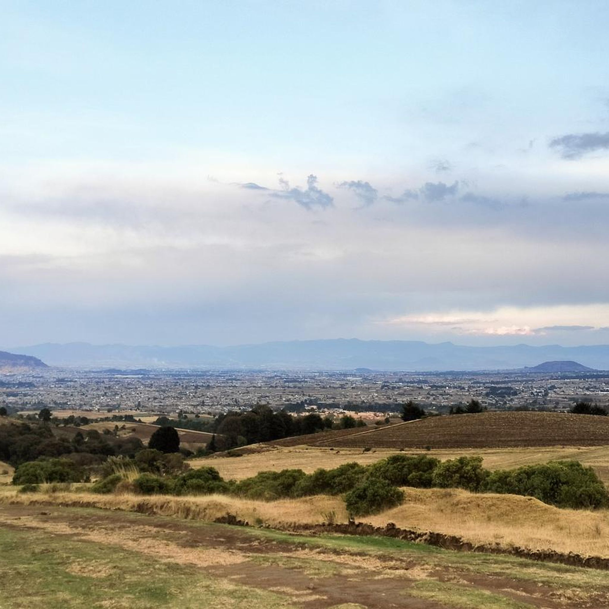
Hiking in Donato Guerra offers diverse terrain within the Sierra Mil Cumbres, part of the Transversal Volcanic Sierra. The region features mountains reaching over 3,000 meters above sea level and extensive forest cover, including pine, cedar, and oak. Hikers can explore dense woodlands, discover waterfalls, and experience ecosystems ranging from mountainous to tropical.
Best hiking trails in Donato Guerra
- The most popular hiking route is Despegue Parapentes loop from Parque Estatal Monte Alto, a 3.9 miles (6.3 km) trail…
Last updated: July 9, 2026
3.0
(1)
58
hikers
6.29km
02:03
210m
210m
Moderate hike. Good fitness required. Mostly accessible paths. Sure-footedness required.
3.0
(1)
50
hikers
9.28km
02:54
240m
240m
Moderate hike. Good fitness required. Mostly accessible paths. Sure-footedness required.

Sign up for free
5.0
(2)
26
hikers
5.89km
01:56
210m
210m
Moderate hike. Great for any fitness level. Mostly accessible paths. Sure-footedness required.
5.0
(2)
8
hikers
9.50km
03:13
420m
420m
Moderate hike. Good fitness required. Mostly accessible paths. Sure-footedness required.
13
hikers
10.3km
03:29
300m
300m
Moderate hike. Good fitness required. Mostly accessible paths. Sure-footedness required.
Get access to more routes and recommendations from other explorers.
Sign up for free
Already have an account?
Our route recommendations are based on thousands of hikes, rides, and runs completed by other people on komoot.
Start today with a free account
Your next adventure awaits.
Login or Signup



Frequently Asked Questions
How many hiking trails are available in Donato Guerra?
Donato Guerra offers a selection of 7 hiking routes, primarily moderate in difficulty, allowing you to explore the diverse landscapes of the Sierra Mil Cumbres. These trails are highly rated by the komoot community, with an average score of 4.2 stars.
What kind of terrain can I expect on hikes in Donato Guerra?
You can expect varied terrain, from mountainous paths within the Sierra Mil Cumbres to dense forests covering nearly half of the region. These woodlands feature pine, cedar, eucalyptus, ash, weeping willow, and oak trees. The area also transitions to more tropical zones at its southern border, offering a diverse range of ecosystems.
Are there any circular hiking routes in Donato Guerra?
Yes, many of the trails in Donato Guerra are circular. For example, you can explore the Despegue Parapentes loop from Parque Estatal Monte Alto, a 6.3 km moderate route, or the longer Monte Alto loop from Los Hoyos, which spans 9.3 km through varied forest scenery.
What are the typical elevation gains on Donato Guerra trails?
The elevation gains on Donato Guerra trails vary, generally ranging from moderate to significant. For instance, the Monte Alto loop from Loma Bonita involves an ascent of over 300 meters, while the Monte Alto loop from Valle de Bravo features an elevation gain of over 440 meters, offering rewarding challenges for hikers.
What natural features or landmarks can I see while hiking in Donato Guerra?
Donato Guerra is rich in natural beauty. You can encounter extensive forests, stunning waterfalls like La Asunción and Salto de Chihuahua, and the San Simón de la Laguna lake. A significant highlight is the Monarch Butterfly Biosphere Reserve (Santuario El Capulín) on Cerro Pelón, where millions of monarch butterflies gather from November to March. Additionally, the Mirador del Donato offers impressive vistas from high mountains.
What is the best time of year to go hiking in Donato Guerra?
The region generally experiences a temperate sub-humid climate with summer rains. For a truly unique experience, consider hiking between November and March to witness the monarch butterflies at the El Capulín sanctuary. Winters can be cold, so be prepared for cooler temperatures during those months.
Are there any family-friendly hiking options in Donato Guerra?
While most routes are moderate, the diverse landscapes offer opportunities for families. The Salto de Chihuahua Ecotourism Park, for example, provides amenities like barbecue areas and swimming pools, making it suitable for family outings after a shorter walk. Always check the specific trail details for distance and elevation to ensure it matches your family's ability.
What do other hikers enjoy most about hiking in Donato Guerra?
The area is highly rated by the komoot community, with an average score of 4.2 stars. Reviewers often praise the region's dense forests, the varied mountainous terrain, and the opportunity to experience unique natural phenomena like the monarch butterfly migration. The tranquility and natural beauty are frequently highlighted.
Is public transport available to reach hiking trails in Donato Guerra?
Information on specific public transport routes directly to trailheads is limited. It is generally recommended to plan your journey to Donato Guerra by car for easier access to the various starting points of the hiking trails, especially those located within the more remote forest areas.
Are there opportunities for other outdoor activities besides hiking in Donato Guerra?
Yes, Donato Guerra is also well-suited for mountain biking and horseback riding, offering alternative ways to explore its natural beauty. Ecotourism parks like Salto de Chihuahua provide facilities for camping and recreation, and you can also engage in rural tourism to experience local life.
Where can I find parking for hiking trails in Donato Guerra?
Specific parking details for individual trailheads are not always explicitly listed. However, routes often start from areas like Parque Estatal Monte Alto or near communities such as Los Hoyos and Loma Bonita. It is advisable to check the starting points of your chosen route on komoot for potential parking information or inquire locally upon arrival.
Most popular routes in Donato Guerra

Get inspired with the komoot mobile app


Explore more
Browse the best Hikes in other regions.
