The best gravel rides in Valle Del Cauca
31
riders
3
rides
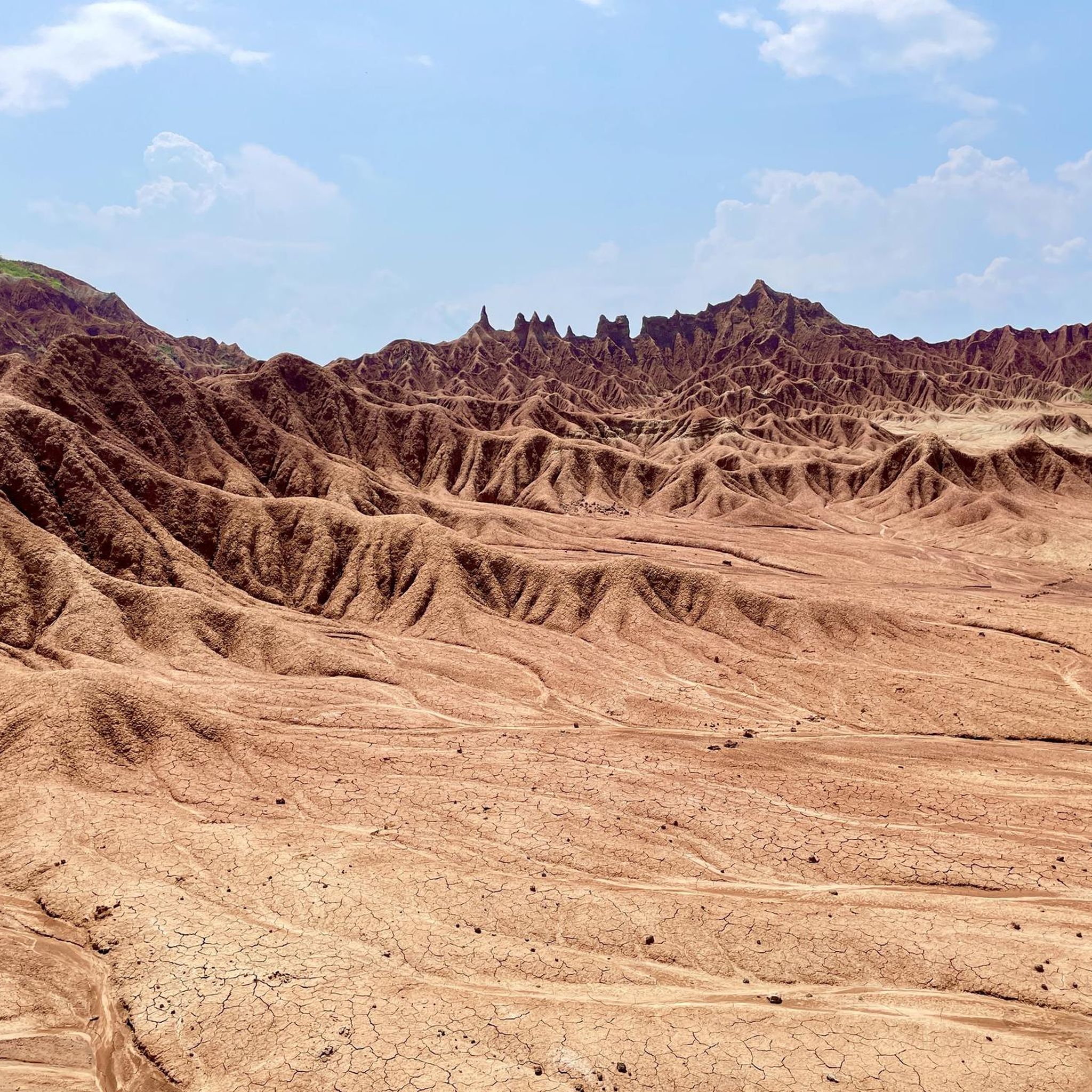
Gravel biking in Valle Del Cauca offers diverse terrain across its Andean mountain ranges, fertile valleys, and varied ecosystems. The region is characterized by the Cordilleras Occidental and Central, providing challenging ascents and descents through cloud forests and coffee-growing areas. The central Cauca Valley features expansive plains and agricultural lands, offering less technical paths. This geography creates a wide array of natural backdrops for gravel biking, from lush tropical forests to open agricultural landscapes.
Best gravel bike trails in Valle…
Last updated: August 31, 2026
20
riders
87.7km
06:09
1,600m
1,600m
Hard gravel ride. Very good fitness required. Mostly paved surfaces. Suitable for all skill levels.
7
riders
28.6km
02:22
640m
650m
Hard gravel ride. Very good fitness required. Mostly paved surfaces. Suitable for all skill levels.

Sign up for free
4
riders
41.8km
03:29
780m
780m
Hard gravel ride. Very good fitness required. Mostly paved surfaces. Suitable for all skill levels.
Our route recommendations are based on thousands of hikes, rides, and runs completed by other people on komoot.
Start today with a free account
Your next adventure awaits.
Login or Signup
Tips from the Community

An alternate climb to the main road to Montenegro, this one is largely paved, approximately 6.24 km long, and the climb is very good due to its gradient.
0
0

The height is hard in many parts of angle of more than 7 many large rocky pointed stones in the game looking where they are going to cross put on mtb knee pads and a good cap or balaclava very hot., 👍💪👍👏🫵Maximum In The Mountain
0
0
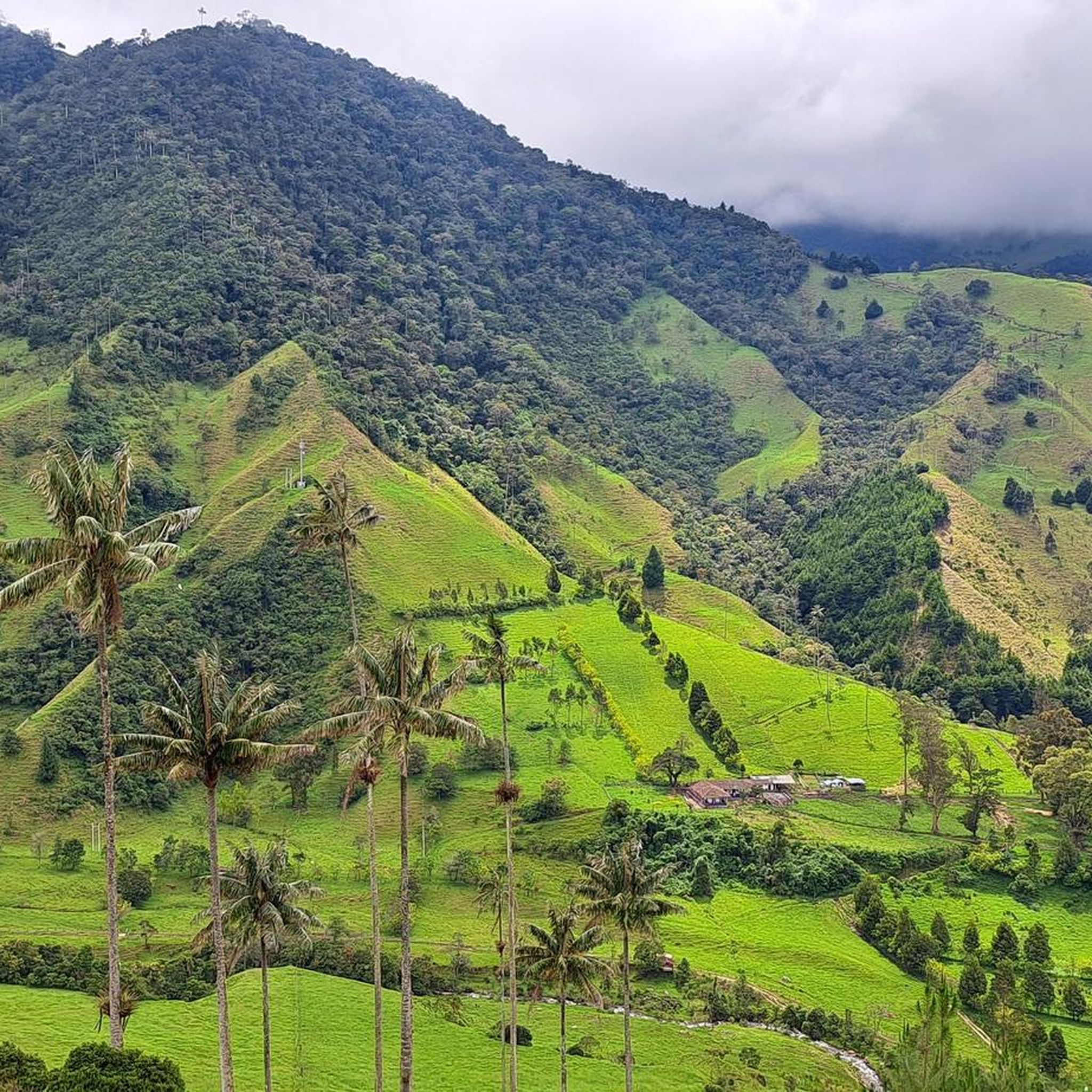
When you go up you will find this tourist farm, it is very pretty and from the viewpoint you can see Pereira and how the plain of the Cauca Valley begins and how the sun's rays illuminate our region, it is spectacular.
0
0
Section for MTB, it is a meeting point for two routes, one comes from Estanquillo and the other from Guadualito, and from there it goes to Altagracia
0
0
section for MTB, on an unpaved road with ascents and slopes, tied with Jazmín another nearby path, distance between both 1.72 km and 4.2% inclination
0
0
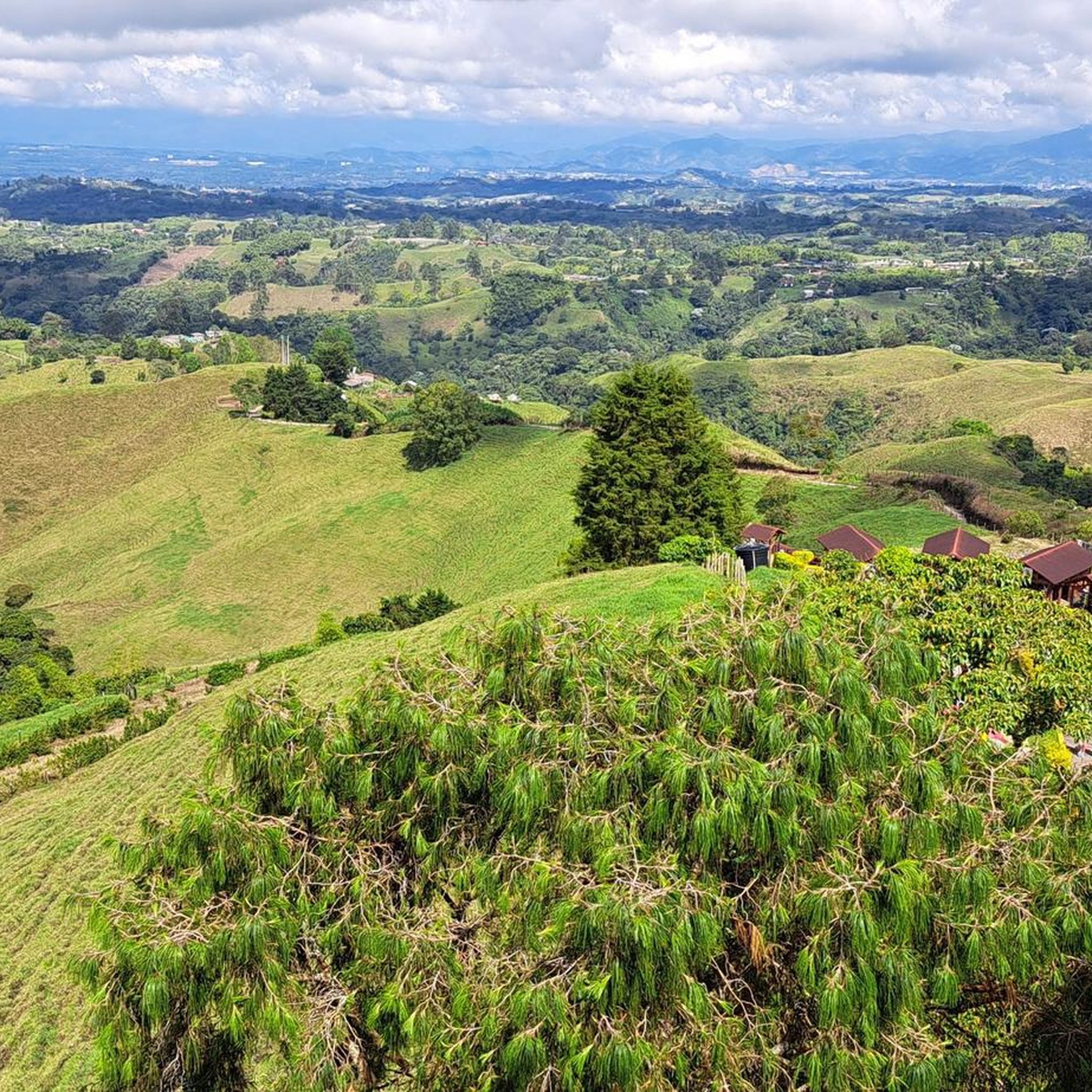
Descent through coffee farms to reach Quimbaya, the road next to it is called Delgaditas, this is shorter but steeper
0
0

Filandia is a Colombian municipality belonging to the department of Quindío. Originally, the territory in which the municipality is located was inhabited by Quimbaya indigenous people. The lands of Filandia around the year 1540 were called by the Spanish settlers as "quimbaya province."
0
0
Frequently Asked Questions
What kind of terrain can I expect on gravel bike trails in Valle del Cauca?
Gravel biking in Valle del Cauca offers a diverse range of terrain. You'll encounter challenging ascents and descents through the Andean mountain ranges, particularly in areas like the Cordilleras Occidental and Central, which feature cloud forests and coffee-growing regions. The central Cauca Valley, on the other hand, provides less technical, scenic gravel paths through expansive agricultural lands and fertile plains.
Are there challenging gravel routes for experienced riders in Valle del Cauca?
Yes, Valle del Cauca is well-suited for experienced gravel riders seeking a challenge. Many routes feature demanding ascents and varied terrain. For example, the Filandia – Arabia Village Entrance loop from Filandia is a difficult 87.7 km trail with over 1500 meters of elevation gain, exploring rural coffee landscapes. Another demanding option is the Filandia – Mirador Altobonito loop from Filandia, offering panoramic views and varied terrain.
What is the typical elevation gain on gravel rides in Valle del Cauca?
The elevation gain on gravel rides in Valle del Cauca can vary significantly depending on the route's location. Mountainous routes, especially in the Andean ranges, can feature substantial climbs. For instance, the Filandia – Arabia Village Entrance loop from Filandia includes over 1500 meters of ascent, while the La Ermita Church – La Paz District loop from El Mortiñal has over 1290 meters of elevation gain.
Are there any scenic viewpoints or natural features along the gravel trails?
Absolutely. Valle del Cauca is rich in natural beauty. Many routes offer rewarding panoramic views, especially from higher elevations like Mirador Altobonito. You can also find trails that pass through diverse ecosystems, from lush tropical forests to open agricultural landscapes. The region is a biodiversity hotspot, ensuring a variety of natural backdrops for your ride.
Can I find routes that pass by waterfalls or rivers?
Yes, the region is fed by numerous rivers, including the Pance River, which originates in the Farallones de Cali. Some routes may follow these river courses. While specific gravel routes passing directly by waterfalls are not detailed in the guide, the region is known for waterfalls like Cascada de la Sierpe in La Elvira, which could be scenic points of interest near potential biking trails. You can explore highlights like Swimming spot on the Río Escalarete or Charco La Karina for river access.
What landmarks can I see while gravel biking in Valle del Cauca?
Gravel biking in Valle del Cauca can take you past various interesting landmarks. You might encounter historical sites like La Ermita Church, or natural attractions such as the Pance River Bridge, a popular spot for athletes. Higher elevation routes can lead to summits like El Rosario Summit, offering expansive views. The region also features charming towns and coffee plantations, adding cultural depth to your ride.
Is parking available at the trailheads for gravel biking routes?
While specific parking details for every trailhead are not provided, popular cycling areas and starting points, especially near towns or known athletic spots like the Pance River Bridge, often have designated or informal parking options. It's advisable to research specific starting points for your chosen route for detailed parking information.
How can I access gravel biking routes using public transport?
Valle del Cauca has a developing public transport network, but direct access to remote gravel trailheads via public transport can be limited. Major towns like Cali or Filandia are generally accessible by bus. From these hubs, you might need to arrange local transport or cycle to the starting points of more rural routes. For routes starting near urban centers, like the Pance River Bridge – Pance Village loop from Universidad del Valle - Sede Melendez, public transport within Cali might get you closer to the starting point.
Do I need permits to gravel bike in Valle del Cauca?
Generally, permits are not required for gravel biking on public roads and trails in Valle del Cauca. However, if your route takes you through protected areas such as national natural parks like Farallones de Cali, or private reserves, there might be specific entry fees or regulations. It's always best to check with local authorities or park administrations if you plan to enter such areas.
What is the best time of year to go gravel biking in Valle del Cauca?
Valle del Cauca experiences a tropical climate with distinct wet and dry seasons. The dry season, typically from December to March and July to August, generally offers the most favorable conditions for gravel biking with less rain and clearer skies. During the rainy season, trails can become muddy and more challenging, especially in mountainous areas. Always check local weather forecasts before heading out.
Are there any family-friendly gravel bike trails in Valle del Cauca?
While many of the featured routes in this guide are rated as 'difficult' due to significant elevation changes and distances, the fertile valleys and agricultural plains of Valle del Cauca likely offer less technical and flatter gravel paths that could be suitable for families. These areas provide scenic rides through sugarcane fields and rural landscapes. It's recommended to look for shorter, less elevated routes if biking with children.
Are there circular gravel bike trails available in Valle del Cauca?
Yes, many gravel routes in Valle del Cauca are designed as loops, allowing you to start and end at the same point. Examples include the popular Filandia – Arabia Village Entrance loop from Filandia, the Filandia – Mirador Altobonito loop from Filandia, and the La Ermita Church – La Paz District loop from El Mortiñal. These circular routes make planning your ride more convenient.
What do other gravel bikers enjoy most about gravel biking in Valle del Cauca?
Gravel bikers often praise Valle del Cauca for its 'rough beauty' and the sheer diversity of its landscapes. The combination of challenging Andean mountain ascents, serene rides through fertile valleys, and the rich biodiversity of its ecosystems provides a unique and engaging experience. The strong cycling culture in Colombia also contributes to a welcoming environment for riders.
Most popular routes in Valle Del Cauca
Most popular attractions in Valle Del Cauca

Get inspired with the komoot mobile app


Explore more
Browse the best Gravel rides in other regions.
