The best walks and hikes around Pyyvesi
4.6
(29)
170
hikers
4
hikes
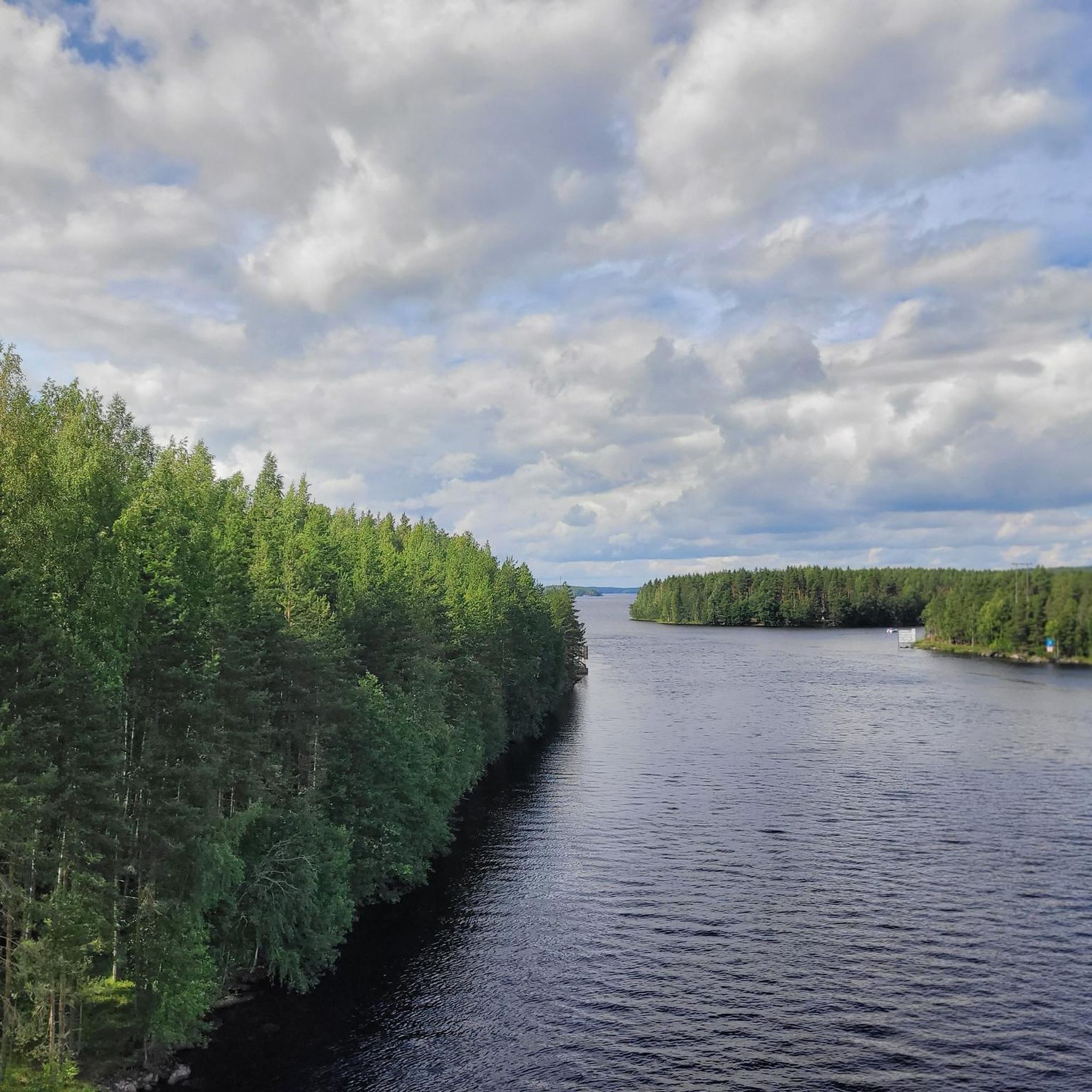
Hiking around Pyyvesi offers access to a rugged landscape characterized by rocky cliffs, narrow lake channels, and extensive wilderness-like forests. This region is part of the vast Saimaa Lake System, with many trails located within or in proximity to Kolovesi National Park. The terrain provides a combination of impressive geological formations and diverse ecosystems, ideal for outdoor activities.
Best hiking trails around Pyyvesi
- The most popular hiking route is Olavinlammen ulkoilureitti, a 4.4 miles (7.1 km) trail that takes…
Last updated: July 1, 2026
5.0
(1)
6
hikers
7.11km
01:55
90m
90m
Easy hike. Great for any fitness level. Easily-accessible paths. Suitable for all skill levels.
4.3
(23)
143
hikers
3.88km
01:05
70m
70m
Easy hike. Great for any fitness level. Easily-accessible paths. Suitable for all skill levels.

Sign up for free
4.3
(4)
17
hikers
Easy hike. Great for any fitness level. Easily-accessible paths. Suitable for all skill levels.
4.7
(3)
8
hikers
5.60km
01:27
30m
30m
Easy hike. Great for any fitness level. Easily-accessible paths. Suitable for all skill levels.
Our route recommendations are based on thousands of hikes, rides, and runs completed by other people on komoot.
Start today with a free account
Your next adventure awaits.
Login or Signup
Popular around Pyyvesi
Tips from the Community

The Enonkoski River is approximately 27 kilometers long. The sources is found in Enonvesi and the river travels through a series of scenic landscapes before joining lake Saimaa.
0
0
The Enonkoski area has a rich history dating back to the 16th century, and its strategic location on the Vuoksi River made it an important center for trade and transportation during Finland's early industrial development.
0
0

From this high ground you can appreciate the views north across the lake which is hidden in the foreground below you. Distant forests and sky dominate this section of the trail for you to enjoy.
1
0
This viewpoint over Lake Olavinlampi offers you a stunning panoramic view of the surrounding forest and lake from this elevated position. Situated along the high ground, it provides the perfect spot to pause and take in the beauty of nature, with the calm waters of Olavinlampi reflecting the sky. A peaceful stop to enjoy the serene landscape and snap some memorable photos.
2
0

The Enonkoski River is approximately 27 kilometers long. The sources is found in Enonvesi and the river travels through a series of scenic landscapes before joining lake Saimaa.
0
0

Goes steeply up the mountain.
0
0
Fire pit with wood and toilet nearby. You can also spend the night there.
0
0
Frequently Asked Questions
What kind of landscape can I expect when hiking around Pyyvesi?
The Pyyvesi area, particularly through its connection with Kolovesi National Park, features a rugged landscape with dramatic rocky cliffs, narrow lake channels, and extensive wilderness-like forests. You'll experience impressive geological formations and diverse ecosystems, characteristic of the vast Saimaa Lake System.
Are there many hiking trails available in Pyyvesi?
While Pyyvesi offers a focused selection of trails, you'll find several options to explore. komoot features 4 hiking routes in the area, all categorized as easy, making them accessible for various outdoor enthusiasts.
What is the best time of year to go hiking in Pyyvesi?
Pyyvesi's natural beauty can be enjoyed across seasons. The wilderness-like forests and lake system are particularly stunning in late spring, summer, and early autumn when the weather is mild. Winter offers a serene, snow-covered landscape for those prepared for colder conditions.
Are there any family-friendly hiking options in Pyyvesi?
Yes, all the hiking routes listed on komoot for Pyyvesi are rated as easy, making them suitable for families. Trails like the Nahkiaissalo Nature Trail – Kolovesi National Park, at just under 4 km, offer a great way to explore nature with children.
Can I bring my dog on the hiking trails in Pyyvesi?
Generally, dogs are welcome on hiking trails in Finland, especially in national parks like Kolovesi, which is connected to Pyyvesi. However, they must be kept on a leash to protect wildlife. Always check specific national park rules or local signage for any seasonal restrictions.
Are there any circular hiking routes in the Pyyvesi area?
Yes, you can find circular routes in the area. For example, the Enonkoski river – Enonkoski loop from Enonkoski is a 5.6 km circular trail that takes you through riverine landscapes.
What kind of natural attractions or landmarks can I see while hiking?
The Pyyvesi area, particularly within Kolovesi National Park, is known for its rugged scenery, dramatic rocky cliffs, and ancient rock paintings that offer a glimpse into Finland's early settlers. You might also spot the rare Saimaa ringed seal in the pristine waters of the Saimaa Lake System.
How long do hikes in Pyyvesi typically take?
The duration of hikes in Pyyvesi varies depending on the trail. For instance, the Olavinlammen ulkoilureitti is about 7.1 km and typically takes around 1 hour 55 minutes, while shorter trails like the View at the lake – Lohilathi West camping area loop can be completed in under an hour.
Is there a specific trail like Pyylin polku mentioned in the region research?
Yes, the Pyylin polku Trail is located on Pyylinsaari island, on the western side of Kolovesi National Park. This 6.7-kilometer trail is maintained by the municipality of Heinävesi and offers a dedicated route for hikers to experience the area's unique nature.
What do other hikers say about the trails in Pyyvesi?
The trails in Pyyvesi are highly regarded by the komoot community, with an average rating of 4.6 stars from over 20 reviews. Hikers often praise the serene environment, the pristine nature of Kolovesi National Park, and the well-maintained paths that offer a straightforward experience through the local natural environment.
Are there any specific nature trails to explore in Kolovesi National Park near Pyyvesi?
Absolutely. The Nahkiaissalo Nature Trail – Kolovesi National Park is a popular easy route, offering a great opportunity to immerse yourself in the park's pristine wilderness-like forests and rugged scenery.
Where can I find more information about Kolovesi National Park?
For more detailed information about Kolovesi National Park, including regulations and facilities, you can visit the official Visit Finland page: Kolovesi National Park.
Most popular routes around Pyyvesi

Get inspired with the komoot mobile app


Explore more
Browse the best Hikes in other regions.
