The best cycling routes around Fort Bliss
4.9
(14)
110
riders
11
rides
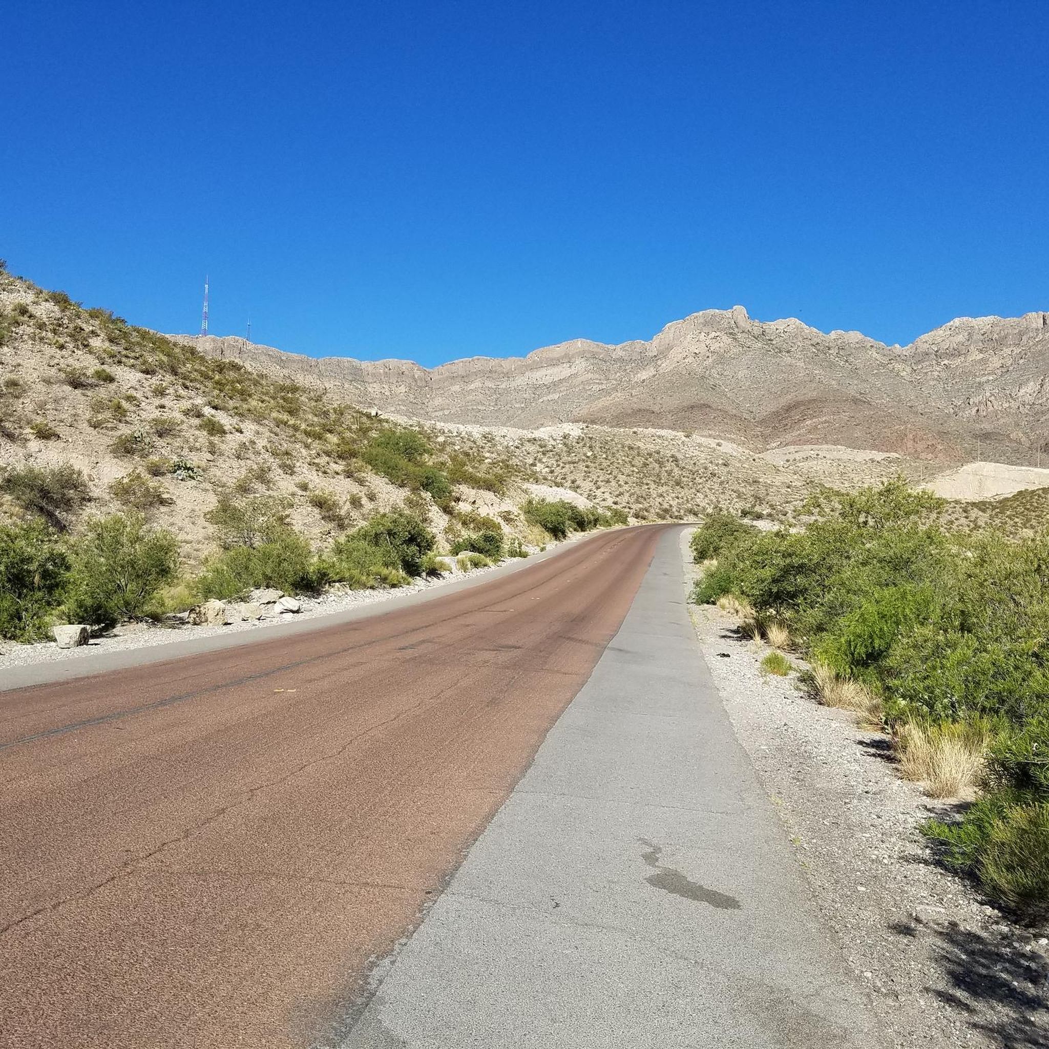
Touring cycling around Fort Bliss is characterized by its location within the Chihuahuan Desert, offering a distinct arid environment for routes. The prominent Franklin Mountains provide a scenic backdrop and varied terrain, including significant elevation changes. The region features diverse desert flora and overlooks the Rio Grande, adding to the natural aesthetic. These landscapes create a range of cycling experiences from flat desert paths to more challenging mountain ascents.
Best touring cycling routes around Fort Bliss
- The most popular touring…
Last updated: September 30, 2026
4.5
(10)
21
riders
47.7km
03:51
310m
310m
Moderate bike ride. Good fitness required. Mostly paved surfaces. Suitable for all skill levels.
5.0
(1)
20
riders
Moderate bike ride. Good fitness required. Mostly paved surfaces. Suitable for all skill levels.

5.0
(1)
14
riders
87.4km
08:01
1,050m
1,050m
Hard bike ride. Very good fitness required. Mostly paved surfaces. Suitable for all skill levels.
15
riders
Hard bike ride. Very good fitness required. Mostly paved surfaces. Suitable for all skill levels.
8
riders
Moderate bike ride. Good fitness required. Mostly paved surfaces. Suitable for all skill levels.
Get access to more routes and recommendations from other explorers.
Already have an account?
Our route recommendations are based on thousands of hikes, rides, and runs completed by other people on komoot.
Start today with a free account
Your next adventure awaits.



Tips from the Community


This overlook is better known as Murchison Rogers Park. The overlook features several pier overlooks from the cliffside that point down the valley and towards the mountain sides. The twisty mountain road reaching the overlook is a popular scenic drive, walk, jog, and bike ride.
0
0

In the park named after the former president of Mexico, known as the Father of the Americas, you can find this monument in his honor, which was inaugurated in 1910 shortly before the start of the revolution.
1
0
If you look carefully from this point at the rocky elevation to the east, you'll be able to see the entrance to the well-known Cueva Roja (Red Cave in Spanish). The cave gets its name from the red clay mineral inside, which you can notice even as you approach. However, if you want to climb up to see the entrance, you'll need to do it dismounted from the bike.
1
0

Nice ride. Crowded on sundays. Blocked for motorvehicles sunday mornings
1
0

Frequently Asked Questions
How many touring cycling routes are available around Fort Bliss?
There are over 10 touring cycling routes detailed around Fort Bliss, offering a variety of experiences for different skill levels. These include easy, moderate, and difficult options, allowing cyclists to choose paths that best suit their fitness and preferences.
What kind of terrain and elevation can I expect on touring cycling routes near Fort Bliss?
The touring cycling routes around Fort Bliss are primarily characterized by the dramatic desert landscapes of the Chihuahuan Desert and the prominent Franklin Mountains. You can expect varied terrain, from relatively flat desert paths to challenging ascents with significant elevation gains, especially in routes that venture into the mountain foothills. For example, the Murchison Rogers Park Overlook – View of McKelligon Canyon loop from El Paso features over 540 meters of elevation gain.
Are there any easy touring cycling routes suitable for beginners around Fort Bliss?
Yes, there are easy touring cycling routes available. An example is the Bike loop from Ciudad Juárez Mexico Temple, which is approximately 19.9 km long with minimal elevation gain, making it a great option for those looking for a more relaxed ride.
What are some challenging touring cycling routes for experienced riders?
For experienced cyclists seeking a challenge, the Murchison Rogers Park Overlook – View of McKelligon Canyon loop from El Paso is a difficult route spanning 31.2 km with over 540 meters of ascent, offering panoramic views and demanding climbs. Another option is the 'Mike's Transmountain ride' which is a longer route with significant elevation changes.
Are there any circular touring cycling routes in the Fort Bliss area?
Yes, many of the touring cycling routes around Fort Bliss are designed as loops. For instance, the popular Benito Juárez Monument loop from Lienzo Charro is a moderate 48.5 km circular route. Another option is the Monk’s Trail loop from The University of Texas at El Paso, a shorter 9.4 km loop.
What natural features or landmarks can I see along the touring cycling routes?
The routes offer stunning views of the Chihuahuan Desert and the Franklin Mountains. You can also catch glimpses of the Rio Grande. Notable natural features and landmarks in the vicinity include Ranger Peak, South Franklin Mountain summit, and Castner Range National Monument. The McKelligon Canyon Road itself is a scenic highlight.
What do other touring cyclists say about the routes around Fort Bliss?
The touring cycling routes around Fort Bliss are highly regarded by the komoot community, with an average rating of 4.4 stars from around 10 reviews. Cyclists often praise the unique desert landscapes, the challenging climbs, and the panoramic views offered by routes like the Murchison Rogers Park Overlook – McKelligon Canyon Road loop from Argonaut.
Are there any family-friendly touring cycling options near Fort Bliss?
While specific family-friendly touring cycling routes are not detailed in the guide, the region offers various cycling opportunities, and Fort Bliss MWR (Morale, Welfare, and Recreation) frequently organizes cycling challenges and group rides that cater to families. For a self-guided tour, consider the easier routes or those within less challenging park areas.
What is the best time of year for touring cycling around Fort Bliss?
Fort Bliss benefits from consistent warm weather for much of the year, making it suitable for touring cycling during many seasons. However, the spring and fall months typically offer the most comfortable temperatures, avoiding the intense heat of summer and the cooler desert nights of winter. Always check local weather forecasts before heading out.
Is there public transport access to the touring cycling routes?
While specific public transport connections directly to trailheads are not detailed, El Paso, as a major metropolitan center adjacent to Fort Bliss, offers public transportation options. Cyclists may need to plan their route to connect with public transport or consider driving to a suitable starting point with parking.
Are there any specific viewpoints or scenic spots along the touring cycling routes?
Many routes offer breathtaking scenic viewpoints, especially those traversing the Franklin Mountains. The Ranger Peak, accessible via the Wyler Aerial Tramway near Franklin Mountains State Park, provides panoramic views of the vast canyon and surrounding desert, which can be a great addition to a cycling trip. Routes like the Murchison Rogers Park Overlook – View of McKelligon Canyon loop from El Paso are specifically highlighted for their views.
Can I find parking near the touring cycling route starting points?
Parking availability varies by trailhead and starting point. Many parks and recreational areas, such as Franklin Mountains State Park, offer designated parking facilities. It is advisable to research specific starting points for your chosen route to confirm parking options before your trip.
Most popular attractions around Fort Bliss

Get inspired with the komoot mobile app


