The best gravel rides in Usery Mountain Regional Park
4.9
(6)
45
riders
5
rides
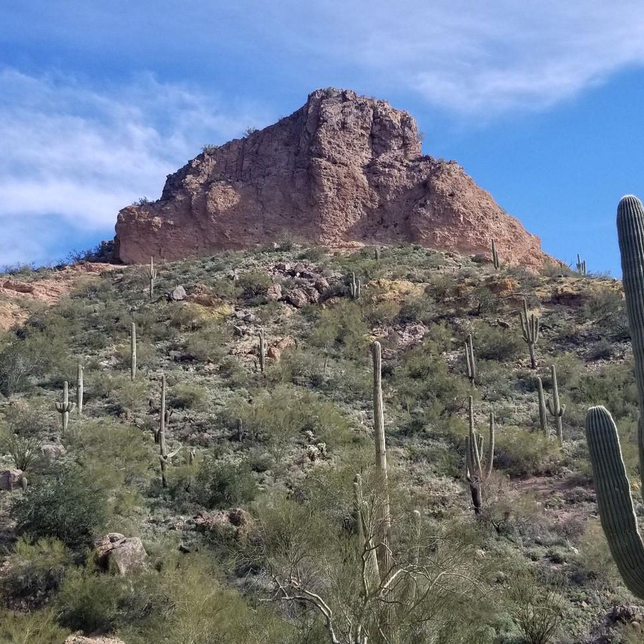
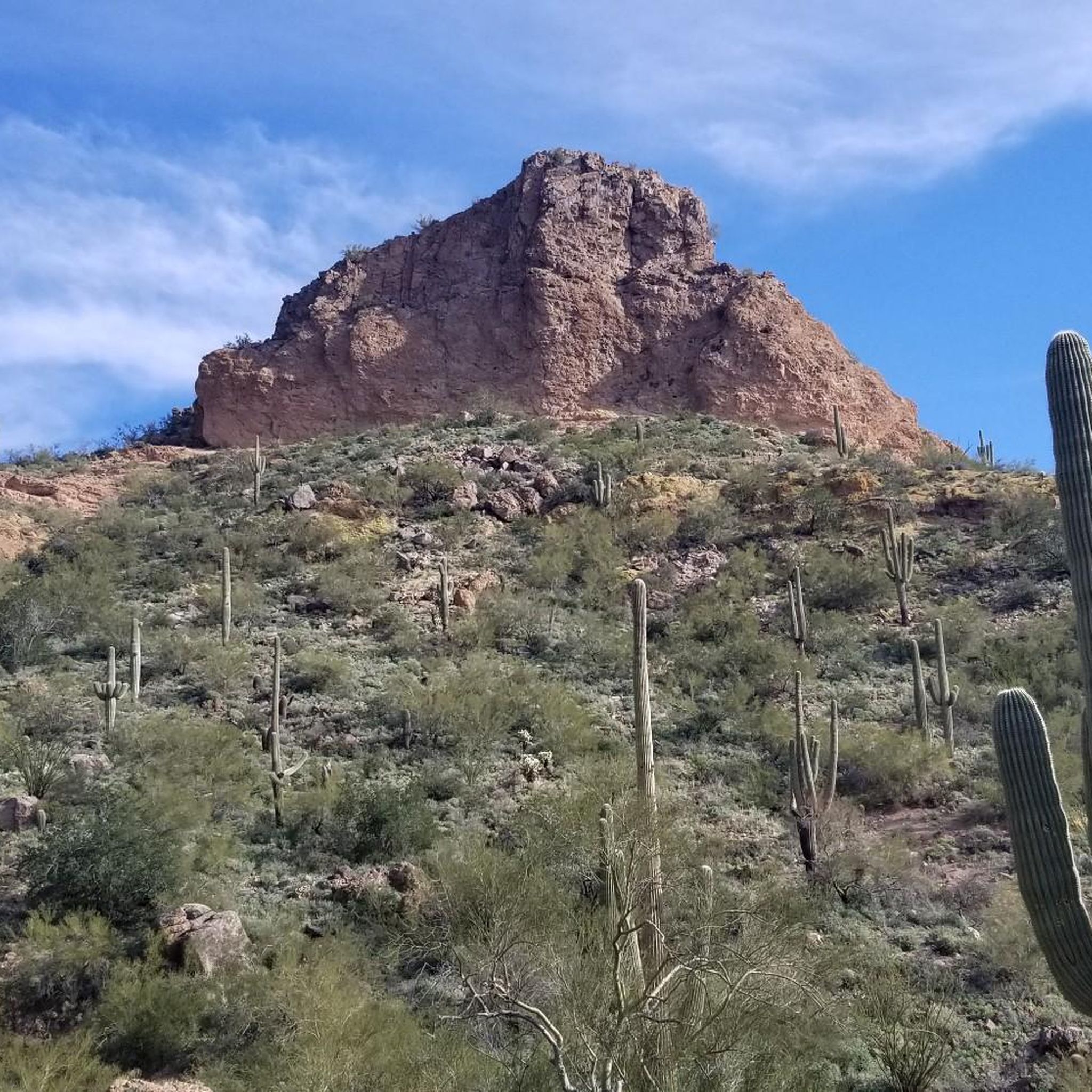
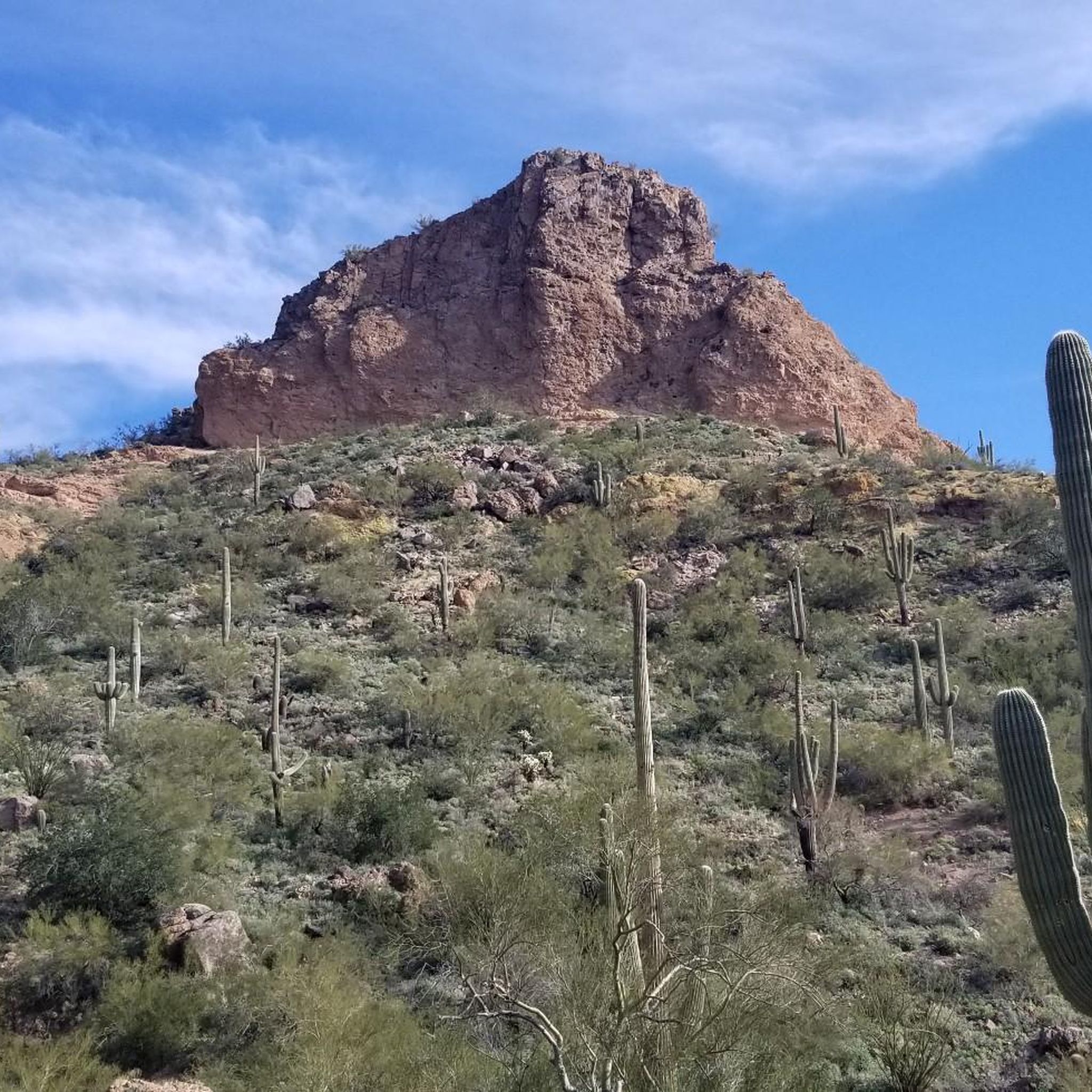
Gravel biking in Usery Mountain Regional Park offers diverse trails within the Sonoran Desert landscape, characterized by hard-packed dirt and gravel paths. The park is situated against the Goldfield Mountains, featuring rocky outcrops, scenic canyons, and expansive desert vistas. Terrain varies from mostly flat sections to routes with significant elevation changes, providing options for different skill levels. The area is home to saguaro cacti and other desert flora.
Best gravel bike trails in Usery Mountain Regional Park
- The most popular gravel bike trail is Levee Trail – County Line Trail loop from Usery Mountain Regional Park, a 11.4 miles (18.3 km) trail that takes 1 hour 33 minutes to complete. This route features varied terrain with a difficult grading.
- Another top favourite among local gravel bikers is Moon Rock Trail – Blevins Trail loop from Usery Mountain Regional Park, an easy 6.0 miles (9.7 km) path. This loop is known for its well-groomed, mostly flat crushed gravel and sand sections, offering scenic desert views.
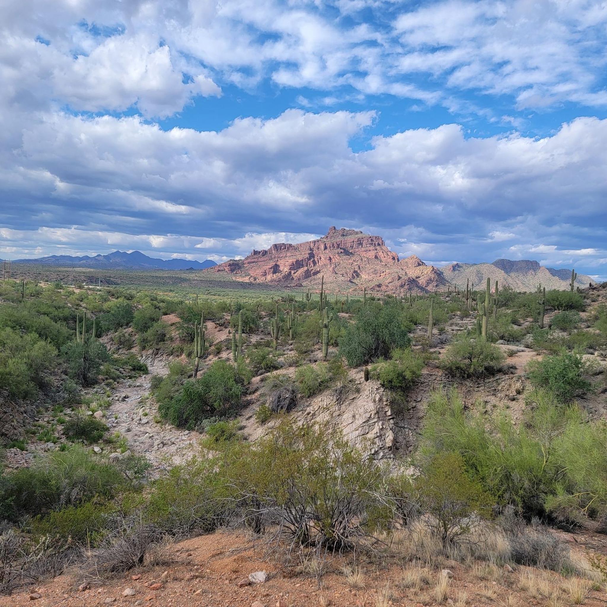
- Local gravel bikers also love the Maricopa Trail in Tonto National Forest – View of Red Mountain loop from Hawer Trail Parking, a 28.2 miles (45.3 km) trail leading through Tonto National Forest, often completed in about 3 hours 41 minutes.
- Gravel biking in Usery Mountain Regional Park is defined by Sonoran Desert landscapes, views of the Goldfield Mountains, and multi-use trails with hard-packed dirt and gravel surfaces. The network offers options for different ability levels, from easy, flat rides to more challenging routes with elevation changes.
- The routes in Usery Mountain Regional Park are highly rated by the komoot community with an average score of 4.9 stars from more than 5 reviews. More than 30 gravel bikers have used komoot to explore Usery Mountain Regional Park's varied terrain.
Last updated: October 22, 2026
4.8
(5)
20
riders
23.3km
01:54
160m
150m
Moderate gravel ride. Good fitness required. Mostly paved surfaces.
5.0
(1)
2
riders
Easy gravel ride. Mostly paved surfaces.

7
riders
Moderate gravel ride. Good fitness required. Mostly paved surfaces.
7
riders
Moderate gravel ride. Good fitness required. Mostly paved surfaces.
9
riders
Moderate gravel ride. Good fitness required. Mostly paved surfaces.
Our route recommendations are based on thousands of hikes, rides, and runs completed by other people on komoot.
Start today with a free account
Your next adventure awaits.
Tips from the Community

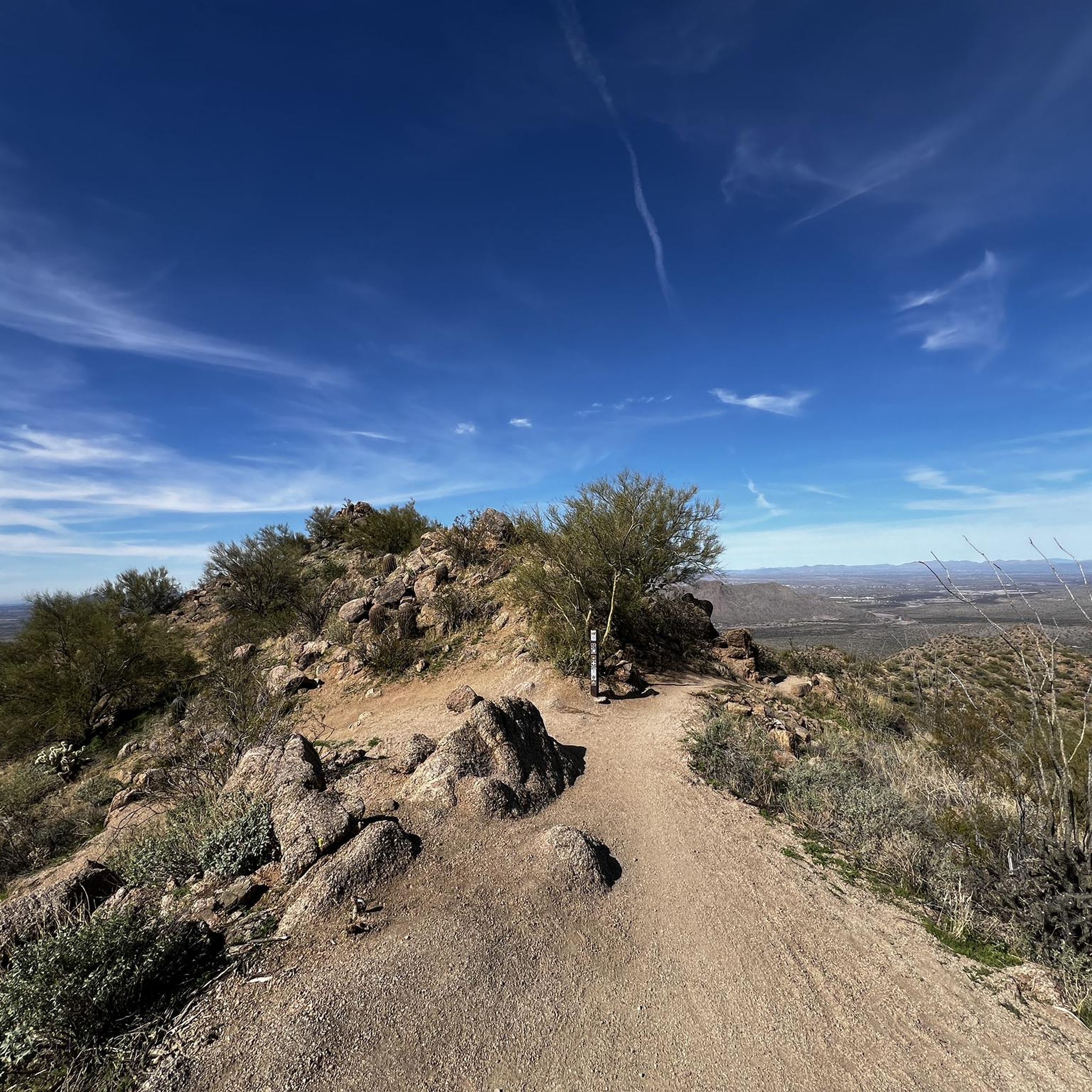
Blevins Trail in Usery Mountain Regional Park near Mesa, Arizona, is a popular spot for gravel cycling thanks to its well-groomed, mostly flat terrain and scenic desert views. The 3.1-mile loop features crushed gravel and sand surfaces, making it ideal for beginner to intermediate riders. Cyclists can enjoy wide-open views of Pass Mountain and the Superstitions while weaving through classic Sonoran Desert landscape. The trail connects to others like Moon Rock and Cat Peaks, offering options to extend your ride. Accessible year-round, it’s best ridden in cooler months.
0
0

Freestone Pond creates a nice atmosphere within the Freestone Park area. The pond is surrounded by grassy open areas, palm trees and picnic tables. This is a man-made pond, with small falls connecting the two sections of the pond, offering a refreshing place to take a break and enjoy the facilities of the park area.
0
0

The Levee Trail follows the south side of the Pass Mountain Diversion Channel. It is a long, flat gravel ride with great views and gives the rider a feeling of the wilderness around Phoenix.
1
0
Here is a great view of Superstition Mountain. Look for the mountain's two major peaks: Superstition Peak or "Peak 5057" at an elevation of 5,059 feet (1,542 m) Flatiron Peak or "Peak 5024" at an elevation of 5,024 feet (1,531 m)
0
0

This trail offers a less crowded and well groomed experience. You may occasionally encounter mountain bikers or horseback riders, but it provides a great option to enjoy a mostly solitary ride.
0
0
Moon Rock Trail is a hiking and mountain biking trail but one of the easier gravel rides, being smooth with packed dirt, being described as "flowing easy singletrack" and tral with great scenery and round smooth "moon rocks" all around this landscape.
0
0
This area actively promotes the creation and conservation of scarce riparian (the interface between land and a river) areas. Abounding with lakes, it features paved paths and boardwalks along the waterfront, providing opportunities to observe a diverse range of wildlife.
1
0

The wetlands here area a vital resource for local wildlife & migratory birds. It's a good place to get off the bike and enjoy some quiet moments by the water.
0
0
Frequently Asked Questions
How many gravel bike trails are available in Usery Mountain Regional Park?
There are 5 gravel bike routes available in Usery Mountain Regional Park, catering to various skill levels from easy to difficult.
What kind of terrain will I encounter on the gravel bike trails?
The park offers an extensive network of multi-use trails, primarily consisting of hard-packed dirt and gravel. You'll find well-groomed, mostly flat terrain of crushed gravel and sand on routes like the Blevins Trail, but also more challenging sections with varied terrain and significant elevation changes, especially as trails connect to higher areas.
Are there any beginner-friendly gravel bike routes in Usery Mountain Regional Park?
Yes, beginners can enjoy the Moon Rock Trail – Blevins Trail loop from Usery Mountain Regional Park. This route is rated as easy and covers a distance of approximately 9.7 km with minimal elevation gain, offering a smooth ride through scenic desert views.
What are the best times of year to go gravel biking in Usery Mountain Regional Park?
The cooler months, typically from late fall through early spring (October to April), are ideal for gravel biking in Usery Mountain Regional Park. During these times, temperatures are more moderate, making for a more comfortable and enjoyable ride through the Sonoran Desert landscape.
Are there any circular gravel bike routes in the park?
Yes, several routes offer a circular experience. For example, the Levee Trail – County Line Trail loop from Usery Mountain Regional Park provides a challenging 18.3 km loop, while the Moon Rock Trail – Blevins Trail loop is an easier, shorter option.
What interesting natural features or landmarks can I see along the trails?
The park is rich in Sonoran Desert landscapes, featuring towering saguaro cacti, rocky outcrops, and expansive desert vistas. You can explore areas like the Moon Rock Trail and enjoy views towards South Cat Peak. The famous Wind Cave, known for its unique 'hanging gardens,' is also accessible via a trail within the park, offering stunning views from its elevation.
What kind of wildlife might I encounter while gravel biking?
Usery Mountain Regional Park is home to diverse desert wildlife. Keep an eye out for Gambel's Quail, Harris's Hawk, and Gila Woodpeckers. If you're lucky, you might even spot desert bighorn sheep or coyotes, especially during quieter times of day.
Are there any longer gravel bike routes for experienced riders?
Experienced riders looking for longer distances can consider routes that extend into the adjacent Tonto National Forest. The Maricopa Trail in Tonto National Forest – Freestone Park loop from Hawer Trail Parking is a challenging 65.2 km route, offering a significant ride with varied terrain.
Are there amenities like parking or a nature center at Usery Mountain Regional Park?
Yes, Usery Mountain Regional Park offers amenities including parking facilities and a Nature Center. The Nature Center provides interpretive exhibits and educational programs about the local ecosystem. The park also has picnicking areas and camping facilities.
What do other gravel bikers enjoy most about Usery Mountain Regional Park?
The area is highly rated by the komoot community, with an average score of 4.875 stars. Reviewers often praise the diverse trails suitable for various skill levels, the stunning Sonoran Desert scenery, and the well-maintained gravel paths that make for an enjoyable riding experience.
Can I connect to other trails or areas from Usery Mountain Regional Park?
Yes, trails within Usery Mountain Regional Park, such as Moon Rock and Cat Peaks, connect to the Blevins Trail, allowing for extended rides. Additionally, some routes, like the Maricopa Trail in Tonto National Forest – View of Red Mountain loop from Hawer Trail Parking, venture into the neighboring Tonto National Forest, offering further exploration opportunities.
Most popular routes in Usery Mountain Regional Park
Most popular attractions in Usery Mountain Regional Park

Get inspired with the komoot mobile app


Explore more
Browse the best Gravel rides in other regions.
