The 20 Most Amazing Peaks around gmina Wilkowice
Best mountain peaks around gmina Wilkowice are situated at the convergence of the Beskid Mały and Beskid Śląski mountain ranges. This region offers a diverse array of prominent peaks, each with unique features. Characterized by extensive forests, the area provides numerous opportunities for hiking and enjoying panoramic views. Visitors can explore a variety of terrain and elevation, from intermediate trails to challenging ascents.
Best mountain peaks around gmina Wilkowice
- The most popular mountain peaks is Skrzyczne Peak (1,257 m),…
Last updated: July 9, 2026
Skrzyczne Peak (1,257 m)
Highlight • Summit
Translated by Google •
Tip by

Malinowska Rock
Highlight • Natural Monument
Translated by Google •
Tip by

Sign up now to discover places like this
Get recommendations on the best single tracks, peaks, & plenty of other exciting outdoor places.
Sign up for free
Klimczok (1117 m)
Highlight • Summit
Translated by Google •
Tip by

Czupel Peak (933 m)
Highlight • Summit
Translated by Google •
Tip by

Góra Żar (765 m) – Peak in the Beskid Mały
Highlight • Summit
Translated by Google •
Tip by

Sign up for free to discover even more peaks around gmina Wilkowice.
Sign up for free
Already have an account?
Start today with a free account
Your next adventure awaits.
Login or Signup
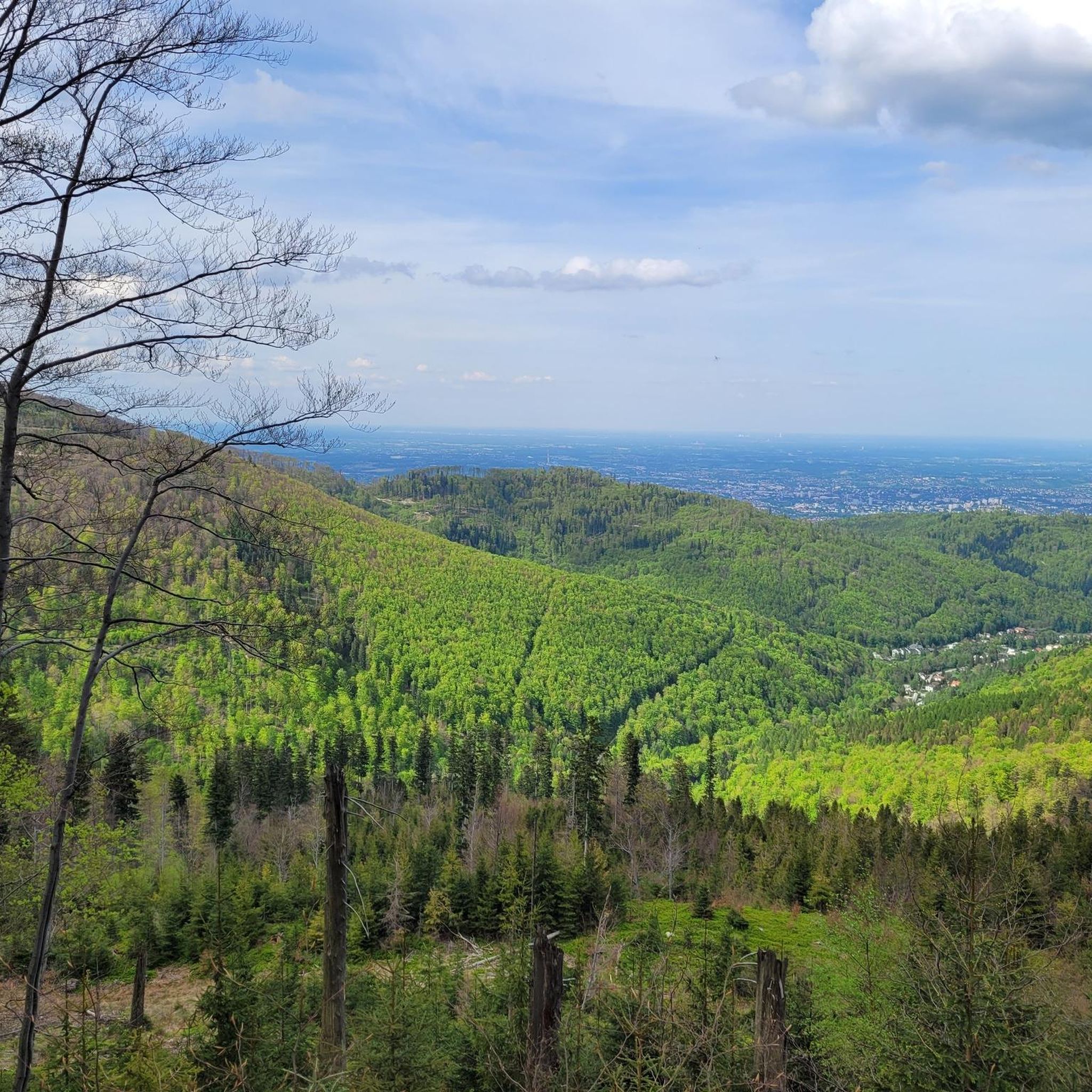
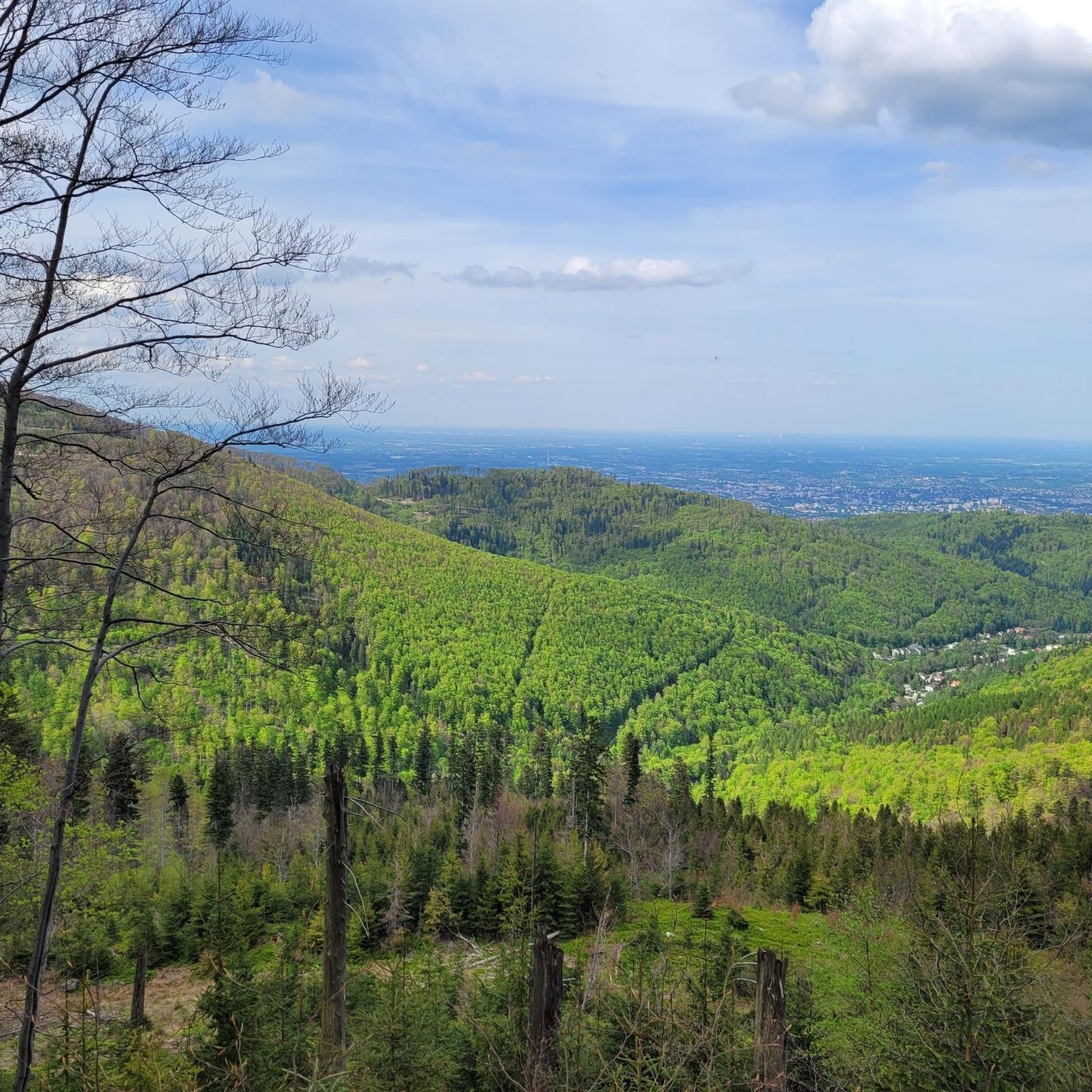
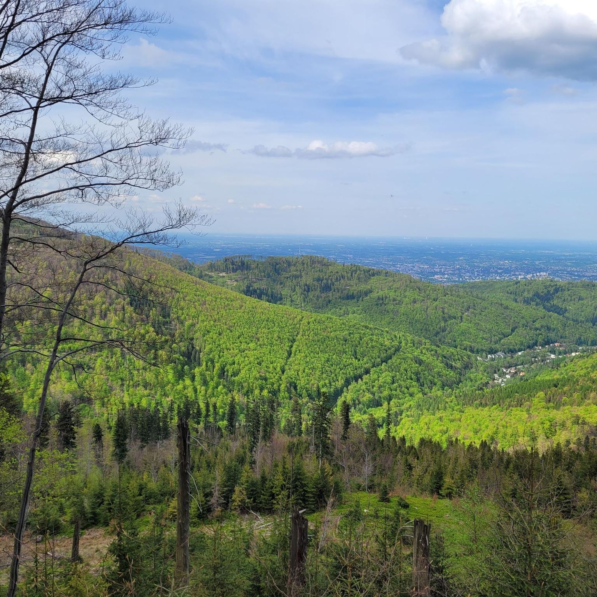
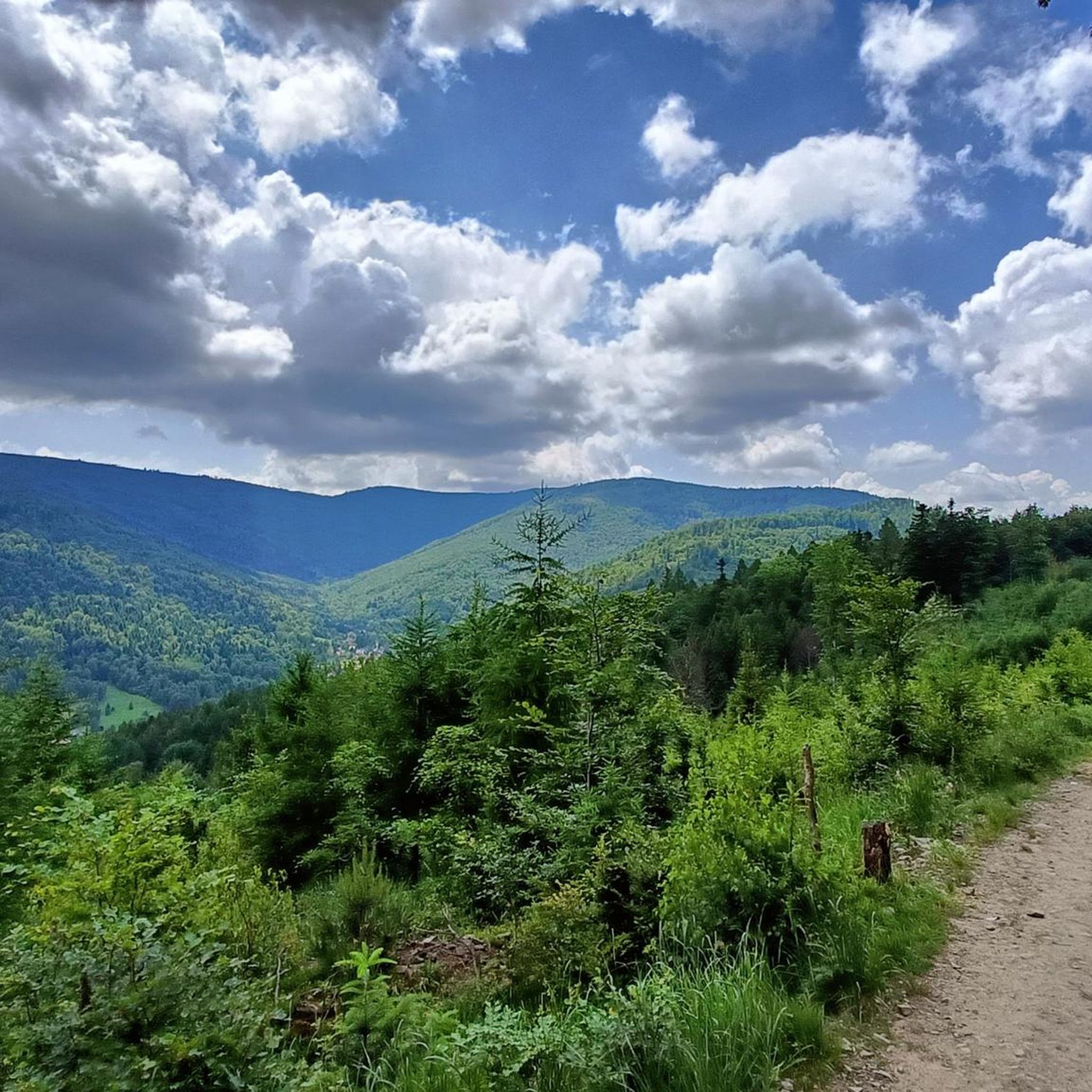


Tips from the Community

It's a pleasant ride up through Szyndzielnia, with a consistent, moderate incline and a few steeper sections before the Szyndzielnia summit. Only behind the refuge do you have to push the bike for a short distance, then it's back to a pleasant and wide trail towards Klimczok, where pushing the bike may be necessary near the summit depending on your strength. At the very top is a large meadow, and a refuge a little lower down. In good weather, you can see the Tatras from the summit.
0
0

At the top, there's a toboggan run. A great attraction for adults and children alike. Cost: 15 PLN.
1
0

The highest peak of the Silesian Beskids, part of the Crown of Polish Mountains, with panoramic views of the Beskid ranges and the Tatras on clear days.
0
0

There are several food and drink options on site. Unfortunately, everything was closed in the evening, including the restrooms, making it difficult to get water. However, the views are spectacular.
0
0

The ascent along the blue route is quite good from a sporting perspective, but the scenery isn't great. The hiking trail is quite wide (actually, much too wide), littered with quite a bit of trash (!), but the worst part is that you walk almost the entire time below/near the two chairlifts (on rocky ski slopes). If you're looking for nature, you're in the wrong place! 🌳⛰️😐 P.S.: It feels like people in Poland drink beer instead of water on the ascent/descent, which would explain all the empty beer cans along the trails 😵. I find this kind of treatment of nature appalling 🤮! All in all: 👎👎👎
0
1


The most beautiful views on the route.
1
0
Easy route for a few hours of walking, a few climbs, great views, possibility of going down by cable car.
0
0
Frequently Asked Questions
Which mountain peaks in Gmina Wilkowice are suitable for families?
For a family-friendly outing, consider Czupel Peak (933 m), the highest peak in Beskid Mały, which offers a straightforward path to the summit and has a PTTK shelter along the way. Another excellent choice is Góra Żar (765 m), which features a toboggan run at the top, providing extra fun for children. Hrobacza Łąka is also considered less demanding and ideal for family trips, offering a wooden mountain hostel and a viewing platform.
What are the best peaks for panoramic views in the Gmina Wilkowice region?
For stunning panoramic views, Skrzyczne Peak (1,257 m) offers vistas of the Żywiec Beskids, Little Fatra, and even the Tatras on clear days. Klimczok (1117 m) also provides picturesque views of surrounding ranges, including the Tatras, Babia Góra, and Skrzyczne, especially beautiful in winter. Magurka Wilkowicka boasts expansive views of Babia Góra, Pilsko, and the distant Tatra Mountains, while Hrobacza Łąka offers beautiful vistas of Kozy, Bielsko-Biała, and on clear days, the Tatras from a glade near its hostel.
Are there any historical or cultural points of interest on the mountain peaks?
Yes, several peaks have historical significance. Czupel Peak (933 m) features historical elements like the ruins of a former tourist station, a shelter known as 'Widok na Tatry,' and the intriguing Wietrzna Dziura/Smocza Jama cave. Along the red trail from Łodygowice, you can also find the 'Devil's Stone,' steeped in local legends. Klimczok (1117 m) is named after a legendary brigand and was historically a borderland. Hrobacza Łąka's wooden mountain hostel has a fascinating history, including helping hide a Jewish girl during World War Two.
What kind of hiking trails can I find near the mountain peaks of Gmina Wilkowice?
The region offers a variety of hiking trails, from intermediate to challenging ascents. You can find easy hikes like the 'Szyndzielnia PTTK Mountain Hut – Klimczok (1117 m) loop' or the 'Czupel Peak (933 m) – Czupel (933 m) loop' for a more moderate challenge. For more detailed options, explore the Easy hikes around gmina Wilkowice or Mountain Hikes around gmina Wilkowice guides.
Can I find accommodation or places to eat near the mountain peaks?
Yes, several peaks offer facilities. Skrzyczne Peak (1,257 m) has a PTTK shelter at the top where you can rest and eat. Just below Klimczok (1117 m) is the PTTK Klimczok shelter, offering accommodation and meals. Magurka Wilkowicka also features a functioning PTTK mountain shelter. On Hrobacza Łąka, a wooden mountain hostel provides basic accommodation and a buffet.
What is the highest peak in the Beskid Mały range in this area?
The highest peak in the Beskid Mały range is Czupel Peak (933 m). While its summit is largely forested, limiting expansive views from the very top, hikers can find several viewpoints along the trails offering glimpses of the surrounding landscape.
Are there any unique natural monuments to see on these peaks?
Yes, Malinowska Rock is a notable natural monument, a picturesque rock uplift up to 10 meters high, offering wonderful views. The slopes of Klimczok (1117 m) are also home to rare purple monkshood and impressively tall trees, along with several caves.
What is the best time of year to visit the mountain peaks around Gmina Wilkowice?
The region is beautiful year-round. Spring and autumn offer pleasant hiking conditions with vibrant foliage or blooming nature. Winter provides opportunities for cross-country skiing on peaks like Magurka Wilkowicka and enchanting snowy views, particularly from Klimczok (1117 m). Summer is ideal for enjoying the extensive forests and panoramic views.
Are there any specific trails for experienced hikers looking for a challenge?
For experienced hikers, the yellow trail to Skrzyczne Peak (1,257 m) through Malinowska Skała and Małe Skrzyczne is recommended, offering nice views and a longer distance. The region generally offers a variety of terrain and elevation, from intermediate trails to challenging ascents. You can find more challenging routes in the Mountain Hikes around gmina Wilkowice guide.
What other outdoor activities can I do near the mountain peaks in Gmina Wilkowice?
Besides hiking, the area around Gmina Wilkowice is excellent for road cycling. You can explore routes like the 'Lake Międzybrodzkie – Shore of Lake Żywiec loop' or the 'Szczyrk Ski Jump – Czerniańskie Lake loop.' For more cycling options, check out the Road Cycling Routes around gmina Wilkowice guide. During winter, some peaks like Magurka Wilkowicka also offer cross-country skiing trails.
Which peak is known for its distinctive cross and night illumination?
Hrobacza Łąka is easily recognizable by the 35-meter Cross of the Third Millennium, which is illuminated at night and towers over the neighboring towns. A viewing platform near the cross provides beautiful vistas of Kozy and Bielsko-Biała.
How accessible is Magurka Wilkowicka?
Magurka Wilkowicka is known for its easy accessibility. It can be reached via an asphalt road from Wilkowice, making it a convenient option for visitors who prefer a less strenuous approach to a mountain peak with expansive views.
Most popular routes around gmina Wilkowice
Most popular attractions around gmina Wilkowice

Get inspired with the komoot mobile app


