The best gravel rides around Saint-Hilaire-Petitville
4.2
(5)
65
riders
6
rides
Gravel biking around Saint-Hilaire-Petitville offers access to the diverse landscapes of the Parc naturel régional des Marais du Cotentin et du Bessin. The region is characterized by expansive marshes, wetlands, and traditional bocage, with rivers like the Douve, Taute, and Vire crisscrossing the terrain. This area provides varied gravel bike trails through cultivated fields and forests, with generally low elevation changes. Saint-Hilaire-Petitville serves as a gateway to these routes, with Carentan nearby acting as a cycling hub.
Best gravel bike…
Last updated: October 1, 2026
11
riders
72.3km
03:39
260m
260m
Moderate gravel ride. Good fitness required. Mostly paved surfaces. Suitable for all skill levels.
4.7
(3)
15
riders
41.6km
02:07
170m
180m
Moderate gravel ride. Good fitness required. Mostly paved surfaces. Suitable for all skill levels.

24
riders
62.3km
03:18
270m
270m
Moderate gravel ride. Good fitness required. Mostly paved surfaces. Suitable for all skill levels.
5.0
(1)
3
riders
46.1km
02:36
130m
130m
Moderate gravel ride. Good fitness required. Mostly paved surfaces. Suitable for all skill levels.
6
riders
37.7km
02:14
200m
200m
Moderate gravel ride. Good fitness required. Mostly paved surfaces. Suitable for all skill levels.
Our route recommendations are based on thousands of hikes, rides, and runs completed by other people on komoot.
Start today with a free account
Your next adventure awaits.

Tips from the Community

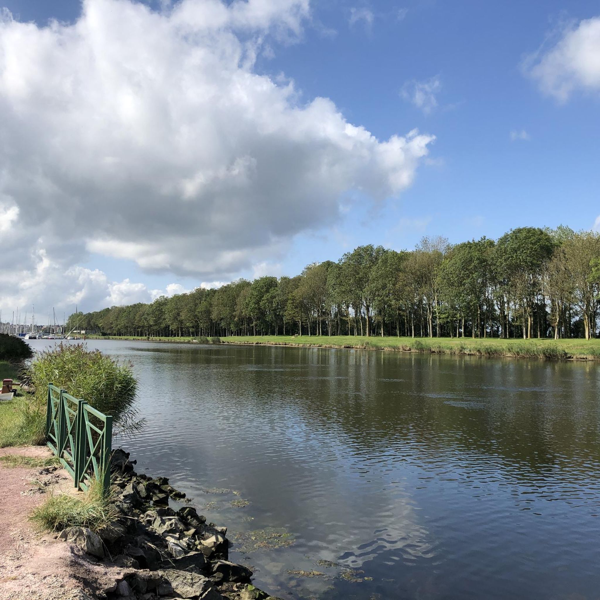
A really beautiful part of the marshes. A special landscape. And the German translation of the highlight title by Google is a total disaster.
0
0
A French hiker explained to me today at this spot that the structure was built on the initiative of Napoleon Bonaparte to control the drainage of the swamps.
0
0

La Voie de la Liberté is a historic 1,145-kilometer route that commemorates the victory of the Allies and the liberation of France, Luxembourg, and Belgium during World War II. It retraces the path of the American 3rd Army, commanded by General George Patton, from the Normandy landings to the Battle of the Bulge.
0
0


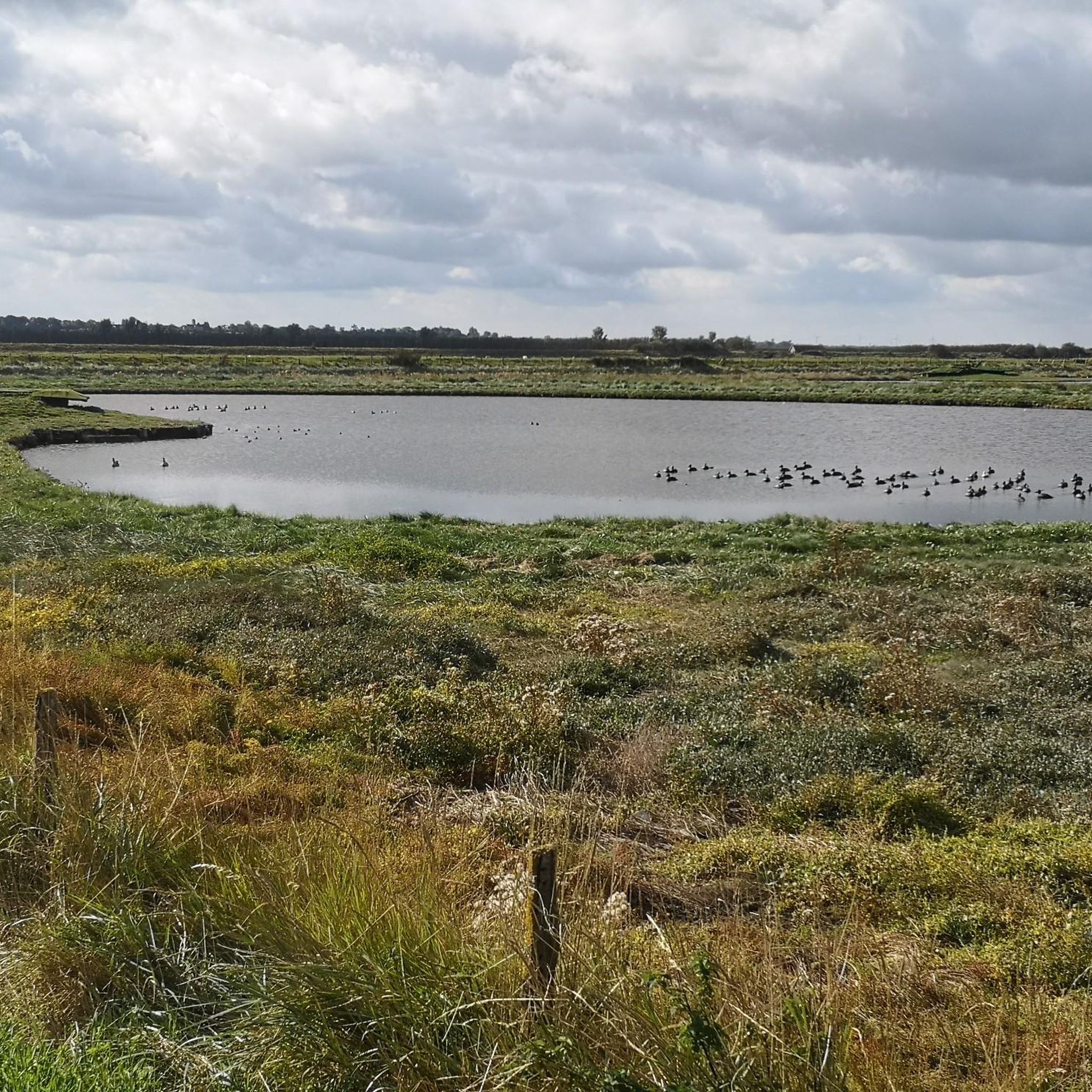
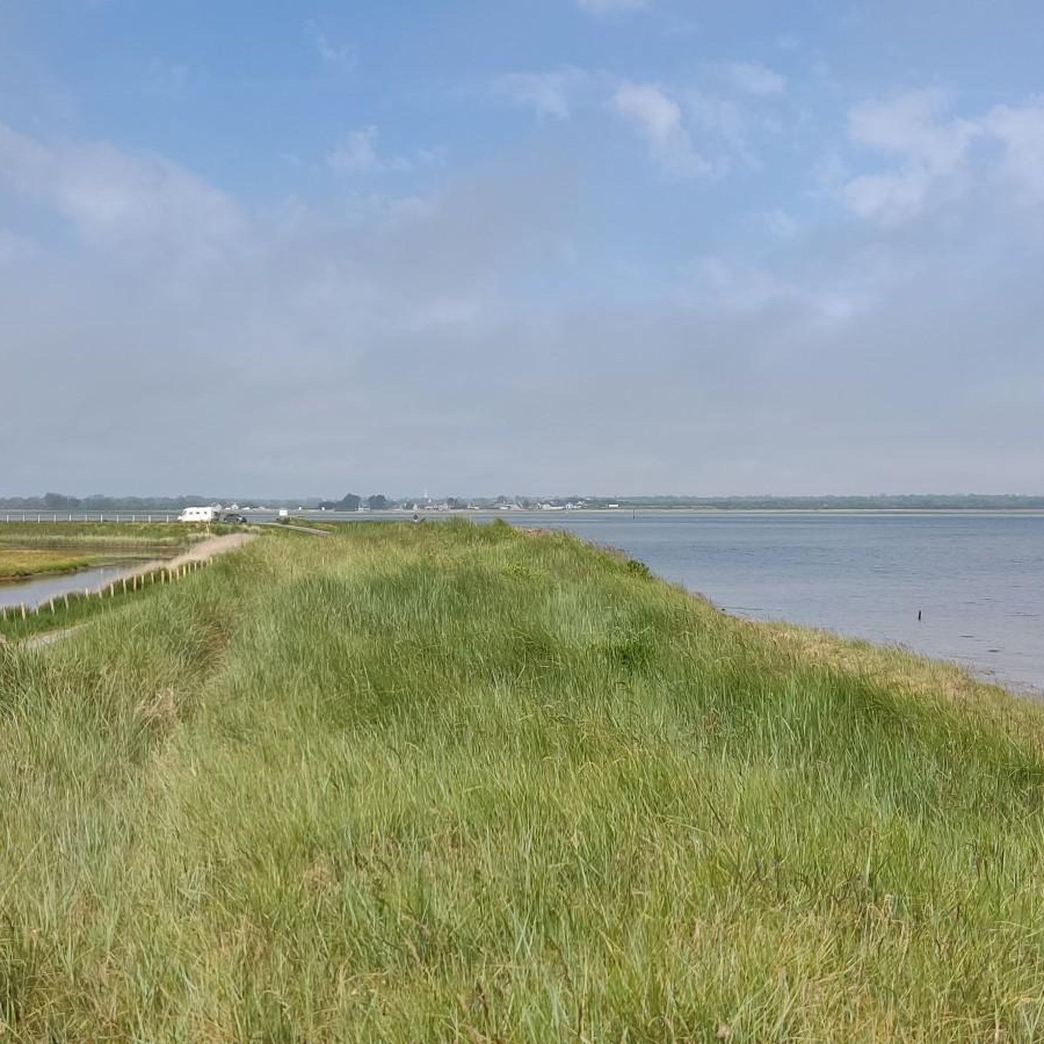
The Cotentin and Bessin Marshes Regional Natural Park offers a superb diversity of landscapes shaped by water: wet meadows, coastline and dunes, heathland and hedgerows. Here, tranquility accompanies you as you cycle or take a break to observe the birds.
2
0


A giant and magnificent work of nature and full of history
1
0
It shines with a thousand lights with the sun, we see it from far away
0
0
Frequently Asked Questions
How many gravel bike trails are available around Saint-Hilaire-Petitville?
There are 8 gravel bike trails available around Saint-Hilaire-Petitville, offering a variety of experiences through the region's diverse landscapes.
What is the typical terrain like for gravel biking in this region?
The terrain around Saint-Hilaire-Petitville is characterized by the expansive marshes and wetlands of the Parc naturel régional des Marais du Cotentin et du Bessin, traditional bocage, cultivated fields, and forests. You'll find paths along rivers like the Douve, Taute, and Vire, with generally low elevation changes, making for a varied but often gentle ride.
What are the difficulty levels of the gravel bike trails?
The gravel bike trails in this area range from moderate to difficult. Out of the 8 available routes, 7 are classified as moderate, and 1 is considered difficult, providing options for different skill levels.
Are there any family-friendly gravel biking options?
While specific family-friendly routes are not detailed in the guide, the Cotentin and Bessin Marshes Regional Natural Park, which surrounds Saint-Hilaire-Petitville, offers numerous cycling paths, including circular routes of varying lengths (10 to 35 km) that are suitable for families and beginners. These routes often feature tranquil marshlands and gentle terrain.
What natural features or landmarks can I expect to see along the gravel trails?
You can expect to encounter diverse natural features such as the Canal de Carentan and the Marais de Pommenauque. The region is also known for its rich biodiversity and birdwatching opportunities, especially in the marshlands. Additionally, historical sites like the Major Richard D Winters Memorial and various castles, such as Château Bel Enault, are nearby.
Are there circular gravel routes available?
Yes, many of the gravel routes in the area are designed as loops. For example, Portbail – Portbail Bridge loop from Carentan is a challenging 72.6 km circular route, and The Vire Cycle Route – Towing Path loop from Saint-Jean-de-Daye offers a moderate 46.9 km loop through river valleys.
What is the best time of year for gravel biking around Saint-Hilaire-Petitville?
The region offers unique experiences year-round. While spring and summer provide pleasant weather for exploring, the 'marais blancs' (white marshes) in winter, created by abundant rains, transform the meadows into a vast body of water, attracting numerous bird species and offering a distinct landscape. Always check local weather conditions before heading out.
Where can I park my car when starting a gravel bike tour?
Saint-Hilaire-Petitville serves as a gateway to these routes, with Carentan nearby acting as a cycling hub. You can typically find parking in and around Carentan, which is a common starting point for many regional cycling paths.
Is public transport available to access the trails?
Carentan, often referred to as the 'capital of the marshes,' is a hub for cycling and eco-tourism. While specific public transport links directly to trailheads are not detailed, Carentan itself is accessible by regional transport, which can serve as a starting point for many routes.
What do other gravel bikers enjoy the most about gravel biking in Saint-Hilaire-Petitville?
The area is highly rated by the komoot community, with an average score of 4.25 stars from over 4 reviews. Gravel bikers often praise the tranquil marshlands, traditional bocage, and riverine paths that define the routes, as well as the varied terrain that explores the Cotentin peninsula.
Can I bring my dog on the gravel trails?
The Parc naturel régional des Marais du Cotentin et du Bessin, where many of these trails are located, is a natural environment. While specific regulations for dogs on gravel trails are not provided, it's generally advisable to keep dogs on a leash in natural parks to protect wildlife and ensure the safety of other users. Always check local signage for specific rules.
Are there any historical sites related to D-Day along the gravel routes?
Yes, the region has significant historical ties to World War II. The Gravel Route 'Libération' – View of Pointe du Hoc loop from Isigny-sur-Mer offers views towards historic D-Day sites and coastal areas. Additionally, the D-Day coastline, including Utah Beach and Omaha Beach, is within reach and offers routes weaving through fields, bunkers, and beaches.
Most popular routes around Saint-Hilaire-Petitville
Most popular attractions around Saint-Hilaire-Petitville

Get inspired with the komoot mobile app


Explore more
Browse the best Gravel rides in other regions.
