The best gravel rides around Montusclat
3.5
(3)
10
riders
3
rides
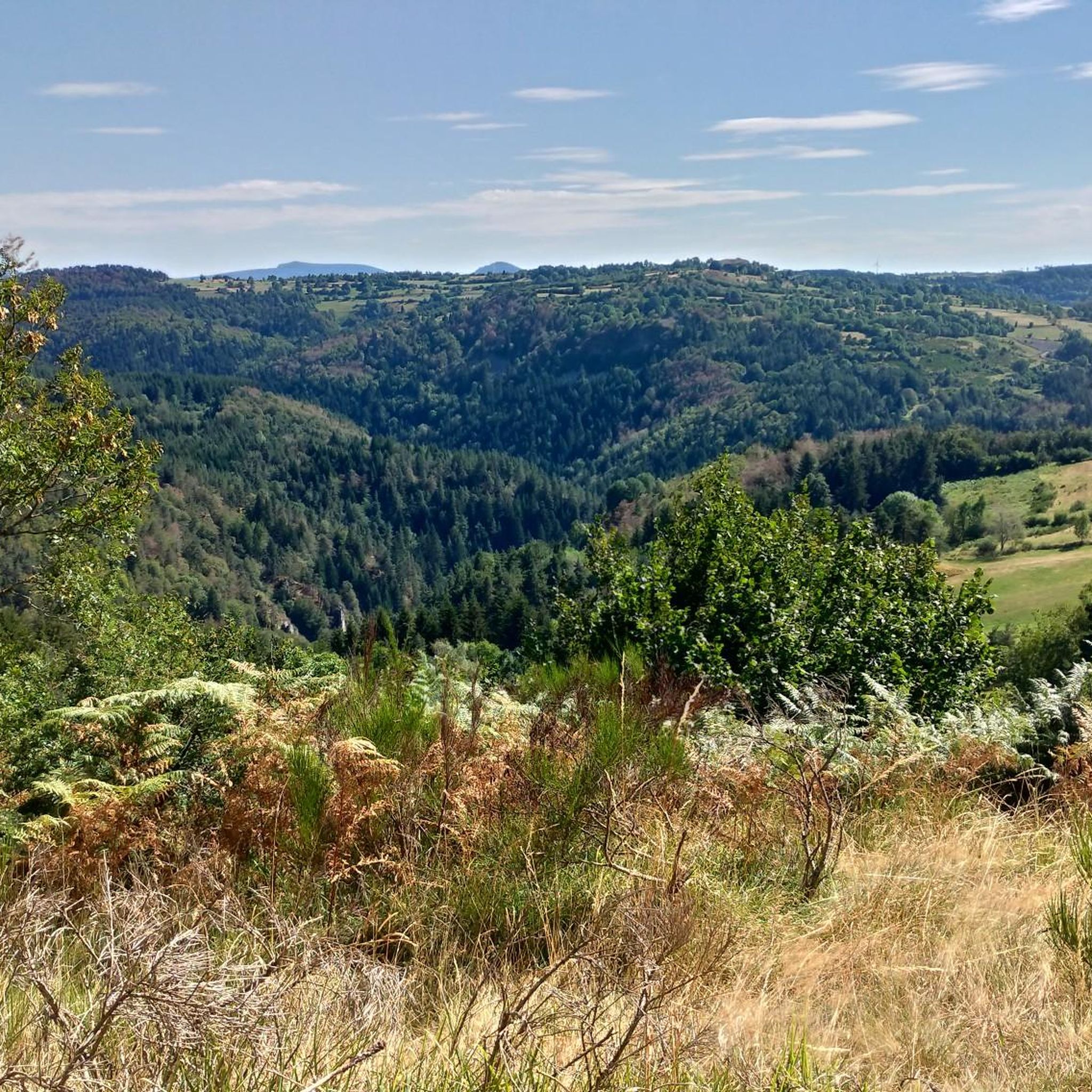
Gravel biking around Montusclat, located in the Haute-Loire department of France, offers diverse terrain shaped by its volcanic past. The region features varied elevations, basalt formations, and fertile plateaus, providing engaging climbs and descents. Montusclat itself sits at altitudes ranging from 832m to 1328m, with nearby Mont Mézenc reaching 1,753 meters. The landscape is further defined by gorges carved by the Loire and Allier rivers, alongside extensive forests and woodlands that offer shaded trails and varied riding surfaces.
Best gravel…
Last updated: July 12, 2026
3.0
(1)
3
riders
40.8km
03:16
720m
720m
Hard gravel ride. Very good fitness required. Mostly paved surfaces. Suitable for all skill levels.
4.0
(2)
2
riders
Hard gravel ride. Very good fitness required. Mostly paved surfaces. Suitable for all skill levels.

Sign up for free
1
riders
Hard gravel ride. Very good fitness required. You may need to push your bike for some segments of this route.
3
riders
45.4km
03:05
680m
680m
Hard gravel ride. Very good fitness required. Mostly paved surfaces. Suitable for all skill levels.
1
riders
32.0km
02:13
600m
600m
Hard gravel ride. Very good fitness required. Mostly paved surfaces. Suitable for all skill levels.
Our route recommendations are based on thousands of hikes, rides, and runs completed by other people on komoot.
Start today with a free account
Your next adventure awaits.
Login or Signup
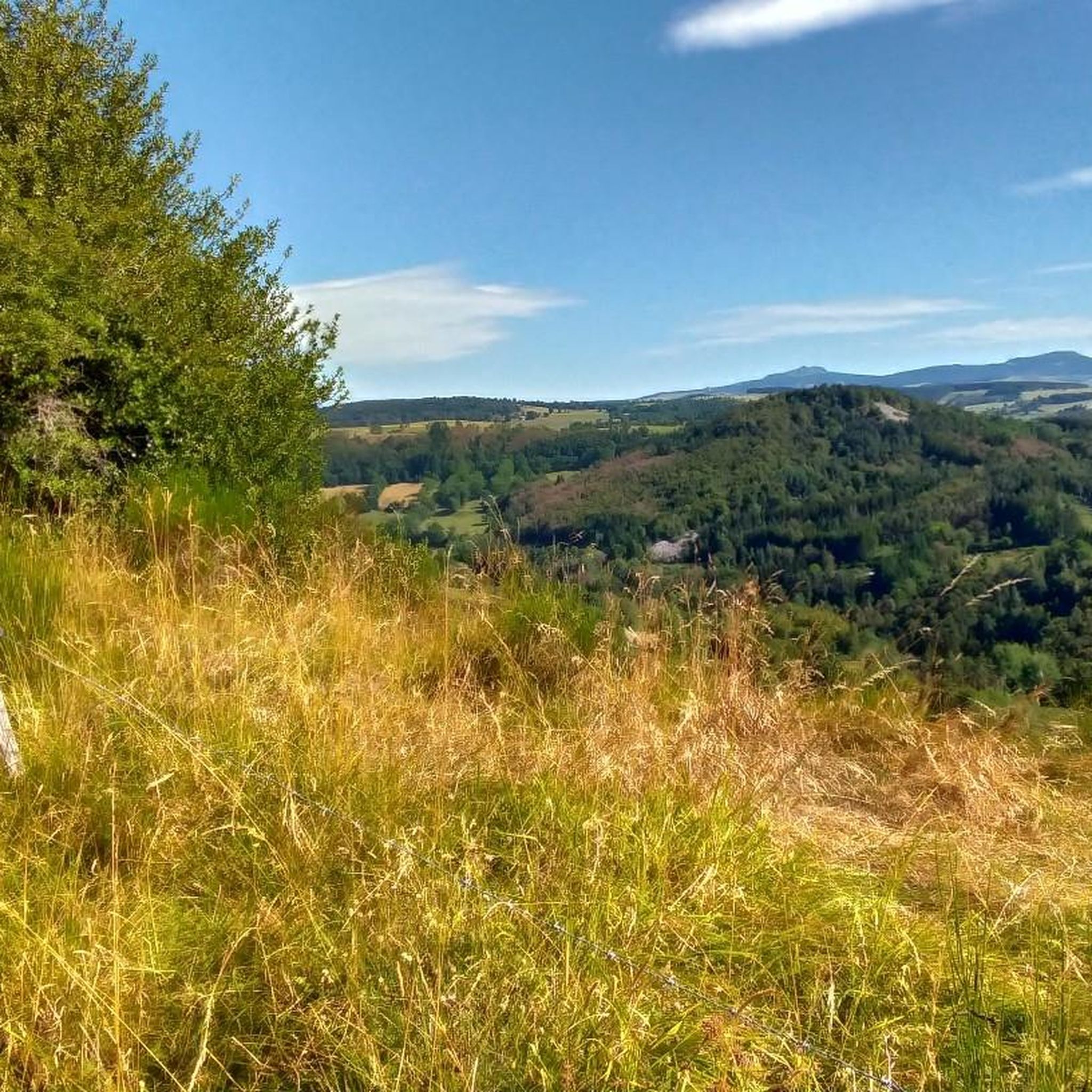
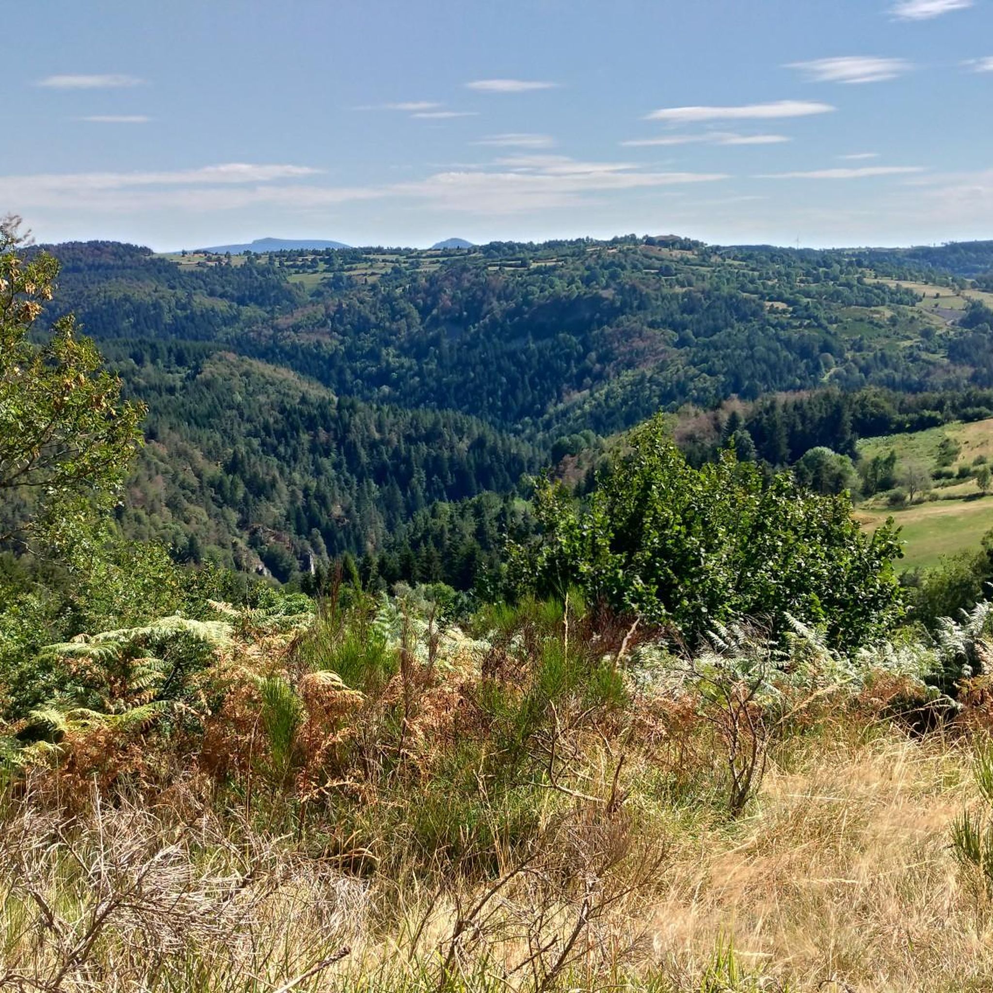
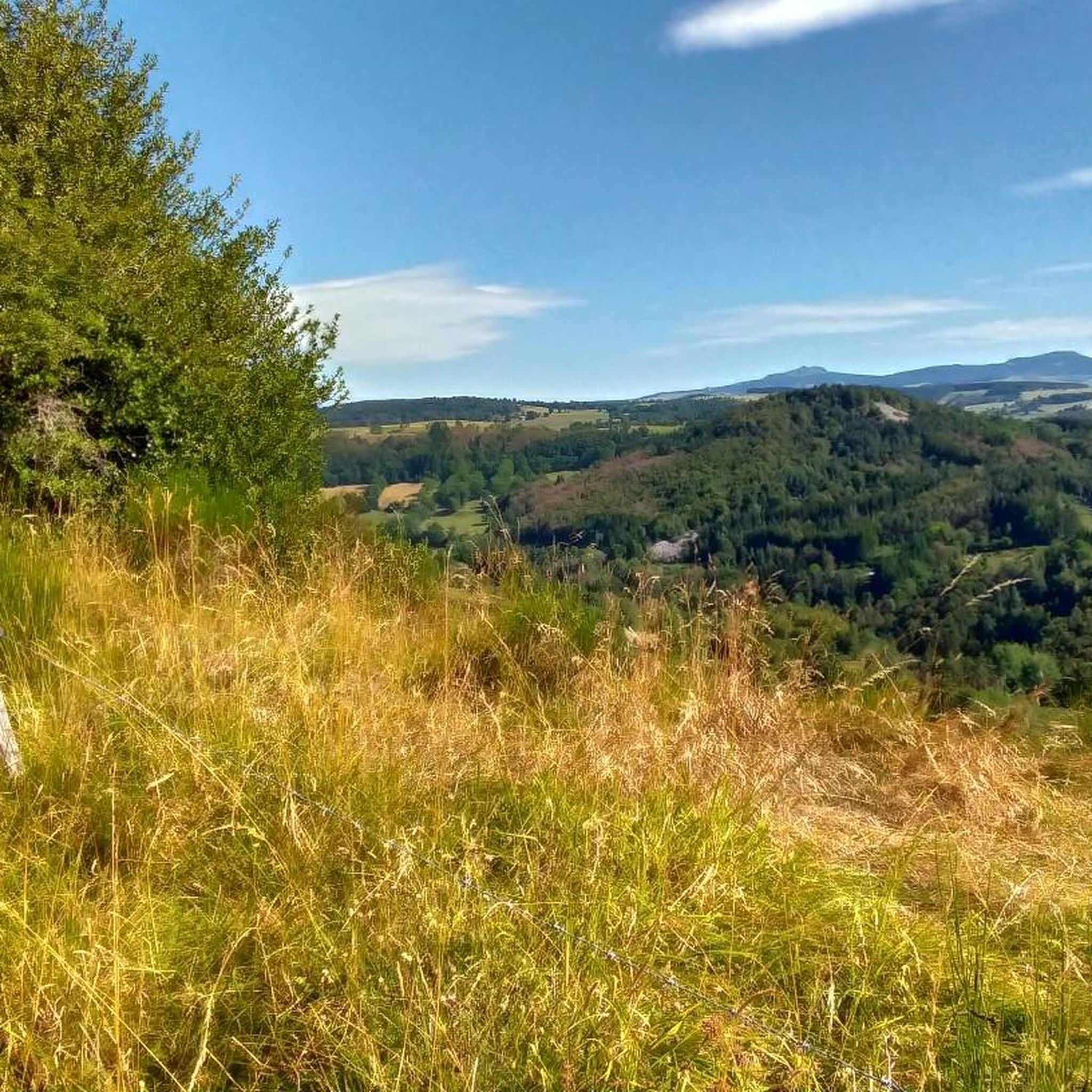
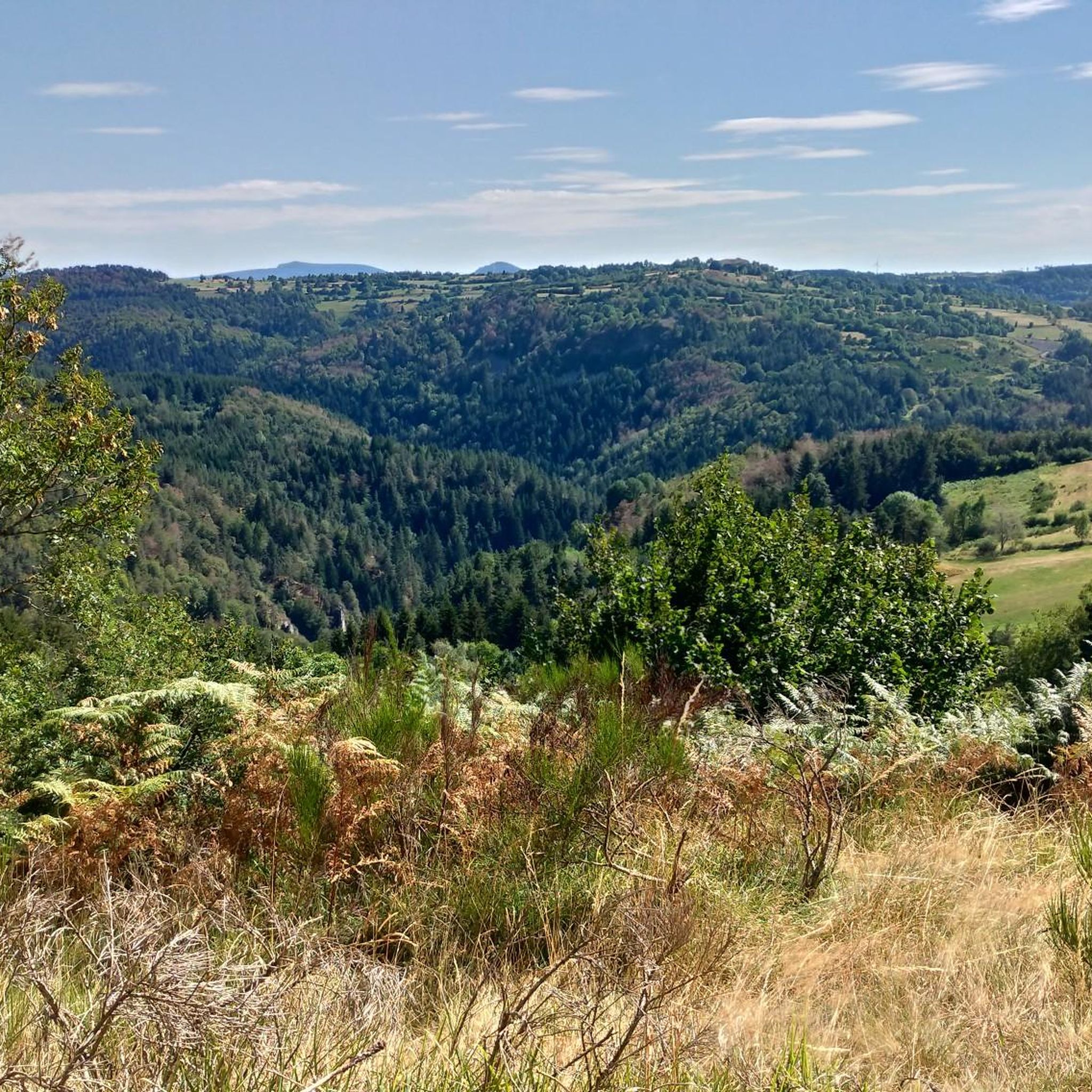
Tips from the Community

very good route for the tour of the lake or even for training for a first triathlon 🚴♂️
0
0

pretty flowers, pretty trees, pretty views, but what more could you ask for...oh yes, a windbreaker, because the mistral makes his grandmother cold.
0
0
The cross is a bit ugly but it is not for it that we come to frolic in these green lands but rather for this landscape that would make a Caribou pale.
0
0
landscape that would make a caribou pale
0
0


This stone bridge, once an important crossing, is now partly collapsed, but its still visible arches offer a fascinating spectacle. Walking around the ruins, one can admire the tranquil beauty of the river flowing below, surrounded by lush vegetation.
1
0

Beautiful reservoir, the level is low currently because repairs are underway until 2026, but otherwise, it's a little Canada!
0
0

The climb is rewarded with a beautiful view.
0
0
Frequently Asked Questions
What kind of terrain can I expect on gravel bike trails around Montusclat?
The Montusclat area, part of the Auvergne region, offers a diverse landscape shaped by its volcanic past. You'll encounter varied elevations, basalt formations, and fertile plateaus, providing a mix of engaging climbs and descents. The trails often feature extensive forests, woodlands, and wild gorges carved by the Loire and Allier rivers, ensuring a rich variety of unpaved roads and tracks suitable for gravel biking.
Are there any easy gravel bike trails for beginners or families in Montusclat?
The gravel bike routes listed for Montusclat are generally rated as difficult, featuring significant elevation changes and challenging terrain. For families or beginners seeking easier options, it's advisable to look for dedicated greenways or less technical sections within the broader Haute-Loire department, which offers extensive trail networks. Always check the route details on komoot for specific difficulty ratings before heading out.
What are some notable natural features or landmarks I can see along the gravel bike routes?
Montusclat's volcanic and mountainous terrain offers several striking natural features. You might encounter the unique basalt formations like the Basalt organ of Queyrières, or the dramatic Cascade de la Beaume waterfall. The region also features volcanic peaks such as the Queyrières volcano and the Suc de Chapteuil, offering panoramic views. The Lac de Saint-Front is another beautiful natural highlight.
What do other gravel bikers say about the trails in Montusclat?
The gravel bike trails around Montusclat are highly regarded by the komoot community, with an average rating of 4.3 stars from 3 reviews. Over 19 gravel bikers have already explored this varied terrain using komoot, often praising the challenging options and significant elevation changes that define the region's routes.
Are there any circular gravel bike routes available?
Yes, many of the gravel bike routes around Montusclat are designed as circular loops. For example, you can explore the Lake Lavalette – Lavalette Dam loop from Mazet-Saint-Voy, which takes you through scenic surroundings. Another option is the Boutières Cross Pass – Col de la Croix de Boutières loop from Fay-sur-Lignon, traversing mountain passes. The Loire view – Caves of the Route d'Aunac loop from Le Monastier-sur-Gazeille also offers a circular journey through dramatic river gorges.
What is the best time of year to go gravel biking in Montusclat?
Given Montusclat's altitude (832m to 1328m) and mountainous environment, the best time for gravel biking is typically from late spring to early autumn (May to October). During these months, the weather is generally milder, and trails are less likely to be affected by snow or ice, especially at higher elevations. Always check local weather forecasts before your ride.
Are there options for longer, more challenging gravel bike tours in the area?
Absolutely. The gravel biking around Montusclat is characterized by challenging options and significant elevation changes. Routes like the Loire view – Caves of the Route d'Aunac loop from Le Monastier-sur-Gazeille, at 42.7 km with nearly 1000m of elevation gain, offer a substantial challenge. The region's volcanic and mountainous terrain ensures that experienced riders seeking demanding ascents and descents will find plenty to explore.
Can I bring my dog on the gravel bike trails around Montusclat?
While the region is generally very dog-friendly for outdoor activities like hiking, specific regulations for dogs on gravel bike trails can vary. It's always best to check local signage or official park guidelines for any restrictions, especially in protected natural areas. Ensure your dog is well-behaved, on a leash where required, and that you carry water for them.
Are there any specific viewpoints or panoramic spots along the routes?
Yes, Montusclat itself boasts a superb 360° panoramic view from its summit. Many routes in the Haute-Loire, especially those traversing mountain passes or volcanic peaks like Mont Mézenc, offer breathtaking vistas. Keep an eye out for highlights marked as 'viewpoints' on komoot maps, such as the View from the cross, which often provide stunning scenic breaks.
What is the average length and duration of gravel bike trails near Montusclat?
The gravel bike trails in this area vary in length, but many are substantial. For instance, the Lake Lavalette – Lavalette Dam loop from Mazet-Saint-Voy is 40.8 km and takes nearly 4 hours. Another, the Maison forte – Mont d'alambre loop from Moudeyres, is 31.8 km and typically takes around 2 hours 38 minutes. Expect routes to range from approximately 23 km to over 40 km, with durations from 2.5 to 4 hours, depending on your pace and the elevation.
Is there parking available at the trailheads for gravel biking?
While specific parking information for every trailhead isn't detailed, Montusclat and surrounding villages like Mazet-Saint-Voy, Fay-sur-Lignon, and Le Monastier-sur-Gazeille are generally equipped with public parking areas. As a rural region, you can often find suitable parking in or near the starting points of routes. It's always a good idea to check the komoot tour details or satellite maps for potential parking spots near your chosen starting point.
Are there any places to eat or stay near the gravel bike trails in Montusclat?
Montusclat and the surrounding villages in Haute-Loire offer various options for accommodation and dining. You can find local restaurants and cafes in towns like Le Monastier-sur-Gazeille or Fay-sur-Lignon, which serve as starting points for several routes. For accommodation, there are guesthouses, B&Bs, and small hotels in the wider region, catering to visitors seeking a tranquil outdoor experience.
Most popular attractions around Montusclat

Get inspired with the komoot mobile app


Explore more
Browse the best Gravel rides in other regions.
