The best walks and hikes around Chilly
4.7
(6)
22
hikers
4
hikes
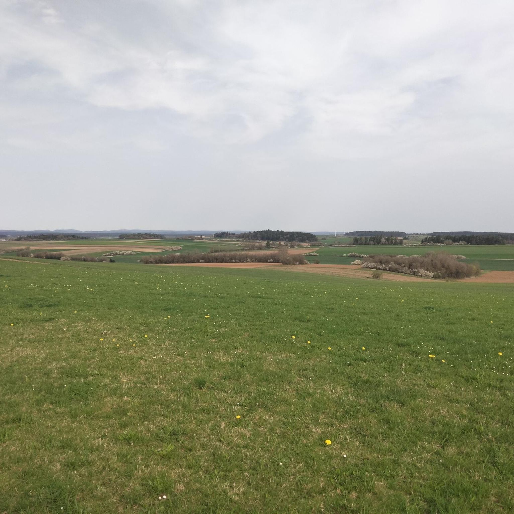
Hiking around Chilly offers routes through a landscape characterized by woodlands and gently undulating terrain. The area features a network of paths that traverse rural settings, often passing through agricultural fields and small hamlets. Elevations are generally low, making for accessible hiking experiences.
Best hiking trails around Chilly
- The most popular hiking route is Bois de la Carnaude – Bois de Liancourt loop from Liancourt-Fosse, a 5.2 miles (8.4 km) trail that takes 2 hours 9 minutes to complete.…
Last updated: June 29, 2026
4.5
(2)
6
hikers
8.37km
02:09
40m
40m
Moderate hike. Good fitness required. Easily-accessible paths. Suitable for all skill levels.
4
hikers
5.46km
01:23
10m
10m
Easy hike. Great for any fitness level. Easily-accessible paths. Suitable for all skill levels.

Sign up for free
5.0
(2)
6
hikers
13.2km
03:26
90m
90m
Moderate hike. Good fitness required. Easily-accessible paths. Suitable for all skill levels.
4.5
(2)
2
hikers
10.6km
02:45
60m
60m
Moderate hike. Good fitness required. Easily-accessible paths. Suitable for all skill levels.
4
hikers
7.89km
02:03
50m
50m
Moderate hike. Good fitness required. Easily-accessible paths. Suitable for all skill levels.
Our route recommendations are based on thousands of hikes, rides, and runs completed by other people on komoot.
Start today with a free account
Your next adventure awaits.
Login or Signup




Tips from the Community

The only place where you can eat or drink for miles around. Located on the edge of the V30, filling your water bottles and recharging all kinds of batteries is free. Culinarily, Pakistani flavors make you want to come back. And the icing on the semolina cake, everything is homemade. Finally, the operators are at the top of sympathy.
3
0
Frequently Asked Questions
What kind of terrain can I expect on hiking trails around Chilly?
Hiking around Chilly primarily features routes through woodlands and gently undulating terrain. You'll often find paths traversing rural settings, agricultural fields, and small hamlets. The elevations are generally low, making for accessible hiking experiences.
How many hiking trails are available in Chilly, and what are their difficulty levels?
There are 6 hiking routes available around Chilly. The network offers options for different ability levels, with 2 easy walks and 4 moderate hikes. There are no difficult trails in this immediate area.
Are there any easy hiking routes suitable for beginners in Chilly?
Yes, Chilly offers easy routes perfect for beginners. An excellent option is the Bunker Remains loop from Méharicourt, an easy 5.4 km path that explores historical points of interest and open countryside.
Are there any circular walks available in Chilly?
Yes, all the listed routes around Chilly are circular walks. For example, you can enjoy the Bois de la Carnaude – Bois de Liancourt loop from Liancourt-Fosse, a moderate 8.4 km trail through local woodlands and rural paths.
What do other hikers enjoy most about the trails in Chilly?
The trails in Chilly are highly rated by the komoot community, with an average score of 4.7 stars. Hikers often praise the quiet woodlands, open fields, and gentle hills that define the area, making for pleasant and accessible outdoor experiences.
What is the longest hiking trail available in Chilly?
The longest hiking trail in the area is the Park Bench – Castany loop from Roye. This moderate route spans 13.2 km and typically takes about 3 hours 26 minutes to complete, leading through agricultural fields and small hamlets.
Are there any hikes that offer historical points of interest in Chilly?
Yes, the Bunker Remains loop from Méharicourt is an easy 5.4 km trail specifically designed to explore historical points of interest within the open countryside around Chilly.
What is a good moderate hike for someone looking for a longer walk in Chilly?
For a moderate and longer walk, consider the Pizza Tasty loop from Marchélepot-Misery. This route is 10.6 km long and typically takes around 2 hours 45 minutes, offering a good balance of distance and manageable difficulty.
What is the typical duration for hikes in Chilly?
Hikes in Chilly vary in duration depending on the route and your pace. Easy trails like the Bunker Remains loop can be completed in about 1 hour 22 minutes, while longer moderate routes such as the Park Bench – Castany loop may take up to 3 hours 26 minutes.
Are there any routes that specifically go through woodlands in Chilly?
Yes, several routes feature woodlands. The Bois de Liancourt – Bois de la Carnaude loop from Étalon is a moderate 7.9 km trail that takes you through local woodlands, offering a pleasant forest experience.
What are the general elevation changes like on trails in Chilly?
The trails around Chilly are characterized by generally low elevations and gentle undulations. Most routes have minimal elevation gain and loss, typically ranging from 10 to 90 meters, making them accessible for a wide range of hikers.

Get inspired with the komoot mobile app


Explore more
Browse the best Hikes in other regions.
