Top 20 Mountain Passes around Obsteig
Mountain passes around Obsteig, a municipality on the Mieming Plateau in Tyrol, Austria, provide access to alpine landscapes. This region is characterized by its elevated terrain and natural features, including extensive larch meadows and mountain peaks. Obsteig serves as a starting point for exploring various high-altitude destinations and historical routes. The area offers diverse experiences for those seeking mountain environments.
Best mountain passes around Obsteig
- The most popular mountain passes is Gatterl Border Crossing, a mountain_pass that is a…
Last updated: September 29, 2026
Gatterl Border Crossing
Highlight • Mountain Pass
Translated by Google •
Tip by

Fernpass Trail
Highlight (Segment) • Trail
Translated by Google •
Tip by

Sign up now to discover places like this
Get recommendations on the best single tracks, peaks, & plenty of other exciting outdoor places.
Max-Klotz Trail
Highlight (Segment) • Trail
Translated by Google •
Tip by

Roman path near Fernsteinsee Castle
Highlight • Trail
Translated by Google •
Tip by

Zugspitze Plateau
Highlight • Viewpoint
Translated by Google •
Tip by

Sign up for free to discover even more mountain passes around Obsteig.
Already have an account?
Start today with a free account
Your next adventure awaits.
Popular around Obsteig
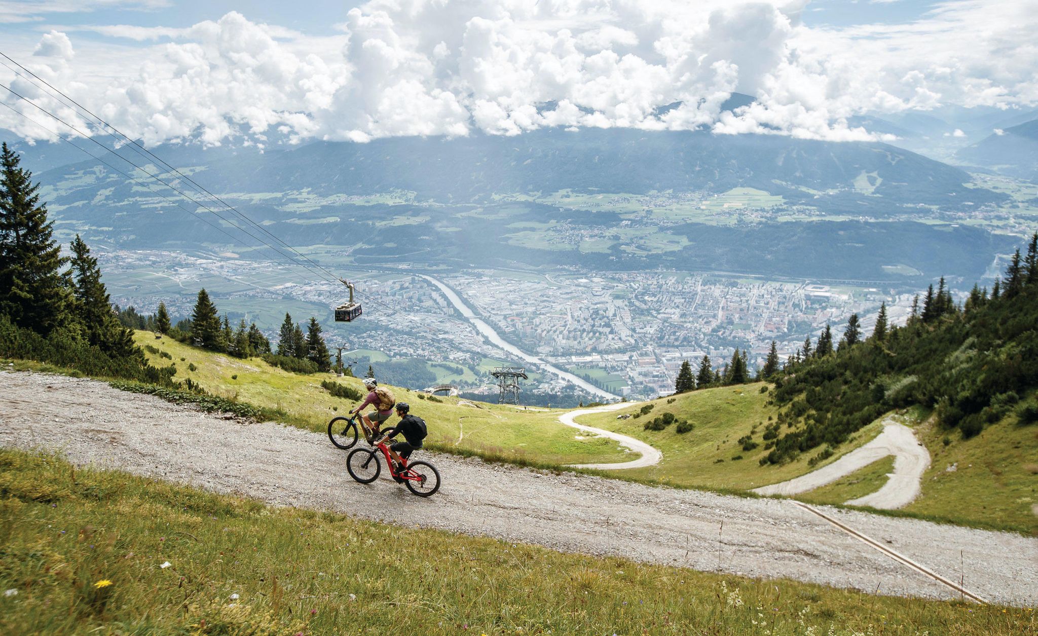
Get out of the city, get on the trail — welcome to Innsbruck!
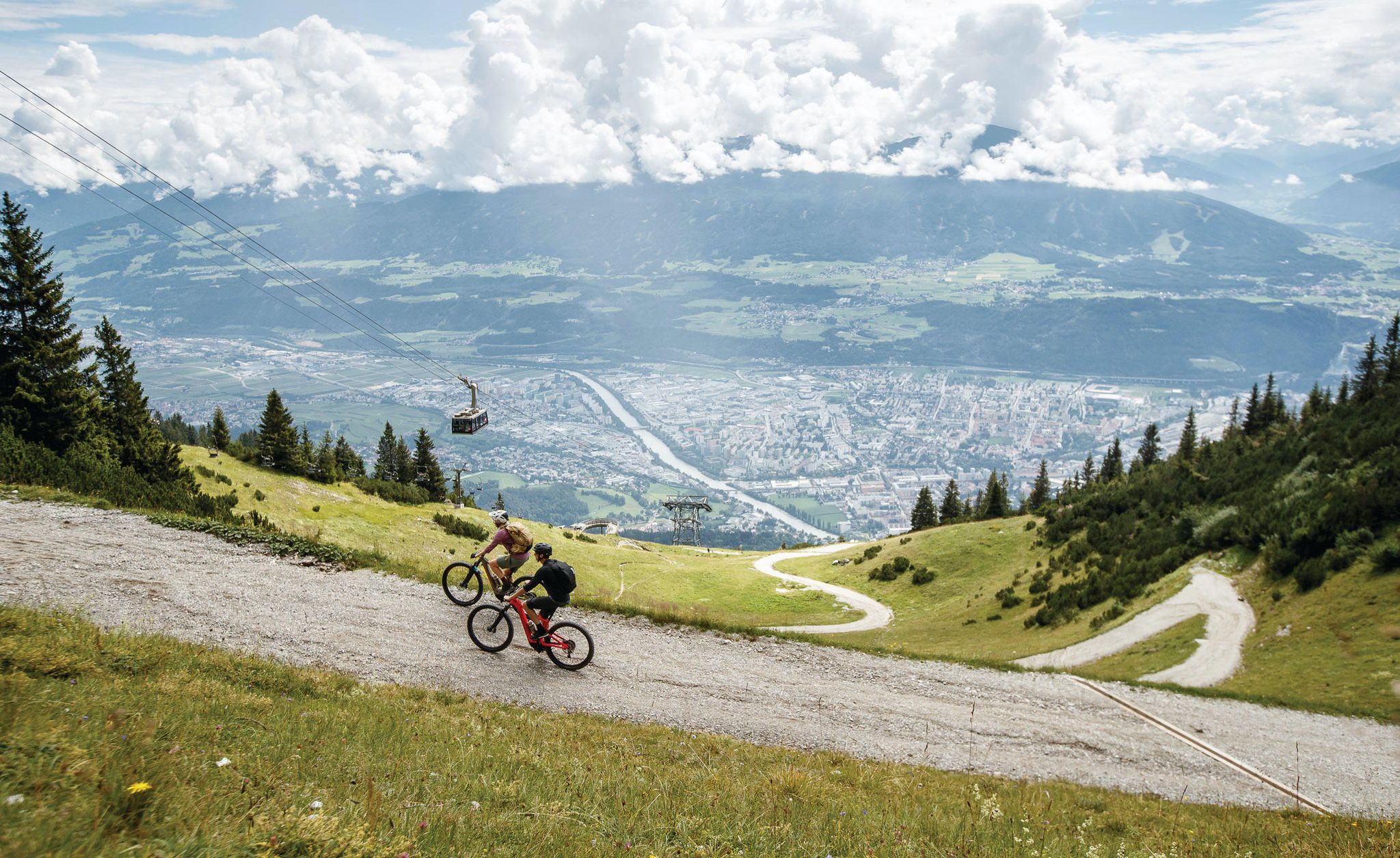
Dream trails as far as your tires will take you — biking in Innsbruck!
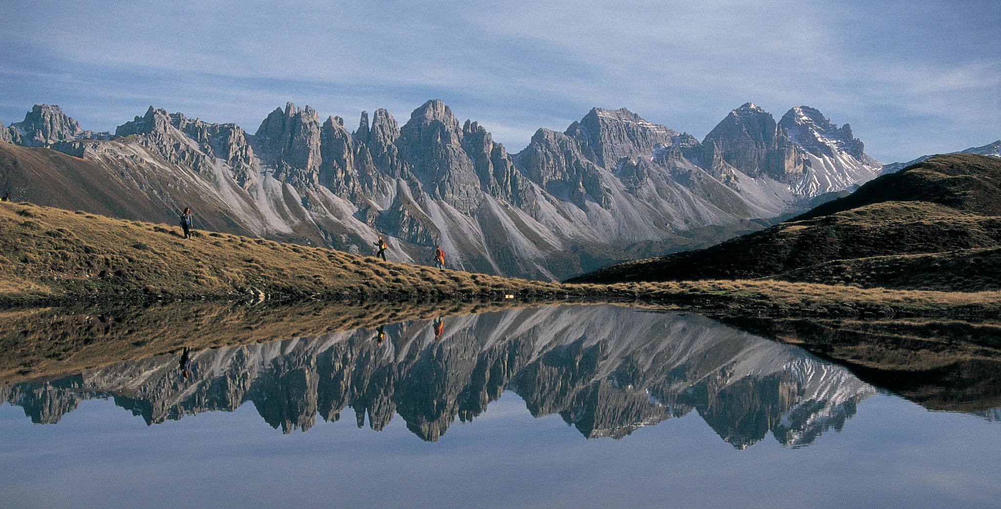
Leaving the city & up into the mountains – hiking around Innsbruck
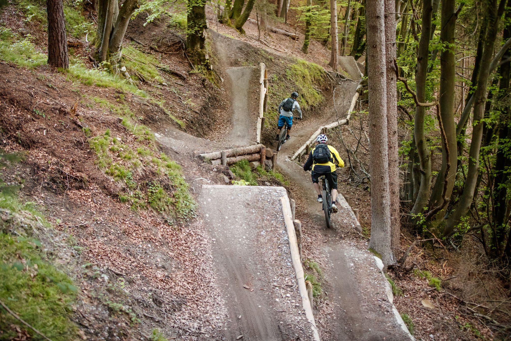
Get out of the city, get on the trail — welcome to Innsbruck!
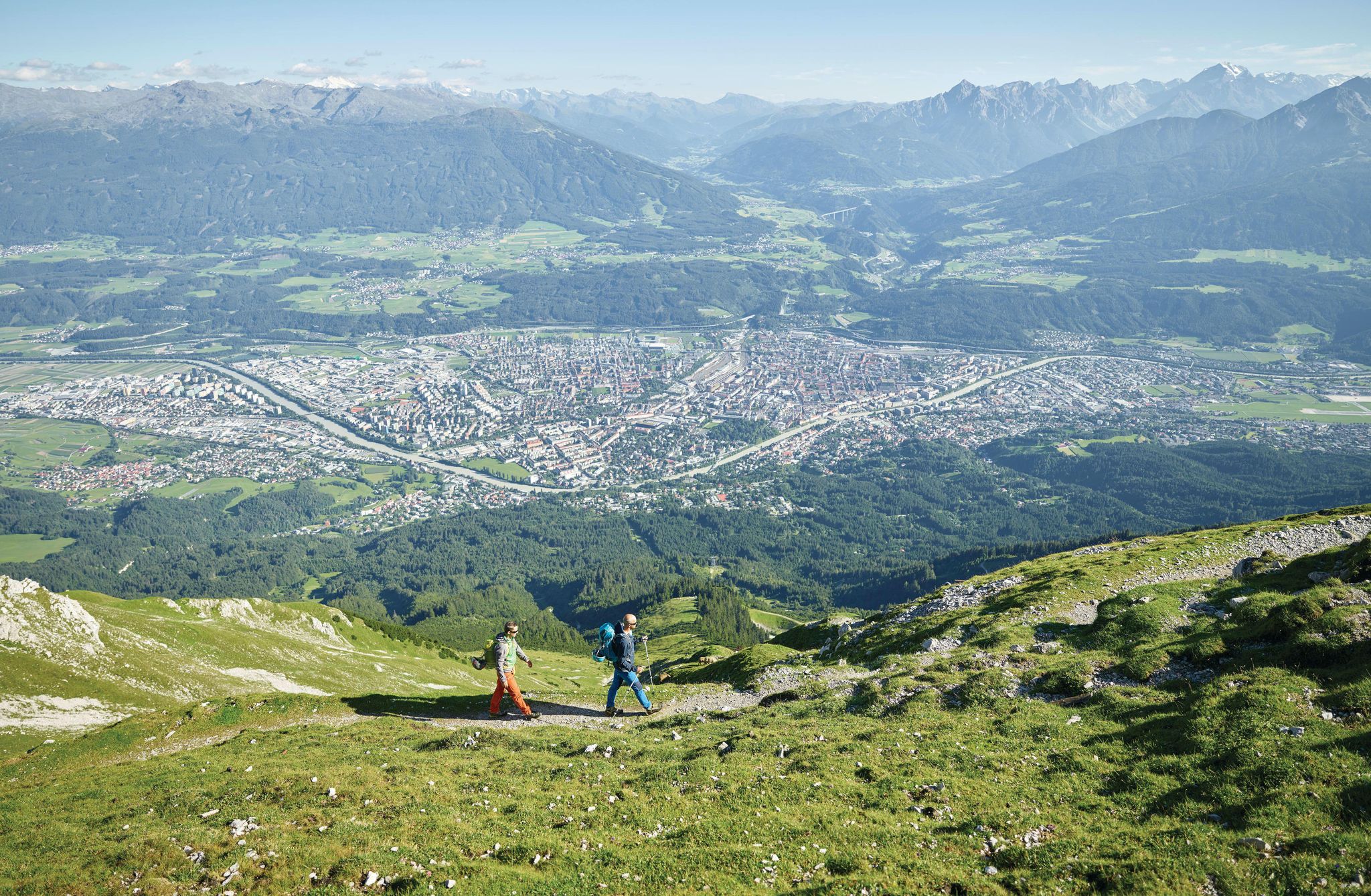
High mountains and city life – unique hiking experiences around Innsbruck
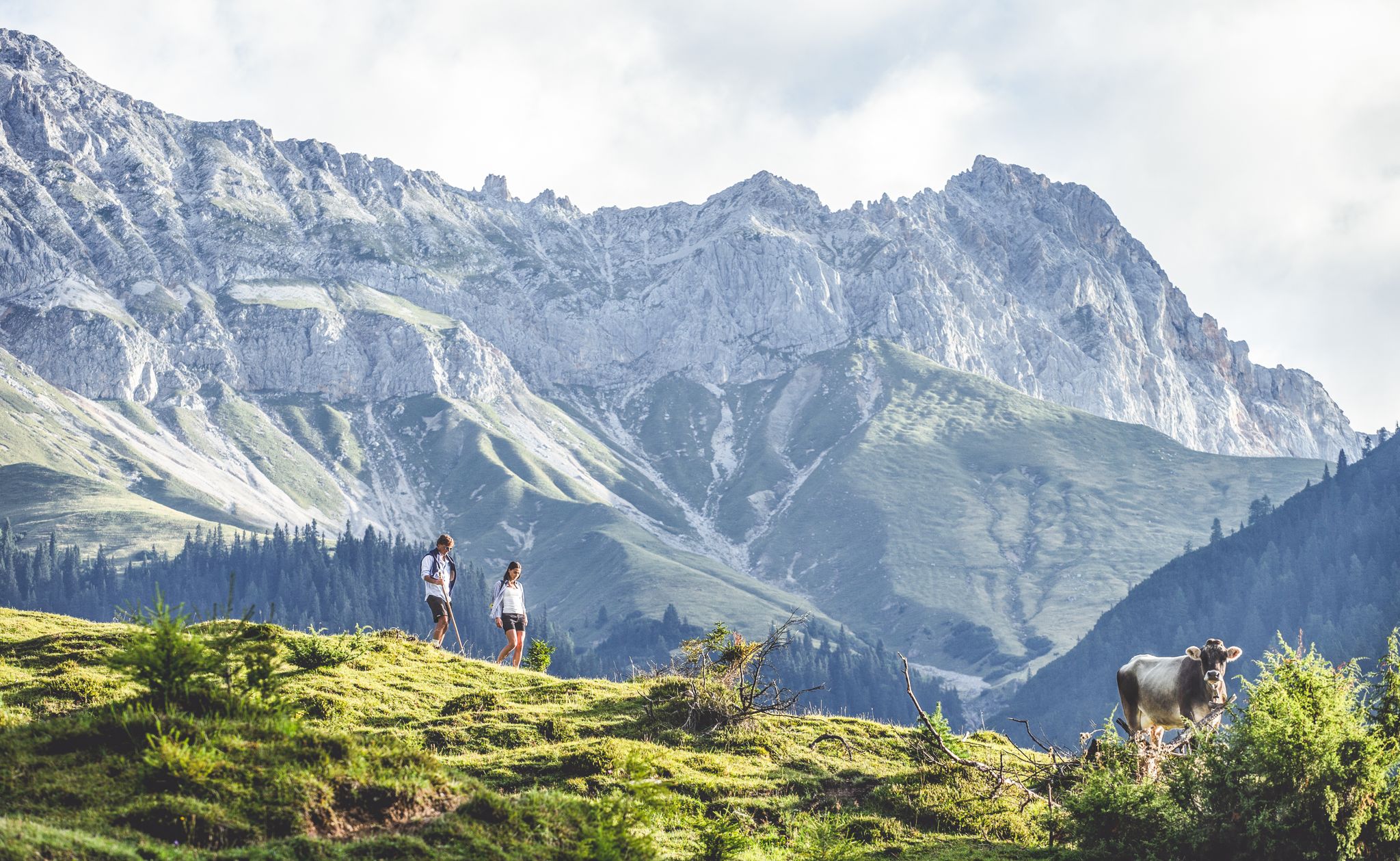
Alpine idyll & summit adventures – hiking holidays in Tyrol
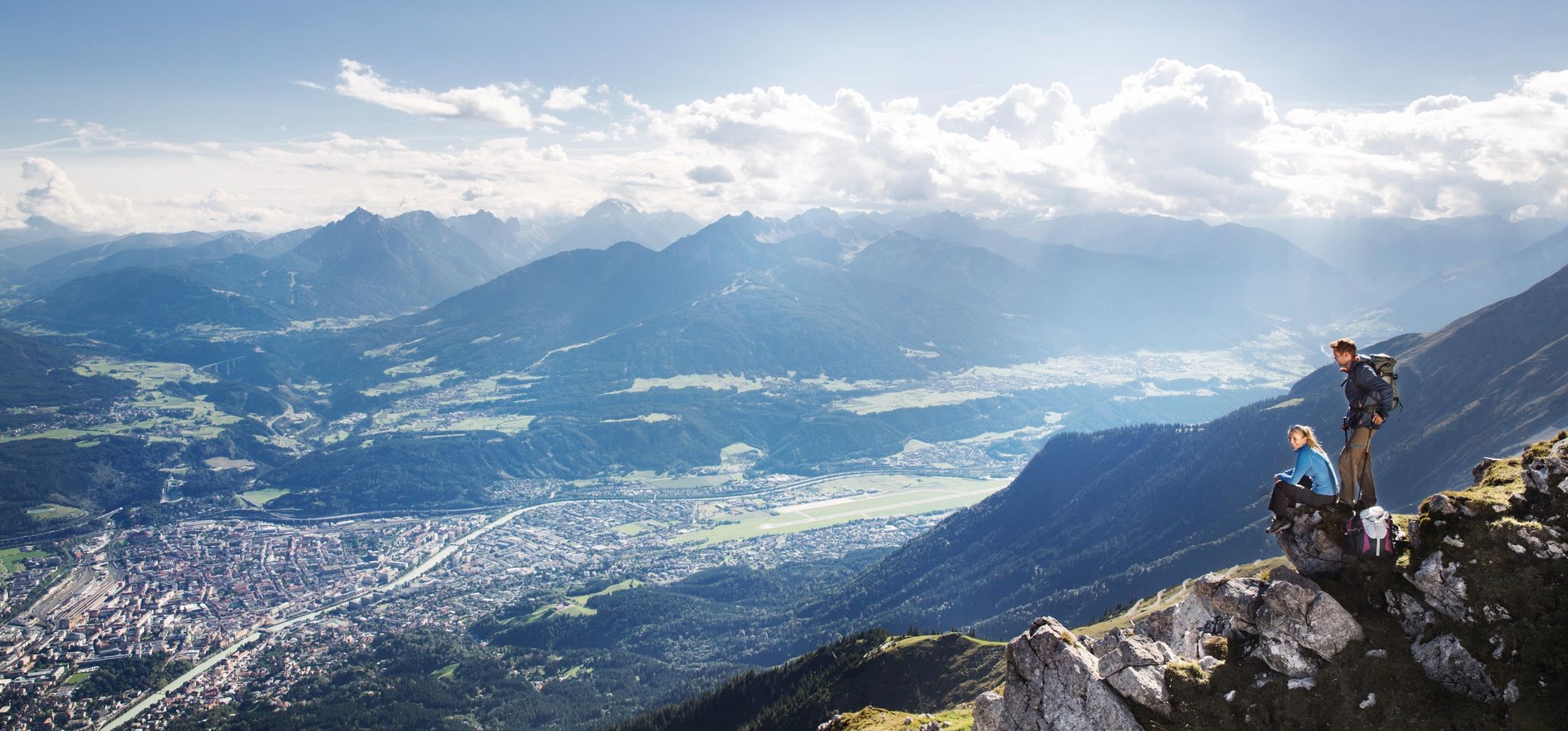
De stad uit, de bergen in – Wandelen rond Innsbruck
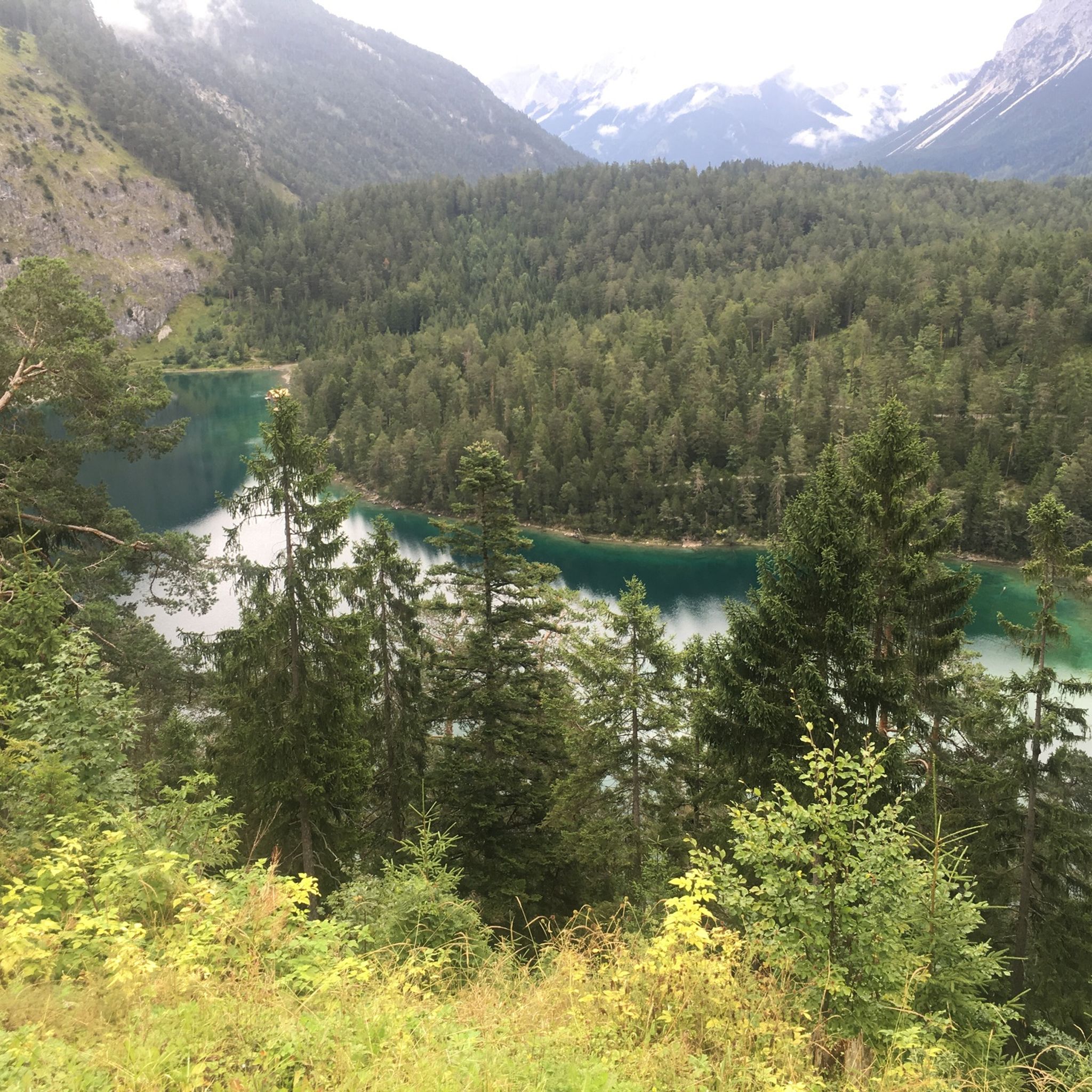
Hiking around Obsteig
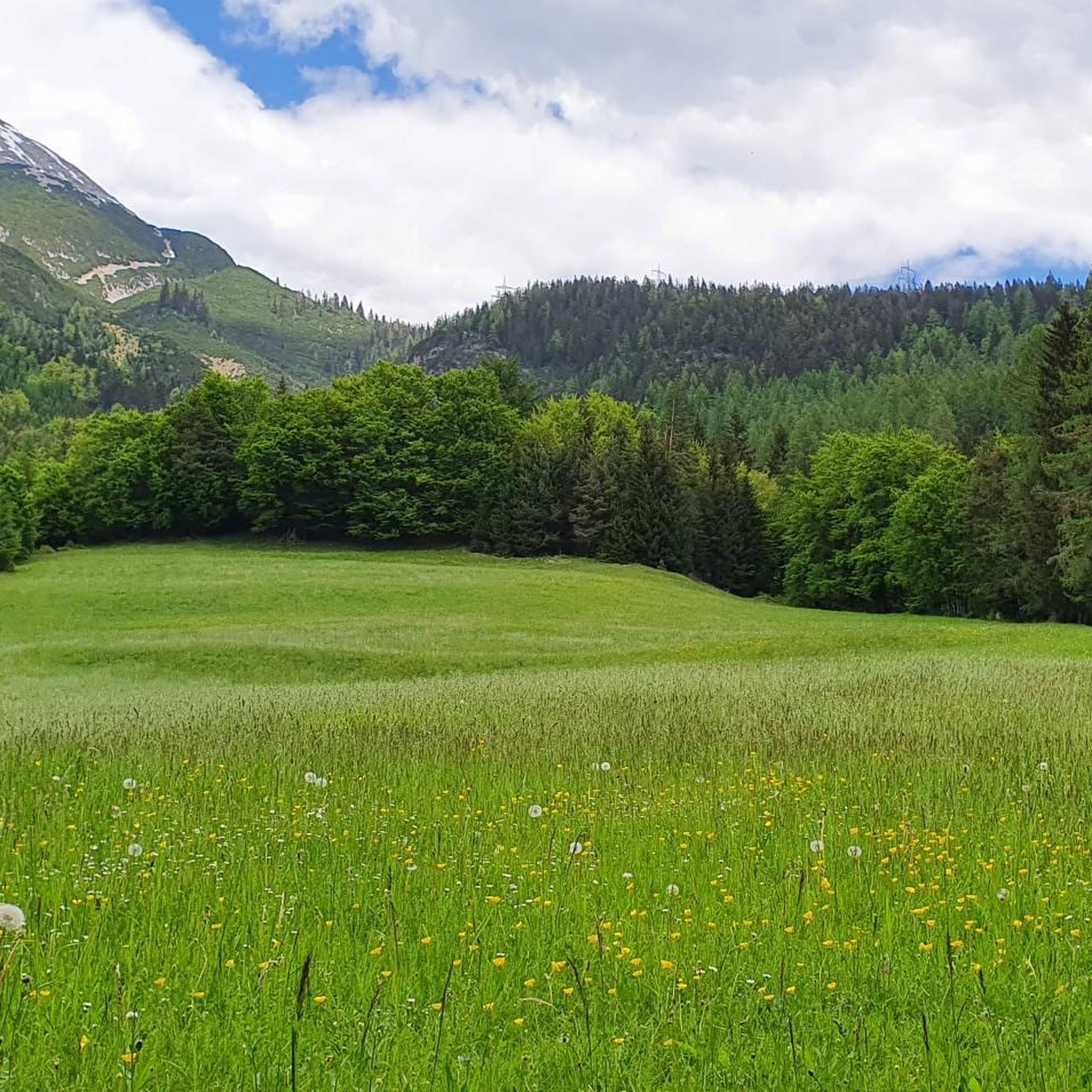
MTB Trails around Obsteig
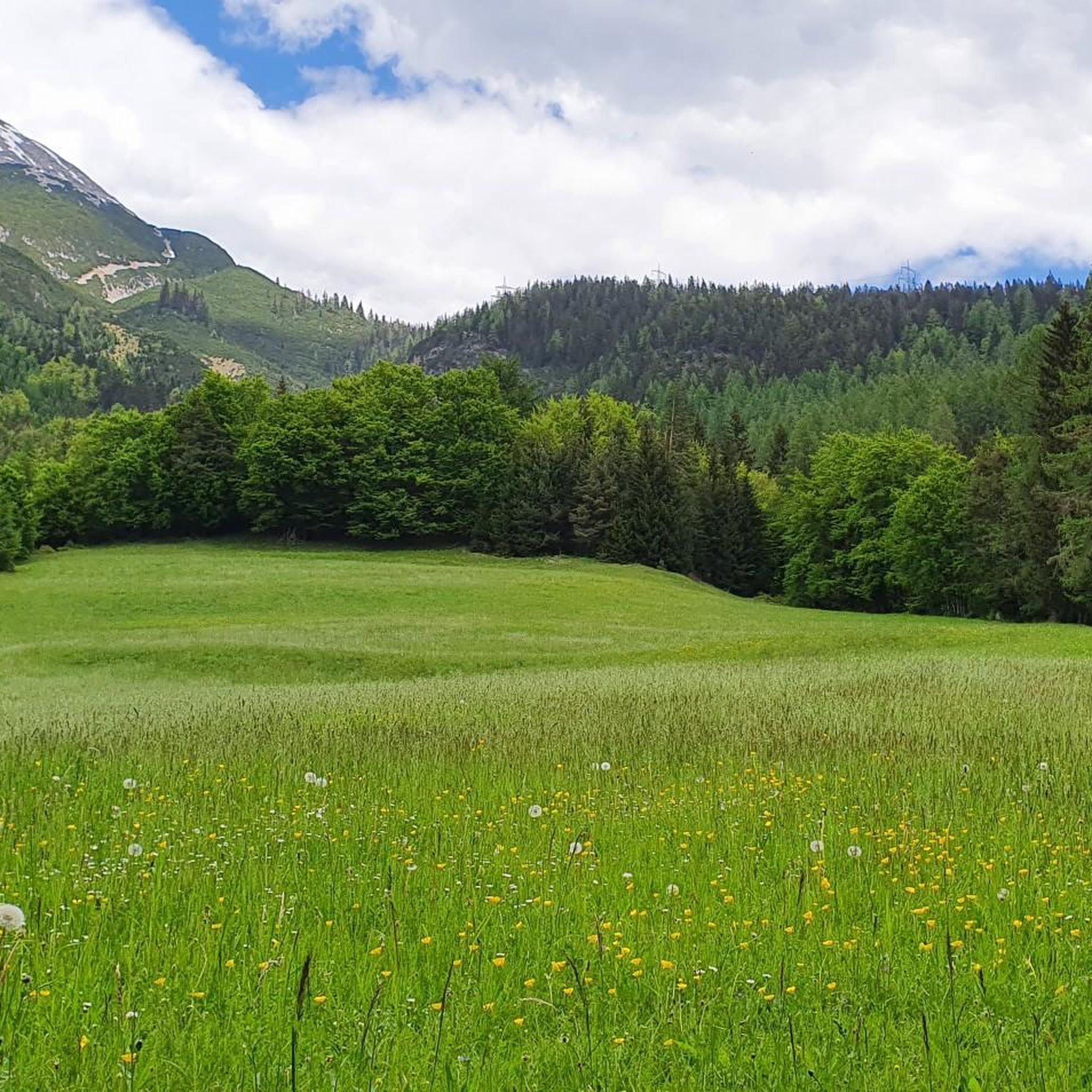
Road Cycling Routes around Obsteig
Other adventures around Obsteig


Tips from the Community

We also drove up the pass with luggage. The path was quite difficult to navigate due to the loose gravel. Especially since most of the people were coming towards us, it was very narrow. Definitely not for beginners.
3
0

The cycle path leads through the middle of the castle
14
2

Crossing the Fernpass is a challenge for touring cyclists with luggage, not least because of the gravel paths.
6
2

Great paths in a beautiful landscape.
6
0

The Zugspitzplatt can be visited by descending the dangerous scree slope, or with the Gletscherbahn, which runs between the Zugspitze and the Kaarst landscape almost 400 meters below, from which the cog railway then continues to Garmisch.
9
1

But this is NOT FOR INEXPERIENCED cyclists with thick panniers. Think carefully about what you dare!
6
2

A highlight of our tour for me. Beautiful path with fantastic views. However, it requires a certain level of fitness.
4
0

Frequently Asked Questions
What natural features and viewpoints can I expect to see around the mountain passes near Obsteig?
The region offers diverse natural beauty. For instance, the Gatterl Border Crossing provides stunning views of the Reintal, the Zugspitze, and surrounding mountain ranges. The Fernpass Trail offers picturesque views of Fernsteinsee and Fernstein Castle. Additionally, the Holzleiten Pass is known for its extensive larch meadows, a designated natural protected area, with views towards the Acherkogel mountain. The Marienbergjoch, a high-altitude destination, rewards visitors with unparalleled views of the Inn Valley.
Are there historical routes or sites among the mountain passes?
Yes, several passes are steeped in history. The Fernpass Trail is part of the ancient Via Claudia Augusta, where you can still see traces of old Roman wagon wheels. Similarly, the Roman path near Fernsteinsee Castle is another section of the Via Claudia Augusta, offering a challenging route with historical significance.
What outdoor activities can I do near the mountain passes around Obsteig?
Beyond exploring the passes themselves, the area around Obsteig is excellent for various outdoor activities. You can find numerous hiking routes, such as the challenging 'Lehnberghaus – View of the Grünsteinscharte loop' or the moderate 'Mieminger Hohlweg – View of the Mieminger Plateau loop'. For cyclists, there are road cycling routes like the 'Paved Forest Cycle Path – Climb to Holzleiten loop' and touring bicycle routes like the 'View of the Mieminger Kette – Stams Abbey loop'. You can explore more options on the Hiking around Obsteig, Road Cycling Routes around Obsteig, and Cycling around Obsteig guide pages.
What are the difficulty levels of the mountain passes and nearby trails?
The difficulty varies. Some routes, like the Roman path near Fernsteinsee Castle, are considered challenging due to gravel and washed-out sections. The Marienbergjoch also offers a demanding hike. However, there are also intermediate options, such as the Ascent to Fern Pass, which is described as a nice section with little challenge to the condition. Always check specific route details for the most accurate difficulty assessment.
When is the best time of year to visit the mountain passes near Obsteig?
The best time to visit for hiking and cycling is generally during the warmer months, from late spring to early autumn, when trails are clear of snow and weather conditions are more stable. This allows for full enjoyment of the alpine landscapes and outdoor activities. Winter can offer opportunities for winter hiking, but conditions will be more challenging and require appropriate gear.
Are there any family-friendly options or easy mountain pass hikes around Obsteig?
While some passes offer challenging terrain, the Holzleiten Pass, with its accessible elevation of 1,129 meters and beautiful larch meadows, can be a good option for families looking for a scenic excursion. For specific easy hikes, it's recommended to check local trail descriptions, as difficulty can be subjective. Many of the nearby hiking routes around Obsteig include moderate options, which might be suitable for families depending on their experience.
Can I access any of the mountain passes by car?
The Holzleiten Pass is located at an elevation of 1,129 meters and is generally accessible, making it a popular excursion destination. While the Marienbergjoch offers a pass-like experience, the route to its summit is typically a demanding hike starting from a car park. For other passes, access might involve driving to a trailhead and then continuing on foot or by bike.
What do visitors enjoy most about the mountain passes around Obsteig?
Visitors frequently praise the breathtaking views and the sense of accomplishment. For example, the Gatterl Border Crossing is highlighted for its 'great view of the Reintal, the Zugspitze and the surrounding mountain ranges.' The Ascent to Fern Pass is appreciated for its 'fabulous vantage point over the Fern Pass and the surrounding peaks.' The historical aspect of the Roman paths and the natural beauty of areas like the larch meadows at Holzleiten Pass are also highly valued.
Are there facilities like cafes or pubs near the mountain passes?
While specific facilities directly on every pass might be limited, the region around Obsteig and its trailheads often provide options. For instance, the Marienbergjoch route includes the Marienbergalm snack station. The Zugspitze Plateau features a 'great restaurant at 2600m altitude.' You can also find cafes, pubs, and accommodation in the municipality of Obsteig itself and in nearby villages, which serve as starting points for exploring the passes.
What kind of flora and fauna can I observe in the mountain pass region?
The region is rich in alpine flora, particularly notable are the extensive larch meadows at the Holzleiten Pass, which are a protected natural area. These meadows offer a unique ecological environment. While specific wildlife sightings are not guaranteed, alpine regions are home to various birds, small mammals, and insects. Observing the natural landscape and its plant life is a significant part of the experience.
Is public transport available to reach trailheads for the mountain passes?
Obsteig is a municipality on the Mieming Plateau, and while specific public transport links directly to every remote trailhead might vary, the region generally offers options to reach starting points. It's advisable to check local bus schedules or regional transport services from Obsteig to access various hiking and cycling routes that lead to the mountain passes. Some routes, like the Marienbergjoch, typically start from designated car parks that may also be accessible by public transport connections.
Most popular routes around Obsteig
Most popular attractions around Obsteig

Get inspired with the komoot mobile app


Explore more
See even more epic mountain passes by checking out these guides around Obsteig:
