The best walks and hikes around La Brousse
4.8
(3)
13
hikers
18
hikes
Hiking around La Brousse offers trails through a landscape characterized by woodlands, open fields, and gentle elevations. The region features a network of paths that traverse agricultural areas and small forests, often leading past local ponds or lakes. Elevation changes are generally modest, making many routes accessible. This area provides opportunities for exploring the rural French countryside on foot.
Best hiking trails around La Brousse
- The most popular hiking route is Bois de Vervant loop from Poursay-Garnaud, a 4.8 miles (7.7 km) trail that takes 1 hour 58 minutes to complete, winding through local woodlands.
- Another top favourite among local hikers is Tree that eats a sign loop from Les Touches-de-Périgny, an easy 4.2 miles (6.8 km) path that explores the rural surroundings.
- Local hikers also love the Chemin "rubik's cube®" – Étang de loisirs de Cachet loop from Les Touches-de-Périgny, an 8.2 miles (13.2 km) trail leading through open fields and past a leisure pond, often completed in about 3 hours 27 minutes.
- Hiking around La Brousse is defined by woodlands, open fields, and small ponds, with options for easy, moderate, and difficult routes. The network offers options for different ability levels.
- The routes in La Brousse are highly rated by the komoot community with an average score of 4.6 stars from 6 reviews. More than 10 hikers have used komoot to explore La Brousse's varied terrain.
Last updated: July 4, 2026
5
hikers
7.73km
01:58
20m
20m
Easy hike. Great for any fitness level. Easily-accessible paths. Suitable for all skill levels.
3
hikers
4.58km
01:11
20m
20m
Easy hike. Great for any fitness level. Easily-accessible paths. Suitable for all skill levels.

Sign up for free
5.0
(1)
1
hikers
6.82km
01:47
50m
50m
Easy hike. Great for any fitness level. Easily-accessible paths. Suitable for all skill levels.
4.5
(2)
2
hikers
Moderate hike. Good fitness required. Easily-accessible paths. Suitable for all skill levels.
2
hikers
7.07km
01:49
30m
30m
Easy hike. Great for any fitness level. Easily-accessible paths. Suitable for all skill levels.
Get access to more routes and recommendations from other explorers.
Sign up for free
Already have an account?
Our route recommendations are based on thousands of hikes, rides, and runs completed by other people on komoot.
Start today with a free account
Your next adventure awaits.
Login or Signup
Popular around La Brousse
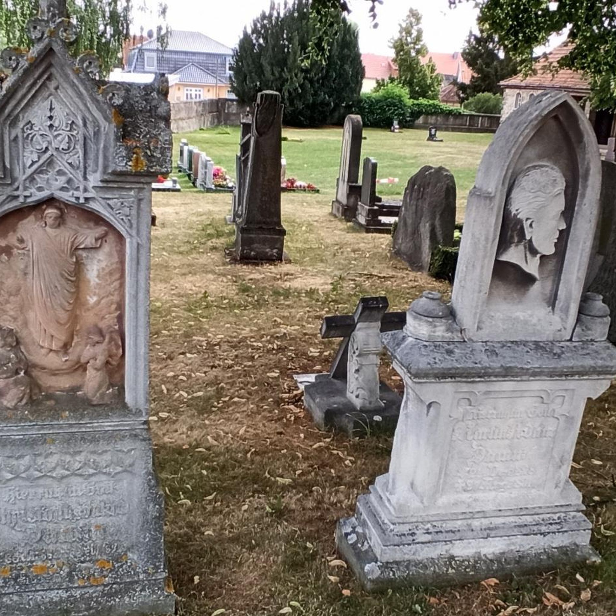
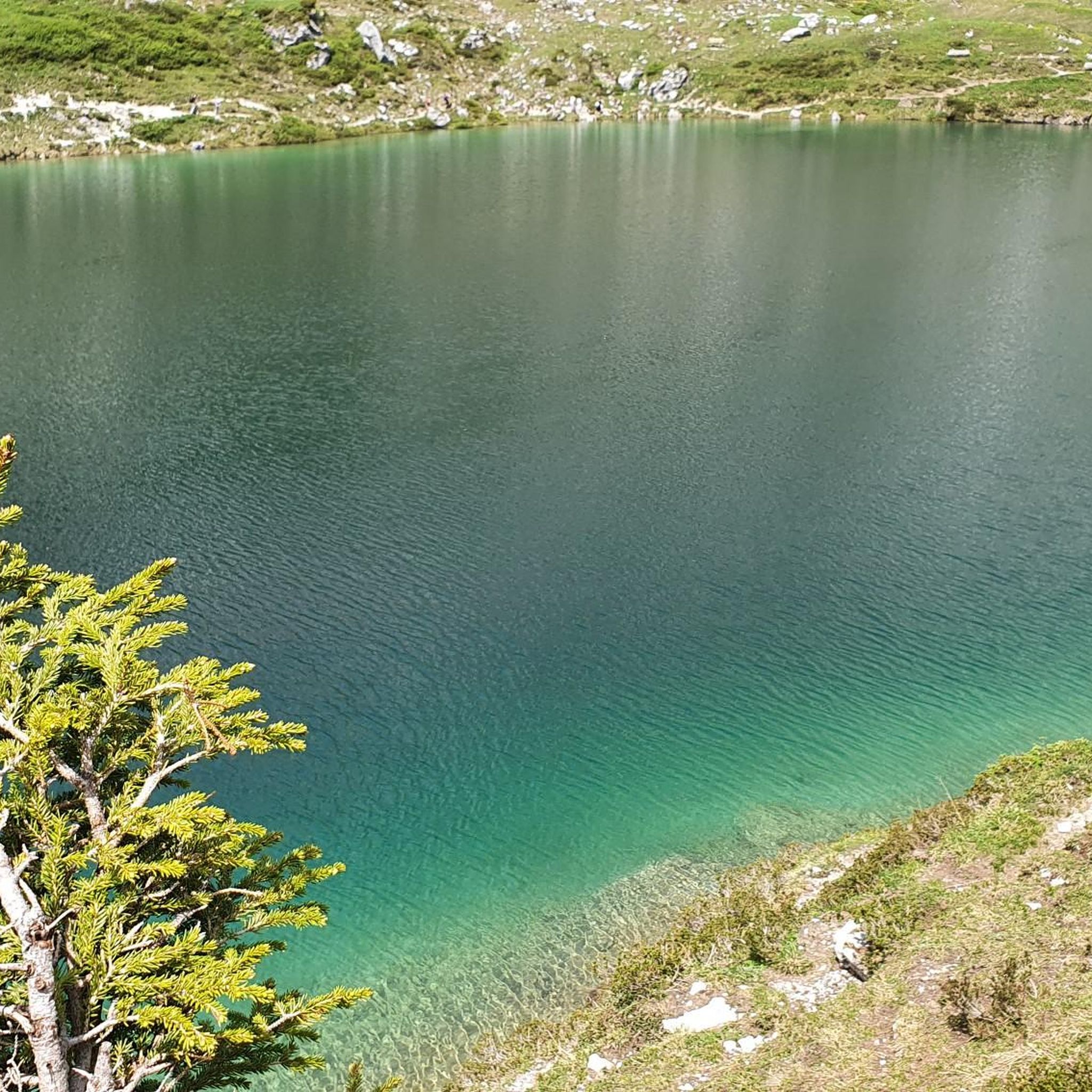

Tips from the Community

Very beautiful church under renovation
0
0
Leisure park/pond with picnic tables, children's games, mini-golf course, tennis court and fishing permitted on certain dates only (see table at the park entrance)
0
0
A little curiosity on this path in the middle of the vineyards.
1
0
Frequently Asked Questions
How many hiking trails are available in La Brousse?
There are 9 hiking trails documented around La Brousse, offering a variety of experiences through woodlands and open fields.
Are there easy hiking trails suitable for beginners or families in La Brousse?
Yes, La Brousse features 3 easy trails perfect for beginners or families. An excellent option is the Tree that eats a sign loop from Les Touches-de-Périgny, an easy 4.2-mile (6.8 km) path exploring the rural surroundings.
What is the typical length and duration of hikes in La Brousse?
Hikes in La Brousse generally range from about 3.3 miles (5.3 km) to 8.2 miles (13.2 km). Durations vary, with shorter routes taking around 1 hour 20 minutes and longer ones up to 3 hours 30 minutes, depending on your pace.
Are there any challenging hikes for experienced hikers in La Brousse?
While most trails are easy to moderate, there is 1 difficult route available for those seeking a greater challenge. These routes typically feature more varied terrain or longer distances.
Can I bring my dog on the hiking trails in La Brousse?
Most rural paths in La Brousse are generally dog-friendly, but it's always advisable to keep your dog on a leash, especially when passing through agricultural areas or near livestock. Always clean up after your pet.
When is the best time of year to go hiking in La Brousse?
The best time for hiking in La Brousse is typically during spring and autumn when the weather is mild and the landscape is vibrant. Summer can be pleasant, but be prepared for warmer temperatures, while winter hikes might encounter muddy conditions.
Are there circular walks available in La Brousse?
Yes, many of the trails in La Brousse are circular, allowing you to start and end at the same point. For example, the Bois de Vervant loop from Poursay-Garnaud is a popular circular route through local woodlands.
What do other hikers enjoy the most about hiking in La Brousse?
The komoot community highly rates the hiking in La Brousse, with an average score of 4.6 stars from 6 reviews. Hikers often praise the peaceful rural atmosphere, the gentle terrain, and the opportunity to explore the French countryside.
Is parking available at the trailheads in La Brousse?
As a rural area, parking for trailheads in La Brousse is often found in small village centers or designated roadside spots near the start of routes. It's usually free, but spaces might be limited in smaller hamlets.
Are there any specific natural features or landmarks to look out for on the trails?
The trails around La Brousse are characterized by woodlands, open fields, and often lead past local ponds or lakes. While there are no major landmarks listed, the charm lies in the tranquil rural scenery and agricultural landscapes.
Are there any hikes that pass by water features or ponds?
Yes, several routes in La Brousse incorporate water features. The Chemin "rubik's cube®" – Étang de loisirs de Cachet loop from Les Touches-de-Périgny, for instance, leads past a leisure pond, offering pleasant views.
What kind of terrain can I expect on the hiking trails in La Brousse?
The terrain in La Brousse is generally gentle, with modest elevation changes. You can expect a mix of paths through woodlands, across open agricultural fields, and sometimes along quiet country lanes.

Get inspired with the komoot mobile app


Explore more
Browse the best Hikes in other regions.
