The best walks and hikes around Louvières
4.6
(24)
109
hikers
12
hikes
Hiking trails around Louvières offer a variety of experiences, characterized by water features, canal paths, and forested areas. The landscape includes gentle elevations and open sections, providing diverse scenery for outdoor activities. This region features a mix of natural and historical elements, with routes often following waterways and through local woodlands.
Best hiking trails around Louvières
- The most popular hiking route is Carrier Shelter Ruins – The other side of the falls loop from Rolampont, a 7.5 miles (12.0…
Last updated: July 6, 2026
4.4
(19)
60
hikers
12.0km
03:20
210m
210m
Moderate hike. Good fitness required. Easily-accessible paths. Suitable for all skill levels.
4.5
(4)
29
hikers
1.71km
00:27
20m
20m
Easy hike. Great for any fitness level. Easily-accessible paths. Suitable for all skill levels.

Sign up for free
1
hikers
Moderate hike. Good fitness required. Easily-accessible paths. Suitable for all skill levels.
5.0
(1)
9
hikers
8.56km
02:15
70m
70m
Moderate hike. Good fitness required. Easily-accessible paths. Suitable for all skill levels.
8
hikers
7.32km
01:53
40m
40m
Easy hike. Great for any fitness level. Easily-accessible paths. Suitable for all skill levels.
Get access to more routes and recommendations from other explorers.
Sign up for free
Already have an account?
Our route recommendations are based on thousands of hikes, rides, and runs completed by other people on komoot.
Start today with a free account
Your next adventure awaits.
Login or Signup

Tips from the Community

Beautiful nature, in rock formations
4
0


Recommended for all seasons
4
0

Beautiful course especially in autumn
0
0
Approximately 1 hour walk, dogs possible, mountain bikes and horses
1
0

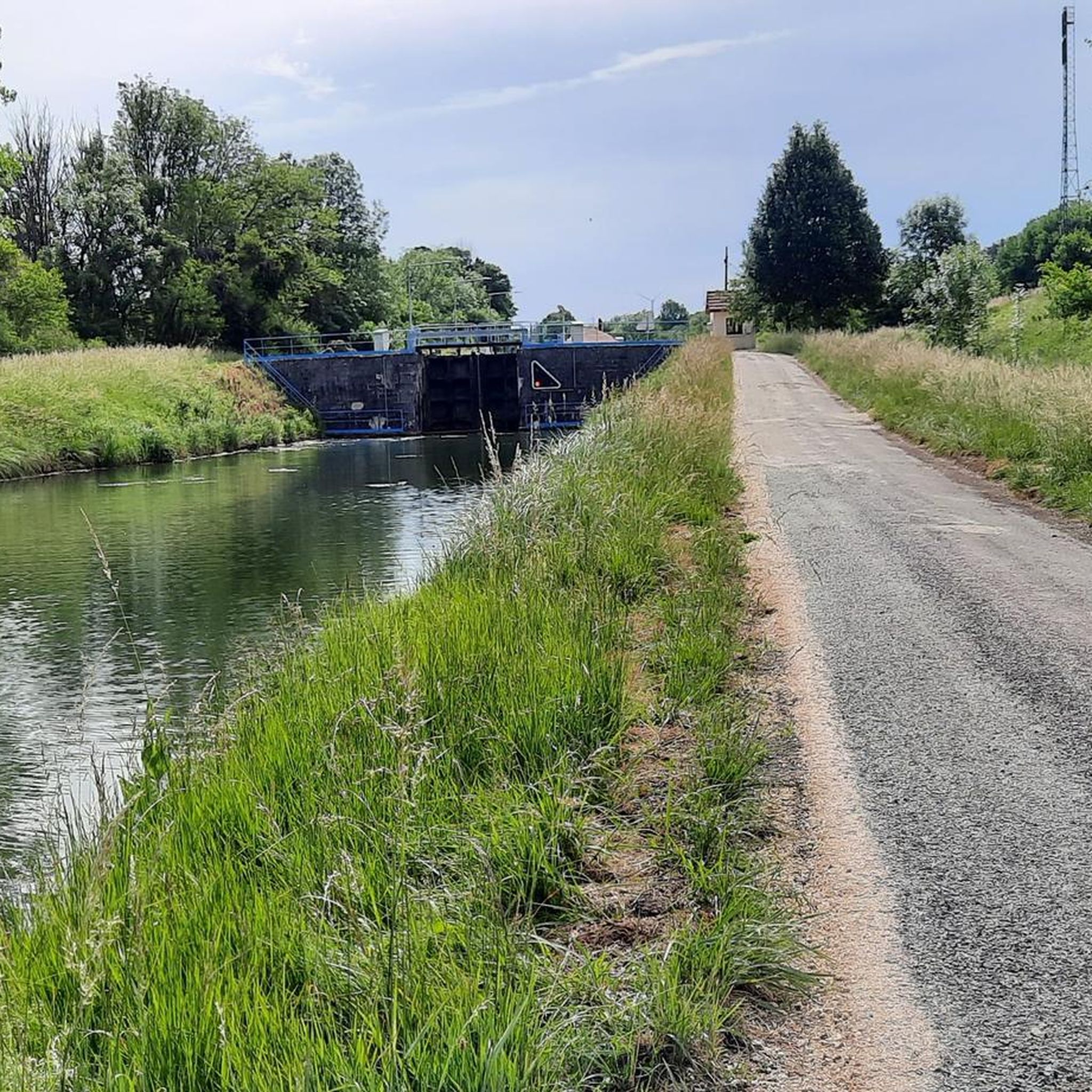
Very nice path along the canal. With a great and very beautiful landscape.
2
0
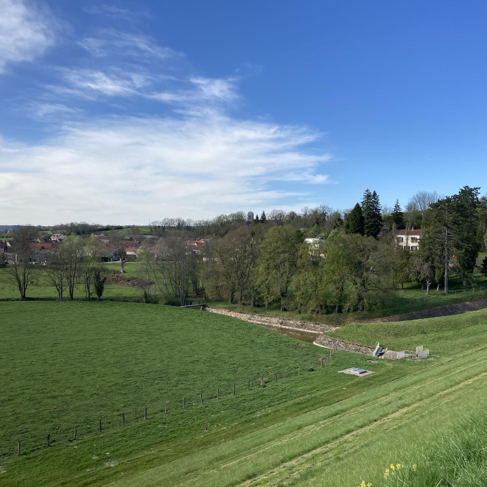
From here, it is difficult to appreciate the beauty of the waterfall seen from above.
3
0
A magnificent nature
3
0
Frequently Asked Questions
How many hiking trails are available around Louvières?
There are over 8 hiking routes around Louvières, offering a variety of experiences. These trails are well-regarded by the komoot community, with an average rating of 4.7 stars from more than 20 reviews.
Are there easy hiking trails suitable for beginners in Louvières?
Yes, Louvières offers several easy hiking trails perfect for beginners. For instance, the Carrier Shelter Ruins – Phantom Quarry loop from Rolampont is an easy 1.1 miles (1.7 km) path with minimal elevation gain, ideal for a gentle introduction to the area's landscape.
What kind of terrain can I expect on hikes around Louvières?
Hiking around Louvières is characterized by a mix of natural and historical elements. You'll find canal paths, various water features, and forested sections. The landscape generally features gentle elevations and open areas, providing diverse scenery for your outdoor activities.
Are there any circular hiking routes in the Louvières area?
Yes, many of the trails around Louvières are designed as loops. A popular option is the Carrier Shelter Ruins – The other side of the falls loop from Rolampont, which is a 7.5 miles (12.0 km) trail featuring a scenic loop around local falls.
Are there any waterfalls or significant water features to see on the trails?
Absolutely. The region is known for its water features. You can explore the Rolampont Tufière and Waterfall, which is a notable highlight. Additionally, routes like the Carrier Shelter Ruins – The other side of the falls loop from Villiers-sur-Suize lead through varied terrain including falls.
What are some interesting landmarks or attractions near the hiking trails?
Beyond the natural beauty, you can discover historical sites and other points of interest. The Carrier Shelter Ruins are a significant historical site often incorporated into local hikes. The Marne Canal also offers scenic views and is a prominent feature in the area.
Are the hiking trails around Louvières suitable for families?
Yes, the region offers trails suitable for families. Many routes feature gentle elevations and well-defined paths, making them accessible. The easy 1.1 miles (1.7 km) Carrier Shelter Ruins – Phantom Quarry loop from Rolampont is a good example of a family-friendly option.
What is the average duration for hikes in Louvières?
Hike durations vary, but many popular routes can be completed within a few hours. For example, the Marne Canal loop from Verbiesles is an easy 4.5 miles (7.3 km) trail that typically takes around 1 hour 50 minutes. Longer moderate trails, like the Hiking loop from Parcours VTT, can take about 2 hours 15 minutes.
What do other hikers enjoy most about hiking in Louvières?
The area is highly rated by the komoot community, with an average score of 4.7 stars. Hikers often praise the diverse scenery, which includes tranquil canal paths, lush forested sections, and the presence of interesting water features and historical ruins.
Is there parking available at the trailheads in Louvières?
While specific parking information for each trailhead isn't always detailed, many hiking areas in rural regions like Louvières typically have designated parking spots near popular starting points or villages. It's advisable to check the individual tour details on komoot for specific parking recommendations before you go.
Can I reach hiking trails in Louvières using public transport?
Access to some trailheads in Louvières via public transport might be limited due to its rural setting. While some larger towns nearby may have bus services, direct public transport links to all specific trail starting points are not guaranteed. Planning your journey in advance and checking local transport schedules is recommended.
Most popular attractions around Louvières

Get inspired with the komoot mobile app


Explore more
Browse the best Hikes in other regions.
