Top 13 Mountain Passes around gmina Kęty
Best mountain passes around gmina Kęty are found in the region surrounding this urban-rural administrative district in southern Poland. Situated in Oświęcim County, Lesser Poland Voivodeship, gmina Kęty is located north of the Beskid Mały mountain range and within the Soła river valley. While major named mountain passes are not directly within its boundaries, the area provides access to mountainous terrain and passes in neighboring communes. These routes offer scenic views and opportunities for various levels of outdoor recreation.
Best…
Last updated: July 10, 2026
Przegibek Pass (663 m)
Highlight • Mountain Pass
Translated by Google •
Tip by

Przysłop Pass
Highlight • Mountain Pass
Translated by Google •
Tip by
Sign up now to discover places like this
Get recommendations on the best single tracks, peaks, & plenty of other exciting outdoor places.
Sign up for free
U Panienki Pass (739 m)
Highlight • Mountain Pass
Translated by Google •
Tip by

Ascent to Targanicka Pass from Porąbka via Wielka Puszcza
Highlight (Segment) • Climb
Translated by Google •
Tip by

Ascent to Przegibek Pass from Międzybrodzie Bialskie
Highlight (Segment) • Mountain Pass
Translated by Google •
Tip by
Sign up for free to discover even more mountain passes around gmina Kęty.
Sign up for free
Already have an account?
Start today with a free account
Your next adventure awaits.
Login or Signup

Tips from the Community

It was founded by Juliusz Beinlich in gratitude for miraculously saving his life from wolves.
1
0

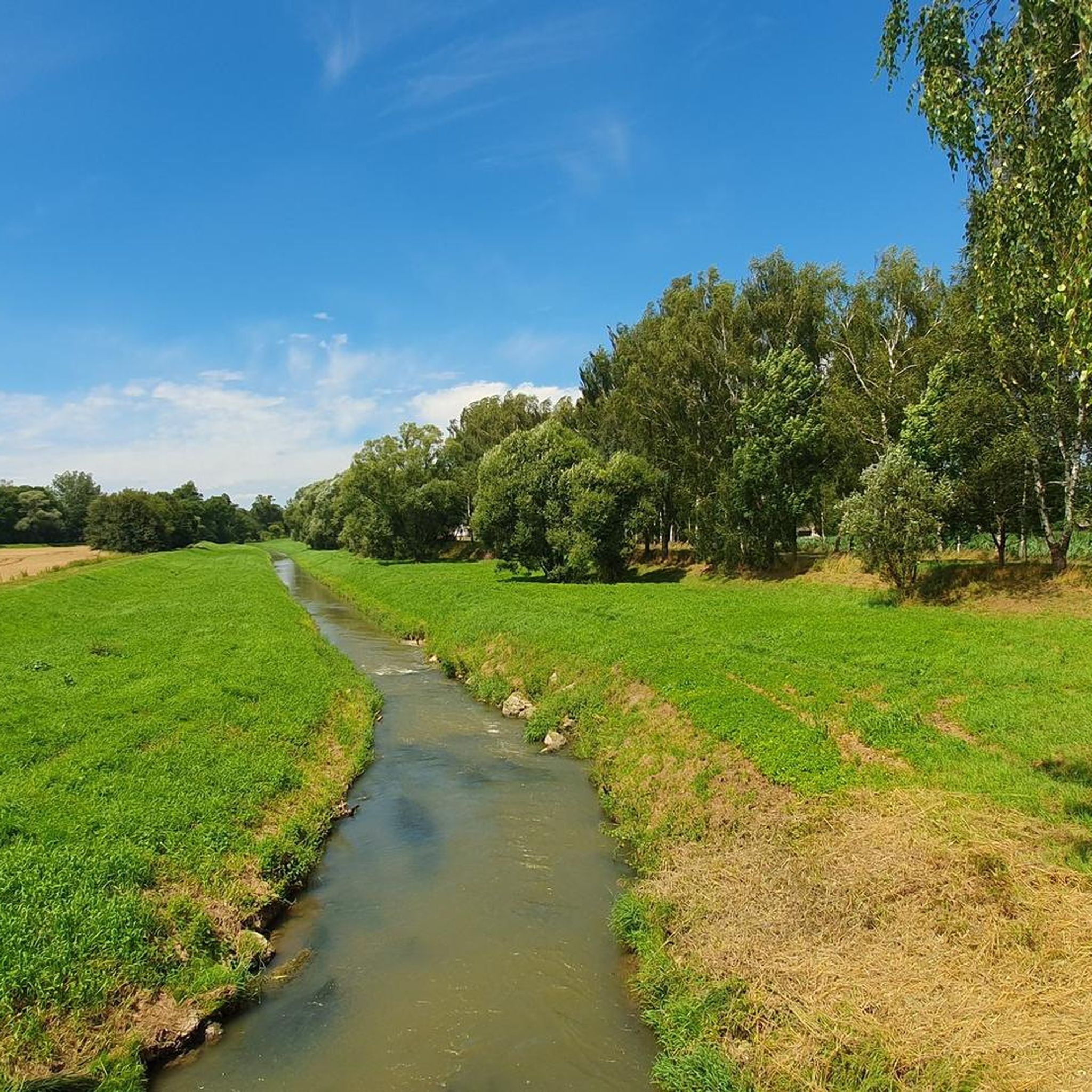
One of the two possible road climbs to the Targanicka Pass leads from Porąbka. It is 7.3 km long and has a 250 m elevation gain. The average gradient is 3.5%, with the most demanding section starting after passing the village of Wielka Puszcza. Very little car traffic, mostly good asphalt.
2
0
The ascent to Przegibek Pass from Międzybrodzie Bialskie is 6.6 km long and has a 320 m elevation gain. The average gradient is 5%, the first part is gentler, and in the second there are sections with gradients of up to 12%. Most of the route leads through the forest, and there is little car traffic.
1
0

The pass under the Wielka Cisowa Grapa. On the red MSB trail. The blue trail from Czernichów leads to the pass. There is also a plate marking the summit of Wielka Cisowa Grapa here. It is a bit strange because the summit is about 60m above the vertical, you have to walk along a forest road.
0
0

Worth a look around. In addition to the car park (full on days off) and the Gawra bar, there is also a chapel from 1858 and a monument to the victims of the war. The blue trail passes here (it is not suitable for driving towards Magurka) and the black trail to Straconka begins (it is possible to slide down). It is best to go further along forest roads (e.g. 11 to Magurka) or asphalt.
1
1
Here the yellow, red and black trails connect. I got the red one from the side of Groniczki (from the west).
1
1
Traveling along the red trail from Żar takes 15% of the 625 Wh battery.
1
1
Frequently Asked Questions
What kind of mountain passes can I expect to find near gmina Kęty?
The mountain passes around gmina Kęty, situated near the Beskid Mały mountain range, offer a variety of experiences. You'll find passes that are part of challenging climbs, provide scenic viewpoints, and some even have historical significance. They are generally accessible from surrounding communes and are appreciated for their diverse outdoor recreation opportunities.
Are there any mountain passes with historical or cultural significance in the area?
Yes, U Panienki Pass (739 m) is notable for its historical context, as it was founded in gratitude for a life saved from wolves. Additionally, Przegibek Pass (663 m) features a chapel from 1858 and a monument to war victims, adding to its cultural interest.
What are some popular hiking trails that include mountain passes near gmina Kęty?
Many trails incorporate the region's passes. For instance, U Panienki Pass (739 m) is a junction for yellow, red, and black trails. Przysłop Pass is located on the red MSB trail, with a blue trail also leading to it from Czernichów. For more hiking options, you can explore the Mountain Hikes around gmina Kęty guide.
Are there challenging mountain passes for experienced hikers or cyclists?
Absolutely. The Ascent to Przegibek Pass from Bielsko-Biała is a challenging climb covering 7.6 km with an elevation gain of 320 m and an average gradient of 4.2%, reaching up to 10-11% in sections. For cyclists, the Ascent to Targanicka Pass from Porąbka via Wielka Puszcza offers a 7.3 km climb with a 250 m elevation gain.
What kind of amenities can I find at mountain passes in this region?
At Przegibek Pass (663 m), you'll find a car park and the Gawra bar, which can be convenient for visitors. Other passes primarily offer natural viewpoints and trail connections.
Can I find mountain passes suitable for road cycling near gmina Kęty?
Yes, the Ascent to Targanicka Pass from Porąbka via Wielka Puszcza is a notable road climb with mostly good asphalt and little car traffic, making it suitable for road cycling. You can find more road cycling routes in the Road Cycling Routes around gmina Kęty guide.
What are the best mountain passes for scenic views?
Many passes in the region offer excellent viewpoints. Przysłop Pass, located under the Wielka Cisowa Grapa, provides scenic vistas. The Ascent to Przegibek Pass from Bielsko-Biała also leads to rewarding views.
Are there mountain passes that connect multiple trails?
Yes, U Panienki Pass (739 m) is a key point where yellow, red, and black trails converge, offering various route options for hikers. Przysłop Pass also connects the red MSB trail with a blue trail from Czernichów.
What outdoor activities can I do near these mountain passes?
Beyond hiking and road cycling, the area around gmina Kęty offers mountain biking opportunities. You can find various MTB trails, including loops around Targanicka Pass and Przegibek Summit. For detailed routes, check out the MTB Trails around gmina Kęty guide.
What do visitors particularly enjoy about the mountain passes near gmina Kęty?
Visitors appreciate the variety of experiences, from challenging climbs to scenic viewpoints and historical sites. The komoot community has contributed over 50 upvotes and 7 photos, highlighting the natural beauty and diverse outdoor recreation available. Many enjoy the well-maintained trails and the sense of accomplishment after a good climb.
Is it possible to access these mountain passes by car?
Some passes, like Przegibek Pass (663 m), have car parks, making them accessible by vehicle. However, many routes to and through the passes are designed for hiking or cycling, so direct car access to all points may not be possible.
Most popular routes around gmina Kęty
Most popular attractions around gmina Kęty

Get inspired with the komoot mobile app


Explore more
See even more epic mountain passes by checking out these guides around gmina Kęty:
