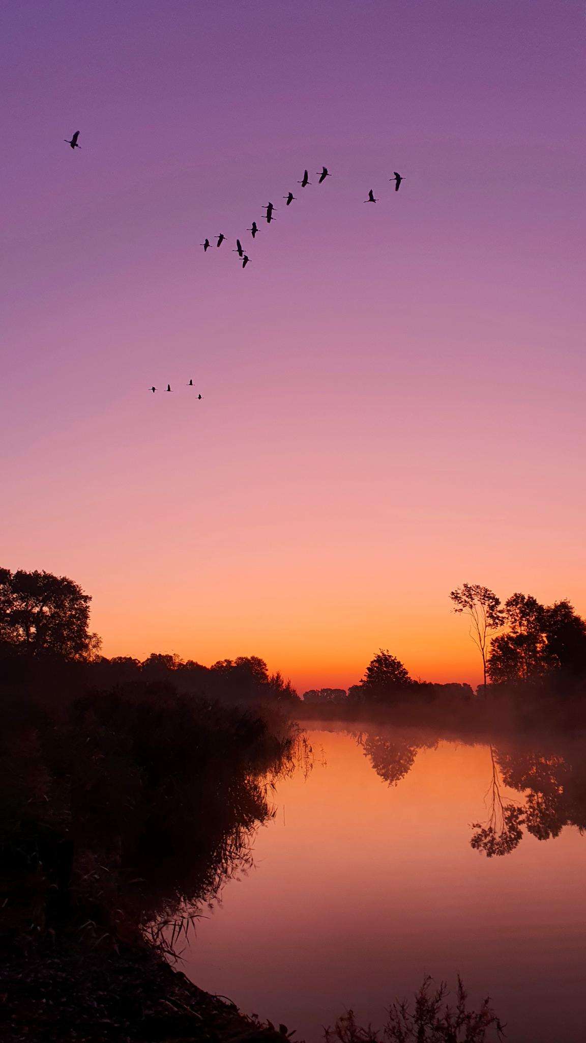
The best running trails around Etang De Tyx
5.0
(1)
10
runners
5
runs
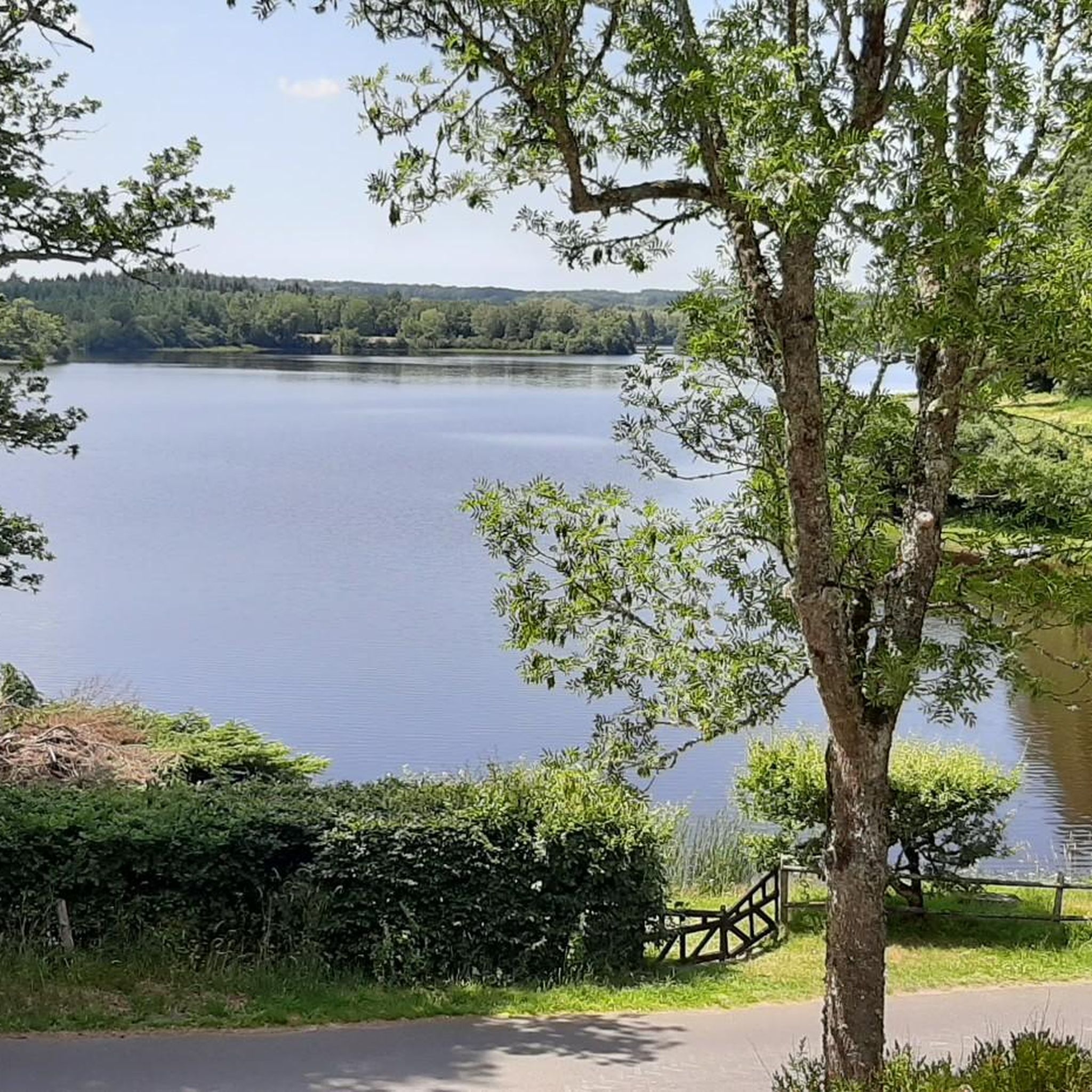
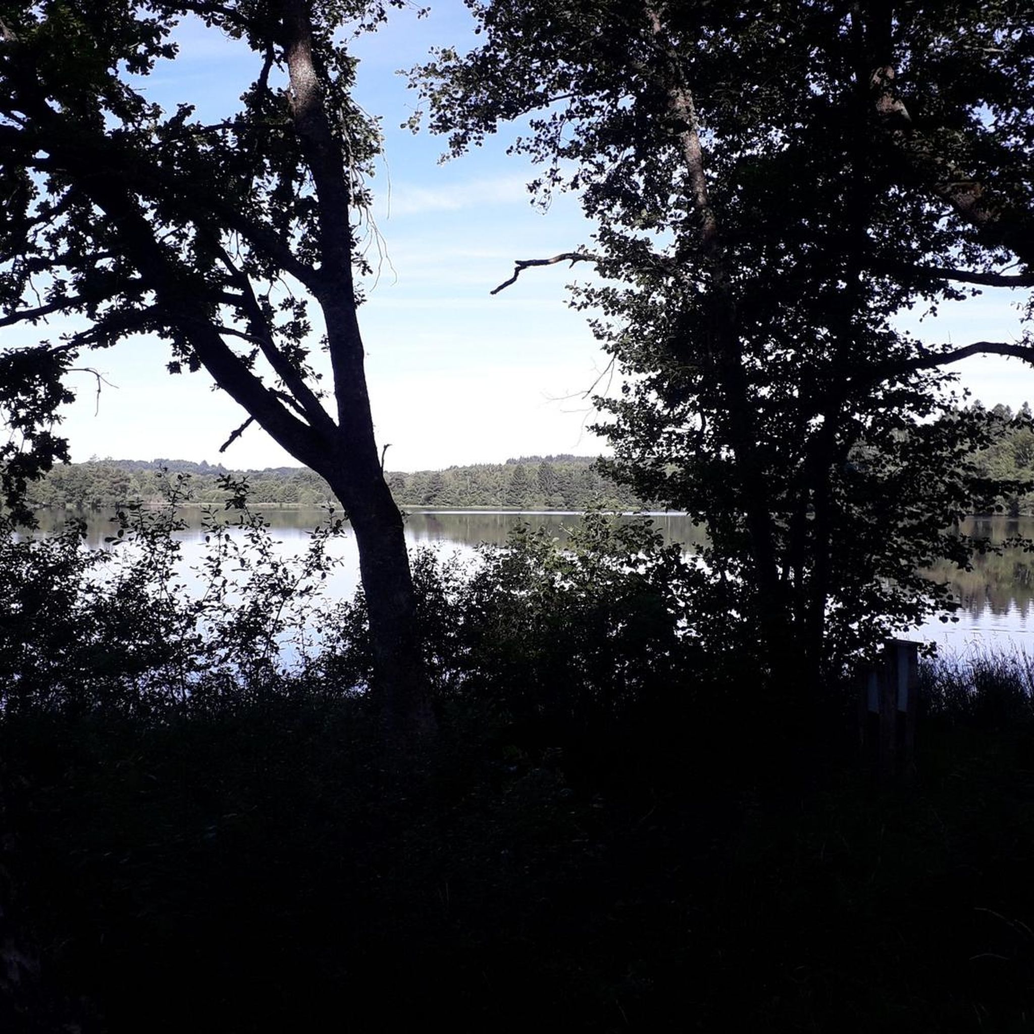
Jogging around Etang De Tyx offers routes through the serene Combrailles region, characterized by its expansive lake, forests, and pastures. The area, situated at an altitude of 722 meters, features a sandy and stony lake bed, contributing to the natural environment. Jogging routes often follow established walking and hiking trails, including sections near the GR4 long-distance path, providing varied terrain and natural scenery. The landscape provides a peaceful setting for outdoor activities.
Best jogging routes around Etang De Tyx
- The…
Last updated: July 14, 2026
5.0
(1)
2
runners
10.2km
01:05
110m
110m
Moderate run. Good fitness required. Mostly paved surfaces. Suitable for all skill levels.
2
runners
14.0km
01:36
170m
170m
Moderate run. Good fitness required. Mostly paved surfaces. Suitable for all skill levels.

Sign up for free
2
runners
6.41km
00:42
70m
70m
Moderate run. Good fitness required. Mostly paved surfaces. Suitable for all skill levels.
2
runners
8.02km
00:53
80m
80m
Moderate run. Good fitness required. Mostly paved surfaces. Suitable for all skill levels.
2
runners
15.4km
01:42
170m
170m
Hard run. Very good fitness required. Mostly paved surfaces. Suitable for all skill levels.
Our route recommendations are based on thousands of hikes, rides, and runs completed by other people on komoot.
Start today with a free account
Your next adventure awaits.
Login or Signup
Popular around Etang De Tyx
Frequently Asked Questions
How many running routes are available around Etang de Tyx?
There are 5 curated running routes around Etang de Tyx, offering a range of distances and difficulties to explore the beautiful Combrailles region.
What is the typical terrain like for jogging in this area?
The terrain around Etang de Tyx is varied, featuring paths through forests and pastures. The lake itself has a notably sandy and stony bed, suggesting pleasant, non-muddy conditions along its banks. You can expect natural surfaces, typical of the serene Combrailles landscape.
Are there circular running routes available?
Yes, all the routes featured in this guide are circular, allowing you to start and finish your run at the same point. For example, the Étang du Cros – Étang Gasserot loop from La Vacherie offers a scenic round trip.
What is the best time of year for running around Etang de Tyx?
The region's 'quietude des paysages' and 'calm' are frequently highlighted, making it an ideal setting for a peaceful jogging experience away from urban noise. Spring and autumn offer pleasant temperatures and vibrant scenery, while summer provides longer daylight hours to enjoy the exceptional landscape.
What do other runners say about the routes here?
The komoot community highly rates the running experience around Etang de Tyx, with an average score of 5.0 stars. Runners often praise the peaceful scenery and the opportunity to recharge in nature.
Are there routes suitable for beginners or easy jogging?
While most routes are classified as moderate, they are generally accessible for those with a reasonable level of fitness. The Étang de la Guise loop from Mérinchal is a good option at 6.4 km with moderate elevation, offering a pleasant run without excessive challenge.
Are there longer running options for experienced runners?
Yes, for more experienced runners looking for a challenge, the Étang Gasserot loop from Condat-en-Combraille is a difficult route spanning over 15 km with significant elevation gain. Another longer moderate option is the Motte féodale loop from Giat at 14 km.
Can I bring my dog on the running trails?
Many natural areas in France are dog-friendly, especially on trails. However, it's always recommended to keep dogs on a leash, especially in areas with wildlife or near livestock. Specific rules for the GR4 trail, which is nearby, should be checked locally.
Are there family-friendly jogging options?
For families, routes with shorter distances and less elevation are ideal. The Étang de la Guise loop from Mérinchal, at 6.4 km, could be a suitable choice for families looking for a moderate and enjoyable run together.
Are there any specific landmarks or natural features to look out for while running?
While running, you'll be immersed in the 'exceptional landscape' of the Combrailles. Keep an eye out for the expansive Etang de Tyx itself, which spans between 67 and 70 hectares, and enjoy the serene forests and pastures that characterize the region. The nearby GR4 long-distance hiking trail also indicates a wealth of natural beauty.
Is there public transport available to reach Etang de Tyx?
Public transport options directly to Etang de Tyx may be limited due to its rural location. It's advisable to check local bus services to nearby towns like Saint-Avit or Giat, and plan for a car journey or taxi for the final leg to the lake.
Where can I find parking for the running routes?
Parking is generally available in or near the starting points of the routes, such as La Vacherie, Giat, Mérinchal, or Condat-en-Combraille. Look for designated parking areas in these villages when planning your run.
Most popular routes around Etang De Tyx

Get inspired with the komoot mobile app


Explore more
Browse the best Running Trails & Routes in other regions.
