The best waterfall hikes and walks around Mowbray Mountain
24
hikers
6
hikes
Waterfall hiking trails around Mowbray Mountain offer a rugged landscape characterized by the Cumberland Plateau, featuring diverse ecosystems from dense deciduous forests to rocky outcrops. The region is rich in world-class sandstone formations and numerous creeks, providing varied terrain for exploration. Hikers can discover natural features such as the North Chickamauga Creek area with its small waterfalls and the dramatic Soddy Creek Gorge. These trails often lead through challenging terrain with significant elevation changes, highlighting the area's natural beauty.
Best…
Last updated: July 8, 2026
2
hikers
5.36km
02:11
250m
70m
The Cumberland Trail: North Chickamauga Creek Section offers a rugged and immersive hiking experience, often called the "trail of a thousand steps" due to its numerous rock steps. This difficult…
1
hikers
22.0km
06:47
750m
750m
The Cumberland Trail: North Chickamauga Creek Segment offers a rugged and scenic adventure through diverse terrain, perfect for those seeking a challenge. You'll traverse forested slopes, navigate creek fords, and…
8
hikers
6.88km
02:36
170m
170m
Hard hike. Good fitness required. Sure-footedness, sturdy shoes and alpine experience required.
Get access to more routes and recommendations from other explorers.
Sign up for free
Already have an account?
Our route recommendations are based on thousands of hikes, rides, and runs completed by other people on komoot.
Start today with a free account
Your next adventure awaits.
Login or Signup
Popular around Mowbray Mountain
Other adventures around Mowbray Mountain

Tips from the Community

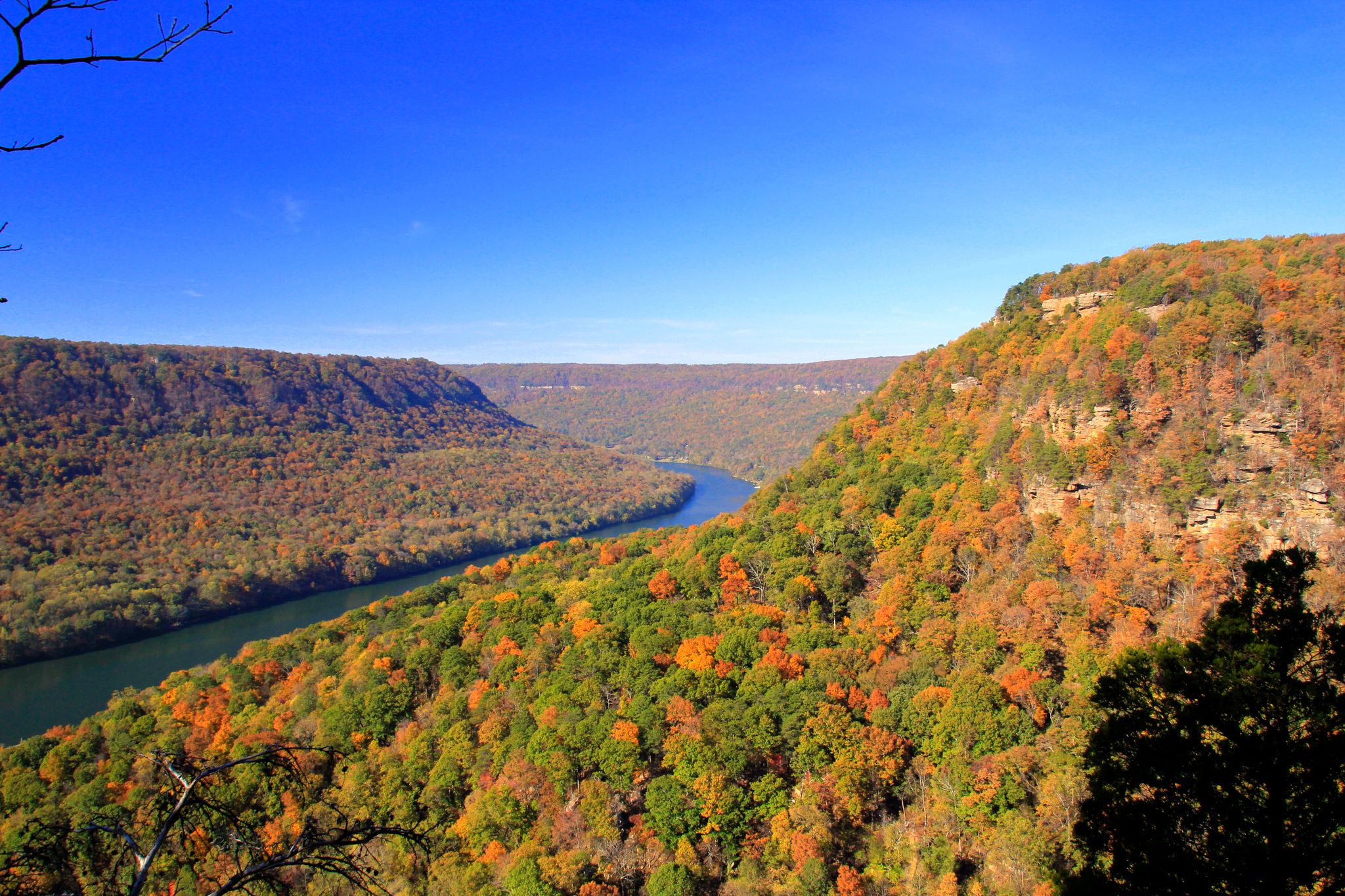
North Chickamauga Creek carves a beautiful gorge through forested hills. From this viewpoint, the valley opens up below, offering a quiet, sweeping look into the heart of the landscape.
1
0
A series of cascades forms as Hogskin Branch flows down into North Chickamauga Creek. It’s a magical place to pause and appreciate the sound of the water and the surrounding views.
1
0

The trail follows a series of wooden staircases along the side of the gorge.
0
0
An informational kiosk and parking for about two dozen cars are available at the trailhead.
0
0
The Cumberland Trail North Chickamauga Creek Segment meets the connection to the Barker Camp Road Trailhead here. This can be used as a turn-around point for an out-and-back hike, or as an opportunity to shuttle cars if only hiking in one direction.
0
0
The Stevenson Branch descends toward North Chickamauga Creek in a series of terraced waterfalls.
0
0
Look to the south for a view of the creek and gorge below.
0
0
The trail crosses a small watercourse here, which cascades over rocks.
0
0
Frequently Asked Questions
How many waterfall hiking trails are available around Mowbray Mountain?
There are over 6 dedicated waterfall hiking trails around Mowbray Mountain, offering a variety of experiences from moderate to difficult. These routes are designed to lead you to some of the region's most captivating cascades and water features.
What is the general difficulty level of waterfall hikes in this area?
Most waterfall hikes around Mowbray Mountain are considered difficult, with some moderate options available. For example, the Cumberland Trail: North Chickamauga Creek Section involves significant elevation changes over its 5.3 km. Hikers should be prepared for rugged terrain typical of the Cumberland Plateau.
Are there family-friendly waterfall hikes suitable for children?
While many trails are challenging, some sections or shorter routes might be suitable for families with older children who are accustomed to hiking. The region's terrain is generally rugged, so always check the specific route details for elevation and distance before heading out with younger family members. Look for trails with less elevation gain and shorter distances.
Can I bring my dog on waterfall hikes around Mowbray Mountain?
Yes, many trails in the Mowbray Mountain area, including those leading to waterfalls, are dog-friendly. However, it's crucial to keep your dog on a leash at all times for their safety and the preservation of wildlife. Be prepared for rocky and uneven paths, especially near waterfalls and gorges.
Are there any circular waterfall hiking routes?
Yes, you can find circular options that incorporate waterfalls. A notable example is the Hogskin Branch Waterfall loop from Cumberland Trail - Montlake Road, which offers a 6.8 km loop allowing you to experience the falls and return to your starting point without retracing your steps.
When is the best time of year to experience the waterfalls at their fullest?
The waterfalls around Mowbray Mountain are often at their most impressive during the spring months, following seasonal rains, and also after heavy rainfall in other seasons. During drier periods in late summer or fall, the flow might be reduced, but the surrounding foliage can offer stunning views, especially during autumn.
Are there opportunities for swimming or wading near the waterfalls?
The North Chickamauga Creek area, which features small waterfalls, is known for its 'blue holes' that invite exploration and offer opportunities for cooling off. Always exercise caution, check water levels, and be aware of slippery rocks if you plan to wade or swim near any waterfalls.
What kind of terrain should I expect on waterfall hikes around Mowbray Mountain?
Expect rugged terrain characteristic of the Cumberland Plateau, including rocky outcrops, dense deciduous forests, and winding paths. Trails often follow creeks and gorges, such as the Soddy Creek Gorge, which features dramatic rock formations. Some routes, like the Cumberland Trail: North Chickamauga Creek Segment, involve significant elevation changes.
Where can I find parking for waterfall trails around Mowbray Mountain?
Parking availability varies by trailhead. For trails like those along the Cumberland Trail, designated parking areas are typically available at access points such as Montlake Road. It's advisable to check specific route descriptions for detailed parking information before your hike.
Do I need any permits to hike to waterfalls in this region?
Generally, day hiking on public lands and trails around Mowbray Mountain, including those to waterfalls, does not require specific permits. However, always verify current regulations, especially if you plan to visit private land or specific wilderness areas like the Big Soddy Creek Gulf, which might have their own access rules.
Are there good viewpoints along the waterfall trails?
While the primary focus is on the waterfalls themselves, many trails in the Mowbray Mountain area offer scenic overlooks. The rugged landscape and gorges provide natural viewpoints. For broader panoramic views of the Tennessee River Gorge, Edwards Point is a popular spot, though not directly a waterfall trail, it's a significant nearby attraction.
Can I combine multiple waterfalls into a single hike?
Depending on their proximity, it is often possible to link sections of trails to visit multiple water features. The extensive network of trails, particularly parts of the Cumberland Trail, allows for longer, more adventurous routes that might pass by several cascades or creek areas. Planning your route carefully using a map or a navigation app is recommended.
Most popular routes around Mowbray Mountain

Get inspired with the komoot mobile app


Explore more
Browse the best Hikes in other regions.
