The best gravel rides in Bocca Serriola
4.3
(3)
40
riders
4
rides
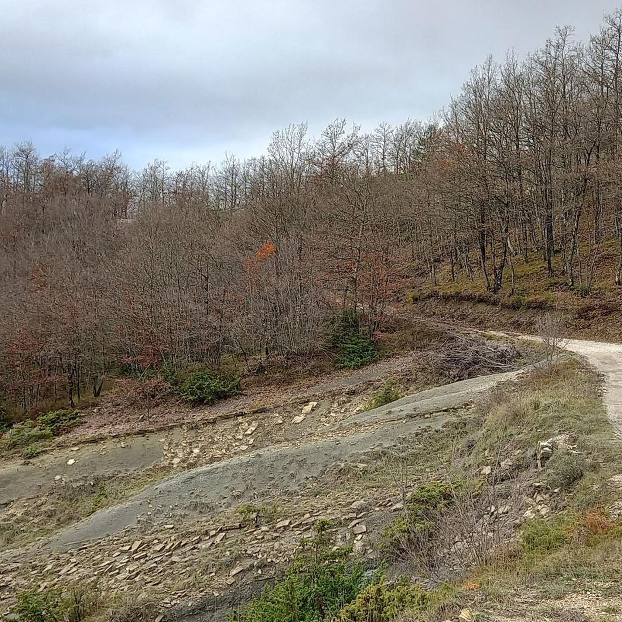
Gravel biking in Bocca Serriola offers diverse terrain across an Apennine pass at 730 meters above sea level, situated between the Tuscan-Emilian and Umbrian-Marche Apennines. The region features verdant montane scenery, well-preserved forests of deciduous trees, and a varied topography including marly formations and modest reliefs. Waterways like the Biscubio torrent and its tributaries contribute to the diverse vegetation, providing a dynamic landscape for cycling. This area is characterized by challenging ascents and scenic routes, ideal for gravel biking enthusiasts.
…Last updated: October 13, 2026
2
riders
37.6km
02:47
790m
790m
Hard gravel ride. Very good fitness required. Mostly paved surfaces. Suitable for all skill levels.
3
riders
33.3km
02:19
800m
800m
Hard gravel ride. Very good fitness required. Mostly paved surfaces. Suitable for all skill levels.

3
riders
25.7km
01:45
600m
600m
Hard gravel ride. Very good fitness required. Mostly paved surfaces. Suitable for all skill levels.
5
riders
86.7km
06:08
1,460m
1,460m
Hard gravel ride. Very good fitness required. Mostly paved surfaces. Suitable for all skill levels.
2
riders
18.7km
01:29
370m
380m
Moderate gravel ride. Good fitness required. Mostly paved surfaces. Suitable for all skill levels.
Our route recommendations are based on thousands of hikes, rides, and runs completed by other people on komoot.
Start today with a free account
Your next adventure awaits.
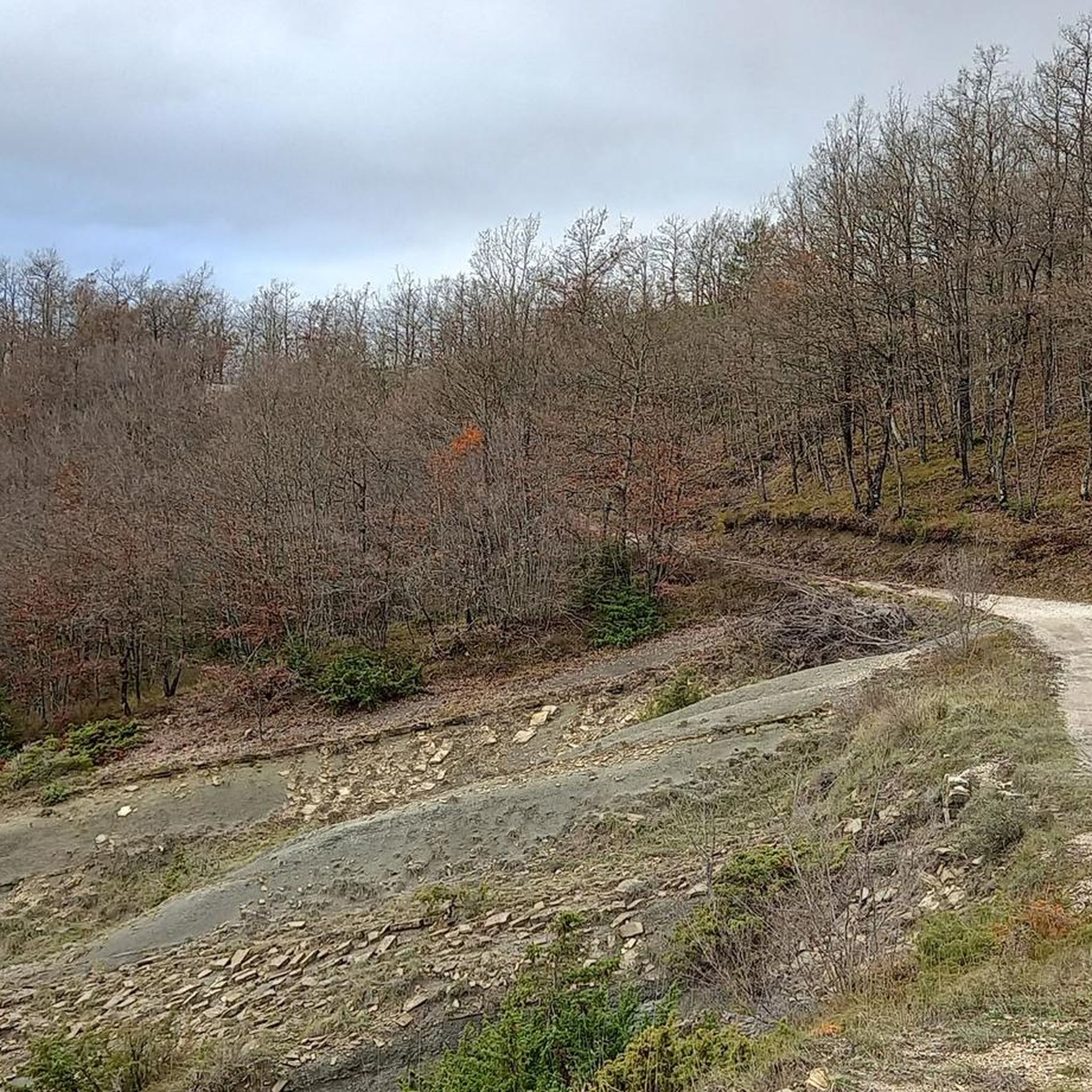
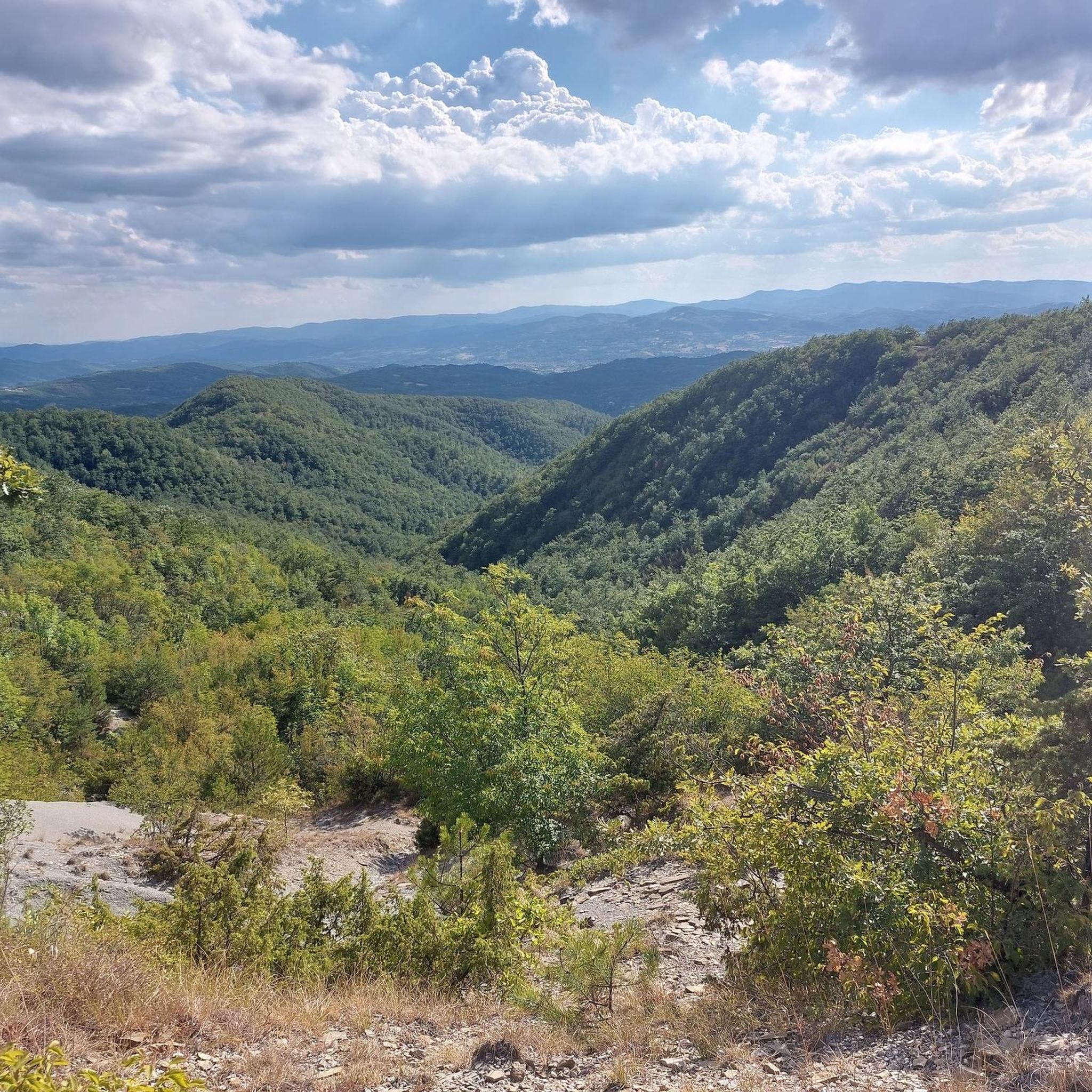
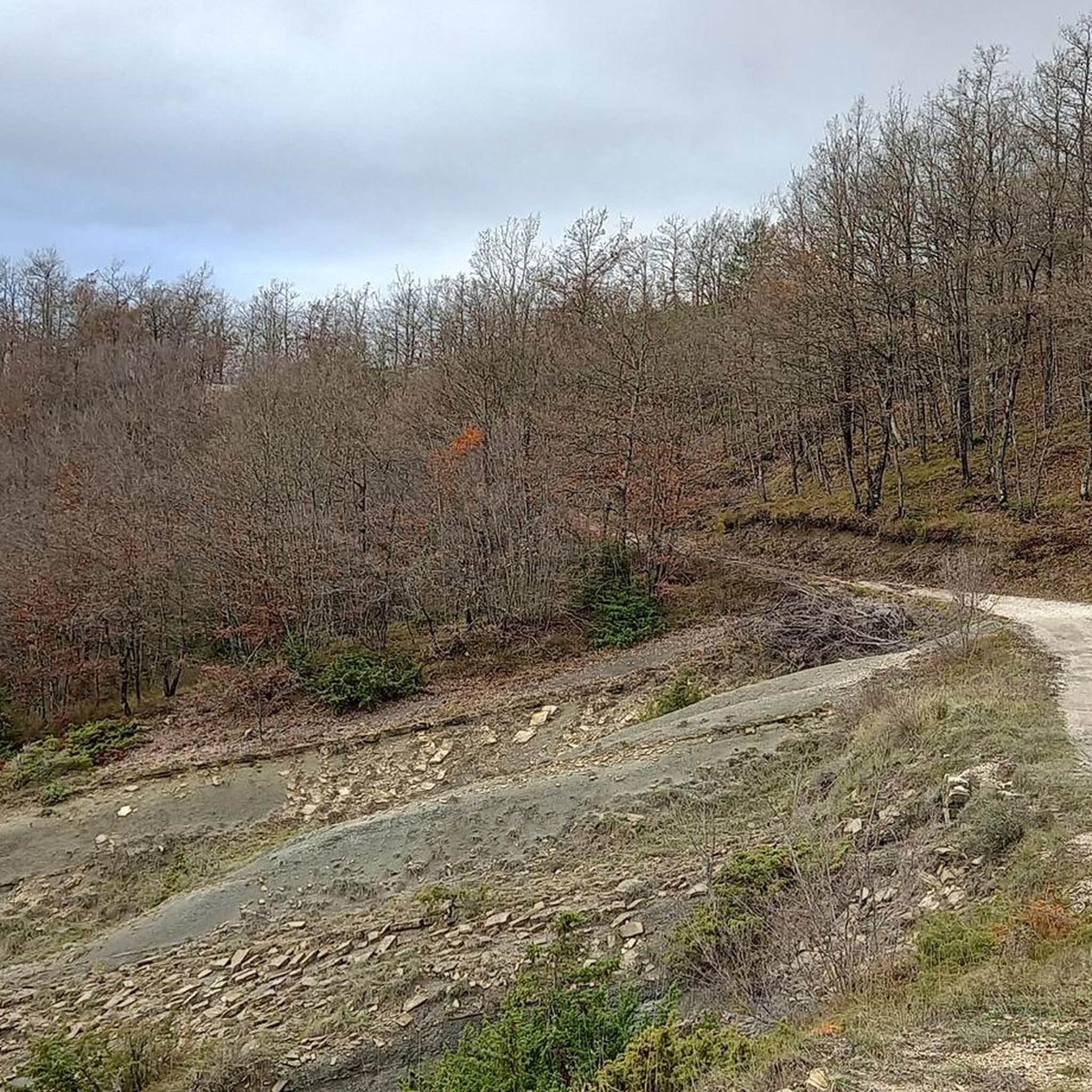
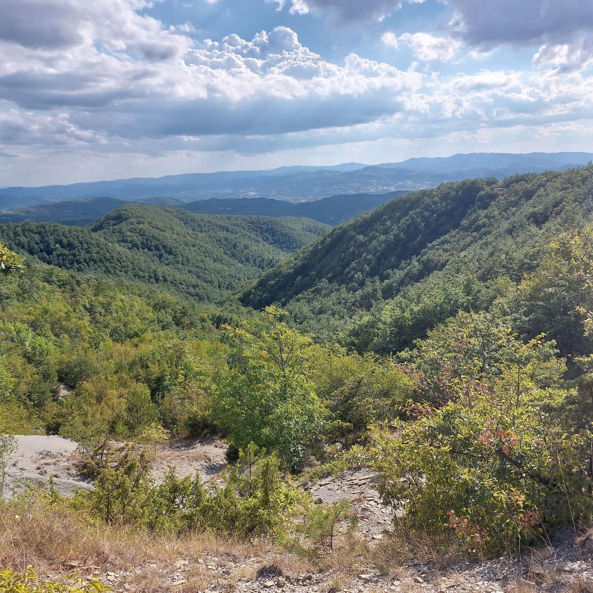
Tips from the Community

Besides being an interesting religious monument, bearing witness to the many earthquakes that have long plagued the region, the parish church is also a hostel for pilgrims walking the Via di Francesco. It's run by volunteers, so it's best to call to make sure it's open.
2
0

The savings were probably invested in stones ☺️ The savings bank was founded in 1855 with a papal signature from Pope Pius IX.
0
0

Traveling along the Apennine route between Pannacciano and Bocca Serriola, you are always accompanied by the pyramid of Monte Nerone on the left orographic side of the watershed between Umbria and Marche.
0
0

Stopping for a torta al testo is a must!
0
0
Mount Catria is a mountain in the Umbrian-Marche Apennines, 1701 m above sea level, located along the border between Umbria and Marche, within the territory of the municipalities of Cagli, Cantiano, Frontone and Serra Sant'Abbondio (province of Pesaro and Urbino).
0
0

Once called piazza "di sopra" to distinguish it from the other important piazza (Venanzio Gabriotti), formerly Palazzo del Podestà and now Magistrates' Court.
0
0
Without a doubt the most enjoyable stretch, well maintained, closed to traffic and tree-lined.
0
0
I think it's the most enjoyable stretch of the "hypothetical" Tiber cycle path!
0
0
Frequently Asked Questions
How many gravel bike trails are available in Bocca Serriola?
There are currently 5 detailed gravel bike routes available in Bocca Serriola, offering a range of experiences across the region's diverse terrain.
What is the typical difficulty level for gravel biking in Bocca Serriola?
The gravel bike routes in Bocca Serriola are generally considered challenging, with significant elevation gains and unpaved segments. They are best suited for riders with good fitness and some experience on varied terrain. For example, the Colombara Globe – Apecchio loop from Apecchio is rated as difficult.
Are there any family-friendly gravel biking options in Bocca Serriola?
Given the challenging nature and significant elevation gains of the listed routes, Bocca Serriola's gravel biking trails are generally more suited for experienced riders rather than young families or beginners. The terrain often includes demanding unpaved sections.
What kind of landscapes can I expect to see while gravel biking in Bocca Serriola?
Bocca Serriola offers a rich tapestry of landscapes. You'll ride through lush montane scenery, well-preserved forests of oaks, hornbeams, and beech trees, and diverse topography featuring grassy slopes and cultivated fields. The region also includes modest reliefs of marl-sandstone substrates and offers panoramic views across the Biscubio and Tiberina valleys.
What are some interesting landmarks or attractions along the gravel routes?
Along the gravel routes, you can encounter several historical and natural points of interest. Notable attractions include the Devil's Pass, the ancient Parish of San Giovanni di Somole, and the intriguing Ca' Santucci Ruins. The area also features The Apennine Ridge, offering expansive views.
Are there any circular gravel bike routes in Bocca Serriola?
Yes, several routes in Bocca Serriola are designed as loops, allowing you to start and finish in the same location. Examples include the Tiber Cycle Path – Pieve of Saddi loop from Città di Castello and the Apecchio – B&B da Dodò loop from Mappamondo della pace.
What is the typical length of gravel bike trails in Bocca Serriola?
The gravel bike trails in Bocca Serriola vary in length. You can find shorter loops around 25 km, such as the Apecchio – B&B da Dodò loop, to much longer and more demanding routes like the Tiber Cycle Path – Pieve of Saddi loop, which spans over 86 km.
What do other gravel bikers enjoy most about Bocca Serriola?
The komoot community rates the area highly, praising its diverse terrain, verdant landscapes, and the blend of challenging ascents and scenic routes. Riders often highlight the well-preserved forests and the sense of adventure on the unpaved segments.
When is the best time of year for gravel biking in Bocca Serriola?
Bocca Serriola is suitable for outdoor activities throughout much of the year. Spring and autumn generally offer the most pleasant temperatures and vibrant scenery. Summer can be warm, but the higher elevations and forested areas provide some relief. Winter might bring colder temperatures and potential snow at higher altitudes, making some routes more challenging or inaccessible.
Are there opportunities for wildlife spotting while gravel biking?
Yes, the region's lush montane scenery and well-preserved forests are ideal for wildlife spotting. The extensive forest cover, particularly in the Bocca Serriola Forest, provides a habitat for various species, offering a chance to observe local wildlife during your rides.
Where can I find parking or trailhead access for gravel biking routes?
Many routes in Bocca Serriola start from towns or villages, which typically offer parking facilities. For example, routes like the Colombara Globe – Apecchio loop begin directly from Apecchio, where you can usually find suitable parking. For specific trailhead access points, it's best to check the individual route details on komoot.
Most popular routes in Bocca Serriola
Most popular attractions in Bocca Serriola

Get inspired with the komoot mobile app


Explore more
Browse the best Gravel rides in other regions.
