The best running trails in San Andrés Semetabaj
4.8
(4)
115
runners
5
runs
Jogging in San Andrés Semetabaj offers routes through elevated terrain and diverse natural landscapes. Situated at an altitude of 1,945 meters (6,381 feet) above sea level, the area features a temperate climate. Runners can expect hilly terrain, pine forests, and views of Lake Atitlán and surrounding volcanoes. The region provides a varied and invigorating environment for running.
Best jogging routes in San Andrés Semetabaj
- The most popular jogging route is Mirador loop from Panajachel, a 5.3 miles (8.5 km)…
Last updated: July 9, 2026
5.0
(1)
41
runners
8.52km
00:54
90m
90m
Moderate run. Good fitness required. Mostly paved surfaces. Suitable for all skill levels.
5.0
(1)
37
runners
10.4km
01:08
160m
160m
Moderate run. Good fitness required. Mostly paved surfaces. Suitable for all skill levels.

Sign up for free
10
runners
7.73km
01:01
180m
180m
Moderate run. Good fitness required. Mostly paved surfaces. Suitable for all skill levels.
5.0
(2)
11
runners
16.8km
02:02
280m
280m
Hard run. Very good fitness required. Mostly paved surfaces. Suitable for all skill levels.
4.0
(1)
7
runners
4.78km
00:30
40m
40m
Easy run. Great for any fitness level. Mostly paved surfaces. Suitable for all skill levels.
Our route recommendations are based on thousands of hikes, rides, and runs completed by other people on komoot.
Start today with a free account
Your next adventure awaits.
Login or Signup
Popular around San Andrés Semetabaj
Frequently Asked Questions
What kind of terrain can I expect on running routes in San Andrés Semetabaj?
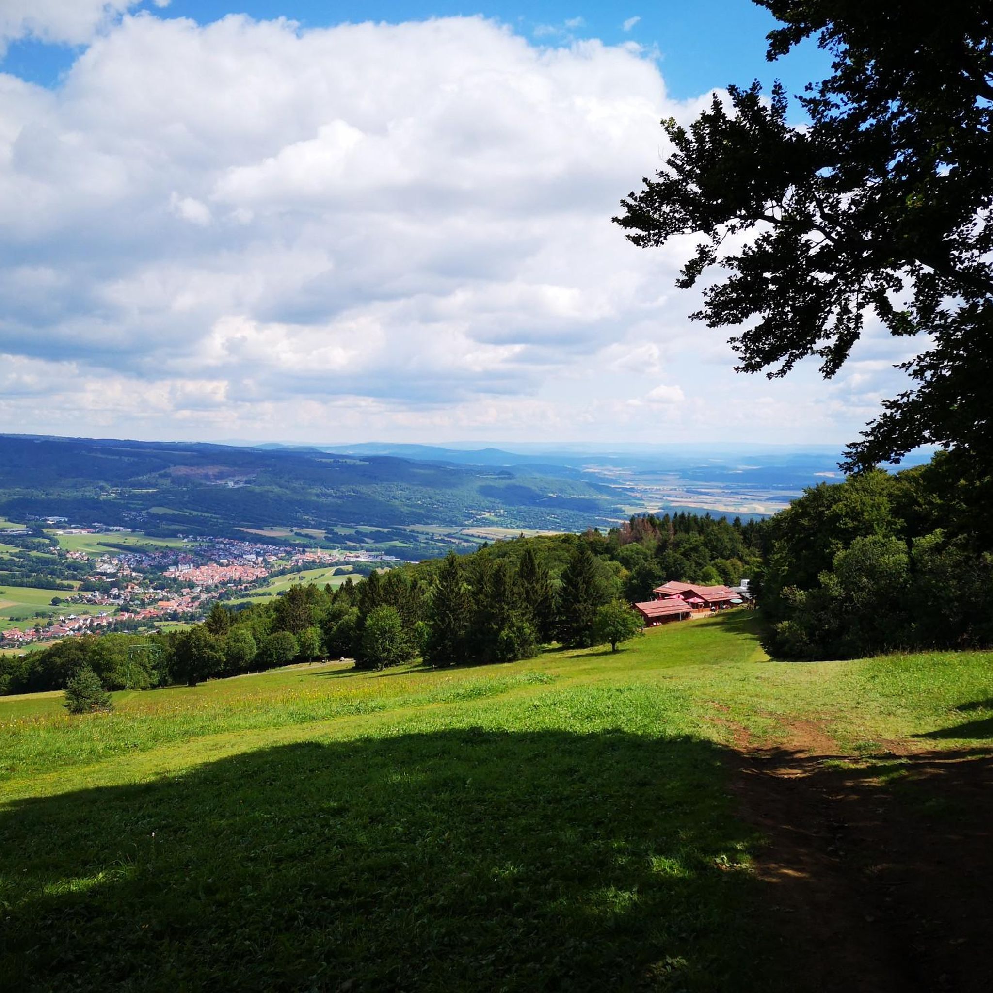
Jogging routes in San Andrés Semetabaj are characterized by elevated and hilly terrain, often featuring winding roads and pine forests. The area is situated at an altitude of 1,945 meters (6,381 feet) above sea level, providing a varied and invigorating environment for runners.
Are there running routes suitable for beginners in San Andrés Semetabaj?
Yes, there are routes suitable for beginners. For an easier run, consider the Running loop from Panajachel, which is approximately 3 miles (4.9 km) long and classified as easy.
What are the typical distances for jogging trails in San Andrés Semetabaj?
Running trails in San Andrés Semetabaj vary in distance. You can find routes ranging from approximately 3 miles (4.9 km) for an easier run, up to about 10.4 miles (16.8 km) for more challenging options. Most routes fall within the 4.8 to 6.4 miles range.
What are the best times of year for running in San Andrés Semetabaj?
San Andrés Semetabaj enjoys a pleasant temperate climate due to its high altitude. This makes it suitable for running year-round, though it's always wise to check local weather forecasts for optimal conditions.
What kind of views can I expect along the running routes?
Many running routes offer breathtaking views. You can expect panoramic vistas of Lake Atitlán and the surrounding volcanic landscapes, including volcanoes such as Atitlán, Agua, Fuego, and Acatenango. Routes like the Mirador loop from Panajachel are known for their scenic outlooks.
Are there any circular running routes available?
Yes, several routes are designed as loops. Examples include the Mirador loop from Panajachel, the Mirador – Mirador Ventana del Tiempo loop from Santa Catarina Palopó, and the Jaibalito Trail loop from Santa Cruz La Laguna, offering varied experiences.
What do other runners say about the trails in San Andrés Semetabaj?
The running routes in San Andrés Semetabaj are highly rated by the komoot community, with an average score of 5.0 stars. Runners often praise the varied terrain, scenic views of Lake Atitlán, and the invigorating challenge provided by the elevated paths.
Are there any natural attractions or landmarks near the jogging routes?
Yes, the region is rich in natural beauty. Beyond the stunning views of Lake Atitlán and the volcanoes, you can explore Parque Ecológico Saquiché within the municipality, which offers a serene setting for immersing yourself in local flora and fauna.
How many running routes are available in San Andrés Semetabaj?
There are 5 dedicated running routes detailed for San Andrés Semetabaj, offering a range of difficulties from easy to difficult, catering to different fitness levels.
What is the difficulty level of running in San Andrés Semetabaj?
Running in San Andrés Semetabaj offers a range of difficulty levels. You can find easy routes, such as the Running loop from Panajachel, as well as moderate and difficult options like the longer Jaibalito Trail loop from Santa Cruz La Laguna, which is approximately 10.4 miles (16.8 km) and features significant elevation changes.
Is public transportation available to reach the trailheads?
While specific public transport details for each trailhead are not provided, San Andrés Semetabaj is accessible. For routes starting near Panajachel or Santa Catarina Palopó, local transport options like 'chicken buses' or tuk-tuks are generally available to reach these towns, from which you can access the starting points.
Are there any long-distance running options in the area?
For those looking for a longer run, the Jaibalito Trail loop from Santa Cruz La Laguna offers a challenging 10.4-mile (16.8 km) route with considerable elevation gain, making it suitable for longer training runs.
Most popular routes in San Andrés Semetabaj

Get inspired with the komoot mobile app


Explore more
Browse the best Running Trails & Routes in other regions.
