Top 4 Mountain Passes around Garfield
Best mountain passes around Garfield are located in a mountainous region where the Colorado River cuts through canyons. Elevations in this area can reach up to 12,000 feet, featuring mountain ridges and diverse terrain. The region offers routes through rugged landscapes, providing opportunities to experience western Colorado's natural environment.
Best mountain passes around Garfield
- The most popular mountain pass is Monarch Pass, a mountain pass that serves as a trailhead for various trails. This high mountain pass, at an…
Last updated: September 29, 2026
Monarch Pass
Highlight • Mountain Pass
Tip by

Monarch Pass Climb West
Highlight (Segment) • Climb
Tip by

Sign up now to discover places like this
Get recommendations on the best single tracks, peaks, & plenty of other exciting outdoor places.
Monarch Pass Climb East
Highlight (Segment) • Climb
Tip by
Chalk Creek Pass
Highlight • Mountain Pass
Tip by

Start today with a free account
Your next adventure awaits.
Popular around Garfield

Tips from the Community

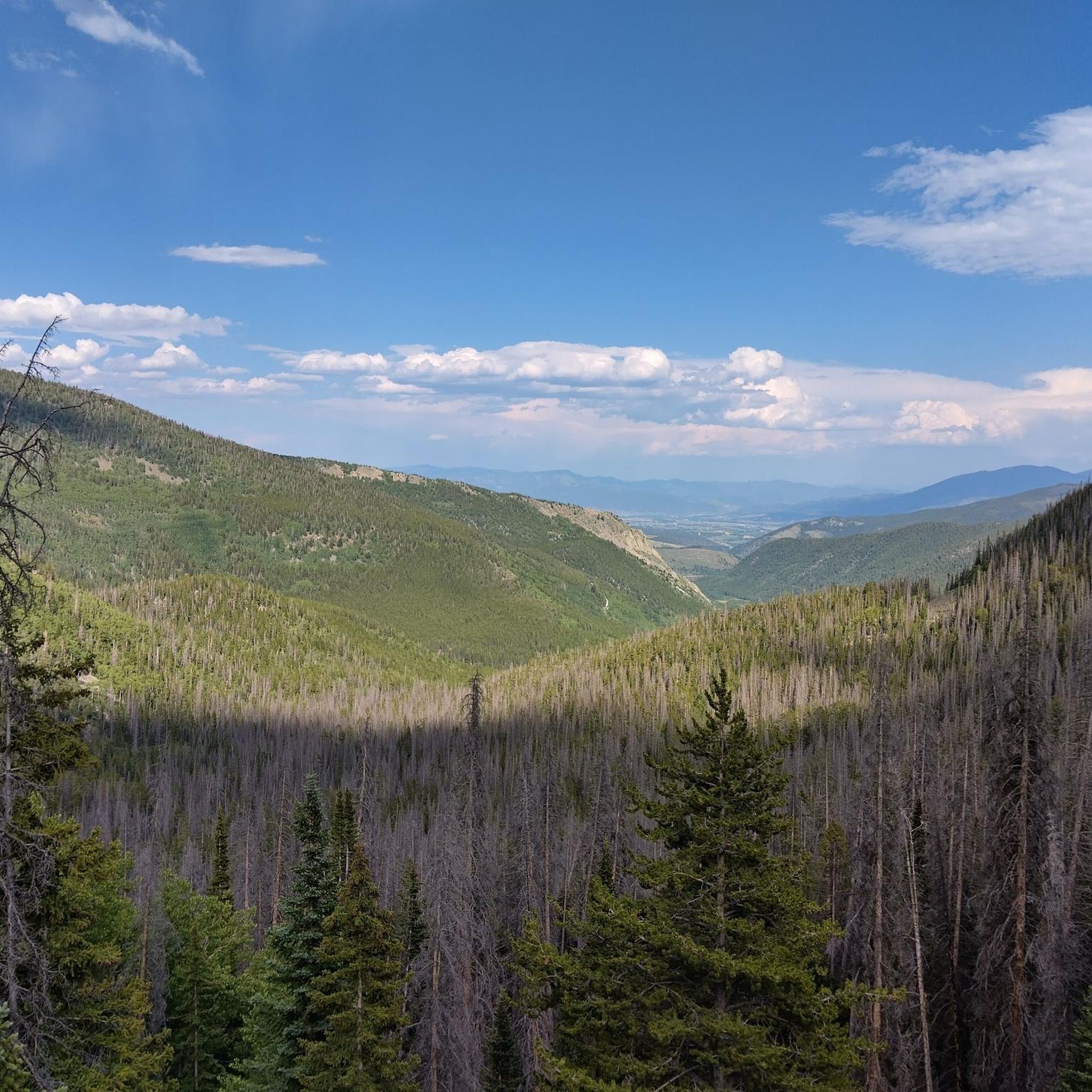
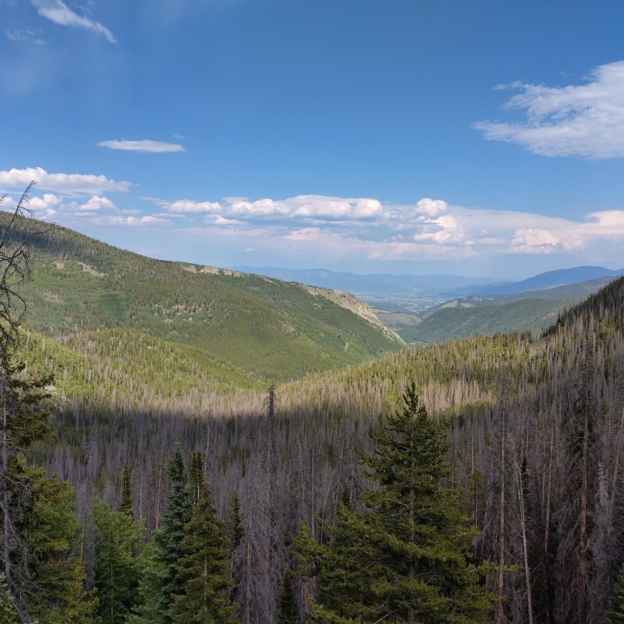
Chalk Creek Pass is short and steep on either side, so grab those trekking poles. The top of the pass has fantastic views, and alpine tarns sit on both sides.
0
0

Monarch Pass from the east is a classic road biking ascent on US Highway 50, taking you high into the Sawatch Range towards the Continental Divide. Starting around 8,100 feet, you'll climb approximately 11.3 to 11.5 miles, gaining about 3,000 feet to the 11,312-foot summit, with a moderate average gradient around 4.9-5.1% that ramps up slightly after the initial miles. You'll follow the Arkansas River valley and climb through forests, and while you're in the sun for much of this side, the panoramic views from the summit are truly spectacular. Be prepared for the altitude and moderate traffic on this well-traveled mountain highway.
0
0
The Monarch Pass climb from the west, starting in Sargents is a classic and scenic road biking ascent on US Highway 50. Over approximately 10 to 11.5 miles, you'll climb around 2,750 to 2,850 feet at a consistent average gradient between 5% and 6%, winding your way up into the Sawatch Range. As the road is often cut into the mountainside, you'll ride through forested areas with glimpses down to Agate Creek below, and the scenery becomes increasingly open with expansive mountain views as you near the 11,312-foot summit. Be aware that while the road is good, it can have moderate traffic, and you'll be dealing with significant altitude as you climb higher.
0
1

At an elevation of 11,312 feet, Monarch Pass features a gift shop, parking, restrooms, and acts as a trailhead for a number of trails. Mountain bikes frequent the trails from the pass, but they are also great trails for running and hiking.
0
0

Hiking along the Continental Divide Trail, you can either shop in the small gift shop at Monarch Pass or hitch into the town of Salida that has to offer everything a hiker could ask for.
5
0

Monarch Pass is a high mountain pass with an elevation of 11,312 feet. It is the starting point of the infamous IMBA Epic Mountainbike trail "Monarch Crest". Before you take off to this incredible high alpine mountainbike adventure make sure you have enough snacks and water. In case you are lacking one of these, just hit the store next to the parking lot and buy whatever is missing.
1
1
Frequently Asked Questions
What are the most popular mountain passes around Garfield?
The most popular mountain pass is Monarch Pass, known for its high elevation of 11,312 feet and serving as a trailhead for various trails. Another highly regarded pass is Chalk Creek Pass, which offers fantastic views and features alpine tarns.
What outdoor activities can I do near the mountain passes around Garfield?
The area around Garfield's mountain passes is excellent for various outdoor activities. You can find numerous trails for mountain biking, hiking, and running. For mountain biking, explore routes like the Monarch Crest Trail. Hikers can enjoy trails such as the Old Monarch Pass and Continental Divide Trail loop or the Waterdog Lakes Trail. Runners also have options like the Boss and Hunt Lakes via The Colorado Trail. You can find more details on these activities in the MTB Trails around Garfield, Hiking around Garfield, and Running Trails around Garfield guides.
Are there challenging road biking climbs in the Garfield area?
Yes, Garfield offers challenging and scenic road biking climbs. The Monarch Pass Climb West, starting in Sargents, is a classic ascent on US Highway 50, gaining around 2,750 to 2,850 feet over 10 to 11.5 miles. Similarly, the Monarch Pass Climb East also on US Highway 50, climbs about 3,000 feet to the 11,312-foot summit. Both routes offer expansive mountain views but require preparedness for significant altitude and moderate traffic.
What natural features can I expect to see at Chalk Creek Pass?
Chalk Creek Pass is known for its fantastic views. From the top, you can observe beautiful alpine tarns on both sides. The ascent itself is short and steep, offering a rewarding experience for those who make the climb.
What facilities are available at Monarch Pass?
Monarch Pass, at an elevation of 11,312 feet, is well-equipped for visitors. It features a gift shop, ample parking, and restrooms. It also serves as a significant trailhead for various hiking and mountain biking routes, including the Continental Divide Trail and the IMBA Epic Mountainbike trail "Monarch Crest".
Is there a less-traveled mountain pass in Garfield County, Colorado, for a remote experience?
Yes, Douglas Pass is a notable option for those seeking a more remote experience. It is the only main route that traverses the western half of Garfield County via State Highway 139. This pass offers a route through a rugged and less-traveled area, providing opportunities to experience the remote beauty of western Colorado.
What is the best time to visit the mountain passes around Garfield?
The best time to visit the mountain passes around Garfield, particularly for hiking and biking, is generally during the warmer months, from late spring through early fall. During this period, the passes are typically free of snow, and the weather is more favorable for outdoor activities. Always check local conditions before planning your trip, especially for high-altitude passes like Monarch Pass, which can experience snow earlier or later in the season.
Are there any high-altitude mountaineering opportunities near Garfield County, Colorado?
While not directly within Garfield County, Garfield Peak in the Sawatch Range is a prominent thirteener (over 13,000 feet) located near Independence Pass. Standing at 13,787 feet, it offers a challenging high-altitude mountaineering experience with expansive views of the Collegiate Peaks. It lies on the Continental Divide, separating San Isabel National Forest and Chaffee County from White River National Forest and Pitkin County. More information can be found on Wikipedia.
What should I know about hiking the Continental Divide Trail from Monarch Pass?
When hiking along the Continental Divide Trail from Monarch Pass, you have convenient options for supplies. There's a small gift shop at the pass itself for immediate needs. Alternatively, you can hitch into the nearby town of Salida, which offers a wider range of services and supplies for hikers.
What are the elevation ranges in the Garfield region?
The Garfield region is highly mountainous, with elevations that can reach up to 12,000 feet in areas like the Flat Top Mountains. Passes such as Monarch Pass are situated at 11,312 feet, offering high-altitude experiences and panoramic views.
What kind of terrain can I expect when exploring mountain passes around Garfield?
The terrain around Garfield's mountain passes is characterized by rugged and diverse landscapes. You'll encounter mountain ridges, canyons carved by the Colorado River, and forested areas, especially on climbs like the Monarch Pass ascents. Higher elevations feature more open, expansive mountain views, while some passes, like Chalk Creek Pass, involve steep ascents.
Are there any specific tips for mountain biking the Monarch Crest Trail from Monarch Pass?
The Monarch Crest Trail, an infamous IMBA Epic Mountainbike trail, starts from Monarch Pass. Before embarking on this incredible high-alpine adventure, ensure you have sufficient snacks and water. If you're missing anything, there's a store next to the parking lot at the pass where you can purchase supplies.
Most popular routes around Garfield
Most popular attractions around Garfield

Get inspired with the komoot mobile app


Explore more
See even more epic mountain passes by checking out these guides around Garfield:
