The best running trails around Heitenried
4.2
(96)
3,445
runners
11
runs
Jogging around Heitenried offers routes through varied terrain, characterized by rolling hills and forested areas. The region features a network of paths that connect local landmarks and natural spaces. Elevation changes are moderate, providing a consistent challenge for runners.
Best jogging routes around Heitenried
- The most popular jogging route is Running loop from Heitenried, a 4.9 miles (7.8 km) trail that takes about 50 minutes to complete. This route provides a general overview of the local landscape.
- Another top…
Last updated: July 8, 2026
5.0
(3)
62
runners
7.84km
00:52
140m
140m
Moderate run. Good fitness required. Mostly paved surfaces. Suitable for all skill levels.
1.0
(1)
8
runners
5.39km
00:35
70m
70m
Moderate run. Good fitness required. Mostly paved surfaces. Suitable for all skill levels.

Sign up for free
6
runners
8.39km
01:02
240m
240m
Moderate run. Good fitness required. Mostly paved surfaces. Suitable for all skill levels.
5.0
(1)
3
runners
11.5km
01:16
180m
180m
Moderate run. Good fitness required. Mostly paved surfaces. Suitable for all skill levels.
4
runners
5.85km
00:39
120m
120m
Moderate run. Good fitness required. Mostly paved surfaces. Suitable for all skill levels.
Get access to more routes and recommendations from other explorers.
Sign up for free
Already have an account?
Our route recommendations are based on thousands of hikes, rides, and runs completed by other people on komoot.
Start today with a free account
Your next adventure awaits.
Login or Signup
Tips from the Community

Unfortunately, the door was frozen shut at just below zero degrees 😅
0
0

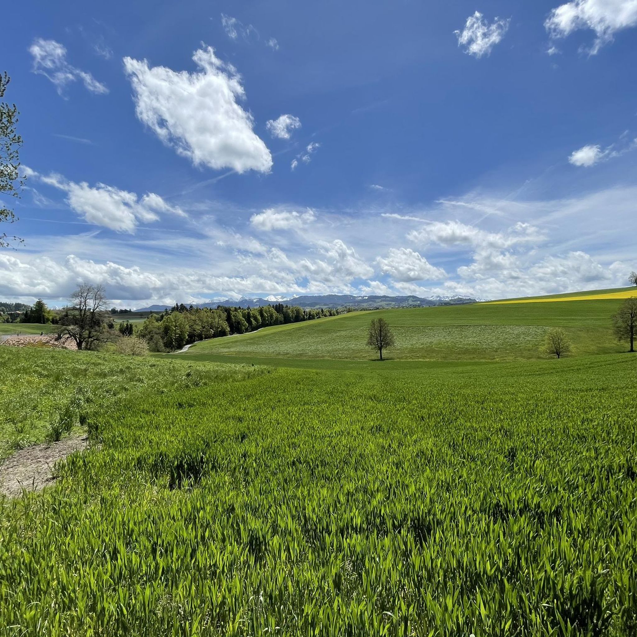
On the heights of the Sense, the landscape rises up to admire the valley and the Alps in the distance.
0
0

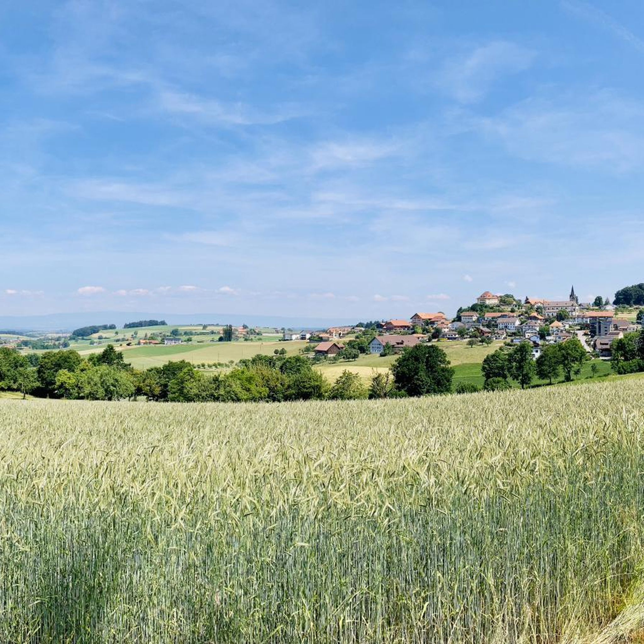
The whole village at a glance! In Rechthalten there is a good restaurant and a café/tearoom. Nobody has to go hungry.
0
0

The partially restored ruin is a place with historical charm and invites you to linger.
1
0

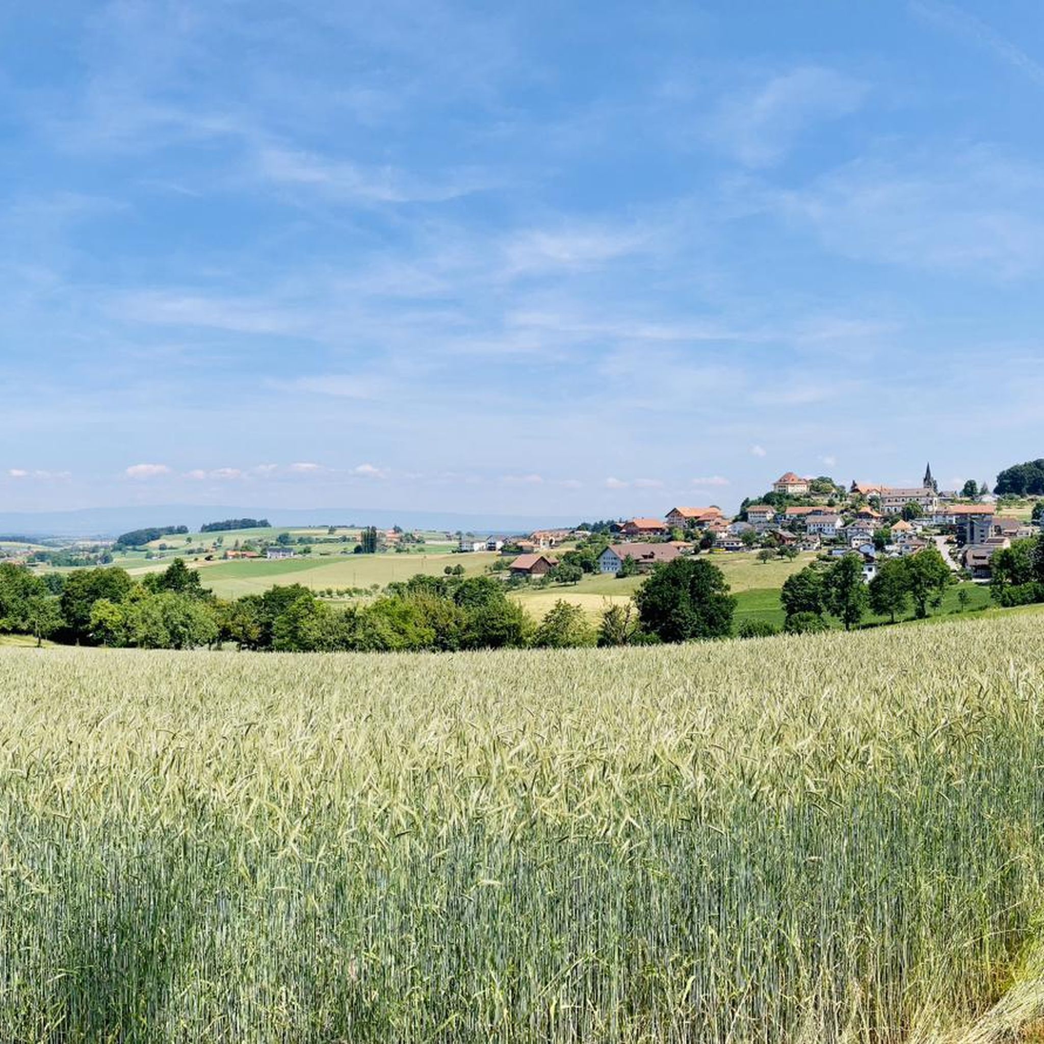
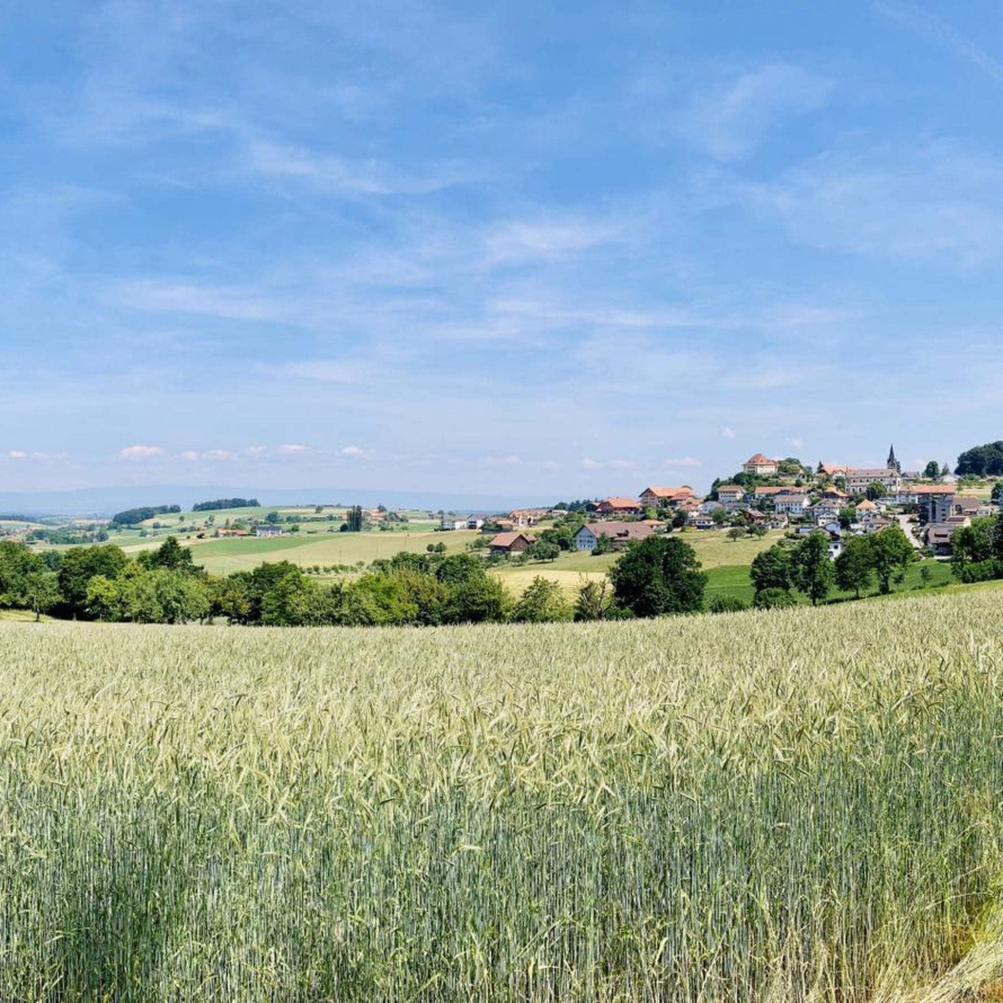
From this place you have a wonderful view of Heitenried. It also has a bench to relax on.
0
0

Beautiful trail towards Schwarzenburg
3
0
It's worth stopping here for a moment. On the right under a large tree you will find a bench. Great view of Heitenried.
0
0

The Grasburg is not only the largest ruin in the canton of Bern, but also a real eye-catcher high above the lively Sense. The rock falls vertically on its outer walls and the castle complex is lined with dense forest. Below the castle there is a pretty barbecue area and two more above in the former courtyard. Since the building fabric is in poor condition, large parts of the Grasburg will remain wrapped in scaffolding until autumn 2023. The path to the ruins leads steeply downhill and a steep staircase then leads up to the castle. Hiking poles can be useful.
1
0
Frequently Asked Questions
How many running routes are available around Heitenried?
There are over 10 dedicated running routes around Heitenried, all rated as moderate difficulty. These trails offer a consistent challenge through varied terrain, including rolling hills and forested areas.
What is the typical length and duration of running trails in Heitenried?
The running routes in Heitenried vary in length, with options ranging from approximately 3.4 miles (5.4 km) to 7 miles (11.3 km). Depending on the route, you can expect to spend anywhere from 35 minutes to over an hour and a half completing a run.
Are there any circular running routes in Heitenried?
Yes, all the featured running routes in Heitenried are circular loops. For example, the Running loop from Heitenried is a popular 4.9-mile (7.8 km) option, and the Sangeraholz loop from Heitenried offers a shorter 3.4-mile (5.4 km) circular path through shaded forest.
What kind of scenery can I expect on the jogging routes?
The jogging routes in Heitenried offer diverse scenery, from forested areas to open countryside. You can enjoy shaded sections through the Sangeraholz forest or explore routes that pass by historical sites. For example, the Grasburg Castle Ruins loop from Heitenried takes you past historic ruins, while the St. Apollonia Chapel – View of Heitenried loop from Heitenried provides scenic vistas of the surrounding landscape.
Are the running trails in Heitenried suitable for beginners?
All running routes in Heitenried are classified as moderate difficulty. While not specifically 'easy', beginners with a reasonable fitness level can enjoy the shorter moderate trails. We recommend starting with routes like the Sangeraholz loop from Heitenried, which is 3.4 miles (5.4 km) long, to get accustomed to the terrain.
Are there any family-friendly running options in Heitenried?
Given that all routes are moderate, families with older children who are accustomed to running or hiking will find suitable options. The shorter loops, such as the 3.4-mile (5.4 km) Sangeraholz loop from Heitenried, could be a good starting point for active families.
What are some interesting landmarks or attractions near the running routes?
Several running routes pass by interesting landmarks. The Grasburg Castle Ruins loop from Heitenried leads directly past the historic Grasburg Castle Ruins. Other nearby attractions include the Old Schwarzwasser Bridge and the Auried Nature Reserve, which can be explored on separate excursions.
Is there parking available near the trailheads in Heitenried?
Many of the running routes in Heitenried start directly from the village, making it convenient to find parking within the community. While specific parking areas are not detailed for each route, general village parking is usually available for visitors.
What do other runners say about the trails in Heitenried?
The running trails in Heitenried are highly regarded by the komoot community, boasting an average rating of 4.3 stars from over 80 reviews. Runners frequently praise the varied terrain, the well-maintained paths, and the scenic beauty of the forested sections and open countryside.
Are the running routes in Heitenried suitable for winter jogging?
While the routes are accessible year-round, winter conditions can introduce snow and ice, especially in forested and shaded areas. It's advisable to check local weather conditions and trail reports before heading out and to wear appropriate footwear and gear for potentially slippery surfaces.
Are there any longer running routes for experienced runners?
Yes, for those looking for a longer challenge, the St. Apollonia Chapel – Gagenmüli Fountain loop from Heitenried is a notable option. This route spans approximately 7 miles (11.3 km) and features moderate elevation changes, providing a more extended workout through the Heitenried landscape.
Most popular routes around Heitenried
Most popular attractions around Heitenried

Get inspired with the komoot mobile app


Explore more
Browse the best Running Trails & Routes in other regions.
