The best walks and hikes around Königstetten
4.6
(4984)
25,001
hikers
64
hikes
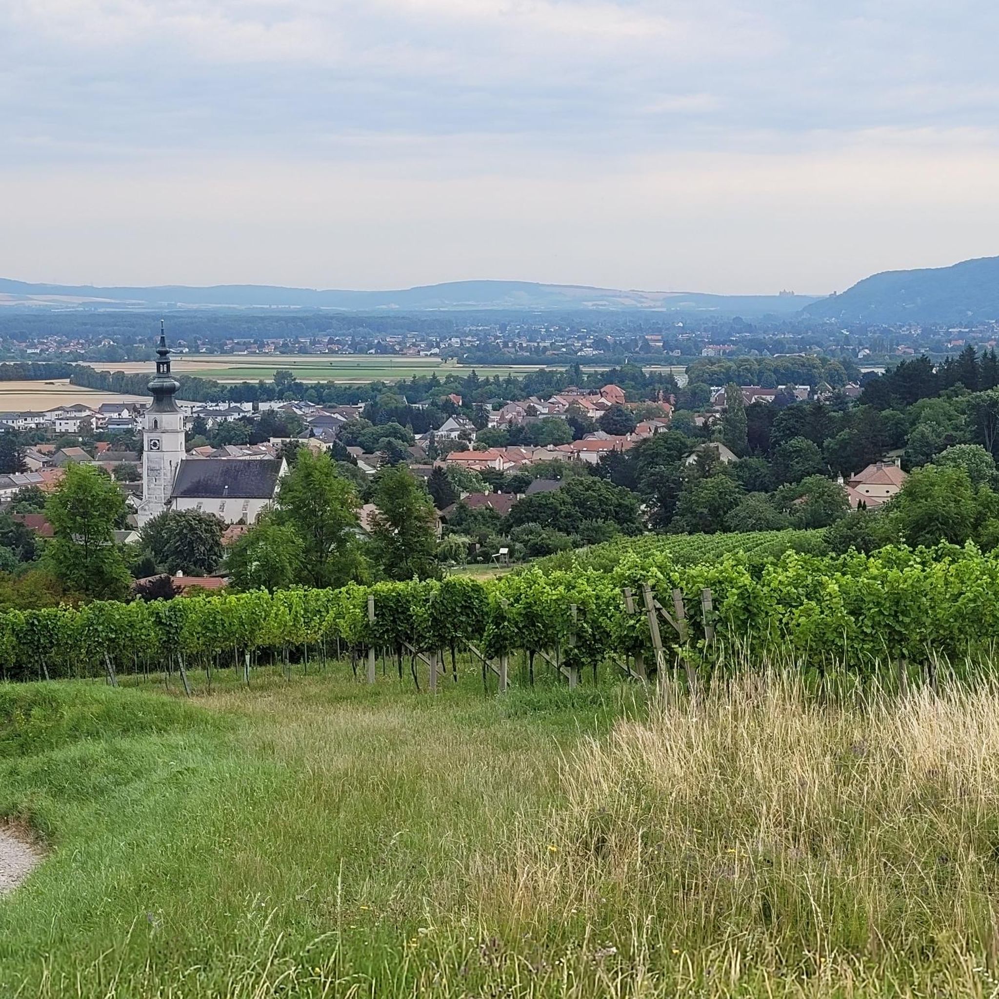
Hiking around Königstetten offers diverse landscapes in Lower Austria's Tulln district, characterized by rolling hills, vineyards, and proximity to the Wienerwald. The region features elevated viewpoints, including the Tulbinger Kogel, the highest elevation in the Tulln district, providing panoramic vistas. Trails often lead through cultivated vineyards and connect to broader natural areas with forests. This varied terrain makes Königstetten suitable for different fitness levels.
Best hiking trails in Königstetten
- The most popular hiking route is Ancient Beech Forest – Millennium…
Last updated: July 5, 2026
4.8
(45)
160
hikers
Hard hike. Very good fitness required. Mostly accessible paths. Sure-footedness required.
4.6
(57)
231
hikers
Moderate hike. Good fitness required. Easily-accessible paths. Suitable for all skill levels.

Sign up for free
4.7
(7)
61
hikers
6.52km
02:08
300m
300m
Moderate hike. Good fitness required. Easily-accessible paths. Suitable for all skill levels.
5.0
(3)
21
hikers
4.64km
01:26
160m
160m
Easy hike. Great for any fitness level. Easily-accessible paths. Suitable for all skill levels.
4.3
(3)
17
hikers
8.25km
02:24
210m
210m
Moderate hike. Good fitness required. Easily-accessible paths. Suitable for all skill levels.
Get access to more routes and recommendations from other explorers.
Sign up for free
Already have an account?
Our route recommendations are based on thousands of hikes, rides, and runs completed by other people on komoot.
Start today with a free account
Your next adventure awaits.
Login or Signup
Tips from the Community

Even near Vienna there is beautiful nature!
0
0

The photo of the bridge does not match the title and location of the highlight. At the specified location is correctly Jupiter; the bridge, however, is located in Peter-Rosegger-Straße and leads over the Marleitenbach. (Bridge currently closed and will likely be demolished.)
1
0

The cafe is great. And at certain times of the year, there are small markets at the Carthusian monastery.
0
0
It is called Fichtenbauer-Kreuz after the donor of the cross, Walter Fichtenbauer. It was donated by him in the course of creating the Edelweißweg.
1
0


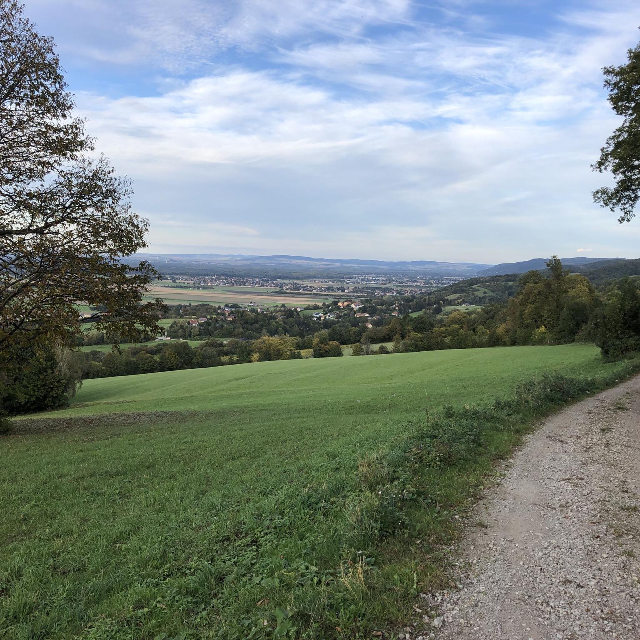
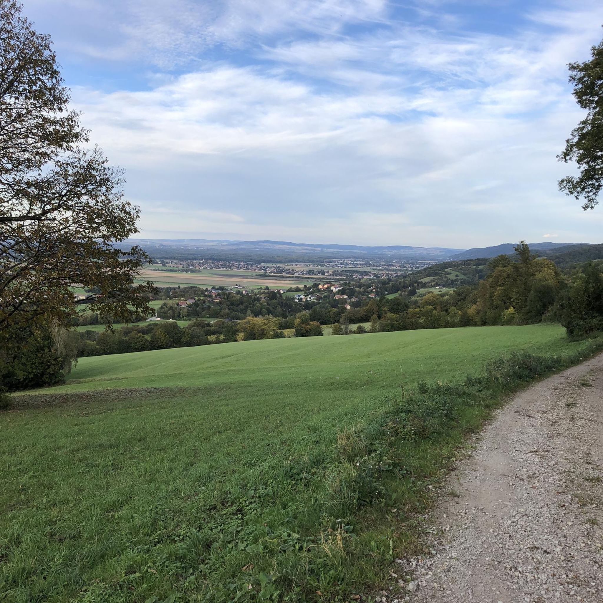
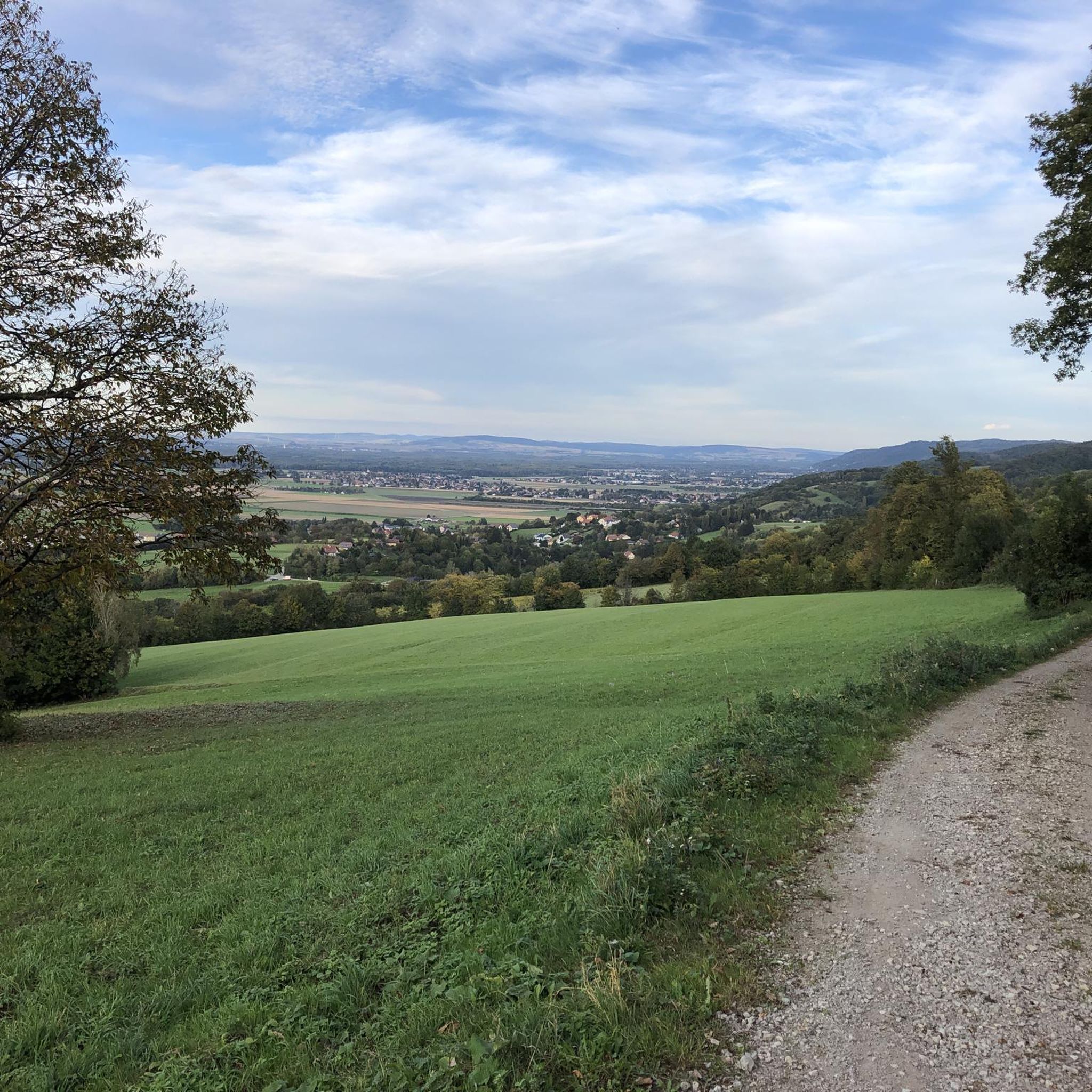
Great view towards Zeiselmauer and the Exelberg
0
0

Excellent mulled wine is available in winter.
6
0

Frequently Asked Questions
What types of landscapes will I encounter on hikes around Königstetten?
Hikes around Königstetten offer a diverse mix of landscapes. You can expect picturesque routes through cultivated vineyards, rolling hills, and extensive forest paths. Many trails provide panoramic views of the expansive Tullnerfeld and the surrounding region, especially from elevated points like the Fragnerplatzl or the Tulbinger Kogel.
How many hiking trails are available in Königstetten, and what are their difficulty levels?
Königstetten offers a wide range of hiking opportunities with over 65 trails. The network caters to various fitness levels, including 30 easy routes perfect for a leisurely stroll, 35 moderate trails for those seeking a bit more challenge, and 2 difficult routes for experienced hikers.
Are there many circular hiking routes in Königstetten?
Yes, many of the hiking routes in Königstetten are designed as circular paths, allowing you to start and end at the same point. For example, you could explore the Saturn Station – Leopold-Figl-Warte loop from Königstetten, which is a moderate 6.5 km trail offering varied scenery.
Are there family-friendly hiking options in Königstetten?
Absolutely. Königstetten features several accessible paths suitable for families, such as the 'Tut gut!'-Schritteweg and the 'Vogelrunde,' both conveniently starting from the main square. Many of the 30 easy routes available are also great for families looking for shorter, less strenuous walks. An example is the Saturn Station – Fragnerplatzl Viewpoint loop from Königstetten, an easy 4.6 km trail.
Can I bring my dog on hikes in Königstetten?
Yes, many trails in Königstetten are dog-friendly, allowing you to enjoy the outdoors with your canine companion. It's generally recommended to keep dogs on a leash, especially in vineyard areas, near livestock, or in nature protection zones, to ensure the safety and comfort of all hikers and wildlife.
When is the best time of year to go hiking in Königstetten?
Königstetten is enjoyable for hiking throughout much of the year. Spring and autumn are particularly beautiful, with blooming vineyards and vibrant fall foliage. Summer offers warm weather for longer excursions, while winter can provide unique, quiet experiences, though some trails might be slippery or require appropriate gear.
What interesting landmarks or natural attractions can I discover while hiking near Königstetten?
While hiking near Königstetten, you can explore several notable attractions. Consider visiting the Troppberg Observation Tower for expansive views, or the serene Greifenstein Danube Oxbow. The Nibelung Monument also offers a cultural point of interest along some routes.
Is parking available at the trailheads in Königstetten?
Yes, parking is generally available at or near the starting points of many hiking trails in Königstetten. Specific parking information can often be found on individual route descriptions on komoot, or by checking local signage upon arrival.
What do other hikers say about their experiences in Königstetten?
The hiking trails in Königstetten are highly regarded by the komoot community, boasting an impressive average rating of 4.7 stars from over 170 reviews. Hikers frequently praise the well-maintained paths, the beautiful vineyard scenery, and the diverse options suitable for all skill levels.
Are there any hikes that offer views of the Wienerwald (Vienna Woods) from Königstetten?
Königstetten's location in Lower Austria places it near the foothills of the Vienna Woods. Hikes to higher elevations, such as the Tulbinger Kogel, can offer glimpses of this broader natural area, connecting the local landscapes with the extensive forests and rolling hills of the Wienerwald region.
Are there any trails that lead through ancient woodlands?
Yes, for those interested in ancient forests, the Ancient Beech Forest – Millennium Oak (Sessile Oak) loop from Königstetten is an excellent choice. This moderate 16.5 km trail takes you through old woodlands, offering a tranquil and immersive nature experience.
Can I find trails with viewpoints that include local farm shops?
Yes, you can combine scenic views with local produce. The Fragnerplatzl Viewpoint – Farm Shop at Waldschenke Staar loop from Königstetten is a moderate 9.7 km path that offers beautiful vistas from Fragnerplatzl and includes a stop at a local farm shop.
Most popular routes around Königstetten
Most popular attractions around Königstetten

Get inspired with the komoot mobile app


Explore more
Browse the best Hikes in other regions.
