The 4 Most Amazing Peaks around Abergele
Best mountain peaks around Abergele are characterized by scenic hills and elevated areas that offer extensive views rather than towering peaks. The maximum elevation directly within the Abergele area is around 315 meters. These locations provide opportunities for walking, exploration, and enjoying the natural landscape. The region's terrain includes historical sites, natural monuments, and summits, making it a diverse area for outdoor activities.
Best mountain peaks around Abergele
- The most popular mountain peaks is Graig Fawr Summit, a natural…
Last updated: October 3, 2026
Castell Cawr
Highlight • Historical Site
Tip by

Graig Fawr Summit
Highlight • Natural Monument
Tip by

Sign up now to discover places like this
Get recommendations on the best single tracks, peaks, & plenty of other exciting outdoor places.
Bryn Euryn Iron Age Hillfort
Highlight • Summit
Tip by

Mynydd y Cwm Memorial
Highlight • Monument
Tip by

Cefn-yr-Ogof Trig Point
Highlight • Monument
Tip by

Start today with a free account
Your next adventure awaits.

Tips from the Community

TP2095 - Cefn-Yr-Ogof | Trig Point | TrigpointingUK | TrigpointingUK https://share.google/wQIeDXyi0H3daeUZZ
0
0

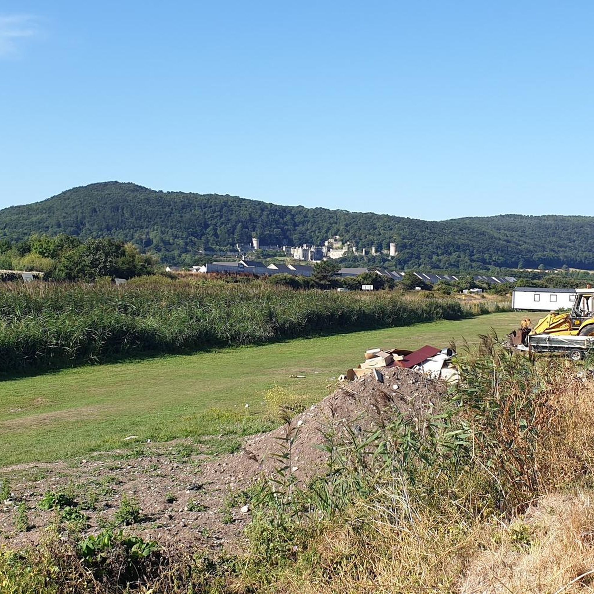
"Castell Cawr, or Tan-y-Gopa as it is known locally, is a heavily forested hill above the town of Abergele in North Wales. On it is found the Iron Age hill fort of Castell Cawr, which overlooks the River Clwyd. Rare lesser horseshoe bats inhabit caves on the hill. The woods are owned by the Woodland Trust. The hill rises to 189 m (620 ft) above sea level, with extensive views to Snowdonia and the Clwydian Range. Thomas Pennant visited the area in the 18th century, and noted the existence of the hillfort. In 1860, James Halliwell-Phillipps wrote that the outline of the hillfort was obscured by vegetation, and identified the workings of a Roman lead mine on the hillside. The Welsh knew these excavations by the name "Ffos-y-bleiddiaid" ("Ditch of the Wolves")" Source: https://en.m.wikipedia.org/wiki/Castell_Cawr
0
0

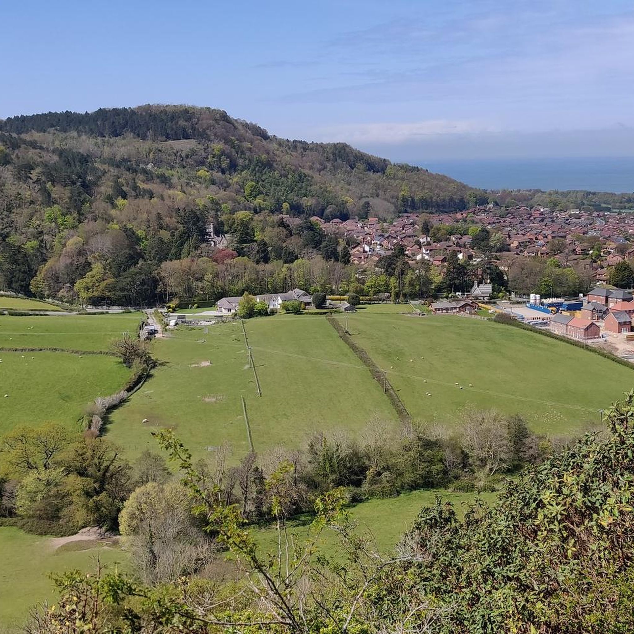
The tranquillity of Bryn Euryn hill, 365 feet above sea level, belies a dramatic yet little known past. Iron and Dark Age strongholds, the medieval castle of a notable Welshman and a later fortified mansion have all been built here, and a Roman expeditionary force disappeared nearby. Bryn Euryn rises above the North Wales town of Colwyn Bay, dominating the old Welsh kingdom of Rhos. The ancient fortresses stood on its summit and the ruins of the fortified mansion are on its seaward slope. Historical records hint that Ednyfed had a castle here but where was it? The site commands extensive views of the Conwy Valley and coast, and was once the location of a hillfort, which was initially excavated in the autumn of 1997 for the Gwynedd Archaeological Trust. The excavations revealed a "massive, well-built" wall formed from quarried limestone, believed to have once been 3 m (9.8 ft) high and to have been fronted by 3.5 m (11 ft) of rubble. There were no archaeological discoveries permitting a certain identification, but the pre-Norman layout led David Longley, the study's director, to connect it with the early-6th century king of Rhos Cynlas the Red on the basis of the "Bear Den" (Latin: receptaculi ursi) mentioned in Gildas's passage on him and the surviving local name of the area as Dinerth, "Fort Bear" The hilltop was used again in World War II first as an observation post by the Home Guard; it was then used by the RAF as one of the first radar posts used to detect German bombers heading to Liverpool.[
0
0

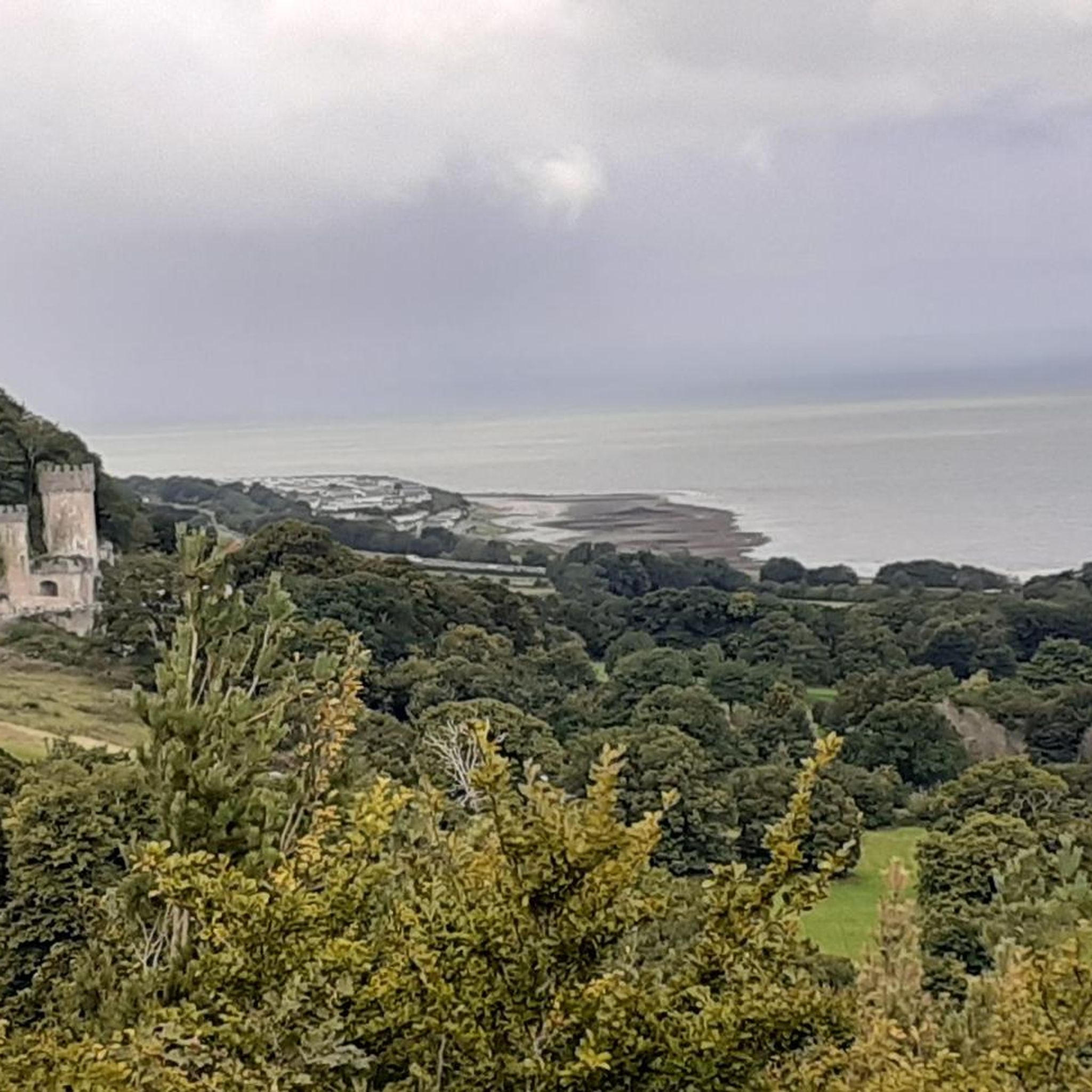
A dramatic hill that rises sharply from the coastal plain, From the top, there are fantastic views across the coast and towards the surrounding hills - and even to Snowdonia and England on a clear day. The whole site is owned by the National Trust and includes lots of footpaths to explore.
1
0

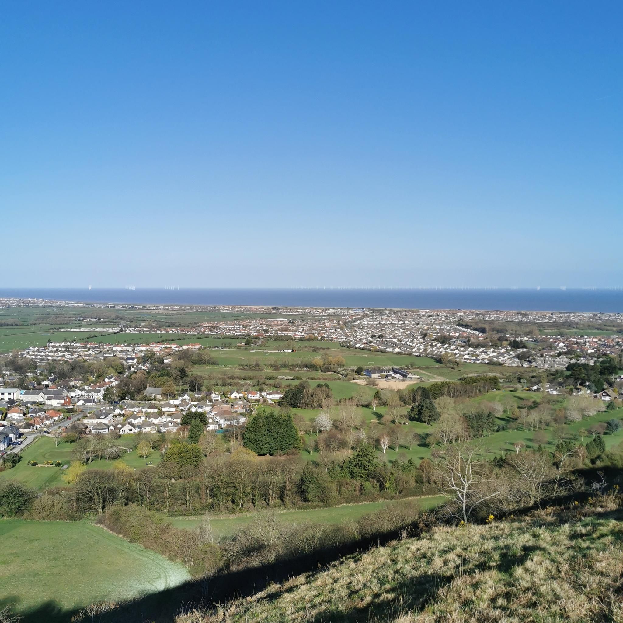
Mynydd y Cwm is a hill in the Clwydian Range in Denbighshire, North Wales. It reaches a height of 304.8 metres. It has recently been promoted to Marilyn status having a prominence of 150 metres. There is a memorial on the summit and a large woodland.
2
0
Frequently Asked Questions
What are the most notable hills and elevated areas to explore around Abergele?
While Abergele is known for its scenic hills rather than towering mountains, several offer excellent walking and views. Key spots include Castell Cawr, known for its Iron Age hill fort and extensive views, Graig Fawr Summit with dramatic coastal views, and Bryn Euryn Iron Age Hillfort, rich in history. Mynydd y Cwm, part of the Clwydian Range, also offers a significant elevation and a memorial at its summit.
Are there any historical sites or ancient ruins on these hills?
Yes, the hills around Abergele are rich in history. Castell Cawr features an Iron Age hill fort overlooking the River Clwyd. Bryn Euryn Iron Age Hillfort is particularly notable, with remains of Iron and Dark Age strongholds, a medieval castle, and a later fortified mansion, offering insights into the ancient Welsh kingdom of Rhos.
What kind of views can I expect from the peaks around Abergele?
The elevated areas around Abergele offer diverse and expansive views. From Castell Cawr, you can see towards Snowdonia and the Clwydian Range. Graig Fawr Summit provides fantastic panoramas across the coast, surrounding hills, and on clear days, even as far as Snowdonia and England. Mynydd Marian also offers panoramic views over the coastline and countryside, extending across the Irish Sea.
Are there family-friendly walking options among the hills near Abergele?
Yes, there are several options for family-friendly walks. The National Trust owns Graig Fawr Summit, which has numerous footpaths suitable for exploration. Additionally, komoot offers a guide to Easy hikes around Abergele, which includes routes like the Castell Cawr loop, perfect for a less strenuous outing.
What natural features or wildlife can I observe on these hills?
The hills are home to interesting natural features and wildlife. The woods of Castell Cawr are owned by the Woodland Trust, and rare lesser horseshoe bats inhabit caves on the hill. Mynydd Marian, a limestone hill and nature reserve, is known for its rare wildflowers, birds, and butterflies, making it a haven for nature lovers.
What outdoor activities can I do near these mountain peaks besides hiking?
Beyond hiking, Abergele's location provides opportunities for various outdoor activities. You can explore traffic-free bike rides or discover exciting MTB trails around Abergele. These guides offer routes of varying difficulties, allowing you to experience the region's diverse landscapes on two wheels.
What is the best time of year to visit the hills around Abergele?
The hills around Abergele can be enjoyed year-round, but spring and autumn often offer the most pleasant conditions for walking, with mild temperatures and beautiful scenery. Spring brings wildflowers, especially on Mynydd Marian, while autumn showcases vibrant foliage. Summer is also popular, though it can be busier, and clear days are ideal for enjoying the extensive views.
Are there any significant elevations or 'Marilyns' in the Abergele area?
Yes, Mynydd y Cwm, located in the Clwydian Range, reaches a height of 304.8 meters (1,000 feet) and has recently been promoted to 'Marilyn' status due to its prominence. While not towering mountains, these hills offer substantial climbs and rewarding views.
Where can I find easy hiking trails around Abergele?
For easy hiking trails, komoot has a dedicated guide for Easy hikes around Abergele. This guide features routes like the Castell Cawr loop, which is an easy 5.5 km walk, perfect for a relaxed outdoor experience.
Can I access larger mountain ranges like Snowdonia from Abergele?
Yes, Abergele serves as an excellent base for accessing larger mountain ranges. Snowdonia National Park, home to peaks like Snowdon (Yr Wyddfa) at 1,085 meters (3,560 feet), is easily accessible from Abergele for those seeking more challenging mountain experiences. For more information on mountain ranges in Wales, you can visit Visit Wales.
Most popular routes around Abergele
Most popular attractions around Abergele

Get inspired with the komoot mobile app


Explore more
See even more amazing summits around Abergele with these guides:
