The 4 Most Amazing Peaks around Llanddulas And Rhyd-Y-Foel
Mountain peaks around Llanddulas And Rhyd-Y-Foel are characterized by limestone hills and ridges in the Conwy county borough of Wales. This area offers elevated terrain with scenic views, historical interest, and walking opportunities. Notable features include prominent limestone hills, historic hillforts, and sites with local folklore. The region provides diverse natural landscapes for exploration.
Best mountain peaks around Llanddulas And Rhyd-Y-Foel
- The most popular mountain peaks is Little Orme Summit and Trig Point, a natural monument that features a…
Last updated: October 3, 2026
Castell Cawr
Highlight • Historical Site
Tip by

Little Orme Summit and Trig Point
Highlight • Natural Monument
It's a limestone outcrop like the …
Tip by

Sign up now to discover places like this
Get recommendations on the best single tracks, peaks, & plenty of other exciting outdoor places.
Bryn Euryn Iron Age Hillfort
Highlight • Summit
Tip by

View of Little Orme (Trwyn y Fuwch)
Highlight • Climb
Tip by

Cefn-yr-Ogof Trig Point
Highlight • Monument
Tip by

Start today with a free account
Your next adventure awaits.
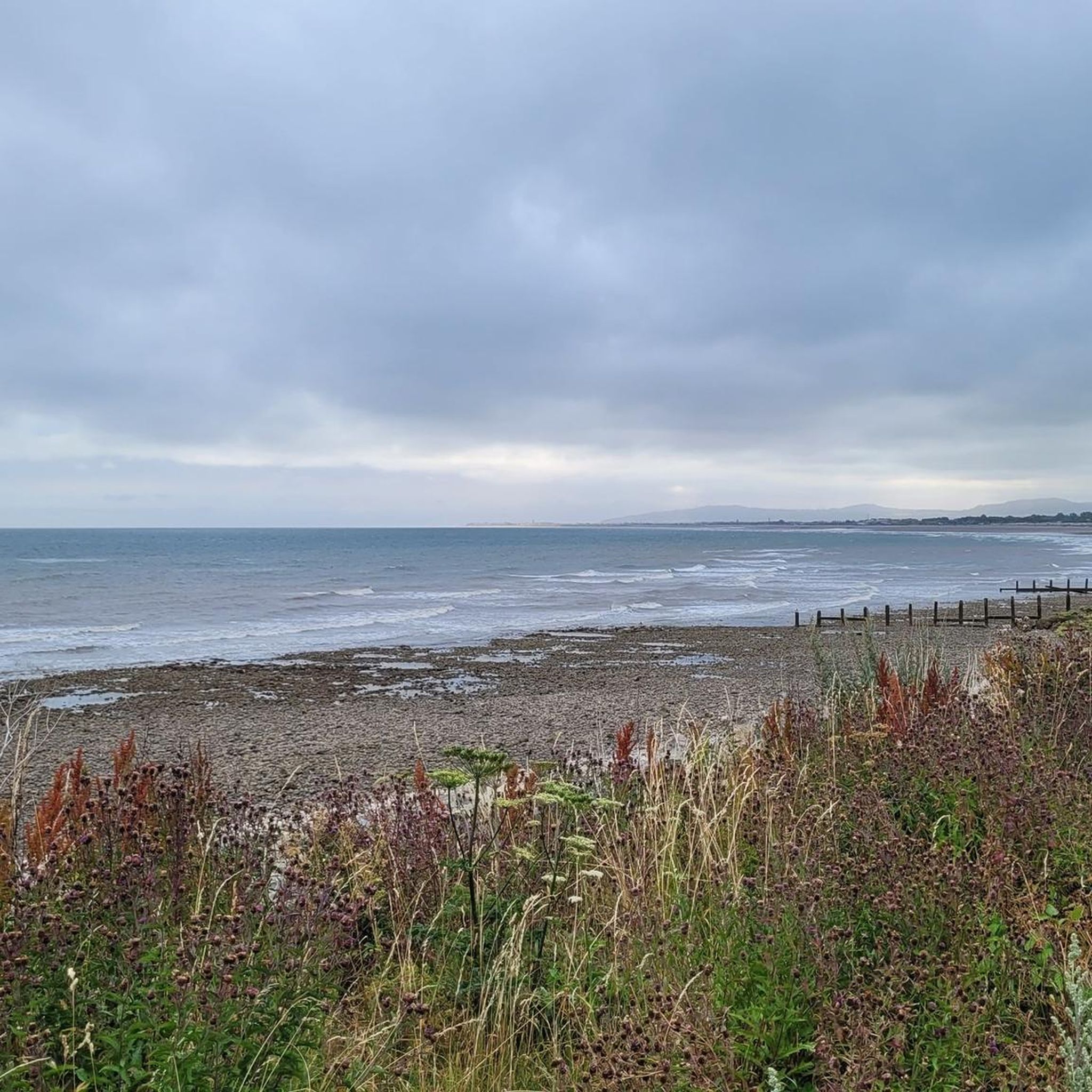
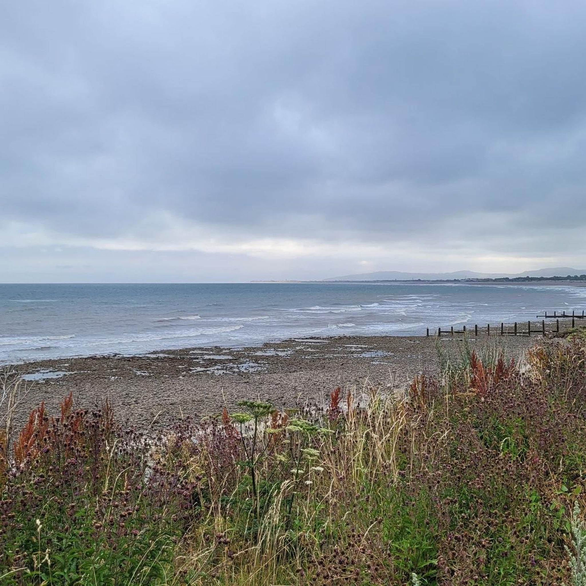
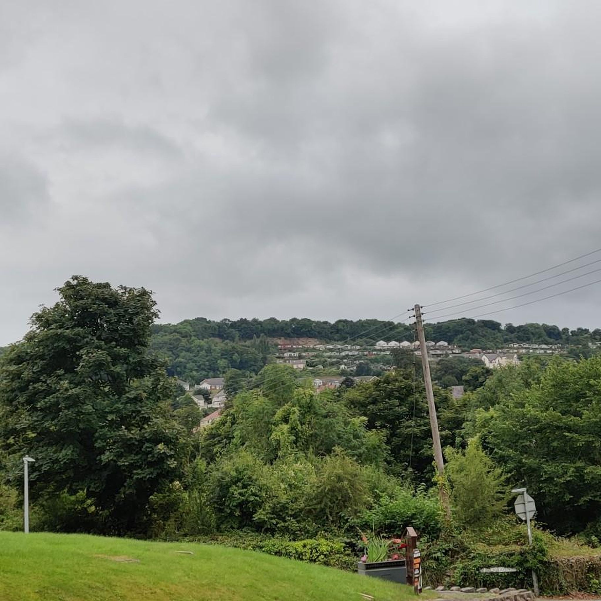
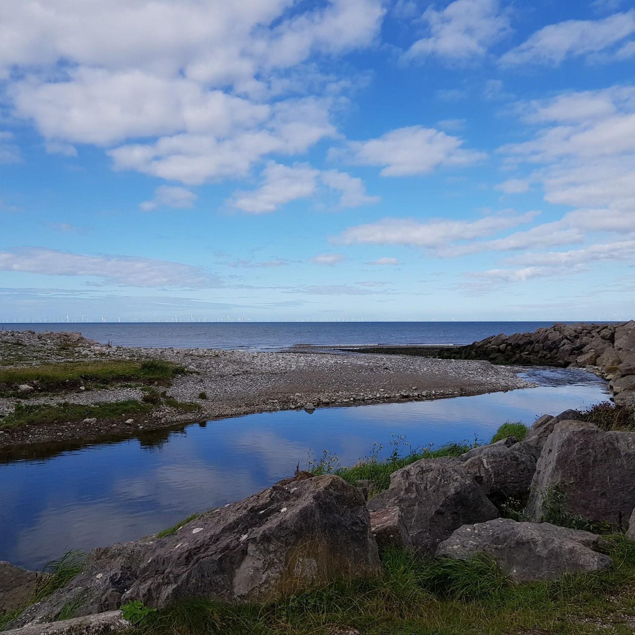
Tips from the Community

TP2095 - Cefn-Yr-Ogof | Trig Point | TrigpointingUK | TrigpointingUK https://share.google/wQIeDXyi0H3daeUZZ
0
0

"Castell Cawr, or Tan-y-Gopa as it is known locally, is a heavily forested hill above the town of Abergele in North Wales. On it is found the Iron Age hill fort of Castell Cawr, which overlooks the River Clwyd. Rare lesser horseshoe bats inhabit caves on the hill. The woods are owned by the Woodland Trust. The hill rises to 189 m (620 ft) above sea level, with extensive views to Snowdonia and the Clwydian Range. Thomas Pennant visited the area in the 18th century, and noted the existence of the hillfort. In 1860, James Halliwell-Phillipps wrote that the outline of the hillfort was obscured by vegetation, and identified the workings of a Roman lead mine on the hillside. The Welsh knew these excavations by the name "Ffos-y-bleiddiaid" ("Ditch of the Wolves")" Source: https://en.m.wikipedia.org/wiki/Castell_Cawr
0
0

Trig point on top of the little orme. Gives panoramic views of the Irish sea, Snowdonia, Conwy, Denbighshire, Llandudno and the Great Orme.
0
0
The tranquillity of Bryn Euryn hill, 365 feet above sea level, belies a dramatic yet little known past. Iron and Dark Age strongholds, the medieval castle of a notable Welshman and a later fortified mansion have all been built here, and a Roman expeditionary force disappeared nearby. Bryn Euryn rises above the North Wales town of Colwyn Bay, dominating the old Welsh kingdom of Rhos. The ancient fortresses stood on its summit and the ruins of the fortified mansion are on its seaward slope. Historical records hint that Ednyfed had a castle here but where was it? The site commands extensive views of the Conwy Valley and coast, and was once the location of a hillfort, which was initially excavated in the autumn of 1997 for the Gwynedd Archaeological Trust. The excavations revealed a "massive, well-built" wall formed from quarried limestone, believed to have once been 3 m (9.8 ft) high and to have been fronted by 3.5 m (11 ft) of rubble. There were no archaeological discoveries permitting a certain identification, but the pre-Norman layout led David Longley, the study's director, to connect it with the early-6th century king of Rhos Cynlas the Red on the basis of the "Bear Den" (Latin: receptaculi ursi) mentioned in Gildas's passage on him and the surviving local name of the area as Dinerth, "Fort Bear" The hilltop was used again in World War II first as an observation post by the Home Guard; it was then used by the RAF as one of the first radar posts used to detect German bombers heading to Liverpool.[
0
0
The Little Orme (Welsh: Rhiwledyn, also known as Trwyn y Fuwch, Trwyn y Gogarth and Y Gogarth Fach) is 141 metres (463 ft) in height, and is a HuMP (having a minimum Hundred Metre Prominence). It is one of two headlands situated at either end of Llandudno Bay, in Conwy County Borough, Wales. The other, larger, headland is the Great Orme. It has two summits, the higher with a trig point. The cliffs are a popular challenge for highly experienced rock climbers. The Coast Guard Rescue Unit use the Little Orme for training. Otherwise, it is a popular sightseeing location and walking/hiking site. The Little Orme was inhabited during the Mesolithic and Neolithic eras, notably the Pant y Wennol cave. A small hoard of Iron Age Celtic metalwork was found in a cave on the Little Orme. The medieval chapel of Blessed Mary of Penrhyn, abandoned in 1930 and now in ruins, is at the foot of the Little Orme in the grounds of Penrhyn Hall at Penrhyn Bay. On 14 April 1587, printing material for Catholic literature was found in a cave on the Little Orme, where it had been used by the recusant Robert Pugh (squire of Penrhyn Hall) and his Chaplain Father William Davies to print Y Drych Cristianogawl (The Christian Mirror), the first book to be printed in Wales. They had taken refuge there during the persecution of Catholics instigated by Queen Elizabeth I in May 1586. The Royal Artillery coastal gunnery school, 198 battery, was posted to Little Orme during the Second World War. Target practice was undertaken from the headland to anchored boats, and unspent ammunition and unexploded shells may still be encountered offshore. Gun emplacements and ancillary buildings were in situ until at least the early 1960s, but the site has since been 'landscaped'.
0
0

Trwyn Y Fuwch has a very large rock formation of hills, these stick out considerably as you ride along the flat promenade. When you get close to then you realise the size
0
0
So much to discover on this little gem of a place.
0
0
Beatiful views across the bay of llandudno and Snowdonia park in the distance.
0
0
Frequently Asked Questions
What are some of the most scenic mountain peaks in the Llanddulas and Rhyd-Y-Foel area?
For breathtaking coastal views, Mynydd Marian is highly regarded. You can also find amazing vistas from the Little Orme Summit and Trig Point, which offers views across Llandudno Bay and Snowdonia. Another excellent viewpoint is Cefn-yr-Ogof Trig Point, providing elevated perspectives over Llanddulas.
Are there any mountain peaks with historical significance in the region?
Yes, the area is rich in history. Pen y Corddyn Mawr, located south of Rhyd-Y-Foel, hosts a historic hillfort with Romano-British and early Medieval Period history. Another significant site is Castell Cawr, an Iron Age hill fort above Abergele. Additionally, Bryn Euryn Iron Age Hillfort offers insights into ancient strongholds and medieval castles.
What natural features can I explore on these peaks?
Cefn-yr-Ogof is notable for its large caves, which are part of a Site of Special Scientific Interest. The Little Orme features dramatic limestone cliffs and is known for its sheltered beaches where seals can often be spotted. The area around Pen y Corddyn Mawr is characterized by a large limestone plateau with precipitous cliffs.
Are there family-friendly hiking options near these mountain peaks?
Yes, there are several family-friendly routes. For example, the 'Castell Cawr – Cave Entrance in North Wales loop from Abergele' is an easy 4.1 km hike. You can find more options in the Family-friendly hikes around Llanddulas And Rhyd-Y-Foel guide.
What are some easier mountain walks for beginners in the Llanddulas area?
Beginners can enjoy walks like the 'Cave Entrance in North Wales – Castell Cawr loop from Abergele' (5.5 km, easy) or the 'Llanddulas Caravan Park – Abergele Beach Walk loop from Llanddulas' (2.5 km, easy). More easy routes are detailed in the Easy hikes around Llanddulas And Rhyd-Y-Foel guide.
What hiking trails are available near the mountain peaks?
The region offers a variety of hiking trails. You can explore coastal paths, countryside routes, and trails leading to viewpoints. For instance, the 'Colwyn Bay-Llanddulas-Llysfaen circular route' provides pretty views and covers sections of the North Wales Path. Many routes are available, including those starting from bus stations, which you can find in the Hikes from bus stations around Llanddulas And Rhyd-Y-Foel guide.
What is the best time of year to hike the mountain peaks in Llanddulas and Rhyd-Y-Foel?
The area is generally pleasant for hiking during spring, summer, and early autumn. These seasons offer milder weather and better visibility for enjoying the coastal and valley views. Always check local weather forecasts before heading out.
Are there any peaks associated with local folklore or legends?
Yes, Pen y Cefn is steeped in local folklore. A cave on its side was, according to legend, once believed to be the abode of the Devil until an exorcism was performed by the people of Llanddulas, adding a unique cultural dimension to this natural landmark.
Do I need permits to hike peaks like Pen y Corddyn Mawr or Cefn-yr-Ogof?
Generally, you do not need permits for hiking on the public footpaths and access land around peaks like Pen y Corddyn Mawr or Cefn-yr-Ogof. However, always respect private land and follow the Countryside Code. Some areas, like Cefn-yr-Ogof, are protected as SSSIs, so stick to designated paths.
What do visitors enjoy most about the mountain peaks around Llanddulas and Rhyd-Y-Foel?
Visitors frequently highlight the incredible panoramic views, especially of the coastline and Snowdonia, from spots like Mynydd Marian and the Little Orme Summit. The historical significance of sites like Pen y Corddyn Mawr and Castell Cawr also adds a compelling dimension to their visits, combining natural beauty with rich heritage.
Most popular routes around Llanddulas And Rhyd-Y-Foel
Most popular attractions around Llanddulas And Rhyd-Y-Foel

Get inspired with the komoot mobile app


Explore more
See even more amazing summits around Llanddulas And Rhyd-Y-Foel with these guides:
