Llanfihangel Aberbythych
Llanfihangel Aberbythych
The 5 Most Amazing Peaks around Llanfihangel Aberbythych
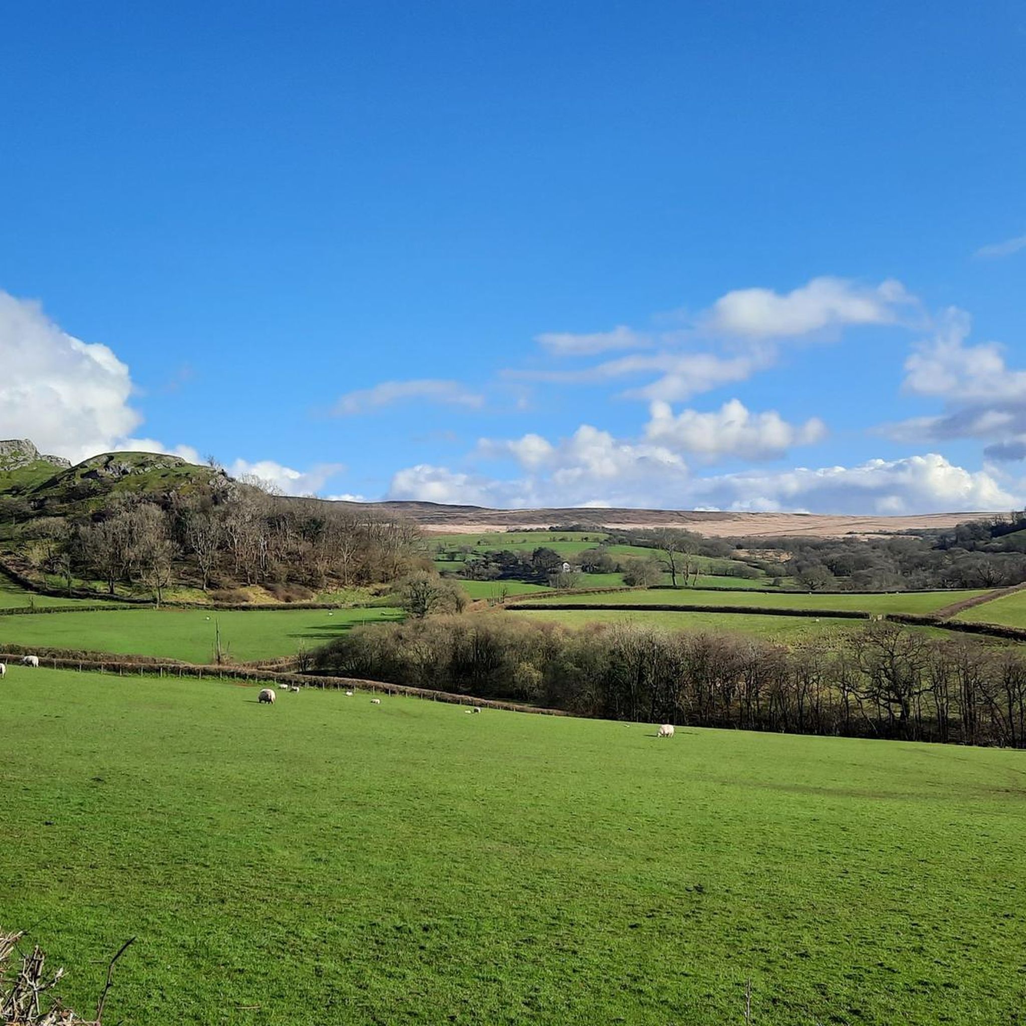
Best mountain peaks around Llanfihangel Aberbythych are found in a region characterized by rolling hilly countryside and the flood-plain of the Afon Tywi river. While local elevations within the parish reach almost 250 meters, the nearby Black Mountain offers heights exceeding 600 meters. The landscape primarily consists of pasture, with numerous trails for walks and hikes. This area provides viewpoints of Carmarthen Bay and features historical sites.
Best mountain peaks around Llanfihangel Aberbythych
- The most popular mountain peaks is Garn…
Last updated: July 13, 2026
Garn Goch Hill Forts
Highlight • Natural Monument
Tip by

Tair Carn Isaf Summit
Highlight • Natural Monument
Tip by

Sign up now to discover places like this
Get recommendations on the best single tracks, peaks, & plenty of other exciting outdoor places.
Sign up for free
Penlle'r Castell Earthworks, Mynydd y Betws
Highlight • Castle
Tip by

Mynydd Llangyndeyrn Summit and Standing Stones
Highlight • Viewpoint
Tip by
View from Mynydd Sylen
Highlight • Summit
Tip by

Start today with a free account
Your next adventure awaits.
Login or Signup
Tips from the Community

At just 440 metres Tair Carn Isaf is a modestly sized hill, but its prominence at the western end of the Black Mountain, high above the Amman Valley, affords extensive views over central south Wales, into Powys, west to the Preselis, and over the Gower Peninsula and Severn Estuary.
0
0

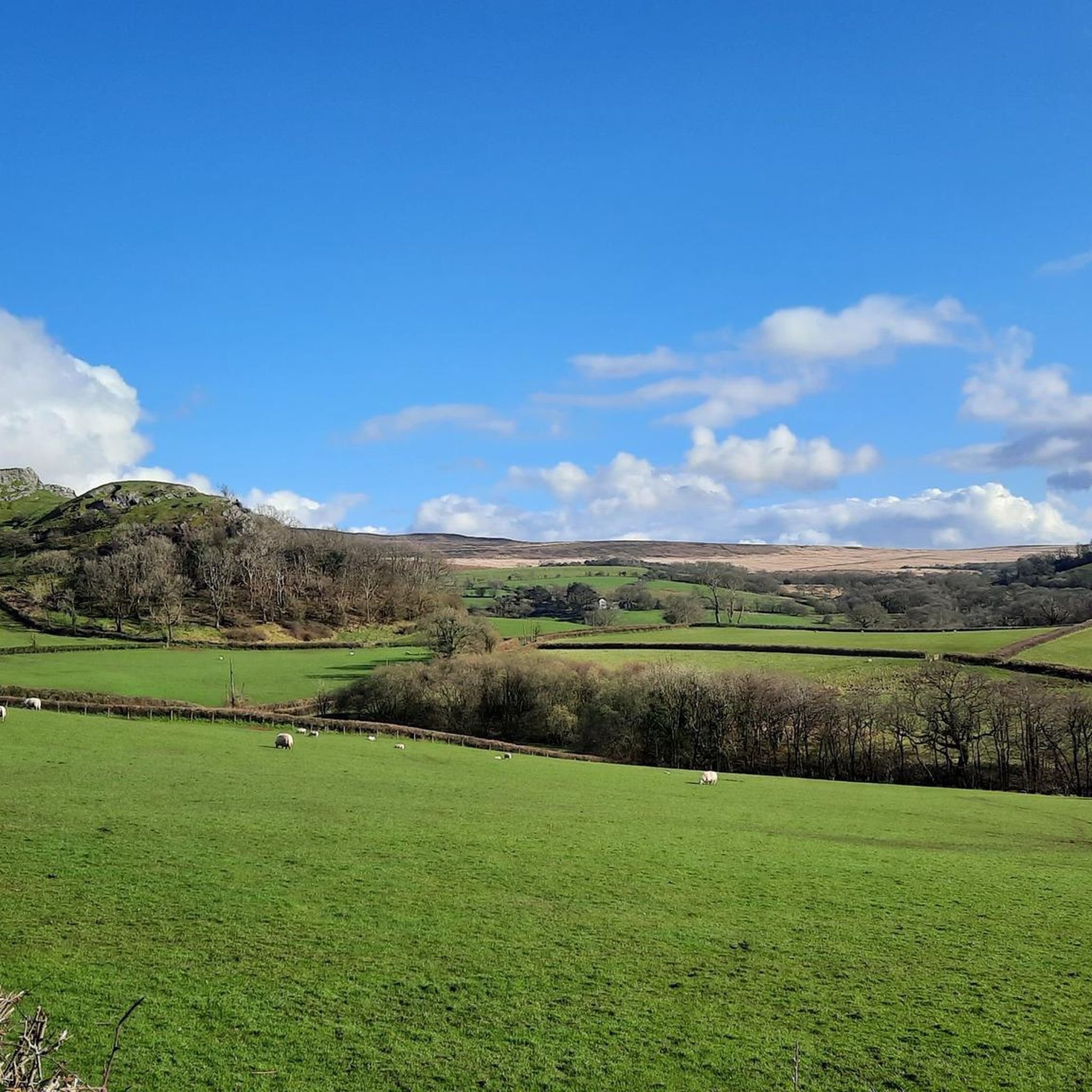
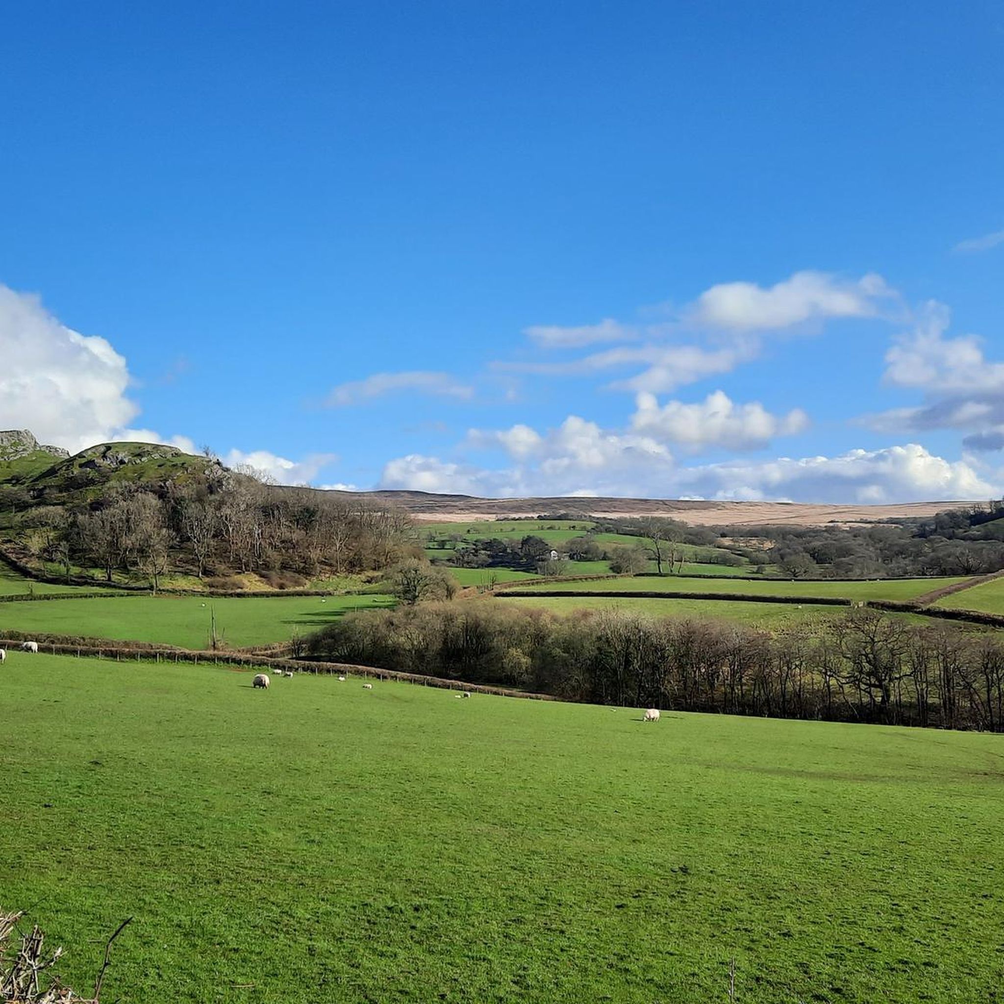
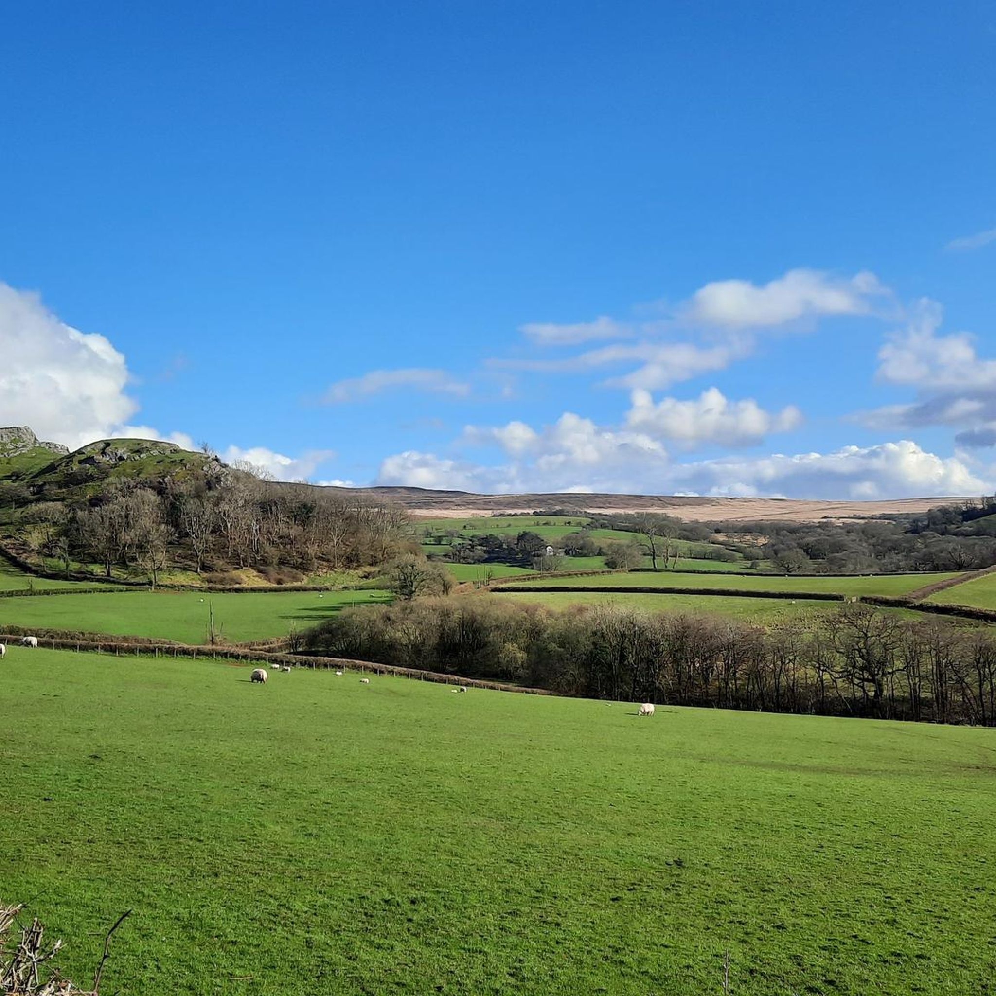
This is a very undervalued area of the western Brecon Beacons. The walking here is raw and wild, which is one of the reasons why it is also a quieter part of the park, so it will appeal to many. Here you also will find some of the best examples of Iron Age hillforts you can ever hope to see anywhere. Y Garn Goch and Y Gaer Fach are some of the most impressive hill forts in Wales. At 11.2 and 1.5 hectares, respectively, these are impressive structures and in their day provided considerable defensive structures to the native inhabitants. The large stone defensive ramparts, which are large rubble banks today, once stood 10m high and 5m thick. You can access both forts from a small car park at the base of the hill.
1
0

Tair Carn Isaf at 460m stands at the western end of the Brecon Beacons National Park. This position creates amazing views south over the Gower and out to the Bristol Channel and west towards Pembrokeshire. There are three stone cairns on the summit, one has a trig point.
3
0

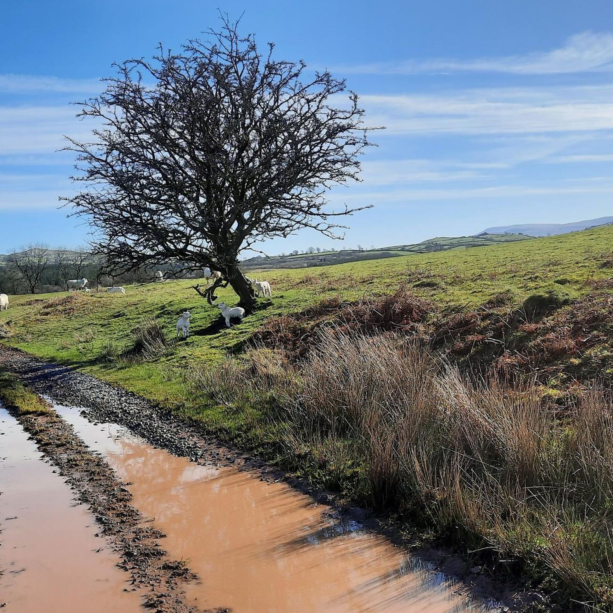
A beautiful view and many small plants to discover.
1
0

The height of the summit from sea level is 284 meters (932 ft). You will have enjoyed some sustained climbing and steep grades by the time you get here! But you're rewarded with some fine views.
1
0

Garn Goch is a 774-foot (236 m) hill above the village of Bethlehem in the far west of the Brecon Beacons National Park. It is particularly notable for its Neolithic history, with two Iron Age forts: Y Gaer Fawr and Y Gaer Fach or the Big Fort and the Little Fort in English. These are the largest hill fort remains in South Wales.
2
0
Mynydd Llangyndeyrn is a Site of Special Scientific Interest (SSSI) in Carmarthen & Dinefwr, Wales. It is a hill reaching 263 metres (863 feet), which is a UK listed Marilyn. It is located west of Drefach and north of Pontyberem. The SSSI is approximately 1.3 miles (2.1 km) east-west and 0.3 miles (0.48 km) north-south, taking the approximate shape of a horns downwards shallow crescent. As well as a trig point there are the remains of several prehistoric round cairns, burial mounds and a standing stone probably dating to the Bronze Age (c.2300 BC - 800 BC) arranged along the ridge of Mynydd Llangynderyn.
3
0
Mynydd y Betws is a mountain or large hill located on the border between Swansea and Carmarthenshire in South Wales, between Ammanford and Clydach. It is an area of upland with large stretches of tussocky grassland. The medieval castle of Penlle'r Castell is located near the highest point and the Mynydd y Betws Wind Farm is prominent with fifteen 110 m (361 ft) wind turbines. It is a UK listed Marilyn. Penlle'r Castell - Visible at this site are a series of impressive earthworks with deep ditches and some fragments of the stone buildings that must have topped them. It may have had two stone towers, probably made of dry stone walls because there are no signs of any mortar having been used. It may not have been permanently manned.
4
0
Frequently Asked Questions
What are the most notable elevated points and peaks around Llanfihangel Aberbythych?
While Llanfihangel Aberbythych itself features rolling hills, the broader area offers several significant elevated points. These include the ancient Garn Goch Hill Forts, the prominent Tair Carn Isaf Summit, and Penlle'r Castell Earthworks, Mynydd y Betws. The nearby Black Mountain also presents more challenging terrain.
Are there any historical sites located on or near the peaks in this region?
Yes, the area is rich in history. You can explore the Garn Goch Hill Forts, which are the largest Iron Age hill fort remains in South Wales. Additionally, Penlle'r Castell Earthworks, Mynydd y Betws features impressive medieval earthworks and fragments of stone buildings. Mynydd Llangyndeyrn Summit and Standing Stones also hosts prehistoric round cairns and a Bronze Age standing stone.
Where can I find the best panoramic views from the peaks?
For extensive panoramic views, head to Tair Carn Isaf Summit. From its 460-meter elevation, you can see south over the Gower Peninsula, out to the Bristol Channel, and west towards Pembrokeshire. View from Mynydd Sylen also offers fine views after a sustained climb.
What kind of terrain can I expect when hiking these elevated areas?
The terrain around Llanfihangel Aberbythych is characterized by rolling hilly countryside and pastureland. While some areas offer easy walks, others like Garn Goch Hill Forts provide a wilder, less-visited walking experience. Expect sustained climbing and steep grades on some routes, such as those leading to Mynydd Sylen.
Are there any less-visited or 'wild' walking experiences available?
Yes, Garn Goch Hill Forts offers a raw and wild walking experience. It's an undervalued and less-visited hill in the western Brecon Beacons, appealing to those seeking solitude and a quieter part of the park.
What unique natural features can be found on these elevated points?
Many elevated points feature unique natural elements. Tair Carn Isaf Summit is notable for its three stone cairns and a trig point. Mynydd Llangyndeyrn is a Site of Special Scientific Interest (SSSI) with a trig point and several prehistoric round cairns and burial mounds along its ridge.
Are there hiking routes available near these peaks?
Yes, there are numerous hiking routes in the vicinity. You can find a variety of trails, including easy walks like the View of Carmarthen Bay – Llyn Llech Owain loop or the Dinefwr Castle loop. For more options, explore the Hiking around Llanfihangel Aberbythych guide.
What other outdoor activities can I do near these mountain peaks?
Beyond hiking, the area is excellent for cycling. You can find various routes for touring bicycles, such as the Swiss Valley Cycle Path – Cwm Lliedi Reservoir loop, or more challenging road cycling routes like the Brechfa Forest Trail Centre – Llandeilo loop. Check the Cycling around Llanfihangel Aberbythych and Road Cycling Routes around Llanfihangel Aberbythych guides for more details.
Are there any easy or beginner-friendly mountain walks in the area?
While some peaks involve sustained climbing, many routes in the rolling hilly countryside are suitable for beginners. For example, the Llyn Llech Owain – Llyn Llech Owain Country Park loop is an easy hiking option. Always check the difficulty ratings for specific routes in the Hiking around Llanfihangel Aberbythych guide.
What do visitors enjoy most about the elevated points and peaks around Llanfihangel Aberbythych?
Visitors particularly appreciate the extensive views offered from summits like Tair Carn Isaf, which provides vistas over the Gower and Bristol Channel. The wild and less-visited nature of places like Garn Goch Hill Forts is also highly valued for its tranquility and historical significance. The opportunity to discover small plants and diverse natural beauty is also a highlight.
Are there any peaks that are also designated as Marilyns?
Yes, both Mynydd y Betws (where Penlle'r Castell Earthworks are located) and Mynydd Llangyndeyrn are listed as UK Marilyns, indicating their prominence.
Most popular routes around Llanfihangel Aberbythych
Most popular attractions around Llanfihangel Aberbythych

Get inspired with the komoot mobile app


Explore more
See even more amazing summits around Llanfihangel Aberbythych with these guides:
