The 7 Most Amazing Peaks around Pelenna
Best mountain peaks around Pelenna are found in the Neath Port Talbot county of South Wales, offering a range of elevations and features. The area is characterized by hills that include ancient Roman routes, forested slopes, and open summits. These peaks provide diverse opportunities for outdoor activities, from historical walks to more challenging climbs.
Best mountain peaks around Pelenna
- The most popular mountain peaks is Hirfynydd Trig Point, a viewpoint that is a hill in Neath Port Talbot county,…
Last updated: June 30, 2026
Hirfynydd Trig Point
Highlight • Viewpoint
Tip by

Craig y Llyn Summit
Highlight • Summit
Tip by
Sign up now to discover places like this
Get recommendations on the best single tracks, peaks, & plenty of other exciting outdoor places.
Sign up for free
Moel Darran Trig Point
Highlight • Summit
Tip by
Werfa (Mynydd Llangeinwyr) – County High Point 568 m
Highlight • Summit
Tip by
Mynydd Marchywel (417 m)
Highlight • Summit
Tip by
Sign up for free to discover even more peaks around Pelenna.
Sign up for free
Already have an account?
Start today with a free account
Your next adventure awaits.
Login or Signup
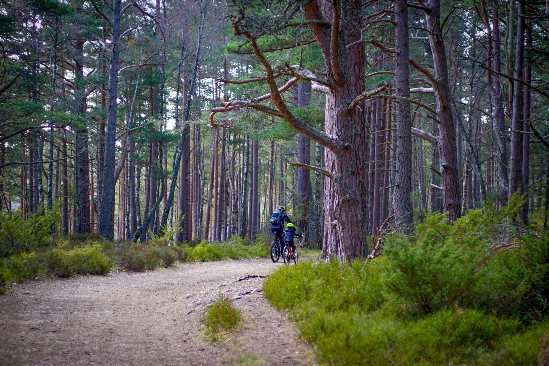
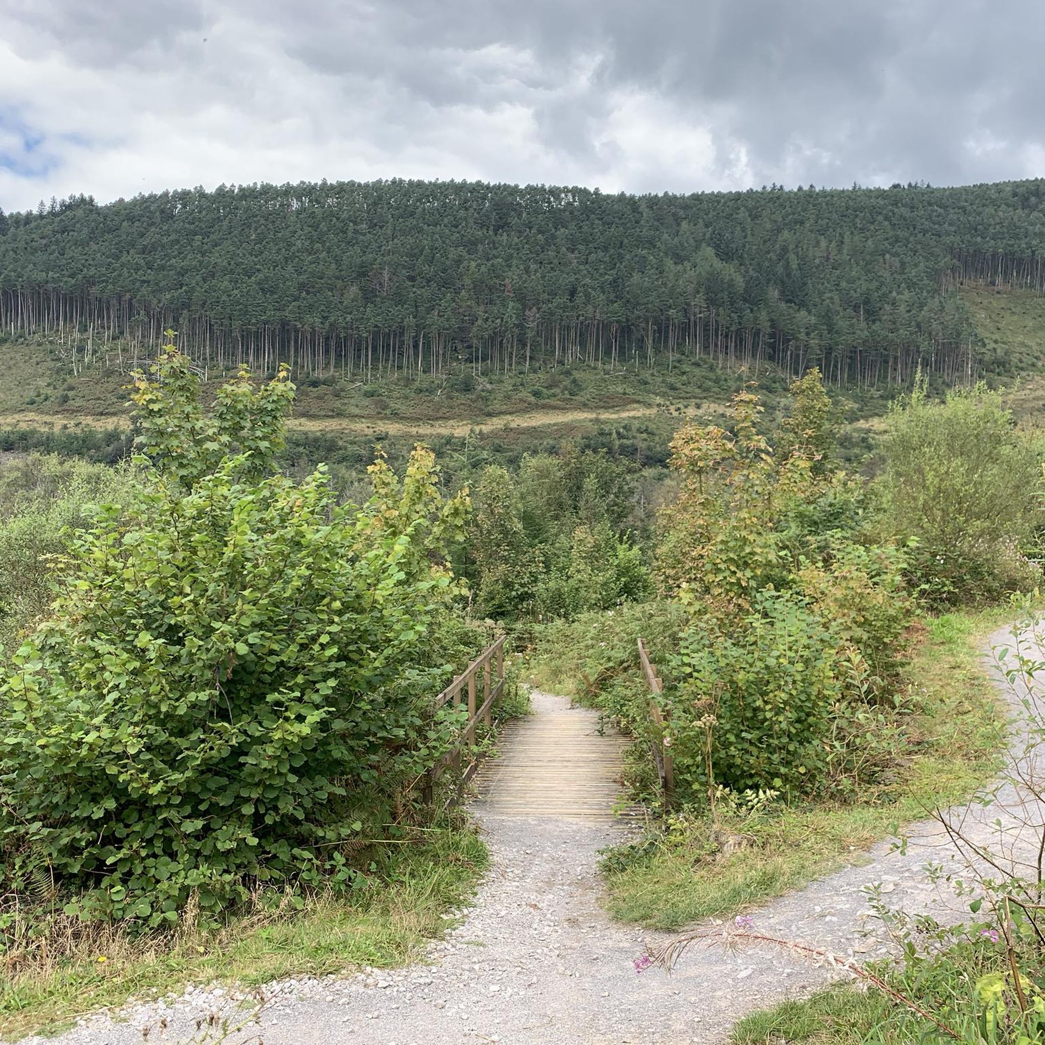

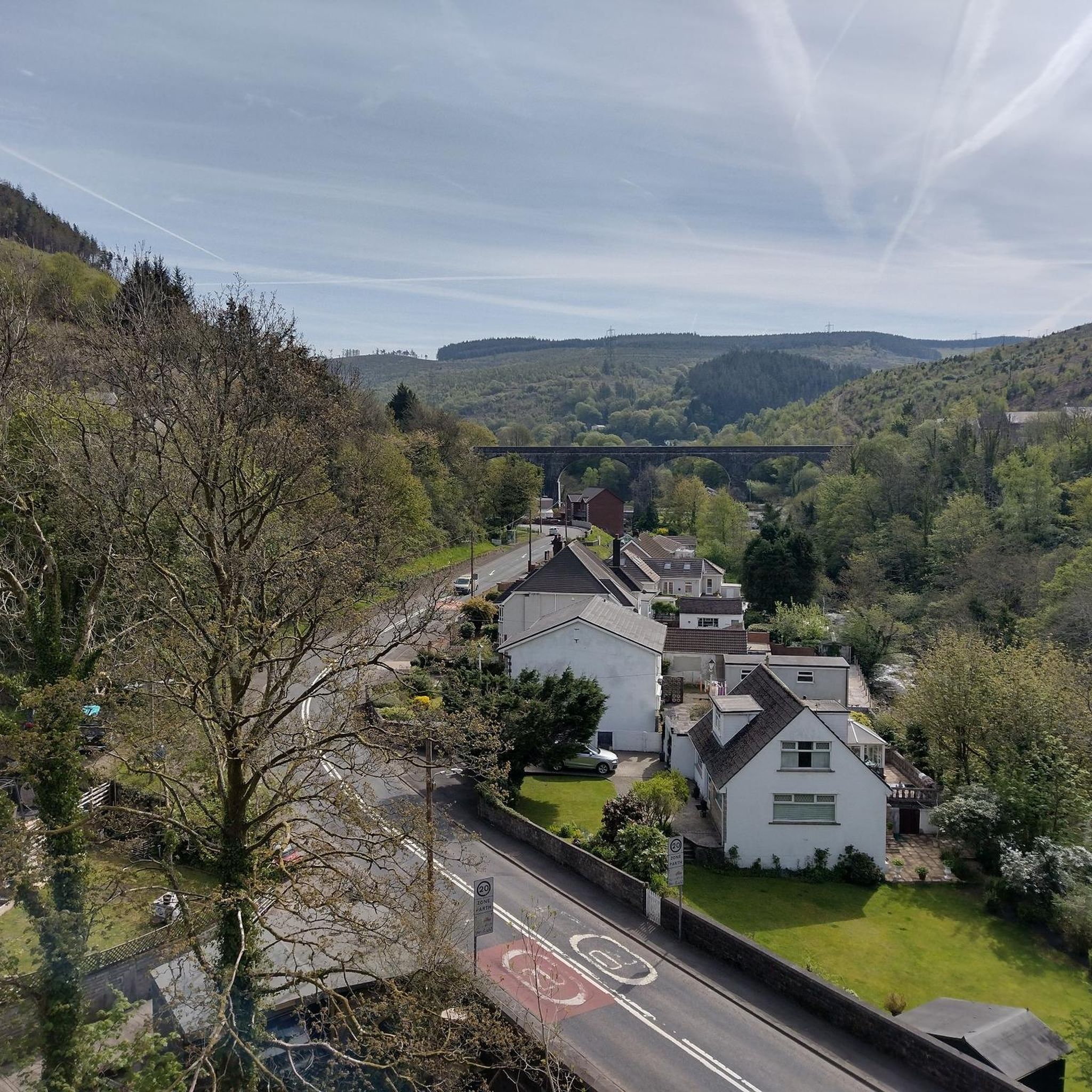
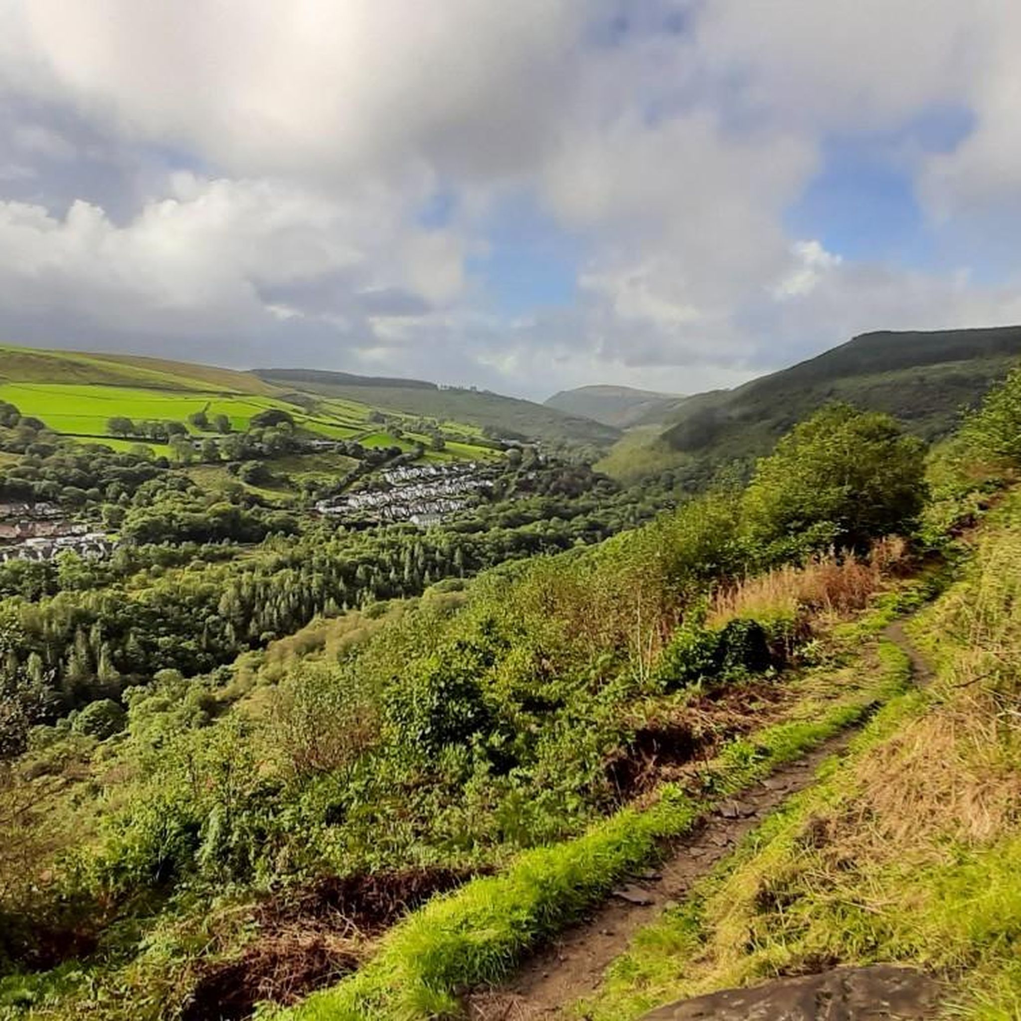
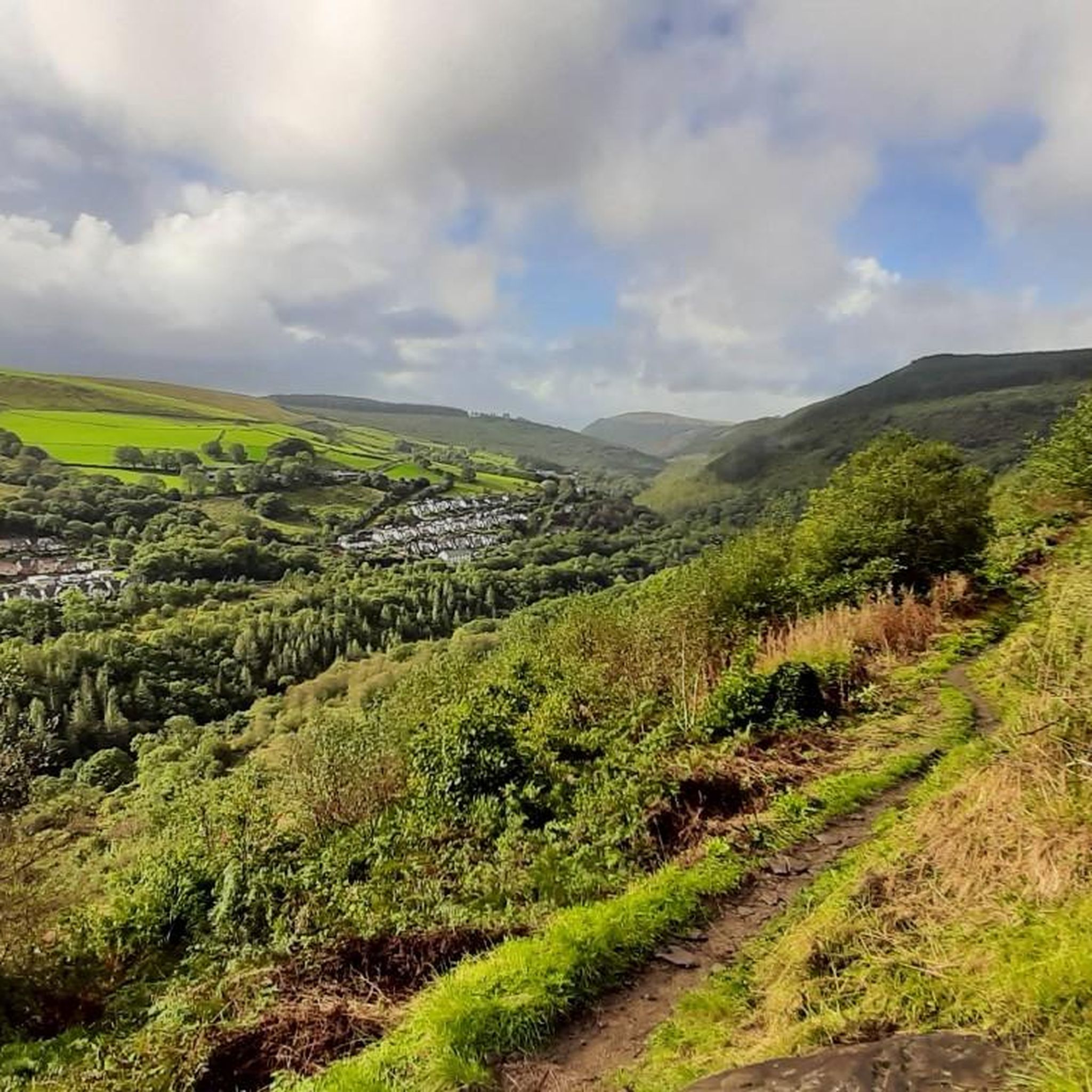
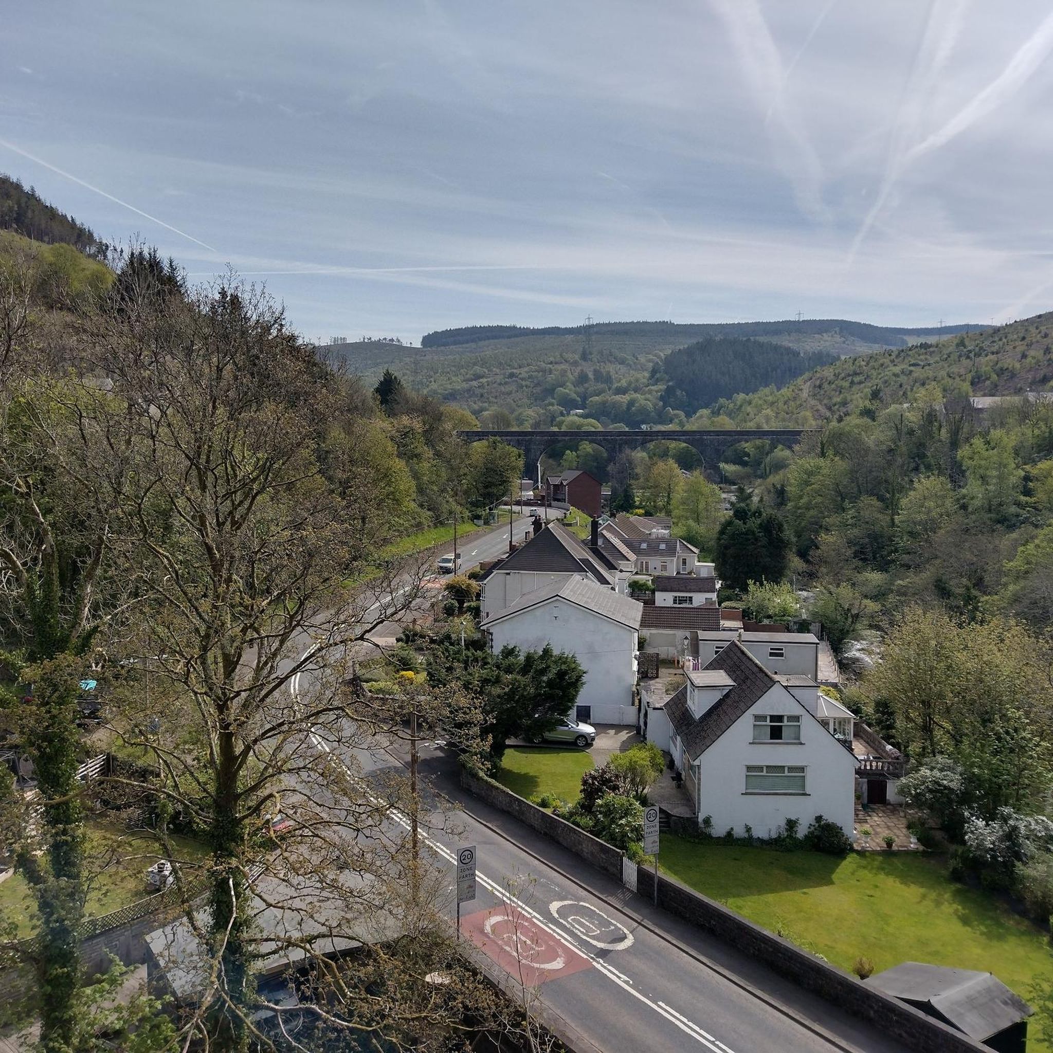
Other adventures around Pelenna

Tips from the Community

Werfa (Llangeinwyr Mountain) 568m P88 (1863ft) TP0732 - Llangeinor 11883 Welsh Dewey and Dodd summit Welsh Trig Pillar
2
0

When you go in search of the trig point it's just off the Sarn Helen in amongst a small group of trees. Look carefully and you e will see a path leading to it.
1
0

Moel Darran 229m is a trig pointed peak in Dyffryn Clydach, Neath Port Talbot, Wales at grid reference SS723982.
1
0
Hirfynydd is a hill in Neath Port Talbot county, South Wales. A UK-listed Marilyn, it stands at 1,579 feet (481 m). Sarn Helen, a Roman road, runs along its entire northeast–southwest ridge. The ancient route is now a byway. To its west is Cwm Dulais and to its southeast is the Vale of Neath. The northern end of the ridge falls away to a broad upland vale containing the Afon Pyrddin and the Brecon Beacons beyond.
2
0
Craig y Llyn is a mountain situated to the south of the village of Rhigos on the south side of the upper Vale of Neath and north of the Rhondda Valleys in South Wales; it is the highest point in the traditional county of Glamorgan, and the South Wales Valleys. It is a UK listed Marilyn.
2
0
Werfa is the highest point in Bridgend and is located just off the A4107 a few miles east of Cymmer.
3
0
Mynydd Marchywel is a 417-metre-high hill in the Neath Port Talbot area in South Wales. Its summit is marked both by a cairn and a trig point. The larger part of the hill is cloaked in modern forestry through which numerous streams fall away westward to the River Tawe, eastward to the River Dulais and southward into the Clydach, the latter two being tributaries of the River Neath. It is a UK listed Marilyn.
1
0
Frequently Asked Questions
Which mountain peaks around Pelenna offer historical significance?
For a blend of history and hiking, Hirfynydd Trig Point is an excellent choice. The ancient Roman road, Sarn Helen, runs along its entire ridge, offering a unique walking experience. Moel Darran Trig Point is also located near the Sarn Helen, providing another accessible historical trail.
Are there challenging mountain climbs in the Pelenna area?
Yes, for a more challenging experience, consider Werfa (Mynydd Llangeinwyr) – County High Point 568 m, which is the highest point in Bridgend and offers a significant climbing achievement. Mynydd Marchywel (417 m) also provides a more strenuous hike with its higher elevation and varied terrain.
What natural features can I expect to see on the peaks around Pelenna?
The peaks offer diverse natural beauty. On Hirfynydd, you'll find expansive views over surrounding valleys and towards the distant Brecon Beacons. Mynydd Marchywel features modern forestry, with numerous streams flowing into the Rivers Tawe, Dulais, and Clydach.
What are some accessible peaks for shorter walks or beginners?
Moel Darran Trig Point is a good choice for shorter, more accessible walks. While not as high as other peaks, it offers an accessible summit experience with local viewpoints and is conveniently located near the Sarn Helen.
What outdoor activities can I do near the Pelenna mountain peaks?
Beyond hiking the peaks, the Pelenna area offers various outdoor activities. You can find several cycling routes, including challenging options like the 'Bwlch Gravel Climb' or 'Glyncorrwg Ponds' loops. For easier walks, explore routes like 'Pontrhydyfen Viaduct – Afan Argoed Bridge' or 'Afan River Bridge – Afan Kids' MTB Skills Area'. You can find more details on these activities in the Cycling around Pelenna, Gravel biking around Pelenna, and Easy hikes around Pelenna guides.
Are there any peaks with both a cairn and a trig point?
Yes, Mynydd Marchywel (417 m) features both a cairn and a trig point at its summit, providing clear markers for navigation and a sense of achievement for hikers.
What is the highest point in the Bridgend area near Pelenna?
The highest point in Bridgend is Werfa (Mynydd Llangeinwyr) – County High Point 568 m. It's a significant Welsh Dewey and Dodd summit, marked by a trig pillar.
What are the best viewpoints among the Pelenna peaks?
Hirfynydd Trig Point offers expansive views over the surrounding valleys and towards the distant Brecon Beacons. Moel Darran Trig Point also provides accessible local viewpoints.
Are there any peaks that are classified as a UK-listed Marilyn?
Yes, both Hirfynydd Trig Point and Mynydd Marchywel (417 m) are classified as UK-listed Marilyns, indicating they are hills with a prominence of at least 150 meters.
What is the significance of Sarn Helen in the Pelenna peaks area?
Sarn Helen is an ancient Roman road that holds significant historical value. It runs along the entire ridge of Hirfynydd and is now used as a byway, offering a unique historical walking experience. Moel Darran is also located just off this historic route.
What kind of terrain can I expect when hiking Mynydd Marchywel?
Mynydd Marchywel features varied terrain. Much of the hill is covered by modern forestry, and numerous streams flow westward to the River Tawe, eastward to the River Dulais, and southward into the Clydach, offering diverse natural beauty and exploration opportunities.
Most popular routes around Pelenna
Most popular attractions around Pelenna

Get inspired with the komoot mobile app


Explore more
See even more amazing summits around Pelenna with these guides:
