The 10 Most Amazing Peaks around Maerdy
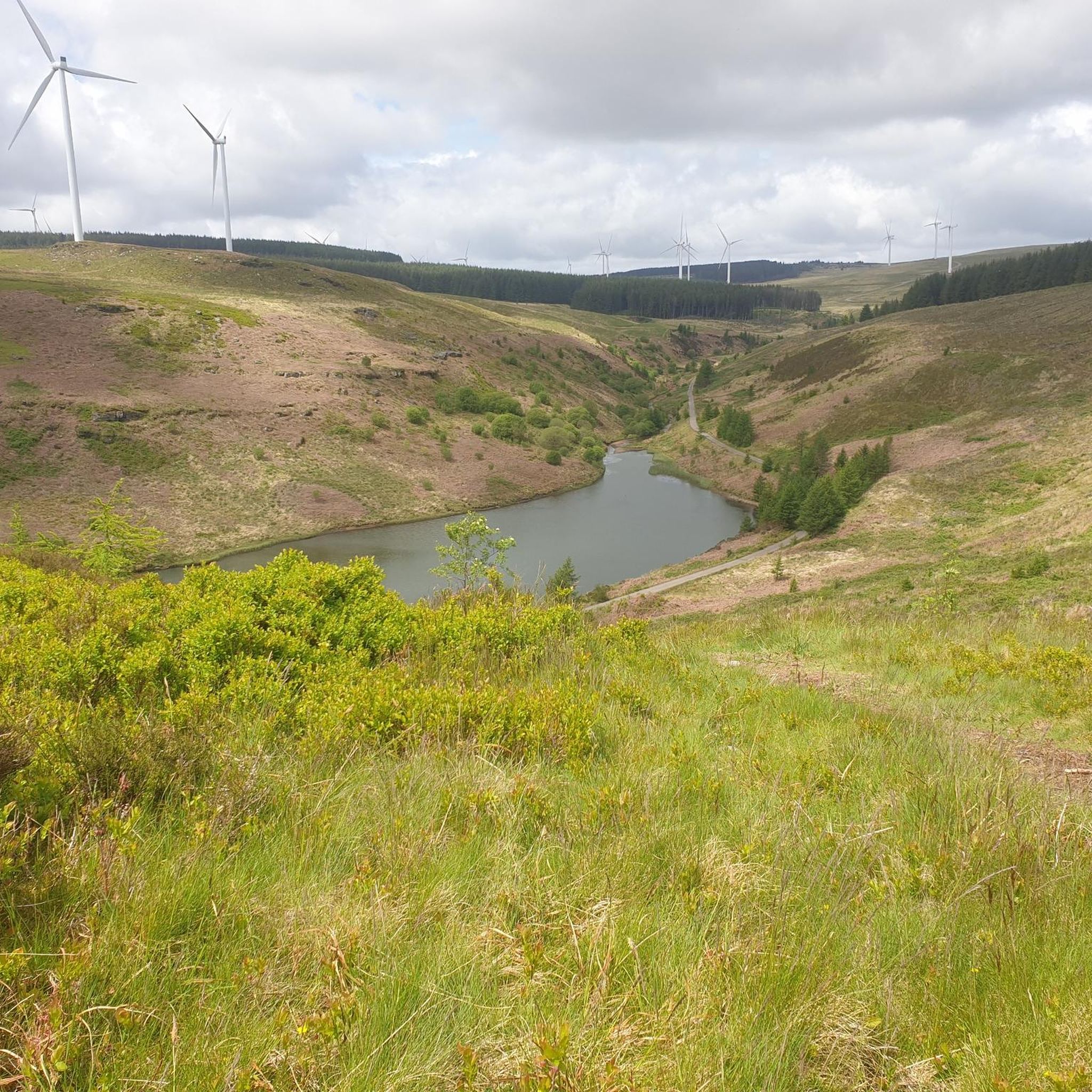
Best mountain peaks around Maerdy are found in the Rhondda Fach Valley, an area characterized by its natural beauty and historical significance. The landscape features moorland, wind-swept ridges, and rocky outcrops, shaped by a long human history. This region offers a compelling mix of scenery and accessible adventure for outdoor enthusiasts. The peaks provide wide views stretching from industrial valleys to distant hills.
Best mountain peaks around Maerdy
- The most popular mountain peaks is Twyn Brynbychan Trig Point, a…
Last updated: June 30, 2026
Twyn Brynbychan Trig Point
Highlight • Natural Monument
Tip by

Moel Penderyn Trig Point
Highlight • Natural Monument
Translated by Google •
Tip by

Sign up now to discover places like this
Get recommendations on the best single tracks, peaks, & plenty of other exciting outdoor places.
Sign up for free
Craig y Llyn Summit
Highlight • Summit
Tip by
Mynydd y Glyn Summit
Highlight • Summit
It is the mountain …
Tip by
Mynydd Aberdar Summit
Highlight • Viewpoint
Tip by
Sign up for free to discover even more peaks around Maerdy.
Sign up for free
Already have an account?
Start today with a free account
Your next adventure awaits.
Login or Signup
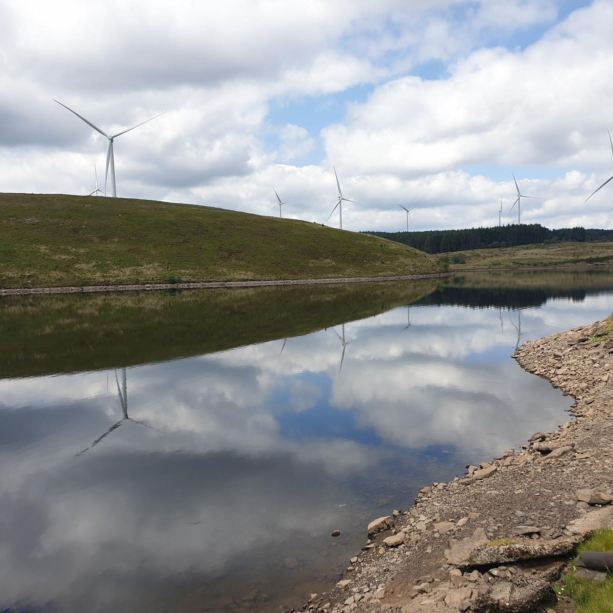
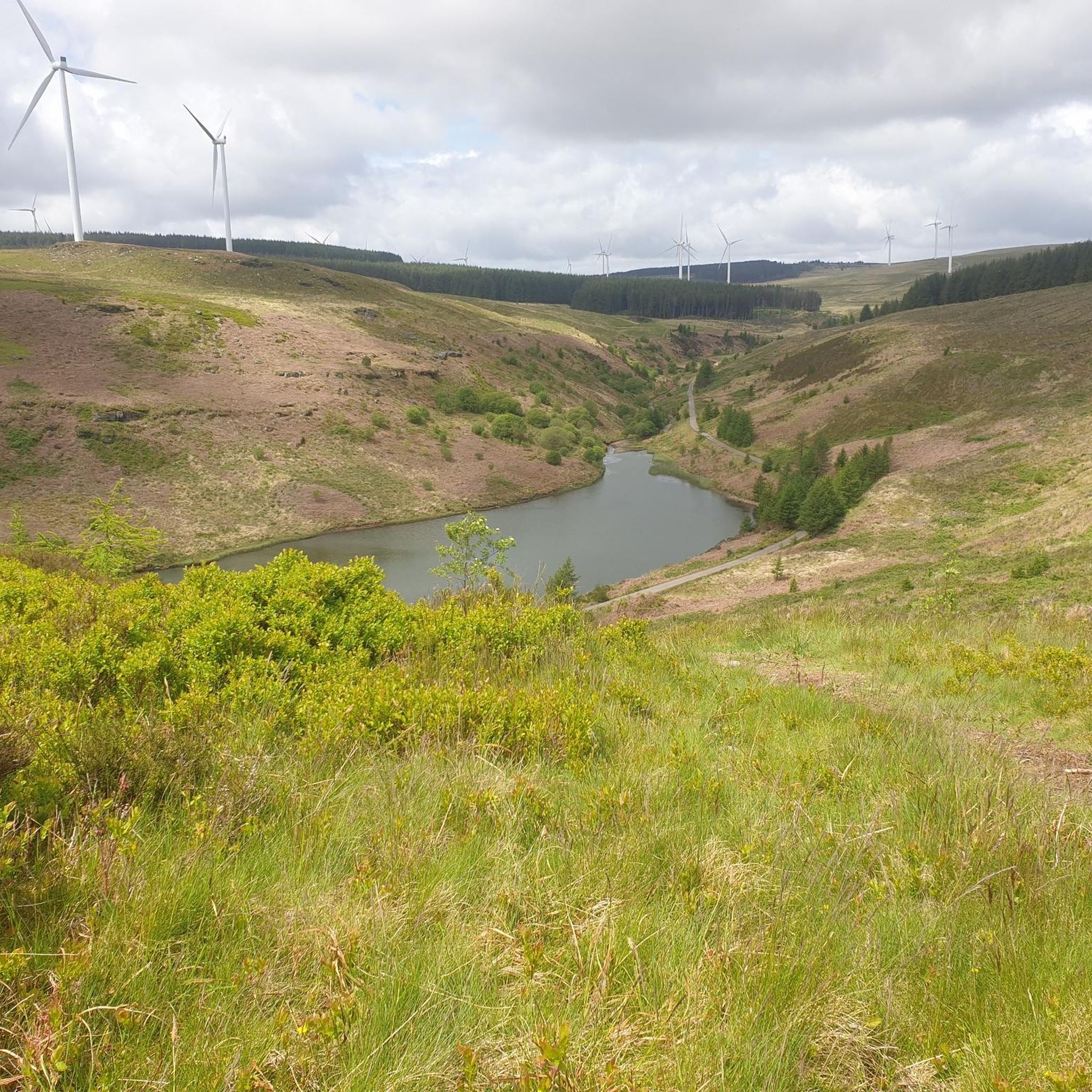
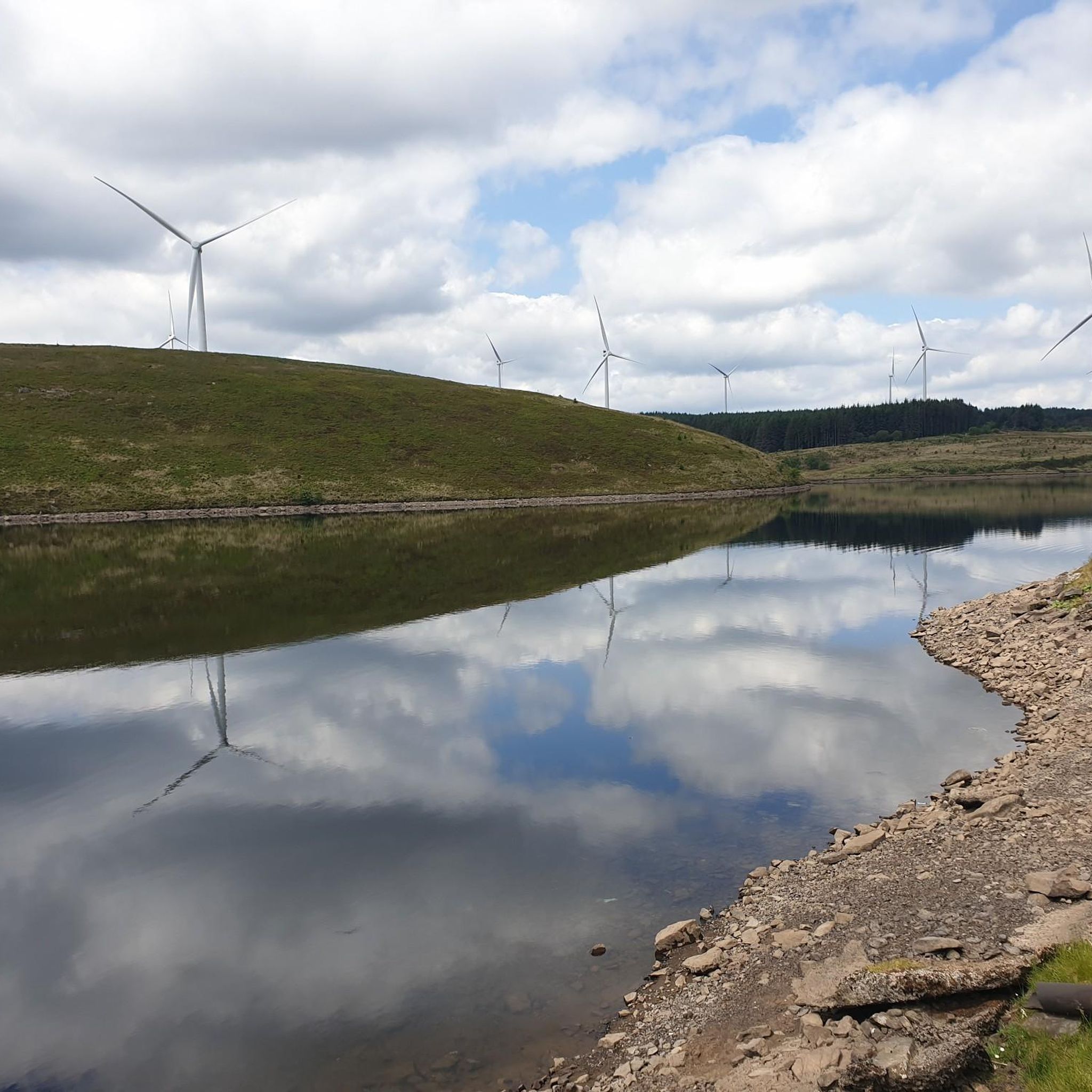
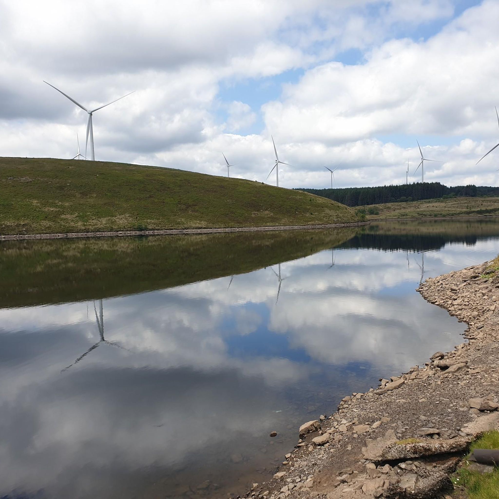

Tips from the Community

At 457 metres high, Mynydd Aberdar is a UK designated P100, or Hump, with a 100 metres of prominence. It is situated on a high point that forms a ridge between Merthyr Tydfil and Aberdare. There are fine views of both valleys to be had from here.
1
0

Moel Penderyn 371m ⛰️ Moel Penderyn is on the edge of Penderyn village, located in the Brecon Beacons National Park county borough of Rhondda Cynon Taff, South Wales. It also appeared to be named as 'Y Foel Penderyn' on older maps. With a summit elevation of only 371m in height, Moel Penderyn is marked by a bright, vivid, beautiful Dragonised trig point!!❤️👌
1
0
We walked miles. Up to the waterfall on Gillies trail, followed the path up onto the rocky and then to the trig point on Twyn Brynbychan, above the cynnon valleys. Enjoyed a breather on top, before trekking around the back forestry where you can see Aberfan and Merthyr Vale and headed over to the bronze age sight before descending down to Cwmaman and back to the car.
1
0
Mynydd y Glyn is a mountain in South Wales, between the towns of Pontypridd and Tonyrefail. It has a height above sea level of 377 metres. It is the mountain which was used in The Englishman who went up a Hill and came down a Mountain in which Hugh Grant and Ian McNeice star as English cartographers. In the film the mountain is known as 'Ffynnon Garw'. It is a UK listed Marilyn.
4
0
Moel Penderyn is a hill on the edge of Penderyn village, in the Brecon Beacons National Park in the county borough of Rhondda Cynon Taff, South Wales. It also appeared on older maps as 'Y Foel Penderyn'. Its summit at 371m is marked by a trig point. Moel Penderyn is in the Dyffrynnoedd Nedd a Mellte, and Moel Penderyn biological and geological Site of Special Scientific Interest.
3
0
Craig y Llyn is a mountain situated to the south of the village of Rhigos on the south side of the upper Vale of Neath and north of the Rhondda Valleys in South Wales; it is the highest point in the traditional county of Glamorgan, and the South Wales Valleys. It is a UK listed Marilyn.
2
0
Frequently Asked Questions
What are some of the most notable mountain peaks to explore around Maerdy?
The Maerdy area, nestled in the Rhondda Fach Valley, offers several compelling peaks. Prominent ones include Maerdy Mountain, known for its wild beauty and historical intrigue, and Pen Maerdy, a Tump offering panoramic views. Slightly further afield, Rhigos Mountain provides extensive recreational opportunities. Additionally, komoot users appreciate Twyn Brynbychan Trig Point and Moel Penderyn Trig Point.
What kind of natural features can I expect to see on the mountain peaks near Maerdy?
You'll encounter a diverse landscape characterized by moorland, wind-swept ridges, and rocky outcrops. Maerdy Mountain, for instance, features heath and bracken, while Pen Maerdy has distinctive outcrops. The area also includes operational wind farms, symbolizing a transition to clean energy, and reservoirs like Lluest-wen near Rhigos Mountain.
Are there any mountain peaks with historical significance in the Maerdy area?
Yes, the mountains around Maerdy are rich in history. Maerdy Mountain features a network of old tracks hinting at a long human history, connecting to the lives of miners. Twyn Brynbychan Trig Point is near a bronze age sight, blending natural beauty with historical intrigue. The region's industrial past is evident in the landscape, offering a glimpse into its heritage.
What are the highest points or summits I can visit near Maerdy?
For those seeking higher elevations, Werfa (Mynydd Llangeinwyr) is the highest point in Bridgend at 568 meters. Other notable summits include Mynydd Aberdar Summit at 457 meters, and Mynydd y Glyn Summit at 377 meters. Pen Maerdy also reaches 370 meters.
Are there family-friendly walking options on the mountains around Maerdy?
While specific 'family-friendly' categories aren't always listed, the region offers accessible adventures. Maerdy Mountain is popular with local walking clubs and offers contemplative picnic spots. The network of old tracks provides varied terrain, and many routes can be adapted for different fitness levels. The Rhondda Fach and Lluest-wen Reservoir Loop near Rhigos Mountain is a moderate hike that could be suitable for families.
What outdoor activities are available on the mountains near Maerdy besides hiking?
Beyond hiking, the mountains near Maerdy offer excellent opportunities for cycling and mountain biking. Rhigos Mountain, for example, boasts fire roads suitable for gravel biking and mountain biking. The area is also home to adventure parks like Zip World Tower and the Afan mountain bike trails. You can find more details on routes in the Cycling around Maerdy, Gravel biking around Maerdy, and MTB Trails around Maerdy guides.
Where can I find panoramic views of the surrounding valleys near Maerdy?
Many peaks in the area offer stunning panoramic views. Twyn Brynbychan Trig Point provides views stretching from the Cynon valleys to Aberfan and Merthyr Vale. Maerdy Mountain itself offers wide, unfussy views. From Mynydd Aberdar Summit, you can enjoy fine views of both the Merthyr Tydfil and Aberdare valleys. The summit of Rhigos Mountain also offers a viewpoint overlooking Zip World Tower.
What do visitors particularly enjoy about the mountain peaks around Maerdy?
Visitors appreciate the compelling mix of scenery, heritage, and accessible adventure. Many enjoy the brisk ascents and contemplative picnic spots, as well as the chance to learn about the area's coal and farming heritage. The wide views and the immersive experience through moorland and wind-swept ridges are frequently highlighted. The komoot community has shared 8 photos and given 7 upvotes to the peaks in the area.
Are there any specific features like trig points or unique landmarks on these peaks?
Yes, several peaks feature distinctive landmarks. Twyn Brynbychan Trig Point and Moel Penderyn Trig Point are marked by their respective trig points, with Moel Penderyn's being described as a 'bright, vivid, beautiful Dragonised trig point'. Pen Maerdy is also noted for its distinctive outcrops.
What is the best time of year to hike the mountain peaks around Maerdy?
The region's peaks offer rewarding experiences throughout the year. Spring and autumn provide pleasant temperatures and vibrant scenery, with moorland scents and changing foliage. Summer is ideal for longer days and clear views. Even in winter, the wind-swept ridges can offer a dramatic and contemplative experience, though appropriate gear for colder weather is essential.
Are there challenging mountain trails near Maerdy for experienced hikers?
Yes, the area provides options for more challenging hikes. Maerdy Mountain is known for its brisk ascents, appealing to seasoned hikers. The Rhondda Fach and Lluest-wen Reservoir Loop, while moderate, offers diverse terrain. For cycling, several routes listed in the Cycling around Maerdy and MTB Trails around Maerdy guides are rated as 'difficult', indicating challenging terrain for outdoor enthusiasts.
Can I find circular walking routes on the mountains around Maerdy?
The region's landscape, with its network of old tracks and varied terrain, lends itself well to circular walks. The Rhondda Fach and Lluest-wen Reservoir Loop near Rhigos Mountain is an 8.4-mile moderate circular hike. Many local walking clubs frequent the area, suggesting that numerous established or customizable circular routes exist across Maerdy Mountain and its surroundings.
Most popular attractions around Maerdy

Get inspired with the komoot mobile app


Explore more
See even more amazing summits around Maerdy with these guides:
