The 4 Most Amazing Peaks around Panteg
Best mountain peaks around Panteg are found in Torfaen, Wales, an area characterized by notable hills and proximity to significant Welsh mountain ranges. The region offers a mix of elevated areas with historical significance and access to more extensive mountain experiences. While Panteg itself features prominent hills, it serves as a gateway to diverse mountain landscapes across South Wales. This location provides opportunities for exploring both local landmarks and the broader Welsh mountain environment.
Best mountain peaks around Panteg
- The…
Last updated: October 3, 2026
Twmbarlwm Hill and Iron Age hillfort
Highlight • Historical Site
Tip by

Trig point at Mynydd Twyn-glas summit
Highlight • Natural Monument
Tip by

Sign up now to discover places like this
Get recommendations on the best single tracks, peaks, & plenty of other exciting outdoor places.
Mynydd y Lan
Highlight • Summit
Tip by
View from Mynydd Garn Clochdy
Highlight • Trail
Tip by

Start today with a free account
Your next adventure awaits.
Tips from the Community

Twmbarlwm is a prominent hill and archaeological site located near the town of Cwmcarn in South Wales. It is part of the Caerphilly County Borough and is known for both its natural beauty and historical significance. Here are some key points about Twmbarlwm: Key Features: Hillfort: Twmbarlwm is home to the remains of an ancient hillfort, dating back to the Iron Age. The fortifications, which include earthworks and ramparts, suggest it was a significant settlement during that period. Celtic Connections: The name "Twmbarlwm" is thought to derive from Welsh, with "Twm" being a diminutive of "Tudur" and "barlwm" referring to a mound or hill. The site is associated with Celtic history and mythology. Natural Beauty: The hill offers stunning views of the surrounding landscape, including the nearby valleys and mountains. It is a popular destination for walkers, hikers, and outdoor enthusiasts. Archaeological Significance: Twmbarlwm has been the subject of various archaeological studies, which have revealed insights into ancient settlement patterns, defensive strategies, and daily life in prehistoric Wales. Access: The hill is accessible via footpaths, making it a popular spot for local residents and visitors. There are several trails that lead to the summit, offering a rewarding hike. Cultural Heritage: The site is connected to local folklore and legends, contributing to its cultural significance in the region. Visiting: If you plan to visit Twmbarlwm, it’s a good idea to check local resources or hiking guides for specific trails and information about the area. The site is a great way to experience the natural beauty and historical richness of South Wales.
1
0

A small summit above Risca. Known locally as the "Twmp" (the hump), the pimple or the nipple, due to the shape of the mound on the summit.
1
0

Cracking local walk, gain height for amazing views and walk over to twmbarlwm
0
0

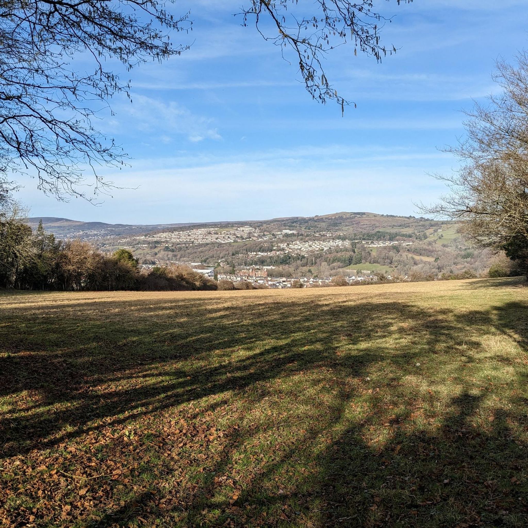
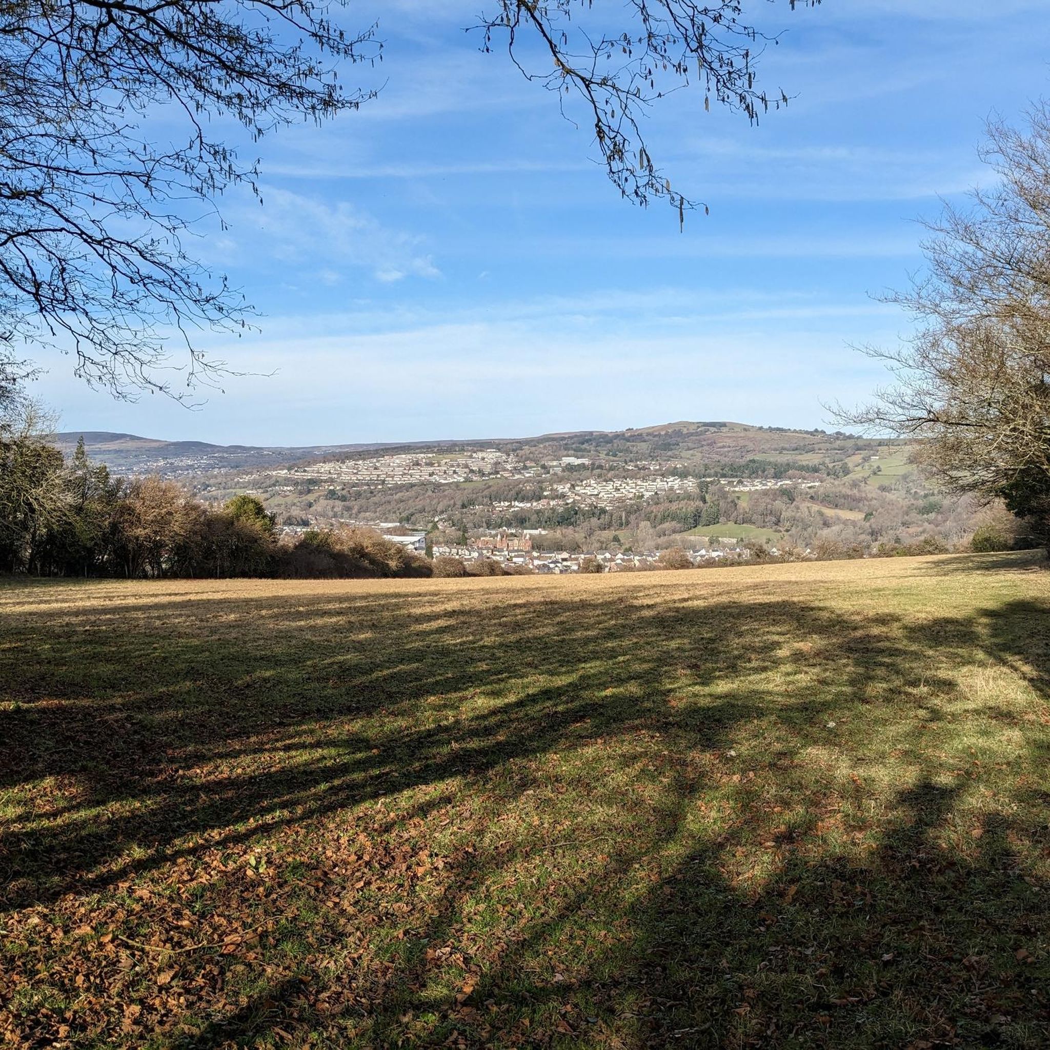
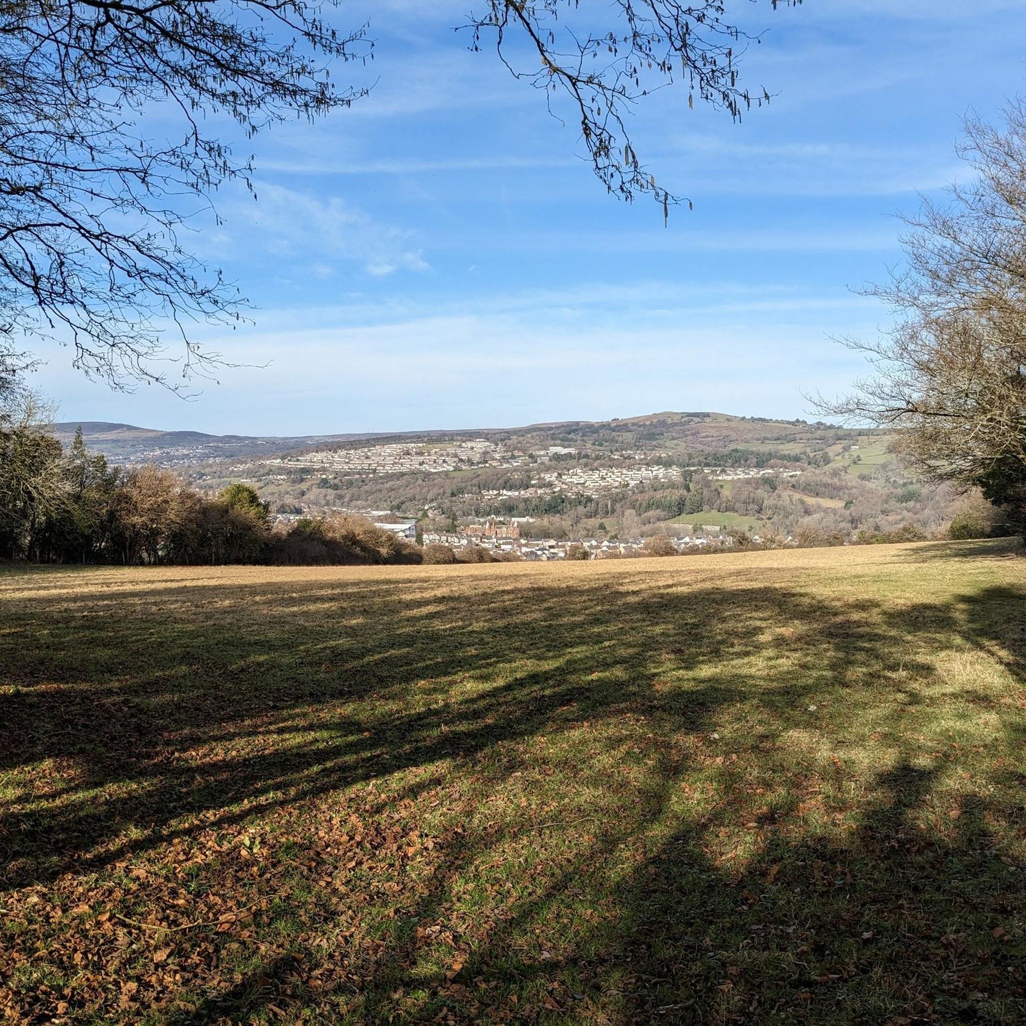
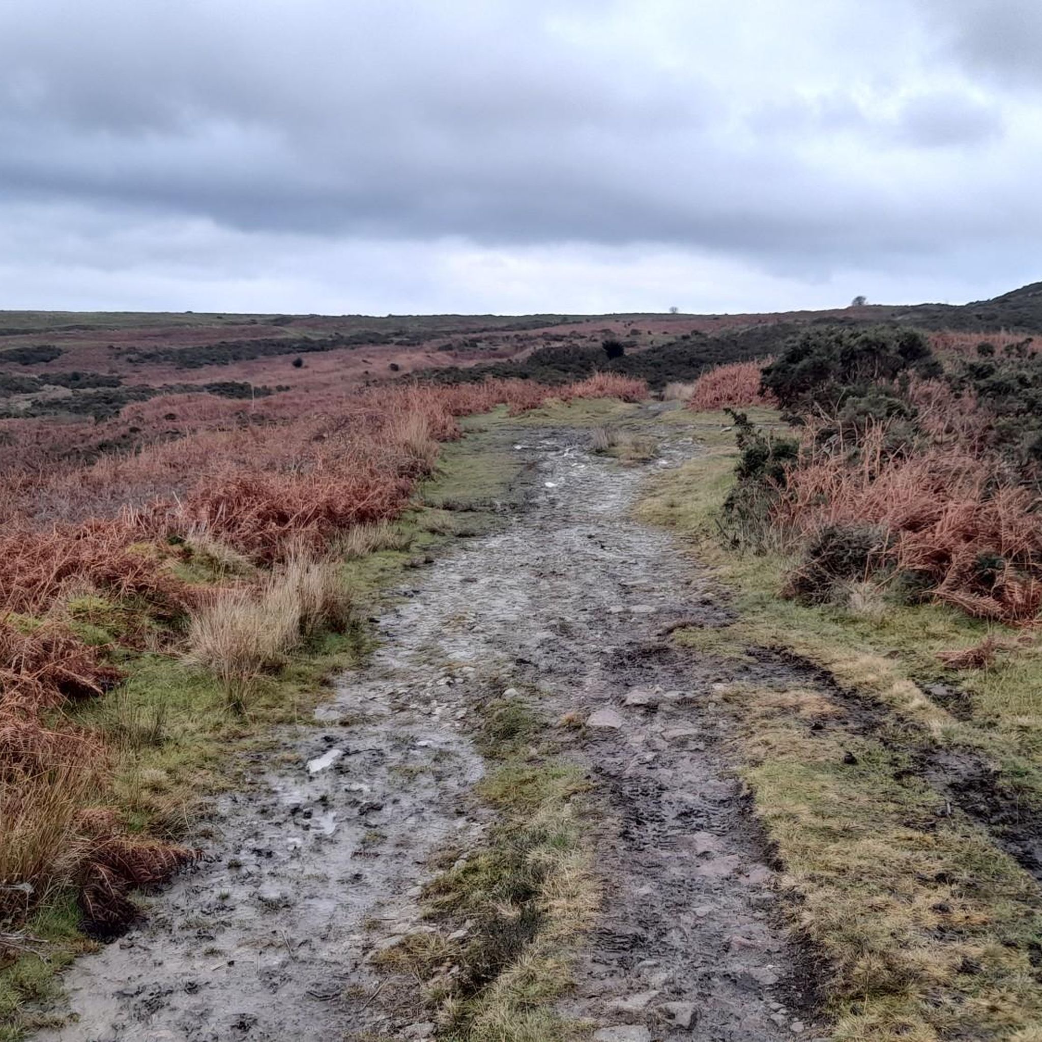
A steady climb from the canal at Goytre Wharf to the ridge of Mynydd Garn Clochdy wins spectacular views of the Brecon Bacons Black mountains and the Bristol Channel. The return route weavers woodland and passing a Tavern .The route is over tracks fields lanes. There is one long climb over a mile of level open mountain ridge .You probably wont need a compass but take one just in case
1
0

Twmbarlwm is a 1,375 foot (419 m) hill that is rich in beauty, history and folklore. From the summit, you are afforded wonderful views of the Severn Estuary. There is an Iron Age hill fort on the summit, too.
2
0

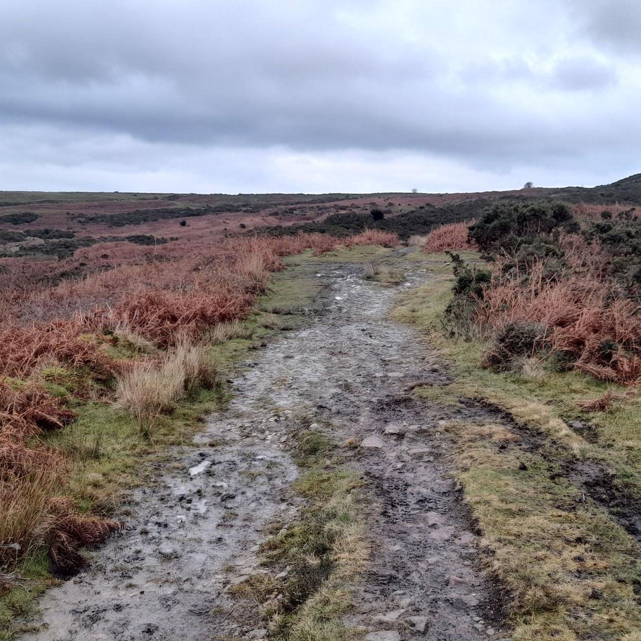
Mynydd Twyn-glas is a sprawling 472-metre-high mountain extending into Caerphilly and Torfaen county boroughs in South Wales. It lies southwest of Pontypool, west of Cwmbran and east of Newbridge and taking the form of a rolling plateau the margins of which are defined by steep slopes, many of which are cloaked with conifer plantations. A broad shoulder extending south from the summit is known as Mynydd Maen whilst to the north is Mynydd Llwyd. The thickly afforested northern slopes of the hill drop down steeply into Cwm y Glyn. It is a UK listed Marilyn.
3
0
Beautiful little walk to take in a trig point and a fantastic Iron Age fort. Twmbarlwm, known locally known as 'the Twmp' (translation: hump), 'the Nipple' or the Pimple because of the mound that lies at its summit, is a hill situated 2 km (1.2 mi) to the northeast of Risca in South Wales. It is often mistakenly referred to as a mountain but is actually a hill due to being under 600 m (2,000 ft). It is 419 m (1,375 ft) high and is a well-known landmark throughout the region. It commands extensive views across what is now the M4 corridor, over Newport and Cwmbran - with part of it coming into Cwmbran - and out over the Bristol Channel. For route details click here: https://www.komoot.com/tour/283732815
5
1
Mynydd y Lan is a 381-metre-high flat-topped hill in Caerphilly county borough in South Wales. It falls largely within the community of Ynysddu but its northern and eastern margins are within Crosskeys community. Its largely wooded southern and eastern flanks rise steeply from the Sirhowy and Ebbw valleys respectively. A wireless transmission station is located towards the northern end of the summit plateau. It has no marked summit and is a UK listed Marilyn.
1
0
Frequently Asked Questions
What are the most notable mountain peaks and hills around Panteg?
While Panteg itself is not known for traditional mountain peaks, the area features significant hills and offers access to impressive Welsh mountain ranges. Locally, Twmbarlwm Hill and Iron Age hillfort is a prominent landmark, standing at 419 meters with rich history and folklore. Other notable elevated areas include Trig point at Mynydd Twyn-glas summit (472 meters) and Mynydd y Lan (381 meters).
What kind of views can I expect from the peaks near Panteg?
From Twmbarlwm Hill, you can enjoy expansive views of the Severn Estuary. The Trig point at Mynydd Twyn-glas summit also offers amazing views from its rolling plateau. For truly spectacular vistas, the View from Mynydd Garn Clochdy provides sights of the Brecon Beacons, Black Mountains, and the Bristol Channel.
Are there historical sites on the mountain peaks around Panteg?
Yes, Twmbarlwm Hill is home to an Iron Age hill fort on its summit, adding significant historical interest to its natural beauty. This site is a well-known landmark in the region.
What outdoor activities can I do near these mountain peaks?
The area around Panteg offers a variety of outdoor activities. You can find numerous options for hiking, running, and gravel biking. For hiking, explore routes like the 'Folly Tower (Pontypool) – Pontymoile Basin loop' or the 'Folly Tower (Pontypool) – Mynydd Garn Wen Trig Point loop'. For running, consider the 'Running loop from Cwmbrân' or 'Monmouth and Brecon Canal – Pontymoile Basin loop'. Gravel biking enthusiasts can try routes such as 'Pontymoile Basin – Llanelly Quarry Limekilns loop'. You can find more details on these activities in the Hiking around Panteg, Running Trails around Panteg, and Gravel biking around Panteg guides.
Are there family-friendly walks or beginner mountain climbs near Panteg?
Many of the local hills and trails around Panteg offer accessible walking experiences suitable for families. While specific 'beginner mountain climbs' are not highlighted, the various walking trails on hills like Twmbarlwm Hill provide opportunities for less strenuous hikes with rewarding views. Look for moderate-difficulty hiking routes in the Hiking around Panteg guide, such as the 'Pontymoile Basin loop from Cwmbrân' which is rated easy.
What is the best time to visit the mountain peaks around Panteg?
The Welsh mountains, including those accessible from Panteg, offer inspiring landscapes year-round. Spring and autumn provide pleasant temperatures and vibrant scenery, while summer is ideal for longer days and clearer views. Winter can offer a unique, rugged experience, but conditions may be more challenging, especially in higher ranges like the Brecon Beacons or Snowdonia.
What are the elevations of the main peaks and hills in the Panteg area?
The highest point mentioned in the immediate vicinity is the Trig point at Mynydd Twyn-glas summit, reaching 472 meters. Twmbarlwm Hill stands at 419 meters, and Mynydd y Lan is 381 meters high.
What do visitors enjoy most about the mountain peaks and hills near Panteg?
Visitors appreciate the blend of natural beauty, history, and the expansive views offered by the local hills. The Iron Age fort on Twmbarlwm Hill is a particular highlight, often described as a beautiful walk with fantastic historical significance. The opportunity to gain height for amazing views and explore varied landscapes is also highly valued.
Are there dog-friendly hiking trails in the Panteg mountains?
Many outdoor trails in the Panteg area and wider Welsh mountains are dog-friendly, allowing you to explore with your canine companion. It's always recommended to keep dogs under control, especially near livestock or wildlife, and to check local signage for any specific restrictions. The varied walking trails on hills like Twmbarlwm Hill are generally suitable for dogs.
Where can I find accommodation or places to eat near the hiking areas?
Panteg and the surrounding towns like Pontypool, Cwmbran, and Newport offer various accommodation options, from hotels to guesthouses. You'll also find a selection of cafes, pubs, and restaurants in these areas, perfect for a meal or refreshment before or after your hike. Specific recommendations would depend on your exact hiking location and preferences.
What are the characteristics of Mynydd y Lan?
Mynydd y Lan is a 381-meter-high flat-topped hill located in the Caerphilly county borough. Its southern and eastern flanks are largely wooded and rise steeply from the Sirhowy and Ebbw valleys. While it has no marked summit, it is a UK listed Marilyn.
What are the main mountain ranges accessible from Panteg for more challenging climbs?
For those seeking more challenging climbs and extensive mountain experiences, Panteg's location in Wales provides reasonable access to several impressive mountain ranges. These include the **Brecon Beacons** in South Wales, home to Pen y Fan; **Snowdonia (Eryri)** in North Wales, featuring Yr Wyddfa (Snowdon); and the **Cambrian Mountains** in central Wales, known for their sparsely populated landscapes and cairned summits.
Most popular attractions around Panteg

Get inspired with the komoot mobile app


Explore more
See even more amazing summits around Panteg with these guides:
