Top 4 Gorges around Bonsall
Best canyons around Bonsall are characterized by diverse natural landscapes, offering various recreational opportunities. The region features several notable canyons and canyon-adjacent trails. These areas provide unique natural beauty and serve as important wildlife corridors. Bonsall's surroundings include serene environments and rugged terrain suitable for exploration.
Best canyons around Bonsall
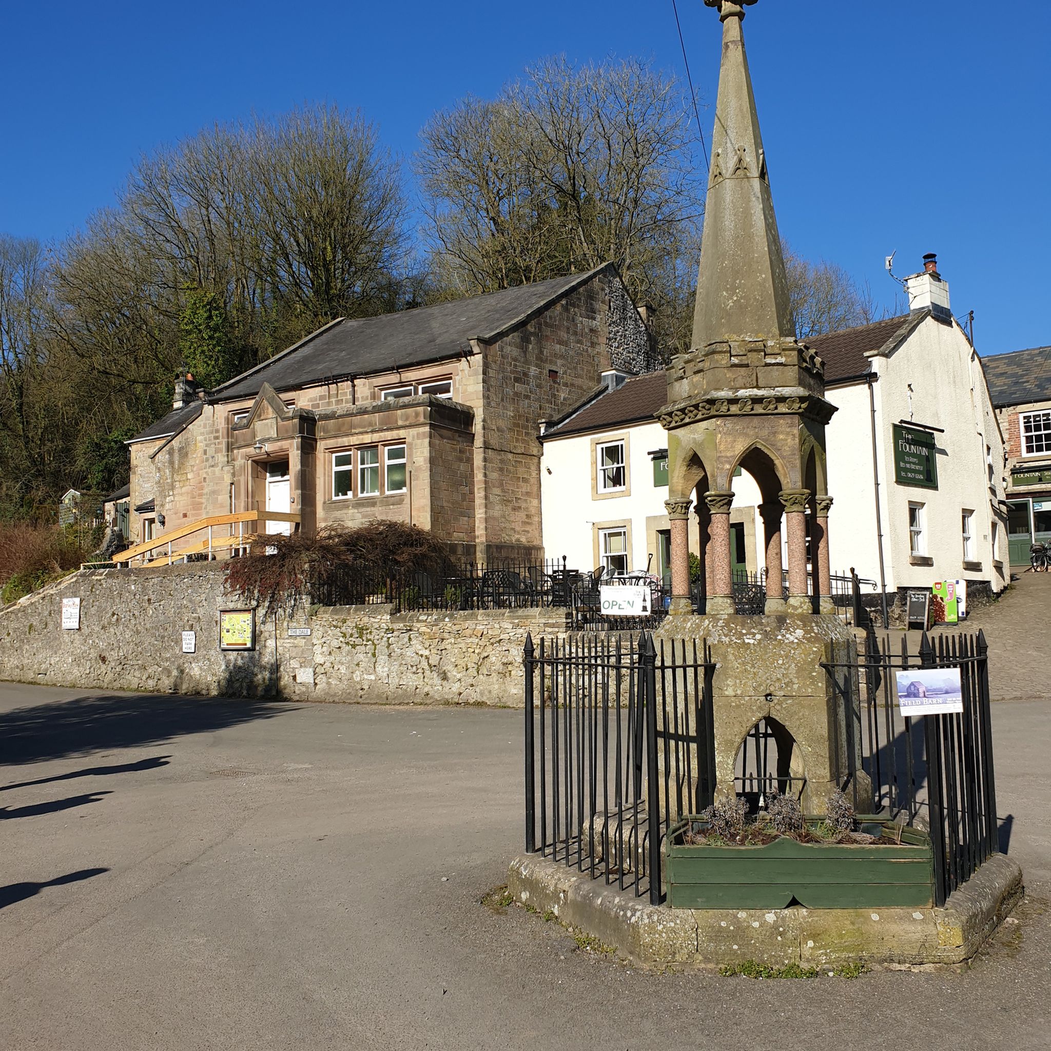
- The most popular canyons is Matlock Bath, a gorge known for its impressive cliffs alongside the Derwent Valley gorge. It is a popular destination with a selection of fish…
Last updated: June 28, 2026
Matlock Bath
Highlight • Gorge
Tip by

Lathkill Head Cave
Highlight • River
Tip by

Sign up now to discover places like this
Get recommendations on the best single tracks, peaks, & plenty of other exciting outdoor places.
Sign up for free
Bradford Dale
Highlight • Natural
Tip by

Upper Lathkill Dale
Highlight • Gorge
Tip by
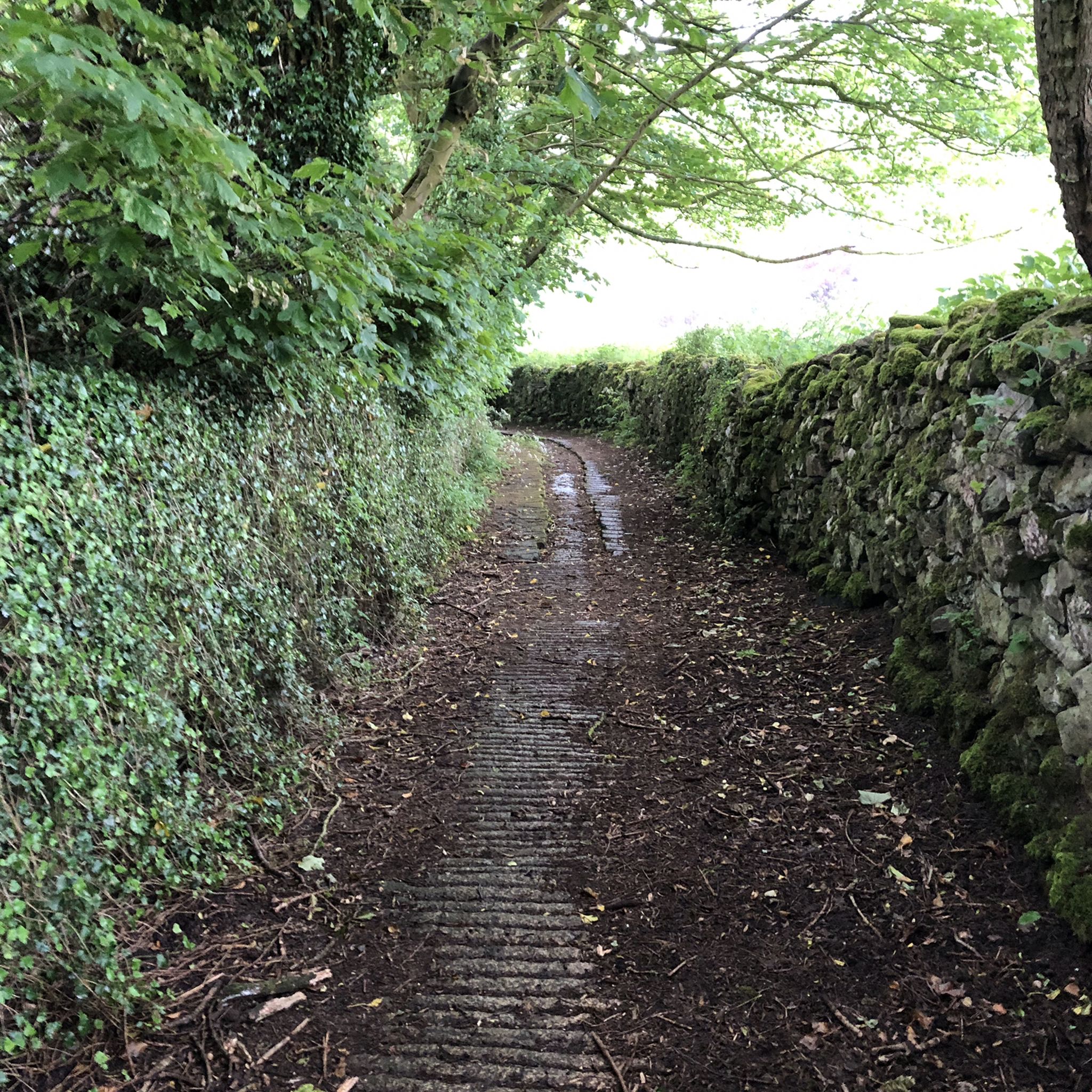
Hidden Canal Path, Cromford Canal (Buckland Hollow Section)
Highlight • Cycleway
Tip by

Sign up for free to discover even more gorges around Bonsall.
Sign up for free
Already have an account?
Start today with a free account
Your next adventure awaits.
Login or Signup
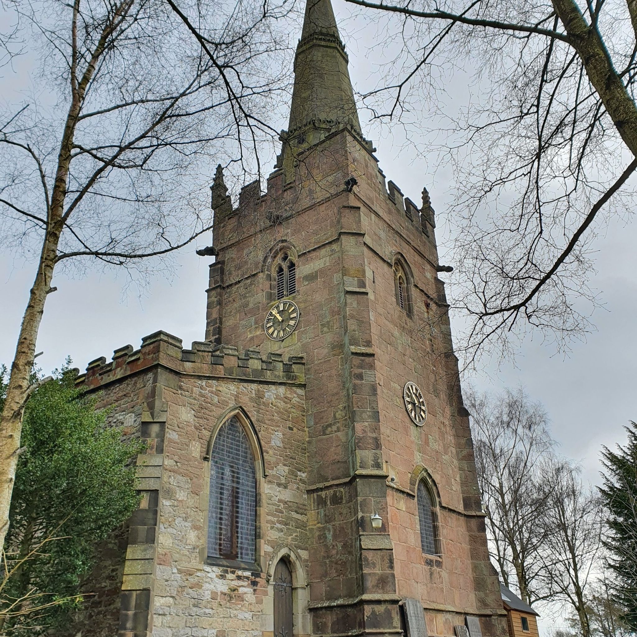
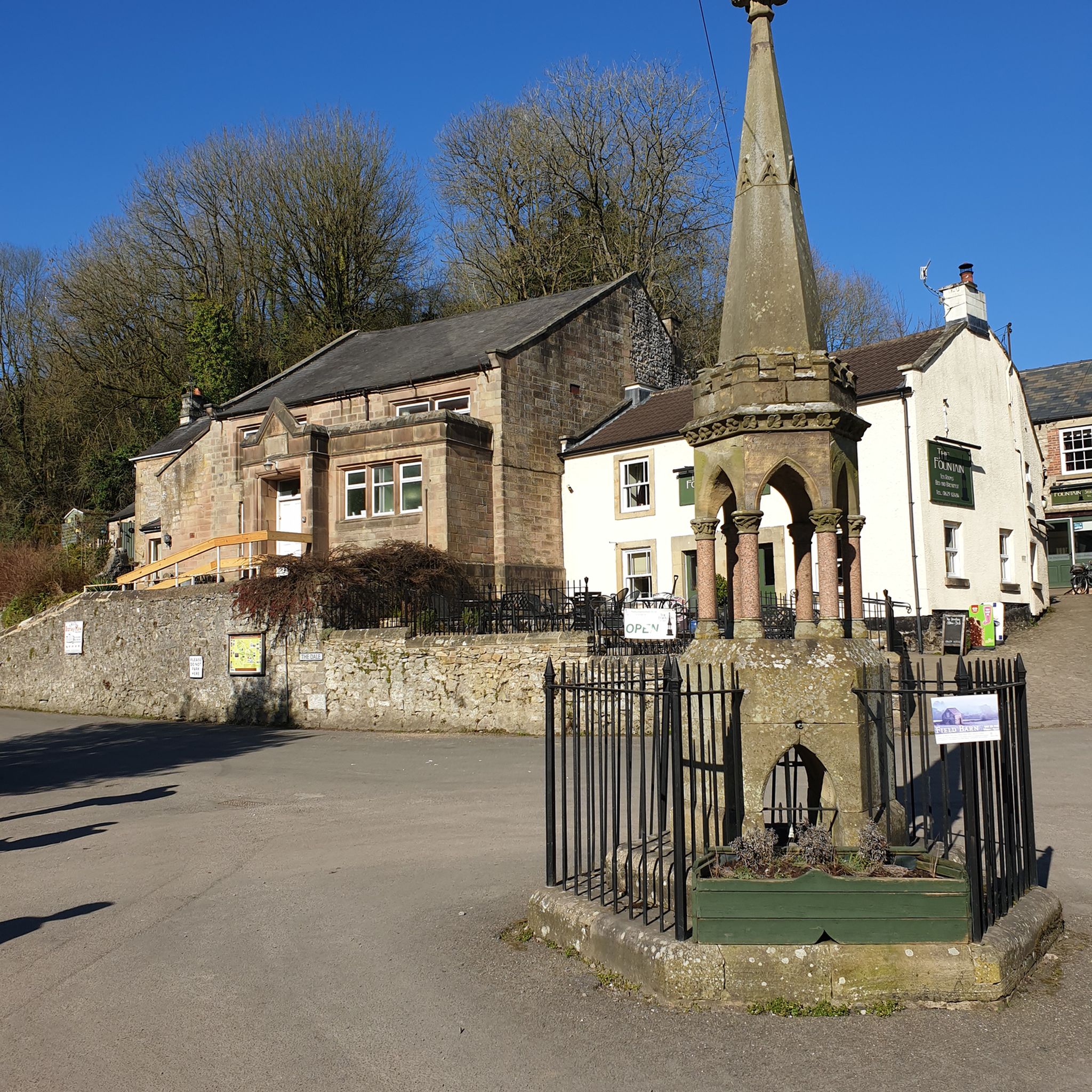
Tips from the Community


From the roadside at monyash all along the river its well worth a visit put it on your todo list
0
0

They used to refer to Matlock Bath as an inland holiday resort. It's even got cable cars.
0
0

Under the bridge from the excavator car park, took me a while to find it the first time, I ended up following the road to Heage
0
0

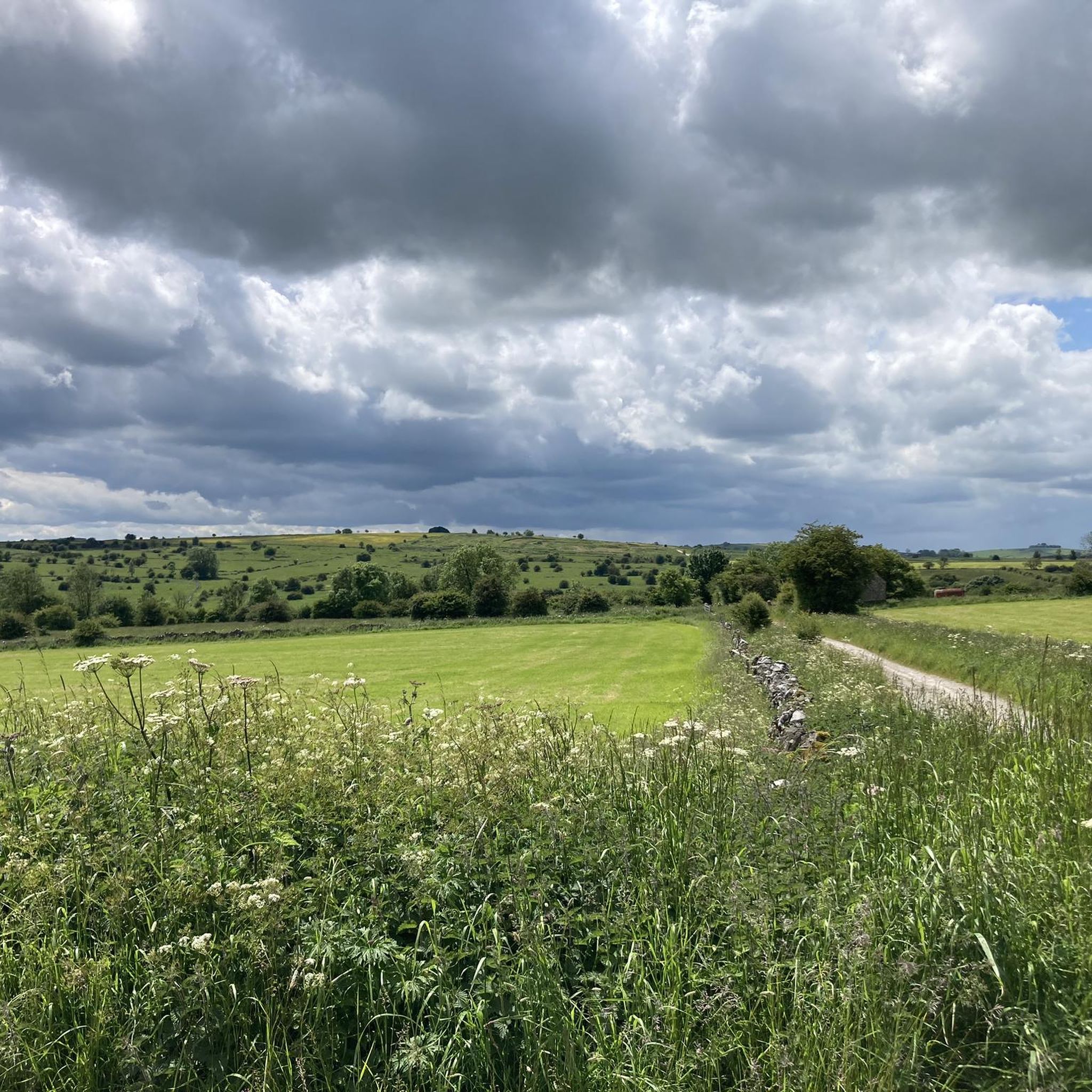
The upper Lathkill Dale has a very different atmosphere to the rest of the dale. Narrower and dryer, the limestone cliffs and screes rise dramatically. Rocky and grassy underfoot, it's idyllic and packed with character. The upper Lathkill is a fabulous place for wildflowers in spring and summer.
1
0
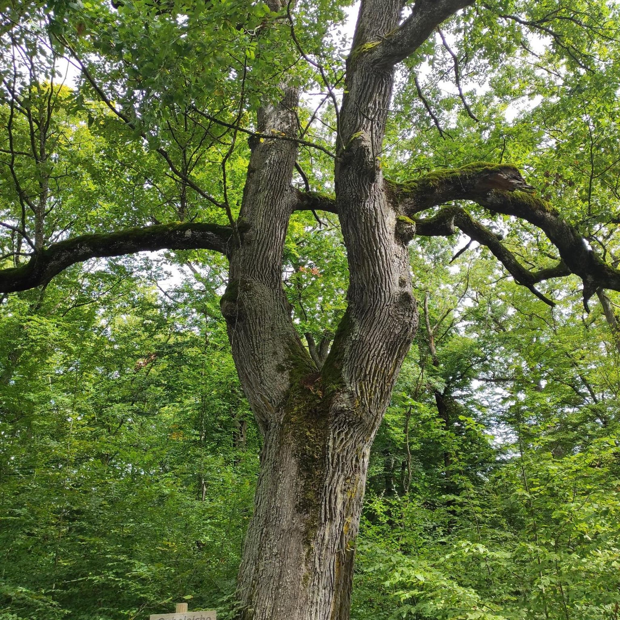
Bradford Dale is an idyllic wooded gorge that’s full of wildlife. The crystalline River Bradford flows from Middleton by Youlgrave to Alport, where it meets the River Lathkill. Along the way, the river’s course is interrupted by a succession of weirs and pools to encourage trout to breed. These pools are filled with watercress, king cups, reeds and rushes to provide a habitat for birds including the elusive kingfisher. On the stretch of Bradford Dale underneath Youlgrave, there’s a purpose-built swimming area on the river and expansive meadows for people to stretch out on.
2
0
Frequently Asked Questions
What types of canyons can I explore near Bonsall, California?
Near Bonsall, you can explore diverse canyon environments. Moosa Canyon is known as a significant wildlife corridor, ideal for nature observation. Grapevine Canyon Trail offers rugged off-road adventures and historical insights. For those seeking more active pursuits, Carney Canyon, accessible via the Lusardi Truck Trail, provides opportunities for 4x4 driving, mountain biking, and hiking within the Cleveland National Forest.
Are there any canyons near Bonsall with historical significance?
Yes, Grapevine Canyon Trail holds significant historical value. It was an important route for early settlers and miners into Borrego Valley and was also home to the Kumeyaay Indians, with artifacts still found in the area. Along the trail, you can find Yaqui Well, a historic year-round seep.
Which canyons near Bonsall are best for wildlife viewing?
Moosa Canyon is particularly excellent for wildlife observation, as it functions as a natural wildlife corridor connecting Hellhole Canyon to the San Luis Rey River. Additionally, the historic Yaqui Well along the Grapevine Canyon Trail attracts diverse bird species, offering unique bird-watching opportunities in a desert oasis.
What outdoor activities are available in Carney Canyon?
Carney Canyon, accessed via the Lusardi Truck Trail, is a multi-use route popular for high-clearance 4x4 driving, SUV excursions, dirt biking, and mountain biking. While hiking is possible, it's generally more suited for motorized transport due to exposure. It also provides access to the Cleveland National Forest and opportunities for dispersed camping.
Are there any easy or family-friendly canyon trails near Bonsall?
While the region's canyons offer varied experiences, Moosa Canyon provides a serene environment suitable for nature observation, which can be enjoyed by families. For specific trail difficulty, it's always recommended to research current conditions, especially for routes like Grapevine Canyon Trail which is primarily an off-road route, or Carney Canyon which is more rugged.
What should I know about hiking difficulty in Bonsall canyons?
The difficulty varies. Grapevine Canyon Trail is primarily an off-road route with hard-packed dirt and some sand, suggesting a more rugged experience. Carney Canyon, accessed via the Lusardi Truck Trail, is noted to be more suited for motorized transport due to exposure, implying hiking might be challenging. Always prepare for varied terrain and sun exposure.
Can I find unique geological features in the canyons around Bonsall?
Yes, Moosa Canyon is noted for a possible gemstone occurrence, adding an intriguing element for visitors interested in geology. The canyon's natural environment also showcases the region's unique geological formations.
Are there any trails that connect different natural areas near Bonsall?
Moosa Canyon is part of a broader trail system that aims to connect various natural areas in the region, linking Hellhole Canyon to the San Luis Rey River. The Grapevine Canyon Trail also serves as a scenic gateway to the Anza-Borrego Desert State Park.
Where can I find more information about trails and pathways in the Bonsall area?
For detailed information on trails and pathways, including planning and development, you can refer to the Bonsall Community Trails and Pathways Plan available on the San Diego County website: Bonsall Community Trails and Pathways Plan.
What is the best time of year to visit the canyons near Bonsall?
The Bonsall area generally experiences mild winters and hot summers. For outdoor activities like hiking and exploring canyons, the cooler months from fall through spring (October to May) are typically more comfortable. Summer months can be very hot, especially in more exposed areas like Grapevine Canyon, so early morning visits are recommended if visiting during this time.
Are there opportunities for dispersed camping near Bonsall canyons?
Yes, Carney Canyon, located within the Cleveland National Forest, offers opportunities for dispersed camping. Visitors should always check current regulations and fire restrictions with the Cleveland National Forest service before planning a trip.
What kind of scenery can I expect along the Lusardi Truck Trail leading to Carney Canyon?
The Lusardi Truck Trail, which ascends Carney Canyon, offers varied scenery. It passes between Black Butte and Black Mountain, providing diverse landscapes within the Cleveland National Forest. The trail itself is mostly hard-packed dirt with some rocky sections and creek crossings.
Most popular routes around Bonsall
Most popular attractions around Bonsall

Get inspired with the komoot mobile app


Explore more
Already discovered everything in this region? See additional gorges around Bonsall for your next adventure:
