The 6 Most Amazing Peaks around Tankersley
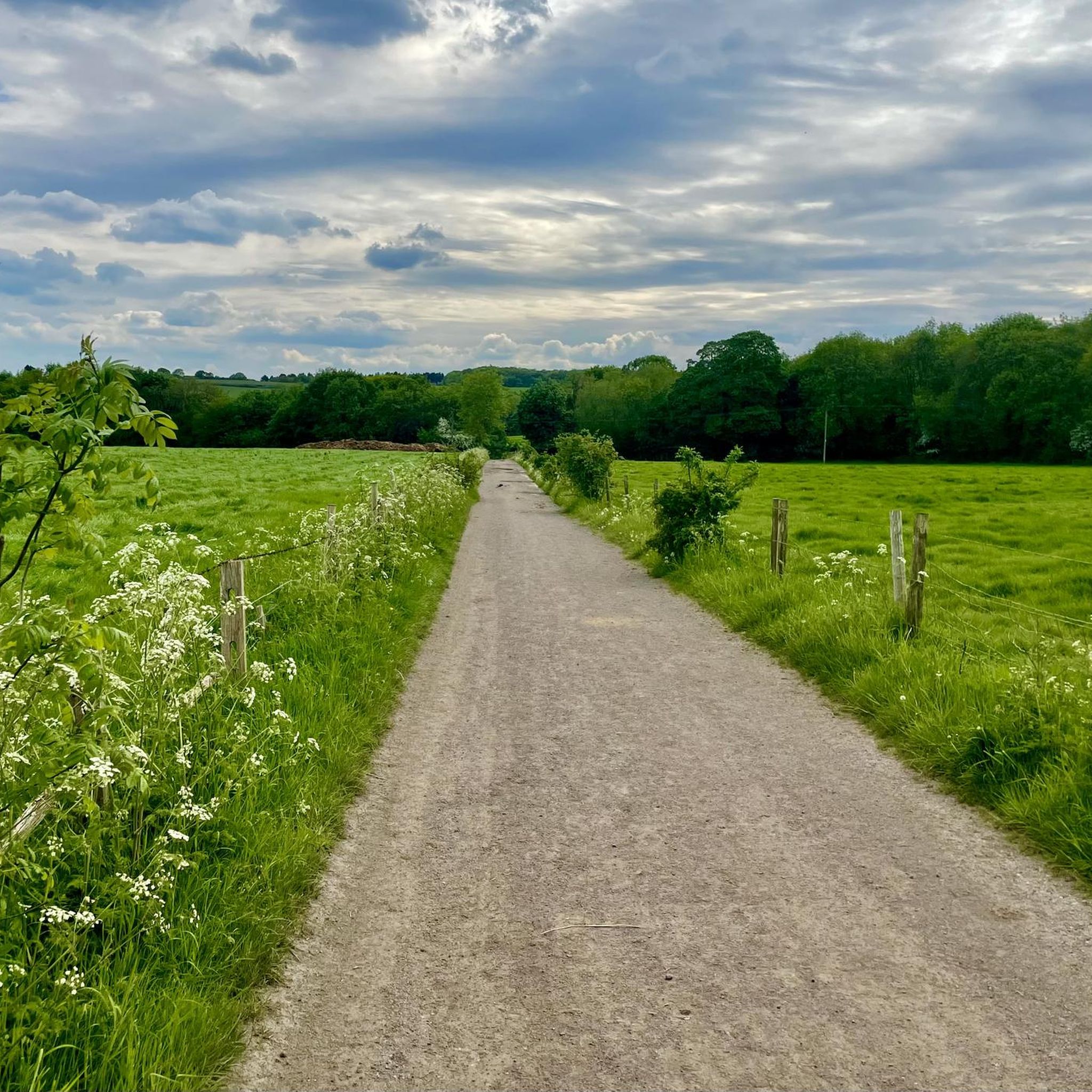
Mountain peaks around Tankersley are characterized by rolling hills and lush green fields within the Metropolitan Borough of Barnsley, South Yorkshire. While the area does not feature towering mountains, it offers several notable elevated points and charming hilly landscapes. These locations provide opportunities for walking and enjoying the countryside, with many offering views of the surrounding South Yorkshire landscape. The undulating terrain makes it a suitable region for outdoor activities and exploration.
Best mountain peaks around Tankersley
- The most popular…
Last updated: July 11, 2026
Whitwell Moor Trig Point
Highlight • Summit
Tip by

Grimethorpe Nature Reserve Summit
Highlight • Viewpoint
Tip by

Sign up now to discover places like this
Get recommendations on the best single tracks, peaks, & plenty of other exciting outdoor places.
Sign up for free
Pea Royd Lane Hill Climb Summit View
Highlight (Segment) • Viewpoint
Tip by

Canyards Hills Summit
Highlight • Viewpoint
County of Yorkshire Definitive List
Peak District National Park Definitive List summit
Tip by
Canyards Hills Northeast Top (338.5 m)
Highlight • Viewpoint
County of Yorkshire Definitive List
Peak District National Park Definitive List summit
Tip by
Sign up for free to discover even more peaks around Tankersley.
Sign up for free
Already have an account?
Start today with a free account
Your next adventure awaits.
Login or Signup
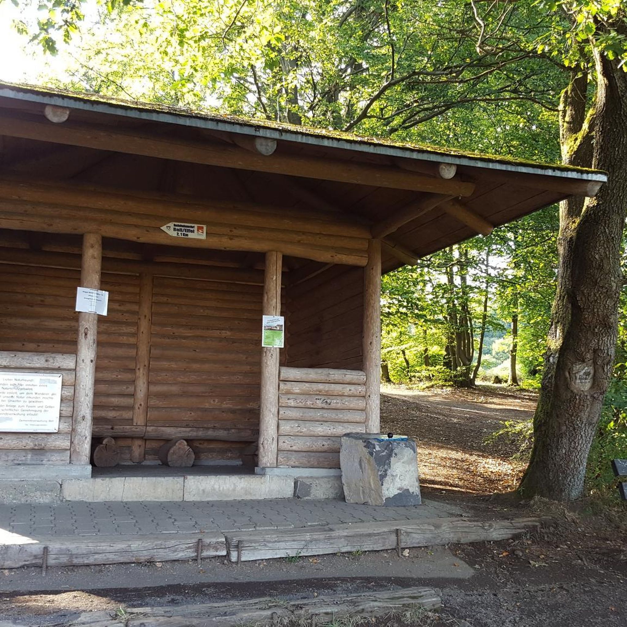
Tips from the Community


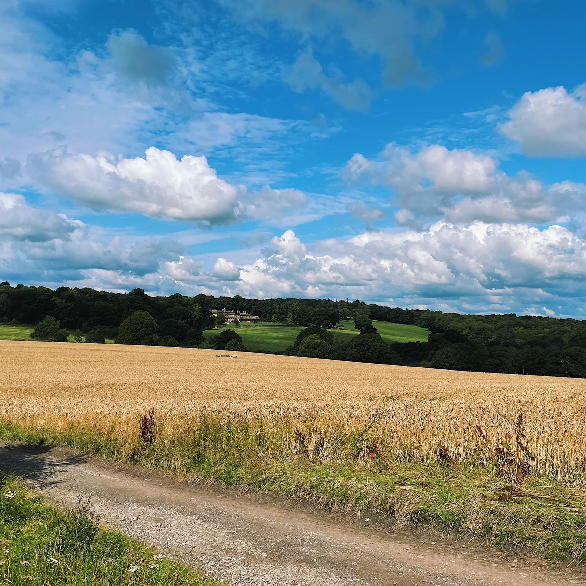
Canyards Hills Far NE Top 329.8m P 11.3 [JNSA s8436] County of Yorkshire Definitive List Peak District National Park Definitive List summit
0
0
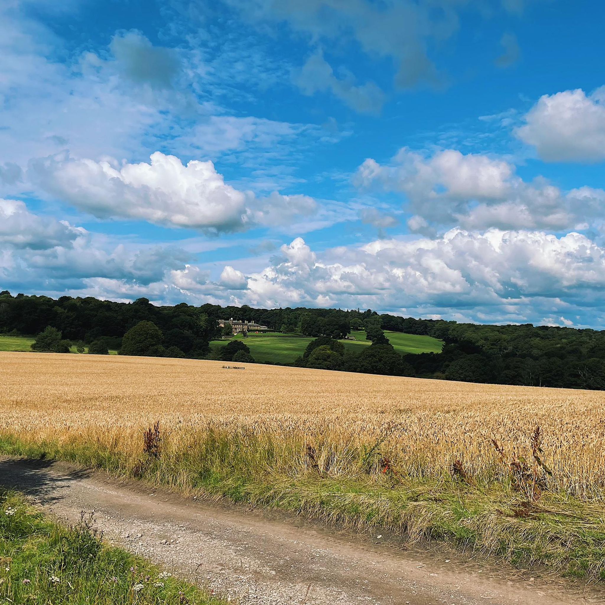
Canyards Hills NE Top 338.5m P 10.8 [JNSA s8021] County of Yorkshire Definitive List Peak District National Park Definitive List summit
0
0
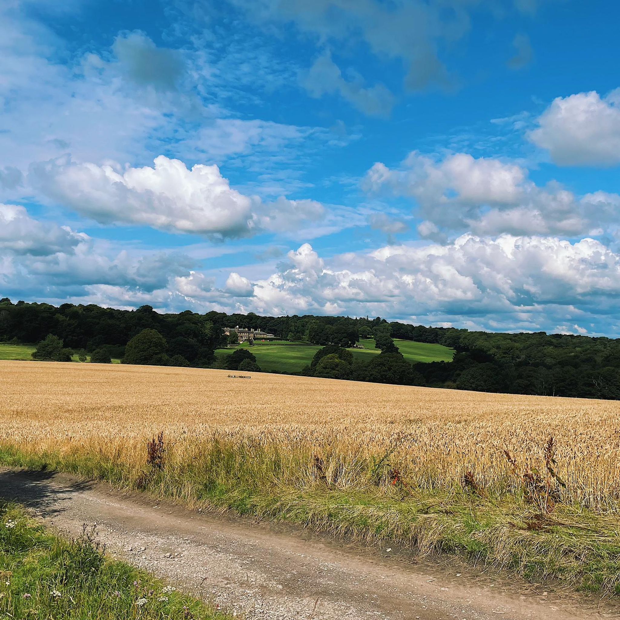
Canyards Hills 371.4m P14.1 (1218ft) (Hill ID: 511490) [JNSA s6650] County of Yorkshire Definitive List Peak District National Park Definitive List summit
0
0

Make sure your brakes are working if descending this.
0
0
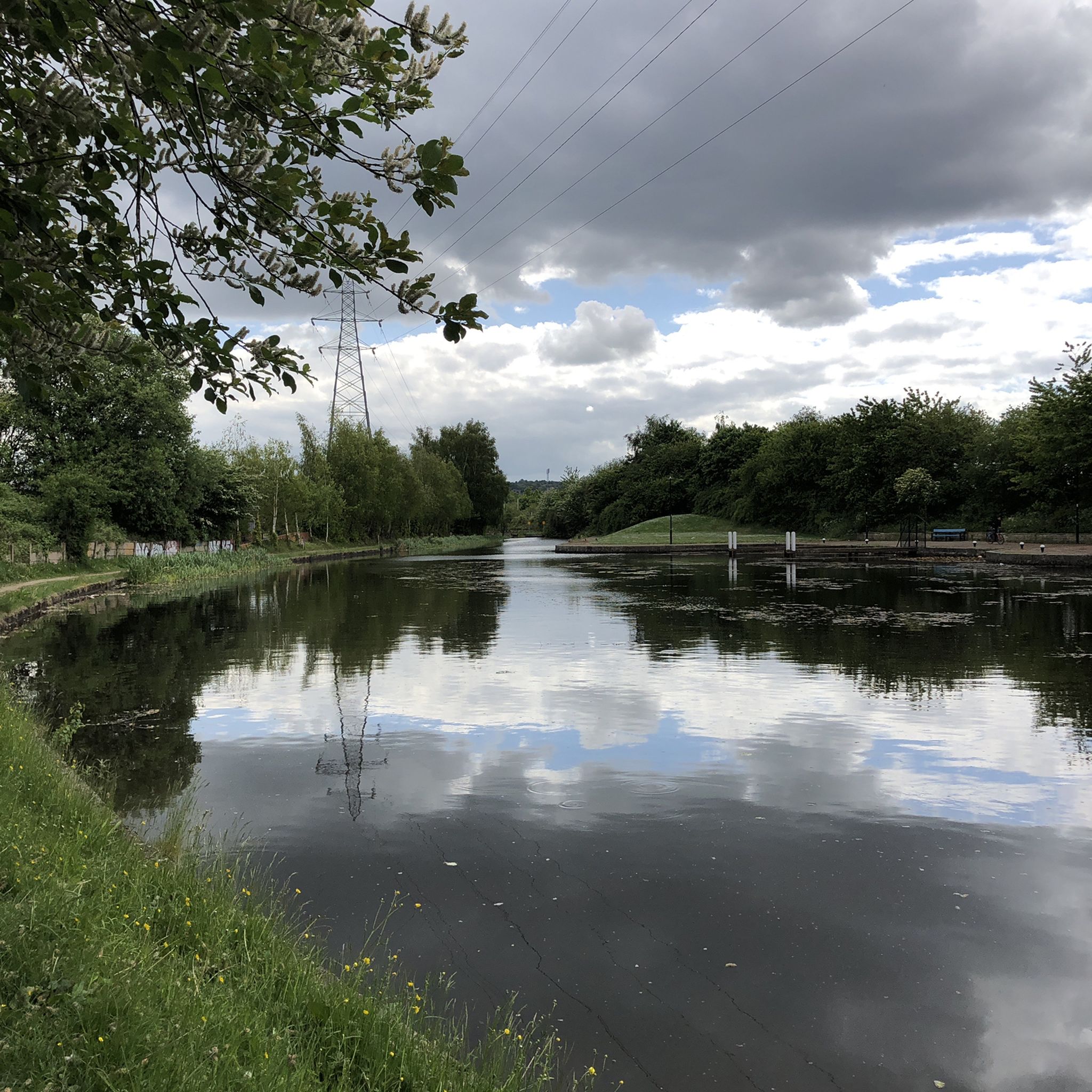
Grimethorpe Nature Reserve 83.9m P24.4 (275ft) County of Yorkshire Definitive List Summit
0
0
Grimethorpe Nature Reserve 83.9m P24.4 (275ft)
0
0

Frequently Asked Questions
What are some prominent elevated points or 'peaks' to explore around Tankersley?
While Tankersley is known for its rolling hills rather than towering mountains, you can explore several notable elevated points. These include Whitwell Moor Trig Point, which offers lovely views from a hilltop, and Grimethorpe Nature Reserve Summit, a recognized natural monument. Other elevated spots include the Pilley Hills and areas around St Peter's Church, which provide scenic walks and views.
Are there any family-friendly elevated walks or viewpoints in the Tankersley area?
Yes, the region offers several options suitable for families. Grimethorpe Nature Reserve Summit is categorized as family-friendly. The general hilly landscape of Tankersley, including areas like Pilley Hills and the Tankersley Golf Course woodlands, provides pleasant walks with elevated sections that are often suitable for all ages.
What kind of views can I expect from the elevated points near Tankersley?
From the elevated points around Tankersley, you can expect panoramic views of the surrounding South Yorkshire landscape, characterized by rolling hills and lush green fields. For instance, Whitwell Moor Trig Point offers extensive countryside views, and the Pea Royd Lane Hill Climb Summit View provides a 'top of the world' feeling with expansive vistas after a challenging ascent.
Are there challenging climbs or routes for experienced hikers or cyclists in the area?
For cyclists, the Pea Royd Lane Hill Climb Summit View is a challenging ascent with an average gradient of 14% and maximums of 17%, offering a true taste of Yorkshire cycling. While traditional 'mountain climbing' is not typical, the undulating terrain provides plenty of challenging walks and bike routes. You can find difficult road cycling routes like the 'Damflask Reservoir – Thornhill Lane loop' which is over 100 km long, starting from Elsecar, as part of the Road Cycling Routes around Tankersley guide.
Can I find easy walks with elevated views around Tankersley?
Yes, Tankersley's hilly landscape is ideal for easy walks with elevated views. Black Hill is noted as an 'easy summit from car park,' providing an accessible elevated point. Additionally, the Easy hikes around Tankersley guide features routes like the 'Chapeltown Woods loop' and 'Greno Wood (Nature Reserve) loop from Chapeltown,' which offer pleasant strolls through elevated woodlands.
What outdoor activities can I do near the elevated points around Tankersley?
The elevated points and hilly terrain around Tankersley are perfect for various outdoor activities. You can enjoy hiking, road cycling, and mountain biking. For hiking, explore routes in the Easy hikes around Tankersley guide. Cyclists can find routes in the Road Cycling Routes around Tankersley guide, and mountain bikers can check out the MTB Trails around Tankersley guide for suitable trails.
Are there specific routes for mountain biking on or near the elevated terrain?
Yes, there are mountain biking trails that incorporate the undulating terrain around Tankersley. The MTB Trails around Tankersley guide includes routes such as the 'Thurgoland Tunnel – Langsett Reservoir loop from Tankersley' and the 'Swans at Elsecar Canal – Dove Valley Trail loop from Elsecar,' offering moderate to easy rides through varied landscapes.
Where can I find information about the historical significance of elevated areas in Tankersley?
The parish church of St Peter in Tankersley is situated on a hill overlooking the M1 motorway, with parts dating back to the 14th century. A visit to this elevated spot offers a blend of natural scenery and heritage. While not a mountain, its elevated position provides historical context within the landscape. For more general historical information about the village, you might find resources on the Tankersley Wikipedia page.
What is the best time of year to visit Tankersley for walking and enjoying the elevated landscapes?
The rolling hills and green fields of Tankersley are enjoyable throughout the warmer months, typically from spring to early autumn (April to October), when the weather is milder and the landscape is lush. These periods are ideal for walking and cycling, allowing for comfortable exploration of the elevated points and their views.
Are there any nature reserves or areas for wildlife spotting on the elevated points?
Yes, Grimethorpe Nature Reserve Summit is a key location for experiencing nature and potentially spotting wildlife. The surrounding woodlands, such as those adjacent to Tankersley Golf Course and areas like Chapeltown Woods, also provide habitats for local flora and fauna, offering opportunities for nature observation during your walks.
Are there any circular walks that incorporate the elevated areas around Tankersley?
Yes, many of the walks in the area are designed as circular routes, allowing you to experience the varied terrain. For example, the Easy hikes around Tankersley guide includes circular routes like the 'Chapeltown Woods loop' and the 'Elsecar Train Station loop from Elsecar,' which often traverse elevated sections and offer scenic views.
What are some unique or 'hidden gem' elevated spots near Tankersley?
Beyond the more popular highlights, exploring the local footpaths around the Pilley Hills and the elevated sections within the Tankersley Golf Course and its adjacent woodlands can reveal quieter, charming spots. These areas offer pleasant strolls and opportunities to enjoy the tranquil South Yorkshire countryside away from more crowded locations.
How accessible are the elevated points around Tankersley by public transport?
While specific public transport routes to every elevated point may vary, Tankersley village itself is served by local bus routes. From key transport hubs in nearby towns like Barnsley or Sheffield, you can often find connections. For detailed planning, it's advisable to check local bus schedules for routes serving Tankersley and surrounding areas before your visit.
Most popular routes around Tankersley
Most popular attractions around Tankersley

Get inspired with the komoot mobile app


Explore more
See even more amazing summits around Tankersley with these guides:
