The 5 Most Amazing Peaks around Isfield
Best mountain peaks around Isfield are characterized by the rolling hills of the South Downs and the Weald, rather than towering mountains. Isfield, located in East Sussex, offers elevated landscapes with notable points like Ditchling Beacon, the highest point in East Sussex at 248 meters. The area provides opportunities for walks through varied terrain, showcasing the natural features of the East Sussex countryside. These elevated spots offer viewpoints across the region.
Best mountain peaks around Isfield
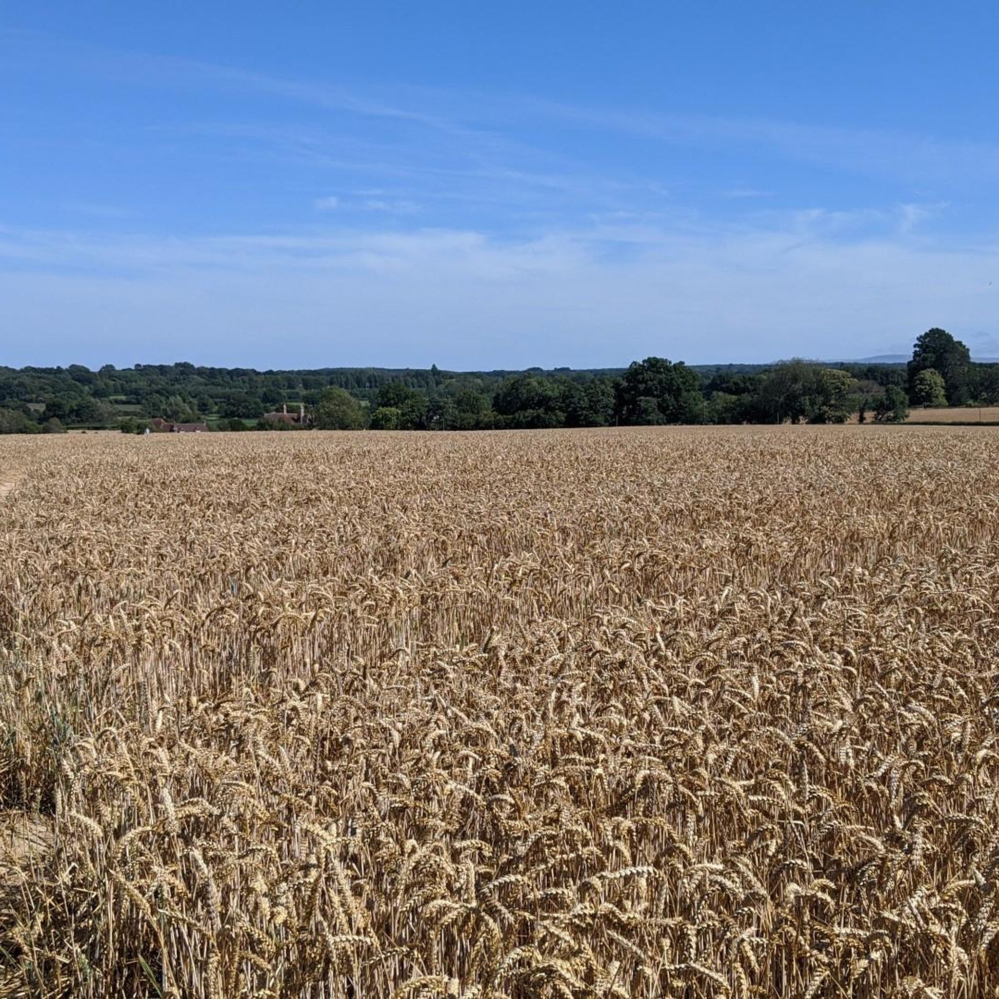
- The most popular mountain peaks is Blackcap Summit and Trig Point, a viewpoint that offers wonderful views over the Weald to the North and the Downs to the South. This National Trust owned area stands at 206 meters high and provides panoramic views across the surrounding countryside.
- Another must-see spot is King's Standing Clump, a viewpoint and natural monument. This is the highest point in Ashdown Forest, named after a lookout tower where royalty once hunted deer. Visitors can expect views and a historical site marked by a clump of trees.
- Visitors also love Cliffe Hill Trig Point, a viewpoint and summit. This hill, with its 164-meter summit, is impressive on its western edge, looming over the town of Lewes. It is notable for being the second lowest Marilyn in England and features a trig pointed summit.
- Isfield is known for summits, viewpoints, and natural monuments. The area offers a variety of elevated landscapes to see and explore, ranging from intermediate climbs to family-friendly spots.
- The mountain peaks around Isfield are appreciated by the komoot community, with more than 180 upvotes and 48 photos shared by visitors.
Last updated: October 1, 2026
Blackcap Summit and Trig Point
Highlight • Viewpoint
Some wonderful views over the Weald to the North and it is also next to a wonderful forested escarpment. You can also see the beacon at Mount Harry to the East and the Downs at the back of Newhaven to Brighton to the South.
Tip by

King's Standing Clump
Highlight • Viewpoint
Tip by

Sign up now to discover places like this
Get recommendations on the best single tracks, peaks, & plenty of other exciting outdoor places.
Lewes Beacon on Mount Harry
Highlight • Historical Site
Historically, the beacon was used as a signal point during times of conflict and also as a place for locals to gather and celebrate. Today, the landmark is a popular spot for walkers and anyone looking for a refreshing nature fix.
Tip by

Cliffe Hill Trig Point
Highlight • Viewpoint
Tip by

View of Lewes and the South Downs from Mount Caburn
Highlight (Segment) • Summit
Start from Ringmer, park up at the Green Man Pub or cycle to the start point. Note this route includes use of footpaths, so be careful of walkers. I've included a circular route in the middle but you can stick to the footpath leading up to the Glyndebourne turbine for both directions. Once up to Cliff its good fun to explore before coming back - Mount Cabin ("The Cabin" on this map) is in the south and Southerham Nature reserve in the North. Once you've you finished return back where most of your journey will be downhill. I highly recommend the food at the Green Man.
Tip by

Start today with a free account
Your next adventure awaits.
Tips from the Community


Nice enough trig pointed hilltop and easy enough to get to with grand views out over the South Downs.
0
0

Mount Harry rises to a height of 627 feet (191 m) and offers panoramic views of the surrounding countryside, including the South Downs and the Ouse Valley. It's characterised by the tall brazier, known as Lewes Beacon. This was erected in 2002 as a reminder of the beacon that stood here from the 16th century to warn of danger.
0
0

The locally well-known Lewes Beacon stands on top of Mount Harry and commands beautiful views over the town and surrounding countryside. Historically, the beacon was used as a signal point during times of conflict and also as a place for locals to gather and celebrate. Today, the landmark is a popular spot for walkers and anyone looking for a refreshing nature fix.
2
0
Black Cap is a prominent hill located in the South Downs National Park in East Sussex. The hill stands at 206 m high and provides some glorious panoramic views across the surrounding countryside and coastline.
1
0
Cliffe Hill is a hill to the east of the town of Lewes in East Sussex, England. It is impressive on its western edge, where it looms over Lewes. Its 164m summit is covered in a golf course. It is the second lowest Marilyn in England and it has a trig pointed summit.
2
0


Tip mainly for E bike users exploring Mt Caburn - it’s mainly styles and tight kissing gates so you will be doing some strong lifting of the bike over your head if you want access to Caburn
0
0
Frequently Asked Questions
What kind of elevated landscapes can I expect to find around Isfield?
Isfield, located in East Sussex, is characterized by rolling hills rather than towering mountains. You'll find elevated landscapes primarily within the South Downs and the Weald. These areas offer significant viewpoints and natural features, such as Blackcap Summit and Trig Point, which stands at 206 meters high.
What are some of the most notable elevated points or 'peaks' near Isfield?
Some of the most notable elevated points include Blackcap Summit and Trig Point, offering panoramic views over the Weald and the Downs. Another significant spot is King's Standing Clump, the highest point in Ashdown Forest, known for its historical significance. Additionally, Cliffe Hill Trig Point provides impressive views looming over the town of Lewes.
Are there any historical sites associated with the elevated points near Isfield?
Yes, King's Standing Clump in Ashdown Forest is a notable historical site. It's named after a lookout tower where royalty once hunted deer, and the area also has connections to an old government bunker from the Cold War era.
What kind of views can I expect from the 'peaks' around Isfield?
The elevated points around Isfield offer wonderful panoramic views. From Blackcap Summit and Trig Point, you can see across the Weald to the North and the Downs to the South. King's Standing Clump provides expansive views over Ashdown Forest, while Cliffe Hill Trig Point offers impressive vistas over the town of Lewes.
Are there family-friendly walking options among the elevated areas near Isfield?
Yes, King's Standing Clump is categorized as family-friendly. It's a great place for walks, and you might even find an ice cream van in the King's Standing Car Park, making it a pleasant stop for families.
What outdoor activities can I do near the elevated points around Isfield?
Beyond walking and enjoying the views, the region around Isfield offers various outdoor activities. You can explore MTB Trails, go Cycling, or enjoy Running Trails. These guides provide routes of varying difficulties, allowing you to experience the East Sussex countryside.
Are there specific walking or cycling routes that incorporate these elevated points?
Yes, for cycling, routes like the 'Firle Beacon summit – Ashcombe Windmill loop from Isfield' are available, which can take you through elevated terrain. For running, you can find routes like the 'Isfield Pound – Rose and Crown Inn loop from Uckfield' that explore the local countryside. You can find more details in the MTB Trails around Isfield, Cycling around Isfield, and Running Trails around Isfield guides.
What is the highest point in East Sussex, and is it near Isfield?
The highest point in East Sussex is Ditchling Beacon, reaching an elevation of 248 meters (814 feet). While not directly in Isfield, it is located on the South Downs, which is part of the broader geographical area that defines the elevated landscapes around Isfield.
What are the typical difficulty levels for walks around the elevated areas near Isfield?
The walks around Isfield's elevated areas range from intermediate climbs to family-friendly spots. Highlights like Blackcap Summit and Trig Point and Cliffe Hill Trig Point are generally considered intermediate, while King's Standing Clump offers more accessible, family-friendly options.
What do visitors particularly enjoy about the elevated points near Isfield?
Visitors frequently praise the wonderful panoramic views from spots like Blackcap Summit and Trig Point, often noting it as a great place for a snack. The historical significance and the natural beauty of areas like King's Standing Clump are also highly appreciated.
Are there any specific natural features to look out for when visiting these elevated areas?
Yes, the area is rich in natural features. Blackcap Summit and Trig Point is part of the Clayton to Offham Escarpment SSSI (Site of Special Scientific Interest), indicating its ecological importance. King's Standing Clump is notable for its forest setting within Ashdown Forest.
Most popular attractions around Isfield

Get inspired with the komoot mobile app


Explore more
See even more amazing summits around Isfield with these guides:
