The 4 Most Amazing Peaks around Glastonbury
Best mountain peaks around Glastonbury provide prominent elevations offering expansive views of the Somerset Levels. The region features unique geological formations, with hills and tors that rise distinctly from the surrounding landscape. Glastonbury is known for its cultural and historical significance, particularly centered around Glastonbury Tor. These natural features offer varied terrain for hiking and exploration, making them popular for Glastonbury area hiking trails.
Best mountain peaks around Glastonbury
- The most popular mountain peaks is Glastonbury Tor, a summit…
Last updated: September 4, 2026
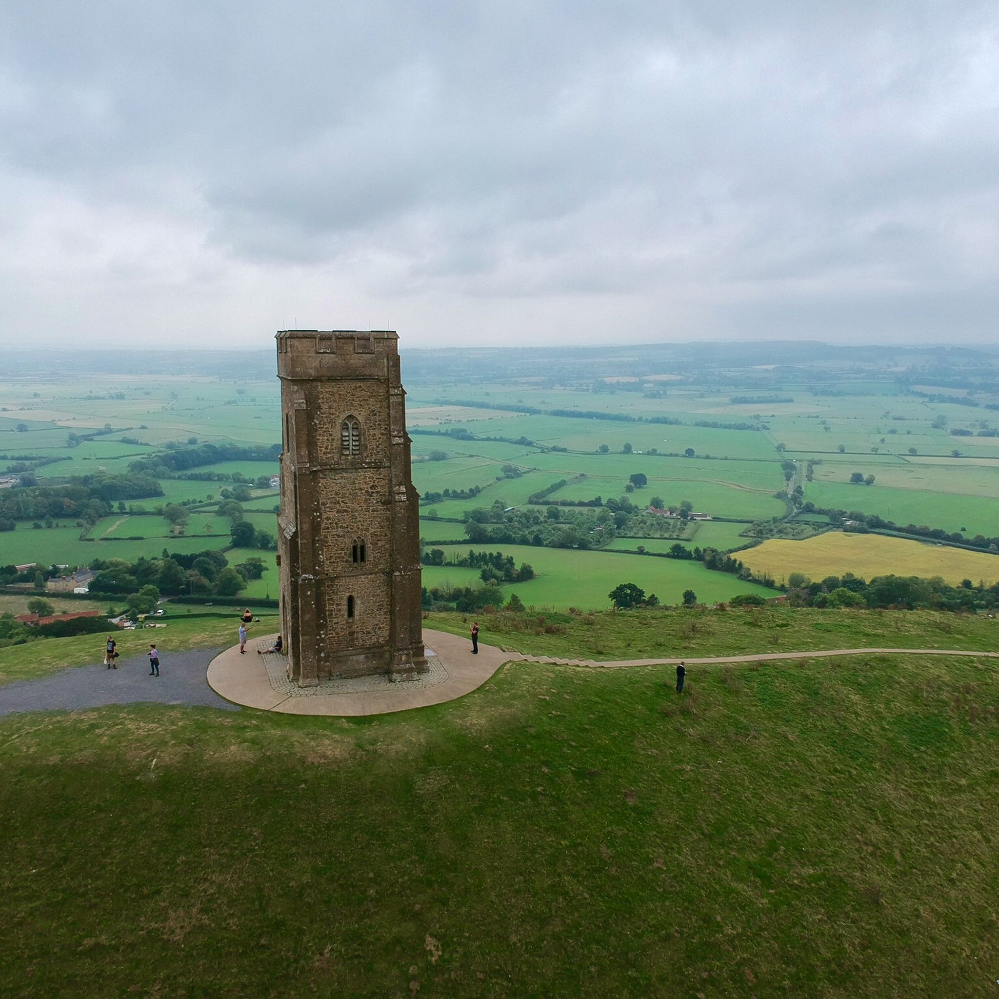
Glastonbury Tor
Highlight • Summit
Tip by

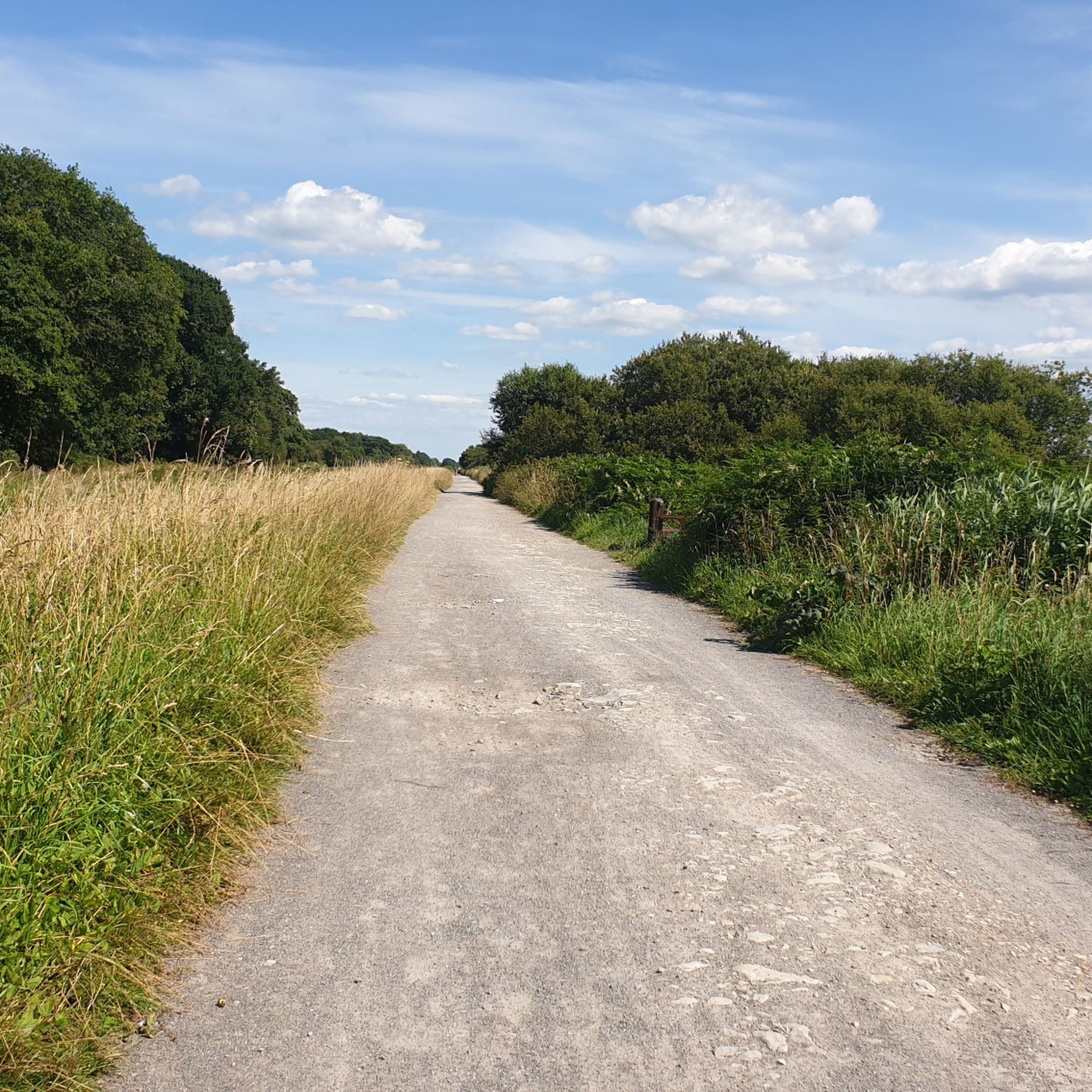
Lollover Hill Trig Point
Highlight • Trail
Tip by

Sign up now to discover places like this
Get recommendations on the best single tracks, peaks, & plenty of other exciting outdoor places.
Sign up for free
Nyland Hill
Highlight • Summit
Tip by

Walton Hill
Highlight • Viewpoint
Tip by

Start today with a free account
Your next adventure awaits.
Login or Signup

Other adventures around Glastonbury

Tips from the Community

Lollover Hill with its trigpoint at 90m isn't massively high but it's position on the edge of the Somerset levels means it offers 360 views. There is a nice trail up to and around the hill which is nice for a short walk, or you can combine it with nearby Wildlife Trust managed Dundon Hill.
1
0

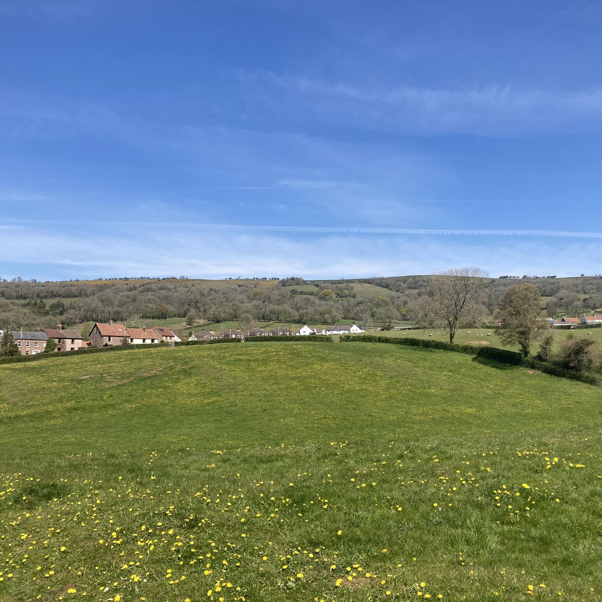
Nyland Hill has amazing views towards the Mendip Hills and a fantastic display of wildflowers and limestone grassland. Steep climbs to the top though!
0
0

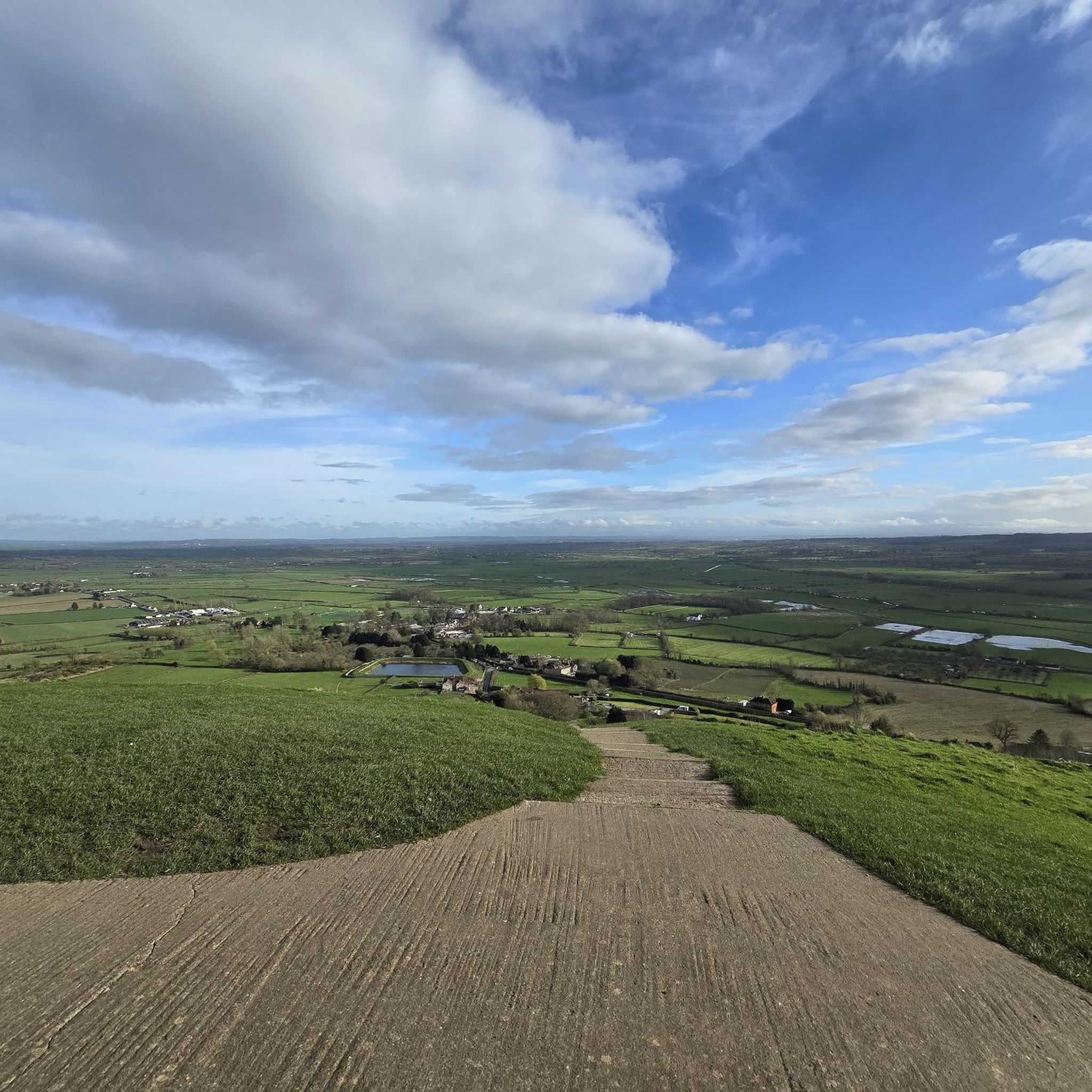
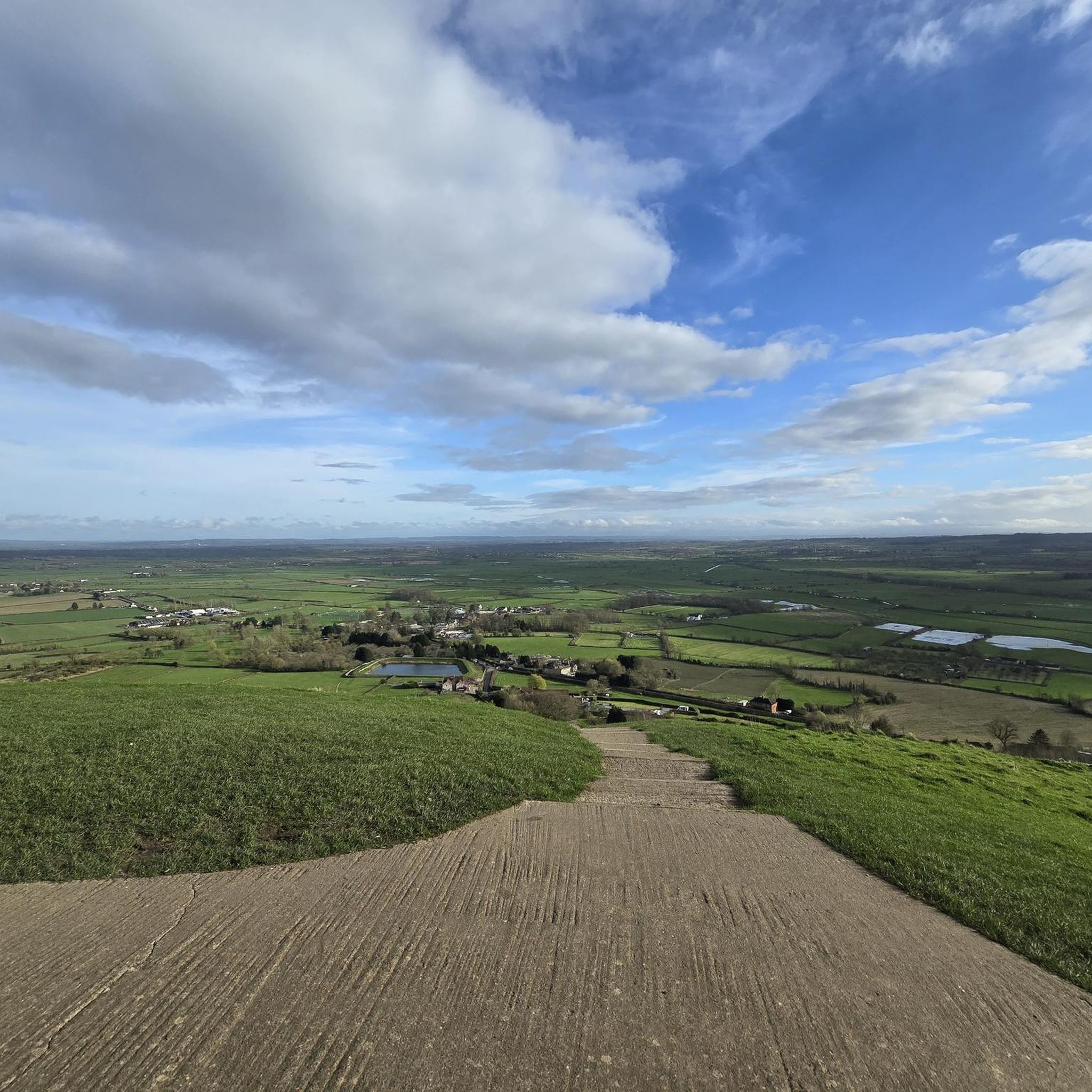
https://youtu.be/pZAoONJz04g The climb up the 301 steps to the famous summit is well worth it for the views.
3
0


Situated just a small walk from Glastonbury Centre, Glastonbury Tor Hill stands at a height of 158 m… The walk to the top is steep, and may require stops, but in general terms is only a small climb. The views are breath taking, on a clear day you can see across to the Bristol Channel. The views are amplified by the low land area which can be seen in every direction.
2
0

A steep climb from either side of the hill, but free access and stunning views from the top.
3
0
The remains of the church that was destroyed during the Dissolution of the Monasteries by Henry VIII
2
0
Frequently Asked Questions
What are the most popular peaks to visit around Glastonbury?
The most prominent and popular peak is Glastonbury Tor, known for its iconic tower and panoramic views. Other notable hills offering excellent vistas include Lollover Hill Trig Point, Nyland Hill, and Walton Hill.
What is the best time of year to hike the peaks near Glastonbury?
While the peaks can be enjoyed year-round, spring and autumn offer pleasant temperatures and beautiful scenery. Glastonbury Tor is especially beautiful near sunrise or sunset, but it can be quite windy at the top, so be prepared for varying weather conditions regardless of the season.
Are there family-friendly hiking options around Glastonbury's peaks?
Yes, many of the trails around Glastonbury's peaks are suitable for families. For easy hikes, consider routes like "Glastonbury Tor from Stone Down Lane" or "Paddington Farm Trust loop via Gog & Magog." You can find more options in the Easy hikes around Glastonbury guide.
What kind of natural features can I expect to see on these peaks?
You'll encounter diverse natural landscapes. Nyland Hill is known for its fantastic display of wildflowers and limestone grassland. Walton Hill, a Site of Special Scientific Interest, is a thriving habitat for butterflies, plants, and other wildlife. All peaks offer expansive views of the Somerset Levels and beyond.
What historical or cultural landmarks are found on these peaks?
Glastonbury Tor is a significant historical site, featuring the ruins of 15th-century St Michael's Church at its summit. It's also steeped in local folklore, thought by some to be the mythical Avalon. Walton Hill features an old windmill, now a private residence, adding to its historical charm.
How difficult are the trails to the top of Glastonbury Tor?
The climb to Glastonbury Tor is generally considered intermediate in difficulty. While not excessively long, it is a steady ascent. Comfortable footwear is recommended. You can start from the town and even fill up with free spring water at the base of the hill.
Are there public transport options to reach the hiking trails?
Yes, Glastonbury is well-served by public transport. You can find various hiking routes that start conveniently from bus stations around the town. Explore options in the Hikes from bus stations around Glastonbury guide.
Can I bring my dog on the trails around Glastonbury's peaks?
Many trails in the Glastonbury area and surrounding Mendip Hills are dog-friendly. However, it's always best to check local signage for specific restrictions, especially in nature reserves or areas with livestock, and keep dogs on a lead where required.
What other outdoor activities can I do near these peaks?
Beyond hiking, the area around Glastonbury offers opportunities for cycling. You can find several traffic-free bike rides, such as the "Western Somerset Levels loop from Glastonbury" or the "Willow Walk – Sweets Tea Rooms loop from Glastonbury." Check out the Traffic-free bike rides around Glastonbury guide for more details.
What do visitors enjoy most about the peaks around Glastonbury?
Visitors consistently praise the amazing panoramic views from the summits, especially from Glastonbury Tor, which offers vistas of the Somerset Levels, Dorset, Wiltshire, and even Wales. The sense of history and the unique natural beauty, including wildflowers and wildlife, are also frequently highlighted.
Are there any hidden gem peaks or trails worth exploring?
Lollover Hill Trig Point, while not as famous as Glastonbury Tor, offers fantastic 360-degree views from its 90m summit and can be combined with a visit to nearby Wildlife Trust managed Dundon Hill for a pleasant, less-trafficked walk.
Most popular routes around Glastonbury
Most popular attractions around Glastonbury

Get inspired with the komoot mobile app


Explore more
See even more amazing summits around Glastonbury with these guides:
