The 11 Most Amazing Peaks around Maghery
Best mountain peaks around Maghery, a coastal area in County Donegal, Ireland, offer diverse hiking experiences. The region features rolling inland hills and coastal paths, with several prominent mountains accessible within a short drive. This landscape provides ample opportunities for exploration, from challenging ascents to more leisurely walks. The area is characterized by its wild and beautiful scenery, open moorland, and a low population density.
Best mountain peaks around Maghery
- The most popular mountain peaks is Slieve Foye Summit,…
Last updated: June 29, 2026
Slieve Foye Summit
Highlight • Summit
Tip by

Barnavave Summit
Highlight • Summit
Translated by Google •
Tip by

Sign up now to discover places like this
Get recommendations on the best single tracks, peaks, & plenty of other exciting outdoor places.
Sign up for free
Slievemartin Summit & View of Carlingford Lough
Highlight • Summit
From here you can see Rostrevor, Warrenpoint and across to Carlingford and O'Meath in the …
Tip by

Slieve Muck Summit
Highlight • Summit
Tip by

Slievemeen Summit
Highlight • Summit
A great walk for kids as it's relatively close …
Tip by
Sign up for free to discover even more peaks around Maghery.
Sign up for free
Already have an account?
Start today with a free account
Your next adventure awaits.
Login or Signup



Tips from the Community

Two wooden ladders cross the wall on the way to the Silver Muck mountain peak
2
0

Here it is worth climbing the mountain
0
2

Wikipedia (Slieve Foy (Irish: Sliabh Feá), 2023-12-02): https://en.m.wikipedia.org/wiki/Slieve_Foy Wikipedia (Lists of mountains in Ireland, 2023-12-02): https://en.m.wikipedia.org/wiki/Lists_of_mountains_in_Ireland MountainViews.ie (Slieve Foye, 2023-12-02): https://mountainviews.ie/summit/298/ TheIrishRoadtrip (“A Guide To The Slieve Foye Loop: Trail, Parking + Handy Info”, 2023-12-02): https://www.theirishroadtrip.com/slieve-foye-loop/
2
1
Wikipedia (Cooley Mountains, 2024-07-28): https://en.m.wikipedia.org/wiki/Cooley_Mountains "... Barnavave (350m). This latter name comes from Bearna Mhéabha (Maeve's Gap), and refers to the legendary Queen Medb (Maeve), whose army is said to have dug a pass through the mountain. ..."
1
0

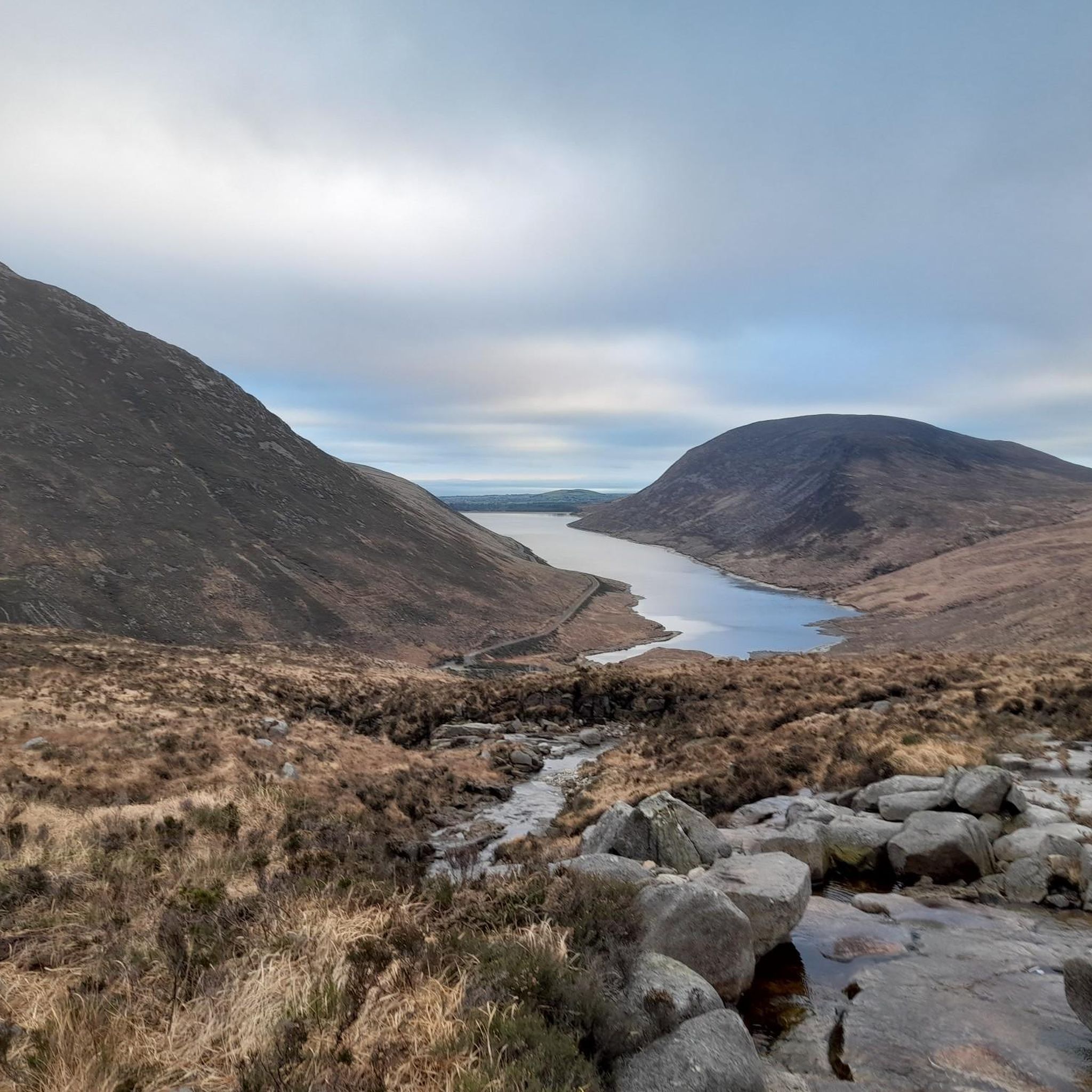
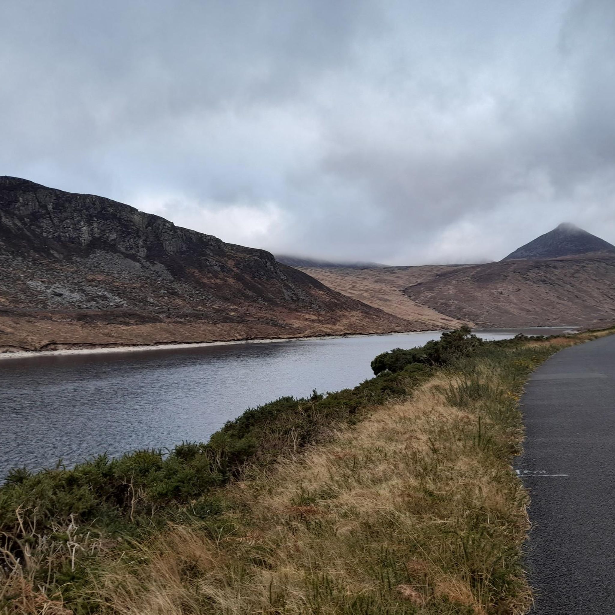
Slieve Muck, meaning Pig Mountain) is 2,199 feet (670 m) high. The source of the River Bann is on its Northern slope. Under a certain light the stony side of the eastern slope seems to spell out 'poverty', leading to some locals calling it Poverty Mountain.
1
0

Slieve Foye peak on the Carlingford Mountain have spectacular views across Carlingford Lough. The difficult climb is well worth it.
0
0

The ascent to Slieve Muck from the main road is quite a steep and punchy one. It's a great one to do if you want elevation, and quickly. From the top, you can marvel at the rugged beauty of the Mourne landscape, and, on a clear day, you might even catch a glimpse of the Irish Sea.
1
0

Also known as Carlingford Mountain, Slieve Foy or Slieve Foye is a mountain on the Cooley Peninsula in Louth, Ireland. It is the highest of the Cooley Mountains at 589m and indeed the highest in the county. Superb views can be enjoyed up here at the summit.
0
0
Frequently Asked Questions
What are some of the most notable mountain peaks accessible from Maghery?
Maghery provides access to a variety of impressive peaks. County Donegal's tallest and most iconic peak, Mount Errigal, is within a short drive. Other significant peaks include the broader Derryveagh Mountains, and in the Mourne Mountains, you can explore Slieve Doan, Slieve Binnian, and Wee Binnian. From the guide data, Slieve Foye Summit, Slievemeen Summit, and Eagle Mountain are also popular choices.
Which mountain peaks offer the best panoramic views around Maghery?
For breathtaking 360-degree panoramic views, Mount Errigal is highly recommended, offering vistas across Glenveagh National Park, the Atlantic Ocean, and even as far as Slieve Snaght and Ben Bulben on a clear day. Slieve Doan in the Mourne Mountains also provides exceptional 360-degree views of the entire Mourne range. Slievemeen Summit, despite its modest height, is noted for its incredible views, and Barnavave Summit offers beautiful views of Carlingford, the Mourne Mountains, and the Irish Sea.
Are there family-friendly mountain walks or easy hikes near Maghery?
Yes, there are several options suitable for families or those seeking easier walks. Wee Binnian in the Mourne Mountains is a smaller peak with a gradual incline, making it a family-friendly choice. Slievemeen Summit is also highlighted as a great walk for kids due to its relatively close proximity to parking and a nice summit for a picnic. For more easy hiking routes, you can explore the Easy hikes around Maghery guide.
What kind of natural features can I expect to see on these mountain peaks?
The region's mountain peaks showcase diverse natural features. Mount Errigal is famous for its distinctive quartzite composition, giving it a unique shimmering effect and pinkish hue. The Derryveagh Mountains feature windswept heaths, desolate valleys, charming lakes, and vary from granite cones to quartzite domes. Slieve Binnian is known for its broad, flat summit adorned with impressive rocky tors and granite towers.
What are the Derryveagh Mountains like for hiking, beyond Mount Errigal?
Beyond Errigal, the broader Derryveagh Mountains offer extensive hiking and exploration. This range defines much of County Donegal's geography, presenting a landscape of windswept heaths, desolate valleys, and charming lakes. They are known for their quiet and peaceful atmosphere, providing excellent opportunities for those seeking wilderness and solitude. You can find more information about the area at visitacity.com.
Are there challenging mountain peaks for experienced hikers near Maghery?
Experienced hikers will find several challenging options. Mount Errigal offers a rewarding climb, typically taking 2-3 hours for the ascent. Slieve Binnian in the Mourne Mountains involves dramatic landscapes and challenging terrain, with sections requiring scrambling over granite boulders. Slieve Foye Summit is the highest of the Cooley Mountains and presents a steep, quick route to the top. Eagle Mountain and Pierce's Castle are also noted as challenging climbs with extensive views.
Can I spot wildlife on the mountain trails around Maghery?
Yes, the mountain areas around Maghery are home to diverse flora and fauna. Mount Errigal, for instance, is known for rare mountain plants, birds of prey, and wild goats. The wild and beautiful scenery of the Derryveagh Mountains also provides habitats for various species, offering opportunities for wildlife spotting during your hikes.
What outdoor activities can I do near these mountain peaks?
Beyond hiking, the region around Maghery offers various outdoor activities. You can find numerous cycling routes, including options for touring bicycles and mountain biking. For cycling, check out the Cycling around Maghery guide. If you prefer mountain biking, the MTB Trails around Maghery guide provides several routes, including challenging loops in the Cooley Mountains.
What is the best time to visit Maghery for hiking in the mountains?
The best time to visit Maghery for hiking is generally during the warmer and drier months, typically from late spring to early autumn (May to September). During this period, you can expect more stable weather conditions, longer daylight hours, and clearer views from the summits. However, weather in Donegal can be unpredictable, so always be prepared for changing conditions.
Are there any less crowded mountain peaks near Maghery for a more peaceful experience?
For a less crowded experience, consider Slieve Doan in the Mourne Mountains. It's a popular choice but generally sees fewer visitors than some of its larger Mourne counterparts, offering a more tranquil hike. Wee Binnian is also a smaller, lesser-known peak that provides a peaceful walk with excellent views without the crowds.
What should I wear when hiking in the Donegal mountains?
When hiking in the Donegal mountains, it's crucial to dress in layers, as weather conditions can change rapidly. Waterproof and windproof outer layers are essential, even in summer. Sturdy hiking boots with good ankle support are highly recommended, especially for rocky or boggy terrain. Don't forget a hat, gloves, and plenty of water and snacks.
Are there any specific historical or cultural points of interest related to the mountain peaks?
While the focus is primarily on natural beauty, some peaks have historical connections. The name Barnavave (Bearna Mhéabha) refers to the legendary Queen Medb (Maeve), whose army is said to have dug a pass through the mountain. Additionally, the rugged beauty of Slieve Binnian is said to have inspired C.S. Lewis in writing "The Chronicles of Narnia".
Most popular attractions around Maghery

Get inspired with the komoot mobile app


Explore more
See even more amazing summits around Maghery with these guides:
