Brendon And Countisbury
Brendon And Countisbury
The 3 Most Amazing Peaks around Brendon And Countisbury
Best mountain peaks around Brendon And Countisbury are situated within Exmoor National Park, offering elevated points with expansive views. This area is characterized by its dramatic coastal landscapes, deep wooded valleys, and high moorland. Visitors can explore a mix of natural summits, historical sites, and prominent viewpoints that provide a sense of the region's unique geography. The terrain includes both open moorland and cultivated areas, reflecting a diverse natural and historical environment.
Best mountain peaks around Brendon And Countisbury
- The…
Last updated: October 2, 2026
Butter Hill Summit
Highlight • Viewpoint
To the west are …
Tip by

Butter Hill Trig Point
Highlight • Natural Monument
Tip by

Sign up now to discover places like this
Get recommendations on the best single tracks, peaks, & plenty of other exciting outdoor places.
Great Rowbarrow Cairn
Highlight • Historical Site
Tip by

Chains Barrow Trig Point
Highlight • Viewpoint
Tip by

Start today with a free account
Your next adventure awaits.
Popular around Brendon And Countisbury
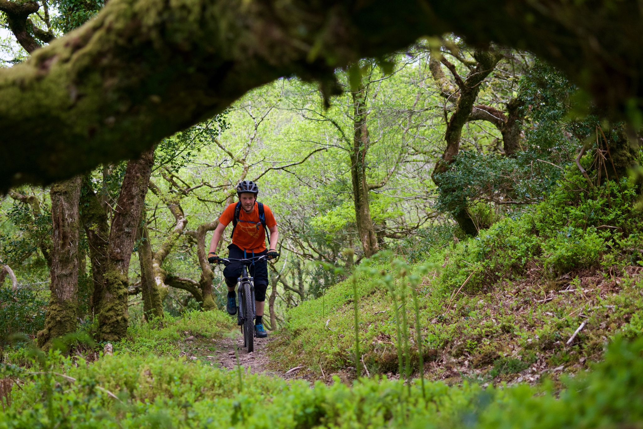
The Quantocks and Exmoor — MTB paradise in the South West
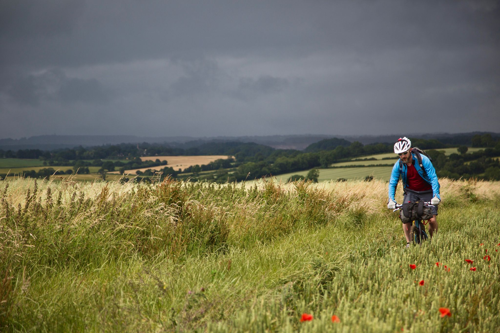
On Britain's green tracks
Hiking around Brendon And Countisbury
Running Trails around Brendon And Countisbury
MTB Trails around Brendon And Countisbury
Road Cycling Routes around Brendon And Countisbury
Cycling around Brendon And Countisbury
Gravel biking around Brendon And Countisbury
Other adventures around Brendon And Countisbury


Tips from the Community

Great Rowbarrow 511.0m P22.9 (1673ft) [List Objective: English sub Dodds] (DoBIH Hill ID: 7793) [JNSA 6632] Exmoor National Park Definitive List summit.
0
0

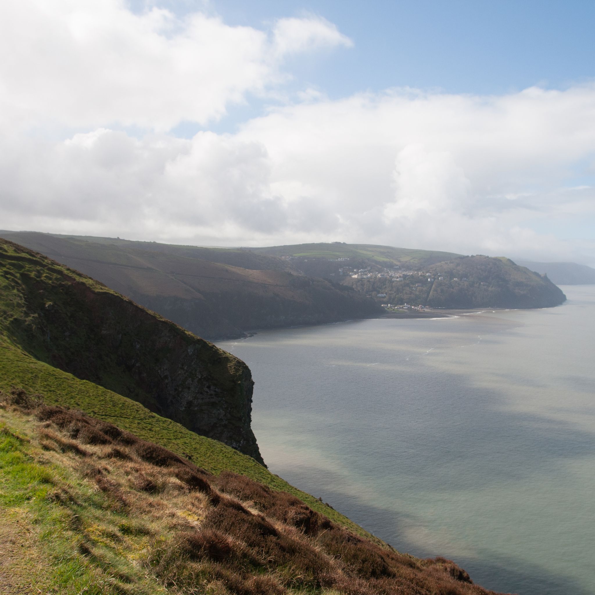
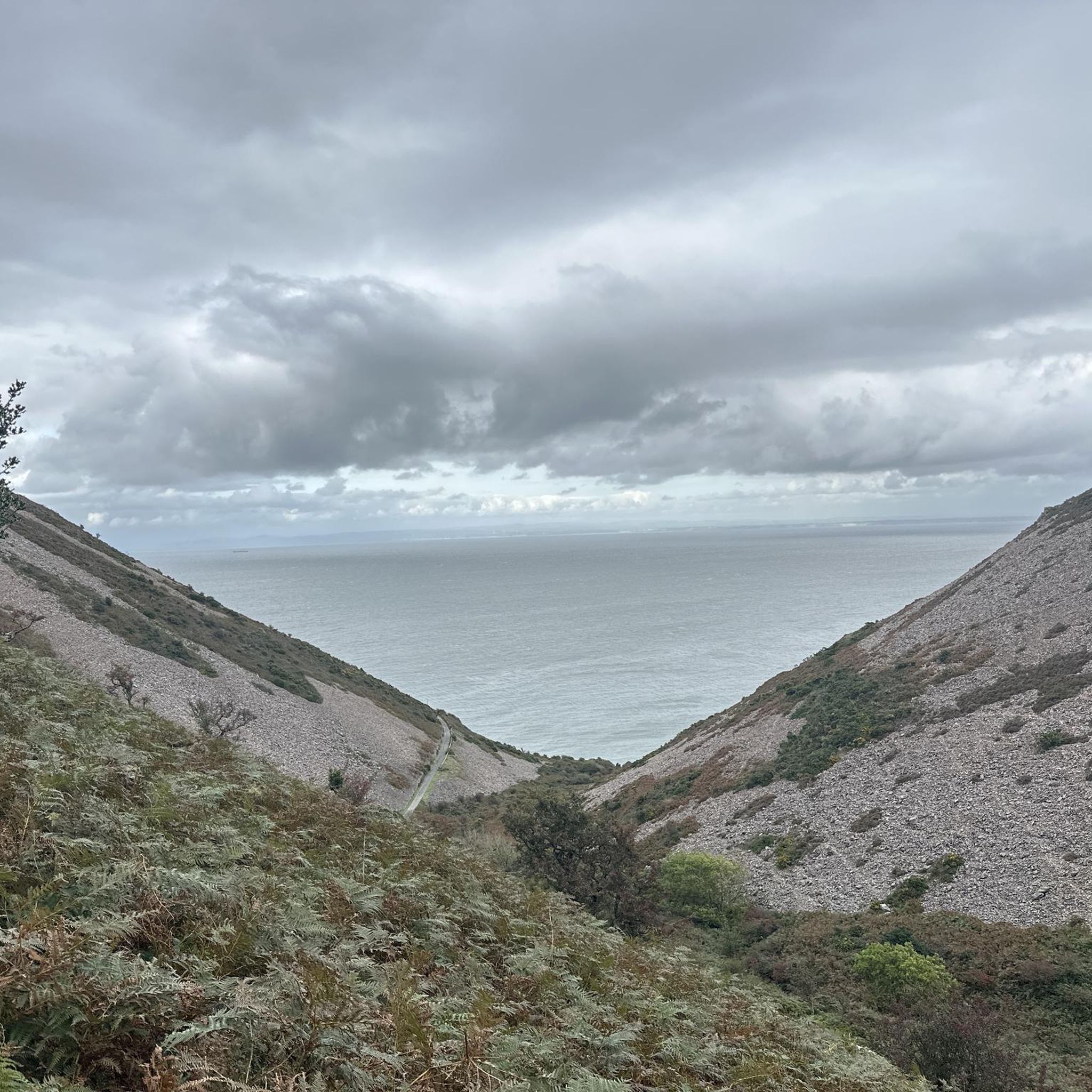
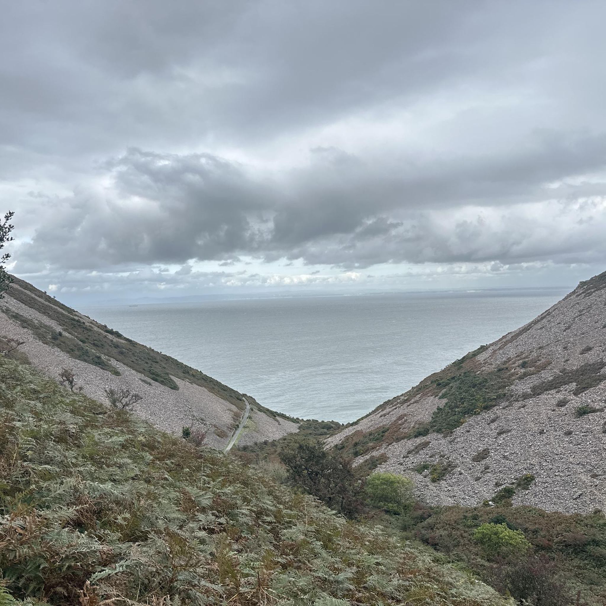
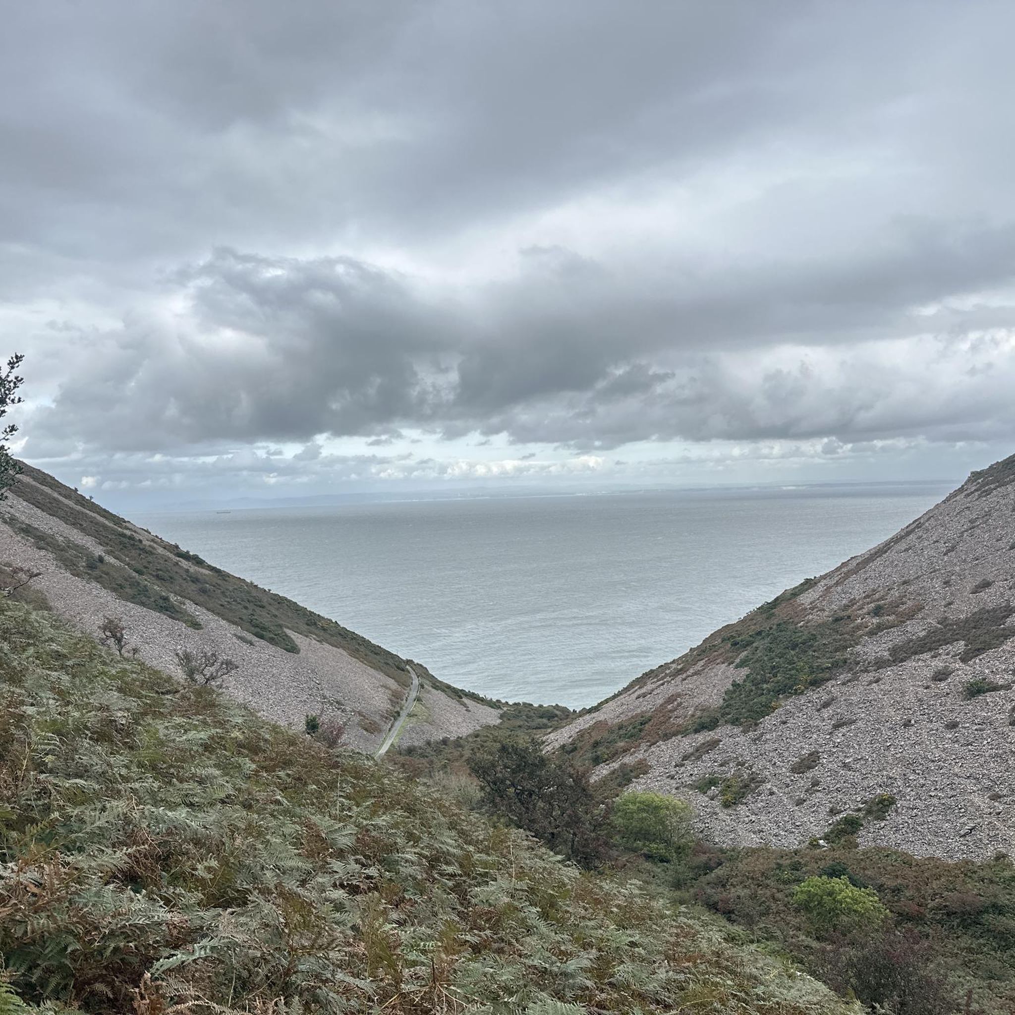
From the Butter Hill trigpoint you are afforded expansive views over the Bristol Channel with deep, wooded valleys stretching down to Lynmouth and the dramatic Exmoor coast meeting the sea.
1
0

Located to the west of the highest point in Exmoor and Somerset, Dunkery Beacon, Great Rowbarrow is a Bronze Age burial cairn measuring 22 meters in diameter and 1.6 meters in height.
0
0
Chains Barrow is only 32 meters lower in elevation than Dunkery Beacon, the highest point on Exmoor. The trig point is surrounded by a fence and is located just above a Bronze Age bowl barrow.
1
0
This Bronze Age burial cairn is located very close to Dunkery Beacon and is quite large. It has a diameter of about 72 feet (22 m), although it is irregular in shape, and stands at just over five feet (1.6 m).
1
0

The Rowbarrow cairns are probably Late Neolithic to Late Bronze Age, or 2400-1500BCE. They are thought to be burial cairns or barrows covering the grave of an important person, family or group.
5
0

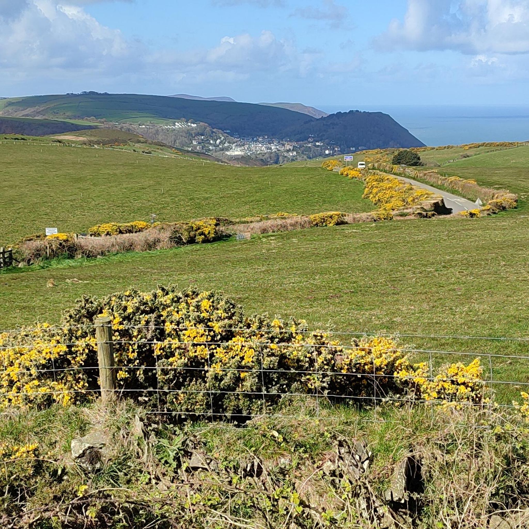
This trig point is only 32m lower than Dunkery Beacon, though with a much less distinctive hilltop. In the far distance, you can see Hartland Point and Lundy. It is enclosed within a fenced off area.
5
0

Moderate trail with amazing views and high elevation , good footwear required
1
1
Frequently Asked Questions
What are some of the most notable mountain peaks and elevated viewpoints in the Brendon and Countisbury area?
The region offers several impressive elevated points. Butter Hill Summit is distinguished as one of England's highest cliffs and the highest point along the South West Coast Path. Another significant spot is Chains Barrow Trig Point, which offers views towards Hartland Point and Lundy. While not directly within Brendon and Countisbury, Dunkery Beacon, the highest point on Exmoor, is also accessible and provides extensive views across Devon and Somerset.
Are there any historical or archaeological sites on these mountain peaks?
Yes, the area has a rich history. For instance, Great Rowbarrow Cairn is a Bronze Age burial cairn located near Dunkery Beacon, dating back to 2400-1500 BCE. Chains Barrow Trig Point is also situated just above a Bronze Age bowl barrow, indicating ancient human activity in these elevated landscapes.
What kind of views can I expect from the mountain peaks around Brendon and Countisbury?
The peaks offer diverse and stunning vistas. From Butter Hill Summit, you can enjoy beautiful views overlooking Lynton and Lynmouth. Hollerday Hill provides spectacular views of the Valley of Rocks and its spellbinding coastal setting. From the Butter Hill Trig Point, you'll see expansive views over the Bristol Channel and deep, wooded valleys stretching down to Lynmouth.
Are there family-friendly options for exploring the elevated areas?
Yes, some viewpoints are suitable for families. For example, View of the Valley of Rocks from Hollerday Hill is categorized as family-friendly, offering rewarding views after a climb. When planning, consider the difficulty ratings of specific routes and highlights to ensure they match your family's capabilities.
What is the best time of year to visit the mountain peaks in this region?
The best time to visit for hiking is generally during the spring, summer, and early autumn months (April to October) when the weather is milder and days are longer. However, some routes, like the climb to Dunkery Beacon, can be exposed and windy, so appropriate preparation is advised regardless of the season. Always check local weather forecasts before heading out.
What outdoor activities can I do near these mountain peaks?
Beyond hiking to the peaks, the area offers various outdoor activities. You can find several cycling routes, including traffic-free bike rides and more challenging cycling tours. There are also easy hiking trails available for a more relaxed experience.
Are there easy hiking routes to reach some of the viewpoints?
While some peaks involve intermediate or challenging climbs, there are easier hiking options in the broader Brendon and Countisbury area. For example, you can find easy hikes that lead to scenic spots, though reaching the very summit of some of the highest peaks may require more effort.
What are the Brendon Hills and are they part of the Exmoor National Park peaks?
The Brendon Hills are a range that merges into the eastern side of Exmoor National Park, with their highest point being Lype Hill at 423 meters (1,388 feet). While not directly within the immediate Brendon and Countisbury villages, they are an important part of the wider Exmoor landscape. They are known for their cultivated terrain and historical ironstone mining, with remains of the West Somerset Mineral Railway. They also form part of long-distance walking routes like the Coleridge Way.
What do visitors enjoy most about the mountain peaks and viewpoints in this area?
Visitors frequently highlight the breathtaking panoramic views, especially across the Bristol Channel and towards the dramatic Exmoor coast. The sense of achievement after a climb and the opportunity to appreciate the natural beauty and historical significance of sites like Bronze Age cairns are also highly valued.
How challenging are the climbs to these mountain peaks?
The difficulty varies. Some highlights like Butter Hill Summit are rated as intermediate, requiring good footwear. The climb to Hollerday Hill for the Valley of Rocks view can be steep but is considered worth the effort. Always check the specific highlight or route details for difficulty ratings before you go.
Most popular routes around Brendon And Countisbury
Most popular attractions around Brendon And Countisbury

Get inspired with the komoot mobile app


Explore more
See even more amazing summits around Brendon And Countisbury with these guides:
