The 6 Most Amazing Peaks around West Crewkerne
Best mountain peaks around West Crewkerne are characterized by rolling hills and historical sites rather than mountainous terrain. This civil parish in Somerset, England, is situated west of the River Parrett, featuring hamlets like Coombe, Woolminstone, and Henley. While the area includes elevated points such as Castle Hill, these are primarily hills with archaeological significance, including Iron Age hillforts. The landscape offers viewpoints and natural monuments, providing insight into the region's history and geography.
Best mountain peaks around West Crewkerne
…Last updated: July 13, 2026
Pilsdon Pen Summit and Trig Point
Highlight • Natural Monument
Tip by

St Michael's Tower on St Michael's Hill
Highlight • Historical Site
Tip by
Sign up now to discover places like this
Get recommendations on the best single tracks, peaks, & plenty of other exciting outdoor places.
Sign up for free
Coney's Castle Hillfort and Bluebell Woods
Highlight • Forest
Tip by

Lambert's Castle Hillfort
Highlight • Viewpoint
Tip by
View of Golden Cap and Thorncombe Beacon
Highlight • Viewpoint
Tip by

Sign up for free to discover even more peaks around West Crewkerne.
Sign up for free
Already have an account?
Start today with a free account
Your next adventure awaits.
Login or Signup

Tips from the Community

From the trig point at Pilsdon Pen summit, you get spectacular, wide-open views across Dorset. Looking south, the eye sweeps over the lush farmlands and rolling hills of the Marshwood Vale, extending all the way down to Bridport and the dramatic cliffs of the Jurassic Coast.
0
0
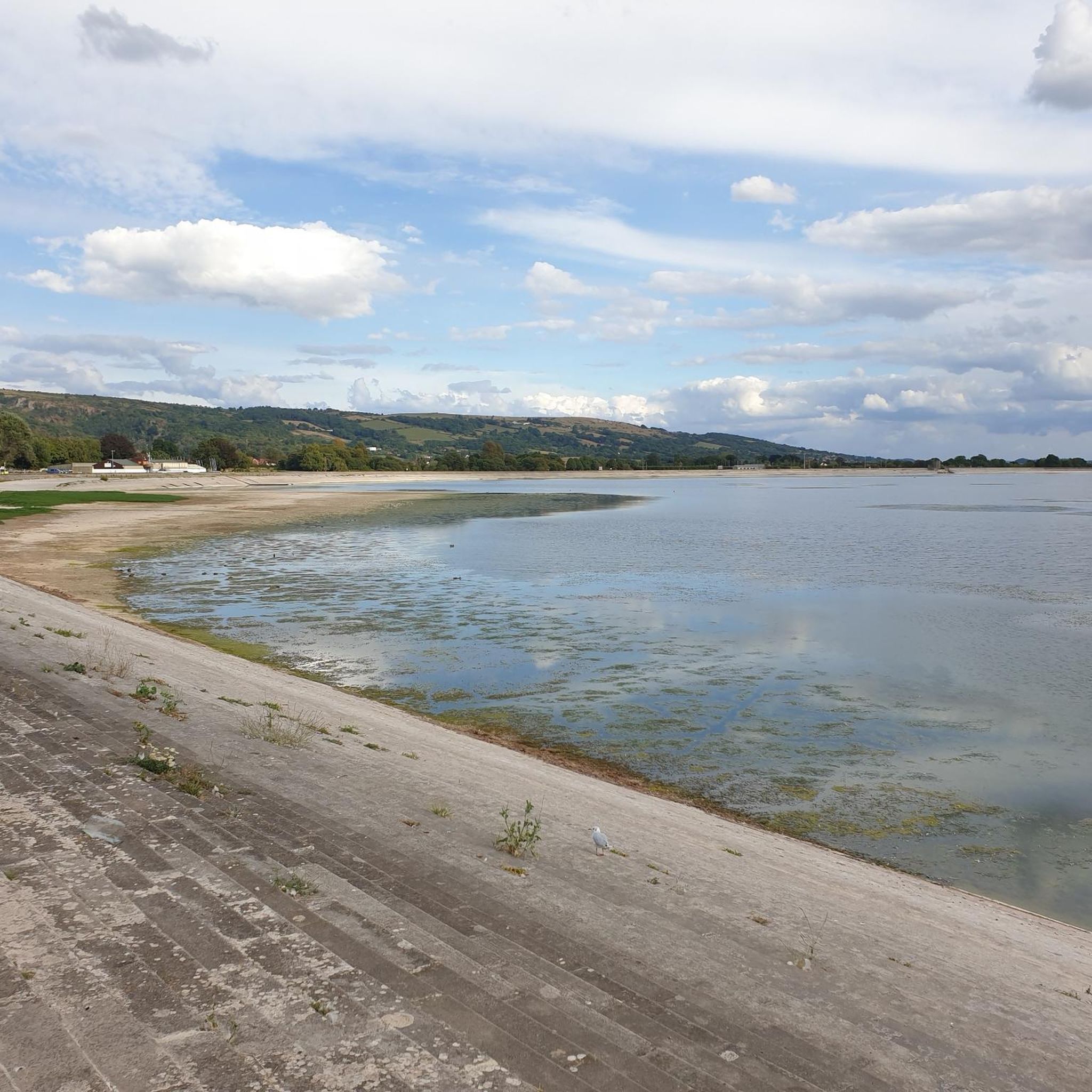
If you’ve hauled yourself up to the ramparts of Lambert’s Castle, congratulations! You are currently standing on an Iron Age "penthouse" with a view that makes most postcards look like blurry thumbprints. Looking south toward the coast, the landscape does a dramatic drop-and-roll toward the English Channel. Here is the lowdown on the two big celebrities you’re staring at: 1. Golden Cap: The Gilded Giant Dominating the horizon is Golden Cap, the highest point on the South Coast of England. The Look: It’s basically a massive, flat-topped wedge of rock that looks like nature tried to bake a giant loaf of bread and then gave it a glowing, golden crust. The Vibe: From Lambert’s Castle, you can see exactly why it got its name. When the sun hits that upper layer of Greensand, it glows like a pirate’s treasure chest. Fun Fact: At 191 meters (627 feet), if you were standing on top of it, you’d be higher than any other cliff-dweller in southern England. From up here on the hill, it looks like the ultimate finish line. 2. Thorncombe Beacon: The Dramatic Sidekick Just to the east of Golden Cap sits its slightly shorter, but equally moody sibling, Thorncombe Beacon. The Look: It’s got that classic "dinosaur spine" silhouette. It’s part of the same rollercoaster of cliffs that makes the Jurassic Coast look like it’s trying to jump into the sea. The Vibe: It feels a bit more "wild and windy." Historically, this was part of a chain of fire beacons used to warn everyone that the Spanish Armada was coming to ruin the weekend. The Perspective: From your vantage point, you can see the deep "V" of the Seatown valley tucked between the two peaks, looking like a perfect little green cradle.
0
0

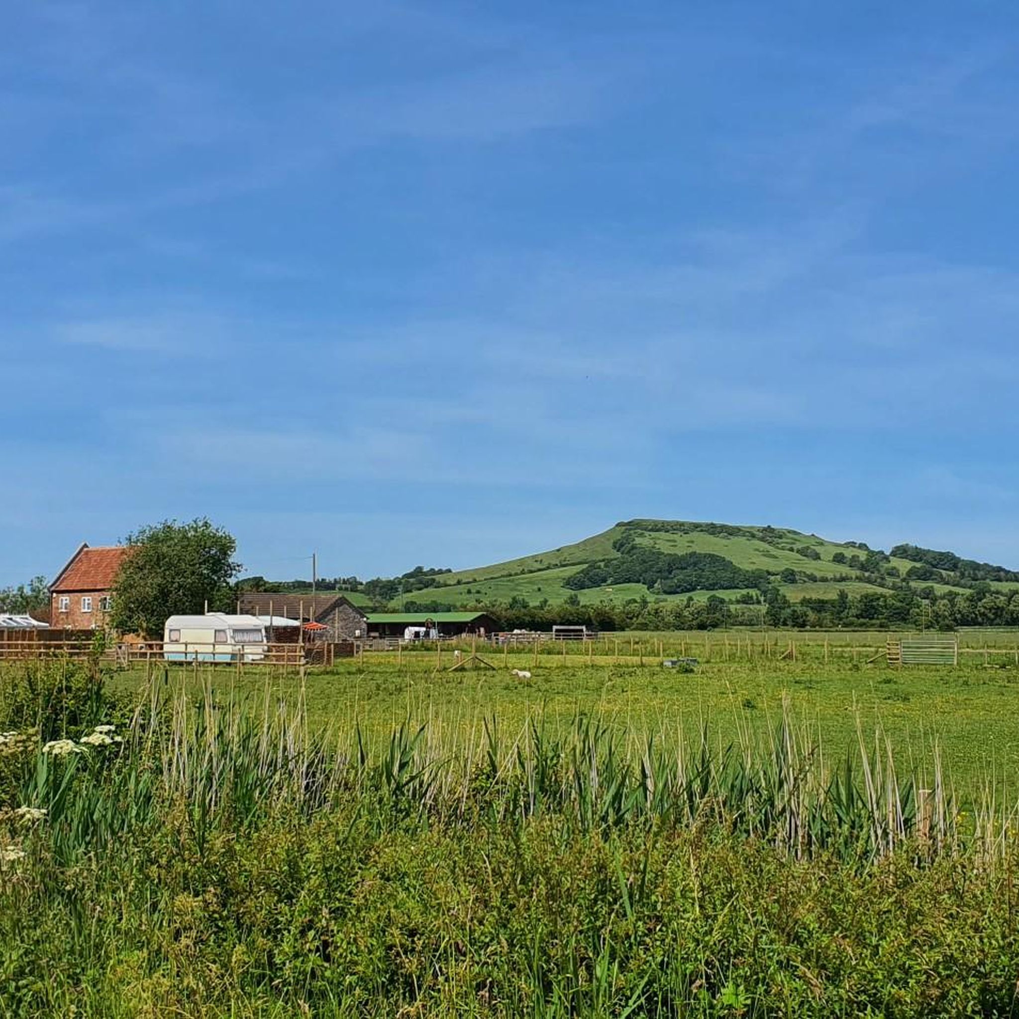
The summit of this hill represents the second highest point in Dorset, and from here, you'll have breathtaking panoramic views. At the top, there was an Iron Age hillfort, which was excavated in the mid-20th century.
0
0

#NT Golden Cap is the highest point on the South Coast
0
0

St Michael's Hill is situated approximately 10-15 minute walk from the road going through Montacute village… There is a tower upon it, which you can access, and climb the spiral stairs to look out across southern Somerset. Worth a visit for the view, even if only once…
1
0

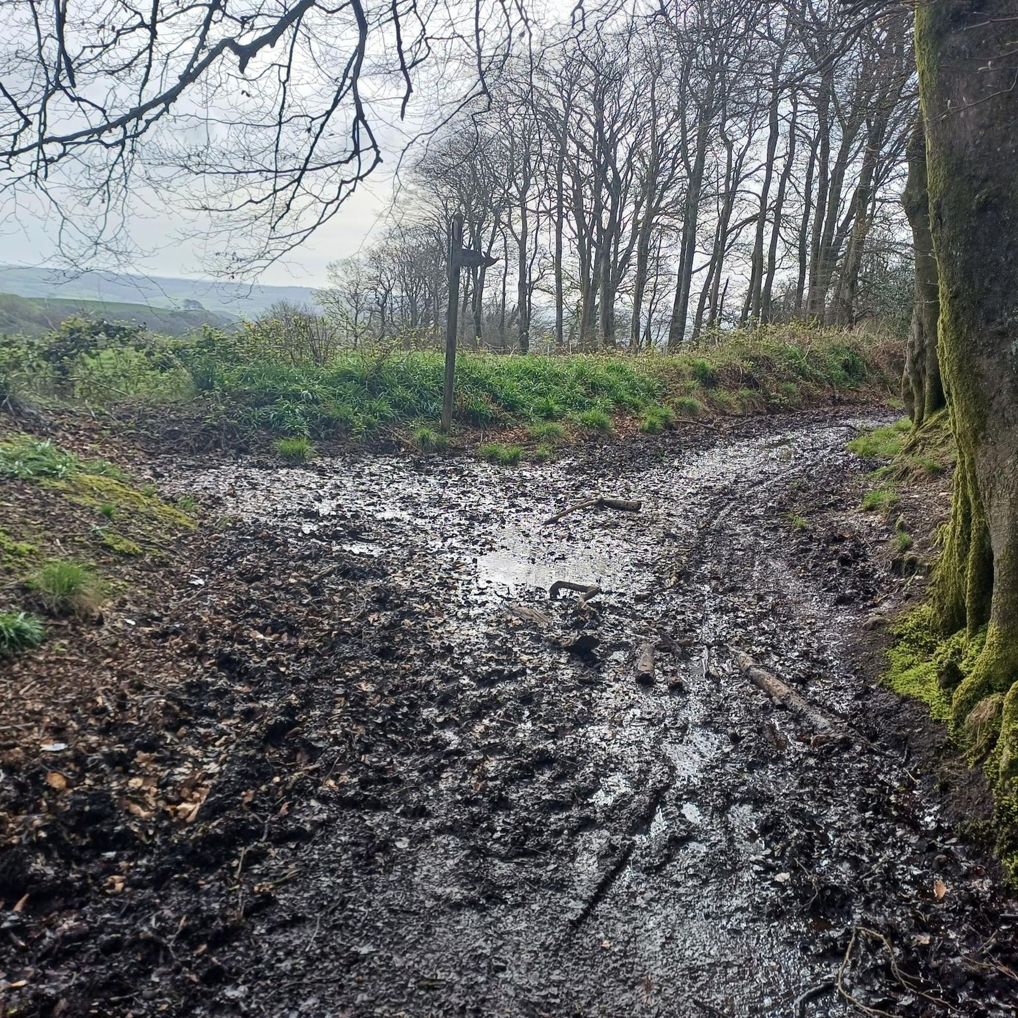
This Iron Age hillfort is the smaller cousin of Lambert’s Castle, a little to the north. With ancient woodland and a fantastic spring bluebell display, Coney’s Castle is a peaceful little summit and one of numerous such hillforts in the area. Check out the earthwork ramparts on the north, south and east sides. The western edge used the natural slope of the hill as a defense. Managed by the National Trust, this hillfort is free to roam around and served by a car park. Its only downside is that there’s a road right through the middle of it.
0
0
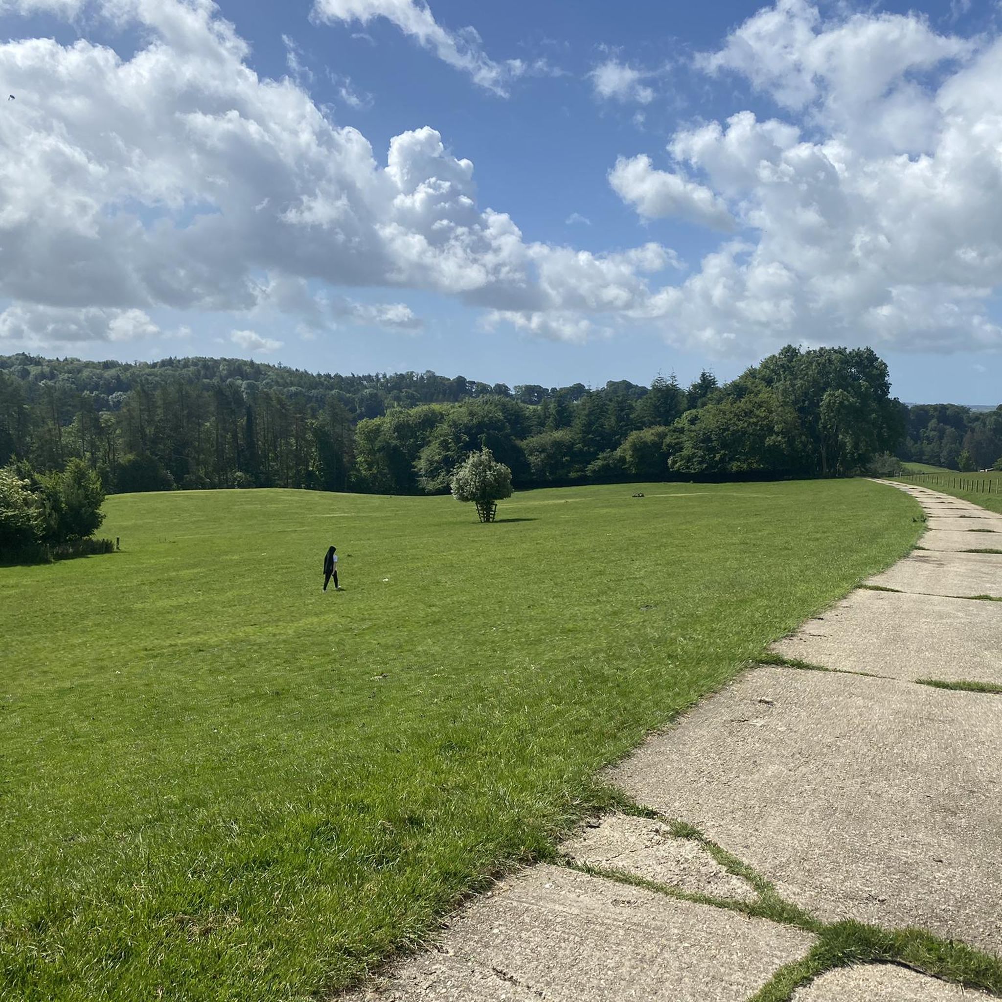
Around 2,500-years-old, this Iron Age hillfort sits at the north end of the appropriately-named Lambert’s Castle Hill. You’ll find evidence of earthworks here and lovely views of the surrounding landscapes, particularly if you explore the entire hill. There’s a trig point to the south of the hillfort, at 840 feet (256 m). Lambert’s Castle is managed by the National Trust and is free to enter. There’s a car park to the south west and the Liberty Trail hiking path runs right through the middle of the fort.
0
0

Pilsdon Pen affords fine views over the rolling Dorset countryside. In clear conditions, you can see Golden Cap, Marshwood Vale, and the ocean to the south, Exmoor and the Quantocks to the west, the Hardy Monument to the east, and the Polesden and Mendip hills to the north. Atop the hill is an Iron Age fort and archaeologists have found flint tools here that date back 10,000 years. The hill is in the care of the National Trust. For more information, visit: https://www.nationaltrust.org.uk/pilsdon-pen.
1
0
Frequently Asked Questions
What are the most popular elevated spots around West Crewkerne?
The area around West Crewkerne features several highly-rated elevated spots. Among the most popular are Pilsdon Pen Summit and Trig Point, known for its panoramic views and Iron Age fort, and View from Lewesdon Hill, which is the highest point in Dorset and offers expansive vistas over multiple counties and the sea.
Are there historical sites to explore on these elevated points?
Yes, many of the elevated points around West Crewkerne are rich in history. Pilsdon Pen Summit and Trig Point features an Iron Age fort with archaeological findings dating back 10,000 years. Similarly, Lewesdon Hill also has remains of an Iron Age hill fort. St Michael's Tower on St Michael's Hill is an 18th-century folly built on the site of a former Norman castle.
What kind of views can I expect from the peaks around West Crewkerne?
The elevated spots around West Crewkerne offer diverse and far-reaching views. From Pilsdon Pen, you can see the rolling Dorset countryside, Golden Cap, Marshwood Vale, the ocean, Exmoor, the Quantocks, the Hardy Monument, and the Polesden and Mendip hills. Lewesdon Hill provides views stretching over Dorset, Devon, Somerset, and out to sea. St Michael's Tower offers breathtaking views over Montacute village and the serene Somerset countryside.
Are there family-friendly walks or activities near these elevated points?
The area's hills and historical sites are generally suitable for families. Many of the sites, such as Coney's Castle Hillfort and Bluebell Woods, offer ancient woodland and open spaces for exploration. The National Trust manages several of these locations, often providing well-maintained paths. For specific hiking routes suitable for families, you can explore the Hiking around West Crewkerne guide, which includes easy and moderate options like the Wayford Woods loops.
What is the best time of year to visit the elevated spots around West Crewkerne?
Spring and autumn are particularly enchanting times to visit. In spring, the woodlands, such as those at Coney's Castle and Lewesdon Hill, erupt with vibrant bluebells. In autumn, the golden leaves and fungi make for a picturesque landscape. Clear days in any season will offer the best panoramic views.
Are there hiking trails near West Crewkerne's elevated points?
Yes, there are several hiking trails in the vicinity. For example, the Liberty Trail hiking path runs right through the middle of Lambert's Castle Hillfort. You can find a variety of routes, including moderate options like the 'Thorncombe and Forde Abbey loop from Winsham' or easier walks such as the 'Wayford Woods – Magdalen Farm loop from Wayford'. More details are available in the Hiking around West Crewkerne guide.
What outdoor activities, besides hiking, can I do near these elevated points?
Beyond hiking, the West Crewkerne area is excellent for cycling. You can find numerous routes for both road cycling and touring bicycles. Options range from moderate rides like the 'Sutton Bingham Reservoir loop' to more challenging ones such as the 'Bridport & Lyme Regis loop'. Explore these routes in the Road Cycling Routes around West Crewkerne and Cycling around West Crewkerne guides.
Is parking available at these locations?
Yes, parking is available at some of the key sites. For instance, Coney's Castle Hillfort is served by a car park. Lambert's Castle Hillfort also has a car park to its southwest. For other locations, roadside parking or nearby village parking may be available, often requiring a short walk to the summit.
Are dogs allowed on the trails and at the elevated sites?
Many of the elevated sites and trails in the West Crewkerne area, especially those managed by the National Trust like Pilsdon Pen, Coney's Castle, and Lewesdon Hill, are dog-friendly. It is generally recommended to keep dogs on a lead, particularly around livestock or during nesting seasons, and to follow the Countryside Code.
What is the difficulty level of the walks to these elevated points?
Most walks to these elevated points are considered intermediate in difficulty, involving some uphill sections but generally on well-trodden paths. For example, the ascent to St Michael's Tower is approximately a 10-15 minute walk from the road. While they offer elevation, they are not mountain climbing and do not typically require specialized equipment.
What makes <a href="https://www.komoot.com/highlight/2869557" target="_blank" rel="noopener">Coney's Castle Hillfort</a> a unique place to visit?
Coney's Castle Hillfort is a smaller Iron Age hillfort known for its ancient woodland and spectacular spring bluebell displays. It offers a peaceful summit experience with visible earthwork ramparts on its north, south, and east sides, utilizing the natural slope for defense on the western edge. It's managed by the National Trust and is free to explore.
Are there any hidden gems among the elevated spots in West Crewkerne?
While not strictly 'hidden,' Lambert's Castle Hillfort offers a rewarding experience for those looking to explore a less crowded Iron Age site. At 2,500 years old, it features impressive earthworks and lovely views of the surrounding landscapes, particularly from its trig point at 840 feet (256 m). It's also managed by the National Trust and has the Liberty Trail running through it.
Most popular attractions around West Crewkerne

Get inspired with the komoot mobile app


Explore more
See even more amazing summits around West Crewkerne with these guides:
