Top 4 Gorges in Wutachflühen
Best canyons in Wutachflühen are part of the larger Wutach Gorge system, a significant natural reserve in Germany. This region features unique geological formations, including a 3-kilometer-long rock wall up to 85 meters high. The area is characterized by deeply incised river sections, forested valley slopes, and numerous rock formations. It offers insights into earth's history through sloping rock layers, karst formations, and fossils.
Best canyons in Wutachflühen
- The most popular canyons is Wutachflühen Gorge, a gorge known for…
Last updated: July 8, 2026
Wutachflühen Gorge
Highlight • Gorge
Translated by Google •
Tip by

Wutachflühen Viewpoint
Highlight • Viewpoint
The viewpoints here are sufficiently secured, but there is a slight dizziness.
Translated by Google •
Tip by
Sign up now to discover places like this
Get recommendations on the best single tracks, peaks, & plenty of other exciting outdoor places.
Sign up for free
Hohle Gasse (Narrow Rocky Pathway)
Highlight • Gorge
Translated by Google •
Tip by

Sackpfeiferdobel Waterfall
Highlight • Waterfall
Translated by Google •
Tip by

Wutachflühen Cliffs
Highlight (Segment) • Gorge
Showing Translation
Tip by

Sign up for free to discover even more gorges in Wutachflühen.
Sign up for free
Already have an account?
Start today with a free account
Your next adventure awaits.
Login or Signup
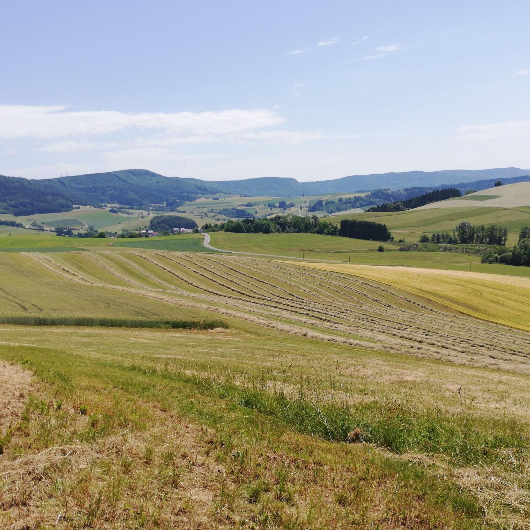
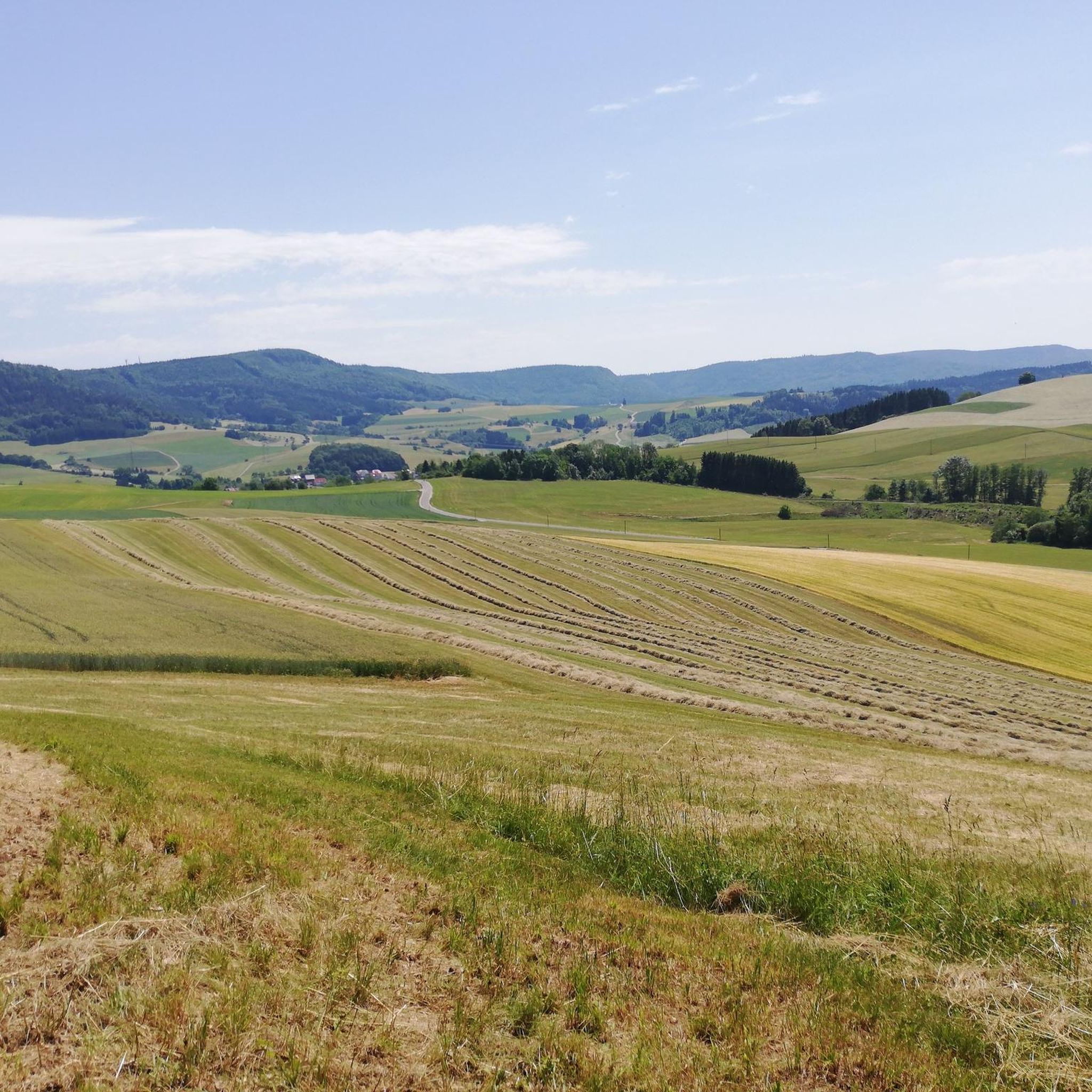
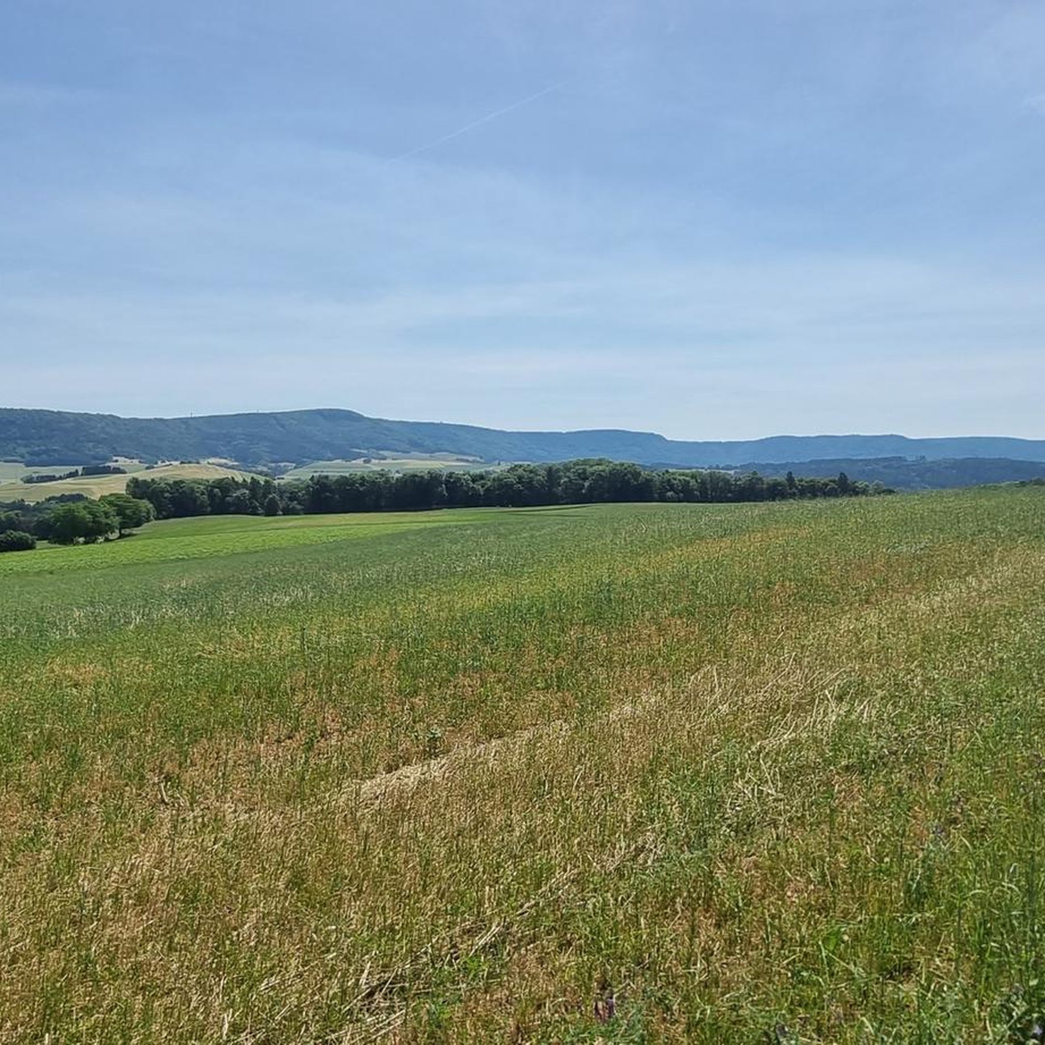
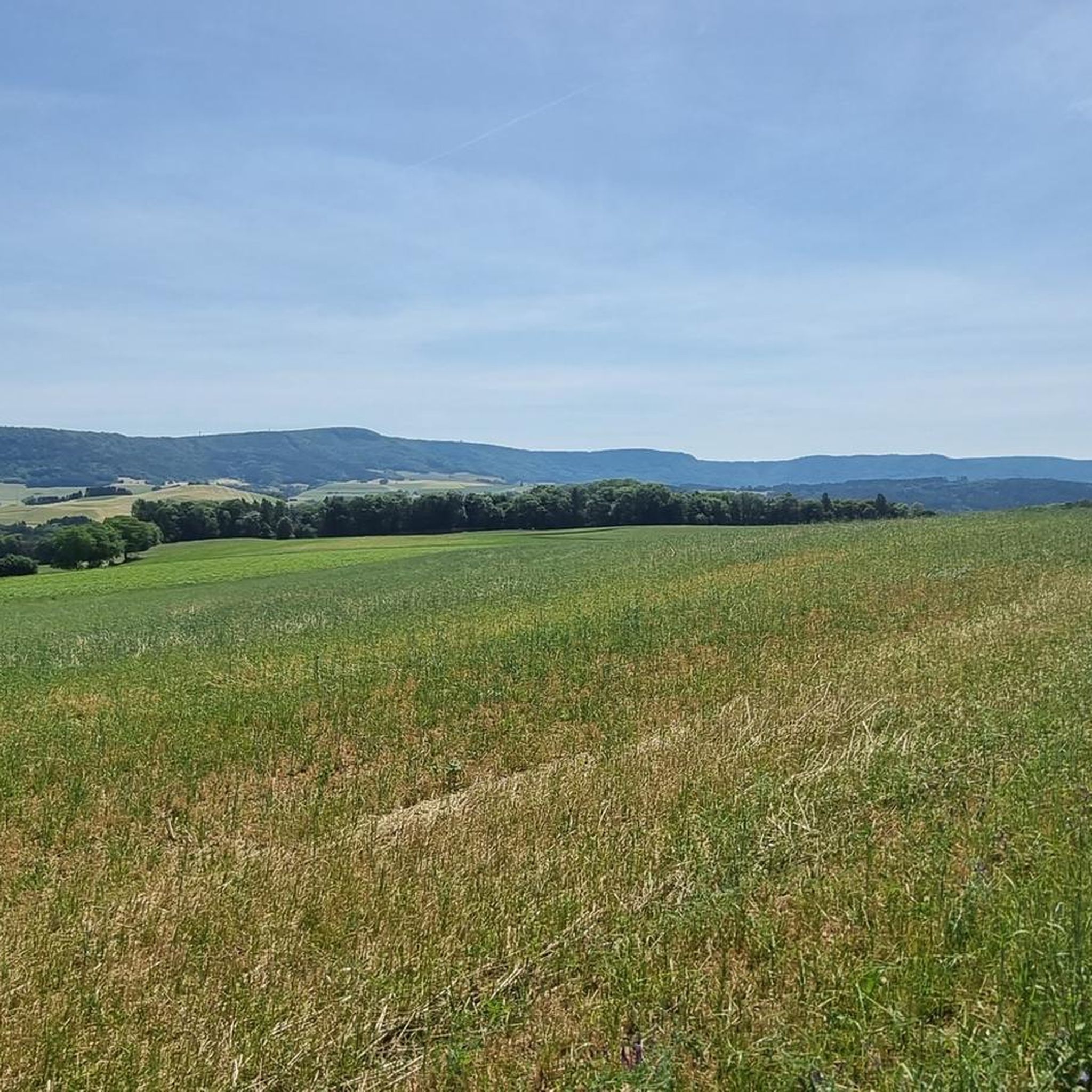

Tips from the Community

Great sure-footedness, freedom from vertigo, time, good sturdy footwear, hiking poles, sufficient water are basic requirements for walking the Wutachflühen. Very narrow, partly exposed paths in jungle-like terrain 😍. Super beautiful but not to be underestimated. The stones and roots are partly very slippery even in dry weather, as it is quite humid there, especially at high temperatures, and there is a lot of moss everywhere.
0
0

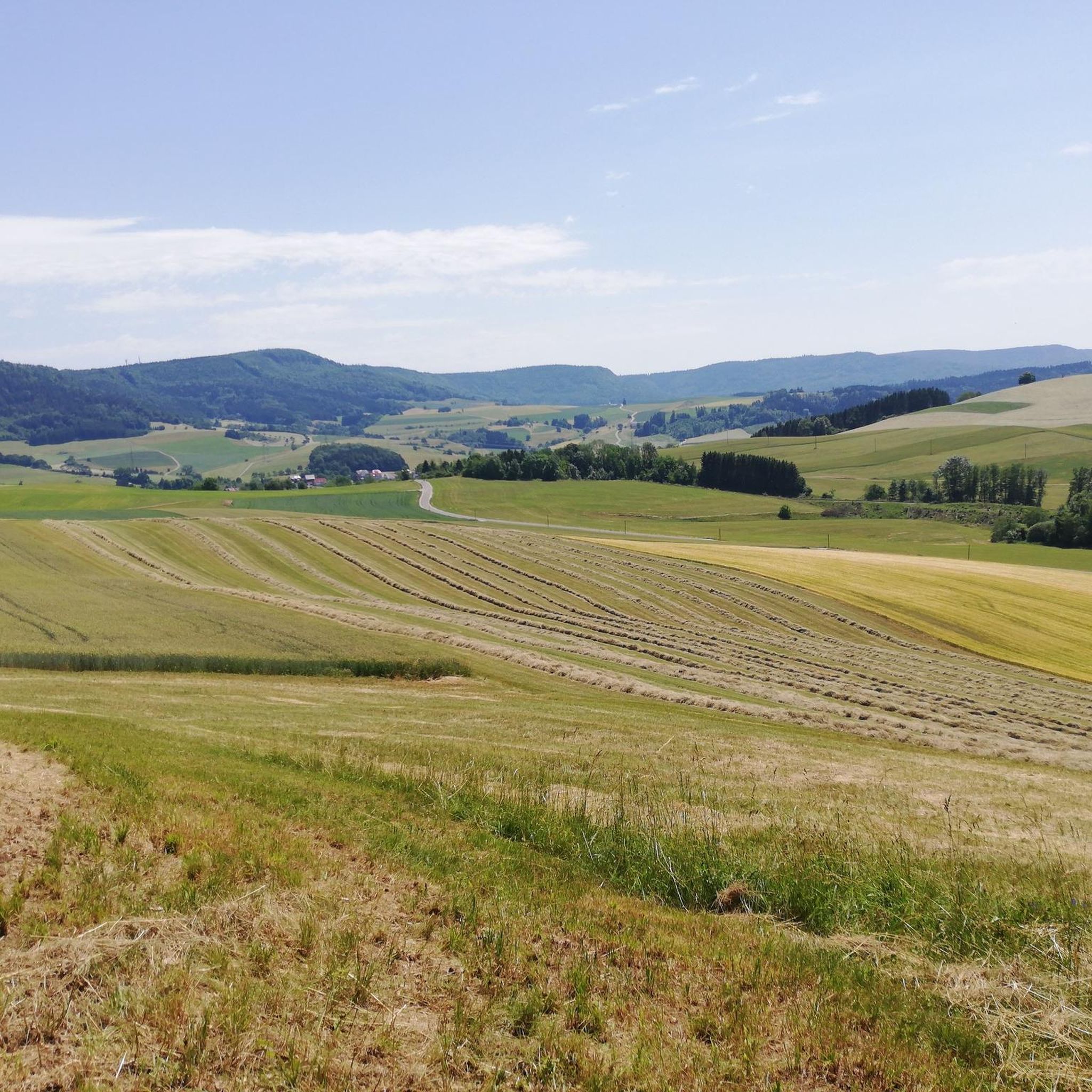
The Wutachflühen form the spectacular lower section of the Wutach Gorge between Achdorf and Grimmelshofen. For around 3.5 kilometers, a narrow path leads through steep forest slopes and along mighty rock faces high above the river. Sure-footedness and a head for heights are essential here, as the path sometimes runs directly along the precipice. Especially after rain, the narrow paths can become slippery, while fallen trees or rockfalls require additional attention. However, the effort is rewarded with an impressive natural landscape. Time and again, views open up onto the deeply incised gorge and the wild-flowing Wutach. Together with the striking limestone rocks and the primeval forest-like sections, the Wutachflühen are among the most beautiful and varied hiking areas in the southern Black Forest.
4
0

Magnificent view of the lower greenery and high up on the rock
5
0
Currently, unfortunately, the amount of water is rather limited
7
0
Fantastic single trail... a feast for the connoisseur of narrow trails
7
0
A real cracker path... narrow and enchanted
5
0

Not a drop falls today at this waterfall
3
0

Unfortunately, you don't see water after a long drought
1
0
Frequently Asked Questions
What makes the Wutachflühen canyons unique?
The Wutachflühen canyons are often called the 'Grand Canyon of the Black Forest' due to their dramatic geological formations. This area features a 3-kilometer-long, up to 85-meter-high rock wall, which is the largest outcropping of Upper Muschelkalk in Germany. You'll find deeply incised river sections, unique rock formations like the Lunzistein, and a rich biodiversity, creating a 'primeval forest' experience.
What are the best times to visit the Wutachflühen canyons?
The best time to visit is generally from spring to autumn. The hiking season in the Wutachflühen runs from the blossoming of spring snowflakes to the vibrant autumn colors of the ravine forest. Winter visits are generally advised against for safety reasons due to potentially hazardous conditions on the trails.
Are there challenging hiking trails in the Wutachflühen canyons?
Yes, many trails in the Wutachflühen are considered challenging. For example, the area around the Wutachflühen Gorge features partly exposed, narrow paths that require good surefootedness. The Sackpfeiferdobel Waterfall is also located within a challenging gorge section, where sturdy shoes are essential. The Schluchtensteig trail, which passes through the area, is known for its exposed paths and steep rock gorges.
What kind of natural features can I expect to see in the Wutachflühen canyons?
You can expect spectacular scenery including towering rock formations, giant ferns, moss-covered stones, and gnarled roots. The area is a geologist's delight, offering insights into earth's history through sloping rock layers, karst formations, sinkholes, and fossils. You'll also find waterfalls, such as the Sackpfeiferdobel Waterfall, and unique rock crevices like the one on the Felsenweg at Wutachflühen.
Are there family-friendly hiking options in the Wutachflühen canyons?
While many sections of the Wutachflühen are challenging and require surefootedness, some parts might be suitable for families with older children who are experienced hikers. However, extreme caution is advised with small children, especially on paths with crevices and caves like the Rock crevice on the Felsenweg. It's best to research specific routes for their suitability for younger children.
What wildlife and flora can be found in the Wutachflühen gorge system?
The Wutachflühen and the broader Wutach Gorge system are a haven for biodiversity. It's an 'eldorado' for botanists, hosting 1,200 of the 2,500 plant species found in Central Europe, including rarities like hart's tongue and Turk's cap lily. The area is also home to over 500 species of butterflies, such as the rare Apollo butterfly, and hundreds of bird species including the honey buzzard, goosander, and kingfisher.
What outdoor activities can I do near the Wutachflühen canyons?
Beyond exploring the canyons themselves, the region offers diverse outdoor activities. You can find numerous waterfall hikes, MTB trails, and running trails. Popular hiking routes include the Wutachflühen Viewpoint – Wutachflühen Gorge loop, and for mountain biking, trails like the Roggenbach Castle Ruins loop are available.
How long does it typically take to hike the Wutach Gorge system?
The wider Wutach Gorge system, which includes the Wutachflühen, can be hiked from west to east and typically takes about two days to complete. Shorter, individual loops and sections within the Wutachflühen area, such as the Wutachflühen Viewpoint – Wutachflühen Gorge loop, can be done in a single day, often taking several hours depending on the route and your pace.
What do visitors enjoy most about the Wutachflühen canyons?
Visitors frequently praise the spectacular scenery and the 'primeval forest' atmosphere. Many appreciate the challenging and narrow paths that wind through towering rock formations and dense forests, offering a unique adventure. The geological significance and rich biodiversity also draw many nature enthusiasts, with the area being highly rated by the komoot community for its natural beauty.
Are there any viewpoints offering panoramic views of the Wutachflühen?
Yes, there are several excellent viewpoints. One notable spot is the View of the Wutachflühen, which offers a nice perspective down into the gorge. These viewpoints provide opportunities to appreciate the dramatic scale of the rock walls and the surrounding forested landscape.
What is the Gauchach Gorge, and how does it relate to the Wutachflühen?
The Gauchach Gorge is a significant side gorge within the larger Wutach Gorge system, which also encompasses the Wutachflühen. It's known for its narrowness and a cascade-like streambed, offering a more 'original' and 'jungle-like' experience where hikers often walk very close to the water. The Engeschlucht, another rugged ravine, joins the Gauchach Gorge roughly in its middle.
Most popular routes in Wutachflühen
Most popular attractions in Wutachflühen

Get inspired with the komoot mobile app


Explore more
Already discovered everything in this region? See additional gorges in Wutachflühen for your next adventure:
