Top 3 Caves around Grafenau
Caves around Grafenau are found within the Bavarian Forest, an area characterized by its geological formations and dense woodlands. The region features various underground formations, including natural rock tunnels, geological sites, and historical underground systems. These sites offer insights into the area's geological dynamics and past human activity. Visitors can explore formations resulting from weathering processes and man-made structures.
Best caves around Grafenau
- The most popular caves is Buchberger Leite Rock Tunnel, a cave that is a rock breakthrough…
Last updated: July 9, 2026
Buchberger Leite Rock Tunnel
Highlight • Cave
Translated by Google •
Tip by

Little stone chapel
Highlight • Natural Monument
Translated by Google •
Tip by

Sign up now to discover places like this
Get recommendations on the best single tracks, peaks, & plenty of other exciting outdoor places.
Sign up for free
Diebstein
Highlight • Natural Monument
Translated by Google •
Tip by

Quartz Cave
Highlight • Cave
Translated by Google •
Tip by

Stone Forest Shrine
Highlight • Religious Site
Translated by Google •
Tip by

Start today with a free account
Your next adventure awaits.
Login or Signup
Popular around Grafenau
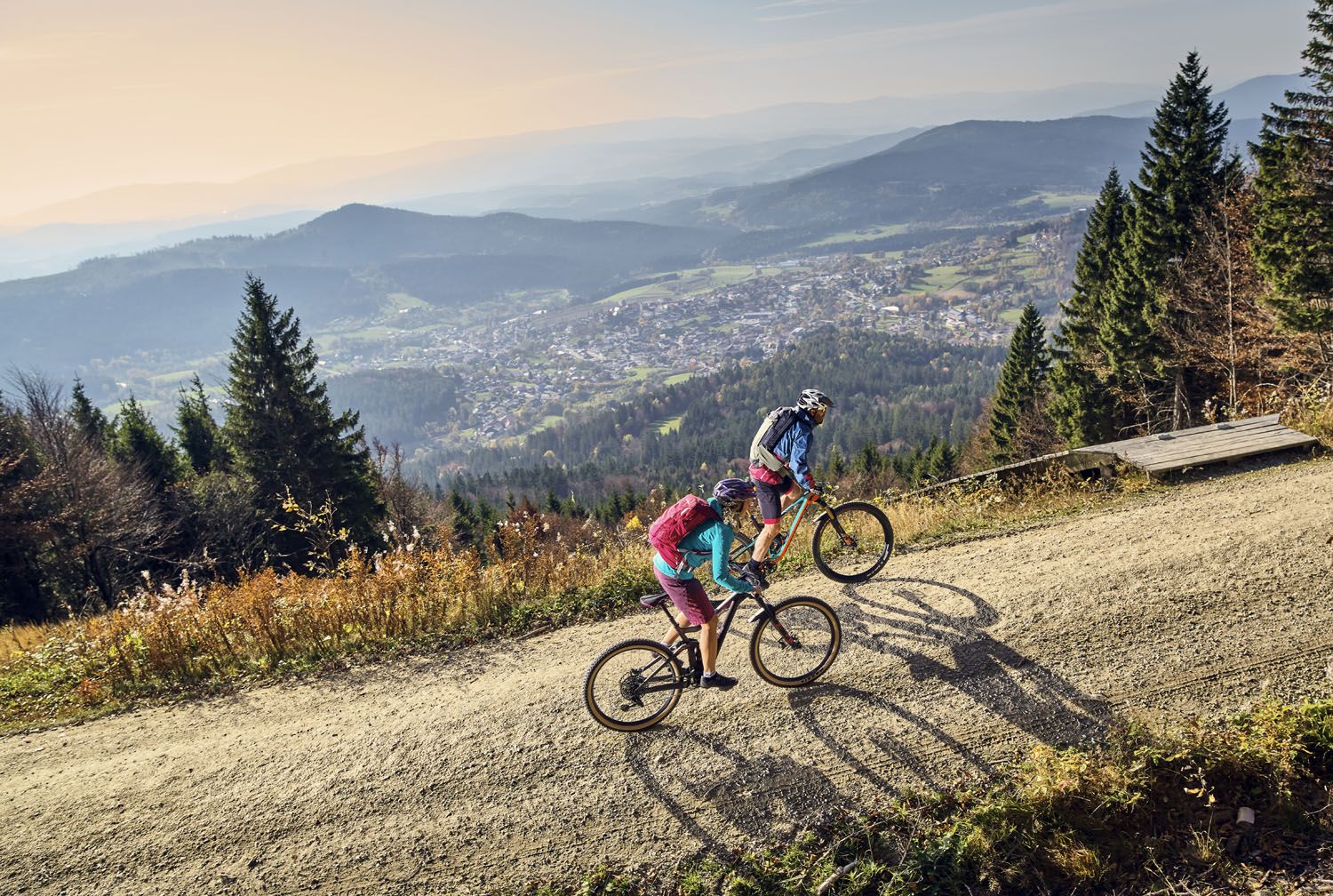
Exciting cycle and (e)-mountain bike Tours in the Bavarian Forest
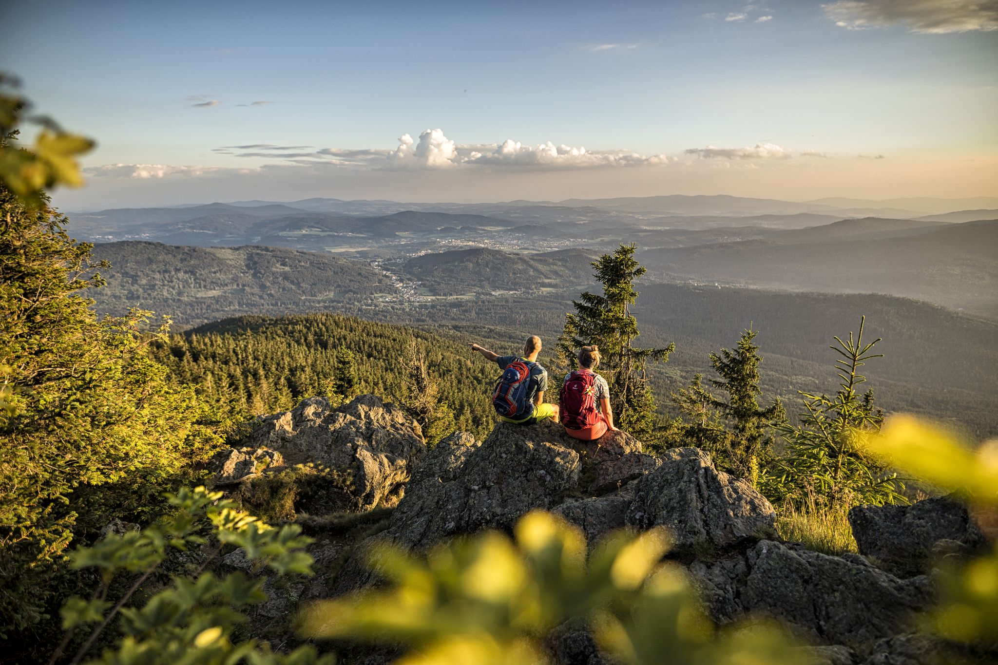
Hiking tips for the Bavarian Forest
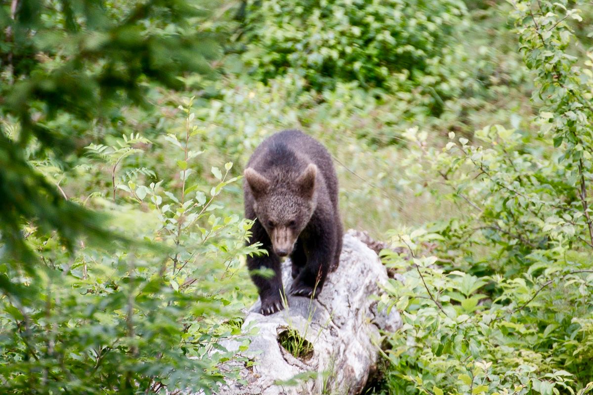
Following animal traces in the Bavarian Forest
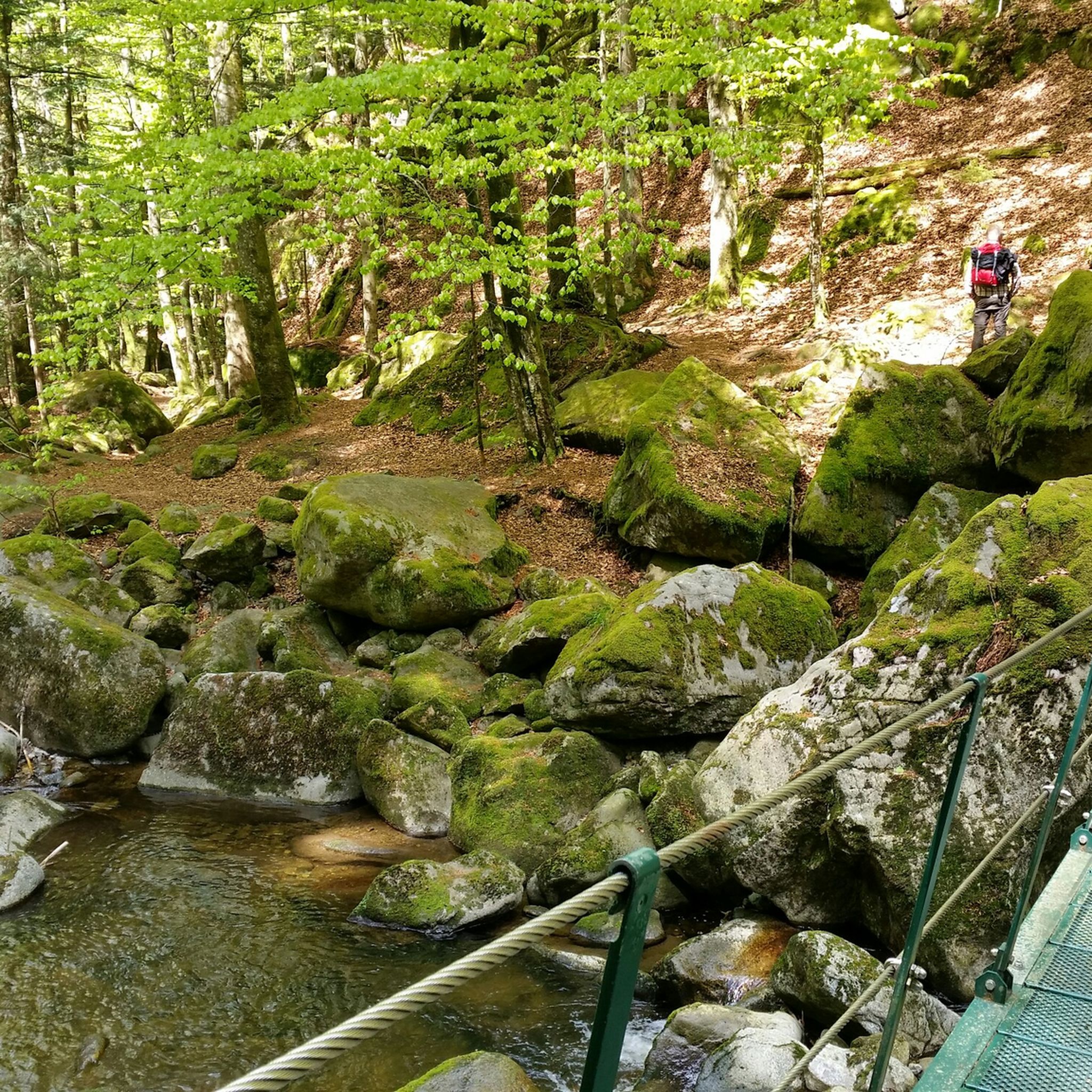
Hiking around Grafenau
Cycling around Grafenau
MTB Trails around Grafenau
Road Cycling Routes around Grafenau
Running Trails around Grafenau
Gravel biking around Grafenau

Mountain Hikes around Grafenau


Tips from the Community

Geological observation Numerous rock outcrops with strong "Wollsack" weathering can be found in the entire area. During the Tertiary period, the rock was deeply weathered. Only in the area of more compact granite domes could the weathering not progress so quickly. During the Quaternary period, the weathered layers were eroded. Only the intact rock areas remained. The rock ensemble of rounded granite blocks near the "Steinernes Kirchlein" forms small hollows, niches, and rock passages. Bavarian State Office for the Environment (LfU). https://www.umweltatlas.bayern.de/standortauskunft/rest/reporting/sb_geotope/generate?additionallayerfieldvalue=272R028
0
0
The quartz cave is located on the northern edge of the Pfahl ridge at Thomasleite. It is part of the geotope. The outcrop is accessible via the field path from Kapfham, at the end of which is a hiking parking area. The rock ridge runs approximately east-west. In the east, the rocks consist almost entirely of gray to beige-gray quartz vein breccia of the Bavarian Pfahl, which, despite its closely spaced jointing, is quite compact due to secondary silicification. In the west, the rock ridge consists predominantly of ultramylonite, which is strongly silicified and interspersed with sharply defined quartz veins. The outcrop is bordered to the north by Pfahl schists, and on the southeast edge, there is evidence of old mining in the ultramylonite (whetstone?). A small quarry ("quartz quarry") is located on the signposted historical hiking trail of the municipality of Ringelai. Bavarian State Office for the Environment (LfU). https://www.umweltatlas.bayern.de/standortauskunft/rest/reporting/sb_geotope/generate?additionallayerfieldvalue=272R022
0
0

Hidden in the dense greenery of the Bavarian Forest lies the Diebstein Cave, a fascinating natural phenomenon and a place that has captured the imagination for centuries. Formed by so-called "semi-finished weathering," the cave offers a striking insight into the geological dynamics of the region: The rock is less resistant in deeper layers and weathers more quickly – this is how the cave-like cavities, which can now be explored with a flashlight, were formed. The name "Diebstein Cave" is not accidental. In the past, it was considered sinister by the local population, a refuge for poachers and cattle rustlers, who hid their loot here and allegedly even slaughtered it. Legend has it that they hung the meat on nails inside the cave. Traces of this were reportedly visible until the 1930s. The cave is part of a popular hiking trail around Saldenburg and Thurmansbang. The route leads through tranquil forests, past rock formations and small chapels, an experience for nature lovers, history buffs, and anyone seeking the unassuming and unspoiled. The Diebstein Cave is not a tourist hotspot with a signage system and souvenir shop, but a powerful place whose silence and isolation touch the soul. https://www.ostbayern-tourismus.de/attraktionen/diebsteinhoehle-462b9fbdc5
2
0


The Stone Church is a rock formation. The weathered rocks form towers, crevices and caves. An iron cross is attached to one such cave. Hence the name Stone Church.
1
0


It's worth a small deviation from the path. But once you see it, it's just a small cave
0
0
Frequently Asked Questions
What kind of caves can I explore around Grafenau?
The Grafenau region offers a mix of natural geological formations and historical underground systems. You'll find natural rock tunnels, unique boulder fields, and even man-made historical tunnels. These range from accessible rock passages to mysterious natural cavities and historical sites.
Are there any historical caves or underground sites to visit near Grafenau?
Yes, the region has significant historical sites. The Buchberger Leite Rock Tunnel is a rock breakthrough from WWII, part of a hiking trail along the Wolfsteiner Ohe River, with castle ruins above. Further afield, the Grafenloch (Luegsteinhöhle) near Oberaudorf is a cliff-face cave that once housed a knightly cave castle from the 10th to 13th centuries. Additionally, mysterious man-made underground tunnel systems called Erdställe, dating back around 1,000 years, have been found in the broader region, offering a glimpse into medieval underground structures.
What are some unique natural geological features to see?
Beyond traditional caves, you can explore fascinating geological formations. The Diebstein is a natural monument with cave-like cavities formed by semi-finished weathering. The Teufelsloch (Devil's Hole) in the Freyung-Grafenau district is a granite boulder field with an underground stream, creating a mystical atmosphere. The Little stone chapel features impressive stone formations where a small altar is accessible between rocks.
Are there family-friendly caves or trails near Grafenau?
Many of the natural sites around Grafenau are integrated into hiking trails, making them suitable for families. The Stone Forest Shrine, a beautifully landscaped grotto, is categorized as family-friendly. While some sites like the Buchberger Leite Rock Tunnel are part of intermediate to challenging trails, the tunnel itself is an accessible rock passage. Always check the specific trail difficulty for each site.
What outdoor activities can I do near these caves?
The caves and geological sites are often integrated into the region's extensive trail network. You can enjoy various outdoor activities, including hiking and running. For example, the Buchberger Leite Rock Tunnel is part of a hiking trail along the Wolfsteiner Ohe River. You can find numerous hiking routes in the area, such as those listed in the Hiking around Grafenau guide, or explore running trails in the Running Trails around Grafenau guide.
What is the best time to visit the caves and geological sites around Grafenau?
The best time to visit is generally during the warmer months, from spring to autumn, when hiking conditions are most favorable. Many sites are part of outdoor trails, and good weather enhances the experience. While some sites might be accessible in winter, specific access conditions and trail maintenance should be checked, as some paths can become challenging with snow or ice.
What should I wear or bring when visiting these sites?
Since many sites are part of hiking trails, wear comfortable hiking shoes suitable for varied terrain. Layers of clothing are advisable, as temperatures can vary. For sites like the unlit Buchberger Leite Rock Tunnel, a flashlight is useful, though not always strictly necessary. For the Grafenloch, be prepared for a climb assisted by a rope and metal stairs.
Are there any caves that are particularly short or easy to access?
Yes, the Quartz Cave is noted as a very short cave, approximately 1-2 meters deep, making it a quick and easy stop. The Little stone chapel, while requiring a bit of searching to find the entrance, involves slipping through rocks to access a small altar, which is a unique and relatively easy experience once found.
What do visitors enjoy most about the caves and natural sites in Grafenau?
Visitors frequently appreciate the natural beauty and tranquility of the region. The Diebstein is described as a powerful place whose silence and isolation touch the soul. The Buchberger Leite Rock Tunnel offers an adventurous stretch of hiking trail and great nature. The scenic views, especially from sites like Grafenloch, and the mystical atmosphere of places like Teufelsloch, are also highly valued.
Is parking available near the cave sites?
Parking availability varies by site. For the Buchberger Leite Rock Tunnel, there is a small hiking parking area near the carbide works on the south side. For other sites, parking is typically available at trailheads or nearby villages, as many of these features are accessed via hiking routes.
Can I bring my dog to the trails leading to these caves?
Many hiking trails in the Bavarian Forest are dog-friendly. However, specific rules may apply to certain natural monuments or protected areas. It's generally advisable to keep dogs on a leash, especially in areas with wildlife or other hikers. For sites involving narrow passages or climbs, such as the Grafenloch or Erdställe, it might not be suitable for dogs.
Most popular routes around Grafenau
Most popular attractions around Grafenau

Get inspired with the komoot mobile app


Explore more
Extend your search for the best caves by checking out these guides of the top ones around Grafenau:
