Top 8 Gorges around Holzkirchen
Best canyons around Holzkirchen are characterized by impressive gorges and ravines, locally known as "Klamm" or "Schlucht." This Bavarian region, shaped by ancient glaciers and flowing water, offers unique hiking experiences. These geological formations feature towering rock walls, waterfalls, and lush vegetation, providing dramatic natural beauty.
Best canyons around Holzkirchen
- The most popular canyons is Ellbach and Kirchsee Moor, an other natural area featuring a deep gorge formed by glacial meltwater. This location offers a highly recommended hike around…
Last updated: August 19, 2026
Schlocker Grotto (Aying)
Highlight • Religious Site
Translated by Google •
Tip by

Reichertshauserer Valley
Highlight (Segment) • Gorge
Translated by Google •
Tip by

Sign up now to discover places like this
Get recommendations on the best single tracks, peaks, & plenty of other exciting outdoor places.
Sign up for free
Kupferbachtal
Highlight (Segment) • Gorge
Translated by Google •
Tip by
Mangfall Gorge Crossing at Darching
Highlight • Bridge
Translated by Google •
Tip by

Waterfall and Stream Trail Near Oberfischbach
Highlight • Trail
Translated by Google •
Tip by

Sign up for free to discover even more gorges around Holzkirchen.
Sign up for free
Already have an account?
Start today with a free account
Your next adventure awaits.
Login or Signup
Popular around Holzkirchen
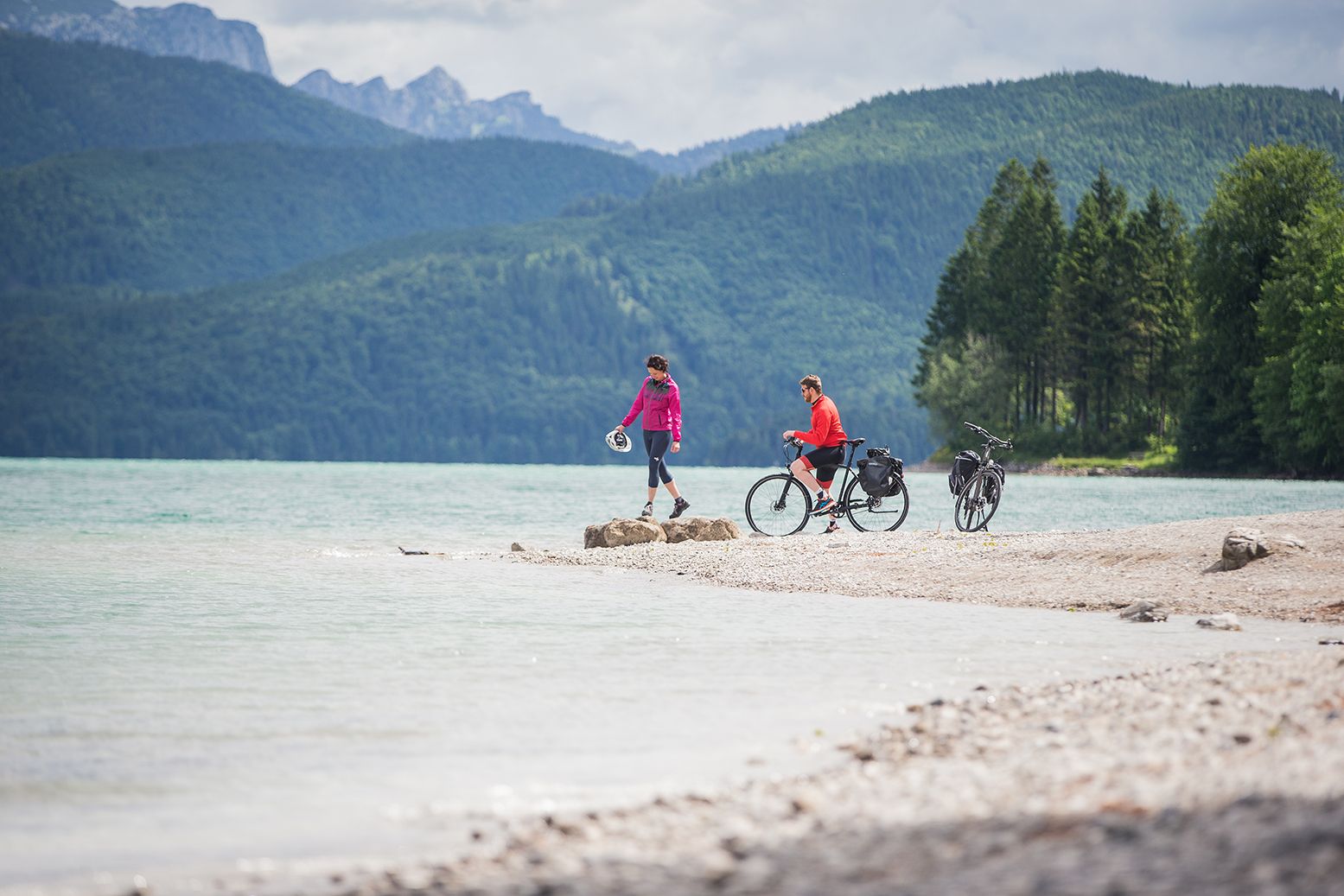
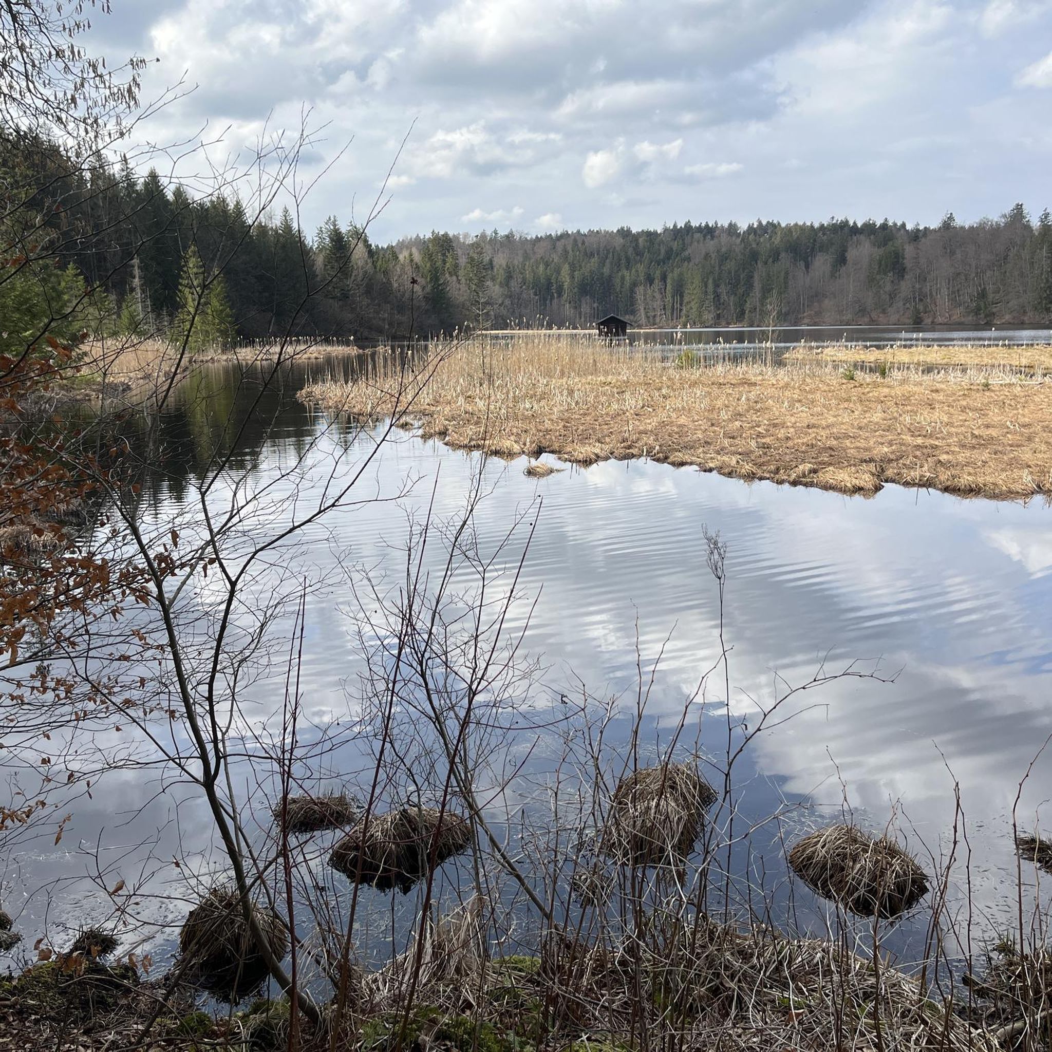
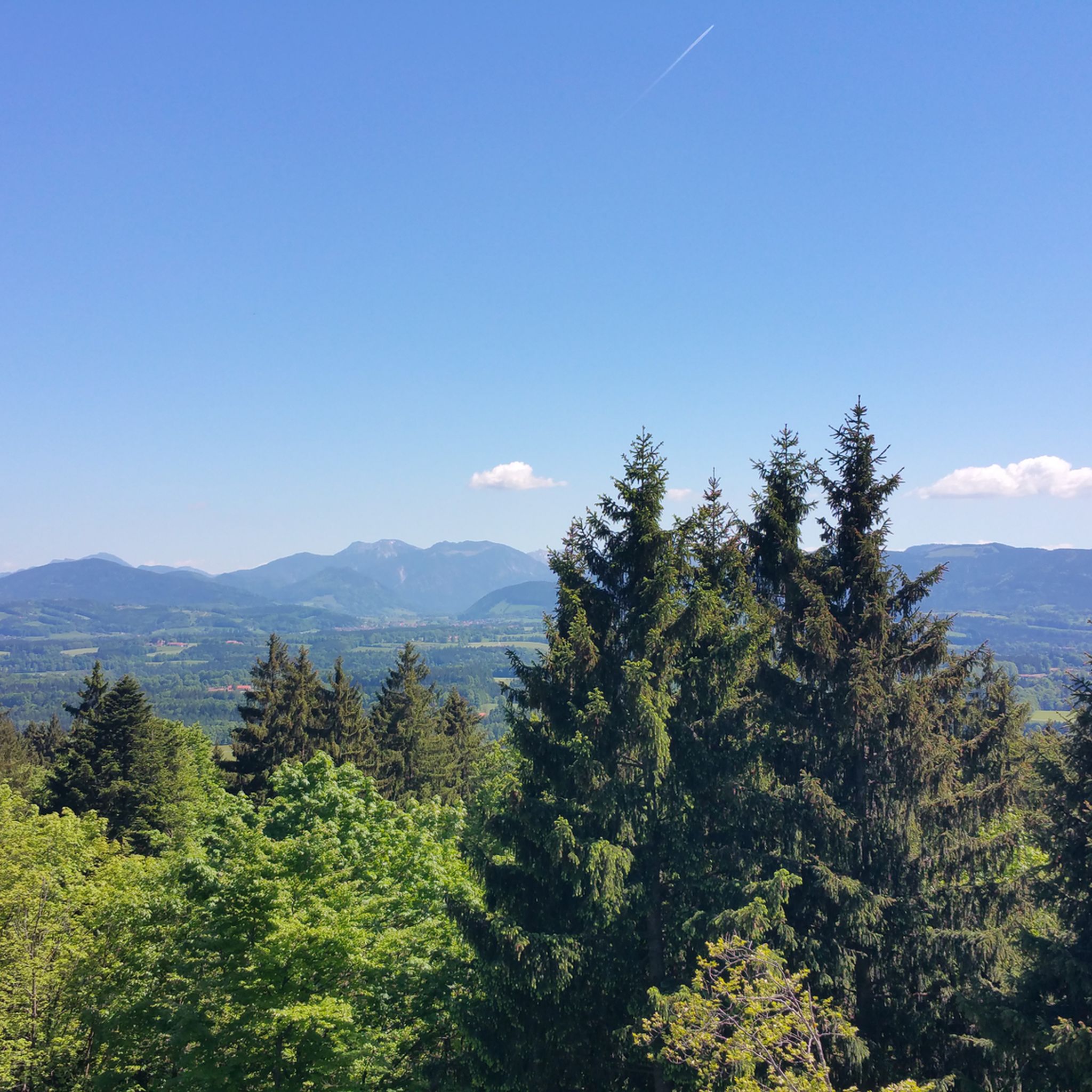
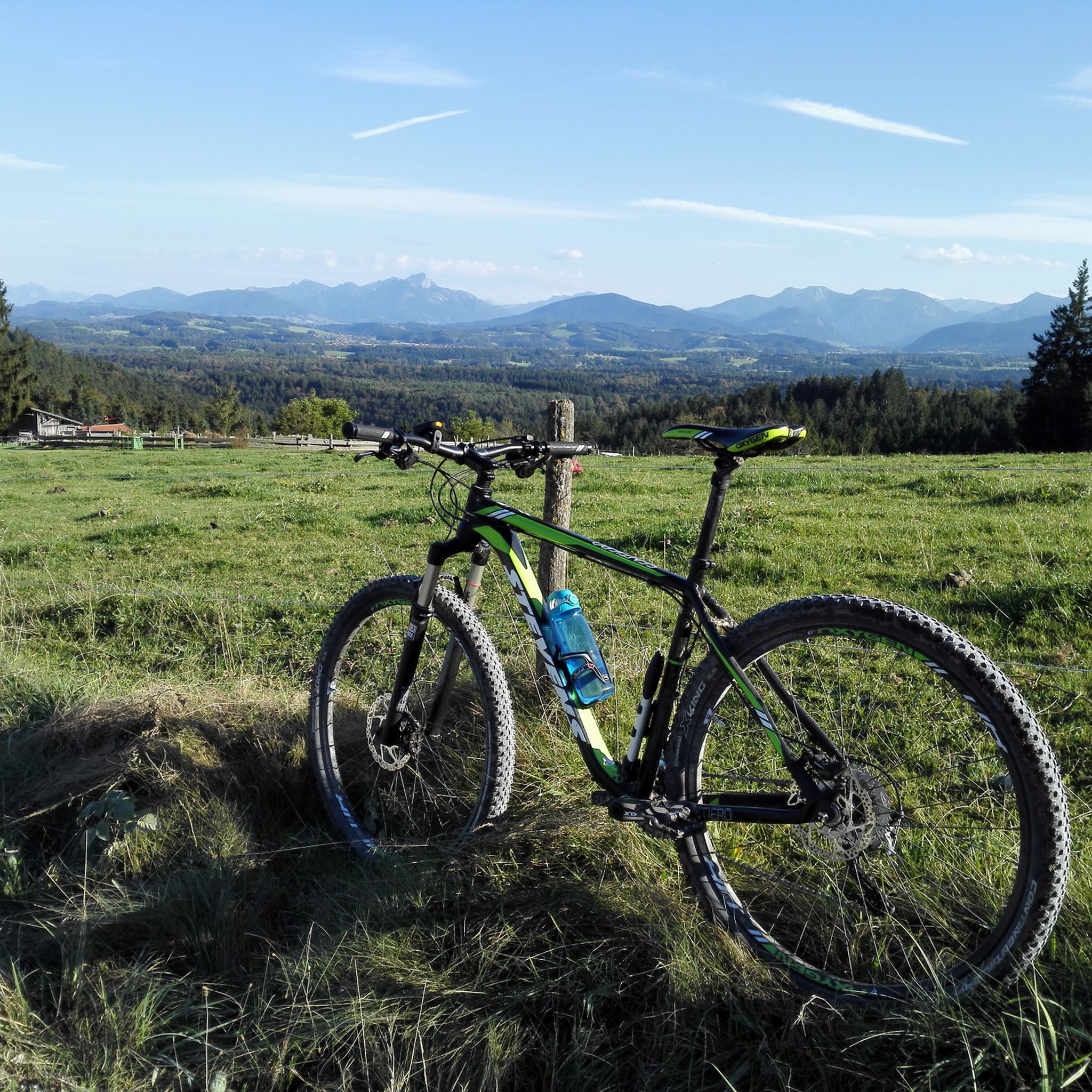
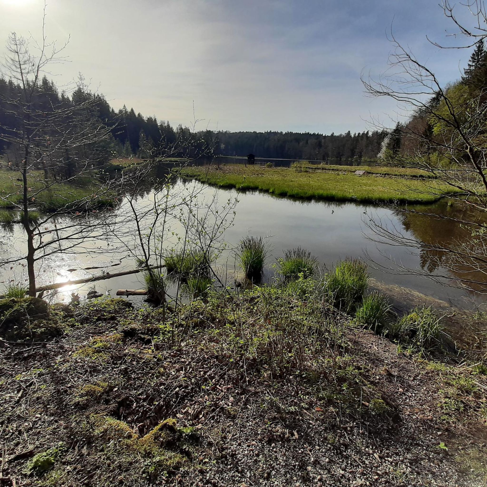

Other adventures around Holzkirchen

Tips from the Community

Nice hidden forest trail from Oberfischbach to Fischbach.
0
0

According to legend, at the end of the 19th century, the Ayingen village shepherd at the time, the "Much", sought shelter under an ancient, large beech tree with the sheep he had entrusted to him because of an approaching storm. This spot was popular because a spring rose there where people could cool off. For no apparent reason, all the sheep suddenly ran off in the same direction. The Much found them nearby in what was then a young forest. Minutes later, lightning struck the ancient beech tree and destroyed it completely. The Much would probably not have survived if he had stayed in the old location. Overwhelmed by the event, the Much knelt down and thanked God for his rescue. Afterwards he was changed, taciturn and thoughtful. Weeks later he was found dead in the spot where he had thanked God for his rescue, dressed in his Sunday best. What and how he died was never clarified. The source and the entire history of both grottos can be found at the following link: www.mystisch.net/blog/?p=128
2
0
The Kupferbachtal was created at the end of the last Ice Age when the meltwater from the Inn-Chiemsee Glacier and partly from the Isar Glacier could not flow into the Rosenheim Basin, which was still filled with ice, and thus a longer period of standstill at the edge of the glacier (so-called Ellkofen Stage). Northeast towards Wasserburg or Gars towards the Inn (“surrounding channel”). The surrounding channel was formed and used between around 18,000 years ago and around 16,500 to 17,000 years ago. Today the area is characterized by several strong calcareous springs. Source and further information https://de.m.wikipedia.org/wiki/Kupferbachtal
1
0

Nice waypoint, but not a highlight
1
0

With the bike you go under the motorway over the Mangfall Gorge.
0
0

Great bridge for cyclists - great views into the Mangfall Gorge and saves a lot of meters in altitude.
0
0

The A8 motorway bridge near Darching makes it possible to cross the Mangfall gorge by bike in the basement. In any case, the view is gigantic. Altitude meters can still be collected in abundance on the further route 😀. On the bike path between Weyarn and Darching.
1
0

About eight kilometers long, mostly wooded terrain in the Bavarian foothills of the Alps between Föggenbeuern near Dietramszell and Egling, although I have not marked the piece between Egling and Thanning (because it is a road). You can roll wonderfully in both directions here, sometimes wider, sometimes narrower, sometimes rooty and there are also short pieces of tar. The incision begins south of Föggenbeuern and meanders six kilometers almost due north, turning west near Fraßhausen and Wörschhausen. From here, at the beginning of the 18th century, the abbot of the Schäftlarn monastery created the three ponds in Thanning for fish farming. These are fed by the Moosbach, which rises in the Reichertshauser valley a few hundred meters above the first pond in the Frauenholz area. The valley ends in Egling.
0
0
Frequently Asked Questions
What types of natural formations can I expect to see in the canyons around Holzkirchen?
The region around Holzkirchen features impressive gorges and ravines, locally known as "Klamm" or "Schlucht." These geological formations, carved by ancient glaciers and flowing water, offer unique hiking experiences amidst towering rock walls, waterfalls, and lush vegetation. You'll find deep glacial valleys, impressive river incisions, and areas like Ellbach and Kirchsee Moor, which features a deep gorge formed by glacial meltwater.
Are there family-friendly canyons or gorges near Holzkirchen?
Yes, there are options suitable for families. For example, the area around Mangfall River at Westerham is noted as family-friendly, offering a deep and impressive natural gorge that can be explored on foot or by bike. Additionally, the Maisinger Gorge, though a bit further afield, is known for its family-friendly hiking experience along the Maisinger Bach stream.
What are some popular hiking trails or routes that explore these canyons?
Many of the gorges offer excellent hiking opportunities. The Kirchseemoorrunde is a highly recommended hike around Ellbach and Kirchsee Moor. You can also explore the deep gorge carved by the Mangfall River near Westerham on foot or by bike. For more hiking options, check out the Hiking around Holzkirchen guide, which includes routes like the Teufelsgraben Forest Path.
What is the best time of year to visit the gorges and canyons around Holzkirchen?
The gorges and ravines around Holzkirchen are beautiful year-round, offering different experiences. Warmer months are ideal for comfortable hiking and enjoying the lush vegetation. Some gorges, like the Partnach Gorge (further afield), even transform into icy wonderlands in winter. The Maisinger Gorge is particularly pleasant in warmer months, providing a cool respite.
Are there any historical or cultural sites associated with the gorges?
Yes, some sites combine natural beauty with local history or legends. Schlocker Grotto (Aying) is a religious building and natural monument with a gorge, associated with local legends and featuring a spring. These stories add a unique cultural layer to the natural landscape.
Can I cycle through or near any of the gorges?
Absolutely. The deep and impressive natural gorge carved by the Mangfall River at Westerham can be explored on foot or by bike. Additionally, the Mangfall Gorge Crossing at Darching allows cyclists to cross the gorge under the A8 motorway bridge, offering gigantic views. For more cycling routes, refer to the Road Cycling Routes around Holzkirchen guide.
What do visitors particularly enjoy about the canyons and gorges in this region?
Visitors appreciate the unique hiking experiences and the dramatic natural beauty. They enjoy the towering rock walls, waterfalls, and lush vegetation. The deep gorge at Ellbach and Kirchsee Moor is described as a 'beautiful piece of nature,' and the Kirchseemoorrunde is a highly recommended hike. The region's gorges are well-regarded by the komoot community, with many upvotes and shared photos.
Are there any gorges that are particularly good for mountain biking?
While specific gorges might have sections suitable for mountain biking, the broader area around Holzkirchen offers numerous MTB trails. You can find routes that incorporate views or crossings of these natural features. For dedicated mountain biking, check out the MTB Trails around Holzkirchen guide, which includes routes like the 'Mangfall Riverside Trail loop'.
What is the Reichertshauserer Valley like?
The Reichertshauserer Valley is an approximately eight-kilometer-long gorge, mostly wooded terrain in the Bavarian foothills of the Alps. It meanders through the landscape, sometimes wider, sometimes narrower, with rooty sections and short paved pieces. The valley is also notable for the Moosbach, which feeds three ponds created for fish farming in the 18th century.
Are there any gorges that are open during winter?
While the guide data doesn't specify winter access for all local gorges, some of the more famous gorges in the broader Bavarian region, like the Partnach Gorge and Breitach Gorge, are known to be open in winter, offering unique experiences with ice formations and torchlight hikes. It's always advisable to check local conditions and opening times before visiting any specific gorge in winter.
What makes the gorges around Holzkirchen unique compared to other regions?
The gorges around Holzkirchen are unique because they are characteristic of the Bavarian landscape, shaped by ancient glaciers and flowing water. Unlike the arid canyons of other regions, these are often lush, forested 'Klamm' or 'Schlucht' that offer a distinct blend of dramatic rock formations, vibrant vegetation, and cool, refreshing environments, especially along streams like the Maisinger Bach or the Mangfall River.
Is there parking or public transport access to these canyon areas?
Access varies by location. While specific parking and public transport details for each highlight are not provided here, many popular natural areas in Bavaria are accessible by car with designated parking, and some by public transport. For example, the Maisinger Gorge is generally accessible, and for other areas, it's recommended to check local transport options or specific highlight details on komoot for the most up-to-date information.
Most popular routes around Holzkirchen
Most popular attractions around Holzkirchen

Get inspired with the komoot mobile app


Explore more
Already discovered everything in this region? See additional gorges around Holzkirchen for your next adventure:
