The 4 Most Amazing Peaks around Tauberbischofsheim
Best mountain peaks around Tauberbischofsheim offer diverse outdoor experiences. The region features varied terrain, including prominent summits and historical sites. Exploring these peaks provides opportunities to engage with the natural landscape and local history. Tauberbischofsheim's surroundings are characterized by their accessible mountainous areas.
Best mountain peaks around Tauberbischofsheim
- The most popular mountain peaks is Summit Cross on Kachelberg, a summit that features a listed open-air cross. This site marks the end of a Way of the Cross near Königheim. …
Last updated: July 9, 2026
Summit Cross on Kachelberg
Highlight • Summit
Details on the Way of the Cross with all stations: de.wikipedia.org/wiki/Kreuzweg_(K%C3%B6nigheim)
Discovered on my tour: komoot.de/tour/282920959
Translated by Google •
Tip by

Crest between Uiffingen and Eubigheim
Highlight • Summit
Translated by Google •
Tip by

Sign up now to discover places like this
Get recommendations on the best single tracks, peaks, & plenty of other exciting outdoor places.
Sign up for free
Wettenburg
Highlight • Forest
Translated by Google •
Tip by

View of Burg Schüpf Site
Highlight • Historical Site
Translated by Google •
Tip by

Start today with a free account
Your next adventure awaits.
Login or Signup
Popular around Tauberbischofsheim
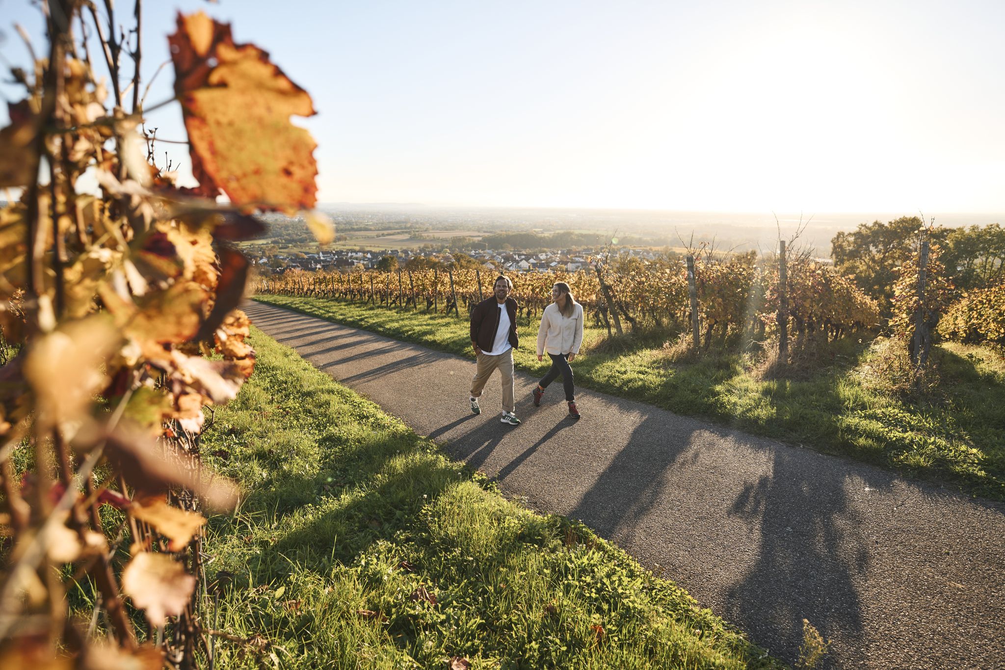
Fine drops and local cuisine – gourmet hiking in the Süden ganz oben

Cycling and local cuisine – pleasure rides in the Süden ganz oben
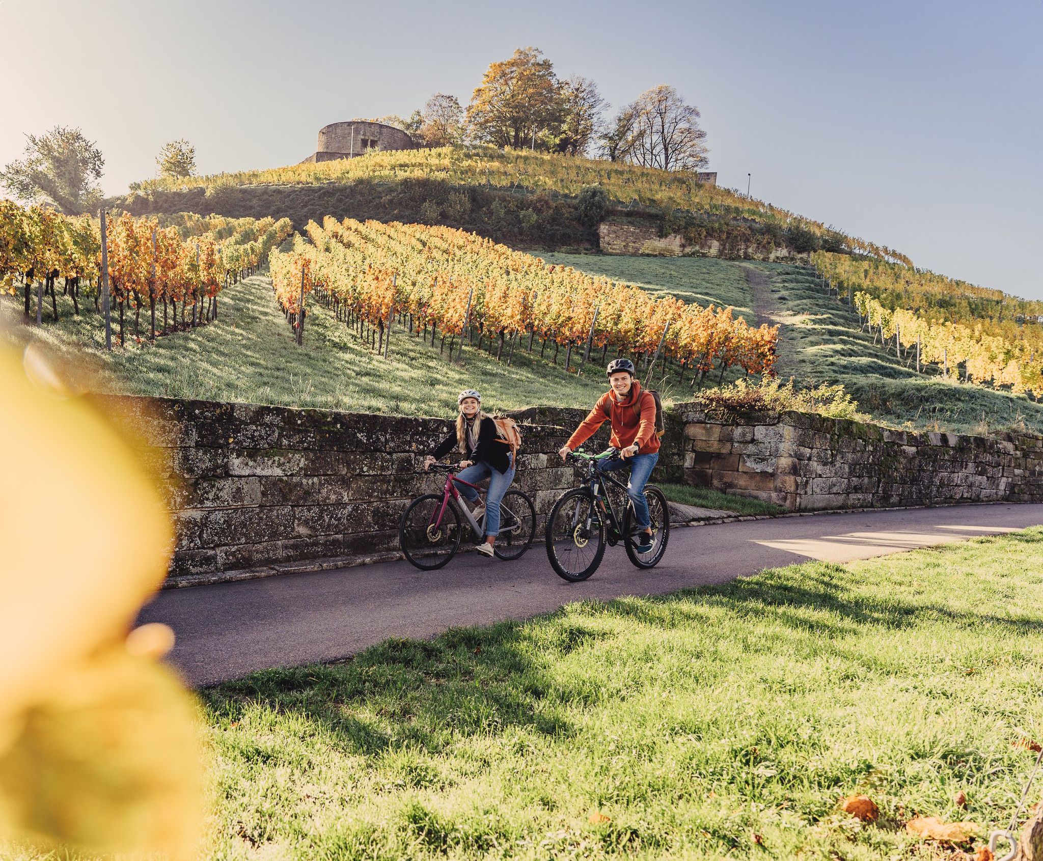
Cycling for pleasure in the north of Baden-Württemberg
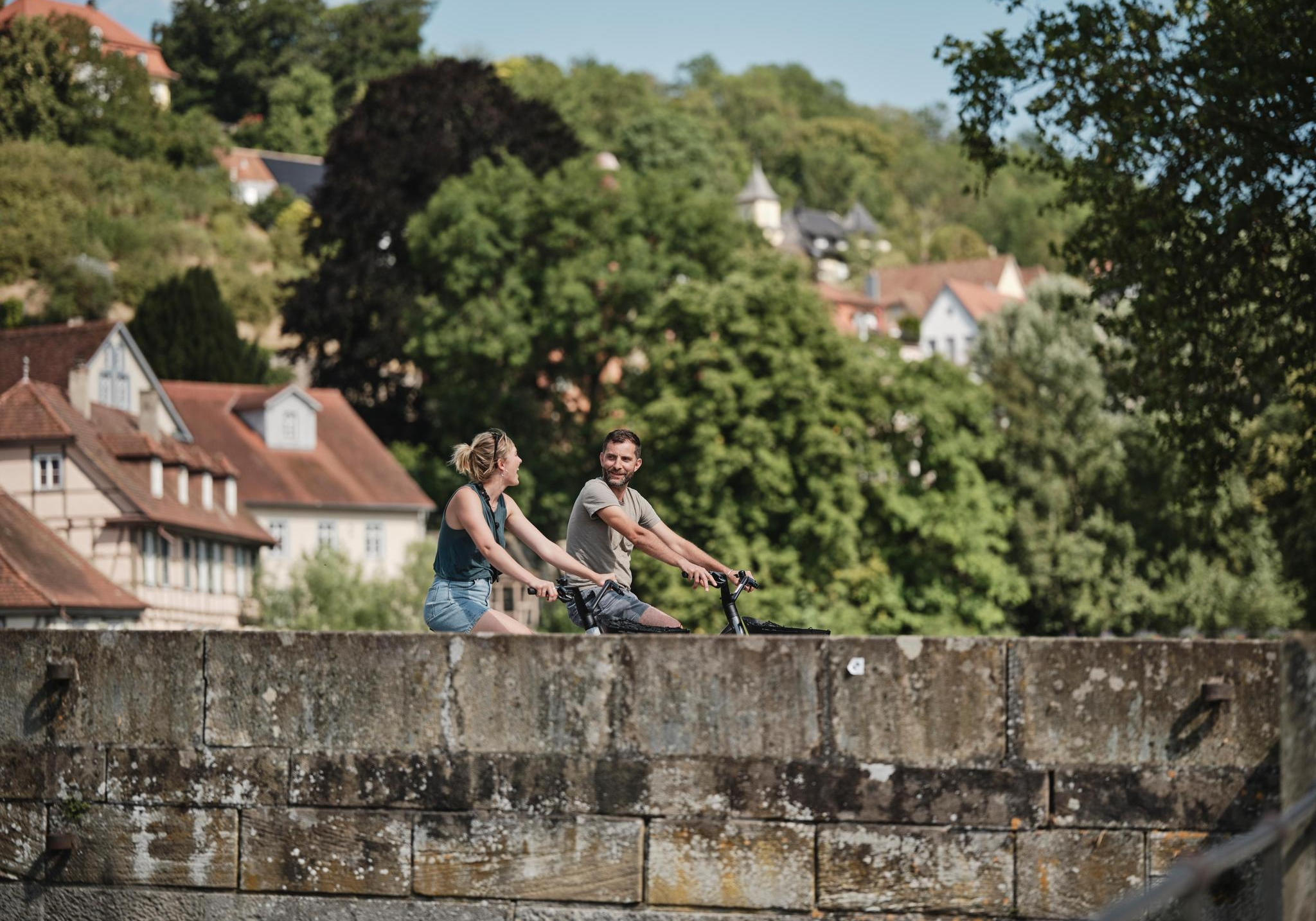
Culinary delights, culture, landscape – long-distance cycling in Baden-Württemberg

E-bike day Tours along the Tauber, Kocher, Jagst and Neckar rivers
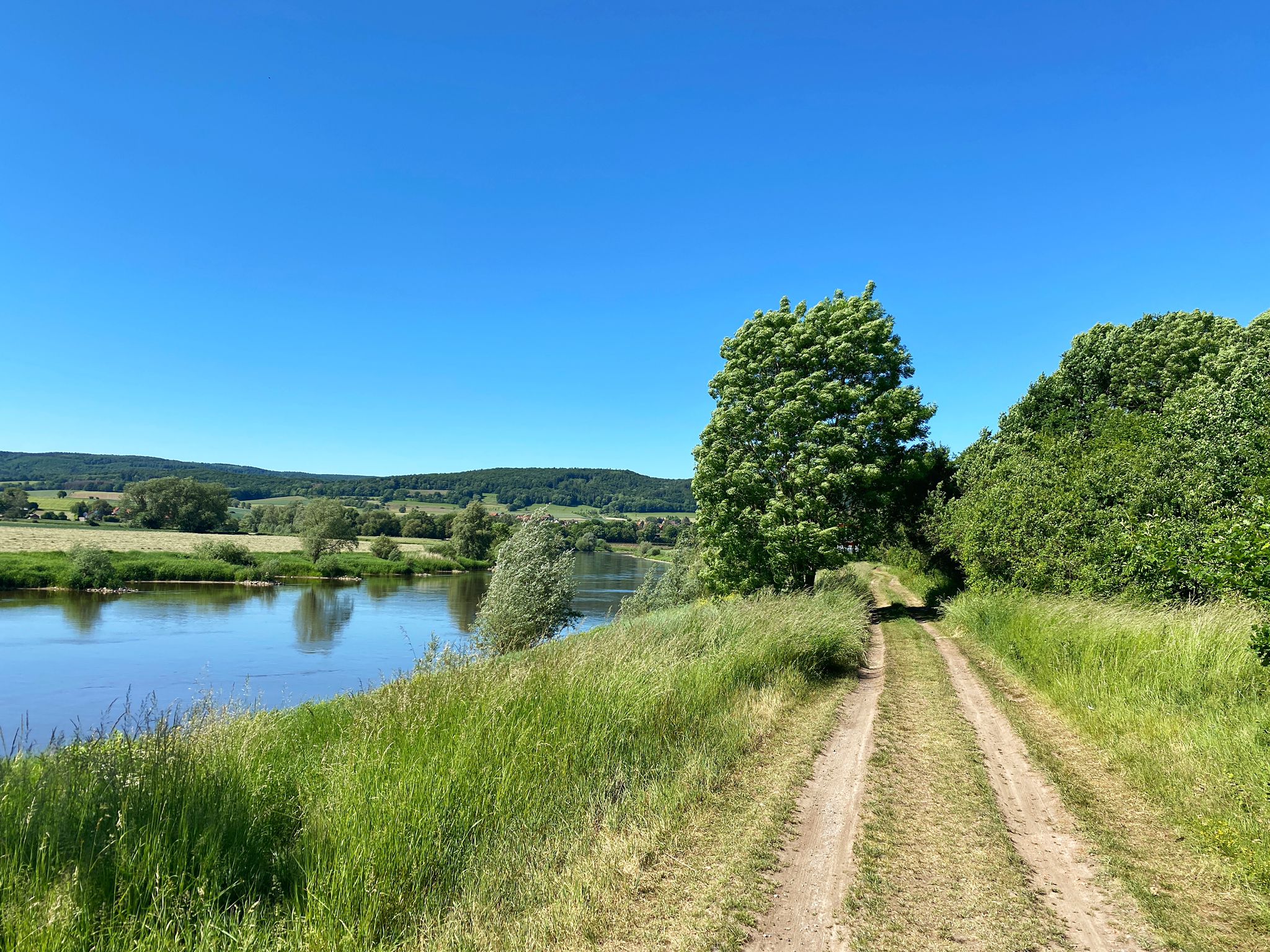
D:Route 9: Weser - Romantic Route
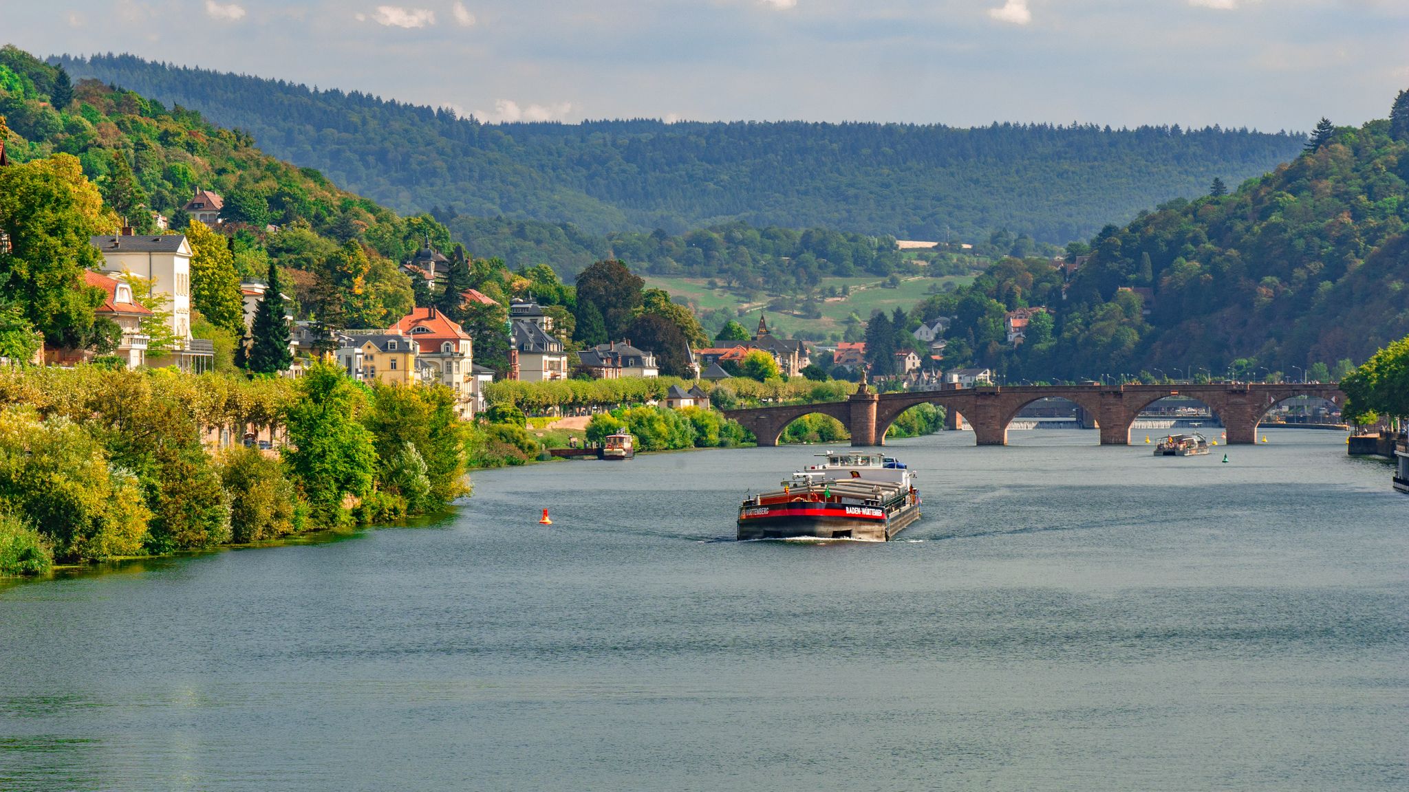
Odenwald-Madonnen-Radweg – 4 days along chapels and nature
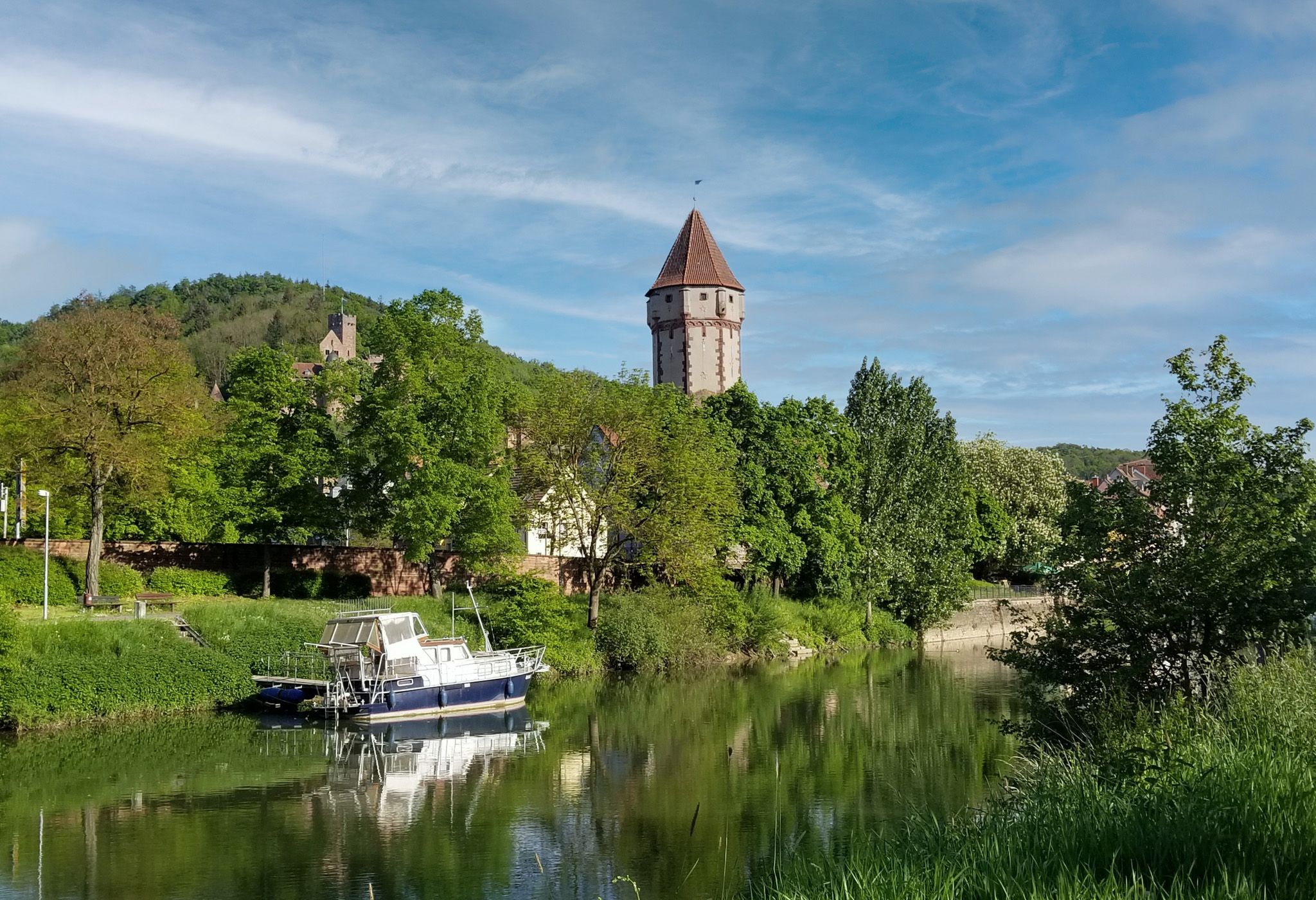
Cycling the Tauber Valley in Germany – Incredible paths & scenery
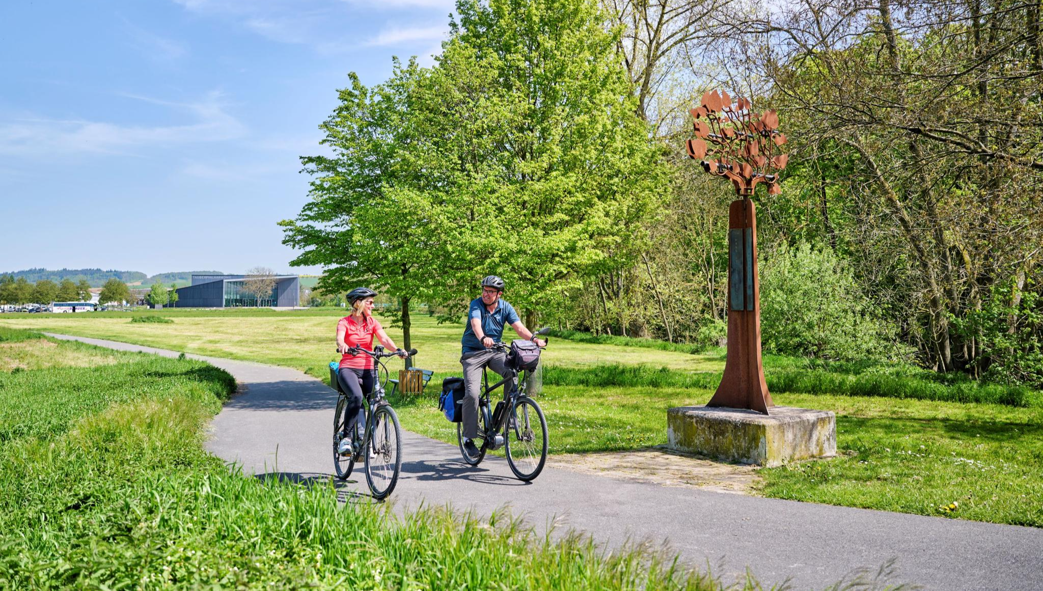
Cycling the Tauber Valley in Germany – Incredible paths & scenery
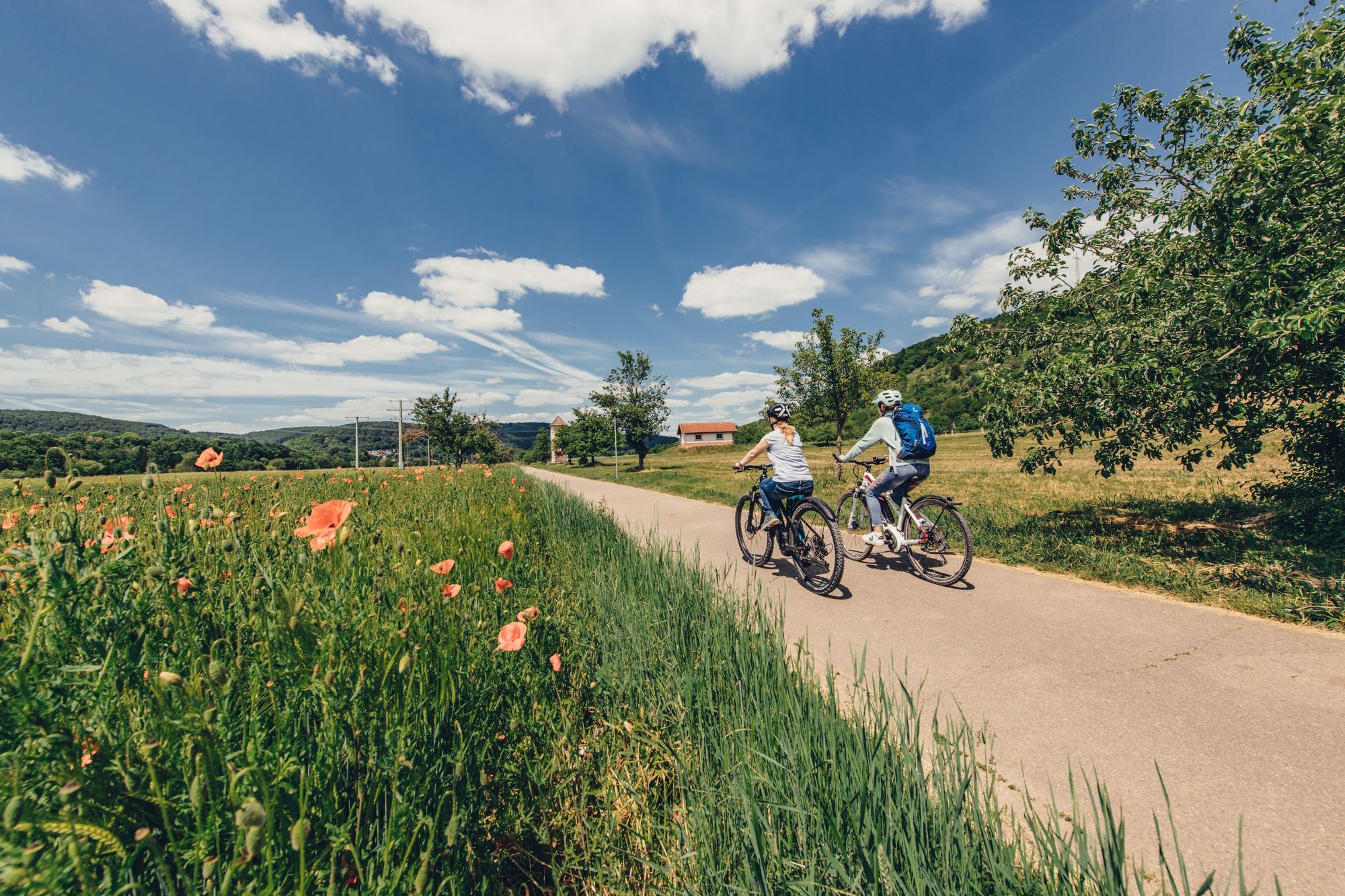
Real insider tips for cycle paths in northern Baden-Württemberg
Other adventures around Tauberbischofsheim


Tips from the Community

Here are further ramparts and ditches of the former Wettenburg - a section of fortification on the mountain ridge that was built in the Neolithic period.
0
0

The route from Lauda to Möckmühl reaches its highest point on the hilltop (underpass under the A 81).
0
0


On the Kachelberg near Königheim there is a listed "open-air cross" which ends here at the summit cross. Details on the Way of the Cross with all stations: https://de.wikipedia.org/wiki/Kreuzweg_(K%C3%B6nigheim) Discovered on my tour: https://www.komoot.de/tour/282920959
2
0

Anyone looking for a ruin will look in vain .... However, a nice place with a great view.
0
0

Historic site above Oberschüpf at which the Burg schüpf stand. Nice to rest and let your eyes wander
1
0
Frequently Asked Questions
What are some of the most popular mountain peaks and viewpoints around Tauberbischofsheim?
Visitors frequently enjoy the Summit Cross on Kachelberg, known for its historical Way of the Cross. Another popular spot is the View of Burg Schüpf Site, which offers a pleasant resting place with views above Oberschüpf.
Are there family-friendly mountain peaks or viewpoints in the Tauberbischofsheim area?
Yes, the View of Burg Schüpf Site is categorized as family-friendly, providing a historical site with a viewpoint suitable for a relaxing stop.
What historical sites can I explore among the peaks near Tauberbischofsheim?
You can visit the Wettenburg, a forest area featuring ramparts and ditches from a Neolithic fortification. Additionally, the Summit Cross on Kachelberg is a listed open-air cross marking the end of a historical Way of the Cross.
Where can I find the best viewpoints among the peaks near Tauberbischofsheim?
The View of Burg Schüpf Site offers a great spot to rest and enjoy views above Oberschüpf. The Summit Cross on Kachelberg also provides a viewpoint.
Are there easy mountain hikes suitable for beginners near Tauberbischofsheim?
Yes, there are several easy hiking routes available. For example, the 'View of the Tauber Valley – Stammberg Chapel loop' is an easy 6.1 km hike. You can find more options in the Easy hikes around Tauberbischofsheim guide.
What other outdoor activities can I enjoy near the mountain peaks of Tauberbischofsheim?
Beyond exploring the peaks, you can find various outdoor activities. There are numerous running trails, such as the 'Tauberbischofsheim Old Town – Tauberbischofsheim Castle loop'. For mountain biking enthusiasts, the MTB Trails around Tauberbischofsheim guide offers routes like the 'Dark Line Trail – Stahlberg Observation Tower loop'.
Can I find circular walks around the mountain peaks in Tauberbischofsheim?
Many of the hiking routes in the region are designed as loops, offering circular walks. For instance, the 'View of the Tauber Valley – Stammberg Chapel loop' is a popular easy circular hike. Explore the Easy hikes around Tauberbischofsheim guide for more options.
Are there natural areas or forests to explore among the peaks?
Yes, Wettenburg is a notable forest area that also holds historical significance. It's a great place to experience nature while exploring ancient fortifications.
What do visitors enjoy most about the mountain peaks around Tauberbischofsheim?
Visitors appreciate the blend of natural beauty and historical significance. The region offers diverse terrain for exploration, from prominent summits like the Summit Cross on Kachelberg to historical forest areas like Wettenburg, providing opportunities to engage with both the landscape and local history.
Are there any less-known or 'hidden gem' peaks to discover?
While not widely publicized, the Crest between Uiffingen and Eubigheim offers an interesting point, marking the highest elevation on a route from Lauda to Möckmühl. It provides a different perspective away from the more frequented spots.
Is public transport available to reach hiking trails near the peaks?
While specific public transport routes directly to every trailhead are not detailed, Tauberbischofsheim itself is connected by public transport. It is advisable to check local bus schedules for connections to villages closer to the desired hiking areas.
What is the best time to hike the mountains around Tauberbischofsheim?
The region is generally pleasant for hiking from spring through autumn, when the weather is mild and the trails are clear. Summer offers longer daylight hours, while spring and autumn provide beautiful foliage. Winter hiking is possible, but conditions can vary, so checking local weather is always recommended.
Most popular routes around Tauberbischofsheim
Most popular attractions around Tauberbischofsheim

Get inspired with the komoot mobile app


Explore more
See even more amazing summits around Tauberbischofsheim with these guides:
