Top 4 Gorges around Tschiertschen
Canyons near Tschiertschen are integral to the rugged landscape of the Schanfigg valley. This region is characterized by deeply carved terrain, shaped by the Plessur river and glacial erosion. The valley features dramatic changes in elevation and impressive rock formations, offering a diverse natural environment. These geological features provide scenic interest and opportunities for outdoor exploration.
Best canyons around Tschiertschen
- The most popular canyons is Weischtobelbach Valley, a gorge that features a wild valley with a freely flowing river.…
Last updated: September 29, 2026
Trail Between Hörnli and Urdenfürggli
Highlight (Segment) • Trail
Translated by Google •
Tip by

Churwalden Gorge Trail
Highlight • Gorge
Tip by

Sign up now to discover places like this
Get recommendations on the best single tracks, peaks, & plenty of other exciting outdoor places.
Weischtobelbach Valley
Highlight • Gorge
Tip by

Fondeier Gorge
Highlight (Segment) • Gorge
Translated by Google •
Tip by

Gorge crossing
Highlight • Gorge
Translated by Google •
Tip by

Start today with a free account
Your next adventure awaits.
Popular around Tschiertschen
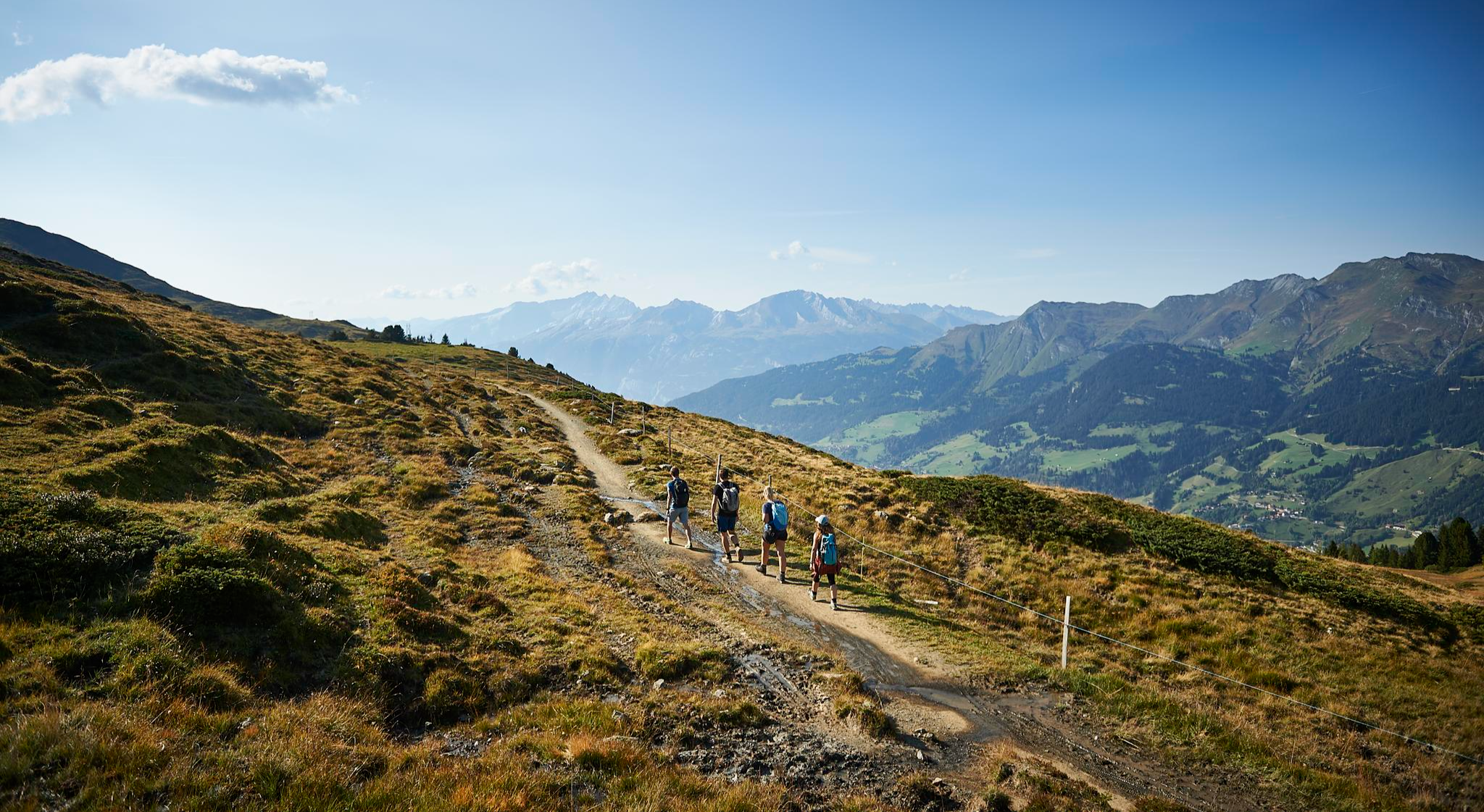
The favourite routes of the locals - hiking around Arosa
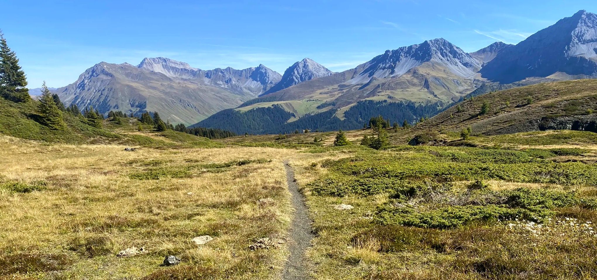
Explore an entire valley on foot - Schanfigger Höhenweg

On ancient paths towards Santiago — the Way of St. James Graubünden
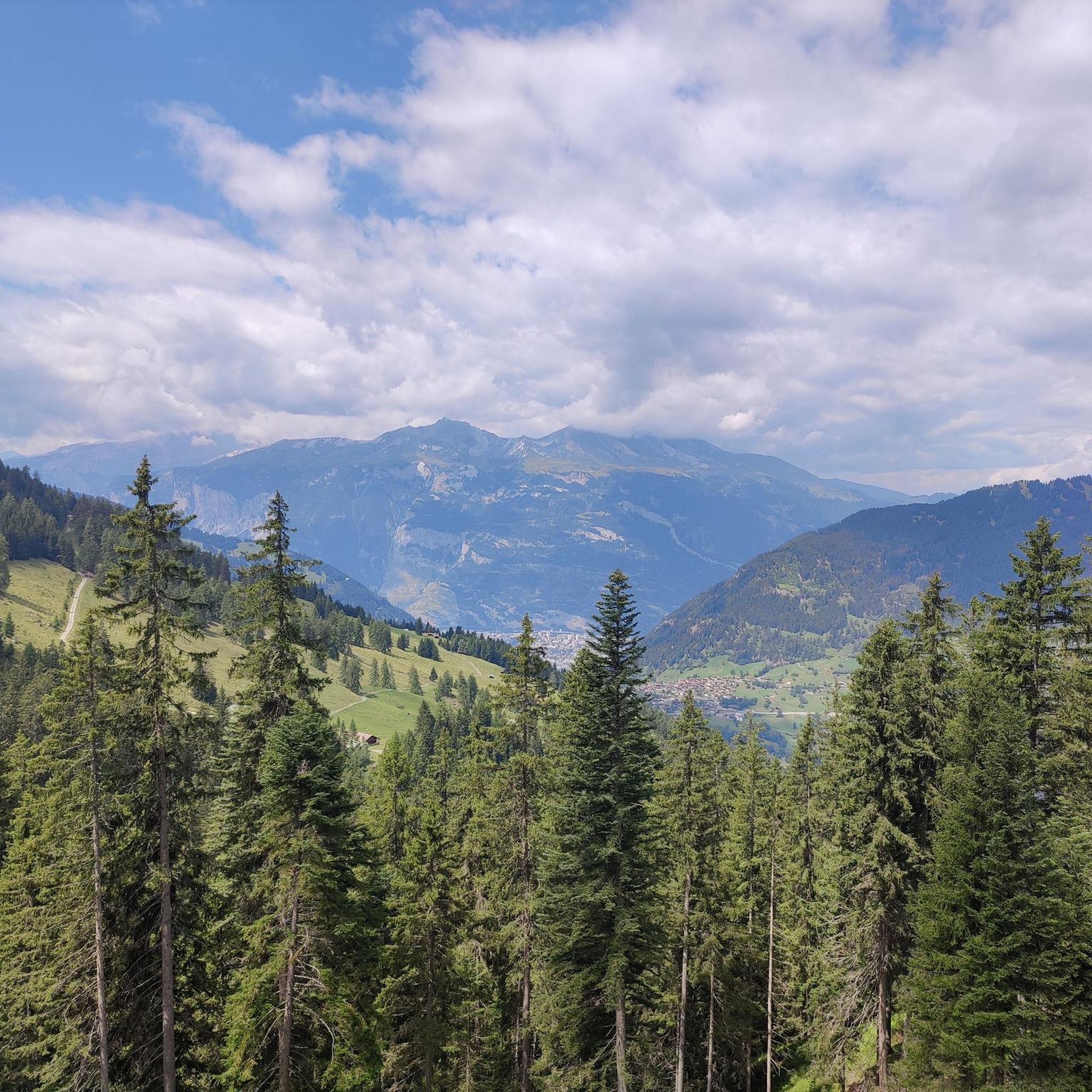
MTB Trails around Tschiertschen
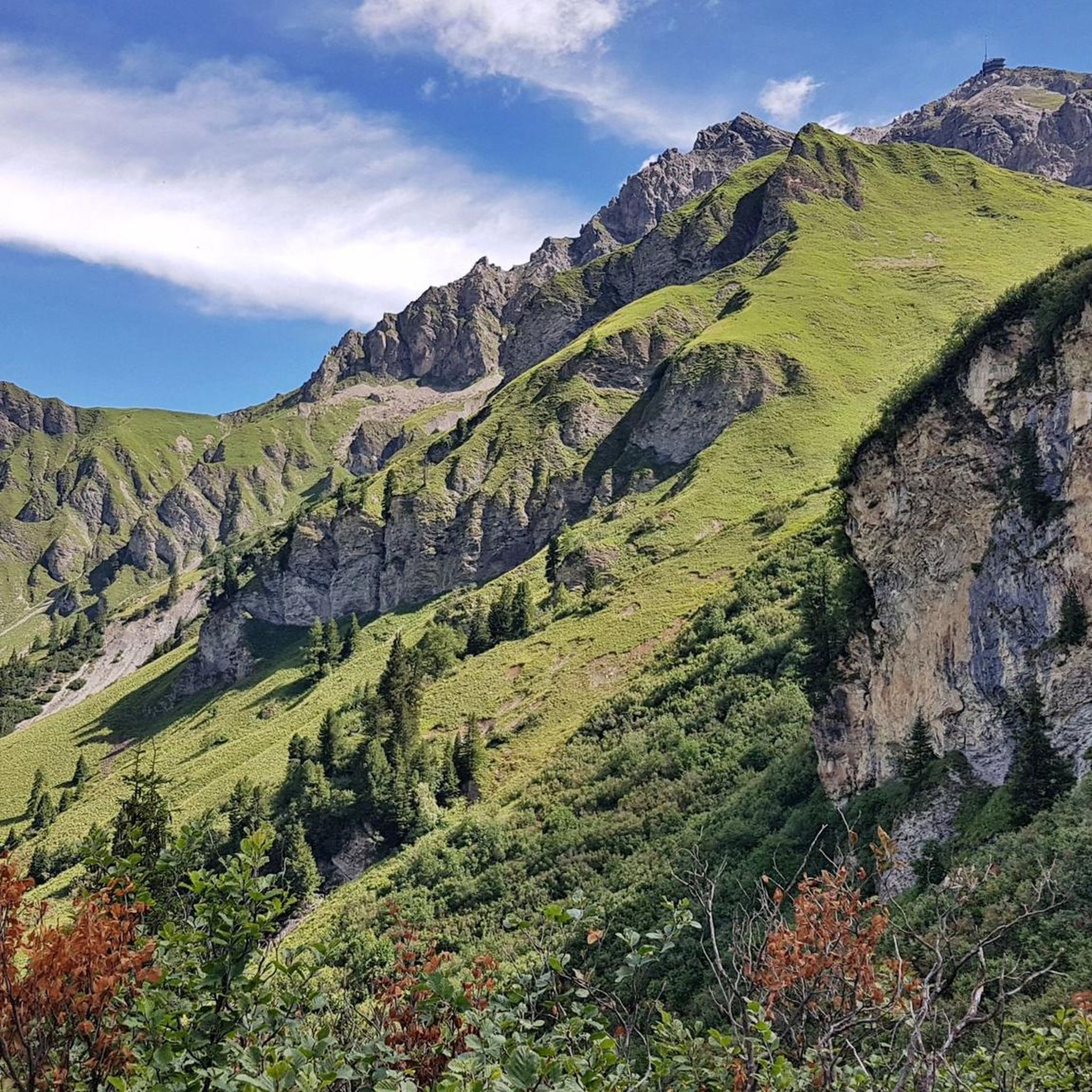
Cycling around Tschiertschen
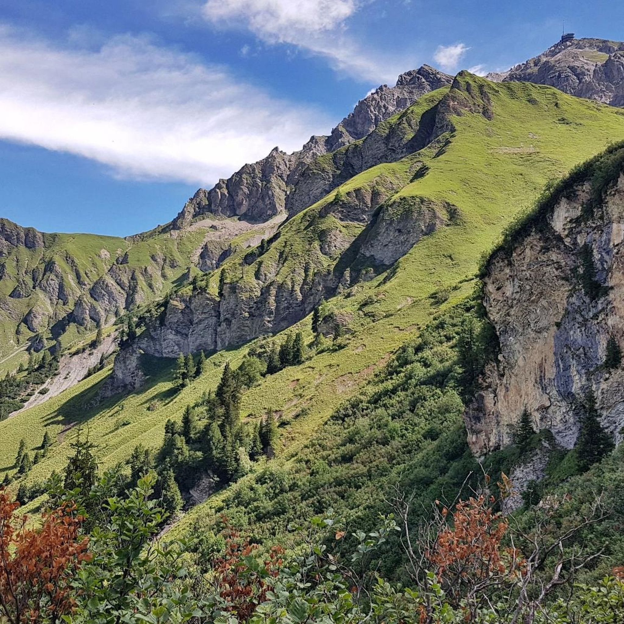
Road Cycling Routes around Tschiertschen
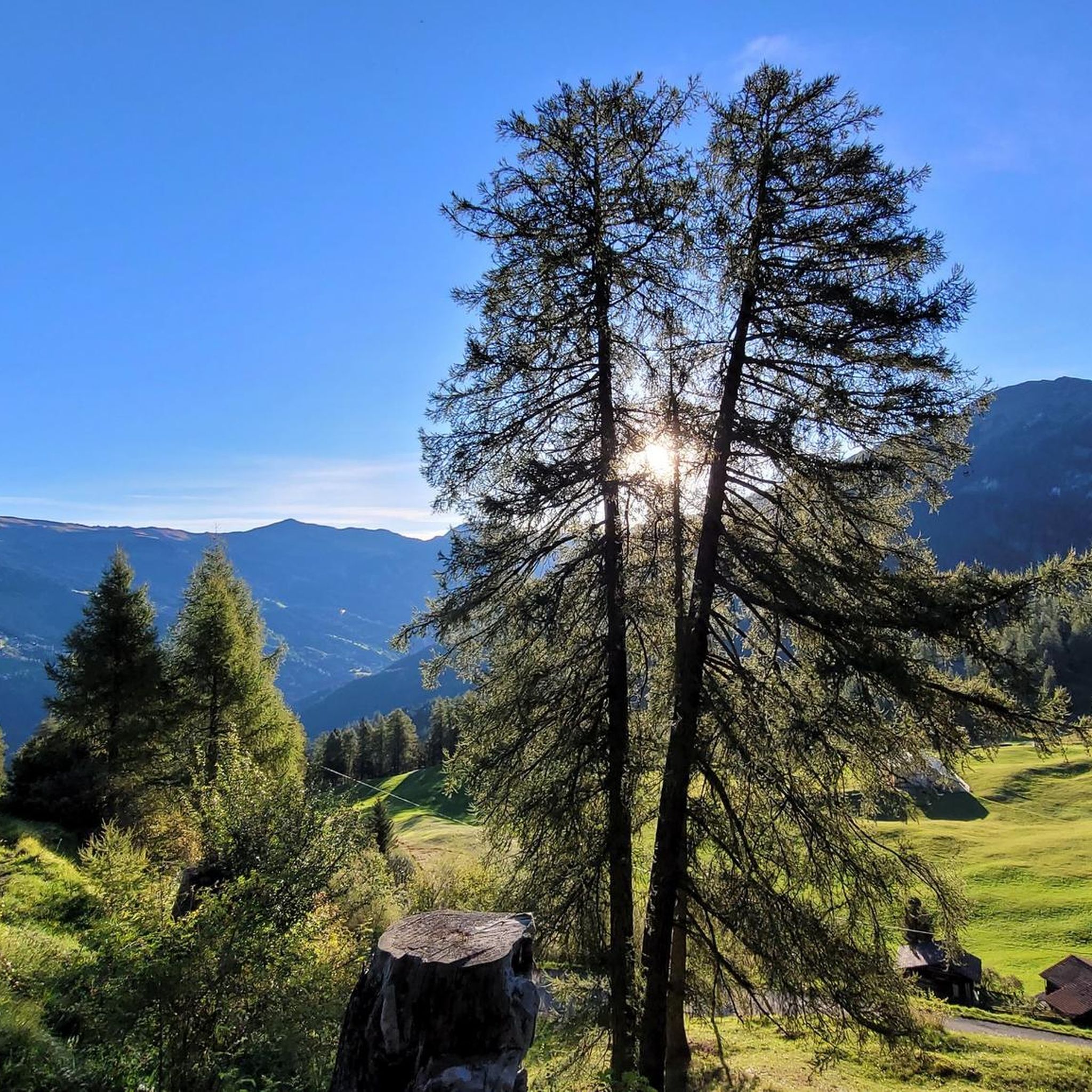
Hiking around Tschiertschen

Gravel biking around Tschiertschen
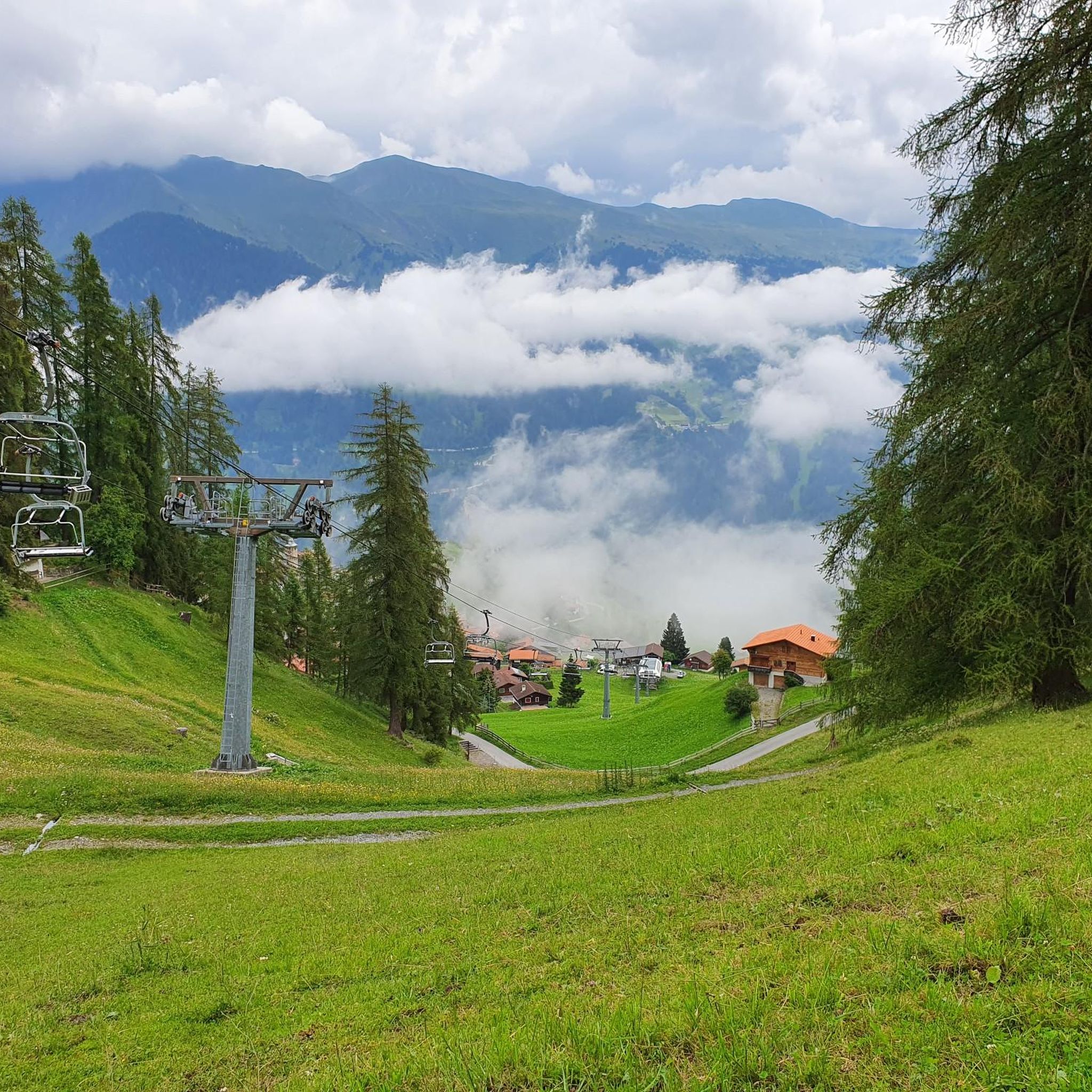
Running Trails around Tschiertschen
Other adventures around Tschiertschen


Tips from the Community

This connecting path alternates very smooth sections with sections full of rocks where you hit the pedals everywhere (impossible to pedal decently). If you are not more than careful the rear derailleur is always at risk... watch out.
0
0

On Ful Mountain the water has cut deep into the southern slope. Exciting ravines and waterfalls were created.
3
0

The way from Chur to Lenzerheide (mostly road or forest path, plus a short trail) is nothing particularly special, but the way is the goal...and so it fits.
0
0

The path through the scree slopes has been created and the largest stones have obviously been cleared for bikers. This makes it easy to ride in many places. Depending on the direction, you have to push your bike the last few meters to Hörnli or Urdenfürggli.
2
0

The valley looks very beautiful and you can hike there easily and without any problems.
1
0

The summer path between Strassberg (Fondei) and Langwies leads along the Fondeier Bach. On the way, a nice picnic area offers the opportunity to take a leisurely break and in the lower section the path leads through the small but wildly romantic Fondeier Gorge.
0
0

Up or down... you will enjoy a completely wild valley, with a river flowing freely.
1
0

Great gravel climb or nice chilled downhill back to Chur from Lenzerheide.
1
0
Frequently Asked Questions
What kind of natural features can I expect to see in the canyons around Tschiertschen?
The canyons around Tschiertschen are integral to the rugged landscape of the Schanfigg valley. You can expect to see deeply carved terrain, dramatic elevation changes, and impressive rock formations shaped by the Plessur river and glacial erosion. These areas often feature wild valleys, freely flowing rivers, and steep slopes, offering a diverse natural environment.
Are there any unique geological formations near Tschiertschen's gorges?
Yes, the Gründjitobel, a steeply eroded gravel moraine gorge in the vicinity, is known for its distinctive sandy formations called "Steinmannli Earth Pyramids." These unique natural phenomena are formed by erosion and offer a glimpse into the geological forces that shaped the region.
What are some popular gorges for hiking near Tschiertschen?
Visitors enjoy several gorges for hiking. The Weischtobelbach Valley offers a completely wild valley with a freely flowing river, ideal for a natural hike. Another popular spot is Fondeier Gorge, which has a path along the Fondeier Bach and includes a pleasant picnic area.
Are there any gorges suitable for cycling or gravel routes?
Yes, the Churwalden Gorge Trail is suitable for gravel climbing or downhill routes, connecting areas like Chur and Lenzerheide. It's a great option for those looking to combine cycling with scenic gorge views.
What outdoor activities can I do near these canyons?
Beyond exploring the gorges themselves, the region offers a variety of outdoor activities. You can find numerous hiking routes, such as the 2-lake hike to Älplisee and Schwellisee, or the Furgglis Hut – Tschiertschen loop. For gravel biking, routes like the Kunkelsstrasse – Kunkel Pass loop are available. You can explore more options on the hiking guide or gravel biking guide for Tschiertschen.
Are there any challenging trails that pass through gorge-like terrain?
Yes, the Trail Between Hörnli and Urdenfürggli is a challenging trail that includes sections through scree slopes and offers views of gorge-like features. It's known for its beautiful valley crossing and can be quite demanding in parts, especially for bikers.
What is the Schanfigger Höhenweg and does it involve gorges?
The Schanfigger Höhenweg (Schanfigg High Trail) is a multi-day hiking route that traverses the Schanfigg valley. It passes through rugged sections, offering views of steep slopes, deep-cut gorges, and roaring mountain streams, making these natural features an integral part of the trail experience.
What do visitors enjoy most about the gorges around Tschiertschen?
Visitors particularly enjoy the raw, untouched beauty and the sense of immersion in nature. The Weischtobelbach Valley is appreciated for its completely wild nature and freely flowing river, while the Fondeier Gorge is loved for its romantic path and picnic spots. The dramatic geological formations and spectacular views are frequently highlighted.
Are there any gorges with waterfalls in the area?
Yes, the Gorge crossing on Ful Mountain features exciting ravines and waterfalls where water has cut deep into the southern slope, creating impressive natural spectacles.
Is recreational canyoning available in the gorges around Tschiertschen?
While the region features many deep-cut gorges and rugged terrain, the available information focuses on hiking and exploring these natural formations rather than organized recreational canyoning activities. The landscape is more suited for scenic hikes and appreciating geological features.
Are there any running trails near the gorges?
Yes, there are several running trails in the broader Tschiertschen area. Examples include the Hotel Gspan – Maran Dairy loop from Arosa or the Upper Lake (Arosa) – Obersee loop. You can find more detailed running routes on the running trails guide for Tschiertschen.
Most popular routes around Tschiertschen
Most popular attractions around Tschiertschen

Get inspired with the komoot mobile app


Explore more
Already discovered everything in this region? See additional gorges around Tschiertschen for your next adventure:
