The 4 Most Amazing Peaks around Hürm
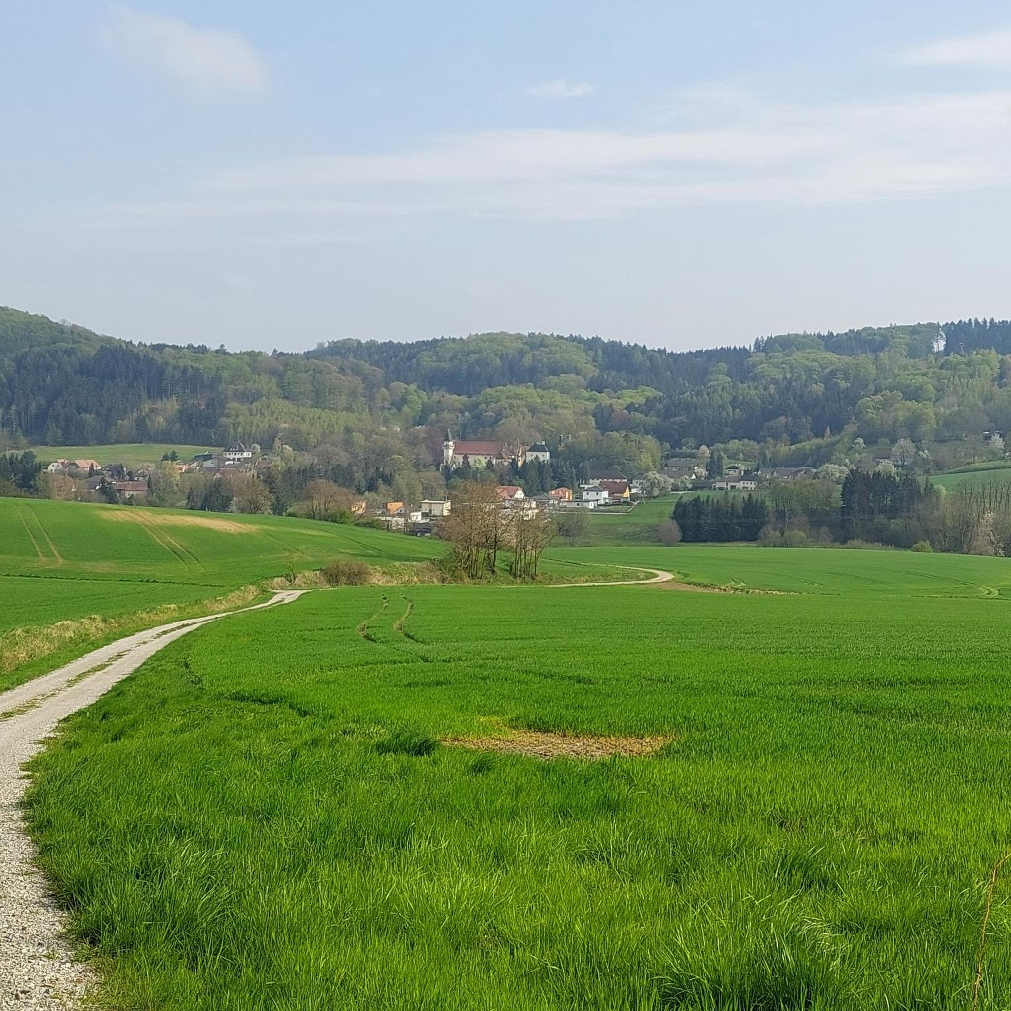
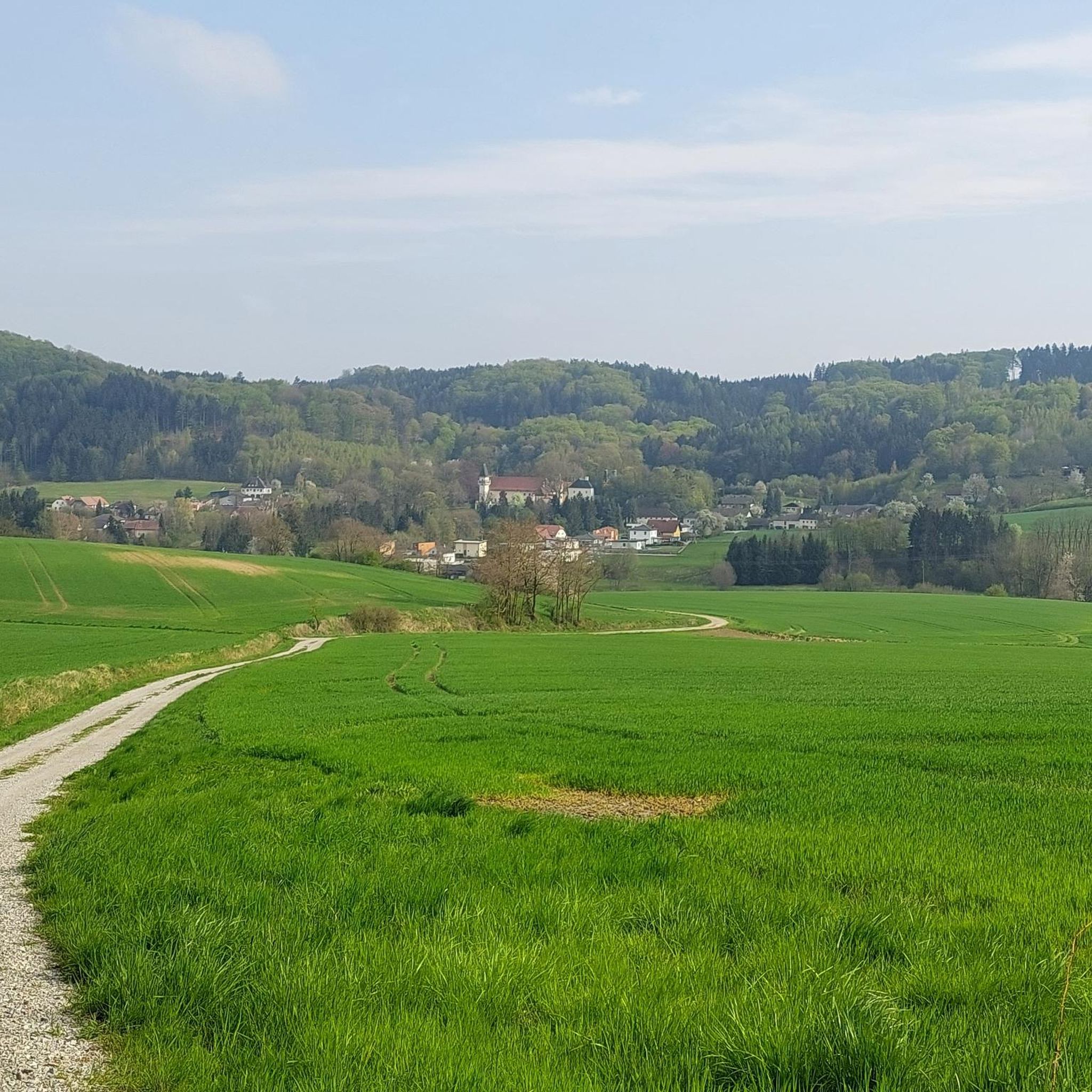
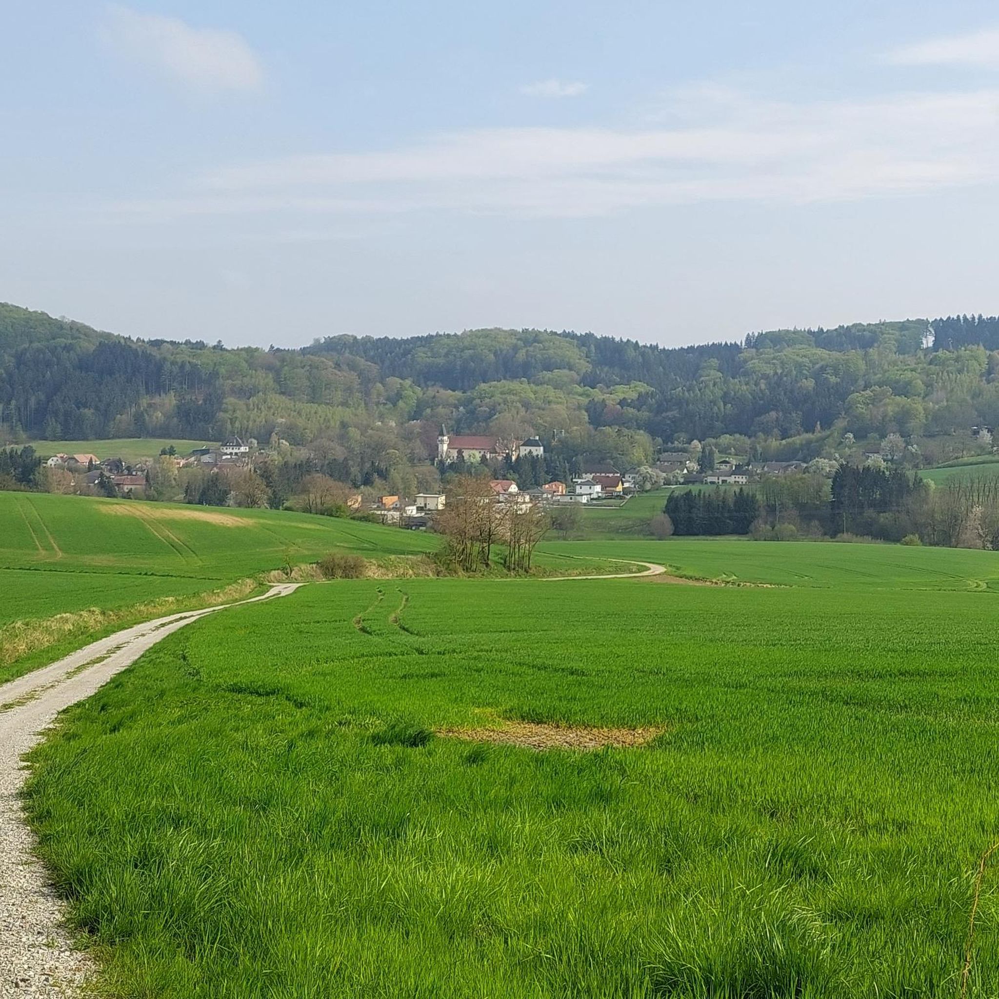
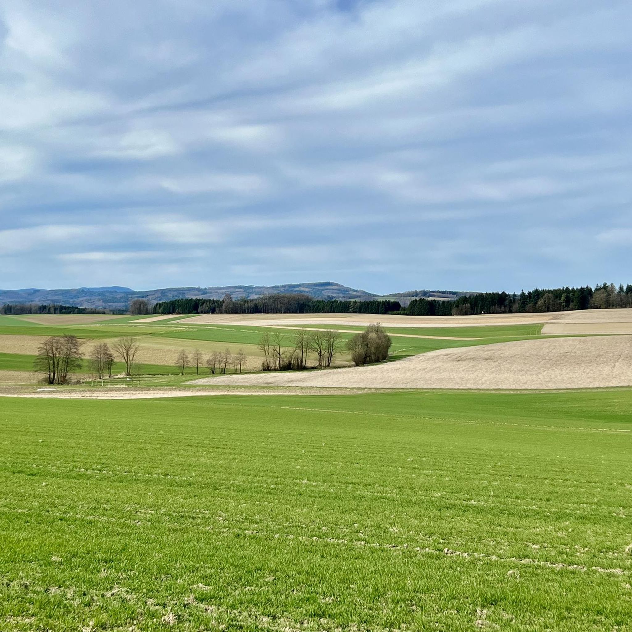
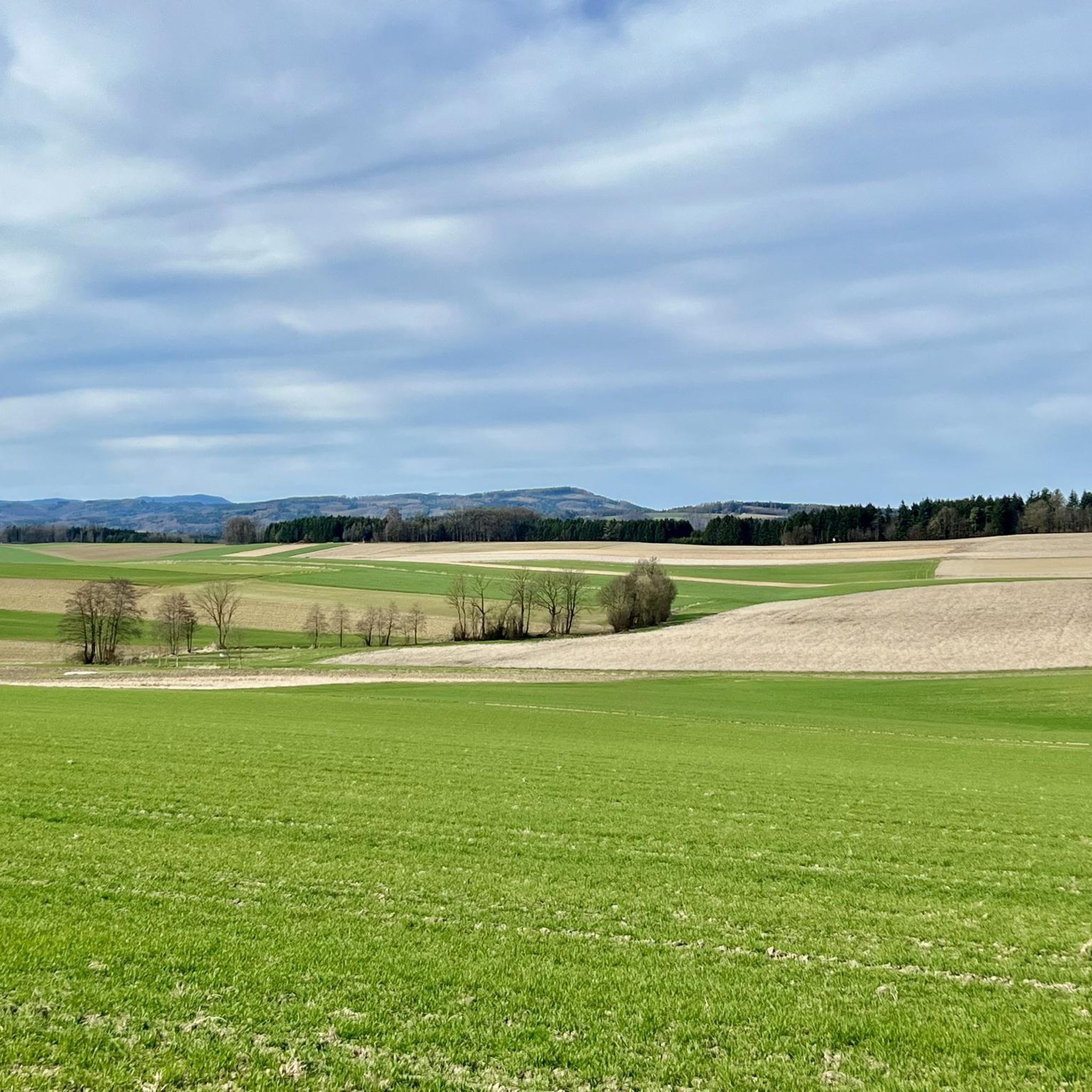
Best mountain peaks around Hürm are found in a hilly, forested region within the Mostviertel, Austria. Hürm, a market town in the district of Melk, serves as a starting point for various hikes. While the town itself reaches an elevation of 406 meters, the surrounding area offers numerous elevated points and trails. These provide scenic vistas and opportunities to explore the natural landscape.
Best mountain peaks around Hürm
- The most popular mountain peaks is Dunkelstein Summit Cross, a summit…
Last updated: June 26, 2026
Dunkelstein Summit Cross
Highlight • Summit
Translated by Google •
Tip by

Summit cross on Restenbauer Höhe
Highlight • Summit
Translated by Google •
Tip by

Sign up now to discover places like this
Get recommendations on the best single tracks, peaks, & plenty of other exciting outdoor places.
Sign up for free
Hamesberg with summit cross
Highlight • Summit
But the view is really nice and a little to the side at the end of the …
Translated by Google •
Tip by

Loosdorf Summit Cross (363 m)
Highlight • Summit
The metal box could contain a summit book - unfortunately, it's filled with garbage - what a pity!
Translated by Google •
Tip by

View from Hiesberg Summit
Highlight • Viewpoint
Not very spectacular, but you have a good view towards Loosdorf (Anzendorf, Schallaburg ...)
Translated by Google •
Tip by

Start today with a free account
Your next adventure awaits.
Login or Signup
Tips from the Community


Great view. Beautiful area.
0
0

A definite recommendation for anyone who needs to get out of the city and is looking for a destination! Thanks to the various ascent options, the tour can be tailored to individual time constraints and adapts to all lifestyles! Fantastic!!
0
0

The Dunkelstein (625m) near St. Pölten is an easily accessible destination with a summit cross, ideal for a short hike without any special requirements, often combined with the summit cross at the Hennesteck for a beautiful view, as the Dunkelstein itself is mostly surrounded by trees; a tip is to combine the loop with the nearby, scenic summit to have the full experience with summit register and panoramic view.
0
0

At 625 meters above sea level, the Dunkelstein is the highest point in the southern Dunkelstein Forest. An iron high stand was erected near the summit in 1931 for the purpose of surveying. This was blown up by the German Wehrmacht in 1945. The concrete foundations and remnants of the latticework can still be seen today not far from the summit cross.
1
0


A really nice place with a great view, the Römerweg 651 leads over here.
2
0
A wonderful rest and viewing point above the Pielachtal.
2
0
Frequently Asked Questions
What are the highest points or peaks around Hürm?
While Hürm itself is in a hilly region, the highest point in the nearby Dunkelsteinerwald is the Dunkelstein Summit Cross at 625 meters above sea level. Another notable elevated point is the Summit cross on Restenbauer Höhe, reaching 623 meters, offering beautiful views of the countryside.
Are the hikes to these elevated points challenging, or are they more accessible?
The elevated points around Hürm, such as the Dunkelstein Summit Cross and Summit cross on Restenbauer Höhe, are generally considered intermediate. The region offers a mix of trails, from the more vigorous Panorama Route to easier paths suitable for families, ensuring options for various fitness levels.
Are there family-friendly options for exploring the elevated areas around Hürm?
Yes, the region around Hürm is well-suited for families. Many local hiking trails, like the Ainhofenrunde or Schloss Sooß Rundweg, are marked and suitable for strollers. The hike to Schloss Haindorf is particularly enjoyable for families due to its relatively easy nature and interesting sights.
When is the best time of year to visit the peaks and elevated areas around Hürm?
The best seasons for hiking and enjoying the elevated views around Hürm are spring and summer, when meadows are vibrant with colorful flowers and the mild climate is ideal. Autumn also offers beautiful scenery as the leaves change color, providing a picturesque backdrop for your adventures.
What kind of views can I expect from the summits and elevated points?
From elevated points like the Summit cross on Restenbauer Höhe and Hamesberg with summit cross, you can expect magnificent panoramic views over the surrounding hilly and forested landscape of the Mostviertel region. The View from Hiesberg Summit offers a good perspective towards Loosdorf.
What historical or cultural sites can be found near these elevated areas?
The region combines natural beauty with historical significance. A beautiful hike leads to Schloss Haindorf, a historic castle majestically enthroned on a hill with a magnificent panoramic view. Additionally, the Hamesberg with summit cross is part of the historically significant Römerweg 651, and the Loosdorf Summit Cross is a dedicated monument.
Are the trails to the peaks around Hürm dog-friendly?
While specific rules for dogs on every trail are not detailed, the general nature of the hiking trails in the Hürm region, particularly the local routes and those through forests and meadows, are typically dog-friendly. It is always advisable to keep dogs on a leash, especially near livestock or in protected natural areas.
What other outdoor activities can I do near the elevated points around Hürm?
Beyond hiking to the elevated points, the Hürm region offers a variety of outdoor activities. You can explore numerous easy hikes, embark on MTB trails, or enjoy cycling routes through the picturesque landscape. The area is also connected to the extensive Dunkelsteinerwald-Runde, a long-distance hiking trail.
What do visitors enjoy most about the elevated areas and peaks around Hürm?
Visitors particularly enjoy the serene natural beauty of the Mostviertel region, the expansive views from various viewpoints, and the opportunity to discover historical sites like Schloss Haindorf. The diverse range of trails caters to all preferences, from leisurely family walks to more challenging routes, providing a peaceful escape into nature.
Are there specific hiking routes that connect to multiple elevated points or offer extensive views?
Yes, the Panorama Route is known for providing spectacular views of the surrounding hilly and forested landscape. Additionally, the Dunkelsteinerwald-Runde, an extensive 160-kilometer long-distance hiking trail, connects many beautiful places and elevated areas within the Dunkelsteinerwald region, offering unparalleled enjoyment of nature and hiking.
Is there parking available for hikers accessing these elevated areas?
The Hürm region is well-equipped for hikers, with various marked trails often having designated parking areas at trailheads. For specific parking details, it is recommended to check local signage or detailed hiking maps for the starting points of your chosen route.
Most popular attractions around Hürm

Get inspired with the komoot mobile app


Explore more
See even more amazing summits around Hürm with these guides:
