The 7 Most Amazing Peaks around Ried in der Riedmark
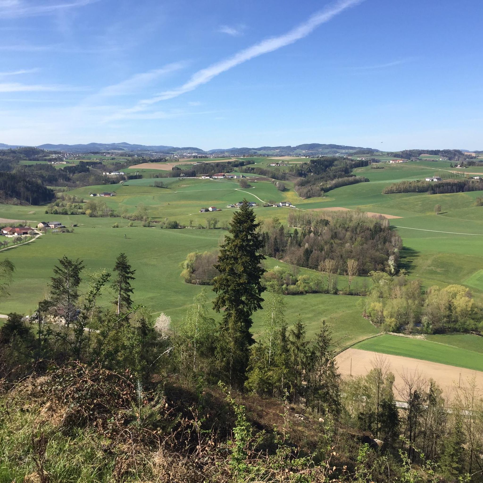
Mountain peaks around Ried in der Riedmark are characterized by rolling landscapes and forests, offering accessible elevated points for exploration. Ried in der Riedmark itself is situated at an elevation of 306 meters above sea level. The surrounding area features prominent elevations such as Weltstein and Pfenningberg, which provide scenic views and hiking opportunities. These locations serve as key natural attractions in the vicinity.
Best mountain peaks around Ried in der Riedmark
- The most popular mountain peaks is Weltstein,…
Last updated: July 10, 2026
Pfenningberg Summit Cross
Highlight • Summit
Translated by Google •
Tip by

Weltstein
Highlight • Natural Monument
Translated by Google •
Tip by

Sign up now to discover places like this
Get recommendations on the best single tracks, peaks, & plenty of other exciting outdoor places.
Sign up for free
Three Beeches Cross
Highlight • Trail
Translated by Google •
Tip by

Hohenstein Summit Cross (526 m)
Highlight • Summit
Translated by Google •
Tip by

Gruberhügel Summit Cross (377 m)
Highlight • Summit
Translated by Google •
Tip by

Sign up for free to discover even more peaks around Ried in der Riedmark.
Sign up for free
Already have an account?
Start today with a free account
Your next adventure awaits.
Login or Signup
Popular around Ried in der Riedmark


Tips from the Community

Wonderful circular hike away from the hustle and bustle in the hilly Mühlviertel landscape. The legend of the devil (information board at the summit cross) is really brilliant, a clever farmer😜
2
1

Such rock formations are more commonly found further north in the Mühlviertel region. A great destination for a day trip that is easy to reach or can be explored via a beautiful circular hiking trail: https://www.komoot.com/de-de/tour/2058392409
2
2

A Linz city summit for every season and every type of weather.
2
0
A small peak, but without a view.
0
1

The hiking trail is also wonderful when coming up from Windegg. The last stretch to the rock formation is then a matter of personal judgement.
0
0
Meanwhile, the easier Dachstrail towards Daxleitner starts here - only the last part is tricky due to loose stones in the ditch.
2
1

Summit tour with beautiful views and chapel.
1
0
Nice place at the summit cross with lots of mossy stones.
1
1
Frequently Asked Questions
What are the most prominent elevated points near Ried in der Riedmark?
While Ried in der Riedmark itself is characterized by gentle hills, the most prominent elevated points nearby are Weltstein (478 m) in Schwertberg and Pfenningberg (616 m) in Steyregg. Both offer scenic views and hiking opportunities.
Where can I find the best panoramic views near Ried in der Riedmark?
For extensive views, the Pfenningberg Summit Cross offers picturesque panoramas over the city of Linz and the Danube river on clear days. The Gruberhügel Summit Cross also provides a nice all-round view.
Are there family-friendly hiking options among the peaks near Ried in der Riedmark?
Yes, Weltstein is considered family-friendly, offering a moderate hike known as the 'Weltstoarunde'. The Three Beeches Cross on Pfenningberg is also suitable for families, providing a comfortable resting spot.
What kind of hiking trails can I find near these elevated points?
You'll find a variety of trails, from moderate hikes like the 'Weltstoarunde' near Weltstein to numerous trails on Pfenningberg suitable for both hikers and mountain bikers. For more options, explore the Mountain Hikes around Ried in der Riedmark guide.
Are there any specific landmarks or historical sites on these peaks?
The Weltstein features a summit cross installed in 2003 and the Schönböckkapelle (Lina Chapel) below it. On Pfenningberg, you'll find a summit cross and a second wooden cross, the Three Beeches Cross, which serves as a resting place.
What outdoor activities are popular around the elevated points near Ried in der Riedmark?
Hiking is very popular, especially around Weltstein and Pfenningberg. Pfenningberg is also a popular destination for mountain biking due to its varied terrain. You can find more details on various activities in the Easy hikes around Ried in der Riedmark and Gravel biking around Ried in der Riedmark guides.
What do visitors enjoy most about the elevated points near Ried in der Riedmark?
Visitors frequently highlight the beautiful views, especially the extensive panoramas from Pfenningberg over Linz and the Danube. The peaceful atmosphere, varied hiking experiences, and well-placed resting spots like the Three Beeches Cross are also highly appreciated.
Are there any easy or beginner-friendly mountain hikes in the area?
Yes, there are easy hiking options. For example, a loop from Glider airfield Linz-East to the Pfenningberg Summit Cross and Three Beeches Cross is rated as easy. You can find more easy routes in the Easy hikes around Ried in der Riedmark guide.
Can I bring my dog on the hiking trails around these peaks?
While specific dog policies for every trail are not detailed, generally, dogs are welcome on most hiking trails in the region, provided they are kept on a leash and owners clean up after them. Always check local signage for any specific restrictions.
What is the best time of year to visit the elevated points near Ried in der Riedmark?
The region is enjoyable throughout the year. Spring and autumn offer pleasant temperatures for hiking and vibrant natural scenery. Summer is also suitable, though some trails might be busier. Winter can provide a serene experience, especially with snow, but requires appropriate gear.
Are there any long-distance hiking trails accessible from Ried in der Riedmark?
While not directly on the prominent peaks, Ried in der Riedmark is in a region that offers access to sections of longer trails like the Johannesweg and Stoakraftweg. These trails provide opportunities for extended walks through the undulating landscape and forests of the Mühlviertel.
What facilities are available at the elevated points, such as benches or resting areas?
On Pfenningberg, the Three Beeches Cross offers benches and a table, making it a comfortable spot for a rest. The Weltstein also has a wonderful place for a rest, often noted by visitors.
Most popular routes around Ried in der Riedmark
Most popular attractions around Ried in der Riedmark

Get inspired with the komoot mobile app


Explore more
See even more amazing summits around Ried in der Riedmark with these guides:
