The 8 Most Amazing Peaks around Rainbach im Innkreis
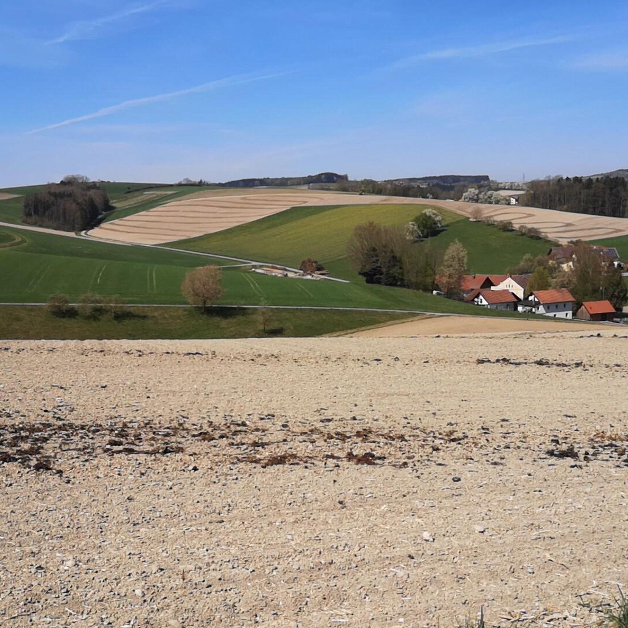
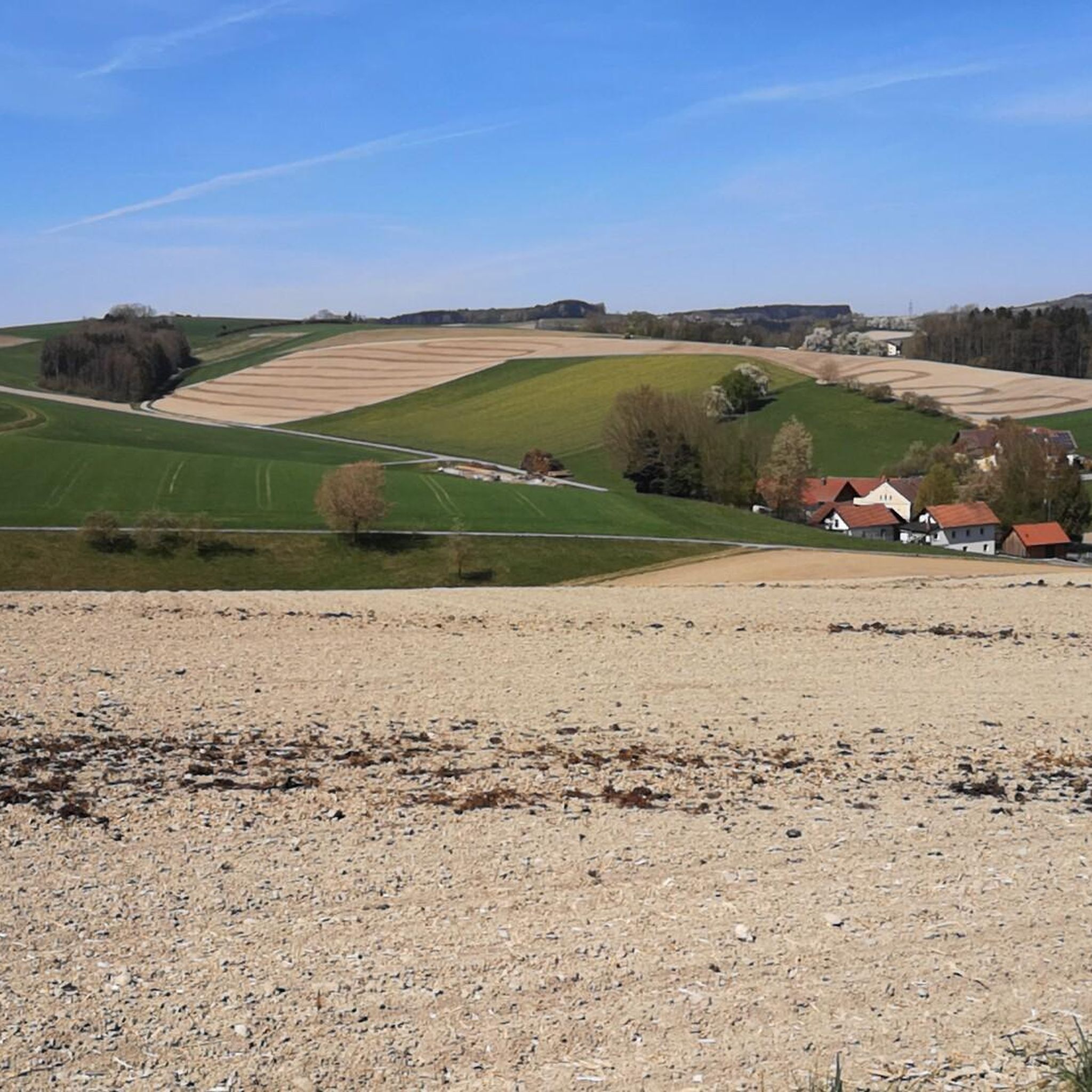
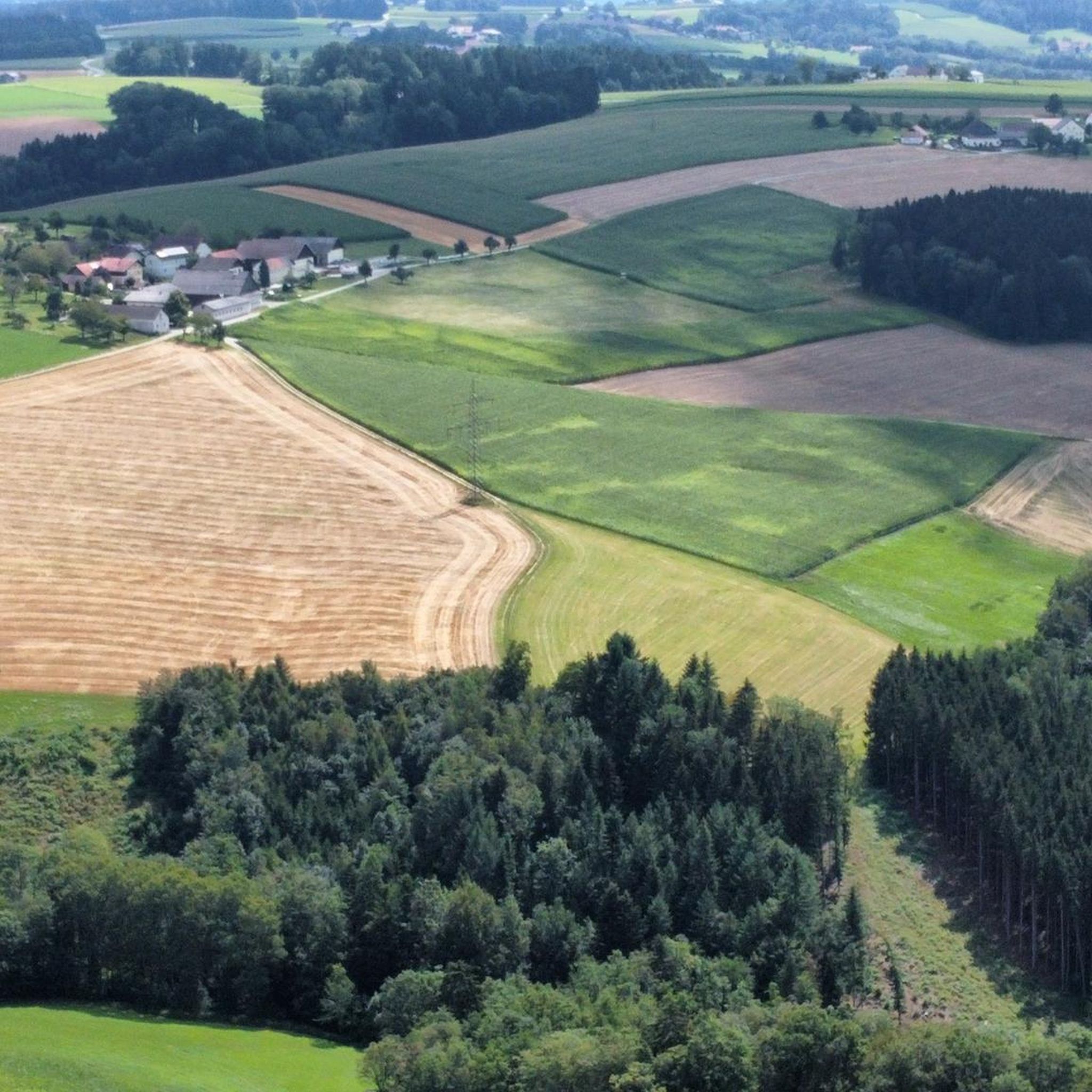
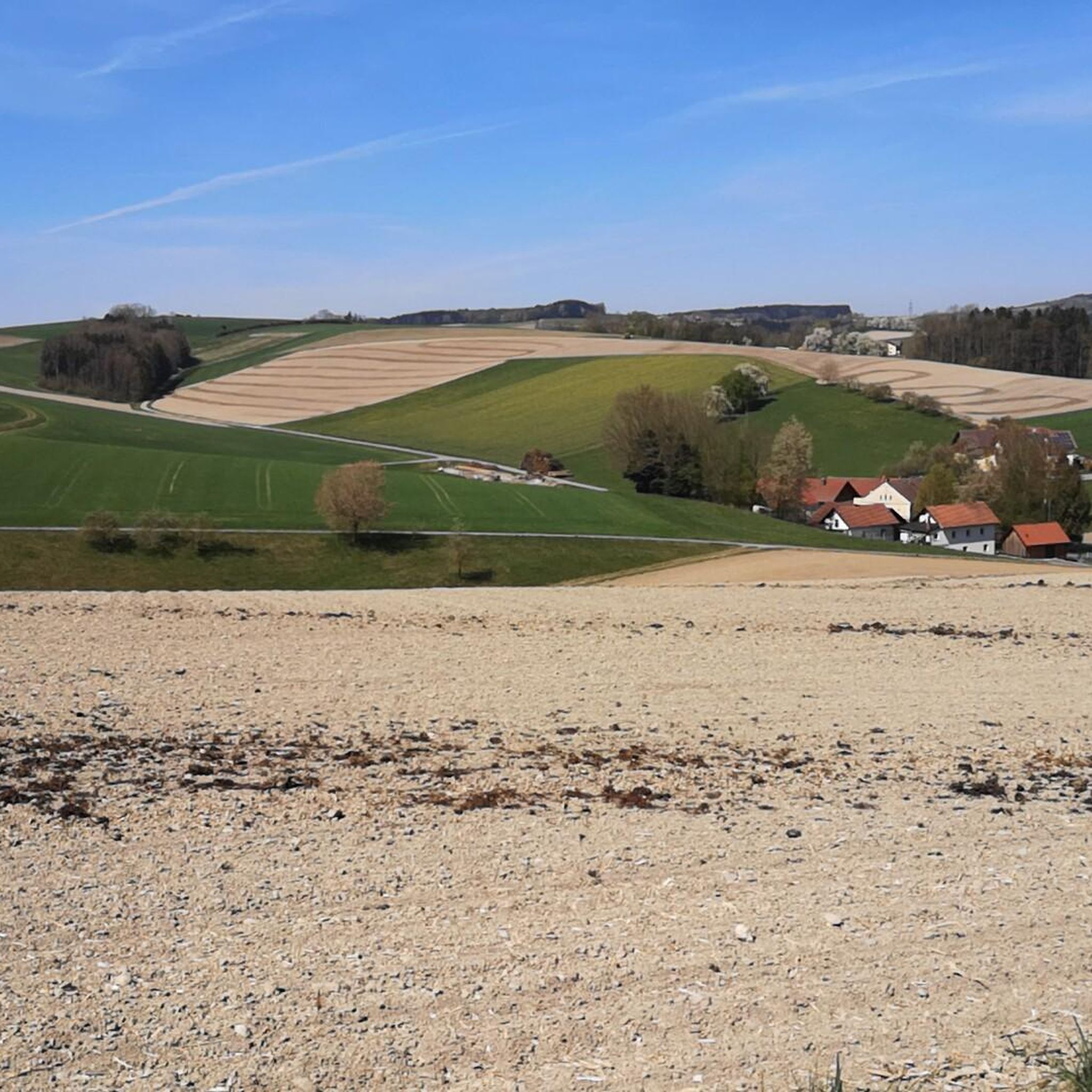
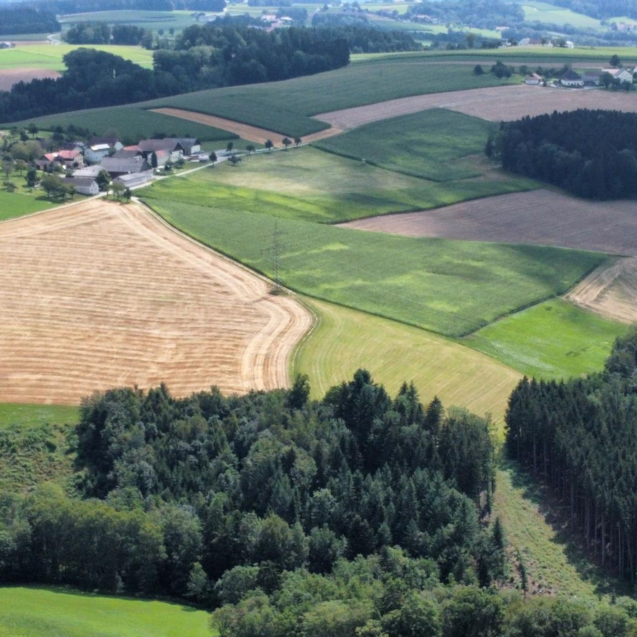
Best mountain peaks around Rainbach im Innkreis are found in the Innviertel region of Upper Austria, characterized by rolling hills and green meadows. The municipality itself features elevations up to approximately 594 meters. The area provides diverse hiking opportunities through its countryside. The Haugstein Summit, at 895 meters, is a prominent peak in the nearby Sauwald region, offering extensive views.
Best mountain peaks around Rainbach im Innkreis
- The most popular mountain peaks is Haugstein Summit (895 m), a summit…
Last updated: October 27, 2026
Haugstein Summit (895 m)
Highlight • Summit
Translated by Google •
Tip by

Turnstein – Highest Point in Natternbach
Highlight • Summit
Translated by Google •
Tip by

Sign up now to discover places like this
Get recommendations on the best single tracks, peaks, & plenty of other exciting outdoor places.
Ameisberg Summit (729 m)
Highlight • Summit
is called Hochholzstein by the local population and has been a popular excursion …
Translated by Google •
Tip by

Ascent via Goderkogel to Haugstein
Highlight • Trail
Translated by Google •
Tip by
Fronberg (592 m) Observation Tower and View
Highlight • Viewpoint
Translated by Google •
Tip by
Sign up for free to discover even more peaks around Rainbach im Innkreis.
Already have an account?
Start today with a free account
Your next adventure awaits.
Tips from the Community

Small viewpoint on the Fronberg
2
0
Observation tower in Schardenberg
2
0

Tower has unfortunately collapsed
0
0

The highest point of Natternbach with a rest area and a wonderful view
1
0

The Fronberg is a 592 m above sea level mountain in the Sauwald in Upper Austria. It is located in the municipality of Schardenberg and is one of Passau's local mountains.
0
0
View from Fronberg 592m to Esternberg
0
0
Great trail descent towards Vichtenstein
0
0

Unfortunately the tower no longer exists as it collapsed
1
0
Frequently Asked Questions
Which mountain peaks offer the best panoramic views around Rainbach im Innkreis?
For extensive panoramic views, the Haugstein Summit (895 m) is highly recommended. From its peak, you can often see across the Danube valley and even towards Bavaria. Another great spot is Turnstein – Highest Point in Natternbach, which offers views as far as the Alps.
Are there any family-friendly mountain peaks or trails near Rainbach im Innkreis?
Yes, Turnstein – Highest Point in Natternbach is considered family-friendly and can even be easily reached by mountain bike. It also has a bench for resting. The general landscape of rolling hills and meadows around Rainbach im Innkreis offers diverse hiking opportunities suitable for various skill levels, including easier strolls.
What is the highest point in the immediate vicinity of Rainbach im Innkreis?
While Rainbach im Innkreis itself features elevations up to approximately 594 meters, the most notable and highest point in the nearby Sauwald region, easily accessible from Rainbach im Innkreis, is the Haugstein Summit (895 m). It is the highest mountain in the Sauwald and along the Donausteig trail.
What kind of hiking opportunities are available near Rainbach im Innkreis?
The region offers diverse hiking opportunities through its rolling hills and along the Inn River, suitable for various skill levels. For more challenging routes, consider the Ascent via Goderkogel to Haugstein, which features steep climbs and forest landscapes. For general hiking, you can explore numerous trails listed in the Hiking around Rainbach im Innkreis guide.
Are there any challenging mountain routes for experienced hikers?
Yes, the Ascent via Goderkogel to Haugstein is known for its demanding sections and steep climbs through a beautiful forest landscape, making it suitable for experienced hikers. Some parts may require dismounting if you are mountain biking due to forestry.
What is unique about the Ameisberg Summit?
The Ameisberg Summit (729 m) is the highest point of the Ameisberg. It features a distinctive 10-meter vertical rockfall on its south side, locally known as Hochholzstein, and has been a popular excursion and hiking destination for generations due to its great views and quiet, sheltered spots for rest.
What other outdoor activities can I do near the mountain peaks around Rainbach im Innkreis?
Besides hiking, the area around Rainbach im Innkreis is excellent for mountain biking. You can find various routes, including moderate to difficult trails, in the MTB Trails around Rainbach im Innkreis guide. There are also dedicated Running Trails around Rainbach im Innkreis for joggers.
What can I expect from the Fronberg Observation Tower?
The Fronberg (592 m) Observation Tower and View offers a small but rewarding climb to the top, providing a pleasant viewpoint in Schardenberg. It's a good spot for a quick visit and to enjoy the surrounding scenery.
What is the best time of year to hike the mountain peaks in this region?
The region's rolling hills and forests are beautiful throughout the warmer months, from spring to autumn. Autumn, in particular, offers stunning foliage. While winter hiking is possible, conditions can vary, so it's always best to check local weather and trail conditions for specific peaks like Haugstein, especially if snow or ice is present.
Are there any historical or cultural sites near the mountain peaks?
While the mountain peaks themselves are primarily natural attractions, the broader Innviertel region has a rich history. For instance, the Haugstein Summit is part of the Sauwald, which is the largest part of the Bohemian Massif south of the Danube, an area with historical significance. For more general information about the municipality, you can visit the Wikipedia page for Rainbach im Innkreis.
What do visitors enjoy most about the mountain peaks around Rainbach im Innkreis?
Visitors frequently praise the extensive panoramic views from peaks like Haugstein and Turnstein, with many appreciating the opportunity to see as far as the Alps. The quiet, sheltered spots for rest, the natural forest landscapes, and the overall scenic beauty of the region's trails are also highly valued by the komoot community.
Most popular routes around Rainbach im Innkreis
Most popular attractions around Rainbach im Innkreis

Get inspired with the komoot mobile app


Explore more
See even more amazing summits around Rainbach im Innkreis with these guides:
