The 6 Most Amazing Peaks around Oberderdingen
Best mountain peaks around Oberderdingen are characterized by rolling hills, extensive vineyards, and dense forests rather than towering peaks. The region, situated at the confluence of the Kraichgau and Stromberg, offers numerous high points and viewpoints. The maximum elevation in the area is approximately 406 meters, providing scenic vistas and hiking opportunities. This topography is often referred to as the "land of 1,000 hills," presenting elevated areas that form part of extensive hiking networks.
Best mountain peaks around Oberderdingen
- The…
Last updated: August 20, 2026
St. Ottilien Chapel on the Ottilienberg
Highlight • Religious Site
Showing Translation
Tip by

View from Derdinger Horn
Highlight • Viewpoint
Showing Translation
Tip by

Sign up now to discover places like this
Get recommendations on the best single tracks, peaks, & plenty of other exciting outdoor places.
Sign up for free
Schlierkopf Summit
Highlight • Summit
Translated by Google •
Tip by
St. Michael's Chapel
Highlight • Religious Site
Translated by Google •
Tip by

Alte Burg Hillfort (379 m)
Highlight • Historical Site
Translated by Google •
Tip by

Sign up for free to discover even more peaks around Oberderdingen.
Sign up for free
Already have an account?
Start today with a free account
Your next adventure awaits.
Login or Signup
Popular around Oberderdingen
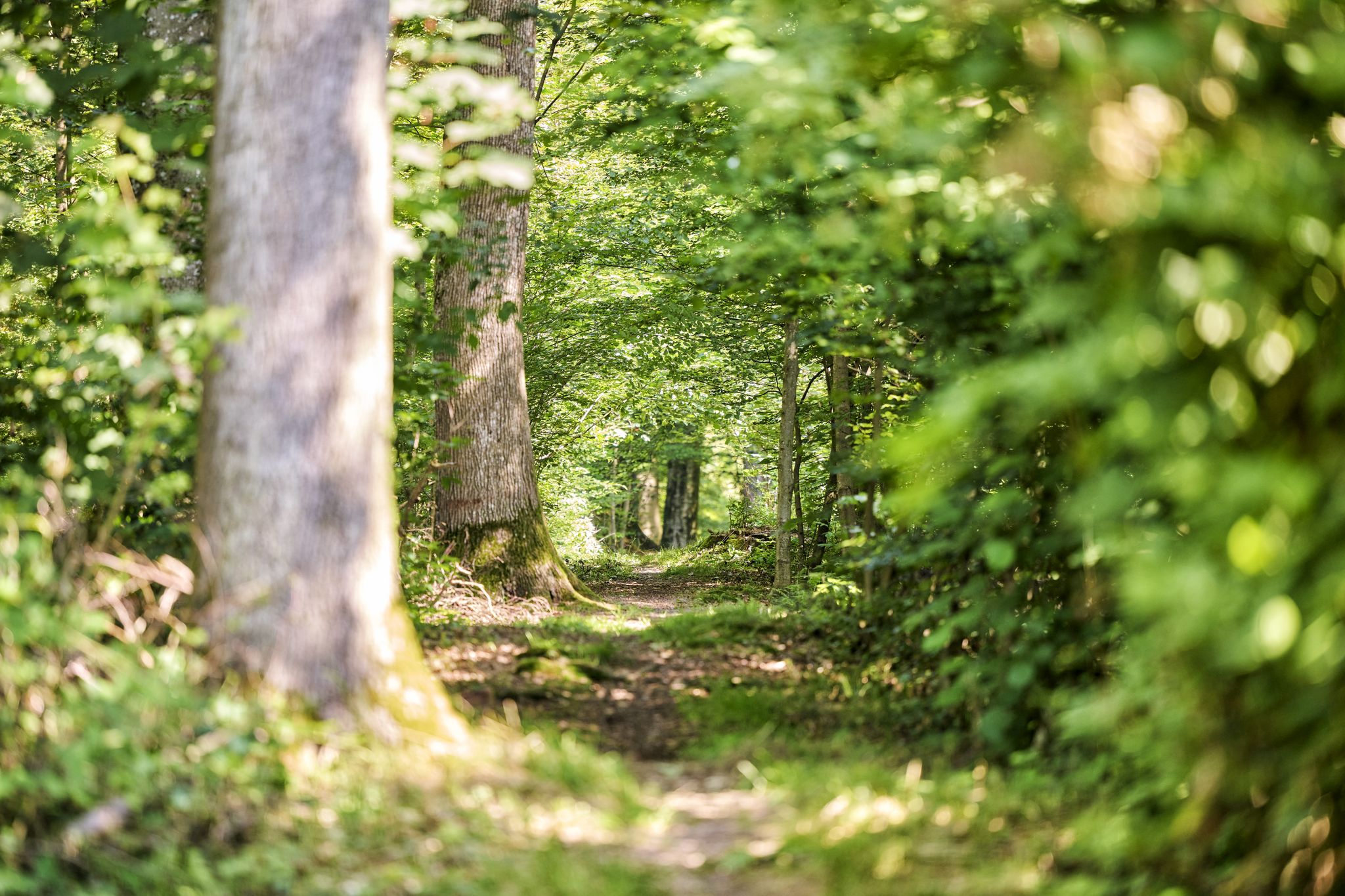
Trail running between woodlands & wine in the Land of 1000 Hills
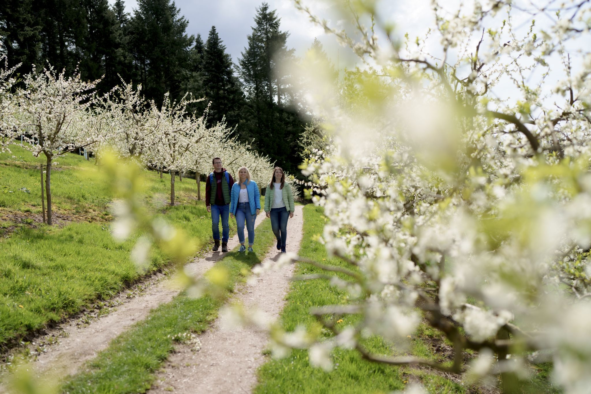
Hiking between Baden's vineyards, wildflowers & green lizards
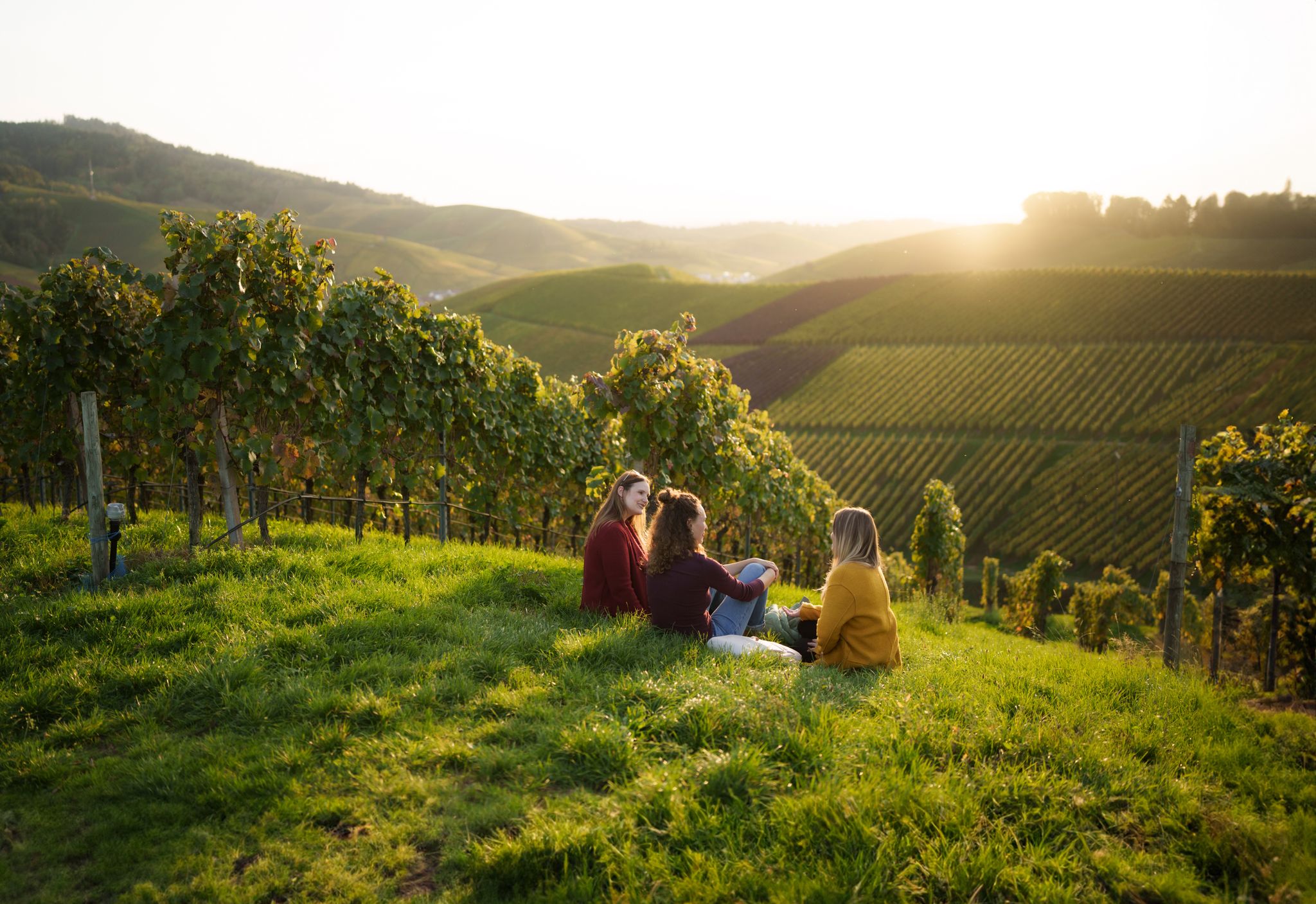
Picnics, wine and wide views – along the Baden Wine Route

Oases of calm – hill sofas in the land of 1,000 hills
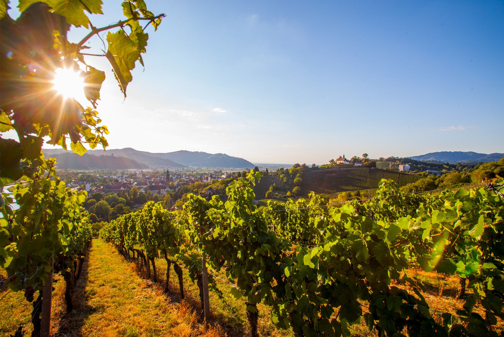
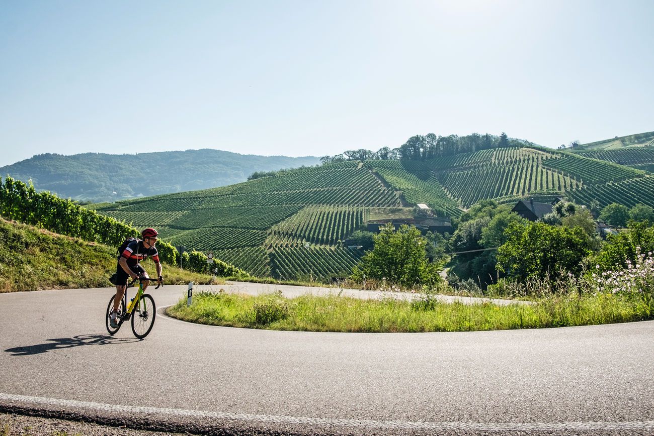
Right the Black Forest, left the Rhine – the Baden Wine Cycle Route
Von Heidelberg nach Basel: Vier Tage mit TOUR auf dem Badischen Weinradweg

Spring in the land of 1,000 hills – Kraichgau-Stromberg in Germany
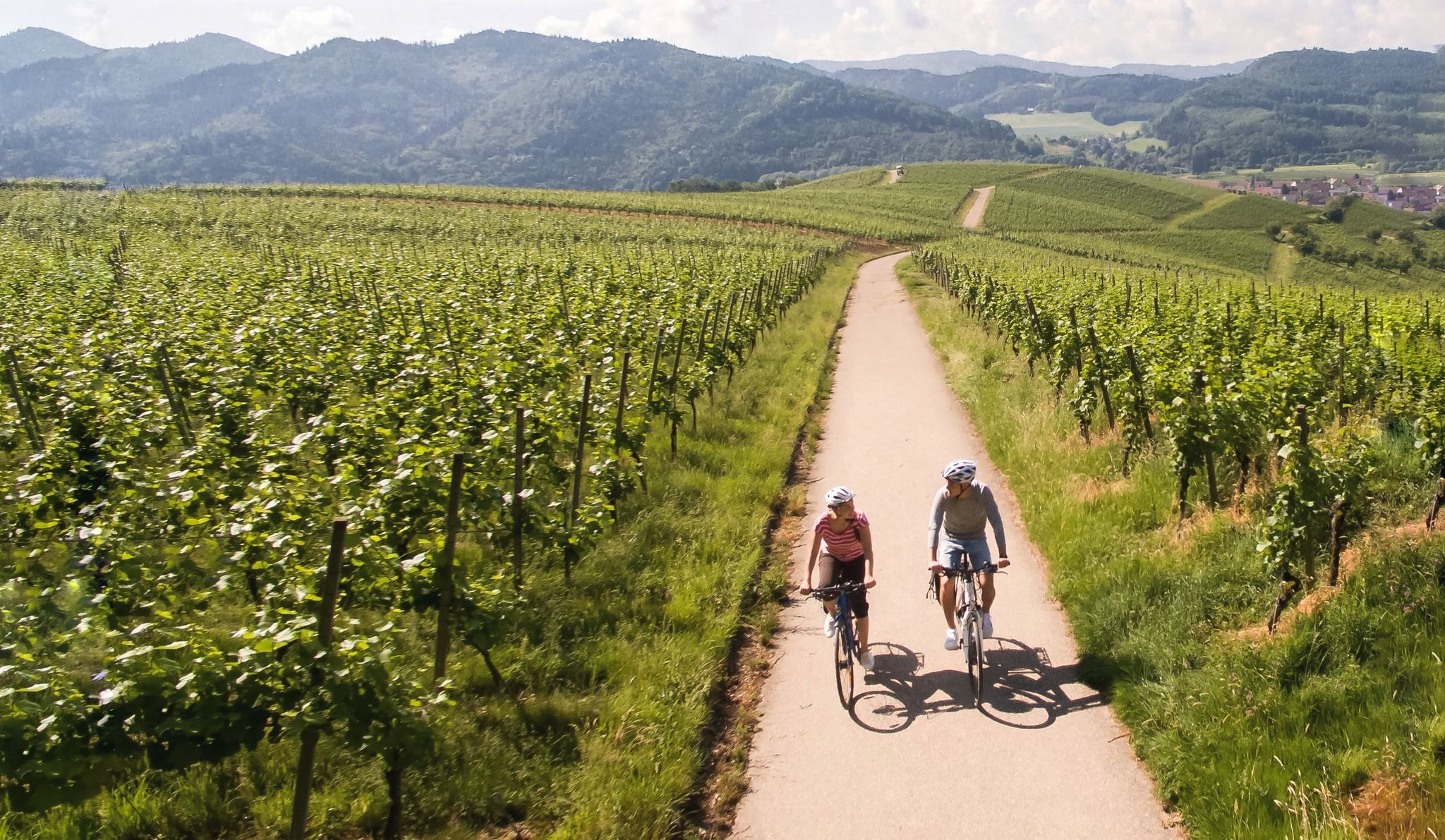
Vineyards and the Rhine Valley – the Baden Wine Cycle Route
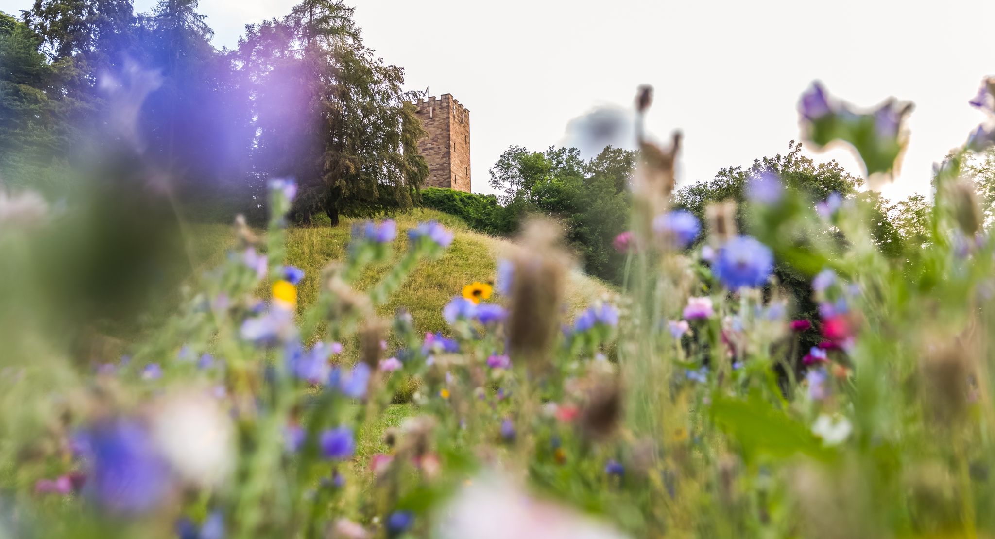
On foot in the nature park Stromberg-Heuchelberg
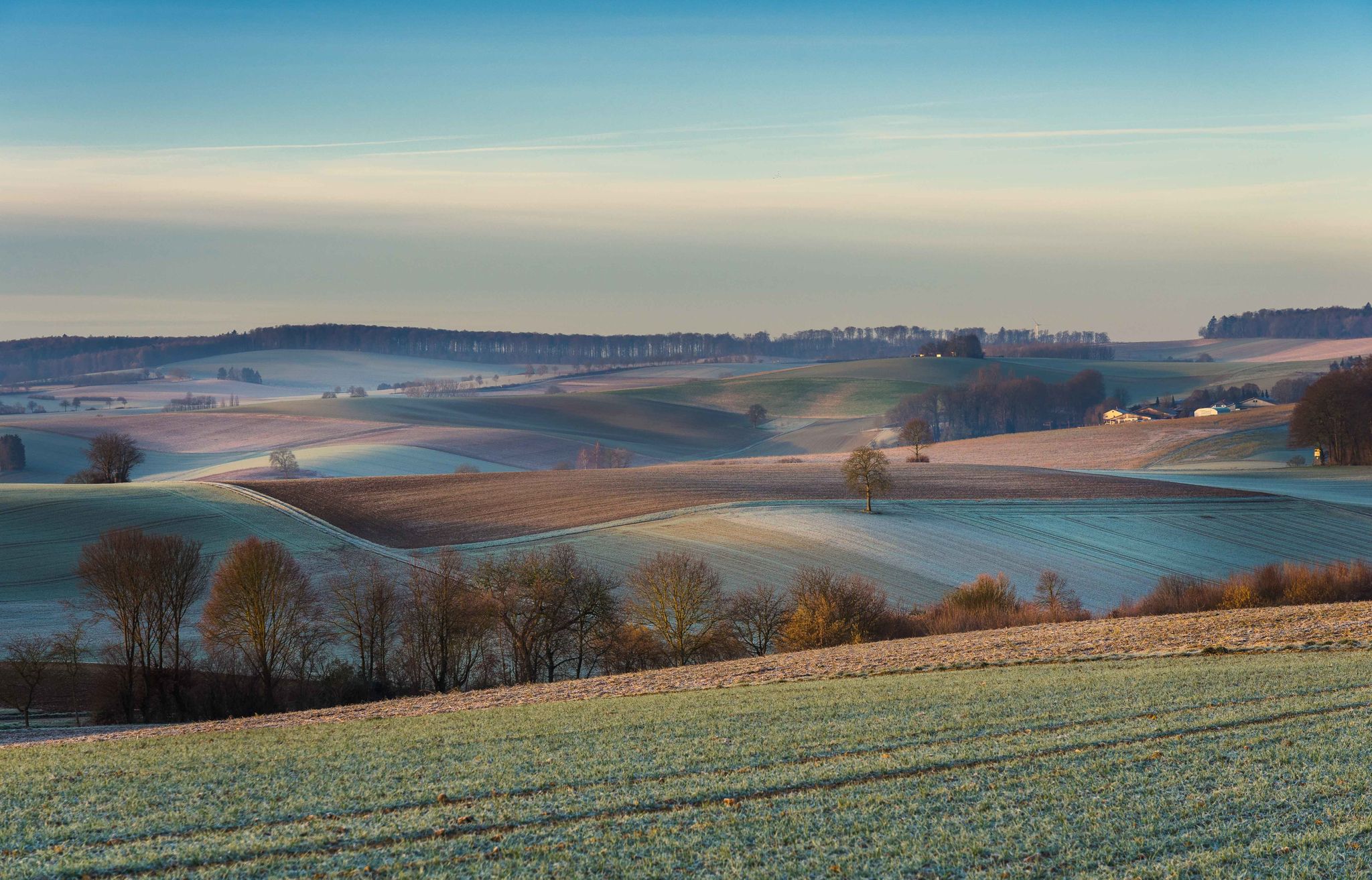
From hill to hill – hikes in Kraichgau-Stromberg
Other adventures around Oberderdingen


Tips from the Community


The way up to Ottilienberg leads along a small steep path.
12
0
A new consecration and thus a new building of the chapel is recorded from the period around 1462/65. It probably consisted of the present choir with the beautiful star vault and the tower with antechamber and sacristy extension. A few years later, the current ruined nave was probably added. From earlier times, a "forest brother" or hermit is believed to have lived in the building next to the chapel. During the Reformation, all the sculptures were destroyed and the chapel closed. The "forest brother" became a "forest servant". The chapel survived the Thirty Years' War unscathed. In connection with the expansion of the Eppingen lines in 1695 - 1697, the chapel tower was given the function of a charter and was raised. In the 18th century, pilgrimages to the chapel ruins were again made from Eppingen. In 1771, the chapel was still completely intact, but without a roof. Due to agricultural use, the nave was demolished in the 19th century, except for a remnant in the west. In the last days of the war in 1945, the property next to the chapel was destroyed and the chapel was set on fire. In 1955, the city undertook extensive renovation and restoration of the chapel ruins. (Source: www.kath-eppingen.de)
9
0
Once a month - usually on the first Sunday of the month from 11 a.m. to 5 p.m. - the German Alpine Club, Eppingen district group, opens and manages the Ottilienberg tower.
20
1

The DAV Eppingen local group's hiking hut is currently open on the first Sunday of every month, whatever the weather.
10
0

nice little chapel on tour
4
1

The "summit" is a must to "tick off"! There are great trails all around in a great area👍. "Seltsamonskis" just tick it off with "annoying constant liking"🤣
4
1

Unfortunately, there is hardly anything to see of the old castle
0
3
Frequently Asked Questions
What are some popular high points or viewpoints in the Oberderdingen region?
While Oberderdingen doesn't have traditional towering mountain peaks, it offers several popular high points and viewpoints. Notable spots include the View from Derdinger Horn, which provides panoramic vistas, and the St. Ottilien Chapel on the Ottilienberg, known for its historical significance and pleasant surroundings. Another elevated area is the Schlierkopf Summit, part of the Stromberg ridge.
Are there any historical sites among the elevated areas in Oberderdingen?
Yes, several elevated areas in Oberderdingen have historical significance. The St. Ottilien Chapel on the Ottilienberg is a pilgrimage site with a chapel built in the 15th century. Another historical high point is the St. James Chapel on Kapellenberg (Eichelberg), dedicated to Archangel Michael. You can also explore the Alte Burg Hillfort (379 m), which holds remains of a Celtic settlement.
What kind of views can I expect from the high points around Oberderdingen?
From the high points around Oberderdingen, you can expect expansive and diverse views. For instance, the View from Derdinger Horn offers a beautiful panoramic outlook over the Kraichgau and the adjacent Odenwald, including vineyards and distant landmarks like the Steinsberg. The region is characterized by rolling hills, vineyards, fruit orchards, and dense forests, providing picturesque scenery that changes with the seasons.
Are there family-friendly options for exploring the elevated areas near Oberderdingen?
Yes, many of the elevated areas and their surrounding trails are suitable for families. The area around the View from Derdinger Horn is part of a forest adventure trail and the popular 'Derdinger Horn circular hike,' which is considered moderate and accessible. The St. Ottilien Chapel on the Ottilienberg also features a hut and barbecue area, making it a pleasant stop for families.
What are the best times of year to visit the high points and trails in Oberderdingen?
The Oberderdingen region is beautiful throughout the year, but particularly appealing in spring when the fruit orchards bloom, and in autumn when the vineyards display vibrant colors. The diverse landscapes of vineyards, forests, and rolling hills offer changing vistas that are enjoyable in different seasons. Always check local weather conditions before heading out.
Are there challenging routes for experienced hikers in the Oberderdingen area?
While many trails are moderate, some routes offer more challenge. For example, the descent from the Schlierkopf Summit to the Katzenbachsee is known for its challenges, including ravines and potentially slippery sections in wet weather. The Alte Burg Hillfort (379 m) is also categorized as challenging due to its terrain.
What outdoor activities can I do near the high points in Oberderdingen?
The region around Oberderdingen's high points is excellent for various outdoor activities. You can enjoy extensive hiking on trails like the 'Derdinger Horn circular hike' or the 'OD3 - Bernhardsweiher Tour.' There are also numerous running trails, including the 'Hornrunde – elevation gain with guaranteed views.' For cyclists, the area offers road cycling routes such as the 'Gochsheim Castle – Ravenburg Tower and Vineyard loop.' You can find more details on these activities in the Hiking around Oberderdingen, Running Trails around Oberderdingen, and Road Cycling Routes around Oberderdingen guides.
Where can I find parking for trails leading to these elevated areas?
Many popular trailheads and high points in the Oberderdingen area offer designated parking. For instance, the 'Derdinger Horn circular hike' connects to the 'Horn hiking car park,' providing convenient access. Specific parking information is often available on local trail maps or within individual tour descriptions on Komoot.
Are there any unique natural features to look out for in the Oberderdingen region?
Yes, the Oberderdingen region, often called the 'land of 1,000 hills,' boasts several unique natural features. Beyond the rolling hills and extensive vineyards, you'll find dense forests, tranquil lakes like Kraichsee and Bernhardsweihersee, and historic dry stone walls. The meadow orchard adjacent to the St. Ottilien Chapel on the Ottilienberg is also a notable natural highlight.
How long do hikes to the high points near Oberderdingen typically take?
Hike durations vary depending on the specific route and your pace. For example, the popular 'Derdinger Horn circular hike,' which includes the View from Derdinger Horn, is a moderate 8.2-mile (13.2 km) trail that typically takes around 3 hours and 35 minutes to complete. Shorter, easier walks are also available, such as the 'OD3 - Bernhardsweiher Tour,' which is about 4 km.
What do visitors enjoy most about the elevated areas around Oberderdingen?
Visitors particularly enjoy the diverse landscapes, including vineyards, fruit orchards, and forests, which offer beautiful changing vistas throughout the year. The panoramic views from spots like the View from Derdinger Horn are highly appreciated. The combination of accessible trails, historical sites like the St. Ottilien Chapel on the Ottilienberg, and well-maintained rest stops contributes to a rewarding outdoor experience.
Most popular routes around Oberderdingen
Most popular attractions around Oberderdingen

Get inspired with the komoot mobile app


Explore more
See even more amazing summits around Oberderdingen with these guides:
