Top 5 Caves around Neunkirchen-Seelscheid
Best caves around Neunkirchen-Seelscheid are found within a region characterized by its natural landscapes, including river valleys and forested areas. This area of the Rhein-Sieg-Kreis offers diverse geological features and historical sites. Visitors can explore various underground formations, from natural caves to historical mine tunnels. The local terrain provides a setting for outdoor exploration and discovery.
Best caves around Neunkirchen-Seelscheid
- The most popular caves is Bat Cave on the River Agger, a cave that offers a very nice path…
Last updated: July 10, 2026
Cave entrance and fossil site near Ehreshoven-Vilkerath
Highlight • Cave
Translated by Google •
Tip by

Bat Cave on the River Agger
Highlight (Segment) • Cave
Translated by Google •
Tip by

Sign up now to discover places like this
Get recommendations on the best single tracks, peaks, & plenty of other exciting outdoor places.
Sign up for free
Juliusstollen Mine Entrance
Highlight • Structure
Translated by Google •
Tip by

Cave and winter landscape in the Aggerbogen Landscape Garden
Highlight • Cave
Translated by Google •
Tip by

Nativity Scene in the Rock
Highlight • Cave
Translated by Google •
Tip by

Start today with a free account
Your next adventure awaits.
Login or Signup
Popular around Neunkirchen-Seelscheid
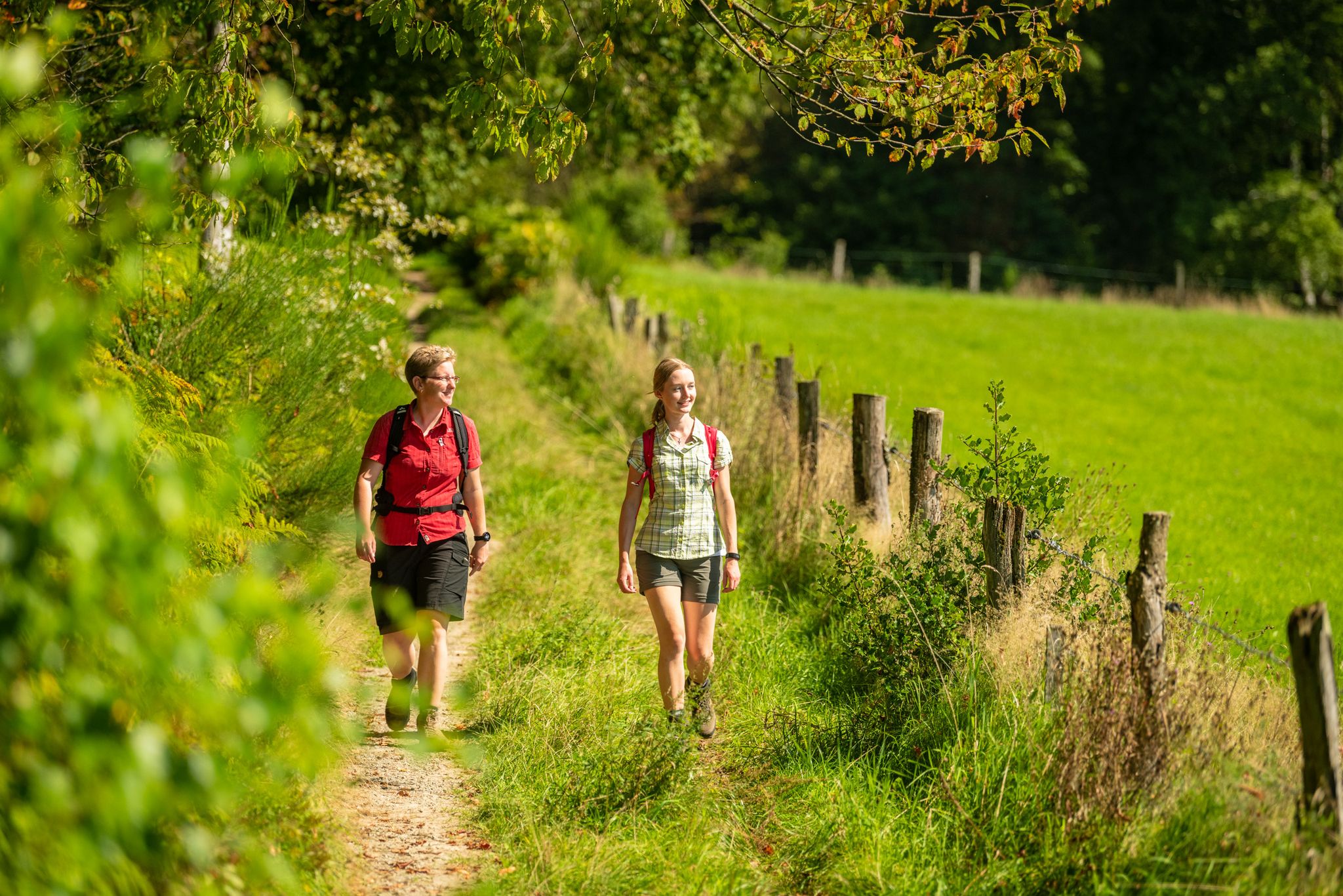
Bergische Rambles – themed and adventure trails in the Bergisches Land region
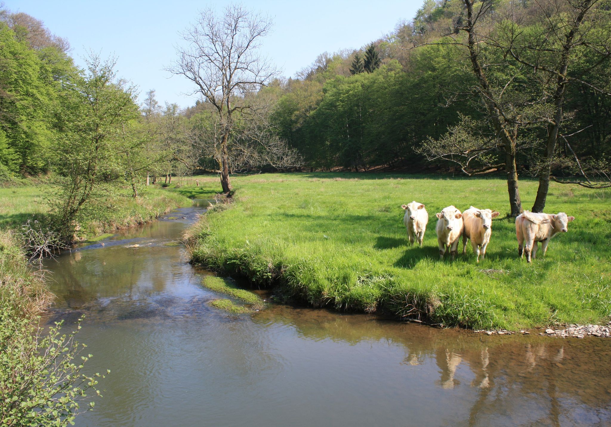
Nature and culture in beautiful landscapes – hikes on the Rhine and Sieg
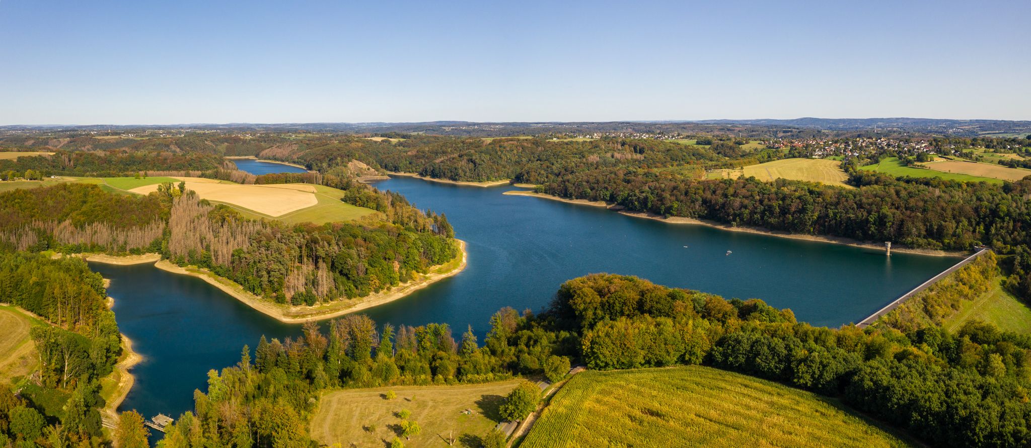
The Bergische Weg - Germany's most beautiful hiking trail 2024
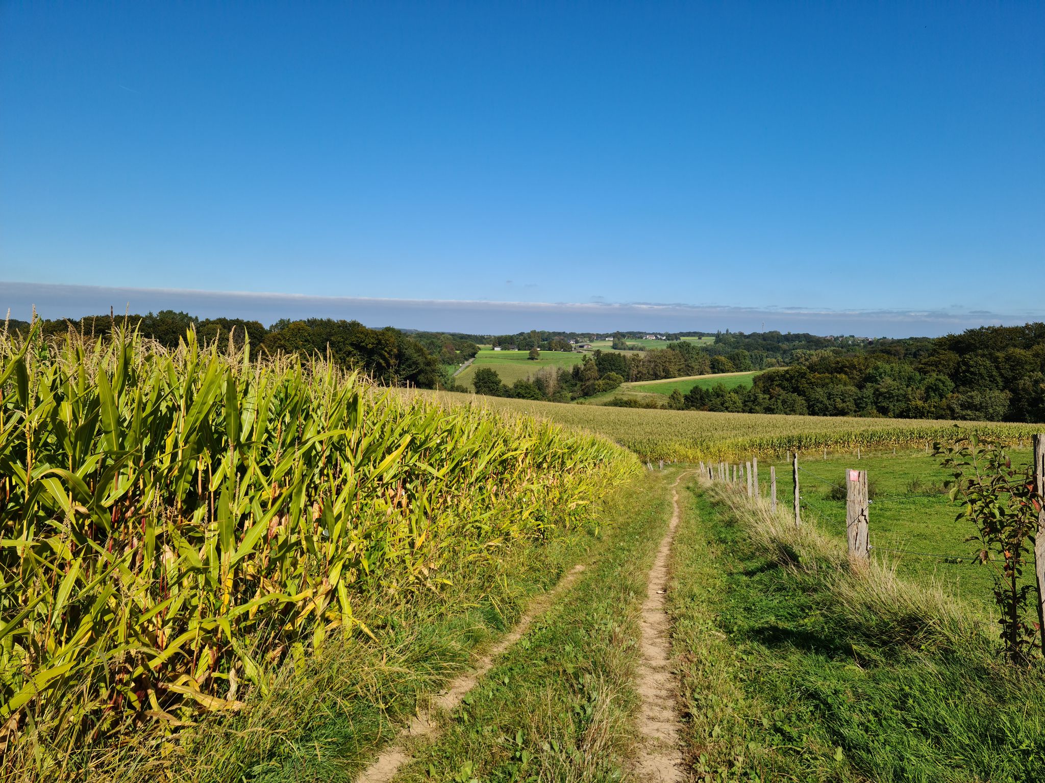
Rambles and hikes in Bergisches Land
Hiking around Neunkirchen-Seelscheid
Cycling around Neunkirchen-Seelscheid
MTB Trails around Neunkirchen-Seelscheid
Running Trails around Neunkirchen-Seelscheid
Road Cycling Routes around Neunkirchen-Seelscheid
Gravel biking around Neunkirchen-Seelscheid
Other adventures around Neunkirchen-Seelscheid


Tips from the Community

<< Ruppichteroth Iron Age >> By Nicolas Ottersbach | January 3, 2020 | Magazine "When mining began in Ruppichteroth is no longer known exactly. But its significance for the town is known. A sign at the roundabout in Ruppichteroth, right next to the former Juliusstollen, now provides information about this. Photos: The Juliusstollen from the inside and the inauguration of the information board [Klaus Steglich] You really have to look for it, the Juliusstollen. And that's despite being located in the middle of town. Hidden by trees and greenery, beneath meters of thick rock, it burrows more than 450 meters into the mountain at the roundabout in Ruppichteroth. Anyone trying to enter it faces a locked gate. It has long been inaccessible to visitors; after a few meters, a wall and a water pump block the way. This is where the underground water streams arrive and are then pumped to the waterworks. How difficult must it have been back then to control the masses of water?..." MORE INFORMATION ON: - Prosperity and Decline - Mining shaped the Landscape - Promoting the Land 👉 https://www.broeltal.de/nachrichten/artikel/ruppichterother-eisenzeit.html
1
0

At this (former) cave there is information about bats.
2
0

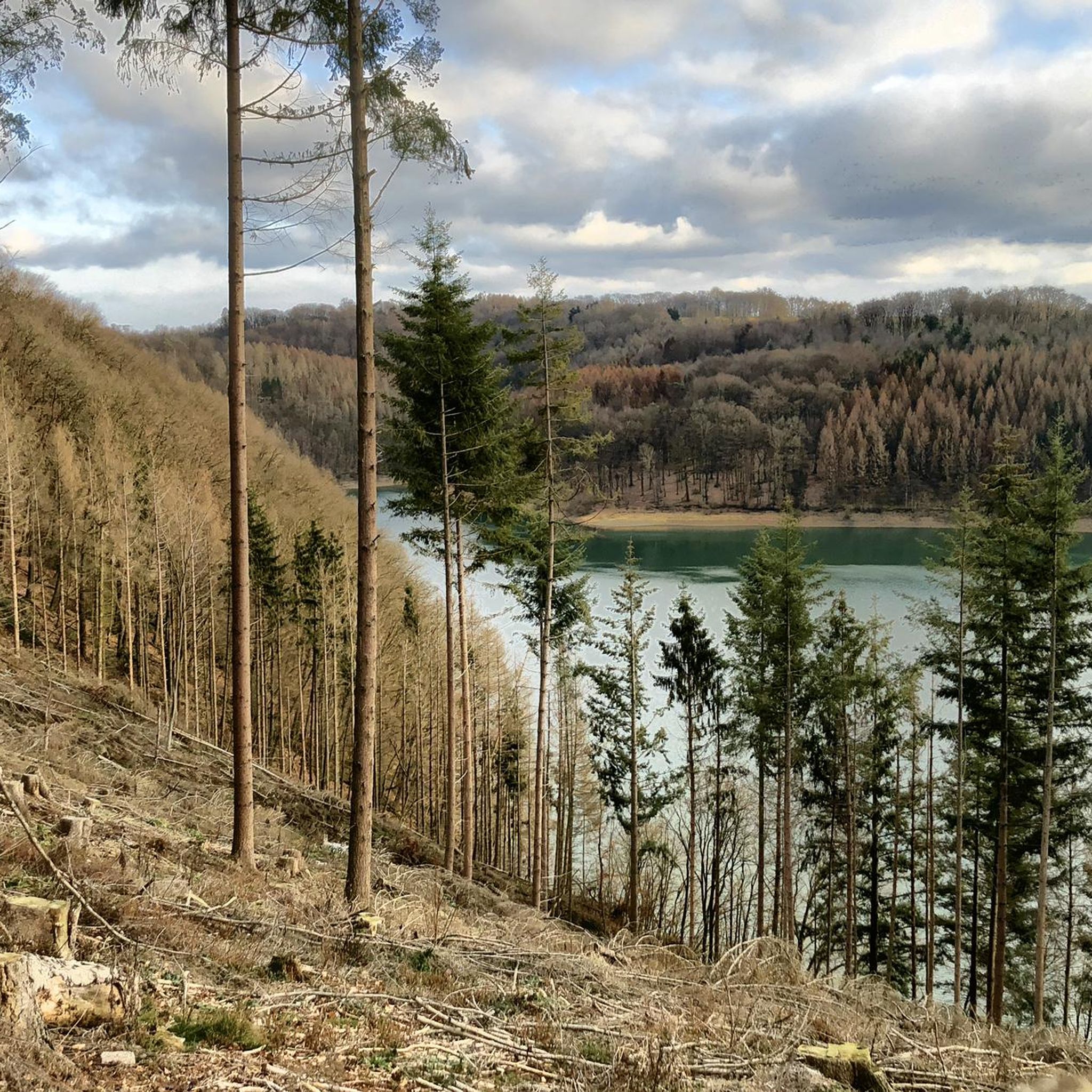
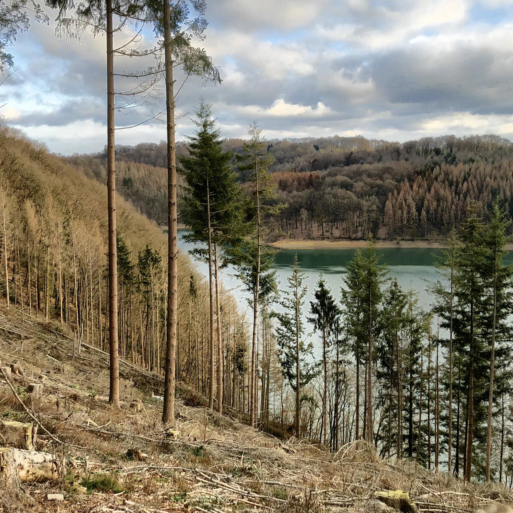
Various routes are possible - even in the rain. But sturdy hiking boots are important when it rains. There is a cave entrance (1st photo) and a wall with exposed debris. In it you can find fossils, lots of sandstone but also chunks of ore (3rd photo). The middle photo (No. 2) shows the view of the Aggertal near Ehreshoven-Vilkerath, which is definitely worth seeing.
0
0

The banks of the Agger are very diverse and therefore exciting 👍🏼
1
0
The landscaped garden is currently dressed in white.
3
0

Just great to be in nature
1
0
Some paths soon fall into oblivion and can then perhaps no longer be hiked...
1
0

Ruppichteroth was supplied with drinking water from the Julius tunnel until December 22nd, 1967
1
0
Frequently Asked Questions
What types of caves can I explore around Neunkirchen-Seelscheid?
The region offers a mix of natural caves and historical man-made structures. You can find natural geological formations like the Bat Cave on the River Agger, as well as historical sites such as the Juliusstollen Mine Entrance, which provides insight into the area's mining past.
Are there any show caves with guided tours near Neunkirchen-Seelscheid?
Yes, the Aggertalhöhle (Aggertal Cave) in nearby Engelskirchen is a significant show cave. It offers guided tours lasting 45 to 50 minutes, allowing visitors to explore approximately 270 meters of its unique geological formations.
What unique geological features can I expect to see in the caves?
The Aggertalhöhle is known for its diverse underground karst landscape, including fossilized marine life embedded in ancient coral banks and delicate aragonite speleothems. At the Cave entrance and fossil site near Ehreshoven-Vilkerath, you can observe an exposed wall where visitors often find fossils and sandstone.
Are there family-friendly cave options in the area?
Yes, the Nativity Scene in the Rock is a small, accessible cave featuring a nativity scene, making it a charming and family-friendly spot to visit. The Aggertalhöhle also has a wheelchair-accessible entrance and main corridor, making it suitable for families with strollers or those with mobility considerations.
What should I wear when visiting the caves, especially the Aggertalhöhle?
The Aggertalhöhle maintains a constant temperature of 6 to 8 degrees Celsius year-round. Therefore, warm clothing is highly recommended, even during summer months, to ensure a comfortable visit.
When is the best time to visit the Aggertalhöhle?
The Aggertalhöhle is typically open from April to November, Thursday to Sunday, and on public holidays. It's advisable to check their specific operating hours before planning your visit.
Are there historical sites related to mining in the region?
Yes, the Juliusstollen Mine Entrance is a significant historical site. This former mine tunnel once supplied drinking water to Ruppichteroth and offers a glimpse into the region's mining heritage.
Can I combine a cave visit with hiking?
Absolutely. The Aggertalhöhle is situated directly on the 'Cave Trail' (Höhlenweg), which is part of the Bergischer Streifzug hiking route. Additionally, the Bat Cave on the River Agger is along a very nice path by the Agger river, perfect for a stroll.
What other outdoor activities are available near the caves around Neunkirchen-Seelscheid?
Beyond cave exploration, the area offers various outdoor activities. You can find numerous hiking trails, including easy routes through the Naafbach Valley. There are also running trails and cycling routes that explore the scenic landscapes, such as those around the Wahnbachtalsperre Dam.
Are there any caves that offer views of the surrounding landscape?
Yes, the Cave entrance and fossil site near Ehreshoven-Vilkerath not only features an interesting cave entrance and fossil wall but also offers beautiful views of the Aggertal.
What is the 'Cave and winter landscape in the Aggerbogen Landscape Garden'?
This highlight, Cave and winter landscape in the Aggerbogen Landscape Garden, refers to a former cave site within a landscaped garden. It provides information about bats and is particularly picturesque when covered in snow during winter.
Most popular routes around Neunkirchen-Seelscheid
Most popular attractions around Neunkirchen-Seelscheid

Get inspired with the komoot mobile app


Explore more
Extend your search for the best caves by checking out these guides of the top ones around Neunkirchen-Seelscheid:
