The 6 Most Amazing Peaks around Hettstadt
Mountain peaks around Hettstadt are characterized by hills and elevated areas within the Würzburg district of Bavaria, Germany. The region is situated on the banks of the Main river and borders the Steigerwald Nature Park. While not known for towering mountains, the area features numerous elevated points, with Rainberg being the highest in the district at 403 meters. The historic Marienberg Fortress in Würzburg also provides an elevated experience with panoramic views.
Best mountain peaks around Hettstadt
- The most popular…
Last updated: June 26, 2026
Steinhöhe Summit Cross
Highlight • Summit
Translated by Google •
Tip by

Zeller Waldspitze
Highlight • Forest
Translated by Google •
Tip by

Sign up now to discover places like this
Get recommendations on the best single tracks, peaks, & plenty of other exciting outdoor places.
Sign up for free
Breitfeldhöhe Summit and Panoramic Viewpoint
Highlight • Summit
Translated by Google •
Tip by

Breitfeldhöhe – Highest Point Near Retzbach
Highlight • Summit
Translated by Google •
Tip by
Harvester Spur
Highlight (Segment) • Summit
Translated by Google •
Tip by

Start today with a free account
Your next adventure awaits.
Login or Signup
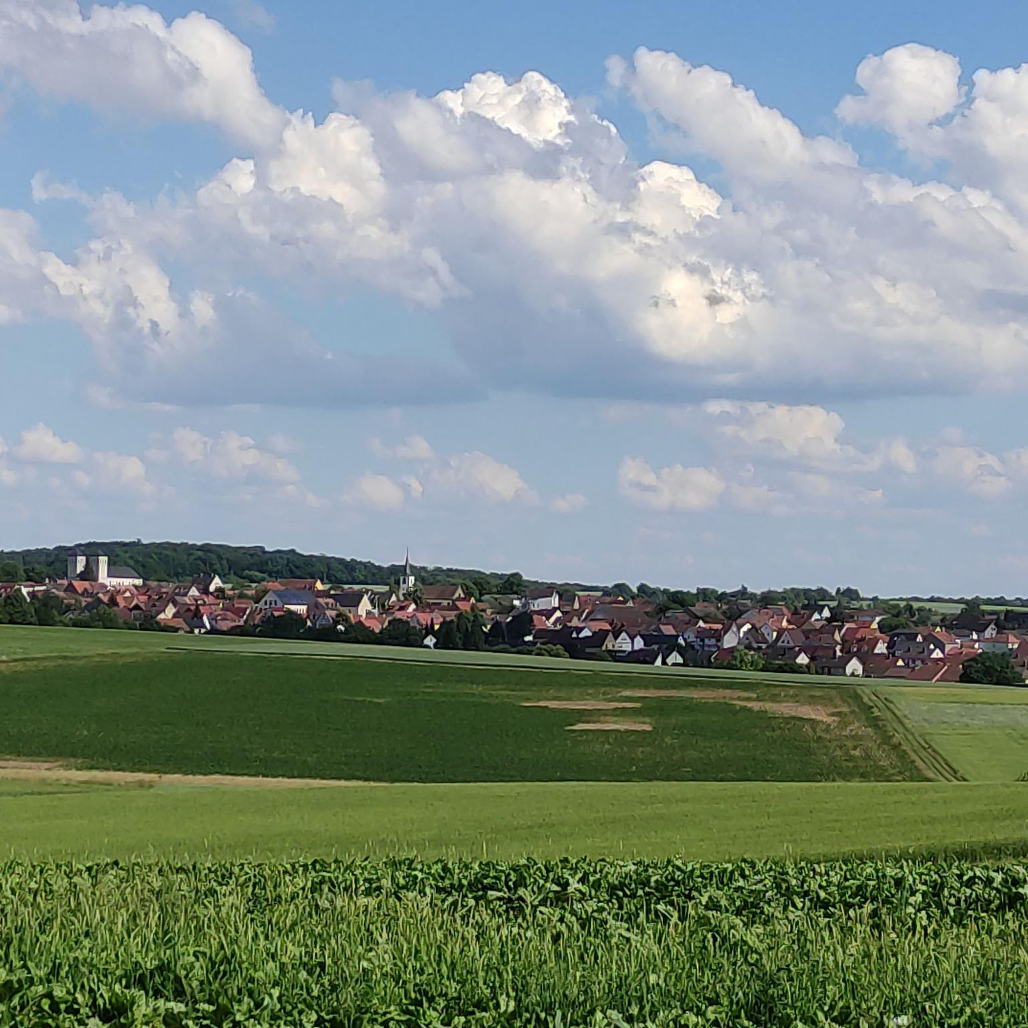
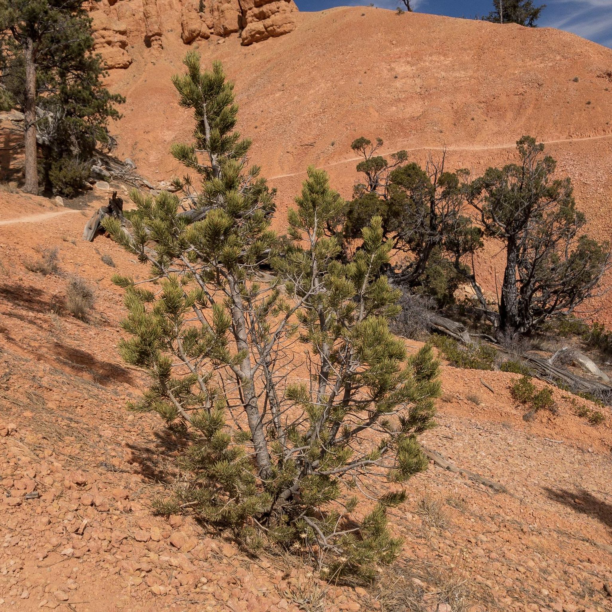
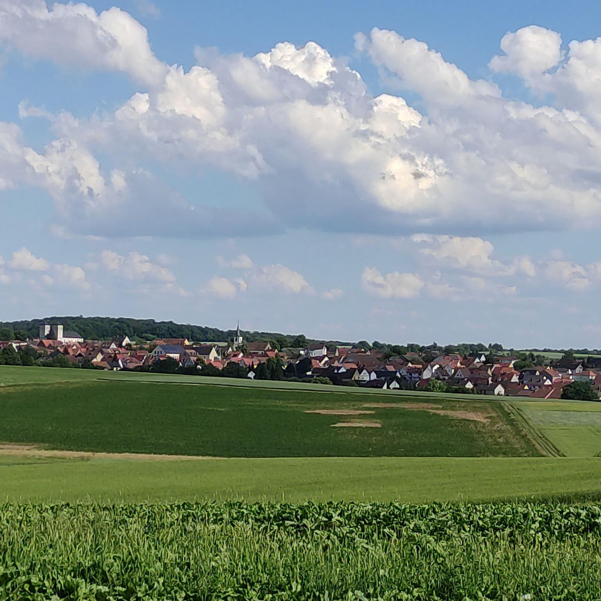
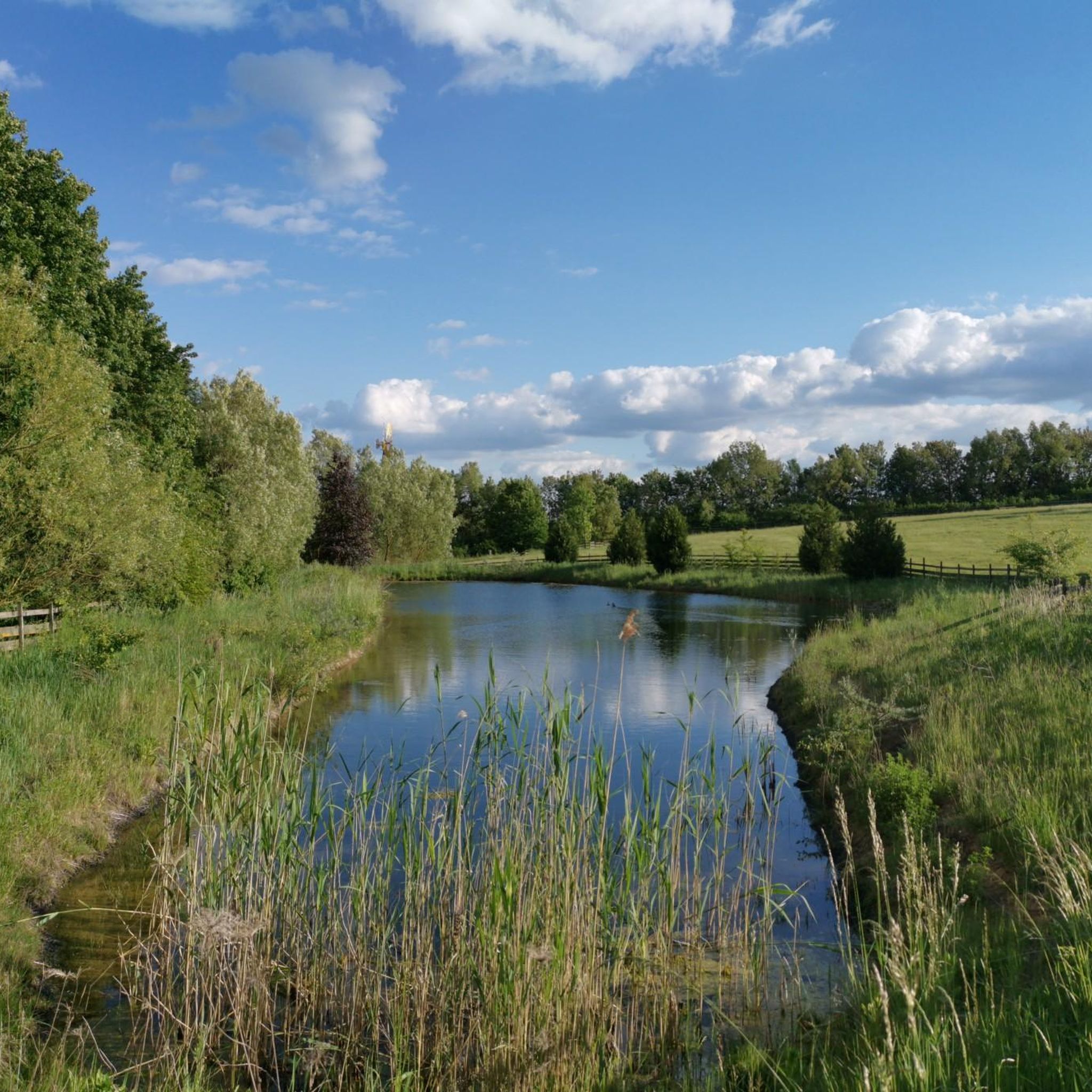
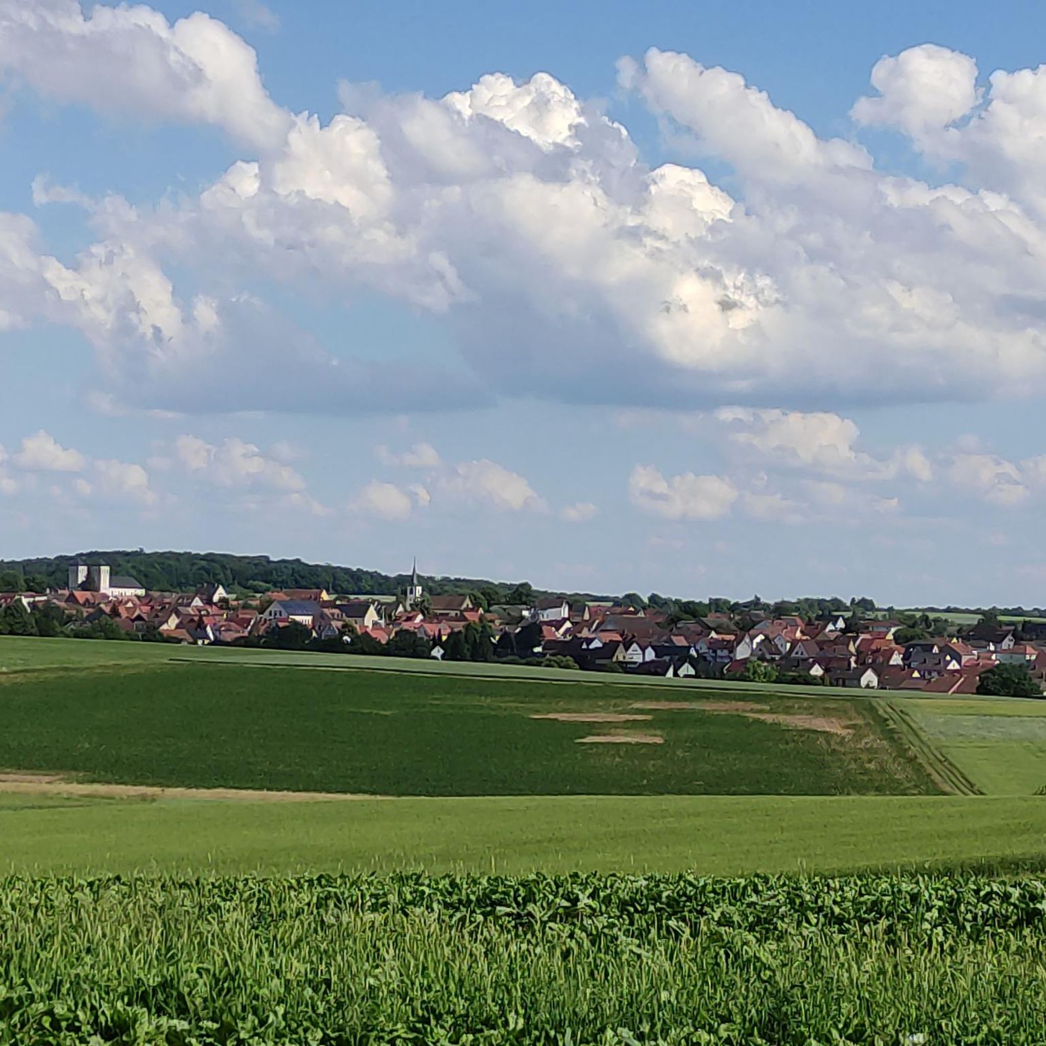
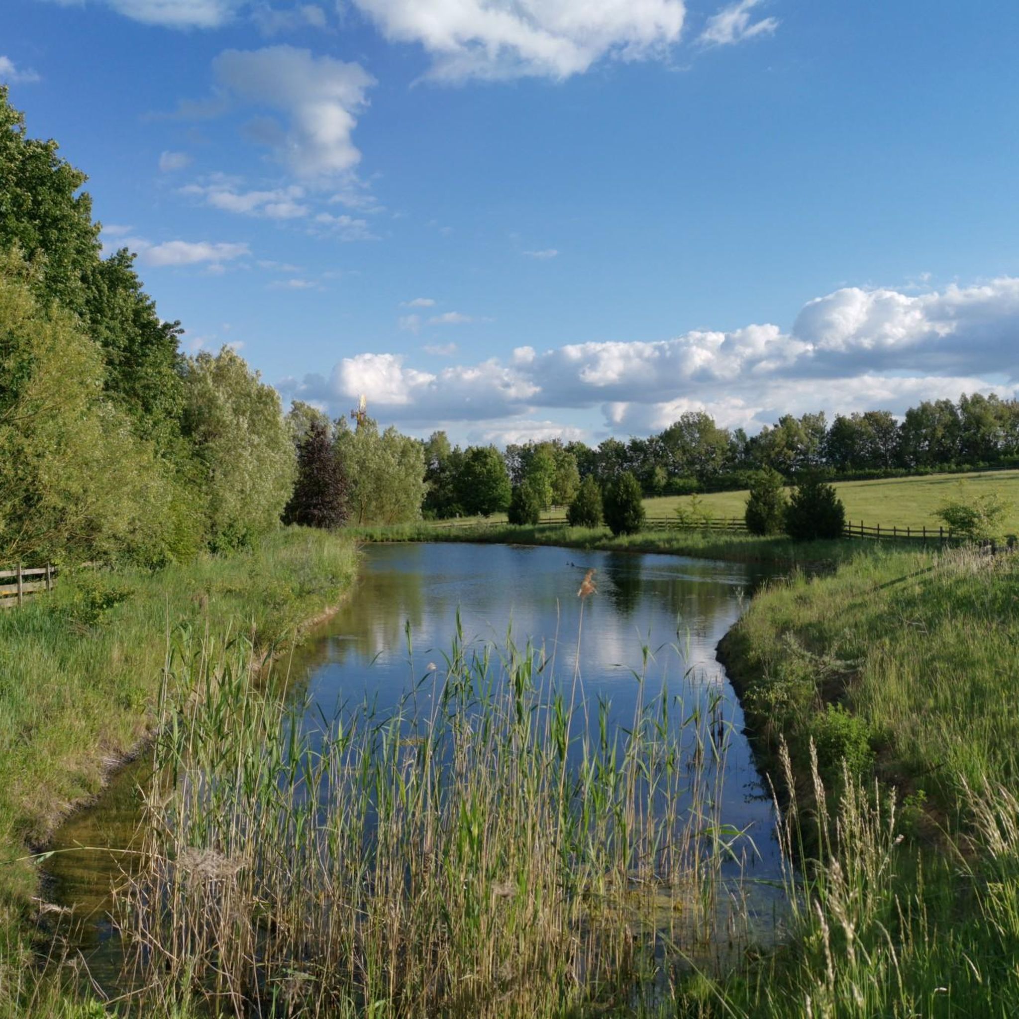
Tips from the Community

Beautiful singletrack trails, perfect for a relaxed run! And of course, it's wonderful to find a shelter to take a short break in the rain... ;-)
0
0

Summit cross – the highest point above the rooftops of Retzstadt. A bit hidden, but a lovely place to take a break. ☺️
0
0

Beautiful view of the many wind turbines 🥰
0
0

A great view here
2
0


Highest point in the Würzburg district. Orientation stone showing which town is in which direction.
0
0

Very nice surroundings The view is also beautiful, worth it
2
0
Frequently Asked Questions
What are the most popular elevated points around Hettstadt?
Visitors frequently enjoy the Steinhöhe Summit Cross, which is one of the highest elevations on the eastern slopes of the Main valley north of Würzburg, offering a height difference of about 215 meters to the Main. Another favorite is the Breitfeldhöhe Summit and Panoramic Viewpoint, known for its wide panorama of Spessart, Rhön, and Steigerwald.
What is the highest point in the Würzburg district near Hettstadt?
The highest natural elevation in the Würzburg district, where Hettstadt is located, is Rainberg, reaching an altitude of 403 meters (1,322 feet). While not a towering mountain, it is the most prominent peak in the immediate region.
Are there family-friendly elevated areas or viewpoints around Hettstadt?
Yes, several elevated points are suitable for families. The Steinhöhe Summit Cross and the Breitfeldhöhe Summit and Panoramic Viewpoint are both considered family-friendly. The Breitfeldhöhe – Highest Point Near Retzbach also offers great views and is suitable for families.
What kind of views can I expect from the elevated points in the region?
From elevated points like the Breitfeldhöhe Summit and Panoramic Viewpoint, you can expect extensive panoramas. This particular spot offers views over the Main valley and towards the Spessart, Rhön, and Steigerwald regions. The Breitfeldhöhe – Highest Point Near Retzbach also provides great all-round views across Franconia.
Are there any historical elevated landmarks near Hettstadt?
Yes, the Marienberg Fortress in Würzburg is a significant historical landmark built on an elevated 'mountain tongue' approximately 100 meters above the Main river. It offers expansive views of the city and is appreciated for its historical significance and baroque chapel.
What outdoor activities can I do near the elevated areas around Hettstadt?
The region around Hettstadt offers various outdoor activities. You can find numerous running trails, such as the 'Running loop from Hettstadt' or 'Tännig loop from Hettstadt'. For cycling enthusiasts, there are routes like the 'Wedding Garden Hettstadt – Eisingen Heights loop' and the 'Main River Riverside Path loop'. Mountain biking is also popular, with trails like 'Meerschweinchen – Little Basilica Holzkirchen loop'. You can explore more options on the Running Trails around Hettstadt, Cycling around Hettstadt, and MTB Trails around Hettstadt guide pages.
Are there challenging trails for experienced hikers or mountain bikers?
Yes, for those seeking a challenge, the Harvester Spur is noted for its challenging singletrack trails. This area is particularly suited for experienced mountain bikers looking for more demanding routes.
What do visitors say about the elevated points around Hettstadt?
Visitors appreciate the beautiful views and the peaceful atmosphere. For example, the Steinhöhe Summit Cross is described as a nice spot for a break, with a bank inviting visitors to relax and listen to the windmills. The Breitfeldhöhe viewpoints are praised for their extensive panoramas across Franconia.
Are there any natural monuments among the elevated points?
Yes, both the Breitfeldhöhe Summit and Panoramic Viewpoint and the Breitfeldhöhe – Highest Point Near Retzbach are designated natural monuments, adding to their appeal for nature lovers.
Can I find circular walks in the elevated areas near Hettstadt?
Yes, the region offers various circular routes that incorporate elevated points. For instance, you can find several running loops starting from Hettstadt, such as the 'Running loop from Hettstadt' or 'Burgstall Hettstadt loop', which allow you to experience the local hills and scenery.
What is the typical elevation gain when exploring the peaks around Hettstadt?
While not alpine, the elevated points offer noticeable elevation changes. For example, the Steinhöhe Summit Cross, at 382 meters, provides a height difference of approximately 215 meters from the Main river valley, offering a good workout and rewarding views.
Most popular routes around Hettstadt
Most popular attractions around Hettstadt

Get inspired with the komoot mobile app


Explore more
See even more amazing summits around Hettstadt with these guides:
