The 6 Most Amazing Peaks around Veitshöchheim
Best mountain peaks around Veitshöchheim are characterized by charming hills and elevated points within the Main River valley. This region in the Würzburg district of Bavaria, Germany, offers a landscape of accessible heights rather than traditional mountain peaks. Visitors can explore elevated areas that provide scenic views of the Main River and the surrounding Franconian wine landscape. The area is also known for its cultural sites, including a Baroque castle and Rococo gardens.
Best mountain peaks around Veitshöchheim
- The most…
Last updated: August 20, 2026
Steinhöhe Summit Cross
Highlight • Summit
Translated by Google •
Tip by

Breitfeldhöhe Summit and Panoramic Viewpoint
Highlight • Summit
Translated by Google •
Tip by

Sign up now to discover places like this
Get recommendations on the best single tracks, peaks, & plenty of other exciting outdoor places.
Sign up for free
Breitfeldhöhe – Highest Point Near Retzbach
Highlight • Summit
Translated by Google •
Tip by
Harvester Spur
Highlight (Segment) • Summit
Translated by Google •
Tip by

Start today with a free account
Your next adventure awaits.
Login or Signup
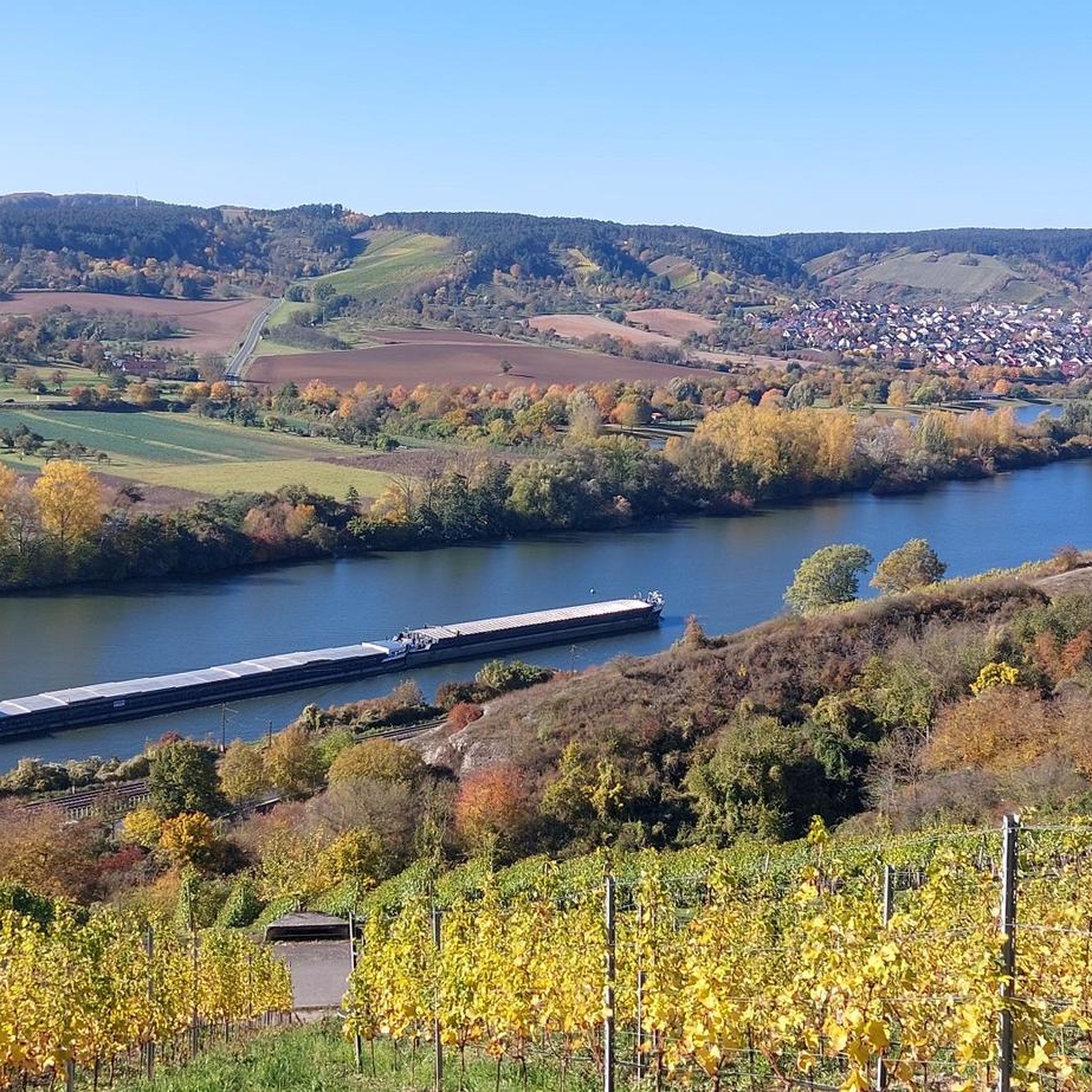
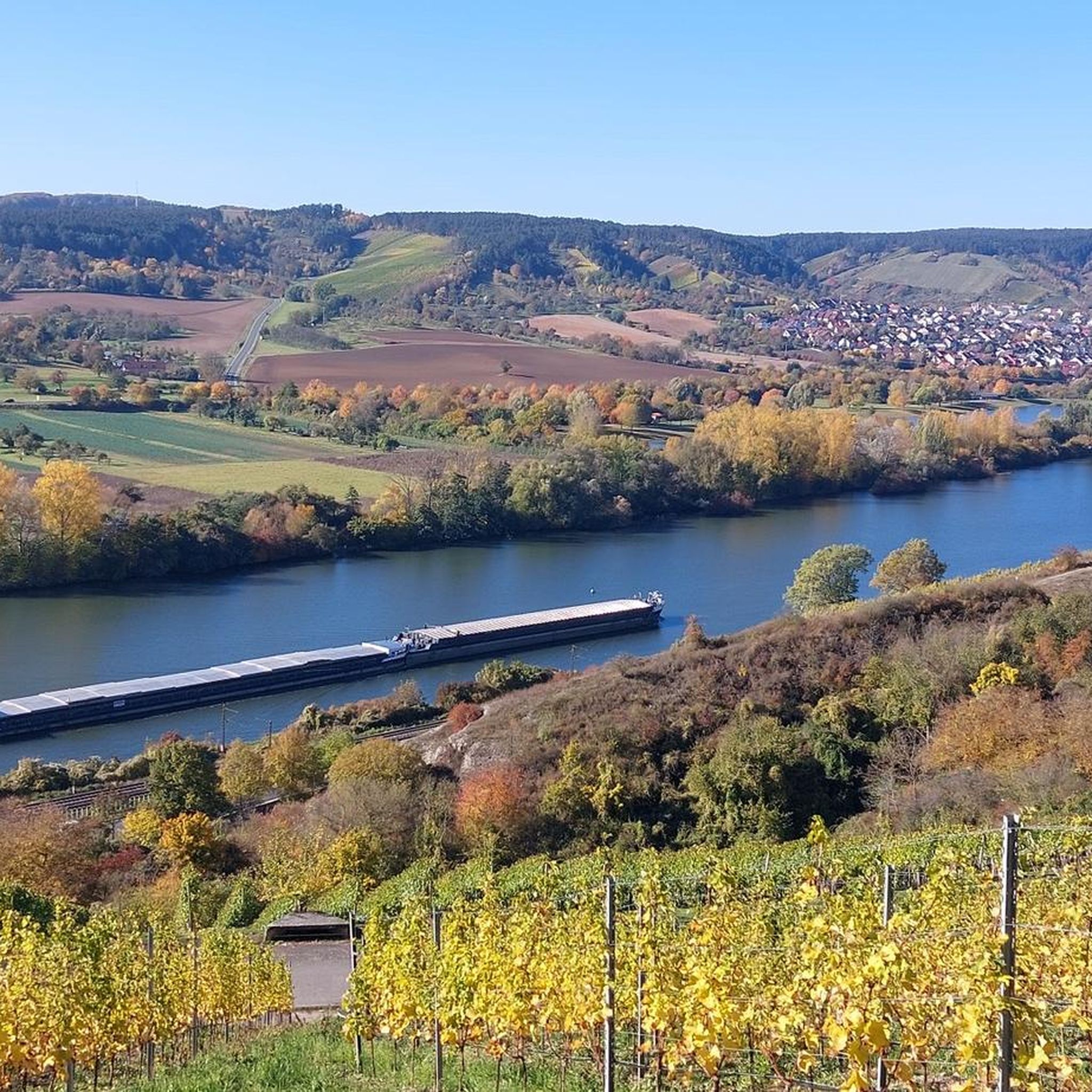
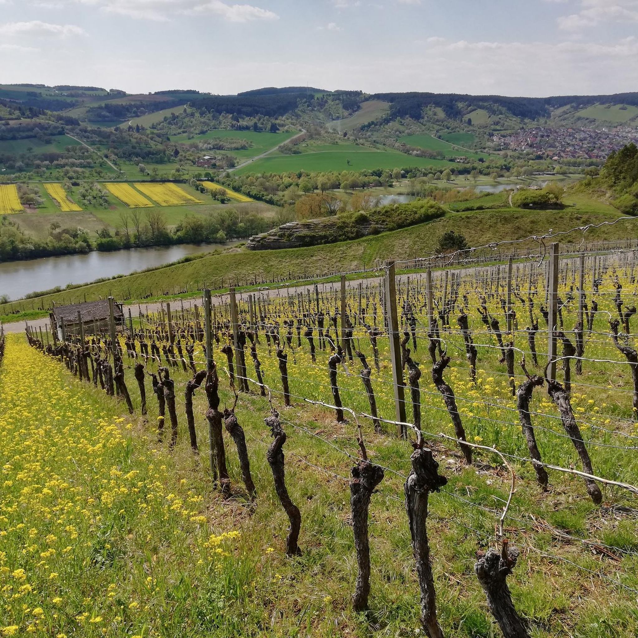
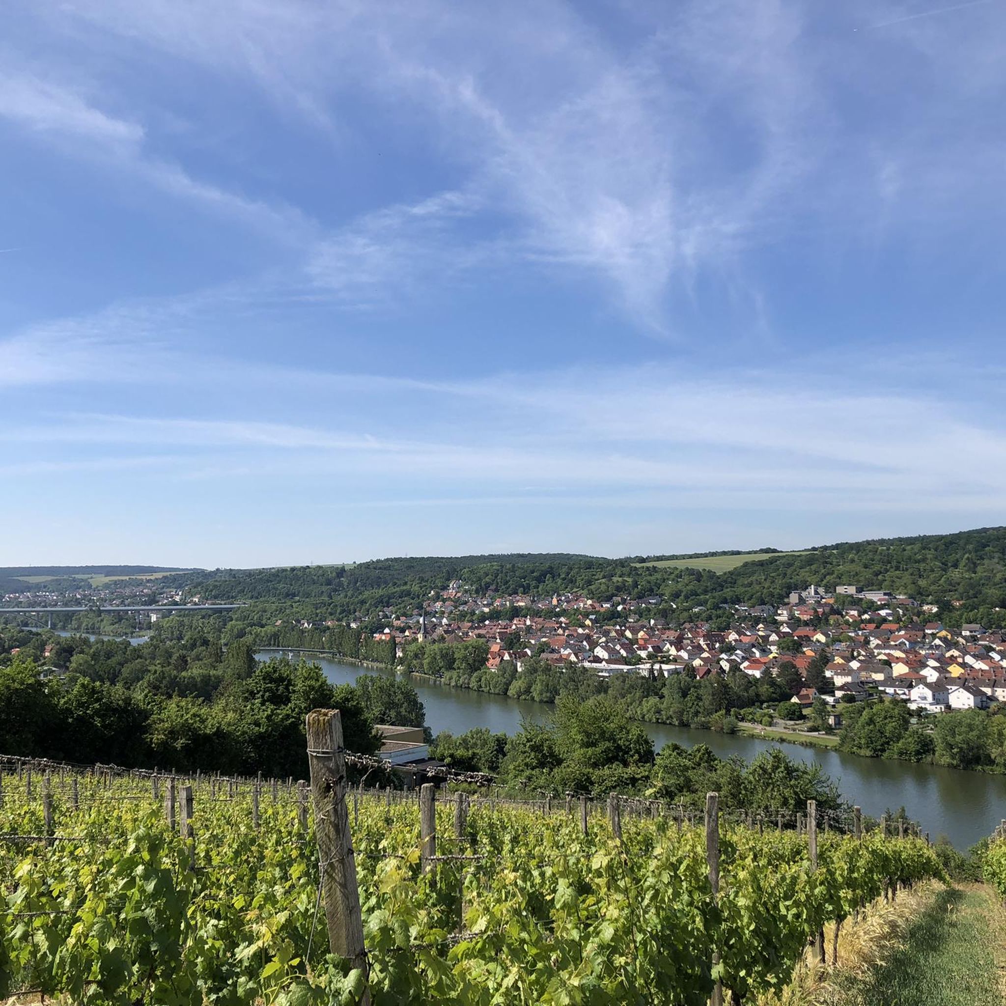
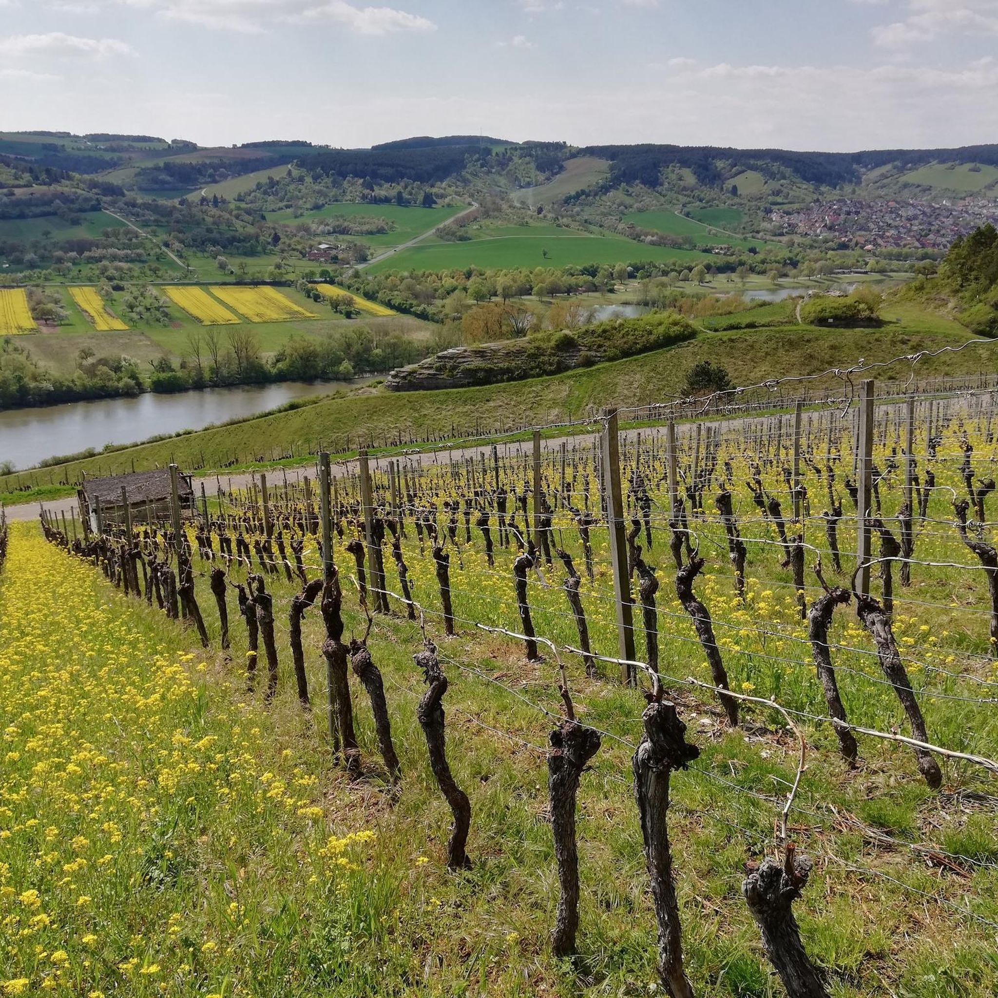
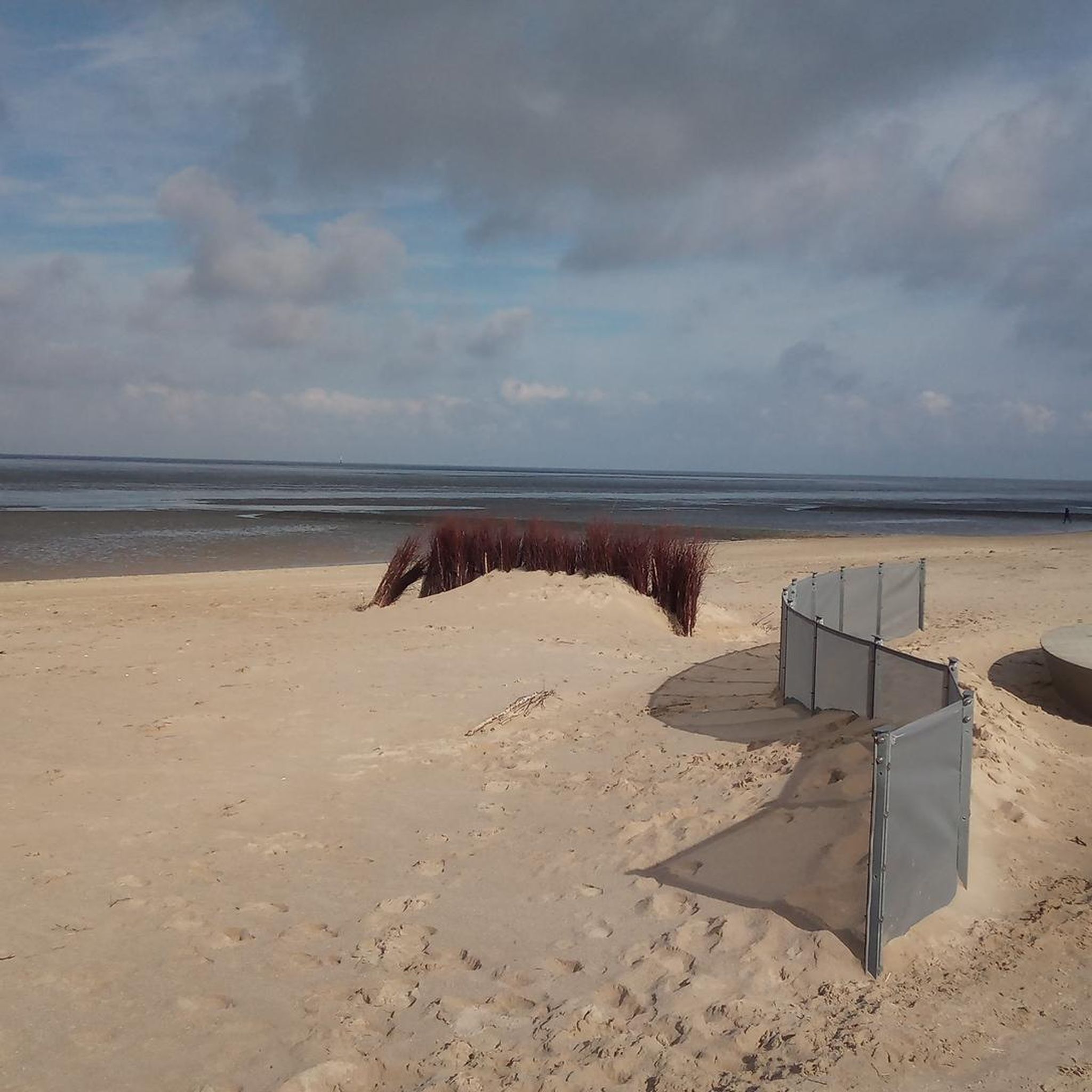
Tips from the Community

Beautiful singletrack trails, perfect for a relaxed run! And of course, it's wonderful to find a shelter to take a short break in the rain... ;-)
0
0

Summit cross – the highest point above the rooftops of Retzstadt. A bit hidden, but a lovely place to take a break. ☺️
0
0

Beautiful view of the many wind turbines 🥰
0
0

A great view here
2
0


Highest point in the Würzburg district. Orientation stone showing which town is in which direction.
0
0

Very nice surroundings The view is also beautiful, worth it
2
0
Frequently Asked Questions
What kind of elevated points can I expect around Veitshöchheim?
Around Veitshöchheim, you'll find charming hills and elevated points within the Main River valley, rather than traditional mountain peaks. These locations offer scenic views of the Main River and the surrounding Franconian wine landscape, providing a gentle outdoor experience.
What are some of the most notable elevated points to visit near Veitshöchheim?
Among the most notable elevated points are the Steinhöhe Summit Cross, which reaches 382 meters and offers views of wind wheels, and the Breitfeldhöhe Summit and Panoramic Viewpoint, the highest elevation in the Maindreieck at 387 meters, providing a wide panorama of the Spessart, Rhön, and Steigerwald regions. Another excellent spot is Breitfeldhöhe – Highest Point Near Retzbach, known for its great views in all directions.
Are there family-friendly elevated points or hikes around Veitshöchheim?
Yes, many of the elevated points and trails around Veitshöchheim are considered family-friendly. For instance, the Steinhöhe Summit Cross and the Breitfeldhöhe Summit and Panoramic Viewpoint are both categorized as suitable for families, offering accessible paths and rewarding views without extreme difficulty.
What kind of views can I expect from these elevated points?
From the elevated points around Veitshöchheim, you can expect panoramic views of the Main River valley, the picturesque Franconian wine landscape, and distant regions like the Spessart, Rhön, and Steigerwald from higher vantage points such as the Breitfeldhöhe.
What outdoor activities can I do near these elevated points?
The region offers a variety of outdoor activities. You can enjoy hiking on trails like the 'Jungle Path – Marian Shrine in the Vineyard loop' or the 'Veitshöchheim Palace – Schenkenturm Observation Tower loop'. For running, options include the 'Main Riverbank, Veitshöchheim – Meegärtle Beer Garden loop'. Cycling enthusiasts can explore routes such as the 'Old Main Bridge Würzburg – View of Marienberg Fortress loop'. You can find more details on these activities in the Hiking around Veitshöchheim, Running Trails around Veitshöchheim, and Cycling around Veitshöchheim guides.
Are there any cultural or historical landmarks associated with these elevated points?
Yes, the Steinhöhe Summit Cross is a notable cultural landmark. Summit crosses are common in Bavaria and add a historical and cultural element to the natural experience. Additionally, the broader region is known for its cultural sites, including the Baroque castle and Rococo gardens in Veitshöchheim itself.
What is the highest point in the Maindreieck region near Veitshöchheim?
The highest elevation in the Maindreieck region is the Breitfeldhöhe Summit and Panoramic Viewpoint, reaching 387 meters. It offers an extensive panorama of the surrounding landscapes.
What do visitors particularly enjoy about the elevated points around Veitshöchheim?
Visitors frequently highlight the rewarding views in all directions, the peaceful atmosphere, and the opportunity to take a break at scenic spots. The presence of summit crosses and the overall natural beauty of the Franconian landscape are also highly appreciated.
Can I access these elevated points using public transport?
Yes, some elevated areas and hiking trails, such as those along the Würzburg-Veitshöchheim Hiking Trail, are accessible by public transport, making it convenient for visitors to reach trailheads without a car.
Are there any challenging trails for experienced hikers?
While many trails are gentle, there are options for more experienced hikers. The 'Harvester Spur' is noted as a challenging summit with beautiful singletrack trails. For longer and more difficult routes, consider the 'Würzburg Residence – Residenzplatz, Würzburg loop' for hiking or the 'Eckerberg – View of the Main Valley loop' for running, both listed as difficult.
What is the terrain like on the hills and elevated points near Veitshöchheim?
The terrain generally consists of charming hills and elevated points, often covered with vineyards and forests. While not mountainous in the traditional sense, they offer varied paths, including some singletrack trails, and provide a good mix of ascents and descents suitable for hiking and enjoying the landscape.
Are there places to rest or get refreshments along the trails?
Yes, some routes, like the Würzburg-Veitshöchheim Hiking Trail, offer refreshment options at various points, including places like Hotel Steinburg and Schenkenturm. Many elevated points also feature benches or designated resting spots, such as the bank at the Steinhöhe Summit Cross.
Most popular routes around Veitshöchheim
Most popular attractions around Veitshöchheim

Get inspired with the komoot mobile app


Explore more
See even more amazing summits around Veitshöchheim with these guides:
