The best walks and hikes around Kraftsdorf
4.6
(537)
2,181
hikers
61
hikes
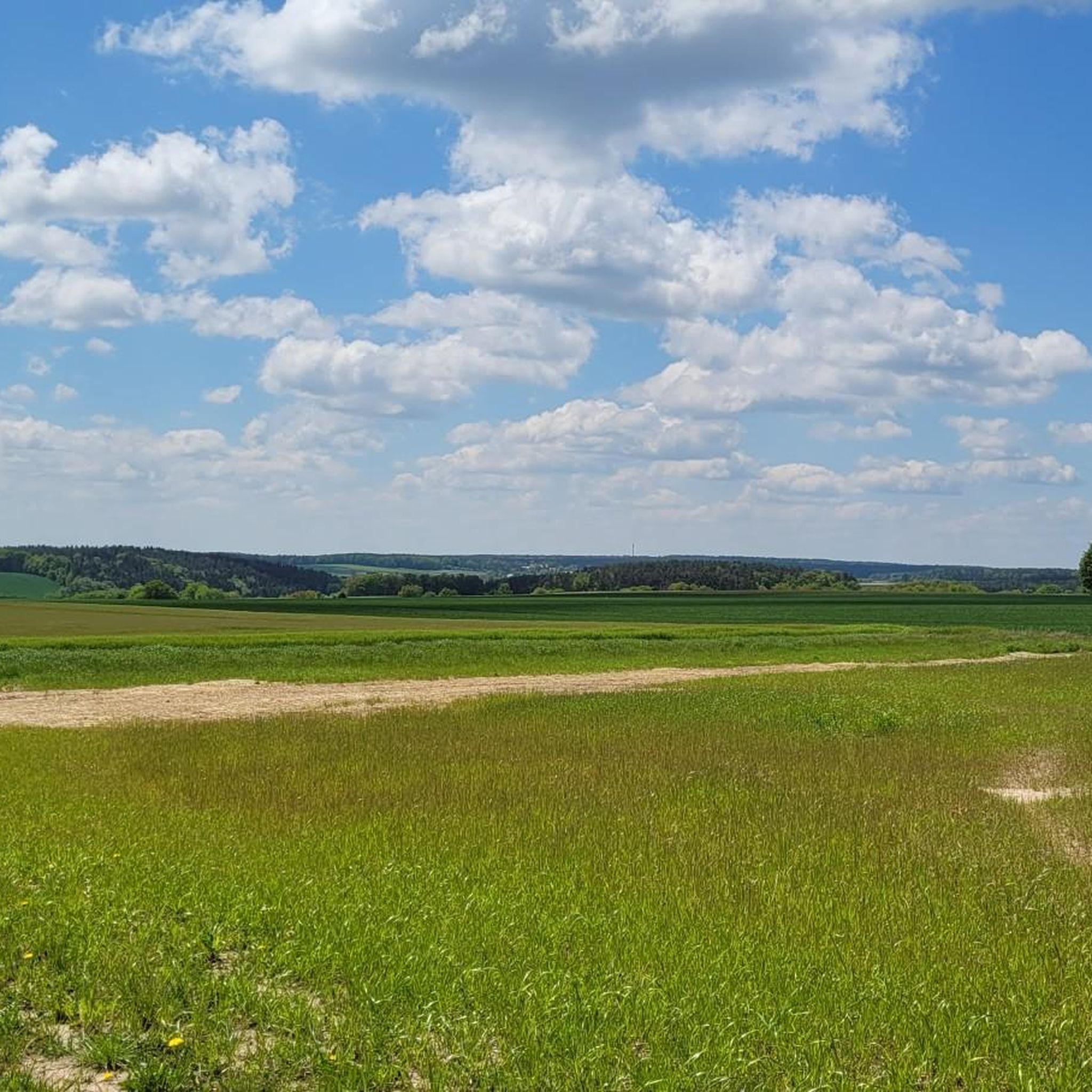
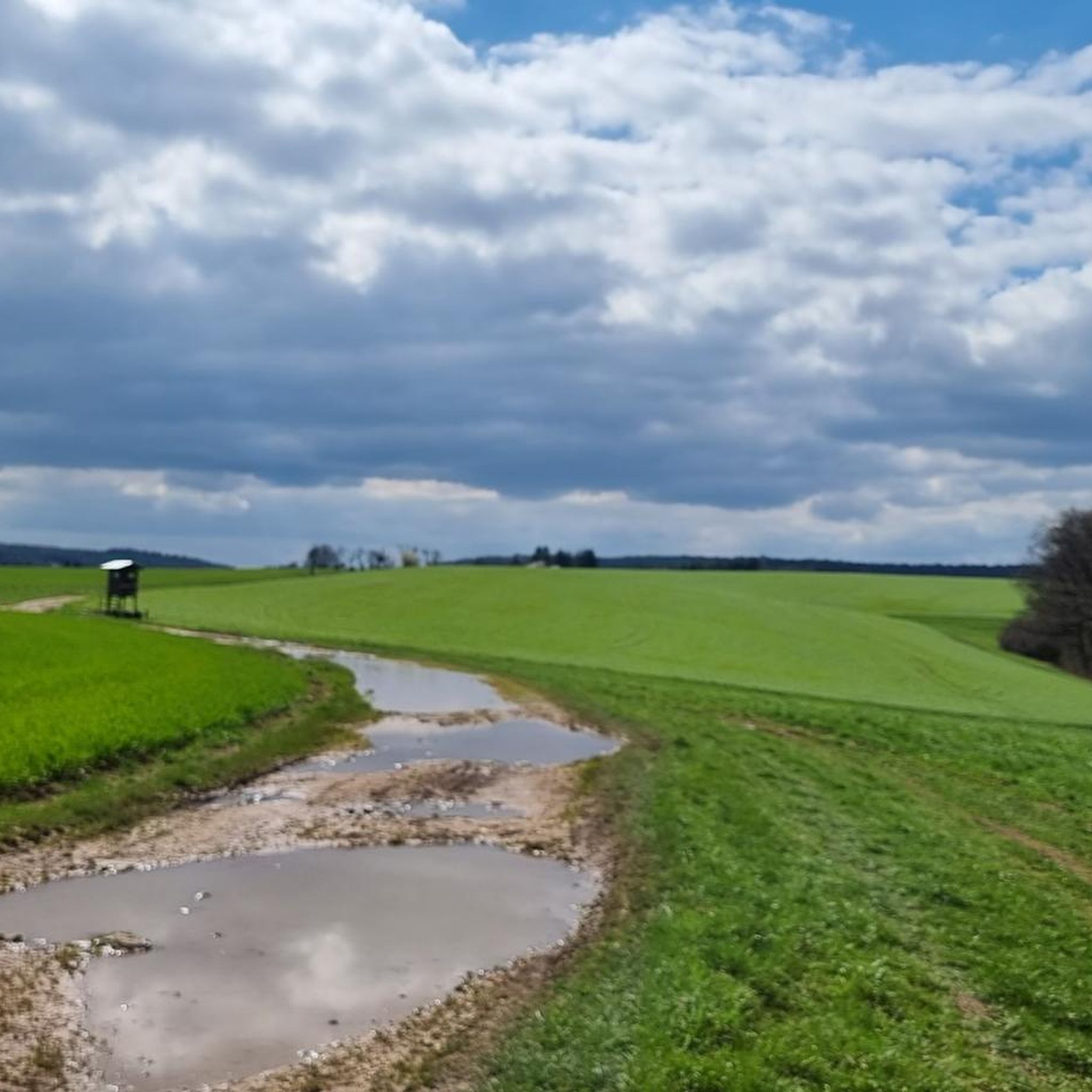
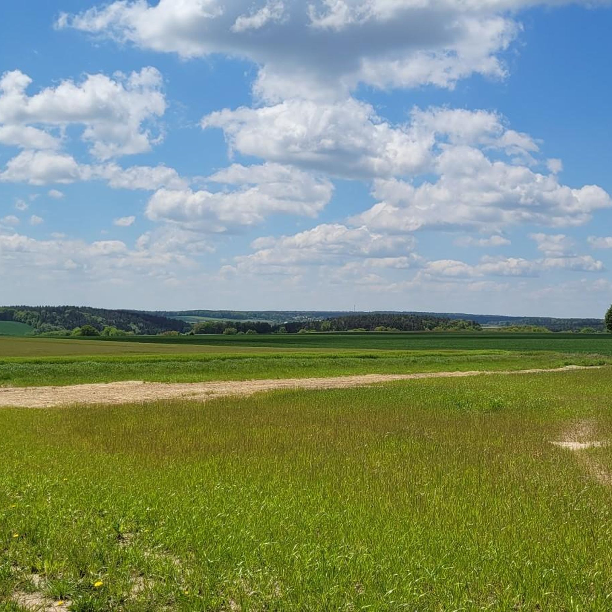
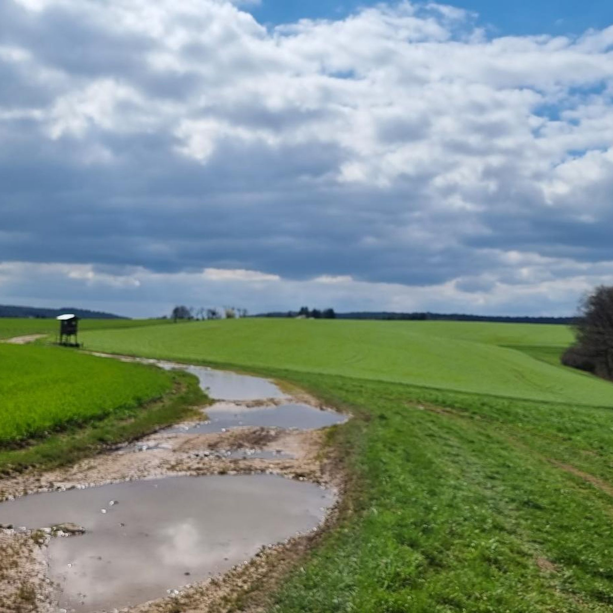
Hiking around Kraftsdorf offers diverse natural features, including rolling hills, expansive green meadows, and forests. The region is characterized by small streams and the River Weiße Elster, providing a serene backdrop for exploration. The Thurmer Grund Forest also contributes to the area's varied terrain, suitable for different hiking experiences.
Best hiking trails around Kraftsdorf
- The most popular hiking route is Wutzmuseum – Tessegrund Pond loop from Kraftsdorf, a 5.3 miles (8.5 km) trail that takes 2 hours 19 minutes…
Last updated: July 10, 2026
4.8
(8)
21
hikers
8.48km
02:19
130m
130m
Moderate hike. Good fitness required. Easily-accessible paths. Suitable for all skill levels.
4.9
(8)
18
hikers
7.28km
01:58
100m
100m
Easy hike. Great for any fitness level. Easily-accessible paths. Suitable for all skill levels.

Sign up for free
5.0
(2)
7
hikers
7.52km
02:01
90m
90m
Moderate hike. Good fitness required. Easily-accessible paths. Suitable for all skill levels.
4.4
(7)
15
hikers
8.92km
02:29
170m
170m
Moderate hike. Good fitness required. Easily-accessible paths. Suitable for all skill levels.
4.6
(5)
10
hikers
14.7km
03:59
210m
210m
Moderate hike. Good fitness required. Easily-accessible paths. Suitable for all skill levels.
Get access to more routes and recommendations from other explorers.
Sign up for free
Already have an account?
Our route recommendations are based on thousands of hikes, rides, and runs completed by other people on komoot.
Start today with a free account
Your next adventure awaits.
Login or Signup

Tips from the Community

A beautifully landscaped rest area at a presumably historical site.
0
0

Added to the collection: https://www.komoot.com/de-de/collection/3600632/-naturdenkmaeler-besondere-baeume-und-weitere-schaetze-der-natur
2
0

Crossroads with rest area and hiking map, connection to public transport and parking
0
0

A trip is definitely worth it.
3
0

⚠️ Caution ⚠️ Between the moor and the sand holes, all paths are interrupted by a large pasture. It's important to stay on the main paths.
1
0

Signpost at a crossroads near the Kalten Eiche (Ernsee)
0
0
Signpost at a crossroads near the Kalten Eiche (Ernsee).
0
0
Frequently Asked Questions
How many hiking trails are available around Kraftsdorf?
There are over 60 hiking trails around Kraftsdorf, offering a variety of experiences for different skill levels. You'll find 27 easy routes and 34 moderate options to explore the region's diverse landscapes.
What is the best time of year to go hiking in Kraftsdorf?
The best seasons for hiking in Kraftsdorf are spring and autumn. During these times, the weather is pleasantly mild, and the natural scenery is particularly vibrant, with blooming flowers in spring or colorful foliage in autumn.
Are there easy hiking options suitable for beginners or families?
Yes, Kraftsdorf offers several easy hiking options perfect for families or those seeking a relaxed walk. The Napoleon Pine – Northern Red Oak loop from Rüdersdorf is an easy 4.5-mile path winding through rolling hills and green forests. The Thurmer Grund Forest is also noted for its well-marked paths and gentle gradients, ideal for exploring with children.
What kind of natural features can I expect to see on hikes around Kraftsdorf?
Hikes around Kraftsdorf feature picturesque landscapes with rolling hills, expansive green meadows, and forests. You'll also encounter small streams and the scenic River Weiße Elster, which offers tranquil natural atmospheres and numerous vantage points. The region's diverse terrain provides a beautiful backdrop for exploration.
Are there any circular hiking routes in the Kraftsdorf area?
Yes, many routes around Kraftsdorf are circular, allowing you to start and end in the same location. Popular options include the Wutzmuseum – Tessegrund Pond loop from Kraftsdorf, which explores the area around Tessegrund Pond, and the Tessegrund Pond – Tesse Valley loop from Kraftsdorf, leading through the Tesse Valley.
Can I find any waterfalls or significant water features on the trails?
Yes, the region has notable water features. The River Weiße Elster is a prominent natural feature with beautiful trails along its banks. Additionally, you can find waterfalls in the broader area, such as the Gera waterfall and the Amselfall Waterfall (Nossengrund), which can be incorporated into longer hiking plans.
What do other hikers enjoy most about the trails in Kraftsdorf?
The trails in Kraftsdorf are highly rated by the komoot community, with an average score of 4.6 stars from over 360 reviews. Hikers often praise the diverse natural features, including rolling hills, green meadows, and forests, as well as the well-maintained network of paths suitable for various ability levels. Over 1100 hikers have used komoot to explore the area.
Are there any historical landmarks or points of interest along the hiking routes?
Yes, the region around Kraftsdorf offers several historical landmarks. You can explore sites like Osterstein Castle, the Wolfsbrücke bridge, and the St. Trinitatis Church. The Eisenberger Mühltal is also notable for its old mills, which provide interesting stops along an eight-kilometer-long path.
Are the hiking trails in Kraftsdorf suitable for dogs?
Generally, the natural trails around Kraftsdorf are suitable for dogs, offering plenty of open spaces and varied terrain. However, it's always recommended to keep dogs on a leash, especially in forested areas or near wildlife, and to check for any specific local regulations or protected areas along your chosen route.
Are there any longer or more challenging hikes available?
While many routes are easy to moderate, longer options exist for those seeking more challenge. For example, the Untermhäuser Bridge Gera – Kalte Oak Ernsee loop from Töppeln is a moderate 10.7-mile trail with significant elevation gain. The broader region of Thuringia also connects to extensive hiking networks, including parts of the Rennsteig in the Thuringian Forest, one of Germany's oldest long-distance trails.
Are there opportunities for refreshments or breaks along the trails?
Yes, particularly in the Eisenberger Mühltal, you'll find old mills that often offer opportunities for breaks and refreshments along the path. For other routes, it's advisable to carry your own provisions, though villages and towns near trailheads may have cafes or pubs.
What are the typical elevation gains on hikes around Kraftsdorf?
The elevation gains on hikes around Kraftsdorf vary, reflecting the region's rolling hills. Moderate routes like the Wutzmuseum – Tessegrund Pond loop typically involve around 128 meters (420 feet) of ascent. Longer, more challenging routes, such as the Untermhäuser Bridge Gera – Kalte Oak Ernsee loop, can have ascents of around 360 meters (1,180 feet).
Most popular routes around Kraftsdorf
Most popular attractions around Kraftsdorf

Get inspired with the komoot mobile app


Explore more
Browse the best Hikes in other regions.
