The 4 Most Amazing Peaks around Toppenstedt
Best mountain peaks around Toppenstedt are characterized by elevated terrain and forested hills rather than traditional mountains. The region, part of the Lüneburg Heath Nature Park, features a relatively flat landscape with an average elevation of 35 meters. While some points reach up to 138 meters, these are considered hills or elevated areas. These locations offer opportunities for exploring natural landscapes and local high points.
Best mountain peaks around Toppenstedt
- The most popular mountain peaks is Finkhüttenberg Summit (64 m)…
Last updated: July 10, 2026
Heidschnuckenweg | Wilsede
Highlight (Segment) • Viewpoint
Translated by Google •
Tip by

Finkhüttenberg Summit (64 m)
Highlight • Summit
Translated by Google •
Tip by

Sign up now to discover places like this
Get recommendations on the best single tracks, peaks, & plenty of other exciting outdoor places.
Sign up for free
Drei-Ahnen-Berg (Lüneburg Heath)
Highlight • Summit
Translated by Google •
Tip by

Ahrberg Summit (143 m)
Highlight • Summit
Translated by Google •
Tip by
Tappenshöhe
Highlight • Summit
Translated by Google •
Tip by

Sign up for free to discover even more peaks around Toppenstedt.
Sign up for free
Already have an account?
Start today with a free account
Your next adventure awaits.
Login or Signup
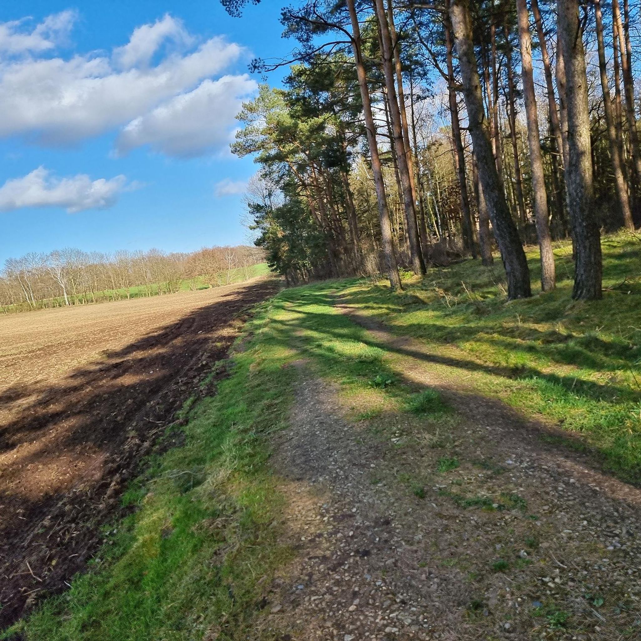
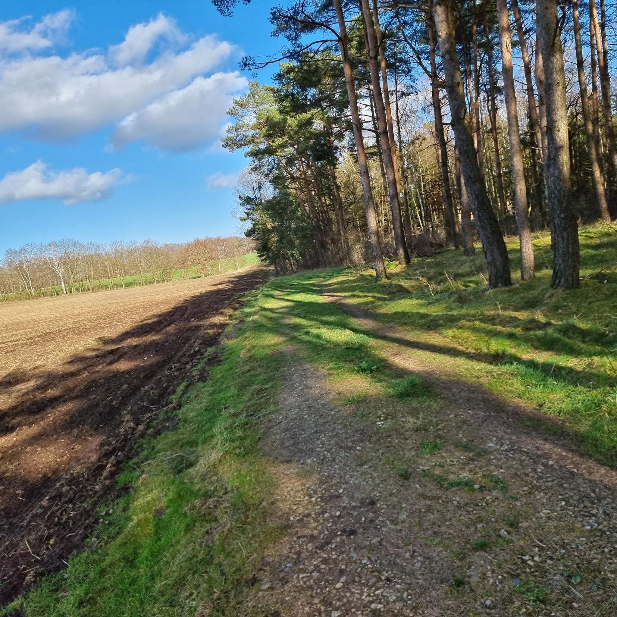
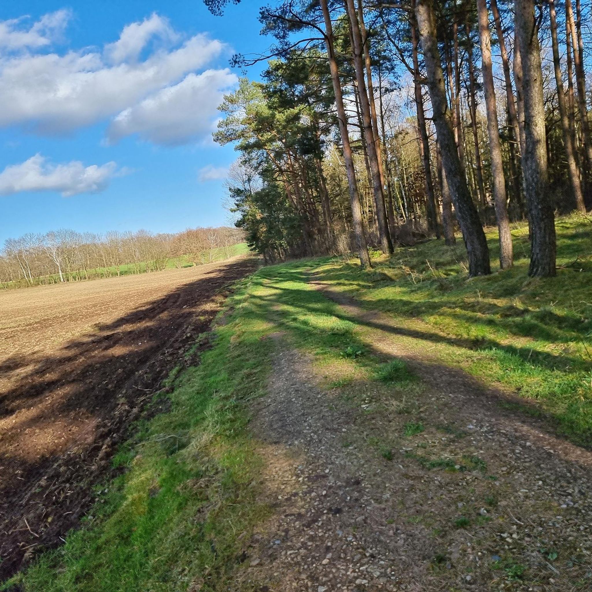
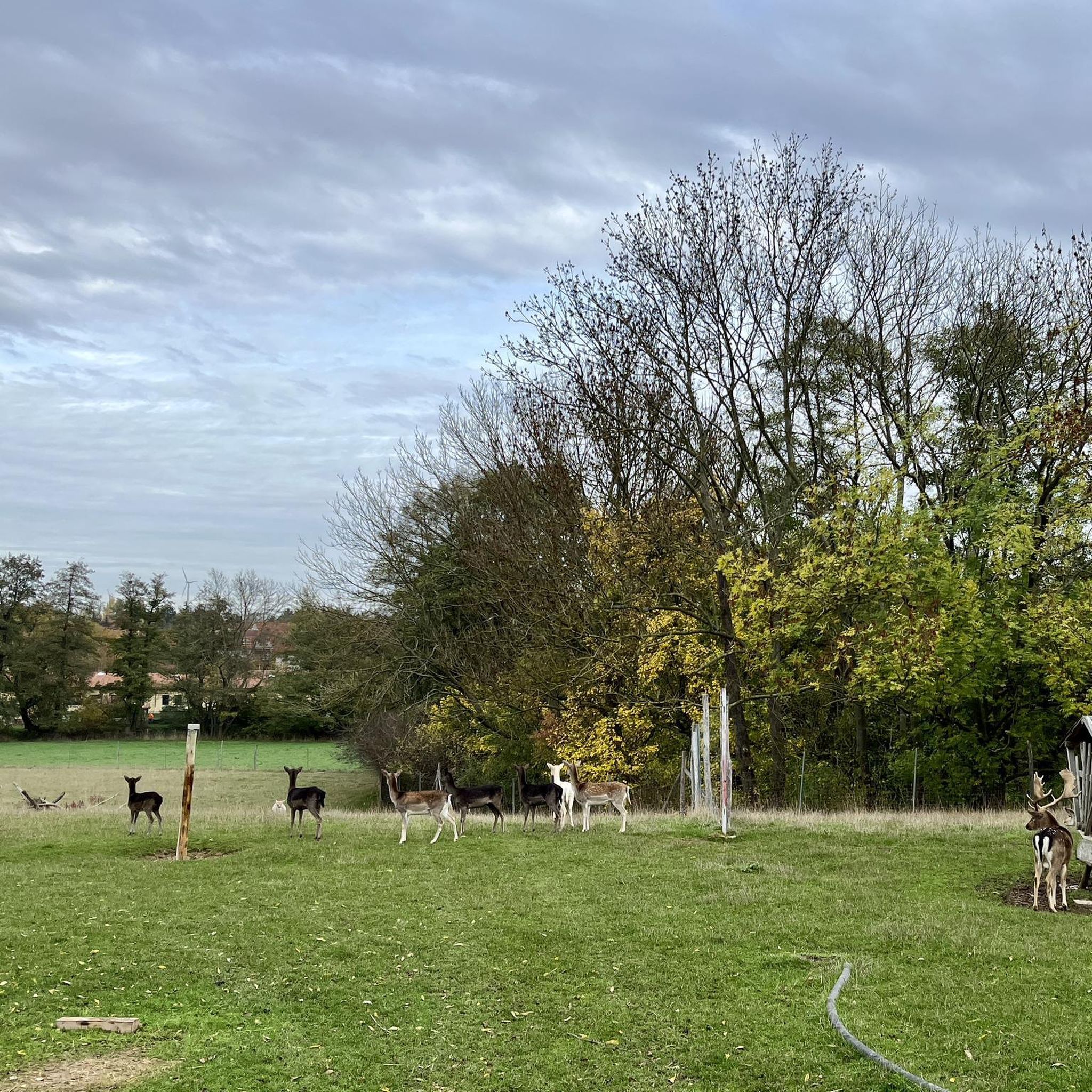
Tips from the Community

110m a.s.l. Steep climb, but not recommended for parents with strollers, for example
0
0

In good weather, you can enjoy a fantastic view of the Lüneburg Heath from here. Especially when the dream is painted in purple...awesome.
4
1

If you want to hike a bit more up and down here in the Nordheide, the paths around and over the Ahrberg are very suitable for this.
1
1

The Lüneburg Heath is one of the oldest and most pristine cultural landscapes in the country. The 223-kilometer-long Heidschnuckenweg, a "Top Trail of Germany," runs through this seemingly endless expanse and lives up to its name. In autumn, the heath glows in incredible colors, especially when the sun is already low and sunset is imminent.
1
1

A great view over the heathland and a beautiful path there.
1
1

The Three Ancestors Mountain is a nature-related mountain that is worth visiting. With its juniper bushes and oaks, the mountain has a height of 110 m, from where you also have a beautiful view of the wildlife park.
1
1

At 110m above sea level, the Drei-Ahnen-Berg is one of the highest elevations in the Lüneburg Heath.
2
1

A short and easy climb and you're at the top. Apart from a crooked boundary stone, there is not much to see, as the surrounding trees prevent a wide view, but a nice stopover.
2
1
Frequently Asked Questions
What kind of 'mountain peaks' can I expect to find around Toppenstedt?
The region around Toppenstedt is characterized by elevated terrain and forested hills rather than traditional mountains. These 'peaks' are generally high points within the Lüneburg Heath Nature Park, offering opportunities to explore natural landscapes and local viewpoints. For example, the highest point in Buchwedel is the Finkhüttenberg Summit (64 m), and the Ahrberg Summit (143 m) is one of the highest elevations in the area.
Are there any viewpoints among the peaks near Toppenstedt?
Yes, while dense forest can sometimes limit views, some elevated spots offer scenic outlooks. The Ahrberg Summit (143 m), for instance, provides impressive views of the surrounding area, especially in winter when the trees are bare. The Hamberg Summit in Naturpark Lüneburger Heide also offers views from its elevated position.
Which peaks are suitable for families with children?
The Finkhüttenberg Summit (64 m) and Tappenshöhe are both considered family-friendly. Tappenshöhe, at 65.3 meters, even features an older rest hut with seating, making it a good spot for breaks. In winter, Tappenshöhe is also known as a great toboggan run.
What kind of natural features can I expect to see on these elevated areas?
The 'peaks' around Toppenstedt are primarily characterized by dense forests and heathland, as they are part of the Lüneburg Heath Nature Park. You'll find lush woodlands, especially around summits like Finkhüttenberg Summit (64 m) and Ahrberg Summit (143 m). Some areas, like Tappenshöhe, are also recognized as natural monuments.
Are there hiking trails near these elevated areas?
Yes, the region offers various hiking opportunities. For easy walks, you can explore routes like 'Spatzerteich – Bench With a View of the Pond loop from Toppenstedt' or 'Tangendorfer Ponds loop from Tangendorf'. You can find more details and routes in the Easy hikes around Toppenstedt guide.
Can I go cycling near the elevated areas around Toppenstedt?
Absolutely. The area is well-suited for cycling. You can find routes like 'Path Along the Luhe – Fruit Trees on Wittorfer Weg loop from Toppenstedt' for touring bicycles, or 'Smooth Trail in Lüneburg Heath – Lake With Island loop from Tangendorf' for road cycling. Explore more options in the Cycling around Toppenstedt guide or the Road Cycling Routes around Toppenstedt guide.
What is the highest point in the immediate Toppenstedt area?
The Ahrberg Summit, at 143 meters, is one of the highest elevations in the broader Toppenstedt area. Within specific local forests, Tappenshöhe is the highest point in the Radbrucher- / Einehofer forest at 65.3 meters.
Are there any facilities like rest huts or benches on these elevated areas?
Yes, for example, Tappenshöhe features an older rest hut with seating, providing a convenient spot for a break during your exploration. The Hamberg Summit in Naturpark Lüneburger Heide also has a bench with a trash can.
What do visitors particularly enjoy about the elevated areas around Toppenstedt?
Visitors appreciate the opportunities for exploring natural landscapes and local high points. Many enjoy the dense forests for hiking and cycling. For instance, the Hamberg Summit in Naturpark Lüneburger Heide is popular as a starting point for mountain bike descents, and Tappenshöhe is a favorite for sledding in winter.
Is there a 'summit cross' or similar marker at these peaks?
While you might expect a summit cross on traditional mountains, the elevated areas around Toppenstedt typically feature more modest markers. For example, at Finkhüttenberg Summit (64 m), you'll find an ordinary measuring stone rather than a proper summit cross. The Ahrberg Summit (143 m) has a Gimpfel marker slightly off the beaten path.
What is the best time of year to visit the elevated areas around Toppenstedt?
The Lüneburg Heath region is beautiful year-round. In winter, the Ahrberg Summit (143 m) offers particularly impressive views due to the lack of foliage. For activities like sledding, winter is ideal at Tappenshöhe. Spring and autumn offer pleasant temperatures for hiking and cycling through the forests.
Are there any historical or cultural points of interest near these elevated areas?
While the focus is on natural landscapes, some areas have historical mentions. For instance, the Finkhüttenberg Summit (64 m) was described in a travel guide over 100 years ago. The Krähenfuß is also noted as a natural and man-made monument, indicating some historical significance or structure.
Most popular routes around Toppenstedt
Most popular attractions around Toppenstedt

Get inspired with the komoot mobile app


Explore more
See even more amazing summits around Toppenstedt with these guides:
